Gipfel · Durmitor · 2.523 m
Bobotov Kuk
Unser Urteil
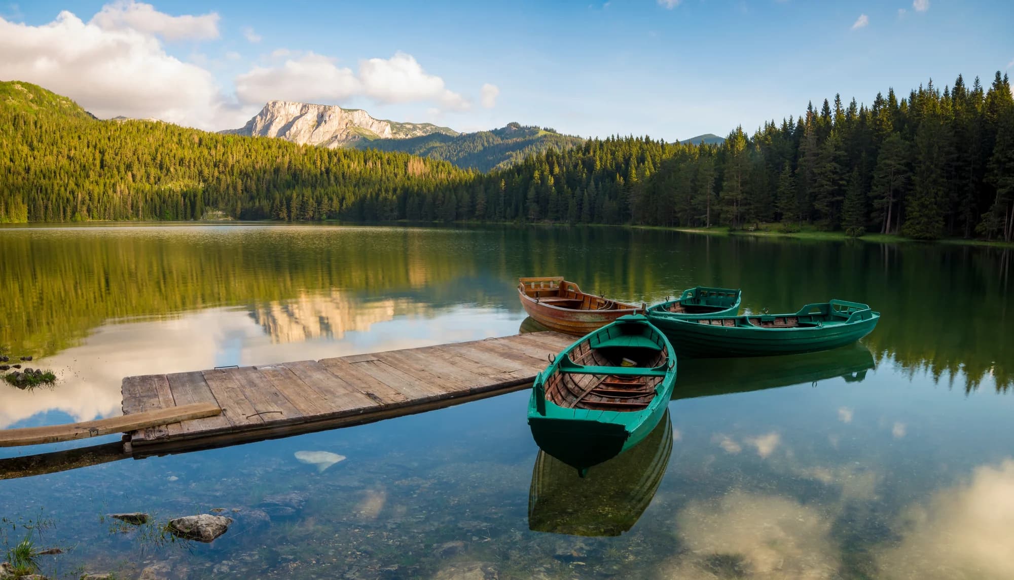
Der bekannteste Gipfel des Durmitor und der, den die meisten meinen, wenn sie sagen, sie hätten in Montenegro einen Berg bestiegen. Der letzte Abschnitt ist eine Kletterei im Kalkstein, stellenweise mit Ketten, und der Blick vom Gipfel umfasst die gesamte Hochebene und die Tara-Schlucht dahinter.
Der ehrliche Teil
Er wird sehr oft als höchster Punkt Montenegros bezeichnet. Das ist er nicht — die Zla Kolata in den Prokletije ist zwölf Meter höher, und zwei weitere Gipfel auf diesem Grat sind noch höher. Der Bobotov Kuk ist der höchste Punkt des Durmitor-Massivs, was eine andere Aussage ist und die, die es wert ist, getroffen zu werden.
Wann hin
Ende Juni bis Anfang Oktober. Die Aufzeichnungen zeigen in dieser Höhe an etwa einem Drittel der Apriltage eine Schneedecke von 30 cm, die meist bis Mitte Mai verschwunden ist, doch Rinnen halten den Schnee viel länger.
- Gipfeltag
- Aussicht
- Tagestour
Wo das liegt
Wie weit, und wie viel hinauf
Vom nächsten Parkplatz sind es auf Bobotov Kuk 3.74 km Weg und 952 m Aufstieg, beginnend auf 1.749 m.
- Strecke
- 3.74 km
- Aufstieg
- 952 m
- Von
- 1.749 m
- Bis
- 2.463 m
Gemessen entlang des OpenStreetMap-Wegenetzes ab dem nächsten mit dem Auto erreichbaren Knoten, mit Höhen aus dem Copernicus-DEM an hundert Punkten. Der Aufstieg ist der Gesamtanstieg einschließlich der Zwischenabstiege, nicht die Differenz der Endpunkte. Ein 90-m-Modell glättet kurze Steilstufen, also gilt der Wert als Untergrenze.
Absichtlich keine Gehzeit. Strecke und Aufstieg sind messbar, das Tempo gehört der Person. Jedes „vier bis fünf Stunden" im Netz ist eine Schätzung im Gewand einer Zahl.
Der Weg hinauf verliert außerdem 238 m, was ein Nettowert verstecken würde.
Wann der Schnee liegt
Am Bobotov Kuk ist eine Decke von 30 cm normalerweise von Mai bis Nov verschwunden. Außerhalb dieses Fensters planen Sie mit Schnee.
Im Datensatz lag der Boden ab etwa 20. April verlässlich unter 5 cm und ging um 28. November wieder unter Schnee. Das sind Mediane aus elf Jahren, kein Versprechen für dieses.
| Monat | Über 1 cm | Decke über 30 cm | Mittlere Höhe | Tageshöchstwert |
|---|---|---|---|---|
| Jan | 96 % | 69 % | 47 cm | -7.3 °C |
| Feb | 95 % | 67 % | 58 cm | -5.1 °C |
| Mär | 91 % | 65 % | 61 cm | -3.0 °C |
| Apr | 68 % | 32 % | 33 cm | 1.4 °C |
| Mai | 12 % | 3 % | 2 cm | 6.6 °C |
| Jun | — | — | — | 12.1 °C |
| Jul | — | — | — | 14.8 °C |
| Aug | — | — | — | 14.8 °C |
| Sep | 1 % | — | — | 9.9 °C |
| Okt | 12 % | — | 1 cm | 5.2 °C |
| Nov | 38 % | 1 % | 3 cm | 0.1 °C |
| Dez | 86 % | 29 % | 19 cm | -4.5 °C |
Die Winter schwanken stärker, als jeder Mittelwert vermuten lässt. Über 10 Winter trug Bobotov Kuk eine Decke von 30 cm im Median 75 Tage lang: 0 im Winter 2019 und 145 im Winter 2021. Elf Winter sind ein Datensatz, kein Klima, und nichts hier ist ein Trend.
| Winter | Tage über 30 cm | Maximum |
|---|---|---|
| 2015–16 | 39 | 63 cm |
| 2016–17 | 75 | 66 cm |
| 2017–18 | 131 | 140 cm |
| 2018–19 | 113 | 103 cm |
| 2019–20 | — | 25 cm |
| 2020–21 | 132 | 144 cm |
| 2021–22 | 145 | 113 cm |
| 2022–23 | 60 | 65 cm |
| 2023–24 | 3 | 32 cm |
| 2024–25 | 60 | 71 cm |
Die Temperaturen sind auf 2.463 m korrigiert, die Geländehöhe am abgefragten Punkt; der Gipfel liegt auf 2.523 m. Die Schneehöhe ist nicht korrigiert — sie ist eine Gitterzelle von etwa neun Kilometern, also als Massiv und nicht als Gipfel zu lesen.
Diese Zelle wird mit Durmitor geteilt, die Schneehöhen dort sind also genau diese Zahlen. Die Temperaturen sind nicht geteilt — die sind auf jeden Gipfel korrigiert.
Reanalyse aus ERA5-Land (Copernicus), bereitgestellt von Open-Meteo.
Bobotov Kuk in Zahlen
Der Berg
| Gipfel | 2.523 mOpenStreetMap peak node, ele 2523 (Q671897) |
|---|---|
| Massiv | Durmitor |
| Art | Gipfel |
| Bezugshöhe | 2.463 mDie Höhe, auf die die Temperaturbilanz korrigiert ist. Der Gipfel liegt auf 2.523 m. |
Der Weg nach oben
| Ausgangspunkt | Sedlo-Pass oder der längere Zustieg von Žabljak an den Seen vorbei |
|---|---|
| Schwierigkeit | Kletterstellen |
| Straße | Der Sedlo ist über eine asphaltierte Straße erreichbar, die im Winter gesperrt ist |
| Parken | Am Straßenrand |
| Lift | keiner |
| Bus | Nicht geprüft |
| Markierter Weg | Ja |
Oben
| Hütte | Sušica, planinarski dom, 6,8 km entfernt |
|---|---|
| Wasser | Quellen im Umkreis von 4 km verzeichnet |
| Essen | Nichts |
| Toiletten | Nein |
| Schutzhütte | Nein |
| Handynetz | Nein |
Gefahren
- Ausgesetzte Kletterei nahe dem Gipfel
- Kein Wasser auf der Route
- Kein Mobilfunkempfang
Angaben zuletzt am 30. September 2026 gegen ihre Quellen geprüft.
Woher diese Angaben kommen
- OpenStreetMap natural=spring and amenity=drinking_water nodes within 4 km for the water field
- OpenStreetMap tourism=alpine_hut and wilderness_hut nodes for the nearest mountain hut and its distance
- OpenStreetMap peak node for the elevation and position
- Open-Meteo ERA5-Land archive 2015–2025 for the snow and temperature record