Lepetane in 2026: Ferry, Verige Strait and a Careful Bay Stop
From the ArchivesUpdated Originally published 13 min readby Pavle Obradović
Use Lepetane as a working ferry gateway or a quiet Bay of Kotor stop, with verified 2026 sailings, official fares, nearby beaches and carefully sourced heritage.
Lepetane is a transport hinge before it is a resort. The
waterfront settlement sits on the Tivat side of the Verige Strait, where the
vehicle ferry crosses to Kamenari. It can shorten a drive between Tivat and
Herceg Novi, but it also rewards a deliberate stop: a working quay, small
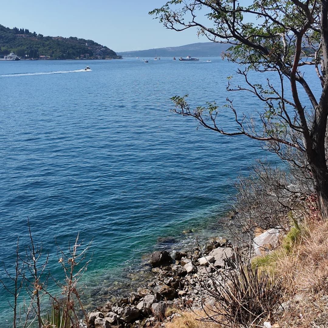
bathing places, stone churches and a compressed view into the inner Bay of
Kotor.
This guide separates the useful 2026 facts from inherited folklore. Ferry
frequency and prices come from the operator; beach and church descriptions
come from Tivat’s tourism and cultural institutions; the wider landscape
context comes from UNESCO. Anything that changes by the hour—queues, parking,
weather and beach conditions—must still be checked on the day.
The crossing works on a seasonal rhythm
Plan
Frequency
Notes
2026 summer plan · 4 May–14 October
Every 15–20 min
continuous day and night
Published winter pattern
20 min · 06:00–00:00
Hourly overnight, opposite half-hours by bank
Caveat
Published plan ≠ guaranteed boarding time
recheck before travel
Source: trajekt.me
What Lepetane is—and who should stop
Lepetane is best understood as a narrow coastal settlement wrapped around an
active ferry landing. Through-traffic is part of its daily character.
Travelers who want a full resort promenade, a wide choice of restaurants or a
large beach should base themselves elsewhere. Travelers interested in the
geometry of the bay, local maritime infrastructure and a quiet shoreline pause
may find it unusually revealing.
A short stop suits pedestrians arriving on the ferry, cyclists comfortable
with traffic, drivers who already have a legal place to leave the car, and Bay
of Kotor repeat visitors. A long spontaneous stop is less sensible if the road
is busy, mobility is limited, or parking is uncertain. Do not stop in a ferry
lane, road shoulder or private entrance. The settlement’s small scale does not
make traffic conflict harmless.
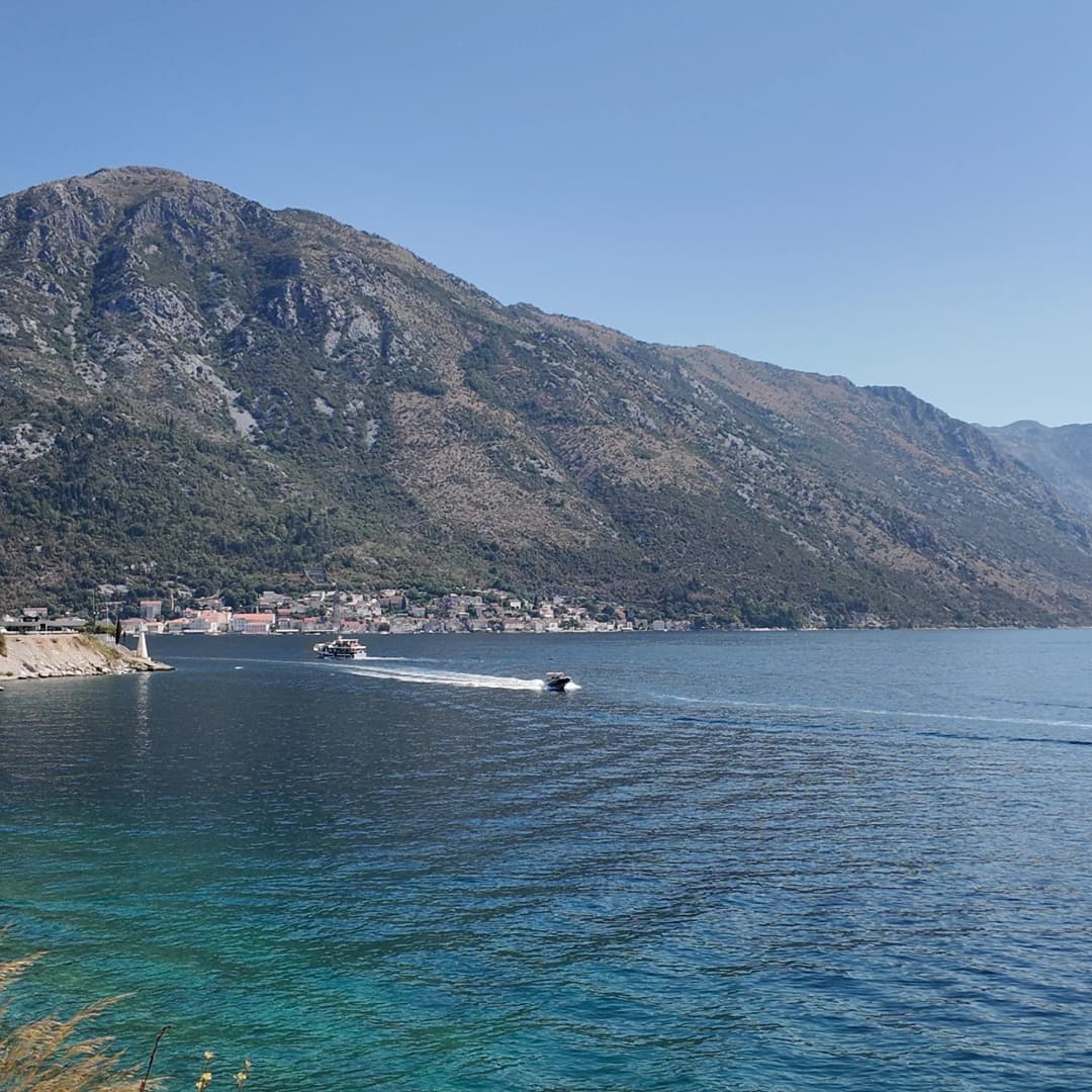
Perast lies inside the strait; Lepetane’s value comes partly from reading
this compressed bay geography rather than ticking off a conventional
attraction list.
The Kamenari–Lepetane ferry in 2026
Kamenari → Lepetane
Verige Strait crossing
By ferry5 min
Round the bay45 min
Car, passengers included
€4.50
Motorcycle
€2
On foot
€1
Runs 24 hours a day, all year, with a boat every 10 to 15 minutes.
0006121824
No wait
Up to one sailing
30–45 min queue
The official
2026 sailing page
says the summer plan runs from 4 May to 14 October, with departures every
15–20 minutes continuously through the day and night. Its displayed winter
plan uses 20-minute departures from 06:00 to midnight, followed by hourly
departures—on the hour from Kamenari and at half past from Lepetane. Because
the winter dates shown bridge 2025–26, travelers after 14 October 2026 should
wait for the operator’s next dated plan rather than assuming the old dates
repeat.
The timetable grid shows nominal 15-minute crossing intervals in the summer
pattern. That does not make “15 minutes” a complete door-to-door estimate. A
driver must also reach the queue, load, cross, unload and rejoin the road. At
a quiet moment the ferry can be efficient; at a peak arrival wave the waiting
component can dominate. The correct comparison is the live ferry situation
against the longer road around the inner bay—not ferry sailing time against
road driving time.
Pedestrians and cyclists have a different calculation. The operator currently
states that both travel free. Walking onto the vessel can be a useful scenic
link between the two shores, but the roads at either landing still carry
vehicles. Wear visible clothing in poor light, keep children close during
loading and follow crew instructions rather than moving for a photograph.
Price depends on traveler and season
Traveler / vehicle
Price
Condition
Walk / bicycle
Free
operator fare page
Motorcycle
€1.50 / €2.50
off-season / season
Small car
€4 / €5
off-season / season
Eligible resident
€3
Tivat / Herceg Novi
Before boarding
Recheck price, eligibility and vehicle class
The detailed PDF remains linked from the current operator page.
Source: trajekt.me
Prices, tickets and boarding assumptions
Current ferry treatment by traveler type
Traveler
Published treatment
What to confirm
Pedestrian
No fare
Safe access and crew instructions
Cyclist
No fare
Loading position and road conditions
Motorcycle
€1.50 off-season; €2.50 season
Season and current tariff
Small car / pickup
€4 off-season; €5 season
Vehicle class and current tariff
Tivat / Herceg Novi resident
€3 advertised
Eligibility and proof required
Van, minibus, trailer or truck
Separate class
Exact category on detailed price list
The operator’s
detailed price PDF
lists an ordinary small car or pickup at €4 off-season and €5 in season; a
motorcycle is €1.50 or €2.50. Larger vans, trailers, minibuses and freight
vehicles have different classes. Do not force an unusual vehicle into the
passenger-car price.
The current
price page
also states that pedestrians, cyclists and people with disabilities travel
free and advertises a €3 fare for residents of Tivat and Herceg Novi. That
resident rate is not a tourist discount. Ask what proof is required if you are
eligible.
The official site provides online ticket purchasing. Treat the ticket as
evidence of purchase, not as an invented priority-lane promise. Save the
confirmation offline, check whether the vehicle registration and class are
correct, and follow staff directions at the landing.
Choose the route, not the icon on the map
Option
When it fits
Ferry can fit when
queue looks manageable; destination is west; vehicle class is clear
Bay road can fit when
you want Kotor / Perast; ferry access is disrupted; stops matter more than speed
Never assume
a fixed queue; priority from online purchase; a guaranteed arrival time
Rule
Recalculate at the decision point.
Montenegro.com editorial framework
Ferry or the road around the bay?
For Herceg Novi, Portonovi and the western shore, the ferry can remove the
long inner-bay arc. For Kotor, Perast, Risan or Morinj, driving around may be
part of the itinerary rather than wasted distance. A traveler heading for
Morinj should
compare both route and desired stops; someone continuing to
Portonovi may value the
direct western-shore connection more.
Do not turn this into a universal time-saving claim. Seasonal traffic can
affect both choices. Navigation estimates cannot see a future ferry queue,
while a photograph of a queue cannot predict conditions when you arrive. Keep
fuel, daylight, mobility and check-in deadlines in the decision. If the timing
is critical, build a buffer rather than betting on a perfect crossing.
The ferry links the Tivat side to the Herceg Novi shore; the destination
after Kamenari still determines the rest of the drive.
A careful one- to two-hour Lepetane stop
Begin only after finding a legal place to leave the vehicle. If none is
available, continue; the settlement is not improved by obstructing residents
or ferry traffic. On foot, observe the loading area first and cross roads at
the safest available point. The waterfront is linear, so an out-and-back walk
is easier to control than a loop.
Read the ferry landing. Watch the sequence of unloading,
vehicle staging and pedestrian boarding from outside operational lanes.
Walk away from the ramp. The settlement becomes quieter as
the ferry machinery recedes, but the coastal road still demands attention.
Look across the strait. The narrow waterway explains why
this location has mattered to movement and defence.
Choose one heritage or shoreline objective. Do not combine
an uncertain roadside walk, swimming and a hard onward deadline.
Turn back early. Heat, traffic and the absence of
continuous pavement can make a short map distance feel longer.
A small place still needs a plan
Step
Action
1
Park legally
2
Clear the ramp
3
Pick one aim
4
Assess return
5
Leave margin
Rule
No legal stopping place means no stop.
Montenegro.com editorial framework
Verige and Opatovo: swimming with caveats
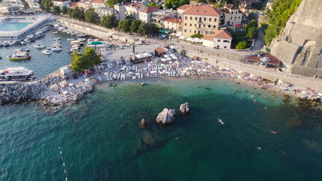
Tivat’s official
beach inventory
describes Verige beach near the strait and Opatovo near the ferry. It calls
Opatovo roughly 200 metres long, mainly pebbly with some sand, divided by a
lighthouse and with some natural shade. Those are location characteristics,
not a live safety report.
Before swimming, assess vessel movement, wind, current, water appearance,
access and any posted local instructions. Do not swim in operational ferry
water or use a navigation channel as a scenic shortcut. A beach can be mapped
and still lack the lifeguard, shade, step-free access, shower or open facility
a visitor expects that day.
Verige’s official description notes cooler water associated with freshwater
streams. That may be refreshing, but “clear” or “cool” should never be read as
a laboratory water-quality result. Families should inspect the exact entry,
depth and traffic separation before unpacking. If the objective is a
conventional beach day, compare other options from a Tivat base rather than
treating every small cove as fully serviced.
Mapped does not mean ready for every swimmer
Check
Response
Operational water?
stay out
Posted limits?
obey locally
Entry suitable?
inspect first
Facilities open?
never assume
Exit secured?
keep margin
Rule
Proceed only when every relevant answer is satisfactory.
Source: tivat.travel
Churches, legends and what the evidence supports
What the sources say
The strongest concise local record is the Tivat Tourism Organisation’s
sacred-heritage inventory, which attributes its material to Tivat Culture Center and Buća Museum and
Gallery. It records the Lepetane parish church of St Anthony of Padua as built
in 1760, with a baroque marble altar added by local benefactors in 1869. It
also notes St Anne beside the main road and describes the hill church of St
Elijah as being in poor condition at the time of the inventory.
At Verige, the inventory distinguishes two Marian sites. Our Lady of the Snow
is recorded in documents in 1469 under the name “De Rexa.” The popular name
Our Lady of Rice comes from a story about a captain promising a church if his
crew and rice-laden ship survived a storm. That is valuable living tradition,
but the story remains a legend—not evidence for the exact construction event.
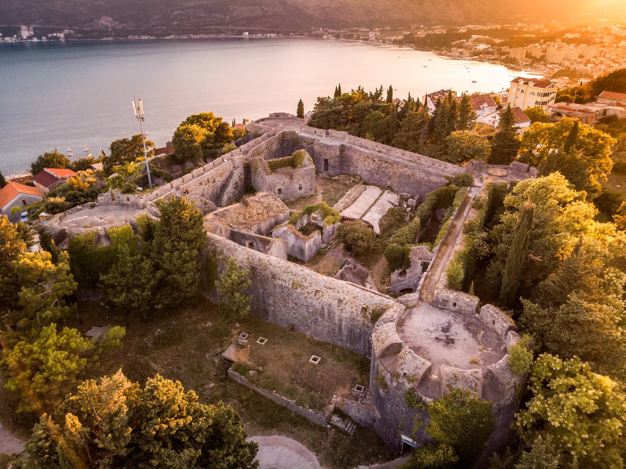
Our Lady of the Angels stands in a fortified complex on the southern cape. The
same inventory records mentions in 1469 and 1526, identifies Gothic
characteristics consistent with a 15th-century church, and says it became a
legally protected cultural asset in 1976. Respect gates, services, private
boundaries and any closure. A cultural-property listing is not an invitation
to enter an unsafe or restricted structure.
Keep evidence and tradition in separate lanes
Evidence type
How to treat it
Documented mention or protected status
state exactly
Architectural dating
attribute as an assessment
Oral account
preserve clearly as legend
Unsourced precision
omit
Source: tivat.travel, whc.unesco.org
Lepetane in the protected Bay of Kotor landscape
UNESCO describes the Kotor World Heritage property as the inner south-eastern
part of the bay, linked to the wider Boka landscape through a narrow channel
that forms a central visual axis. Its buffer zone encompasses the wider bay,
and UNESCO’s account stresses the relationship between settlements, coast,
routes and steep slopes. Lepetane is therefore important to the setting
without being carelessly equated with Kotor Old Town.
This distinction matters at Verige. The ferry is not merely a tourist novelty;
a 2008 UNESCO/ICOMOS mission recorded it as the existing passenger, freight
and vehicle connection across the strait while examining bridge alternatives.
In its
2025 decision, the World Heritage Committee still requested the final Verige bridge
decision and alternatives, including a heritage impact assessment, before
irreversible decisions are taken. A future bridge must not be written as
approved or scheduled.
UNESCO’s 2025 decision also called for stronger planning and protection across
the property and buffer zone. Visitors do not need to solve the planning
debate, but they should avoid reducing the shore to a photo backdrop. The
working crossing, historic settlement pattern and visual corridor are part of
the same living landscape.
Kotor’s inner bay helps explain why the Verige threshold is a transport
question and a protected-landscape question at the same time.
One threshold, three connected roles
Role
Elements
Reading
Transport
passengers · freight · vehicles
cross by ferry
Landscape
narrow visual axis
links the inner bay
Heritage
settlement · shore · routes
read as one system
Note
A crossing decision can also be a landscape decision.
Source: whc.unesco.org
Where Lepetane fits in a trip
As a ferry transit: allow a flexible margin and recheck the
operator’s current plan.
As a short stop: choose one waterfront or heritage
objective only after legal parking is secured.
As a base: accept limited resort infrastructure and road
exposure in return for a local, transport-facing setting.
Accommodation hosts should confirm the exact address, pedestrian access,
parking arrangement and late-arrival method in writing. “Near the ferry” may
mean convenient onward transport, but it may also mean vehicle noise and a
road between the property and water. If staying overnight, complete the
applicable registration steps described in the
tourist tax and registration guide.
Practical checklist
Open the official ferry timetable and fare page on the day of travel.
Confirm the vehicle class rather than assuming the passenger-car rate.
Keep an online ticket or payment record available offline.
Do not park in ferry staging, a road shoulder, private access or emergency
space.
Use high-visibility gear if walking or cycling in poor light.
Inspect any bathing entry and obey local restrictions; stay clear of
operational water.
Treat church legends as tradition and protected buildings with restraint.
Keep a time buffer for loading, queueing and the onward road.
Frequently asked questions
Does the ferry run all night?
The operator’s 2026 summer plan says service continues day and night every
15–20 minutes. Its displayed winter pattern has reduced overnight frequency.
Check the dated plan for your travel day.
How much is the ferry for a car?
The detailed official PDF linked at the research cutoff lists €4 off-season
and €5 in season for a small passenger car or pickup. Larger vehicles and
trailers use other classes; recheck the current list.
Do pedestrians pay?
The current operator fare page says pedestrians and cyclists travel free.
Follow crew instructions and stay outside vehicle lanes while loading.
Is Lepetane a beach destination?
It has small shoreline options and lies near Verige and Opatovo, but it is
primarily a working ferry settlement. Facilities, access and conditions need
day-of inspection.
Is the Verige bridge being built?
This guide found no basis for that claim. UNESCO’s 2025 decision still
requested the final decision, alternatives and heritage impact assessment
before irreversible action.
Is the Our Lady of Rice story historical fact?
The church and documentary references are part of the heritage record; the
rice-laden ship account is presented by the local inventory as a popular
legend.
···
Updated · Originally published
Montenegro Travel Newsletter
Get weekly stories, guides, and insider tips about Montenegro delivered to your inbox.
Pavle Obradović is from Herceg Novi. He was Manager of Montenegro.com, then Director of the Herceg Novi Tourism Organization, and is now Coordinator for Investment and Development Projects at the Municipality of Herceg Novi. He holds a BSc in International Hospitality and Service Management from the Rochester Institute of Technology (RIT).