From the ArchivesCreated May 17, 2016Updated June 28, 20264 min readby Pavle Obradović
According to tradition, the town with a miner's surname got its name from the abbreviation of my coin - Mojkovac. It is located at 850 m above sea level, at the foot of the Bjelasica and Sinjajevina mountains, and next to the double ecological b
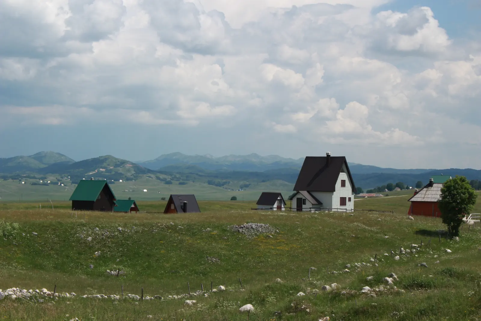
According to tradition, the town with a miner's surname got its name from the abbreviation of my coin - Mojkovac. It is located at 850 m above sea level, at the foot of the Bjelasica and Sinjajevina mountains, and next to a double ecological pearl: the "Biogradska gora" National Park with the mountain Biograd Lake.
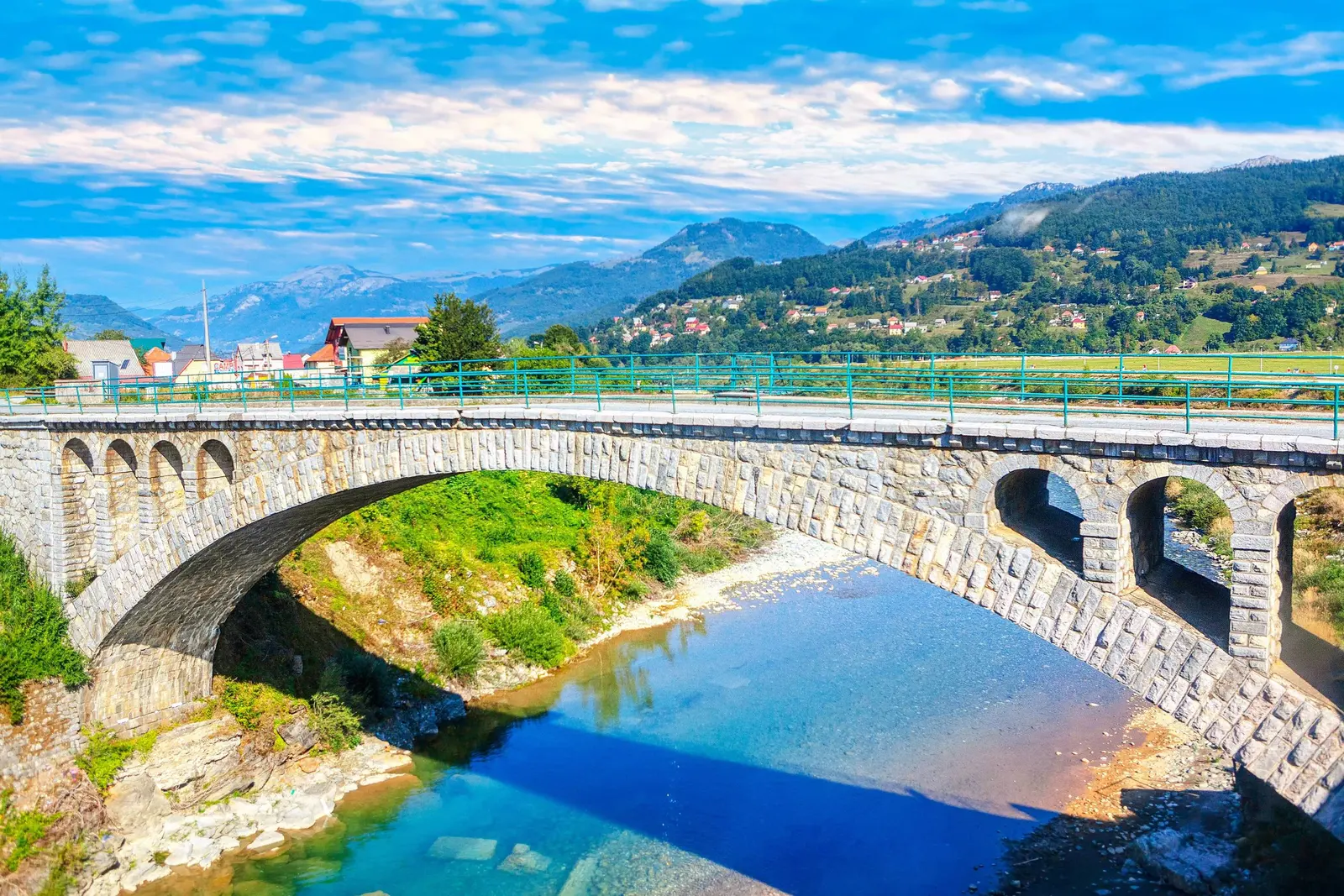
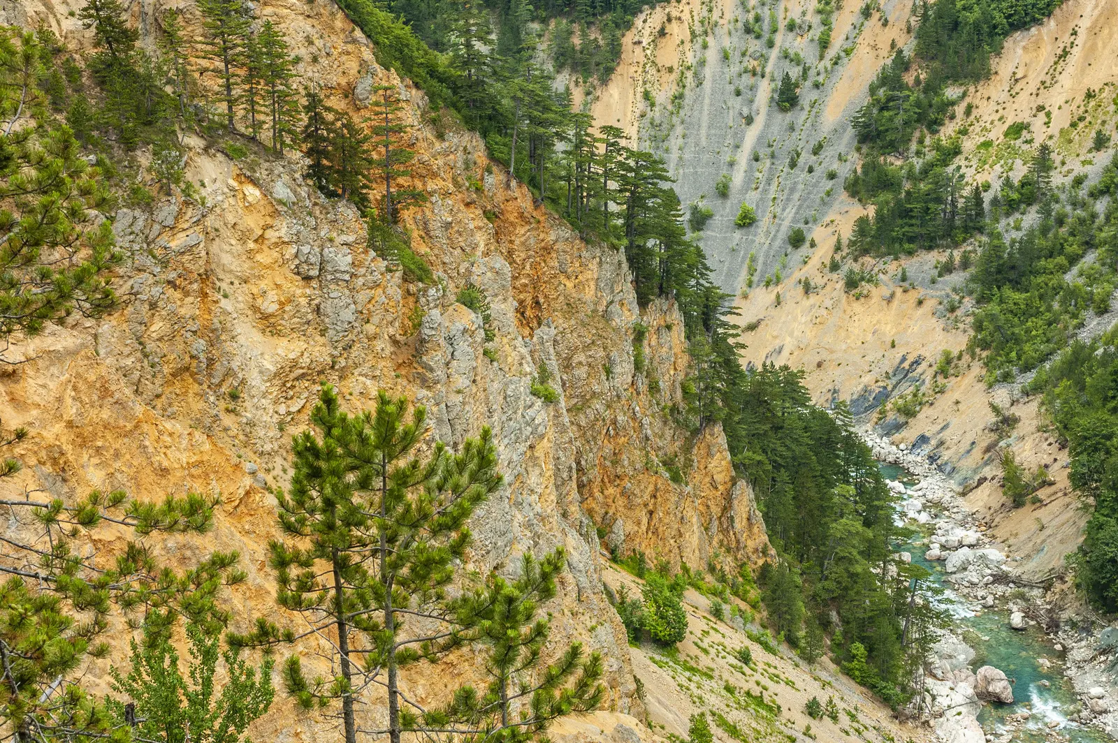
Mojkovac is located in the north-east of Montenegro, in the valley of the ecologically clean Tara River, between Kolašin (see Montenegro) and Bijelo Polje (see it). It is 25 km from Kolašin, 90 km from Podgorica, and 380 km from Belgrade. The Belgrade-Bar railway passes through Mojkovac, so you can visit the city this way as well.
The history of Mojkovac goes back to the distant past. Known for its mineral wealth, it already became a mining and trading center in the Middle Ages, during the reign of the Serbian king Uroš (13th century). Even then, silver coins were minted here, and where there is money and natural resources - in those days, caravans from the coast (Kotor, Montenegro), even the diplomatic station of the Republic of Dubrovnik, were indispensable.
Today, Mojkovac is the center of the municipality of the same name, whose territory was not all part of Montenegro at once. The left bank of Tara became part of Montenegro after the Berlin Congress (1878), and the right bank was under the Turks until 1912, during the First Balkan War.
In the First World War, the famous Battle of Mojkovac (1916) was fought here, fought with the aim of freeing the corridor for the Serbian army, and its saving passage through Albania to Corfu in Greece. The commander-in-chief, serdar Janko Vukotić, managed to oppose the much more powerful and well-equipped Austro-Hungarian army. A worthy bronze figure was erected in his honor in the city center.
Unfortunately, the people of Mojkov also suffered in the Second World War. Numerous memorials testify that they fell for freedom - they did not fall into oblivion.
Mojkovac has a primary and secondary school, a cultural center, a library, a health center, a stadium and a sports hall - everything that is needed for the life of a small town. The industry is mostly wood, then metal processing, and textile, with leather processing. The local population that is not employed in industry is engaged in agriculture and animal husbandry.
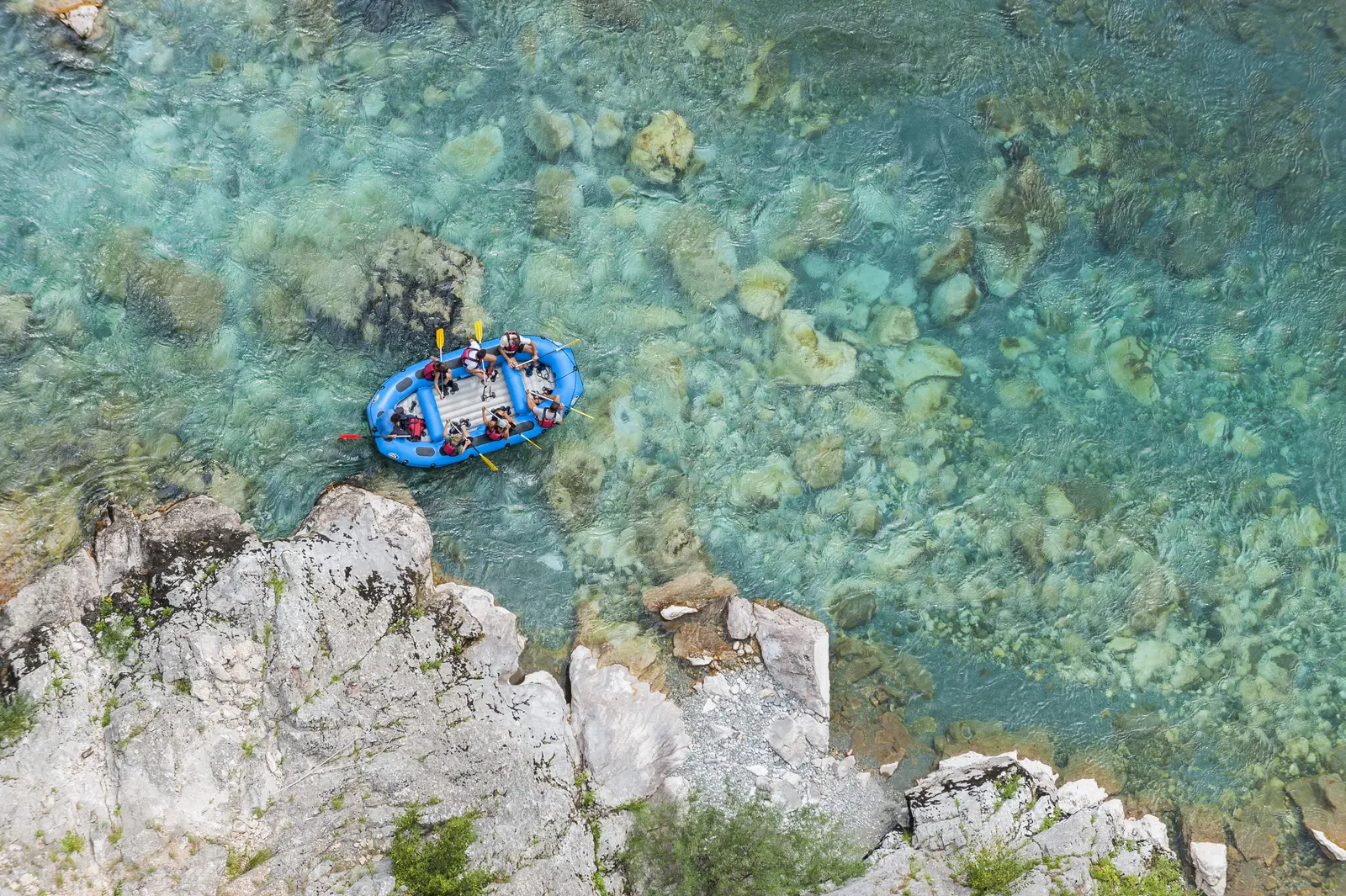
It is from Mojkovac that tourists are looking for an unforgettable, absolutely ecological adventure - they set off on rafts down the rapids and calmer streams of the drinkable (!) Tara River! Rafting Tara in Mojkovac attracts more and more guests, so more and more hotels are being built here.
The mountaineers of the "Brskovo" society built the Mountaineer's Home on Bjelasica. Seen from the perspective of the passable network of roads, Bjelasica is located in the center of the local circular highway: Mojkovac-Kolašin-Andrijevica-Berane-Bijelo Polje (see all). However, the Biogradska gora National Park (proclaimed a protected nature zone in 1952) is the closest to Mojkovac! The park is surrounded by mountains whose peaks cross 2,000 meters. Here live about 150 species of birds, 10 species of trout, and about a hundred species of trees, many of which are over 500 years old. Biogradska gora is an area of untouched nature with even 9, particularly beautiful, high-altitude lakes (Ski center, access from Kolašin), the most frequent are seasonal tourist activities.
Lately, the summer harvesting of forest fruits is becoming more and more interesting.
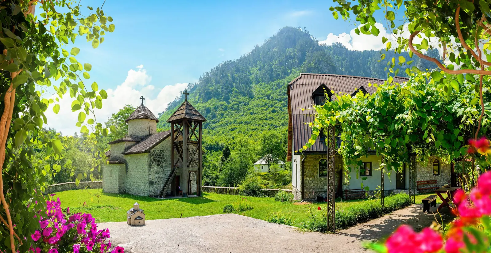
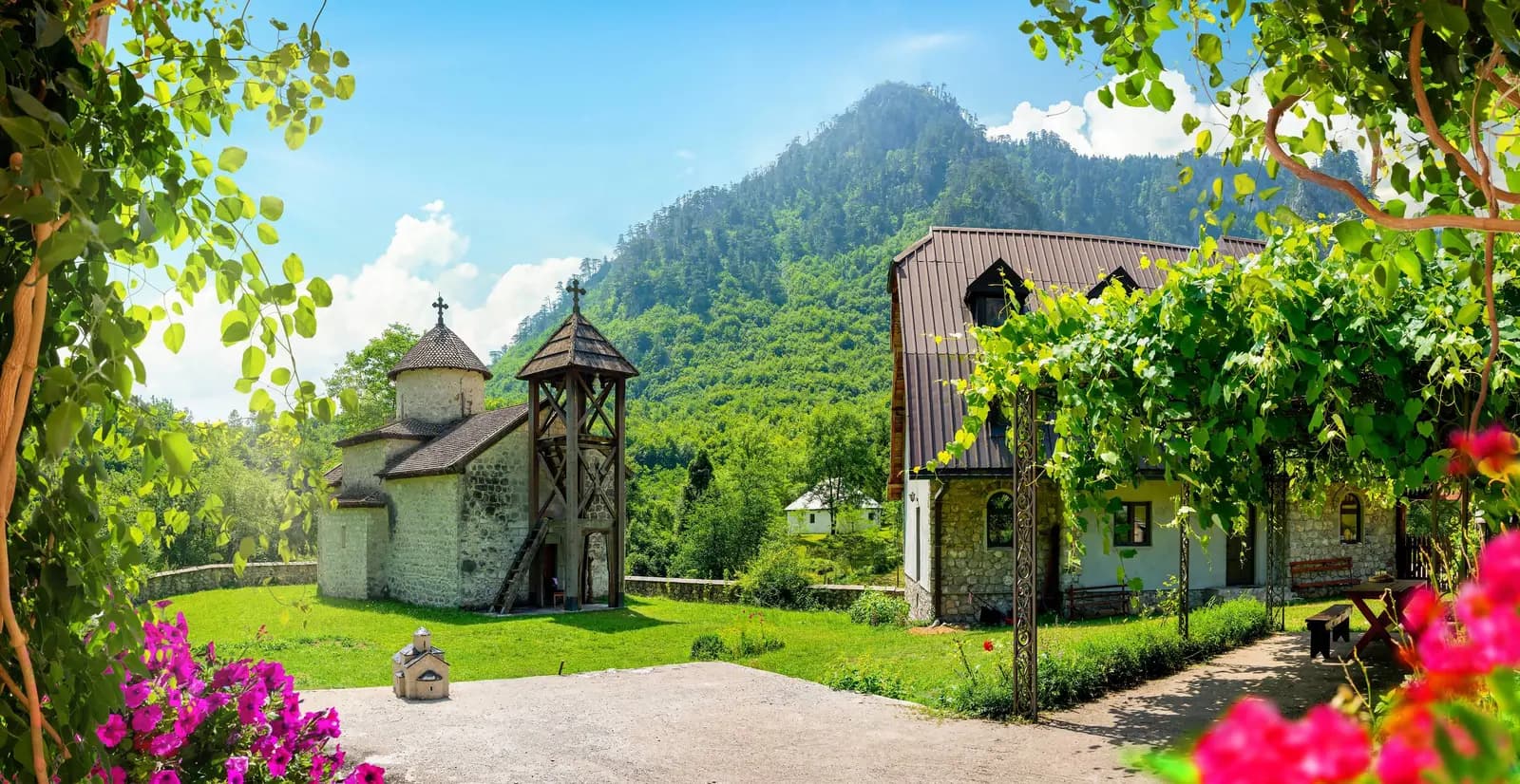
The most significant cultural and historical monument in the area of Mojkovac is the monastery of St. Đorđe in Dobrilovina (25 km northwest, towards Đurđevića Tara and Žabljak, see it, i.e. towards the "Durmitor" National Park, see it). The monastery is from the 16th century.
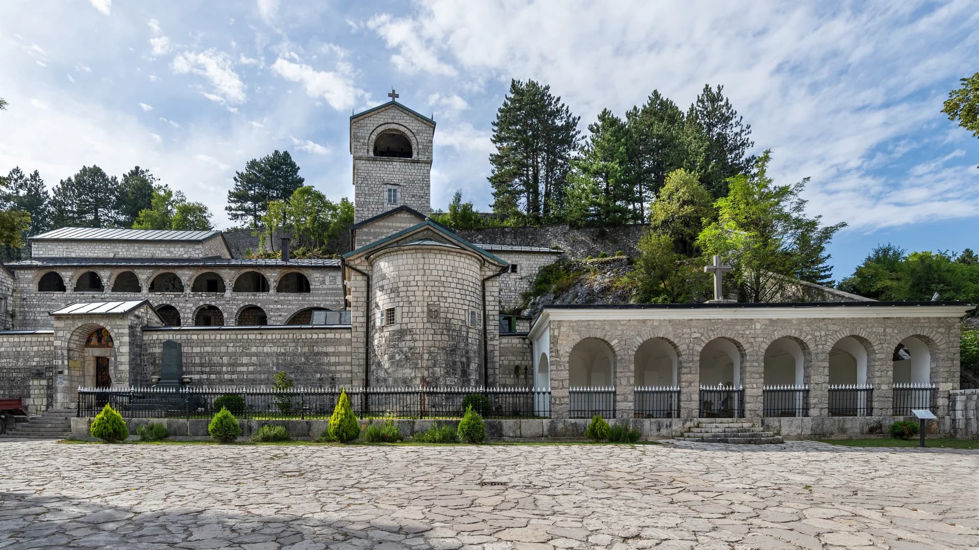
You should also visit the church of St. Archangel Michael in Štitarica (first third of the way towards Kolašin, on the right), St. Petke-Ružice on Sinjajevina, the Church of the Annunciation in Polji (on the way out of town), the church in Prošćenje from the 12th century. The Church of the Nativity of Christ was consecrated in Mojskavac on Christmas 2008.
To be fair, it should be said that in a city with idyllic prerequisites for the development of winter tourism, there is a big ecological black spot. It is a wasteland located between the right bank of the Tara, the cleanest river in Europe (!), and the western urban side of the city. The tailings pond is fortunately fenced off from the river, but it contains over 2 million cubic meters of deposited heavy metals lead and zinc, and waste water that is visible today as a surface lake. The "Brskovo" lead and zinc mine operated from 1976 to 1991. The government and the NGO sector (Montenegro) are working on the rehabilitation of the tailings.
We may earn a commission from partner links. This helps us keep Montenegro.com free for travelers.
Written by
Pavle Obradović
Pavle Obradović is from Herceg Novi. He was Manager of Montenegro.com, then Director of the Herceg Novi Tourism Organization, and is now Coordinator for Investment and Development Projects at the Municipality of Herceg Novi. He holds a BSc in International Hospitality and Service Management from the Rochester Institute of Technology (RIT).