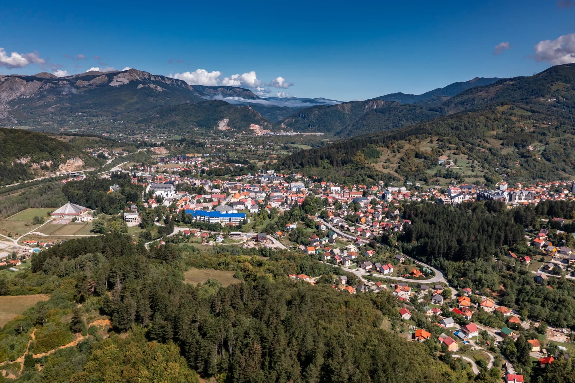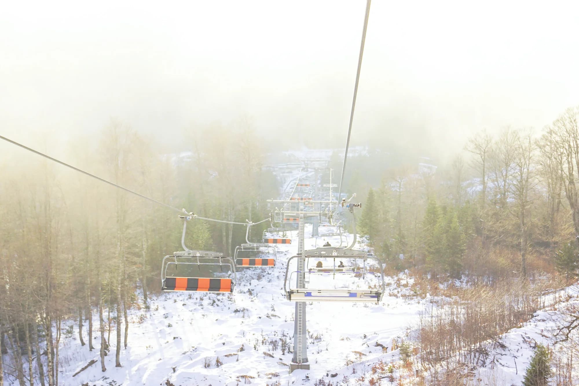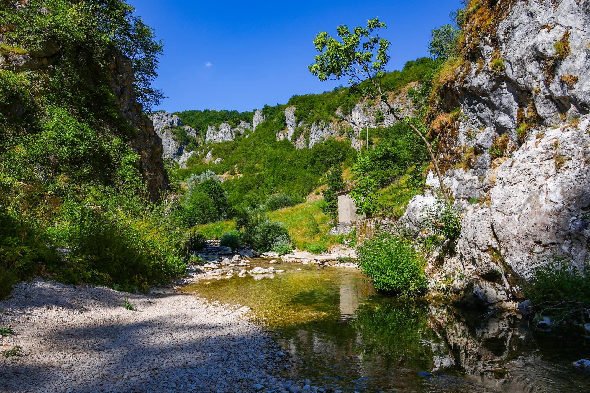
Three rivers meet in the smallest municipal seat in Montenegro — 360 people, 553 square kilometres of mountain behind them, and Nevidio, first entered in 1965 and still enterable only with a guide, a few kilometres out of town.
Šavnik je jedna od najmanjih i najmanje posjećenih opština u Crnoj Gori, koja nudi istinski planinski doživljaj daleko od utabanih staza. Grad je smješten usred krševitog terena blizu spektakularnog kanjona Komarnice, čiji se okomiti zidovi mogu mjeriti sa onima poznatije Tarine klisure. Istorijski manastir Piva, premješten kamen po kamen prije nego što je nastala Pivska akumulacija, nalazi se nadohvat ruke. Za putnike koji traže samoću i sirovu prirodnu ljepotu daleko od turističkih ruta, Šavnik pruža autentičan pogled na planinsku Crnu Goru.
Who is left in the north
Municipality population change, 2003 to 2023
Šavnik has lost nearly half its people in twenty years, and only Plužine emptied faster. Šavnik is the far end of a northern problem, not a Šavnik one.
The country’s smallest municipalities
Residents by municipality, 2023 census
The valley had a monastery six centuries before it had a town. Widths are to scale.
A day in a town of 360
From late spring to early autumn the canyon sets the clock
Pretražite hiljade hotela i apartmana sa aktuelnim cijenama.
Možemo zaraditi proviziju putem partnerskih linkova. To nam pomaže da zadržimo Montenegro.com besplatnim za putnike.
Pretražite hotele, apartmane i pansione sa trenutnom dostupnošću.
Možemo zaraditi proviziju putem partnerskih linkova. To nam pomaže da zadržimo Montenegro.com besplatnim za putnike.
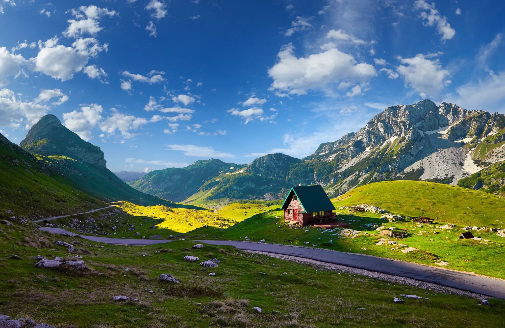
The only municipality in Montenegro with fewer than two thousand residents: a 553 km² administration for 2.8 people to the square kilometre.
Podmalinsko about 1252 (Stefan Uroš I Nemanjić); Sanjak of Herzegovina from 1470; Drobnjak to Montenegro in 1878 after the Congress of Berlin; town founded 1861; nature park proclaimed 2017.
Šavnik je u sjevernom dijelu središnje Crne Gore na oko 880 m, ondje gdje se Bijela, Bukovica i Komarnica sastaju s južne strane Durmitora. Od Podgorice je oko dva sata, a od Žabljaka sat.
To je opština s najmanje stanovnika u Crnoj Gori — manje od 2.000 na cijeloj teritoriji i tek nekoliko stotina u samom mjestu. Škola, prodavnica ili dvije i hotel, i tu je gotovo sve.
Klisura na Komarnici, toliko uska da je prvi put prođena tek 1965 — posljednji istraženi kanjon u Evropi. Prolazi se isključivo kao vođena kanjoning tura, i zbog nje većina posjetilaca i dolazi u Šavnik.
Otprilike od jula do septembra, kad rijeka dovoljno opadne da bude bezbjedno. Ture idu samo s licenciranim vodičima, traju četiri do pet sati i uključuju plivanje, skokove i spuštanje užetom u hladnoj vodi; neopren se dobija i neophodan je.
Južni prilazi Durmitoru počinju ovdje i mnogo su mirniji od onih iz Žabljaka. Na tri rijeke se lovi pastrmka, a put na sjever kroz dolinu Komarnice jedna je od najpraznijih lijepih vožnji u državi.
Samo ako idete u Nevidio ili pješačite južnim Durmitorom. Ležajeva je malo i jednostavni su; većina onih koji idu u kanjon dolazi na dan iz Žabljaka ili Nikšića i vraća se iste večeri.
Ne — najbliži je aerodrom Podgorica (TGD), 106 km putem.
26,6 km putem, oko 33 min vožnje.
Britansko Ministarstvo inostranih poslova (FCDO) nema upozorenje protiv putovanja u Crnu Goru; svoje smjernice je posljednji put revidiralo 13. avgusta 2026. To je njihova procjena države u cjelini, ne naša i ne ocjena o ovom gradu, pa je pročitajte sami prije puta. Broj za hitne slučajeve u Crnoj Gori je 112.
Šavnik u brojkama
the first three buildings were a tavern with a shop, a rifle repair shop and a blacksmith’s forge
the confluence of the Bukovica, Bijela and Šavnik
2023 census — the least populous municipal seat in Montenegro
Nevidio: about 150 m deep, under a metre wide in places
the Šavnik, from the Glava Šavnika spring to the confluence
Dragišnica and Komarnica Nature Park, proclaimed November 2017
MONSTAT 2023 census, settlement table · Šavnik municipality · Dragišnica and Komarnica Nature Park
Najbliža mjesta mjestu Šavnik, na svojim stvarnim položajima — Mojkovac je udaljeno oko 40 km vazdušnom linijom.
Šematski prikaz. Položaji i udaljenosti mjereni su vazdušnom linijom, prema koordinatama koje imamo za svako mjesto; zbog planinskih puteva vožnja je duža. Podebljana linija označava obalu na dijelu koji prolazi kroz ovaj prikaz. Obala i Skadarsko jezero © OpenStreetMap contributors.
Nekoliko sati
Šavnik is a river junction with a town in it — an hour is an honest visit.
Cio dan
A day here means Nevidio; the rest of it fits around a drying wetsuit.
Vikend
A weekend turns Šavnik from a stop into a base.
Šavnik town
Najbolje za the seat itself: all three rivers within a five-minute walk of the centre
Pošćenje
Najbolje za a village of 54 people with a stećci necropolis on its ground
The Bukovica valley
Najbolje za farm country upstream toward Malinsko and Podmalinsko: brook-trout water, no traffic
Ko posjećuje Crnu Goru
Udio noćenja stranih gostiju, 2025.
MONSTAT · 2025
Popis stanovništva, opština Šavnik
The municipality has lost almost half its people since 2003, 2,947 down to 1,569, and fewer than one in four of those left live in the seat: 360 in Šavnik, the rest across twenty-six other inhabited settlements and 553 square kilometres. That is 2.8 residents to the square kilometre.
For two years Šavnik turned up in international democracy reporting rather than travel writing: it could not finish a local election.
Freedom House, Nations in Transit reports that local elections in Šavnik could not be conducted in 2023 despite nine rounds of attempts since October 2022, and that 337 people moved their residence to the municipality in the five months before the vote, against about 1,900 registered voters.
BTI Country Report finds the old management structure still governing well beyond its constitutional four-year term, in office for more than six years as of early 2025, with the electoral process formally open since October 2022.
Two dated assessments by named international publications, quoted for their Šavnik passages only.
U međuvremenu — 1965
Nevidio, August 1965: mountaineers of the "Javorak" society of Nikšić make the first passage of the canyon, on the Komarnica where the Grabovica comes in.
The name — locals called it Neviđbog, the canyon that stayed unseen. Two kilometres long, on average about 150 metres deep, under a metre wide in places; you enter at 935 m and come out at 810 m.
Elsewhere that year: on 18 March, five months before the first descent, Alexei Leonov left Voskhod 2 for the first spacewalk.
Since 2017 — the canyon has been inside the Dragišnica and Komarnica Nature Park, and it may only be entered with a guide. The passage takes three to four hours.
“Njegoš ordered it, Novica Cerović of Tušina carried it out, and a village in this municipality gave the killing its address.”
The death of Smail-aga Čengić, 1840
English Wikipedia on Smail-aga Čengić and on the Drobnjaci: Čengić was killed at Mljetičak, in Šavnik municipality, on 23 September 1840, and Ivan Mažuranić published his epic on it in 1846.
“Before anyone had been inside, the gorge was Neviđbog — the canyon that stayed unseen.”
Lokalna legenda
The name of Nevidio
junNevidio opens — operators run the canyon from late spring to early autumn, depending on water levels; a licensed guide is compulsory
sepThe canyon season closes — early autumn ends the descents, and the town goes back to its 360 residents
Lokalni tanjir
The Bukovica rises at 1,350 metres and runs down to the confluence at Šavnik as brook-trout water. Eat the trout with kačamak — cornmeal beaten with crushed potato and cheese, the way it is made in Montenegro.
Gdje Village households along the Bukovica, and the few places in town
Najbolje vrijeme: jul · avgust · septembar
| Mjesto | Putem | Vožnja |
|---|---|---|
| Žabljak | 26,6 km | oko 33 min |
| Djurdjevića Tara | 45,3 km | oko 57 min |
| Nikšić | 47,4 km | oko 1 h 10 min |
| Plužine | 52 km | oko 1 h 18 min |
| Podgorica | 98 km | oko 2 h 9 min |
| Kotor | 126,6 km | oko 2 h 43 min |
| Budva | 133 km | oko 2 h 49 min |
Udaljenosti putem izračunate na osnovu OpenStreetMap podataka, © OpenStreetMap contributors. Vremena vožnje su bez gužve i ne računaju ljetnji saobraćaj ni čekanje na trajektnoj rampi.