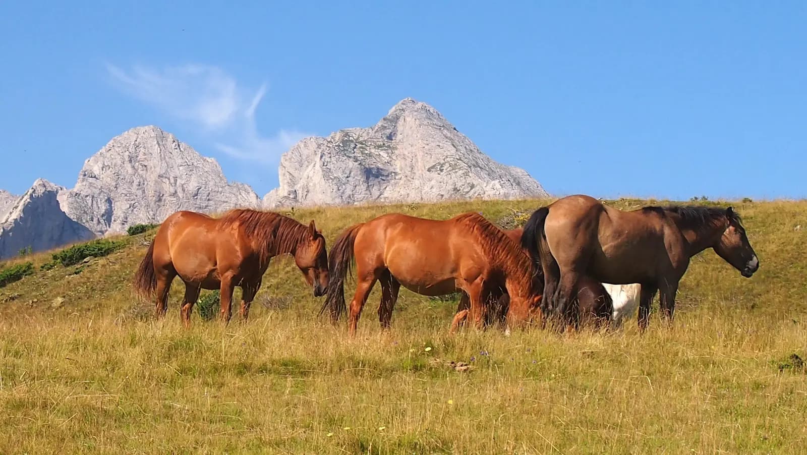
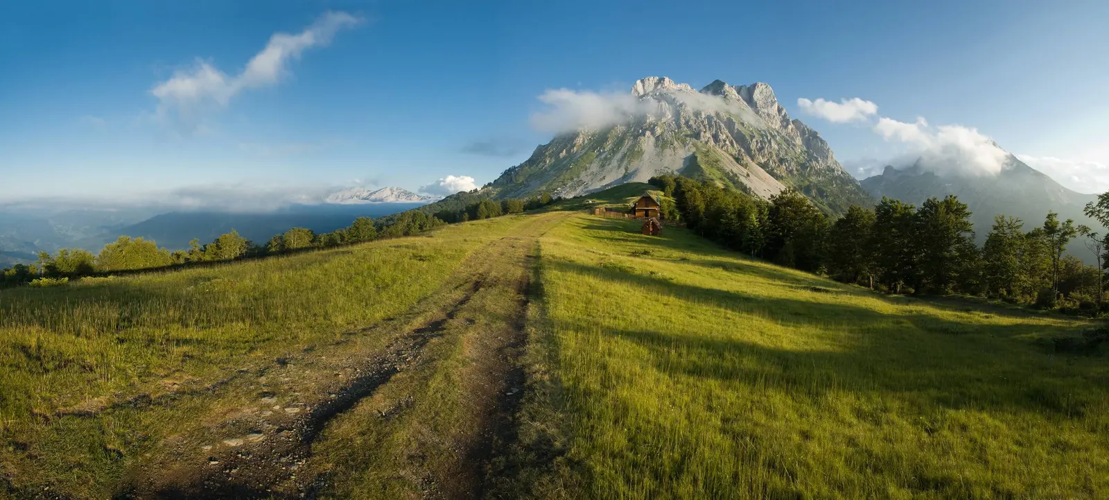
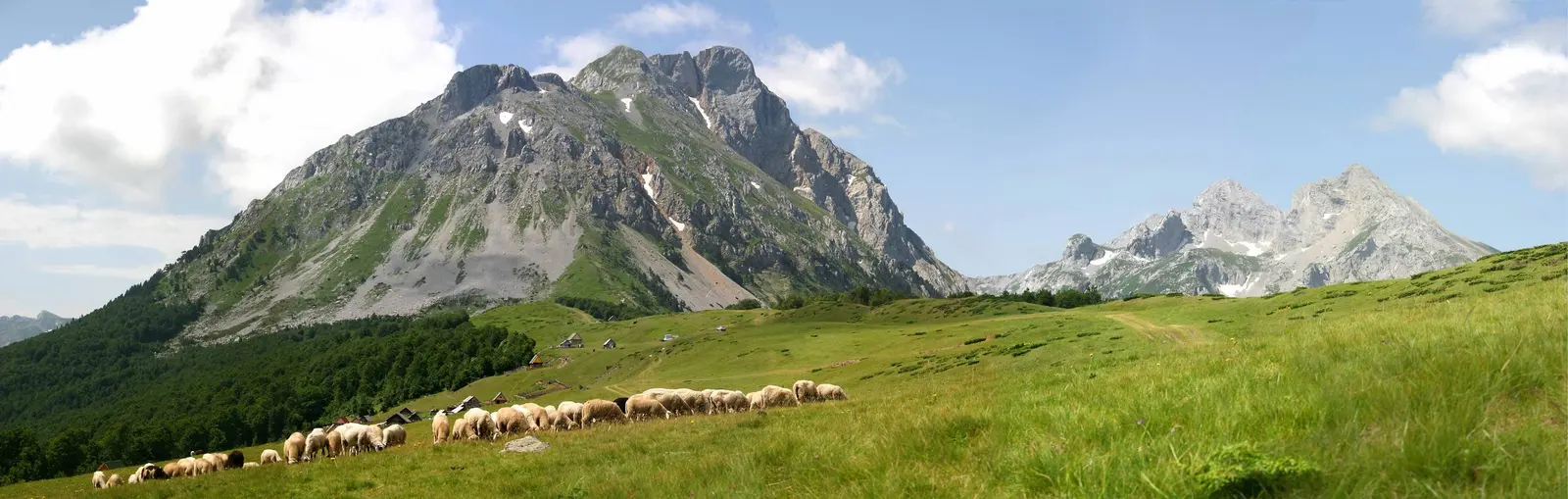
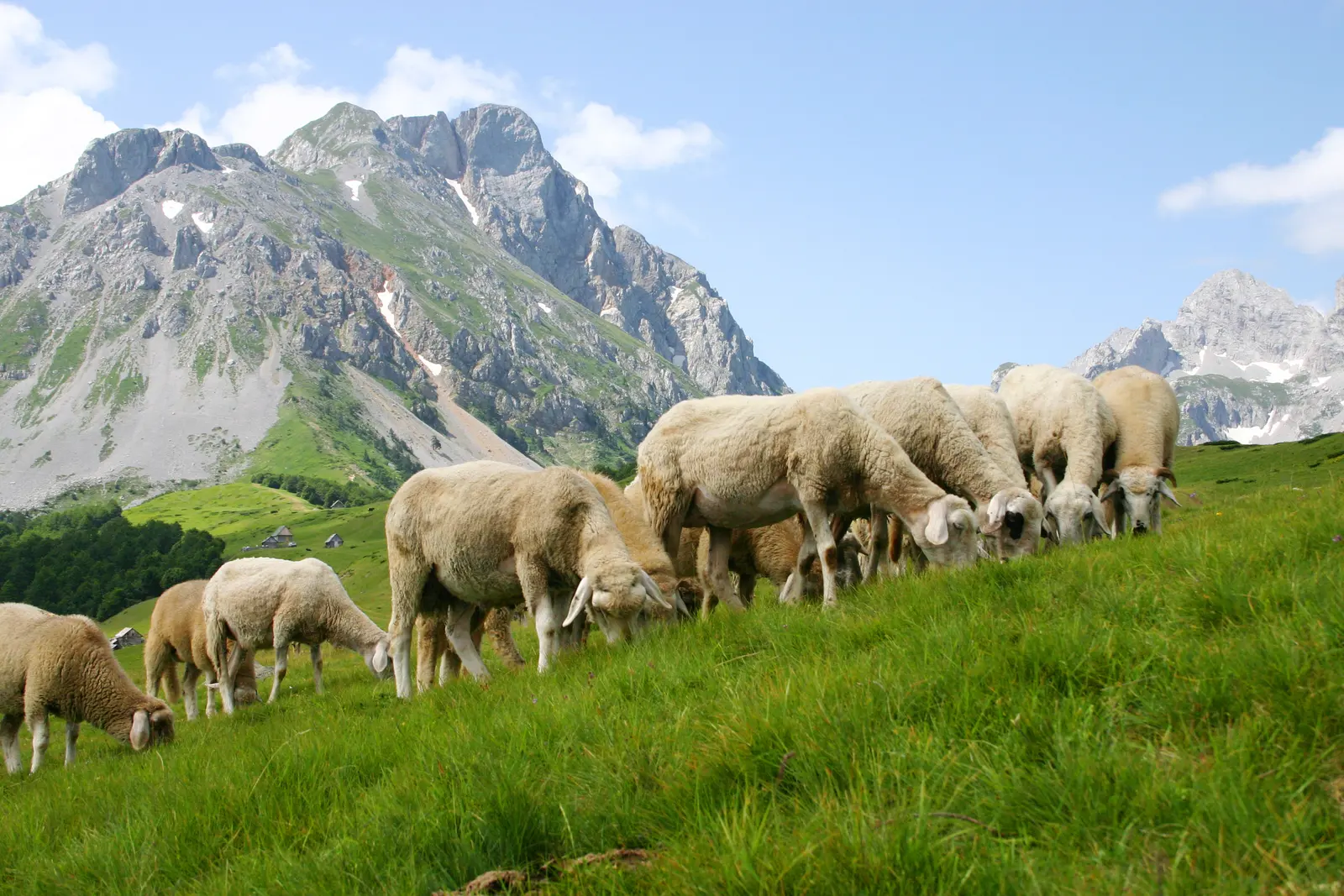
On a clear morning the Komovi are visible from the edge of Podgorica, some ninety kilometres away: two grey horns of rock standing well clear of the green ridges around them. Up close they are stranger still. Sheer towers of limestone and dolomite rise straight out of high pasture, and sheep graze to within a few hundred metres of the rock. This is the eastern edge of the Montenegrin highlands, and even in August it stays quiet.
Three peaks, one massif
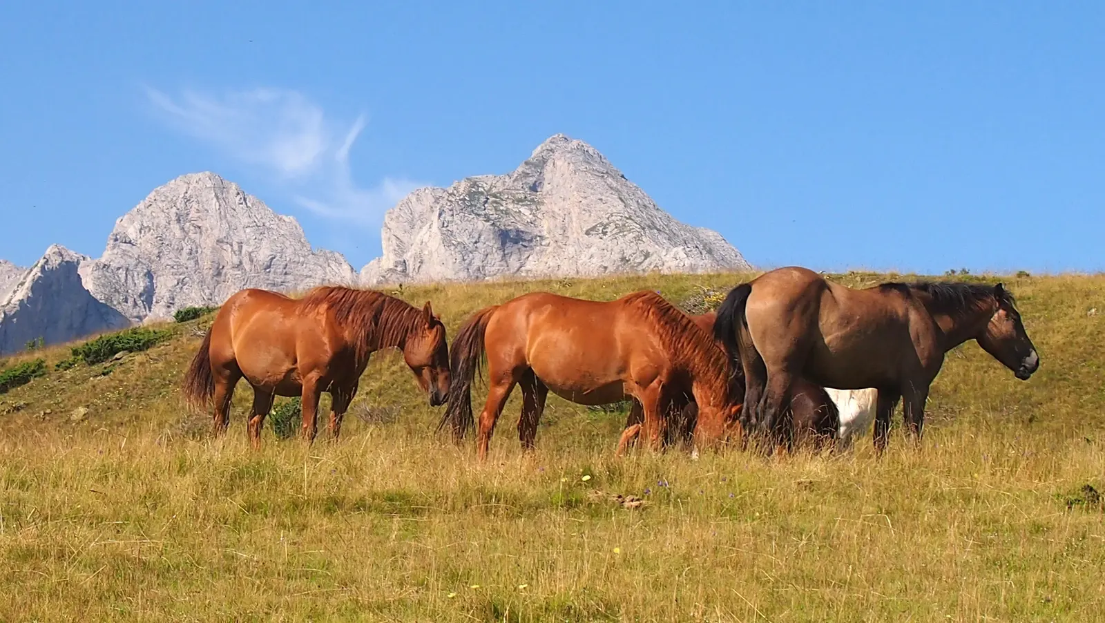
The massif sits between Andrijevica, Kolašin and the Kuči highlands above Podgorica, and it is usually described by its two most prominent summits: Kom Kučki, at 2,487 metres the highest point of the group, and Kom Vasojevićki at 2,461 metres. The names come from the tribal territories that meet here. A third summit, Kom Ljevorečki at 2,469 metres, completes the trio and sees a fraction of the traffic.
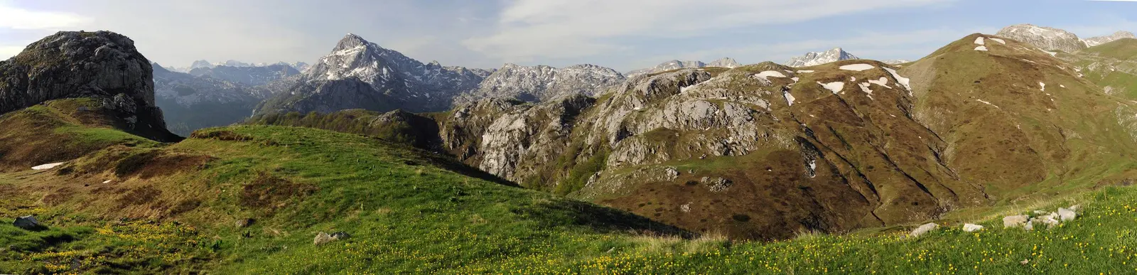
What gives the Komovi their shape is ice. Glaciers hollowed out the amphitheatres below the summits during the last glaciation and left the harder cores standing as steep-sided horns, ringed by scree and grass. The result looks less like the rounded Bjelasica ridges to the north-west and more like a fragment of the Alps dropped into the Balkans. The Komovi are not a national park, which is part of the reason they feel empty: Biogradska Gora lies over the ridge to the north-west, Prokletije to the east, and most walkers head for those.
Katuns and the summer above the treeline
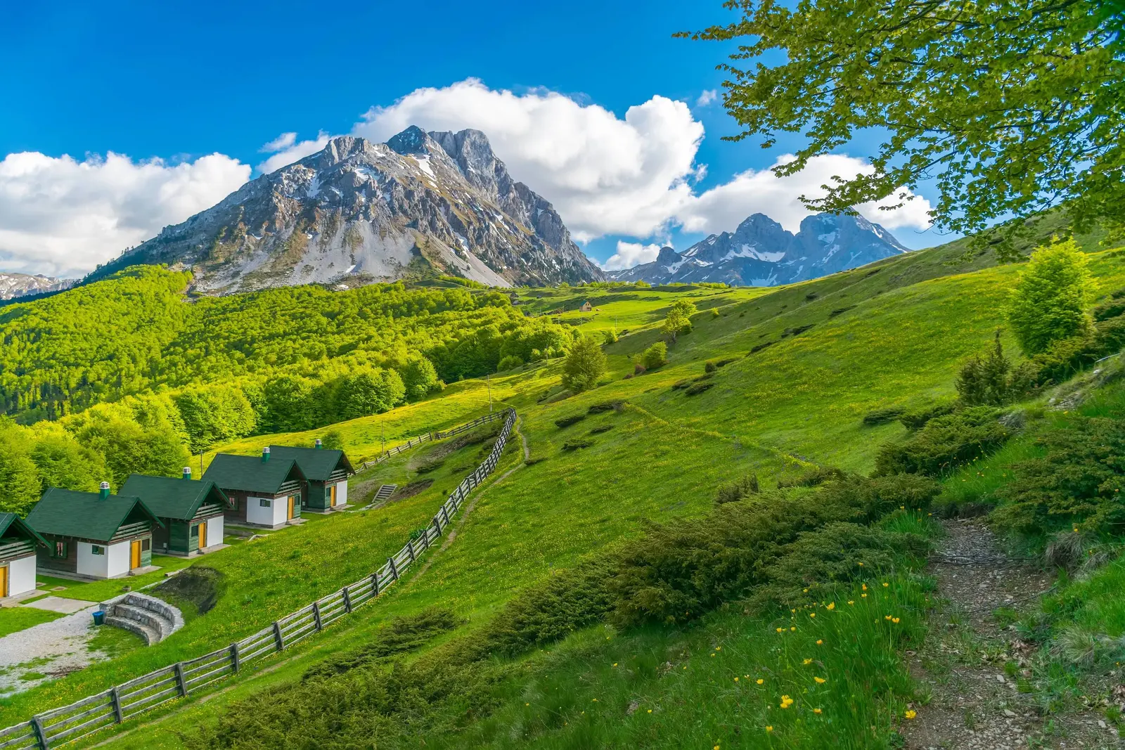
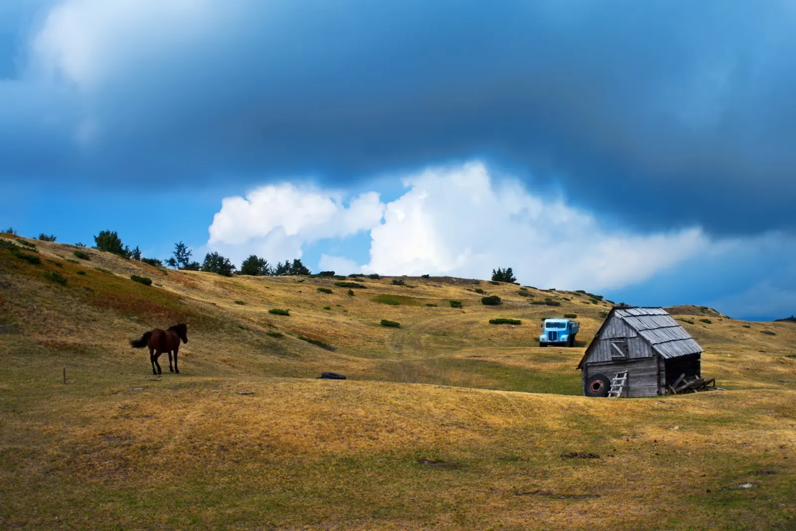
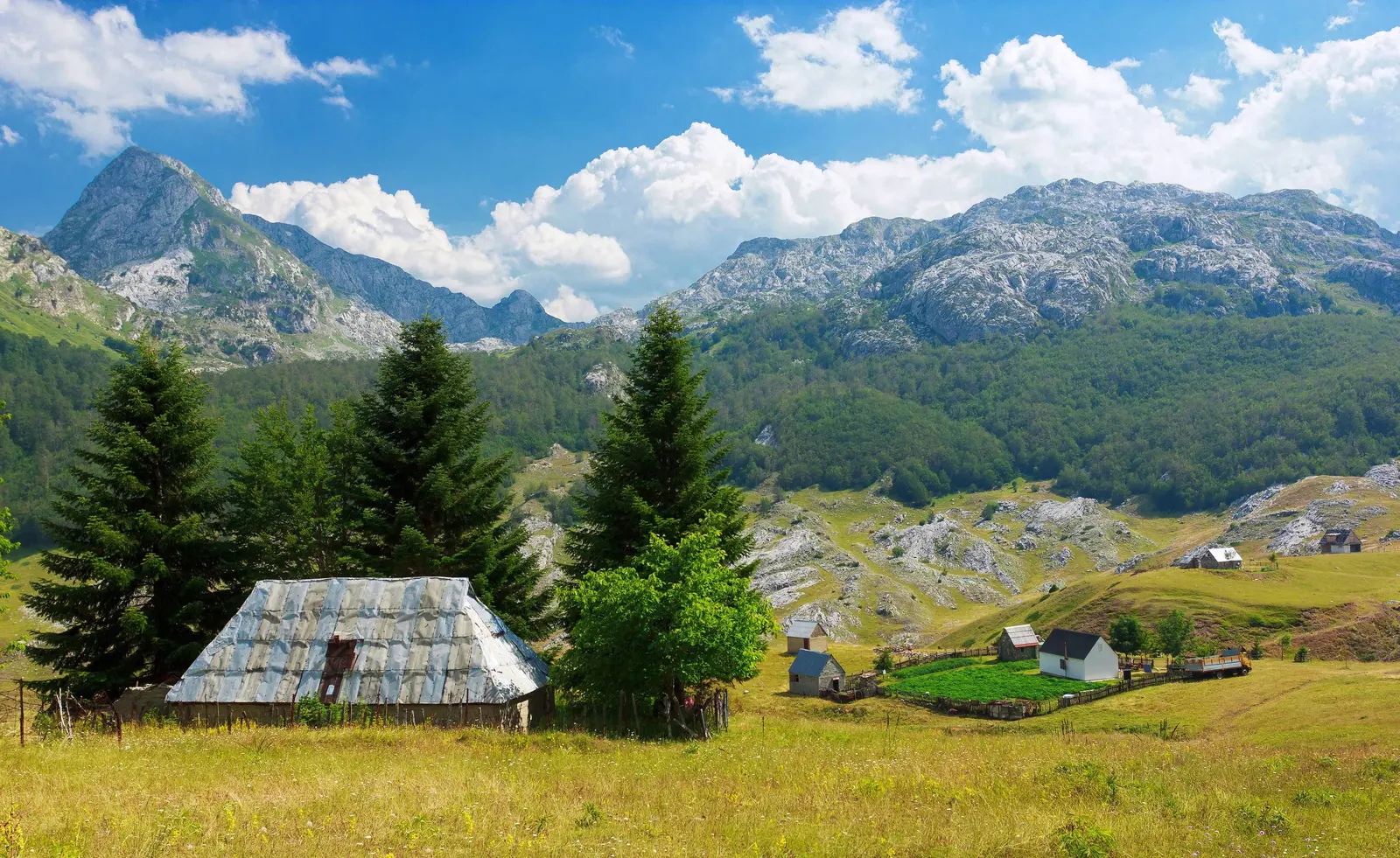
The pastures under the peaks are still worked. A katun is a seasonal settlement, occupied only while the grass lasts, and families from the valleys around Andrijevica and Kolašin have been driving flocks up here for centuries. The dwellings are low huts of stone, timber and shingle, and locals call them stanovi rather than houses. Štavna, a broad saddle directly beneath the two main Koms, is the best known cluster and the usual base for anyone walking in the range.
Life at a katun runs on milk. Sheep and cows are milked twice a day, and the output becomes cheese, kajmak and the thick sour milk that appears at every table. If you are offered a plate, take it, and buy something on your way out; the seasonal economy up here is thin and the hospitality is genuine rather than transactional. Below the pasture the slopes are heavily wooded with beech and conifer, which is why the treeline reads so sharply from a distance.
Walking the Komovi
Kom Vasojevićki is the standard ascent and the one most visitors do: a marked path from Štavna, roughly two to three hours up over grass and then scree, with a short exposed section near the top where you will use your hands. It is not technical, but it is genuinely steep and unpleasant in wet weather. Kom Kučki is a harder proposition, with more scrambling and more exposure, and is better attempted with someone who knows the line. Kom Ljevorečki is rarely climbed at all.
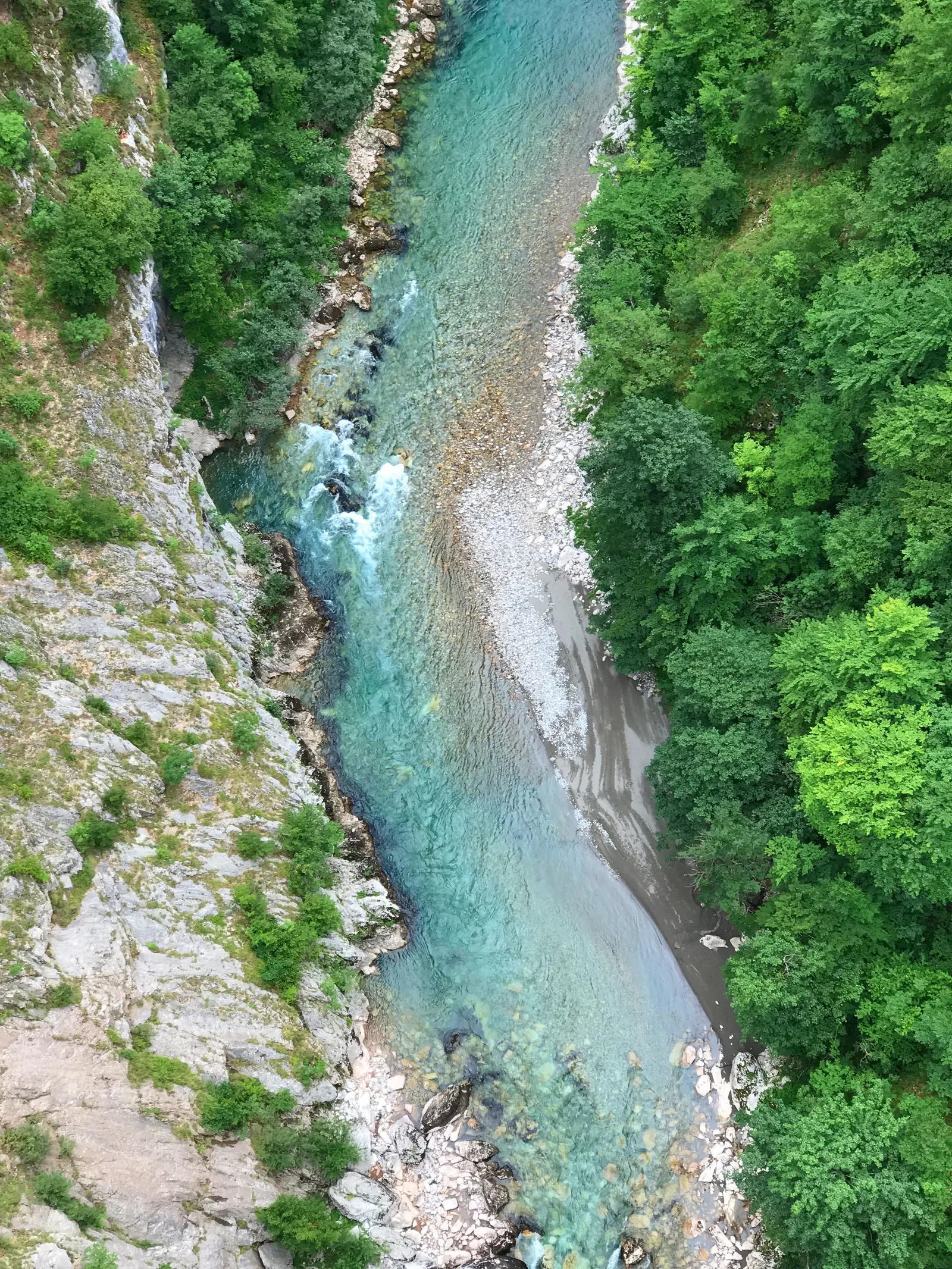
From either summit the view runs across a large part of the country. Bjelasica and the Biogradska forests sit to the north-west, the grey wall of Durmitor further off, the Prokletije peaks and the Albanian border ranges to the east, and on the clearest days you can pick out the ground falling away towards the Tara canyon. Even without going high, the walk between katuns along the base of the peaks gives you most of the scenery for a fraction of the effort.
Getting there
There are two ways in. The northern approach is the practical one: from Andrijevica the road climbs to the Trešnjevik pass at about 1,590 metres, and a side track runs from there to Štavna, roughly fifteen kilometres from town in total. Trešnjevik is also reachable from the Kolašin side, which makes the range an easy detour off the Podgorica-Bijelo Polje corridor. The southern approach, up through the Kuči villages from Podgorica towards Ubli, is longer and rougher, and better suited to a vehicle with clearance.
A normal car copes with the Andrijevica route in summer, though the last kilometres are unsurfaced and slow. There is no scheduled transport to the katuns, so plan on driving, arranging a lift from Andrijevica, or walking in, and bring cash.
When to go
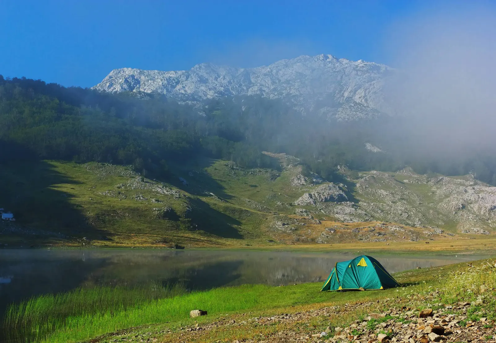
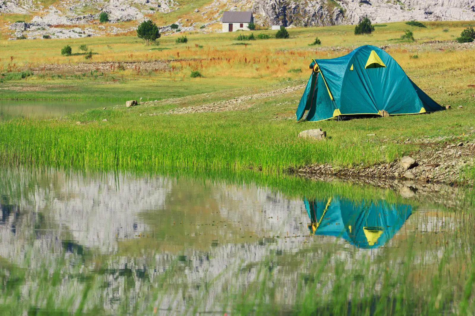
The season is short. Snow lingers in the hollows into June, and the katuns are typically occupied from late June until the second half of September. Early summer gives you wildflowers and full pastures; September gives you clear air, cold nights and the quiet of a range that has emptied out. Nights are cold whatever the month, and at 1,800 metres an August dawn can sit close to freezing, so carry proper layers even for a day trip.
Thunderstorms build quickly over the peaks in the afternoon, which is the usual argument for starting early and being off the summit ridge by mid-afternoon. Water is available at the katun springs but there are no shops, so carry what you need for the day. In winter the Komovi belong to ski tourers and to nobody else.
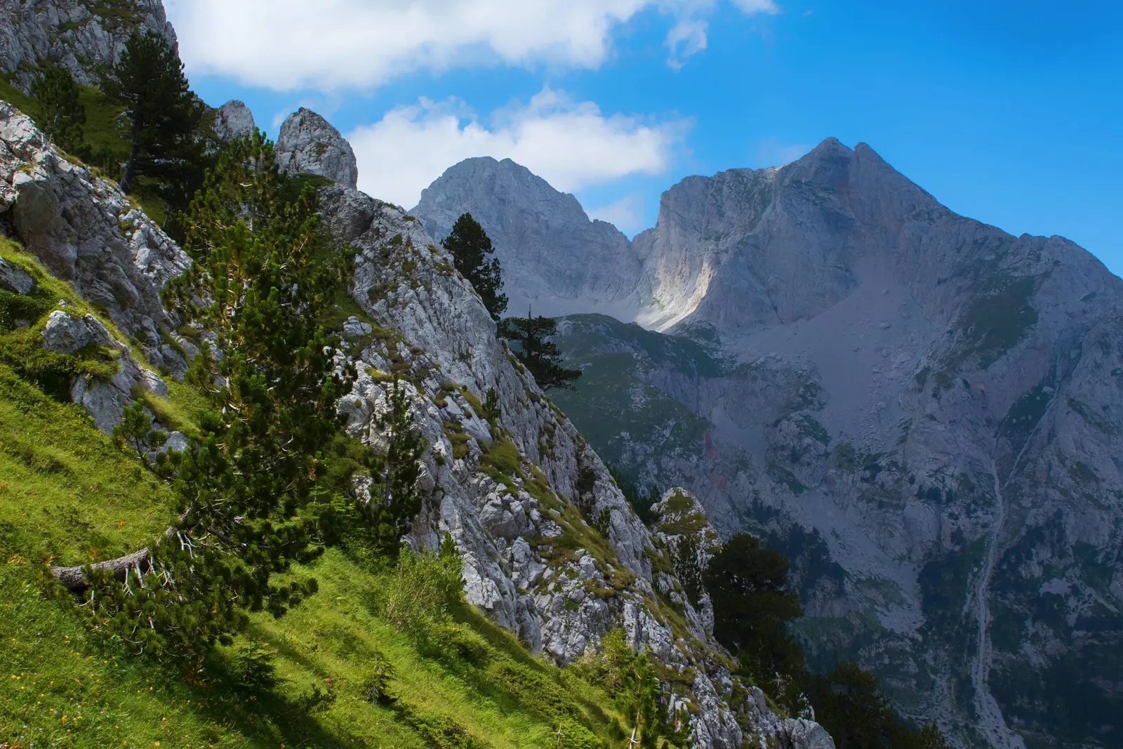
These photographs come from a hiking trip in the Komovi, and we are grateful to Đorđe for sharing them. If you have pictures of the Montenegrin mountains you would like to see published here, send them to us.
Gordan Stojović, Montenegro.com