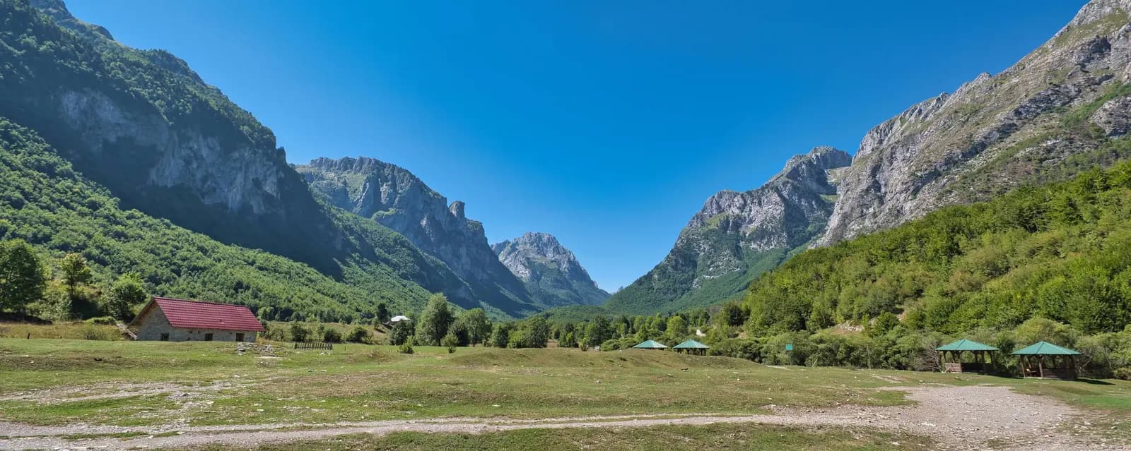
Plav is best understood as a corridor, not a lake detached from its town. Water arrives through the Ljuča, spreads into Lake Plav, leaves as the Lim and then leads north through Brezojevica toward Murino. Along that short regional sequence, a visitor moves between wetland, working town, fortified domestic architecture, an Orthodox monastic site and a place of civilian remembrance.
This guide focuses on that relationship. It does not duplicate the longer mountain itinerary in our complete Plav guide or the water-and-springs route in the Lake Plav and Ali Pasha Springs guide. Instead, it builds a careful half-day or full-day journey from the lake edge to Murino, corrects inherited measurements and dates, and explains which details still need a live local check.
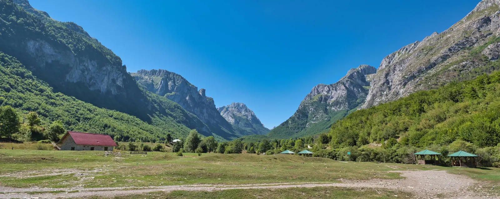
The route at a glance
| Stop | Why stop | Evidence to notice | Check before relying on it |
|---|---|---|---|
| Lake Plav | Read the Ljuča–lake–Lim water system | Reeds, inflow and outflow direction, inhabited shore | Access, wind, water activity and any local notice |
| Plav centre | See a living town rather than a scenic backdrop | Street pattern, religious buildings, stone-and-timber towers | Parking and opening hours |
| Redžepagić Tower | Understand fortified domestic architecture | Thick masonry, small openings, timber upper level | Whether the interior is open |
| Brezojevica | Visit Holy Trinity Monastery respectfully | Single-nave church, surviving painted fragments, wider Lim setting | Service, access and photography rules |
| Murino | Complete the corridor and acknowledge civilian memory | Settlement on the upper Lim route and memorial context | Road conditions and local ceremonies |
The local tourism authority identifies fourteen settlements in Plav municipality and describes Plav and Murino as its two principal functional centres. It also explains that the basin opens north along the Lim Valley. That is the useful mental map: Murino is not an unrelated mountain detour, and Brezojevica is not merely scenery passed at speed.
What the old Plav article got wrong
The inherited text described the lake as 4.7 kilometres long, 1.7 kilometres wide and 5.4 square kilometres in area. Those numbers do not reconcile with the current official river-basin plan, which records Lake Plav as a natural surface-water body of about 1.99 square kilometres. The old dimensions are therefore retired rather than averaged with the official figure.
Other promises were too loose. “Air spa” was presented as an objective status without a source. Swimming, tourist boats, abundant trout and sport fishing were described as dependable visitor products, although water conditions, access, permits and operators can change. The claim that a medieval Kotor-to-Constantinople trade route passed through Plav was not supported by the evidence assembled for this update. None is needed to make the corridor interesting.
Three photographs near the end of the old page were filed under Orahovac on the Bay of Kotor. They have been removed. A coastal image cannot responsibly illustrate Brezojevica, Murino or the Lim, even when inherited captions place it beside northern text.
Lake Plav: begin by reading the water
Start at an established lakeside access and spend several minutes locating the town, open water, vegetated margins and the direction in which the Lim leaves the basin. The point is orientation rather than a checklist activity. Lake Plav is part of an inhabited and managed water system, not an isolated alpine bowl.
The official Prokletije management plan gives the lake special importance for migratory waterbirds and identifies the wet meadows between Lake Plav and Vusanje as biologically valuable. Keep that in mind near reeds and shallow margins: do not drive onto grass, launch from a fragile bank or push through nesting cover for a photograph. A calm surface also says nothing reliable about temperature, depth, underwater vegetation or swimming safety.
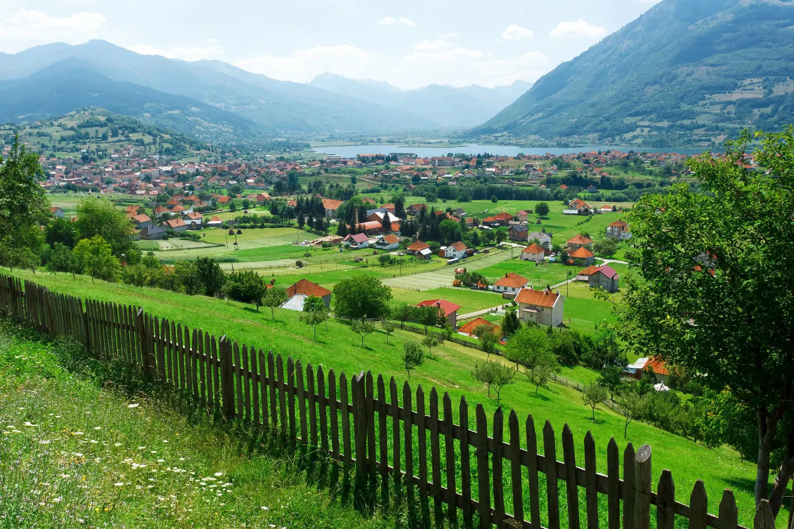
For swimming, kayaking, fishing or any commercial boat trip, ask the Tourist Organisation of Plav or a competent local operator about the exact day. Confirm where access is permitted, whether equipment is supplied, what permit applies and how wind or water level changes the plan. “People are doing it” is not the same as a safety or legal check.
Plav town: towers, streets and uncertain dates
Move next into Plav itself. The town is more informative on foot than through a windscreen. Its stone-and-timber towers, mosques, Orthodox heritage, shops and homes show a settlement shaped by defence, household life, religion and regional exchange. The Gusinje guide adds the neighbouring basin's distinct story; do not collapse the two towns into one generic “oriental” label.
Redžepagić Tower deserves precise language. The local tourism authority calls it an exceptional example of residential-defensive architecture and notes legal protection, but it also says the builder is not known with certainty. One account assigns the tower to Hasan-beg Redžepagić in 1671; another tradition takes it back to the 15th century. National tourism promotion chooses the earlier label, yet the detailed local page preserves the conflict. This guide does the same.
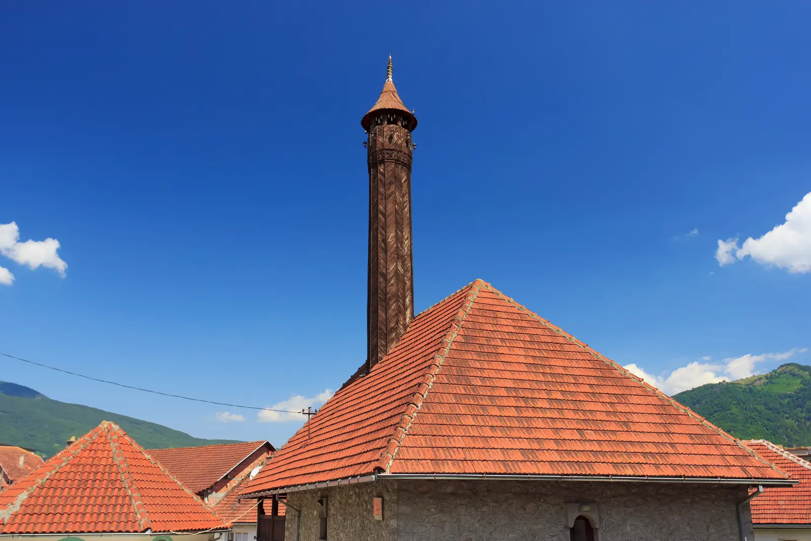
What can be read without forcing a date is the building type: thick stone walls, limited openings suited to defence and a timber upper level with covered outlooks. The tower page says it became a museum in 1979 and has held a collection of costume, handicrafts and tools since 2011. That history does not guarantee the door is open when you arrive. Confirm interior access with the tourist organisation; the exterior still rewards a respectful look from public space.
Avoid photographing into homes, blocking narrow access or treating every old-looking tower as a public museum. Plav's architectural landscape remains partly domestic. Ask before photographing residents, interiors or religious activity.
Brezojevica: separate documentation from tradition
North of Plav, Brezojevica sits beside the Lim and holds the Monastery of the Holy Trinity. It is often advertised simply as a 13th-century monument. The local tourism authority offers a more careful account: written records describe construction or renewal in 1567, while tradition places an earlier foundation before Visoki Dečani. Those are different kinds of evidence. The visible church should not be labelled wholly 13th-century merely because an older sacred origin is remembered.
The detailed description identifies a single-nave church with a semicircular apse, square naos and narthex. It also records surviving but damaged painted fragments and repeated destruction in the 20th century. Visit as an active religious site, not a film set. Dress with ordinary respect, keep voices low, do not use flash or photograph worshippers without permission, and accept that services can limit access.
Government planning adds a contemporary layer. A Plav environmental and social management plan forms part of a wider programme for flood protection, rehabilitation and irrigation in the Lim and Grnčar basin, with a specific Plav–Brezojevica reach. That does not mean the entire bank is a construction zone today. It does mean visitors should obey barriers, keep away from machinery and avoid treating reshaped embankments as informal picnic or fishing access.
The Lim is infrastructure as well as scenery
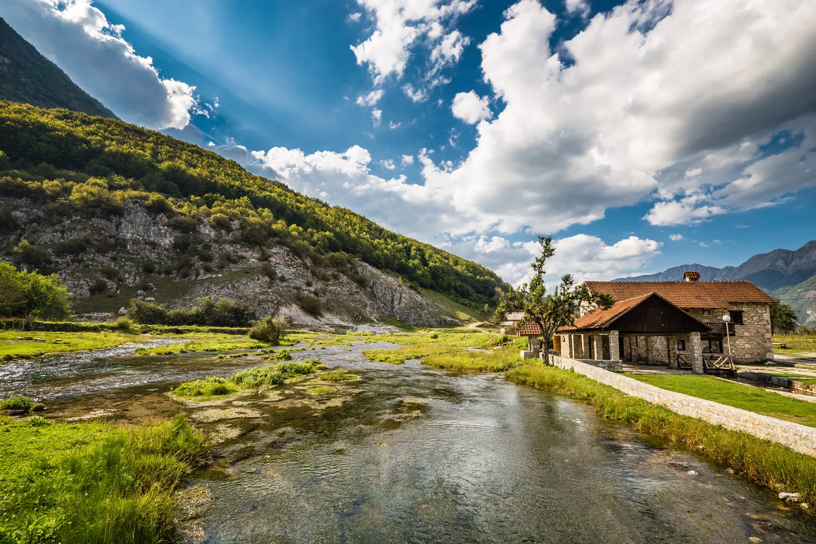
The old article romanticised the Lim as a fast river running through willow and beech. The river is visually compelling, but its practical role matters more. It drains the lake, opens the basin northward, connects settlements and creates both recreation opportunities and flood risk. In the official basin plan, the upper reach after Lake Plav is mapped as a separate 26.02-kilometre water body before the next Lim section.
Use signed viewpoints and public access. Do not step onto a low bank after intense rain, let children play beside fast water or assume a riverside track is public. Rafting and the Lim Regatta appear in tourism promotion, but event presence does not establish independent launch permission or safe flows. Book through a competent current operator and ask about equipment, guide qualification, cancellation thresholds and where the activity actually begins and ends.
Fishing also needs a present-tense check. Species descriptions in older articles are not a permit, and protected seasons, waters and managers can change. Ask which organisation controls the intended water, obtain the required permit and follow its rules. Never move fish between Lake Plav, the Lim or mountain lakes.
Murino: a town and a place of civilian memory
Murino is one of the municipality's main service and communications settlements, not merely a “picnic spot” as the inherited article suggested. Complete the route with enough time to see the place as a community. If you stop at the memorial associated with the bridge, understand the event before raising a camera.
For settlement orientation beyond this corridor account, use the dedicated Murino guide. Keep any current service, event or access claim tied to a dated local notice rather than assuming an older guide remains operationally current.
An official Montenegro Government account records that six civilians were killed in the bombing of the bridge at Murino on 30 April 1999: Miroslav Knežević, Olivera Maksimović, Julija Brudar, Vukić Vuletić, Milka Kočanović and Manojlo Komatina. The same 2025 statement describes state support for their families within a wider recognition of civilian victims of the 1990s.
This is not a curiosity to decorate a road trip. Read names where they are presented, leave ceremonies unobstructed, do not climb on memorial elements and avoid using victims as a dramatic background. If residents or families are present, their privacy takes priority. A responsible visit can be brief and still be meaningful.
Do not add Visitor Lake casually
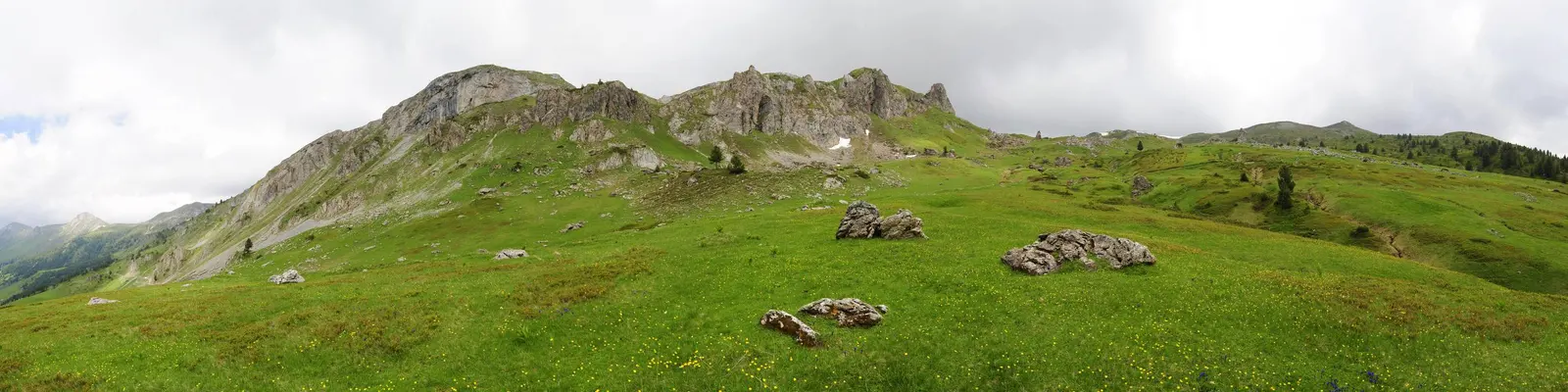
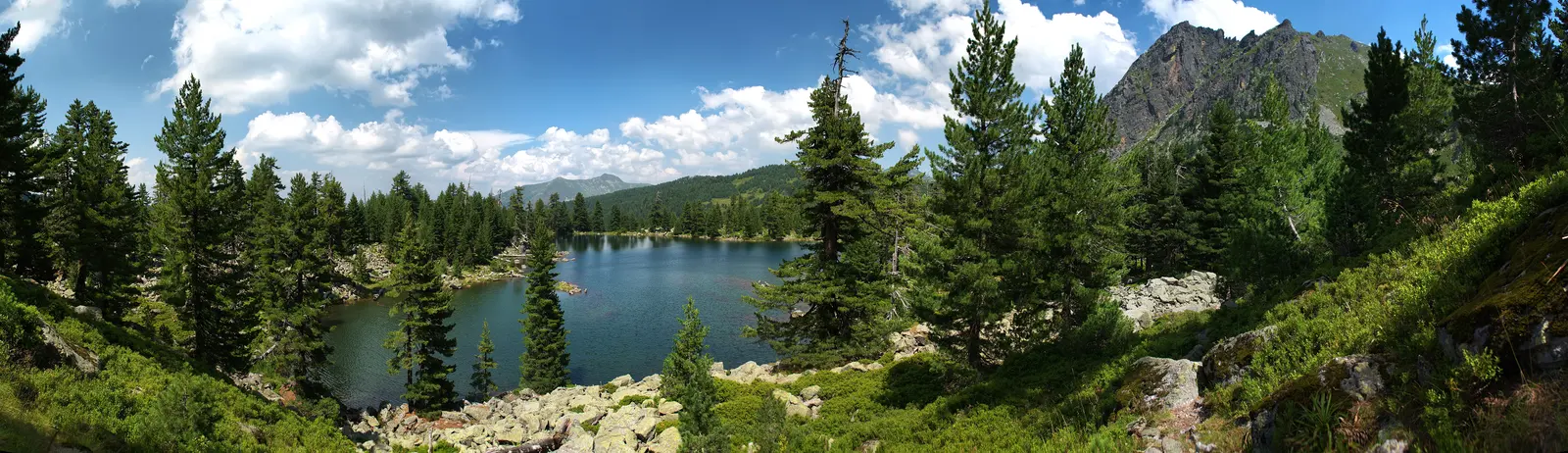
Visitor Mountain rises west of the corridor, and its small glacial lake is often presented as a natural extension from Murino. It is not a roadside lake. The local tourism authority places Visitor Lake at 1,735 metres and describes forest-road approaches, but road construction or proximity does not establish present access, parking rights, waymarking or safe walking.
Treat it as a separate mountain objective with forecast, route, daylight, navigation and local advice. Snow can remain after the valley turns green. In wet weather, forest roads and paths can become difficult or damaging to drive. If the route is uncertain, keep the day in the Lim corridor and use our serious-mountain planning principles before another northern hike.
Getting there and moving through the corridor
The Tourist Organisation of Plav lists the normal approach from Podgorica through Kolašin, Ribarevina and Berane and gives an approximate road distance of 180 kilometres. Treat that as orientation, not a journey-time promise. Weather, works, summer traffic and stops can change the drive substantially. The northern Montenegro guide helps build a wider route without overloading one day.
Public transport can reach the region, but a promotional claim that buses connect towns is not a usable timetable. Confirm the exact service, stop, ticket method and return on the operator's current channel. If the final connection is uncertain, stay in Plav rather than assuming a taxi or late bus will appear.
With a car, save each stop offline and keep fuel above reserve. Park in established spaces, never on wet meadow or a narrow river shoulder. The Plav-to-Murino corridor is compact on a map, but cultural visits, local traffic and an unhurried memorial stop make time more useful than speed.
A practical one-day sequence
- Before departure: check mountain weather, road notices and daylight. Ask the Tourist Organisation of Plav about any activity, interior opening or local event that matters to the day.
- Morning at Lake Plav: orient from an established shore point, keep clear of reed beds and resist adding an unverified water activity.
- Late morning in Plav: walk the centre, view Redžepagić Tower and read its disputed date honestly. Add another religious building only if access is appropriate.
- Midday: eat in Plav and confirm the road north. Do not leave valuables visible at informal stops.
- Early afternoon in Brezojevica: visit Holy Trinity Monastery quietly and distinguish the 1567 record from older tradition.
- Later afternoon in Murino: acknowledge the six civilian victims without turning the memorial into spectacle. Return with daylight margin.
If rain is heavy, remove riverbank stops first. If snow or ice affects the corridor, keep the plan within Plav or postpone. For a wider cross-border itinerary, use the Montenegro-to-Albania guide, but do not treat a border route as a shortcut without checking seasonal conditions and current entry rules.
Emergency and low-signal planning
For an emergency in Montenegro, call 112. The Ministry of the Interior says the service operates continuously and can coordinate the relevant responders. Mobile coverage is not guaranteed in every fold of the mountains, so save offline maps, preserve battery and tell someone the intended return.
Give the dispatcher coordinates, the nearest named settlement or road, group size, injury and immediate hazards such as fast water, traffic or cold. Do not enter a river or steep bank to recover equipment. A delayed photograph is replaceable; a second casualty is not.
Frequently asked questions
How large is Lake Plav?
Montenegro's official river-basin plan records the lake as a natural surface-water body of about 1.99 square kilometres. The inherited article's 5.4-square-kilometre figure and associated dimensions were not retained.
Can I swim or kayak in Lake Plav?
Possibly under suitable current conditions and from appropriate access, but this guide does not issue permission. Ask locally about water, wind, equipment, launch points and any restriction on the day.
Is Redžepagić Tower from the 15th or 17th century?
The detailed local source says the builder is uncertain. It records a 1671 attribution and a separate 15th-century tradition. It is more accurate to call it a protected historic residential-defensive tower than to present one disputed date as settled fact.
Is Holy Trinity Monastery a 13th-century building?
Local reporting distinguishes tradition about an earlier monastery from a 1567 written record for construction or renewal. The site has medieval associations, but not every part of the standing fabric should be assigned a 13th-century date.
Why include the Murino bombing in a travel guide?
Because Murino is a community with modern history, not a decorative endpoint. Six civilians killed at the bridge on 30 April 1999 are part of the place's public memory. A visitor should understand that context and behave accordingly.
Can Plav, Brezojevica and Murino fit in one day?
Yes, as a focused corridor journey with a lakeside orientation, town walk, monastery visit and respectful Murino stop. Do not add a major mountain hike or uncertain cross-border loop to the same day.
References and method
Research checked the Tourist Organisation of Plav's municipal geography, its pages for Redžepagić Tower, Holy Trinity Monastery and regional access; Montenegro's river-basin plan and Plav flood-management page; the Government's Murino victims statement; national tourism's Plav overview; and the Prokletije management plan. Unsupported measurements, operational promises and displaced Orahovac photographs were removed rather than silently rephrased.