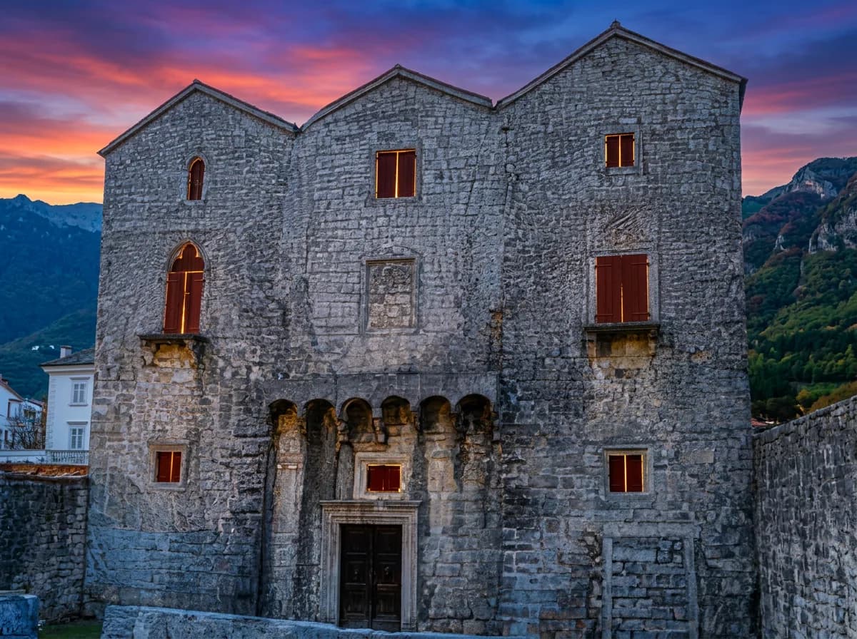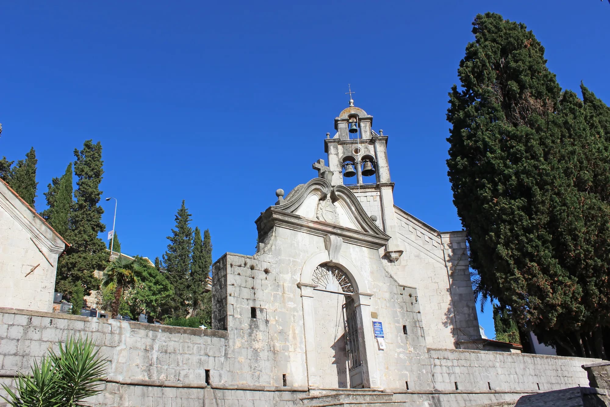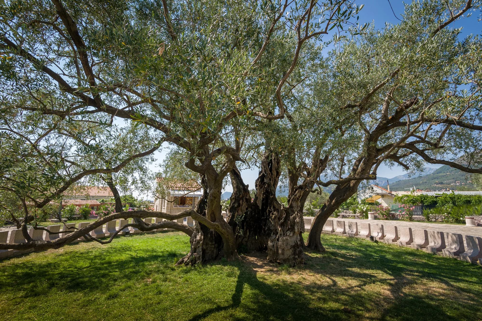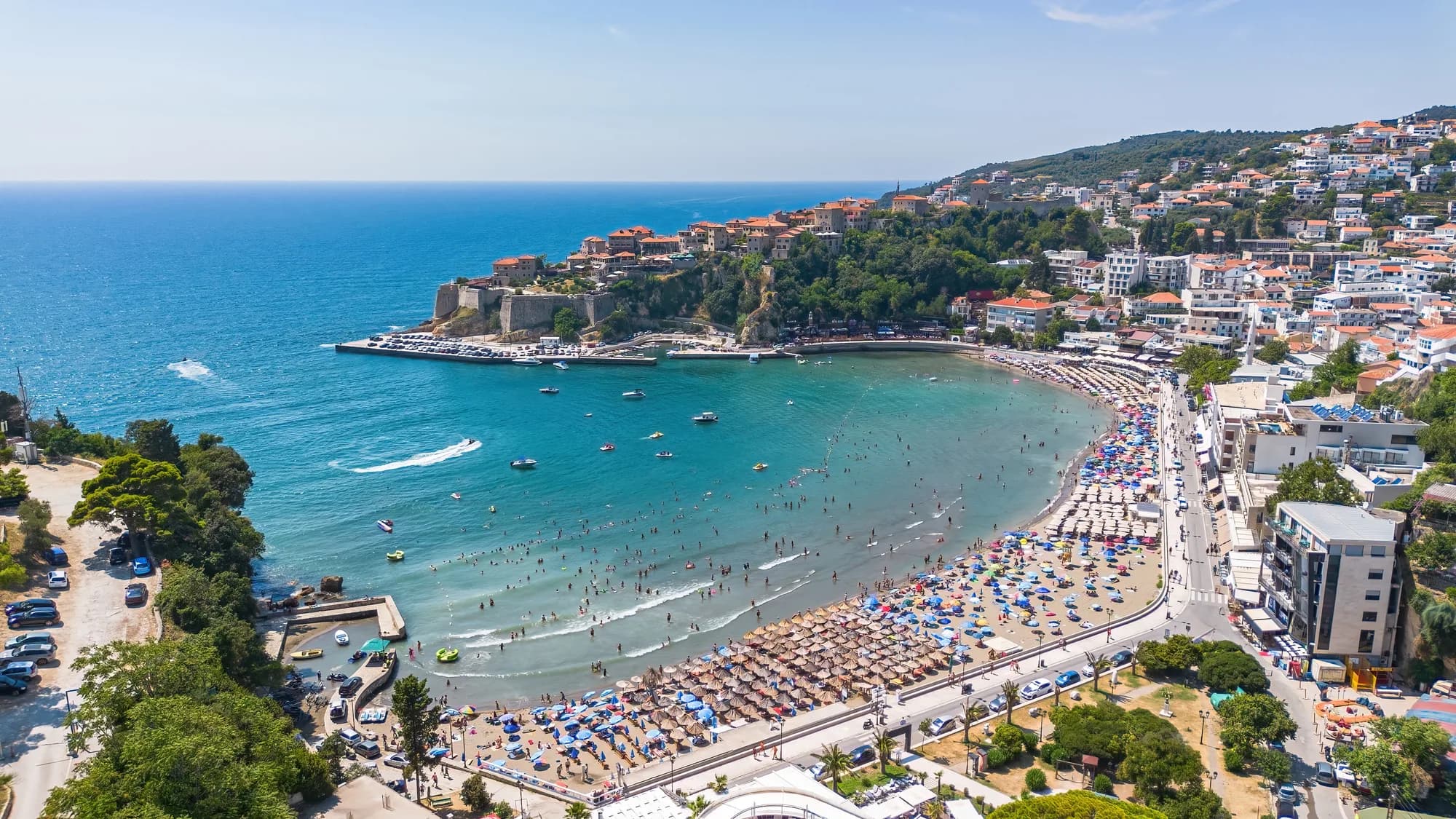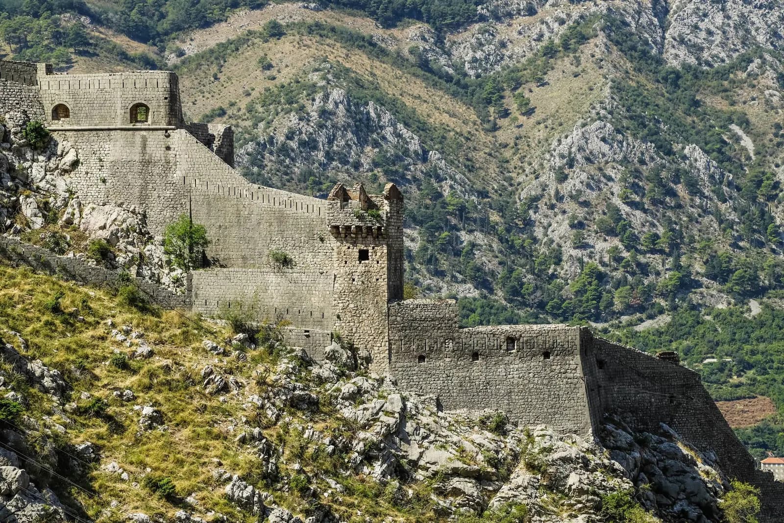
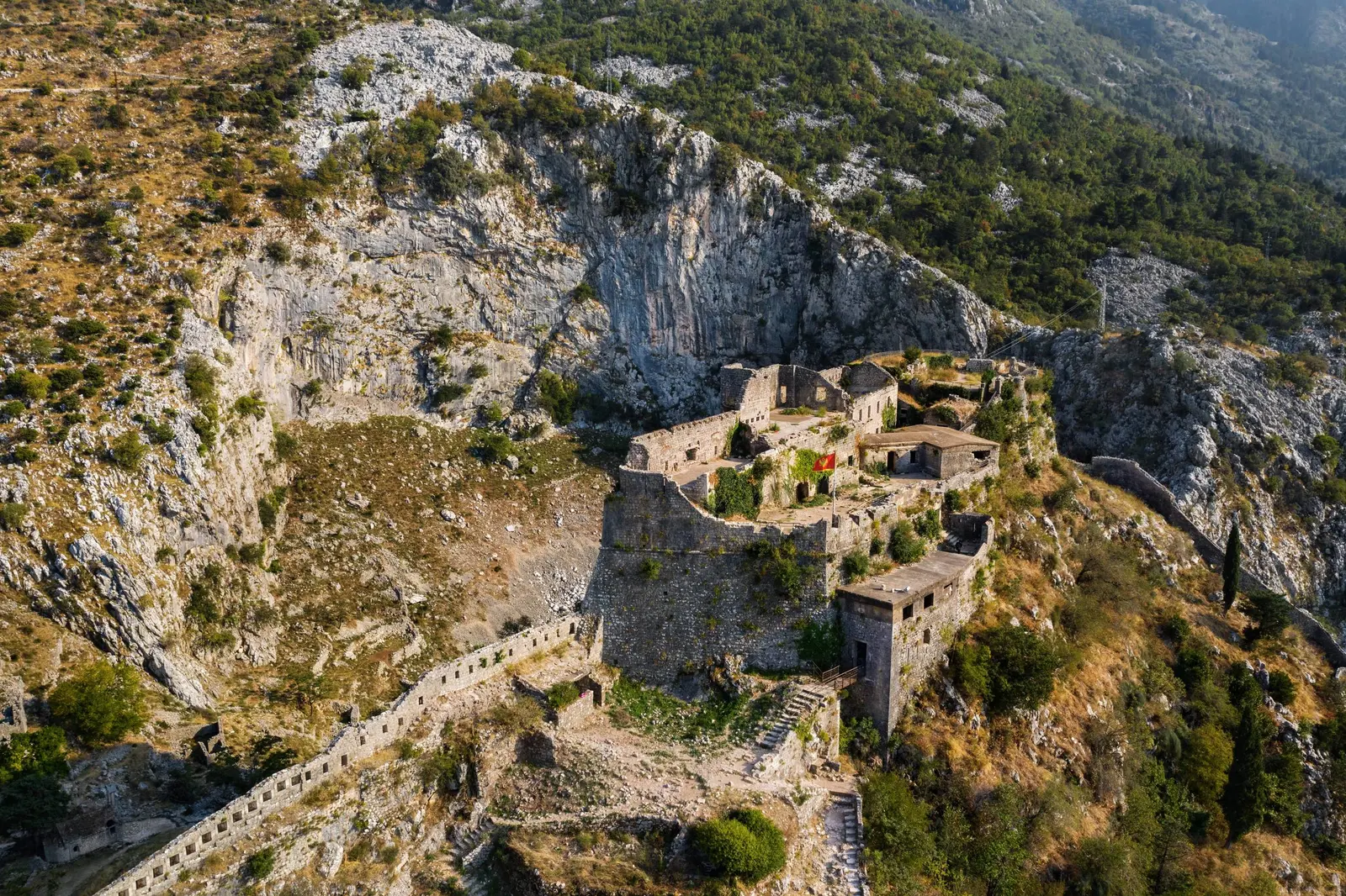
Kotor's walls are easy to mistake for a staircase with a view. They are a defensive machine assembled over centuries: a low stone shield around the port and Old Town, two long arms climbing a mountain, and a fortress fixed to the rock about 260 metres above the bay.
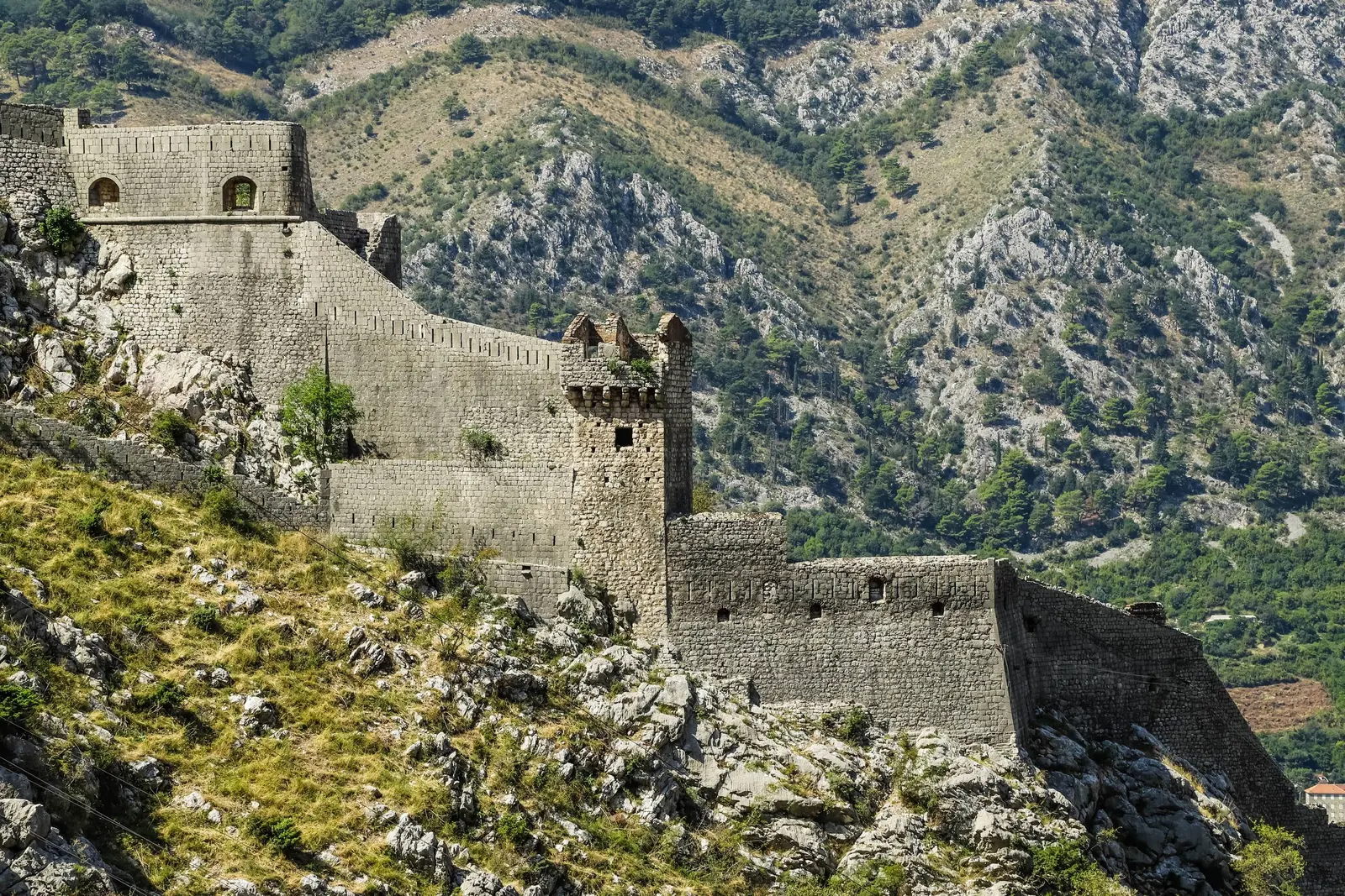
That distinction matters. The old version of this article said the walls themselves rose 260 metres and reduced the monument to a photo walk. Municipal records instead place San Giovanni fortress at that elevation. The masonry below varies enormously, reaching about 20 metres high in places. A responsible visit begins by seeing the walls as architecture under pressure—not as scenery built for a shortcut.
The walls by the numbers
| Measure | Published figure | What it actually describes |
|---|---|---|
| Total wall length | More than 4 km | The complete lower-city and mountainside fortification system; municipal documents also round it to 4 or 4.5 km |
| Wall height | Up to about 20 m | Local wall faces, not the climb's elevation gain |
| Wall thickness | About 2–16 m | A range across different defensive sections |
| Fortress elevation | About 260 m | San Giovanni on Sveti Ivan hill |
| World Heritage property | 14,600 ha | The wider Natural and Culturo-Historical Region of Kotor, not just the walls |
| Buffer zone | 36,491 ha | The wider protected setting around the inscribed property |
| Official public entrances | 2 | Parilo and Škaljarska pjaca |
| Last published municipal individual fee | €15 in 2025 | Check the official checkout before relying on this historical rate |
The length is deliberately not more precise. Kotor's own public documents variously say about four kilometres, more than four and 4.5. They also give different maximum thicknesses. The defensible conclusion is scale, not a spurious decimal: this is a multi-part system whose measurements depend on which walls and reconstructions are counted.
A fortress written in layers
Calling the entire complex “Venetian walls” is convenient and incomplete. A detailed municipal conservation history says sources distinguish the lower town from a fortress above it by the ninth century. By the fourteenth century, walls enclosed the urban core and Sveti Ivan hill. The system was repeatedly rebuilt, thickened and adapted as weapons and rulers changed.
Venice governed Kotor from 1420 to 1797 and left a decisive architectural layer. Bastions and exposed sectors were strengthened as Ottoman power expanded nearby. But foundations, medieval faces and later Austro-Hungarian interventions keep the monument from belonging to one flag or one century. The modern visitor is walking through accumulated decisions.
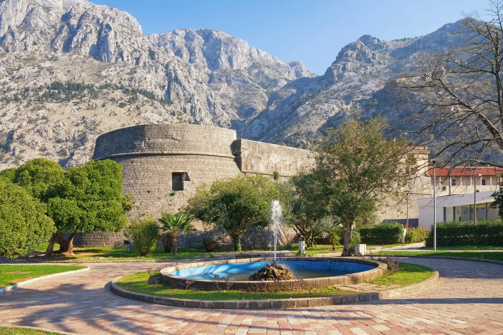
The lower circuit made the geography do military work. The Škurda River guarded the north, the Gurdić spring and steep ground guarded the south, and the waterfront wall faced the harbour. Three gates controlled access. The Sea Gate reached today's waterfront; the North Gate crossed the Škurda; the layered Gurdić gates defended the southern approach. The official Port of Kotor brochure offers a compact visual introduction, while our complete Kotor guide places those gates among the Old Town's churches, palaces and squares.
The climb: chapel first, fortress later
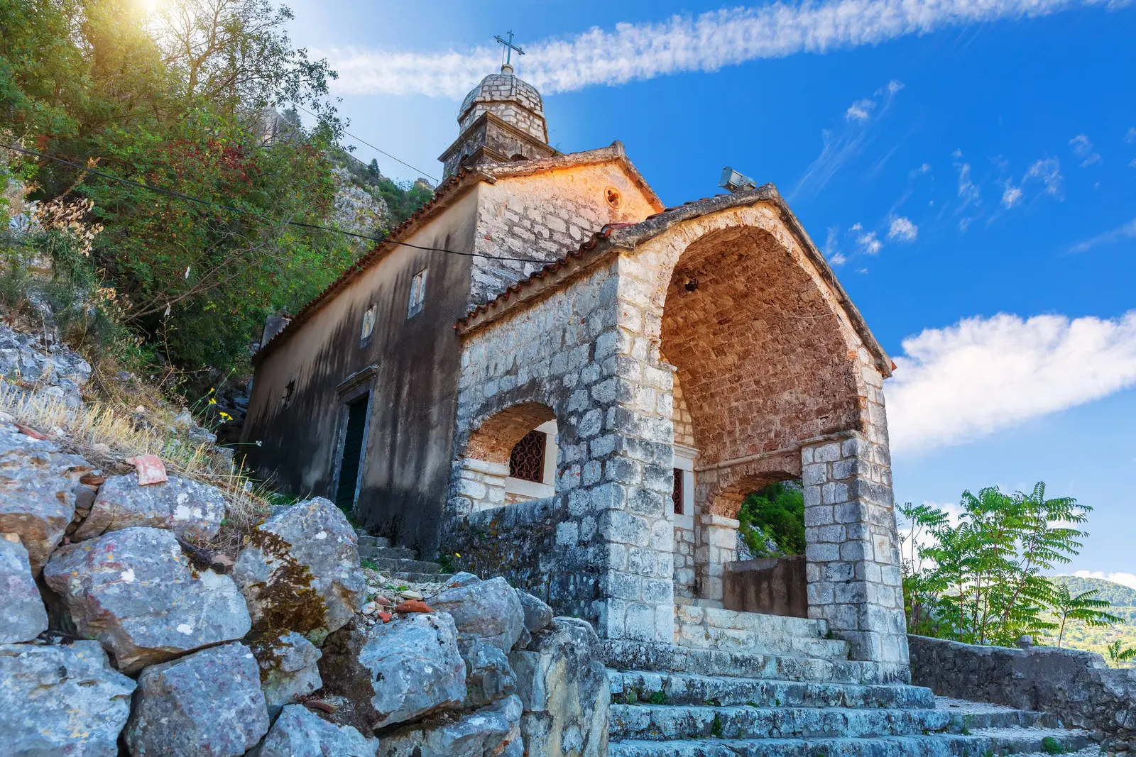
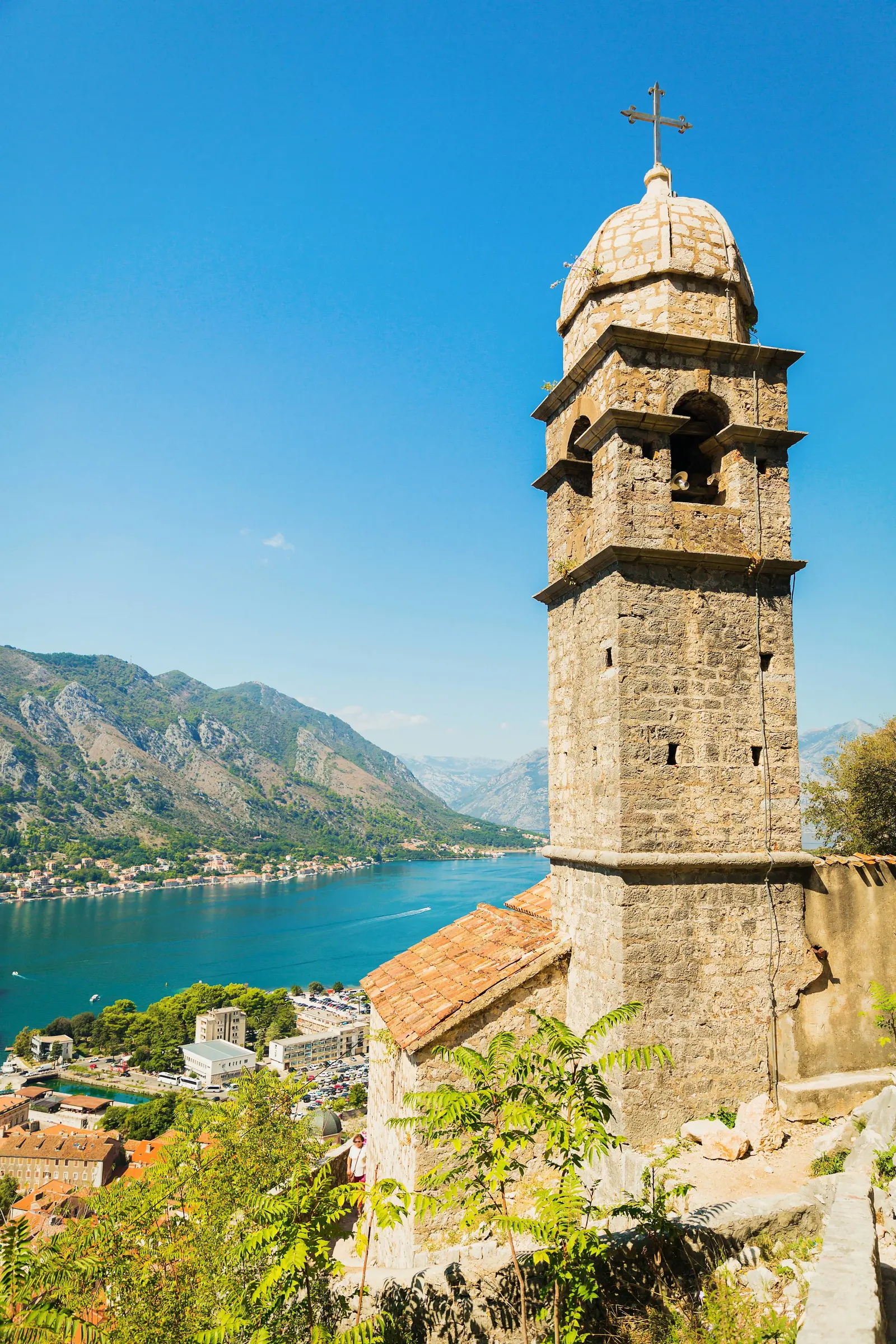
The official trail starts inside the Old Town and folds sharply uphill between the defensive walls. Our Lady of Remedy appears before the upper fortress and makes a sensible first decision point. The surviving stone steps and rough surfaces are uneven; exposure grows as the trail rises. There is no authoritative step total in the public sources reviewed for this article, so familiar internet counts are not repeated here.
San Giovanni, also called St John or Sveti Ivan, is the upper fortress. Those names refer to the same summit complex, not three attractions. Reaching it is not required to understand the walls. Visitors with limited time, heat tolerance or mobility can examine the Sea, North and Gurdić gates, the lower bastions and the town-wall relationship without attempting the mountain route.
For a wider day in the bay, pair the walls with the route in our Risan, Perast and Kotor guide. The comparison matters: Kotor built an enclosed mountain fortress, while nearby Perast relied on a different defensive landscape. Our Perast guide explains that contrasting urban form.
The earthquake that changed the conservation story
On 15 April 1979, a destructive earthquake struck the Montenegrin coast. UNESCO says Kotor's walls and many other monuments were seriously damaged. The wider region was inscribed on the World Heritage List that year and simultaneously placed on the List of World Heritage in Danger. It remained there until 2003 as reconstruction and protection advanced.
This history changes the meaning of “authentic.” Kotor is not valuable because every stone survived untouched. UNESCO's assessment is that its principal monuments and historic urban areas were carefully restored and reconstructed while retaining architectural, urban and historical authenticity. The test is whether repair preserves the relationships between town, bay, fortifications and steep landscape.
The World Heritage designation is also broader than the climb. The inscribed property covers 14,600 hectares and its buffer zone 36,491. UNESCO's statement of outstanding universal value emphasizes fortified and open towns, settlements, palaces and monasteries integrated with the cultivated slopes and bay. The walls are a powerful component, not the whole protected idea.
Why access became a conservation issue in 2026
In May 2026, the Municipality of Kotor explained why it had temporarily sealed two gun-port openings that people were using as unofficial entrances. According to the municipal statement, organized groups were reaching them with ladders, ropes and improvised equipment. Officials reported tourist injuries, weakened mortar, unstable vaults and a greater collapse risk as traffic increased.
The intervention used stone and lime mortar and was described as reversible. Whatever one thinks about ticket enforcement, the underlying problem is not abstract: an opening more than five metres above difficult ground can be both historic fabric and a dangerous social-media shortcut. The municipality said ticket revenue supports maintenance, reconstruction, paths and visitor infrastructure. Transparent accounts would make that conservation compact easier for the public to evaluate.
This is why this guide does not recommend informal access through Špiljari, a gun port or a mapped “free route.” Use the controlled entrances. The official trail is already steep and unlit after dark; adding ladders or unstable openings converts a heritage visit into unmanaged risk.
Official entrances and seasonal hours
The Municipality's 2026 Kotor City Walls site identifies two entrances. Parilo is behind the Church of St Mary Collegiate, commonly called Blessed Ozana. Škaljarska pjaca is near Salata Square and the southern Gurdić gate. Both lead to the main San Giovanni trail.
| Season | Dates | Staffed hours | Important note |
|---|---|---|---|
| Pre-season | 1 March–30 April | 08:00–18:00 | Daylight conditions still change quickly |
| Peak season | 1 May–30 September | 07:00–20:00 | Avoid the strongest heat where possible |
| Post-season | 1 October–30 November | 08:00–17:00 | Allow margin before the gate closes |
| Winter | 1 December–28/29 February | Toll booths closed | Municipality says access is at the visitor's own risk |
The site states that staying on or climbing the walls after 22:00 is prohibited and extremely risky because the terrain is steep and unlit. Published hours are not a guarantee of weather, maintenance access or special-event conditions. Check the official page the same day, and turn around early enough to descend in full light.
A February 2025 municipal notice set the individual fee at €15 and exempted people with registered residence in Montenegro. The 2026 visitor page confirms online ticketing but does not expose a current checkout price in its readable public text. Treat €15 as the last clearly published municipal rate, not a promise; verify the checkout before arrival.
Practical plan for a safer ascent
Start early, especially from May through September. Carry water, use footwear with grip, and treat polished stone, loose gravel and wet steps as separate hazards. A bright bay below can disguise how exposed the upper route feels. Heat and thunderstorms are reasons to shorten the climb, not challenges to defeat.
There is no fixed duration that applies to everyone. Build the plan around a turnaround time rather than a summit deadline. Our Lady of Remedy can be the destination; San Giovanni is optional. Families should keep children close on exposed sections. Travellers who cannot manage steep, irregular stairs can still make a strong architectural circuit at ground level through the three gates and lower walls.
Do not combine the climb with an illegal parking or registration shortcut. If Kotor is your overnight base, our tourist-tax and registration guide explains the separate visitor obligation. If you are deciding between two fortified Adriatic cities, Kotor versus Dubrovnik compares scale, crowds and trip structure without pretending the monuments are interchangeable.
The pressure is larger than the trail
UNESCO's 2024 decision welcomed work toward sustainable tourism management but asked for stronger assessment of development across the property. A 2025 UNESCO–ICOMOS advisory mission again identified fragmented management, development pressure and cumulative risk. These findings apply to the full Kotor region, not only the ticketed walls, but the trail concentrates the same policy problem in miniature: access creates value, traffic creates wear, and weak data makes trade-offs harder to judge.
A credible annual wall report would publish tickets and exemptions by month, revenue, maintenance spending, closures, injuries, rescue callouts, conservation inspections and the condition of high-risk masonry. It would distinguish routine maintenance from capital reconstruction and identify which works were reviewed by heritage authorities. That would turn a €15 transaction into a visible stewardship account.
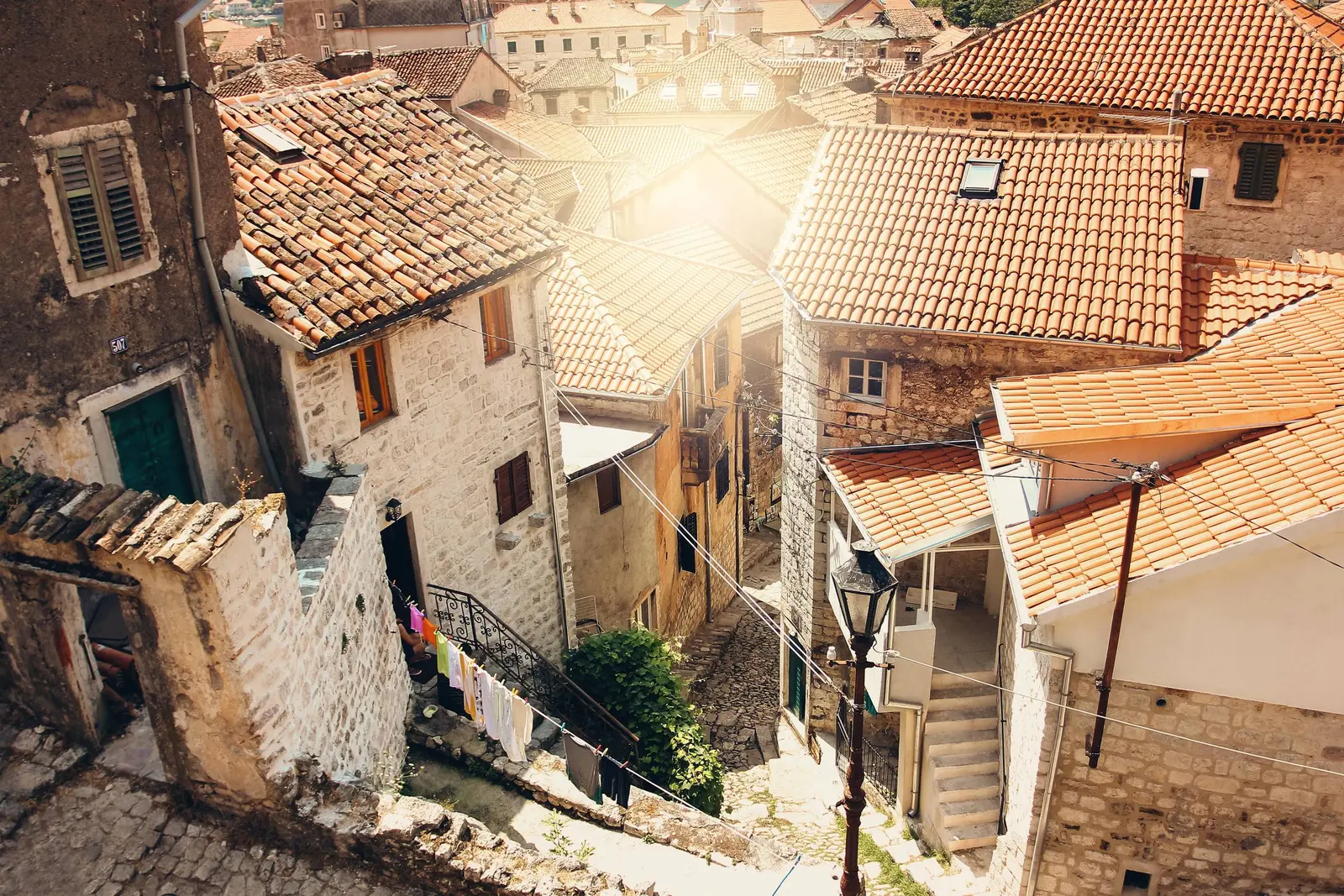
The walls also connect to the inner bay rather than ending at Kotor's municipal story. The historic route through Risan, Perast and Kotor shows how trade, defence and settlement changed around the same water. That regional lens is closer to UNESCO's logic than treating San Giovanni as an isolated attraction.
Frequently asked questions
Are Kotor's walls 260 metres high?
No. The Municipality places San Giovanni fortress at about 260 metres above sea level. Individual wall faces reach up to about 20 metres in places.
How long are the walls?
The most detailed municipal conservation source says the complete system exceeds four kilometres. Other official documents round the total to four or 4.5 kilometres, so “more than four” is the honest formulation.
How many steps are there?
This review found no authoritative current step inventory. Popular totals vary, possibly because routes and counting methods differ. Plan for a sustained, uneven mountain ascent rather than relying on a step number.
Is the fortress called San Giovanni, St John or Sveti Ivan?
All three names are used for the upper fortress and hill: Italian, English and Montenegrin forms of the same dedication.
Can I enter through the free ladder route?
Do not. In 2026 the municipality reported injuries and structural damage at two unauthorized openings used with ladders and ropes. Use Parilo or Škaljarska pjaca.
Is the climb open in winter?
The official site says toll booths are closed from December through February and that the climb is at the visitor's own risk. Weather, surface and maintenance conditions still determine whether proceeding is sensible.
What if I cannot climb steep stairs?
Visit the Sea, North and Gurdić gates and inspect the lower bastions from the Old Town perimeter. This reveals the fortification's relationship with the harbour and rivers without the mountain ascent.
Sources and methodology
Dimensions and construction history come from Kotor municipal publications and are qualified where official figures disagree. Current entrances, seasonal hours and the 22:00 prohibition come from the municipality's 2026 visitor site. The €15 figure is explicitly dated to the municipality's 2025 notice.
World Heritage dates, areas, earthquake damage and conservation principles come from UNESCO's property record, its 2024 decision and the 2025 UNESCO–ICOMOS mission assessment. The May 2026 access dispute is based on the municipality's own statement, not social-media route descriptions. All six existing Montenegro.com photographs were visually reviewed; their captions describe only visible subjects and do not imply a survey date or restoration status.