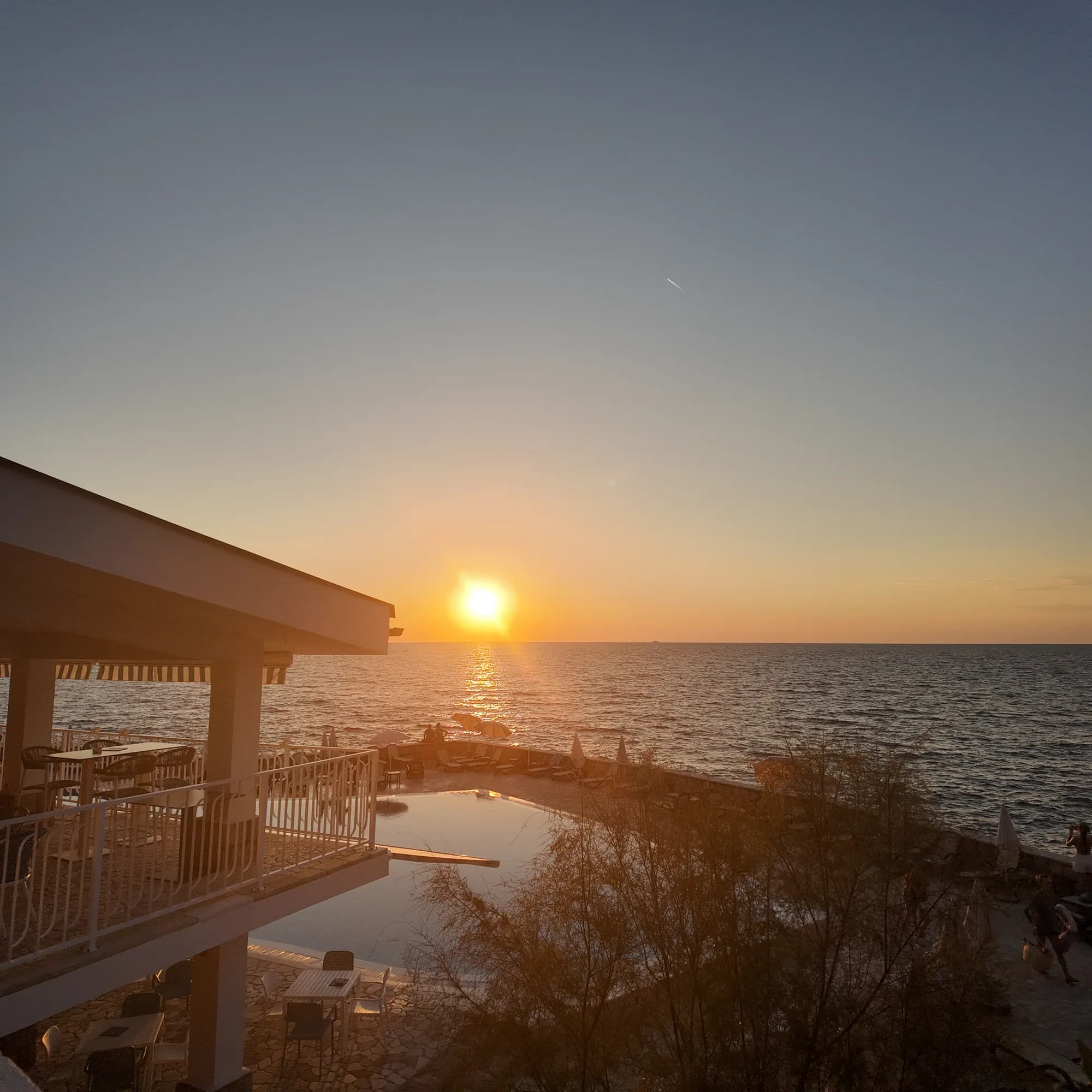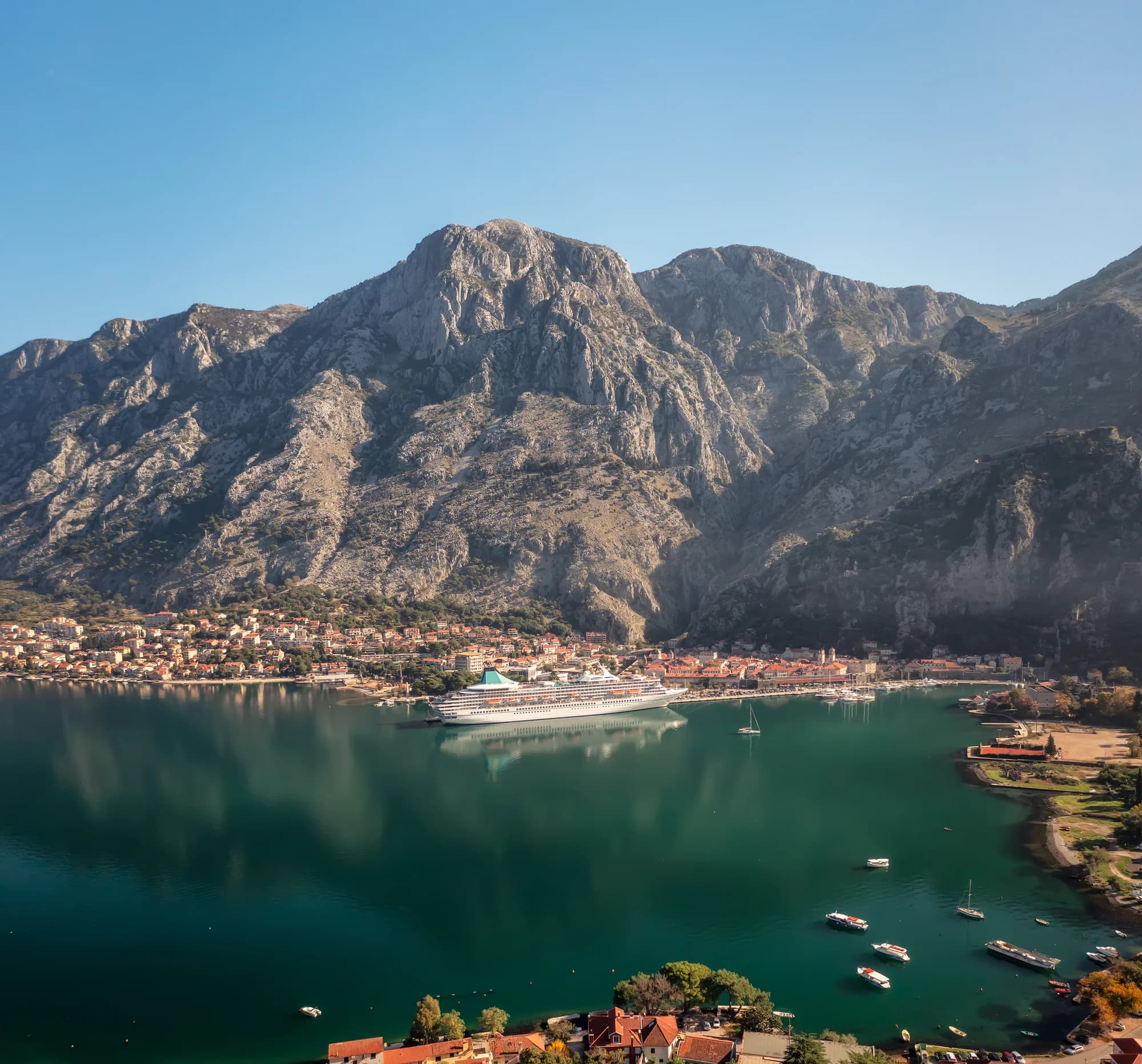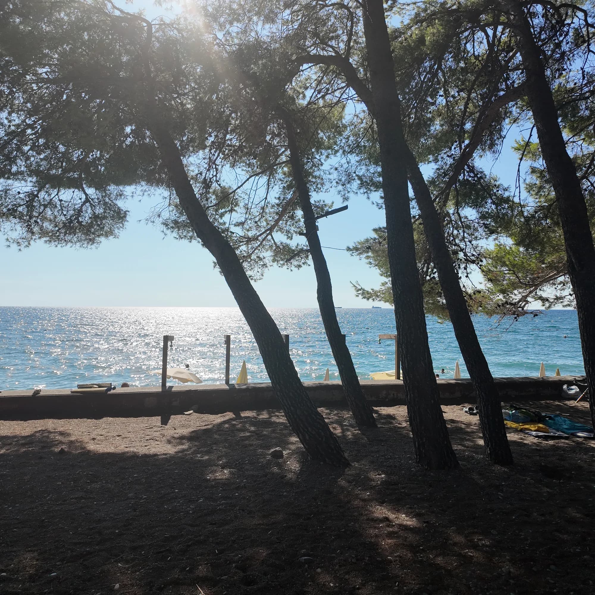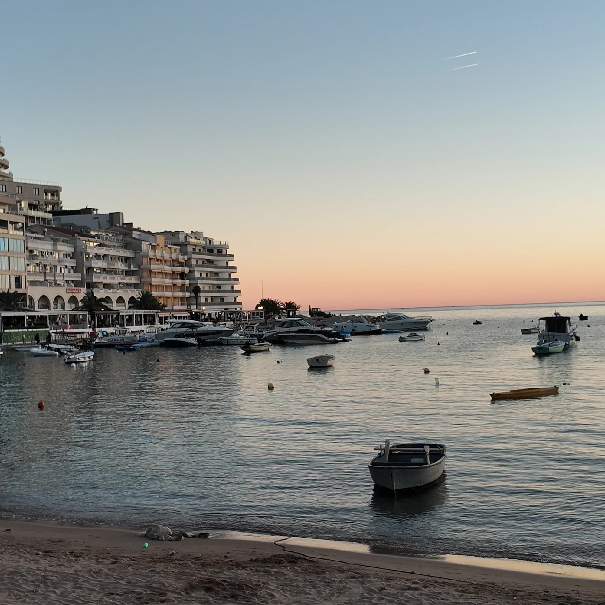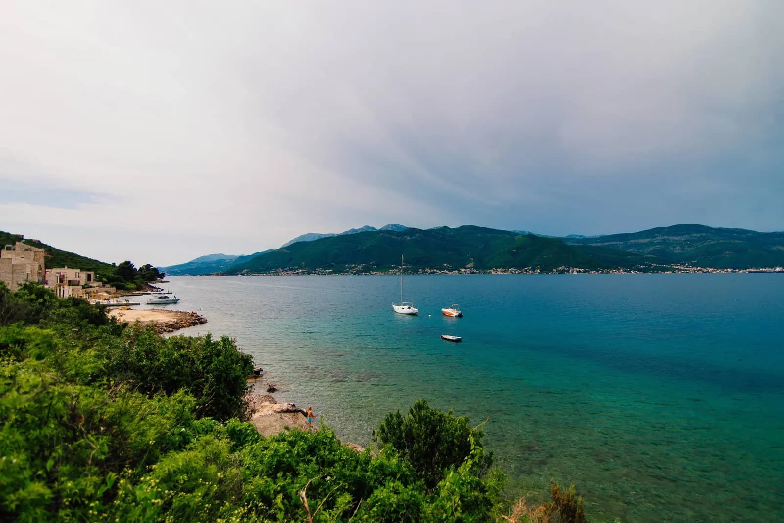
Krašići is a place for swimming from rock and concrete, looking across Tivat Bay, and slowing down—not a resort built around one perfect sandy beach. The village runs along the bay-facing side of the Luštica Peninsula, opposite Tivat and the Krtoli islands. Its older stone fabric, newer apartments, small piers and hillside lanes make an attractive base for travellers who value a waterfront routine more than a full-service promenade.
The inherited title of this page needs one correction. “La Dolce Vita Rest” was a mistranslation of odmor, meaning holiday or vacation. It did not identify a verified restaurant called La Dolce Vita. This guide keeps the useful idea—a relaxed Krašići stay—but replaces vague sales copy with evidence on shore type, water-quality checks, access, parking and realistic day trips.
Krašići at a glance
| Question | Evidence-led answer | What to verify |
|---|---|---|
| Where is it? | Bay side of the Luštica Peninsula; Tivat Tourism Organisation gives about 14 km from Tivat | Actual road time from your property, especially in summer |
| What is the shore? | Mostly rocky edge, concrete bathing platforms, piers and small entries | Steps, ladders, shade and access rights at the exact spot |
| Is it walkable? | Individual waterfront sections are walkable, but there is no continuous comfortable promenade | Gradient, road exposure and distance to groceries or swimming |
| Best for? | Quiet stays, bay views, self-catering, swimming and Luštica exploration | Noise, construction and parking near the chosen address |
| Less suitable for? | Travellers needing a sandy beach, dense nightlife or step-free public space outside the door | Accessible entrance, lift, parking and bathing setup |
| Water quality? | Monitored and variable; never infer safety from colour or tourism slogans | Current Morsko Dobro result and the flag at the bathing area |
Where Krašići sits in the Bay
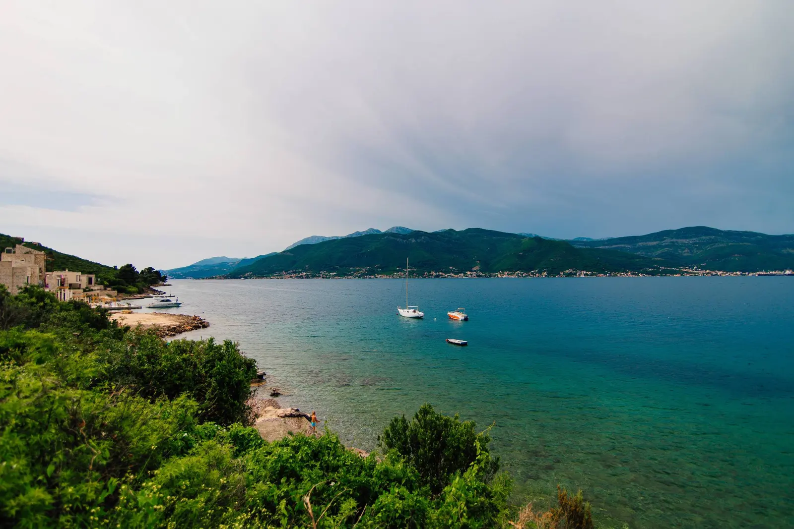
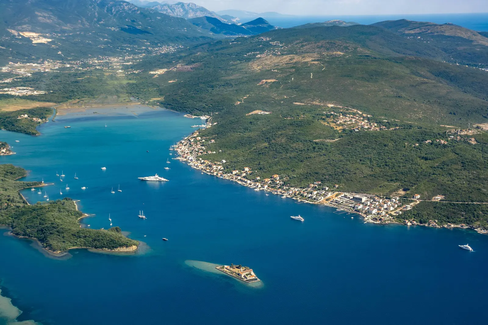
Krašići occupies the inside coast of Luštica, not the peninsula’s open-Adriatic edge. Across the water lie Tivat and the slopes rising toward Vrmac. To the west and northwest, the view opens toward the inner Bay of Kotor; toward the head of Tivat Bay are the Krtoli islands and the wetland shallows of Solila.
The Tourism Organisation’s English municipal map calls Krašići a small fishing village about 14 km from Tivat and distinguishes an upper and lower part. That distance is useful for orientation, not for promising a transfer time. The route passes the airport/Krtoli approaches, and summer traffic, junction queues and the exact hillside address can change the journey substantially.
| Place | Position |
|---|---|
| Tivat Bay | Main bay |
| Tivat | Town on the bay |
| Krtoli islands | Islands in the bay |
| Solila + airport side | North side of the bay |
| Krašići | Village on the bay |
| Luštica road toward Žanjice | Road onward from Krašići |
Source: tivat.travel
Choose the exact address, not just the village
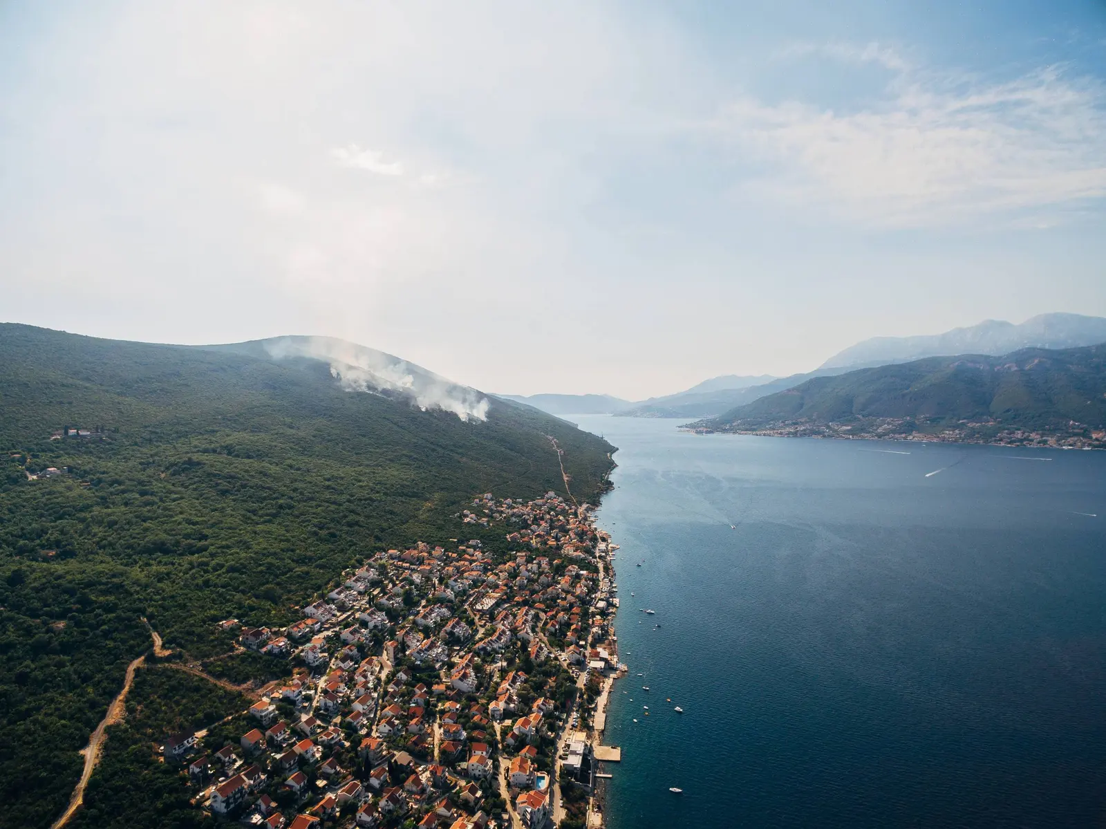
Krašići changes quickly over a short distance. A house close to the water may have direct steps but little parking. A hillside apartment may gain a broad view and lose convenient access. “Five minutes from the sea” says little without gradient, surface and whether the route shares a narrow road with vehicles.
The most current planning evidence is unusually candid. During an August 2026 consultation on Tivat’s new spatial plan, Krašići representatives identified a lack of pedestrian zones, parking and public facilities as key challenges. That does not mean every lane is difficult. It does mean travellers should not assume a resort-style promenade or abundant public parking from the waterfront photographs.
Before booking, ask for a map pin and answers to concrete questions:
- How many metres and steps separate the entrance, parking place and bathing access?
- Is the parking space dedicated, and will a large car fit the approach?
- Can groceries be reached without walking in the traffic lane?
- Does the room face a road, construction site, restaurant terrace or neighbouring pool?
- Is the nearest sea entry public, shared with guests, or controlled by another property?
- Are there a ladder and handrail, and are they installed outside peak season?
If urban convenience matters more than immediate water access, compare the village with the areas in the Tivat accommodation guide. Tivat offers a longer promenade and more services; Krašići trades that convenience for a smaller-scale shore and a position on Luštica.
Swimming in Krašići: what the coast is actually like
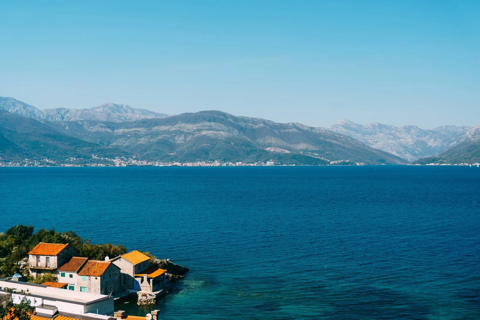
Tivat Tourism Organisation characterizes Bjelila and the other Krtoli settlements, including Krašići, by rocky shore and concrete piers. That is the correct expectation. Some entries have small pebble strips or built platforms, but this is not a continuous natural sand beach. Water shoes can help on sharp rock and marine growth; a ladder matters more than an umbrella if a swimmer cannot climb from deep water.
Inspect a bathing point in daylight before jumping. Check depth, submerged blocks, boat lines, ladders and the return route. Do not dive from a pier merely because someone else does. Small craft use the waterfront, and a calm-looking bay can still have wind chop or wakes. Children and weak swimmers need an entry whose depth and footing an adult has actually checked.
For a broad managed or sandy-beach day, leave the village. Tivat Tourism Organisation describes Pržna Bay, popularly Plavi Horizonti, as a sandy beach on the Luštica Peninsula. Žanjice lies farther around the peninsula on the open-sea side and has a very different white-pebble setting. Road travel is winding and parking can be pressured; check current access and operating arrangements rather than relying on an old “ten minutes away” claim.
Travellers comparing natural shore types may find the Drobni Pijesak cove guide useful. A photogenic cove, a family beach and an everyday village bathing platform solve different needs. Choose by entry, shade, toilets, crowding and return transport, not by water colour alone.
Water quality: replace slogans with current evidence
The old article called this the cleanest part of Boka and said the water was always warmer. Neither claim is safe as a planning rule. Bathing-water quality varies over time and by monitoring point; temperature changes with season, weather, depth, currents and wind. Clear water can still fail a microbiological test, while a recent good sample cannot guarantee tomorrow’s conditions after heavy rain or an incident.
Morsko Dobro’s 2024 season report is important because it complicates the marketing language. It gave Krašići 01 a poor seasonal classification, yet its ten individual analyses were three excellent, four good and three satisfactory. These facts are not mutually exclusive: a seasonal classification incorporates a monitoring series and answers a different question from a single result. The correct visitor action is to check the newest sample and obey the on-site flag.
| Krašići 01, 2024 | Number of individual analyses | What it means |
|---|---|---|
| Excellent | 3 | Those samples met the highest reported class |
| Good | 4 | Acceptable reported class, below excellent |
| Satisfactory | 3 | Still an allowed bathing-water class in the report |
| Poor individual samples | 0 reported in the ten-result breakdown | Does not override the report’s poor seasonal classification |
| Seasonal classification | Poor | Use the post-season assessment for 2024 context; use current sample and flag for today |
For the national round sampled 17–21 August 2026, Morsko Dobro reported 73.7% of monitored locations excellent, 15.8% good, 8.8% satisfactory and 1.8% poor. That release did not give a Krašići-specific grade, so it cannot be used to infer one. The agency directs swimmers to its live bathing-water dashboard for location-level results, temperatures and salinity.
| Step | What to do |
|---|---|
| 1 | Match the exact location on the dashboard |
| 2 | Read grade and sample date, not just colour |
| 3 | Check flag and local notice on arrival |
| 4 | Inspect waves, boats, ladder and depth |
Source: monitoring.morskodobro.me, morskodobro.me
Upper and lower Krašići
Official tourism material distinguishes Gornji Krašići above the coast from the lower waterfront settlement. The contrast is worth experiencing without inventing a neat “old versus new” boundary. Lower Krašići contains both older stone houses and substantial recent development. The upper area and neighbouring hamlets preserve a more rural Luštica relationship among paths, churches, scrub, pasture and views.
In 2018 the Municipality of Tivat used an old village path for a six-kilometre European Mobility Week walk linking Krašići, Gornji Krašići, Gošići, Kostići and Bjelila; the municipality said vegetation had been cleared that year. That event proves a historical connection, not a permanently waymarked modern trail. Vegetation, surfaces, private boundaries and fire damage can change. Ask locally about present passage, carry water, avoid midday heat and turn back if the route becomes unclear. For broader preparation, see the Montenegro hiking guide.
A small church dedicated to the Boka martyrs is a distinctive feature of the Krašići coast. Tivat’s Luštica tourism map connects its patronage with Austro-Hungarian admiral Maximilian Daublebsky von Sterneck and Tivat’s late nineteenth-century naval development. View it as a place of worship and memory, not a roadside prop; do not assume it is open or that a passing visit permits interior access.
The islands opposite Krašići
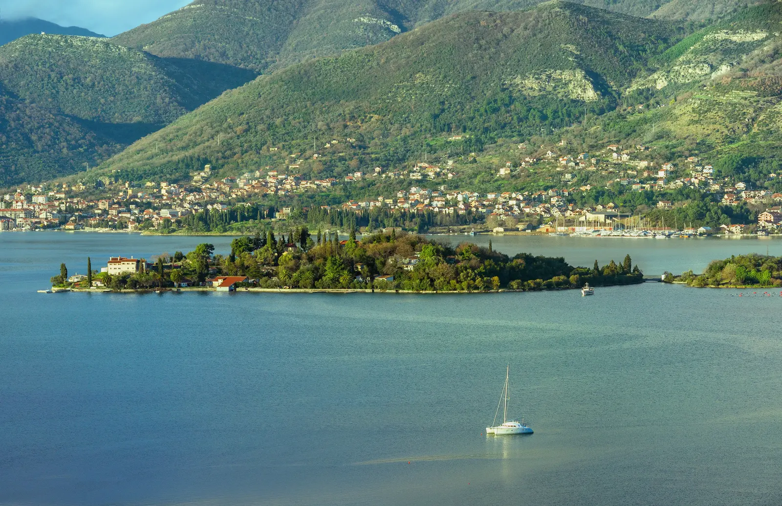
Three islands organize the view: Miholjska Prevlaka, commonly called the Island of Flowers; Sveti Marko, historically also Stradioti; and the small Our Lady of Mercy island. They are not interchangeable beach stops. Each has different religious, ecological, ownership and access conditions.
Miholjska Prevlaka is connected near the mainland and contains an active Orthodox monastery and archaeological layers. The dedicated Island of Flowers guide explains why the site should be read through evidence rather than the simplified “first Zeta bishopric in 1219” sentence copied across tourism pages. Dress and behave for a living religious place, and respect any restricted area.
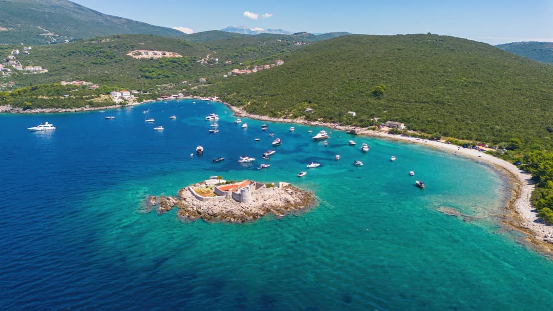
Sveti Marko is larger and reached by water. Tivat Tourism Organisation describes natural shore and recommends guided exploration, but that is not permission to land anywhere or enter structures. Our Lady of Mercy contains a church and monastery complex; the tourism organisation records its religious custodianship. Arrange any boat outing through a lawful operator, ask what landing is included, and do not treat aerial visibility as public access.
Day trips that fit the geography
1. The Luštica panoramic road
Tivat Tourism Organisation maps a 40 km panoramic route through Bjelila, Krašići, Zabrđe, Klinci, Mrkovi, Tići, Mardari, Begovići and Luštica Bay. Forty kilometres sounds short; on narrow, winding roads with stops it is not. Begin with fuel, offline navigation and enough daylight. Pull over only where the vehicle is completely clear of the carriageway and private entrances.
2. Žanjice and the outer peninsula
Žanjice provides the open-sea contrast missing from the village shore: pale pebble, clearer exposure to Adriatic weather and boat traffic around the entrance to Boka. It can become busy, and the road around Luštica is slower than a map glance suggests. If returning after sunset, remember that the same curves and narrow sections feel different in darkness.
3. Tivatska Solila
Tivatska Solila protects a rare salt-wetland habitat at the head of the bay. Montenegro’s Environmental Protection Agency records its nature-reserve status and Ramsar recognition from 2013. Go for habitat and bird observation rather than beach activity. Stay on permitted routes, keep distance from wildlife, take litter out and follow current fire or access restrictions.
4. Tivat
Tivat supplies the urban counterpoint: waterfront walking, groceries, services and transport connections. A split stay can work well—several nights in the village, then time in town—especially without a car. The seven-day Montenegro itinerary helps test whether a peninsula base fits a wider trip rather than forcing every excursion through Krašići.
Practical planning by season
Summer: reserve dedicated parking, confirm air conditioning and walk early or late. Bring water shoes and shade if the nearest platform has neither. Check bathing-water data after intense rain and observe flags. Traffic and parking pressure are part of the stay, not an incidental inconvenience.
Spring and autumn: quieter roads and walking temperatures can improve exploration, while bathing ladders, restaurants and boat services may be reduced or absent. Ask what is actually operating. A sea-view apartment does not guarantee heating, and a sunny terrace can become exposed in wind.
Winter: choose Krašići for landscape and stillness only after confirming heating, groceries and transport. This is a lived settlement, but much accommodation and hospitality is seasonal. Storms can make a normally easy waterfront edge wet and unsafe.
For romantic scenery, Krašići earns a place among Montenegro’s quieter coastal settings, but “romantic” should not conceal logistics. The best stay is usually the one with a verified bathing entry, parking arrangement and tolerable walk—not simply the widest view.
A low-friction two-day plan
Day one: arrive before evening, locate parking and inspect the nearest sea entry while there is good light. Walk only the comfortable waterfront segment, identify a backup bathing point and check the live water result. Swim when boat traffic and wind are low. Use sunset for the island view rather than relocating the car.
Day two: start early for Gornji Krašići or a section of the Luštica route. Choose one main excursion—Žanjice, Plavi Horizonti, Solila or Tivat—not all four. Return before the busiest dinner movement if your parking approach is tight. Travellers who prefer an organized day can use the Montenegro tours overview to understand formats, then verify the exact licensed operator and itinerary independently.
Frequently asked questions
Does Krašići have a sandy beach?
Do not choose the village expecting a continuous sandy beach. Official tourism guidance characterizes the Krtoli coast here as rocky with concrete piers. Individual small entries vary. Plavi Horizonti is the better-known sandy option elsewhere on Luštica.
Is the sea in Krašići always clean and warm?
No “always” claim is defensible. Morsko Dobro monitors bathing water, and results vary by point and date. Check the latest location-level result and the on-site flag. Water temperature changes with weather, season, wind and local conditions.
Can I stay without a car?
Yes, if the exact property is close to groceries and a suitable swimming point and you are willing to pre-arrange transfers. Without those conditions, a car or taxi budget is useful. Do not assume frequent late-evening public transport without checking a current operator timetable.
Is Krašići suitable for children?
It can be, but the address matters. Look for a shallow, protected entry, secure railings, minimal road exposure and dedicated parking. A deep-water ladder or sun-exposed concrete platform is not automatically family-friendly.
What is the difference between upper and lower Krašići?
Lower Krašići follows the waterfront and contains stone houses, piers, apartments and newer construction. Gornji Krašići lies uphill within the older rural landscape. Official sources confirm the distinction; the boundary is not a simple museum-like split between “authentic old” and “modern new.”
Can I visit all three Tivat Bay islands?
Do not assume unrestricted landing. Miholjska Prevlaka has mainland access and an active monastery; Sveti Marko is reached by water; Our Lady of Mercy is a small religious complex. Verify permissions, landing arrangements and conduct with a legitimate local operator or custodian.
How far is Krašići from Tivat Airport?
It is geographically close on the Krtoli side of the bay, but road time depends on the route, season and exact address. Ask a host or transfer company for a current estimate tied to your arrival time rather than relying on a fixed number copied from a listing.