Atlas plaža
Zalazak sunca nad morem
19 od 39 plaža u atlasu.
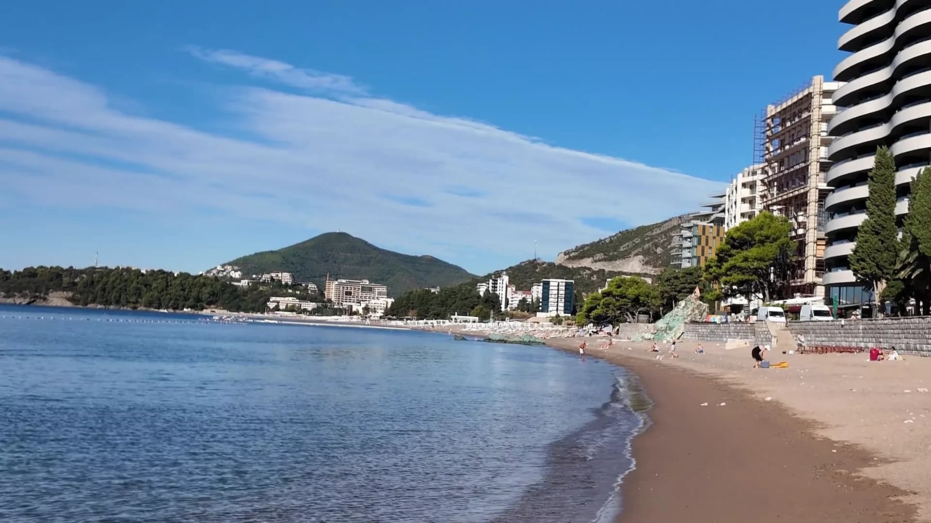
Budvanska rivijera
BečićiBečićka plaža
Skoro dva kilometra sitnog pijeska i šljunka sa plitkom obalom, šest koncesija sa Plavom zastavicom i Grand Prix Pariza iz 1935. godine.
- Podloga
- pijesak i sitni šljunak
- Ulaz u more
- ulaz u more blag
- Karakter
- uređeni i slobodni djelovi
- Dužina
- 1.9–2 km
Budvanska rivijera
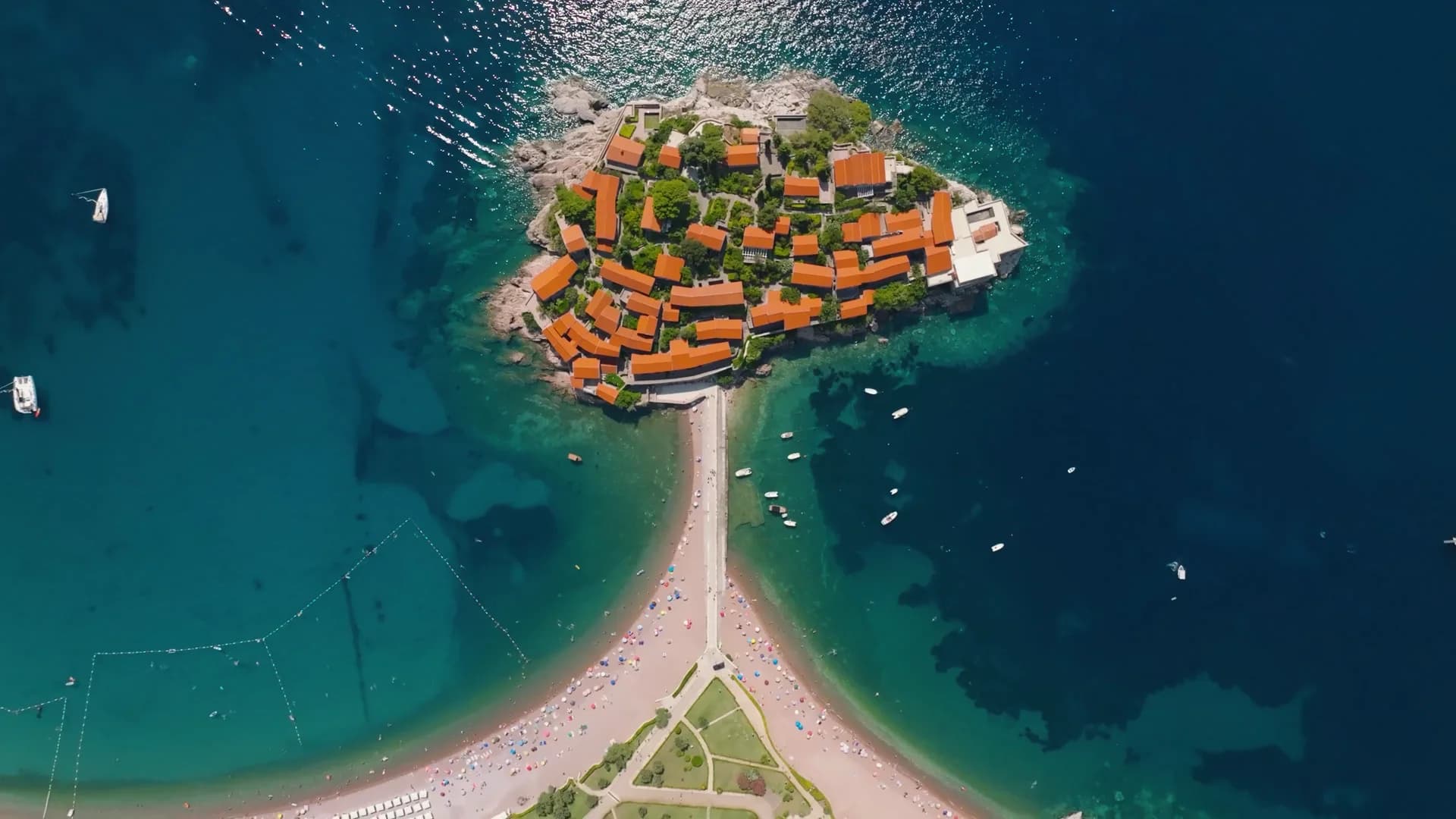
Sveti Stefan
300-metarski pojas ružičasto-crvenog šljunka na javnoj strani prevlake Svetog Stefana, sa utvrđenim ostrvom koje ispunjava svaki kadar.
- Podloga
- pijesak i sitni šljunak
- Ulaz u more
- ulaz u more umjeren
- Karakter
- uređena
- Dužina
- 300 m

Budvanska rivijera
Queen's BeachKraljičina plaža
Uvala od svijetlog pijeska i šljunka u parku Miločer, nazvana po kraljici Mariji 1930-ih godina, ponovo rezervisana za goste Amana od jula 2026.
- Podloga
- pijesak i sitni šljunak
- Ulaz u more
- ulaz u more blag
- Karakter
- uređena
- Dužina
- 100–200 m
Budvanska rivijera
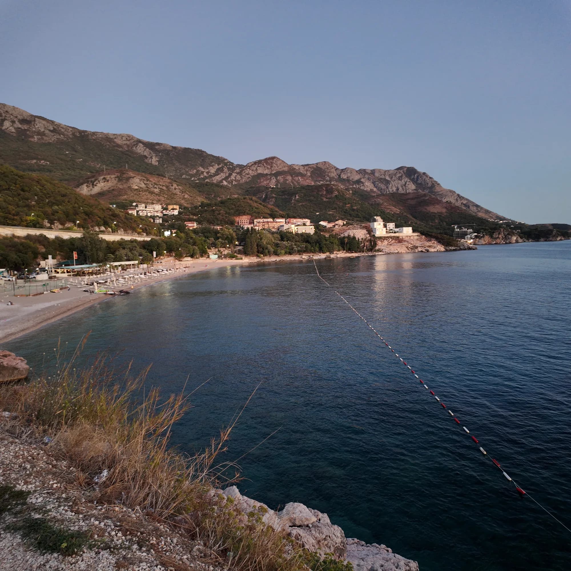
Kamenovo
Luk od 340 metara pijeska i sitnog šljunka do kojeg se stiže kroz tunel u stijeni, sa najčistijim zvaničnim rezultatima vode na rivijeri.
- Podloga
- pijesak i sitni šljunak
- Ulaz u more
- ulaz u more blag
- Karakter
- uređena
- Dužina
- 330–350 m

Hercegnovska rivijera
Žanjiceuvala Žanjic
300-metarska uvala bijelog šljunka blizu vrha Luštice, dvadeset minuta čamcem od Herceg Novog i polazna tačka za Plavu špilju.
- Podloga
- šljunak
- Ulaz u more
- ulaz u more umjeren
- Karakter
- uređena
- Dužina
- 300 m
Budvanska rivijera
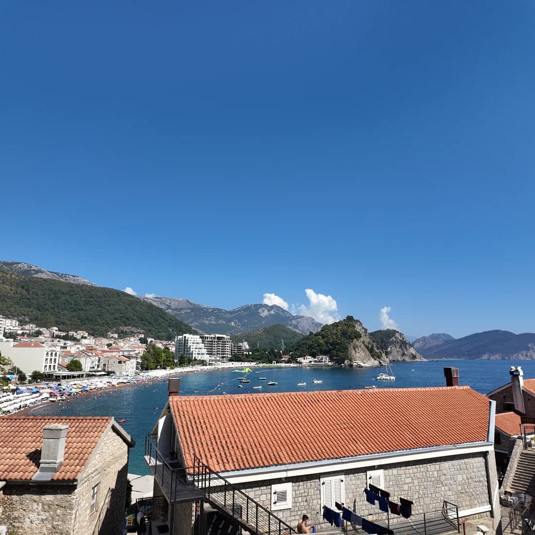
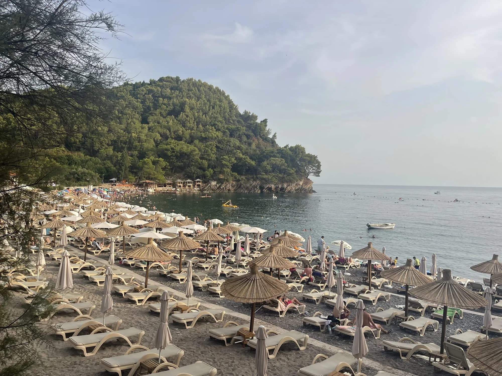
PetrovacPetrovačka plaža
Polumjesečasta plaža od 600 metara, crvenkastog pijeska i sitnog šljunka, sa gradskim šetalištem duž cijele dužine i dva ostrvca sa kapelama u moru.
- Podloga
- pijesak i sitni šljunak
- Ulaz u more
- ulaz u more blag
- Karakter
- uređena
- Dužina
- 600 m
Budvanska rivijera
Lučice
Uvala od 220 metara zlatnog pijeska između dva borova rta, petnaest minuta hoda od Petrovca, sa Plavom zastavicom 2026. godine.
- Podloga
- pijesak i sitni šljunak
- Ulaz u more
- ulaz u more blag
- Karakter
- uređena
- Dužina
- 220–250 m

Hercegnovska rivijera
Mirišta
Šljunkovita uvala od 200 metara, deset minuta obalnom stazom od Žanjica, ispod tvrđave Arza, sa drvećem nad zaleđem plaže i tek djelićem čamaca.
- Podloga
- šljunak
- Ulaz u more
- ulaz u more umjeren
- Karakter
- uređeni i slobodni djelovi
- Dužina
- 200 m
Ulcinjska rivijera
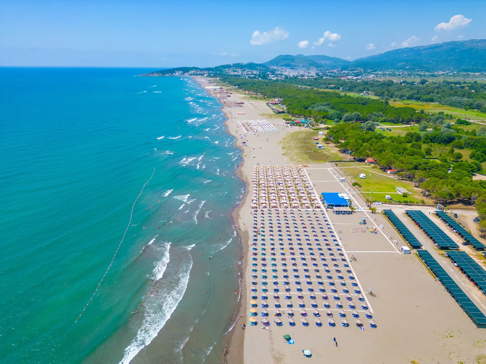
Velika plažaLong Beach
Dvanaest do trinaest kilometara sitnog tamnog pijeska od Port Milene do ušća Bojane, plitko daleko od obale, i preplavljeno termalnim vjetrom svakog ljetnjeg poslijepodneva.
- Podloga
- sitni pijesak
- Ulaz u more
- ulaz u more blag
- Karakter
- uređeni i slobodni djelovi
- Dužina
- 12–13 km
Ulcinjska rivijera
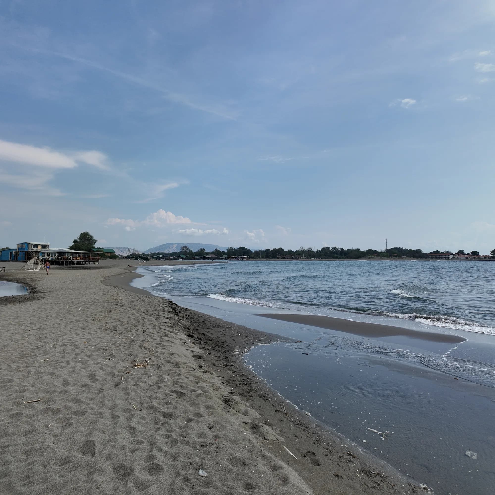
Ada Bojana
Trougaono ostrvo finog pijeska na ušću Bojane, oko 3 km otvorene plaže sa obilježenim naturističkim dijelom, školama kajtserfinga i ribljim restoranima na štulama iznad rijeke.
- Podloga
- sitni pijesak
- Ulaz u more
- ulaz u more blag
- Karakter
- uređeni i slobodni djelovi
- Dužina
- 3 km

Hercegnovska rivijera
Dobreč
100-metarska šljunkovita uvala na spoljnoj strani poluostrva Luštica, do koje ne vodi put: čamac iz Herceg Novog je jedini način da se stigne i jedini način da se ode.
- Podloga
- šljunak
- Ulaz u more
- ulaz u more umjeren
- Karakter
- divlja
- Dužina
- 100 m
Budvanska rivijera
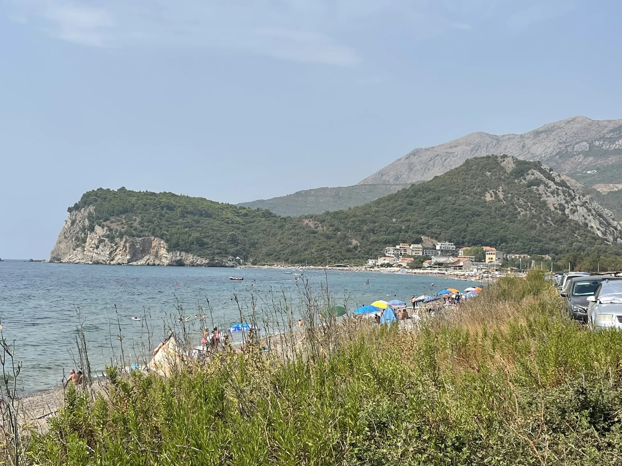
Buljarica
Najduža plaža budvanske rivijere — 2.250 metara pijeska, šljunka i kamena, iza koje se prostire zaštićeno vlažno stanište, gotovo bez ijedne građevine.
- Podloga
- pijesak i sitni šljunak
- Ulaz u more
- ulaz u more umjeren
- Karakter
- uređeni i slobodni djelovi
- Dužina
- 2.2–2.5 km
Tivat i Luštica
Plavi HorizontiPržno (Plavi horizonti)
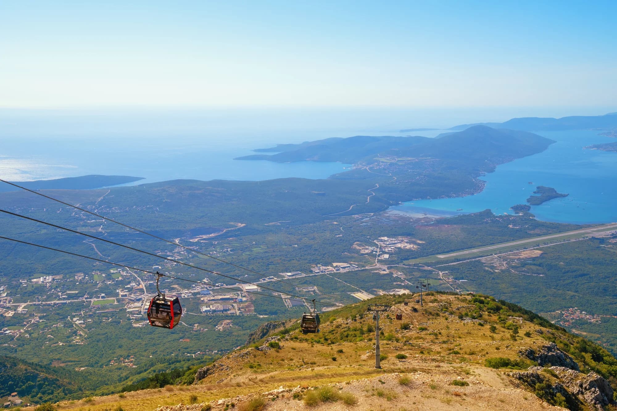
Plavi horizonti: 350 metara sitnog svijetlog pijeska u zaklonjenoj uvali Pržno na južnoj obali Luštice, plitko daleko od obale i borovi u pozadini — najveća pjeskovita plaža u opštini Tivat.
- Podloga
- sitni pijesak
- Ulaz u more
- ulaz u more blag
- Karakter
- uređena
- Dužina
- 350 m

Hercegnovska rivijera
Rose
Šljunkovita obala i aktivni kej u ribarskom selu na vrhu Luštice, do kojeg se stiže trajektom iz Herceg Novog, a ne putem.
- Podloga
- šljunak
- Ulaz u more
- ulaz u more umjeren
- Karakter
- divlja
- Dužina
- 80–150 m
Budvanska rivijera
Rafailovići
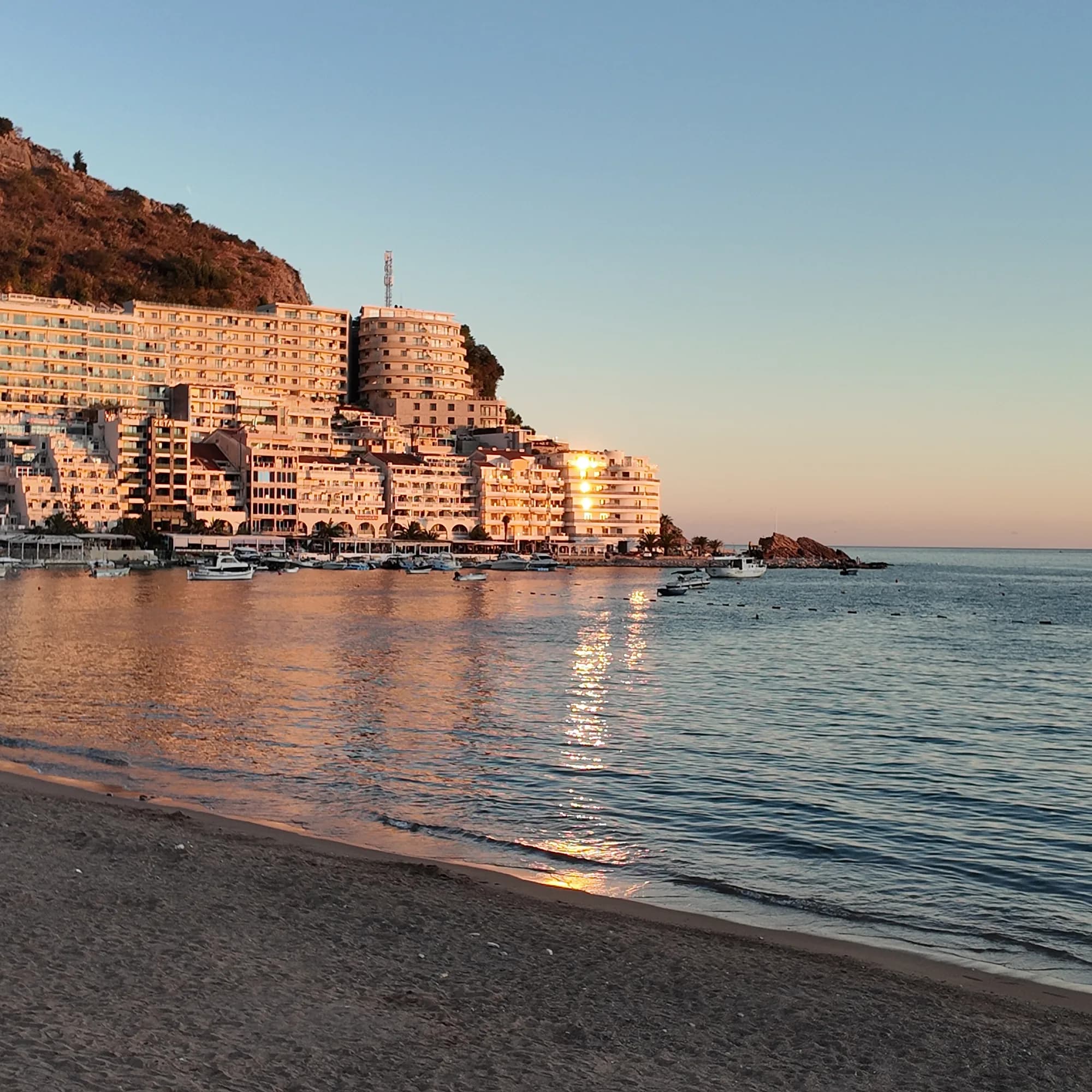
Ribarski kraj bečićkog žala: dva uređena sektora, aktivno pristanište, riblji restorani na keju i tunelska staza ka Kamenovu.
- Podloga
- pijesak i sitni šljunak
- Ulaz u more
- ulaz u more blag
- Karakter
- uređena
- Dužina
- 1.9–2 km
Budvanska rivijera
Miločer BeachPlaža Miločer · Kraljeva plaža
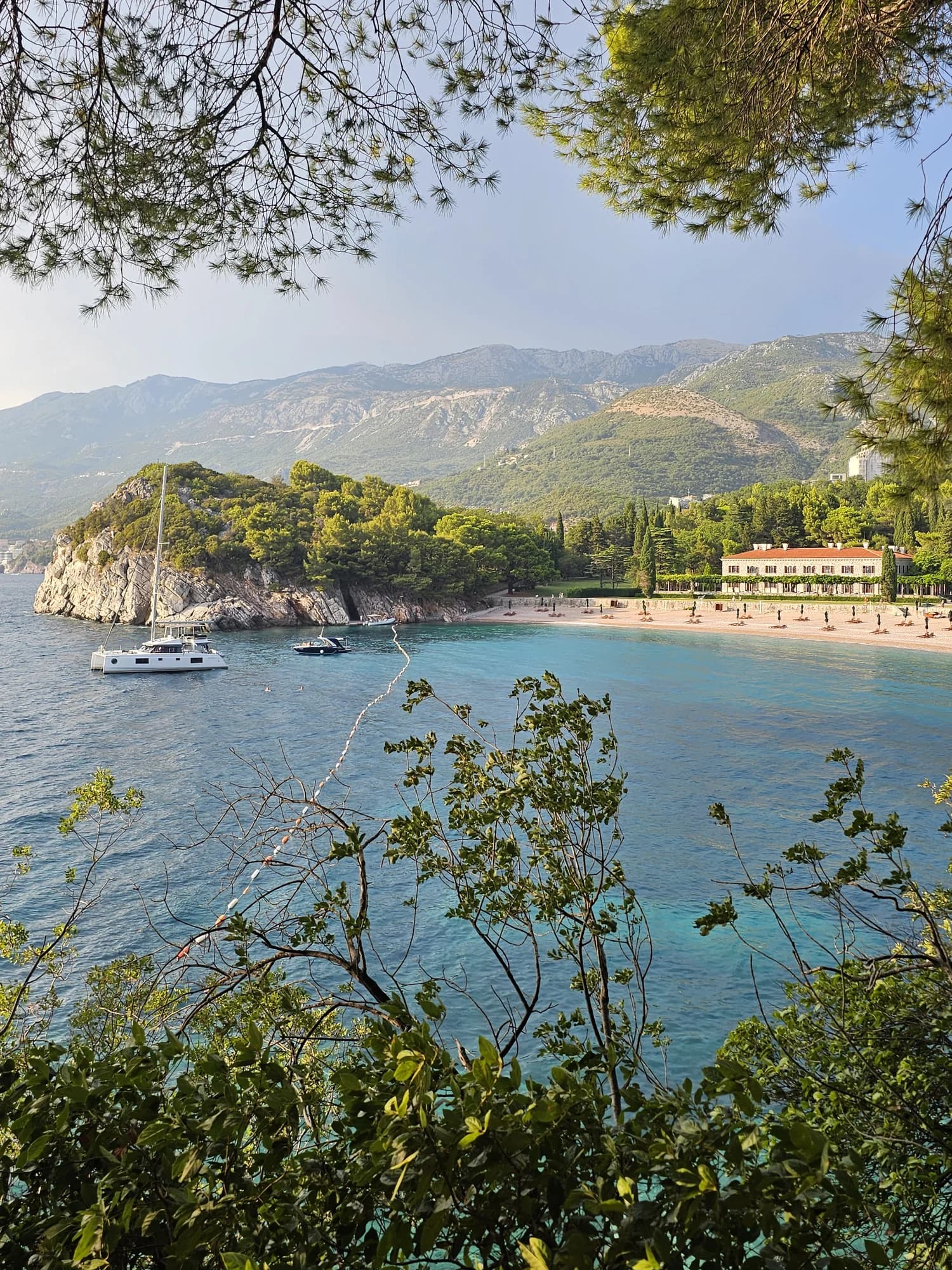
A 280-metre strand of pale pink sand and pebble in front of Villa Miločer, backed by the old royal park and wrapped around a clear turquoise bay.
- Podloga
- pijesak i sitni šljunak
- Ulaz u more
- ulaz u more blag
- Karakter
- uređena
- Dužina
- 280 m

Budvanska rivijera
Drobni PijesakDrobni pijesak
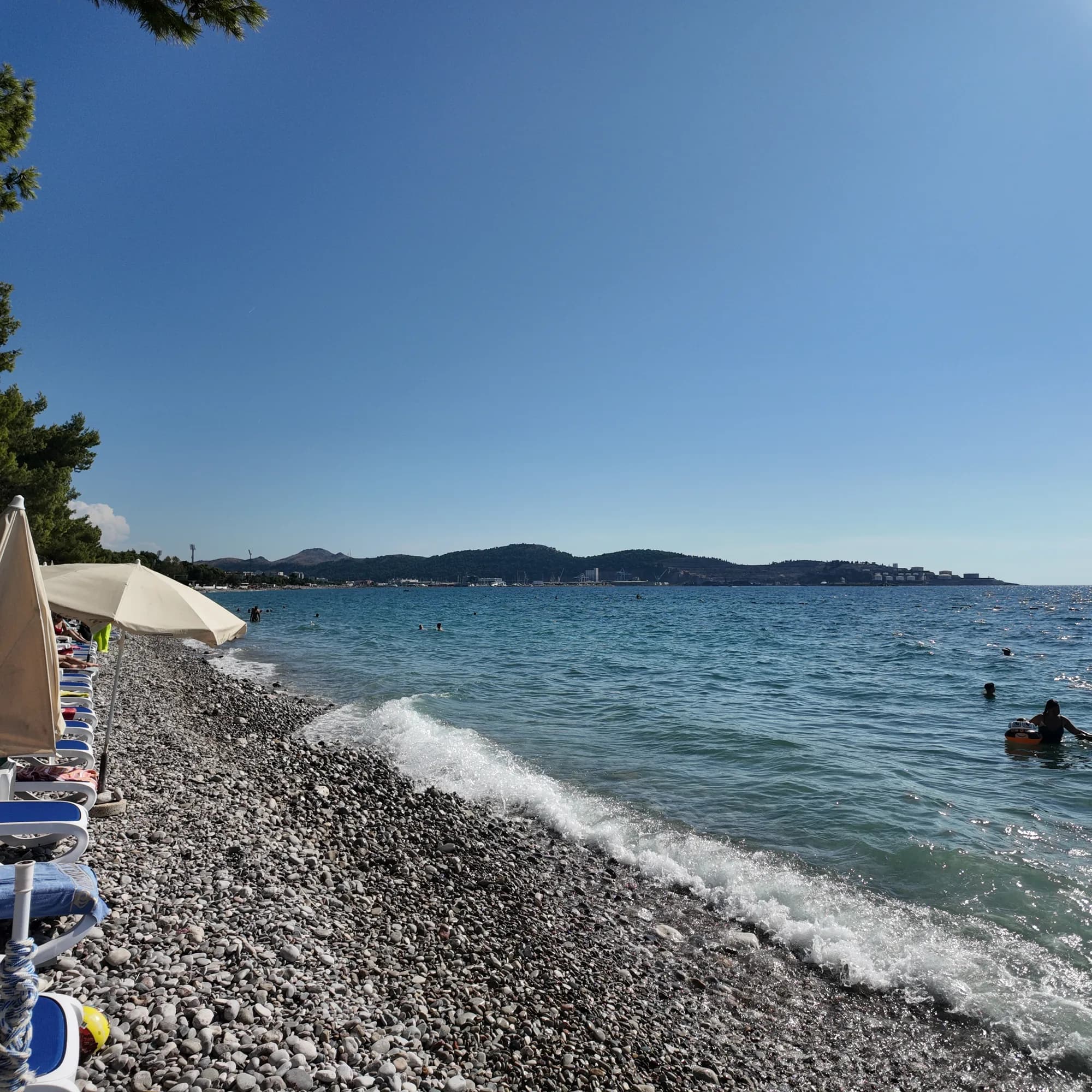
Uvala duga 250 metara, od žućkasto-bijelog pijeska i sitnog šljunka, ispod maslinjaka između Svetog Stefana i Petrovca, sa izvorom slatke vode na samoj plaži.
- Podloga
- pijesak i sitni šljunak
- Ulaz u more
- ulaz u more umjeren
- Karakter
- uređeni i slobodni djelovi
- Dužina
- 250 m
Barska rivijera
Žukotrlica
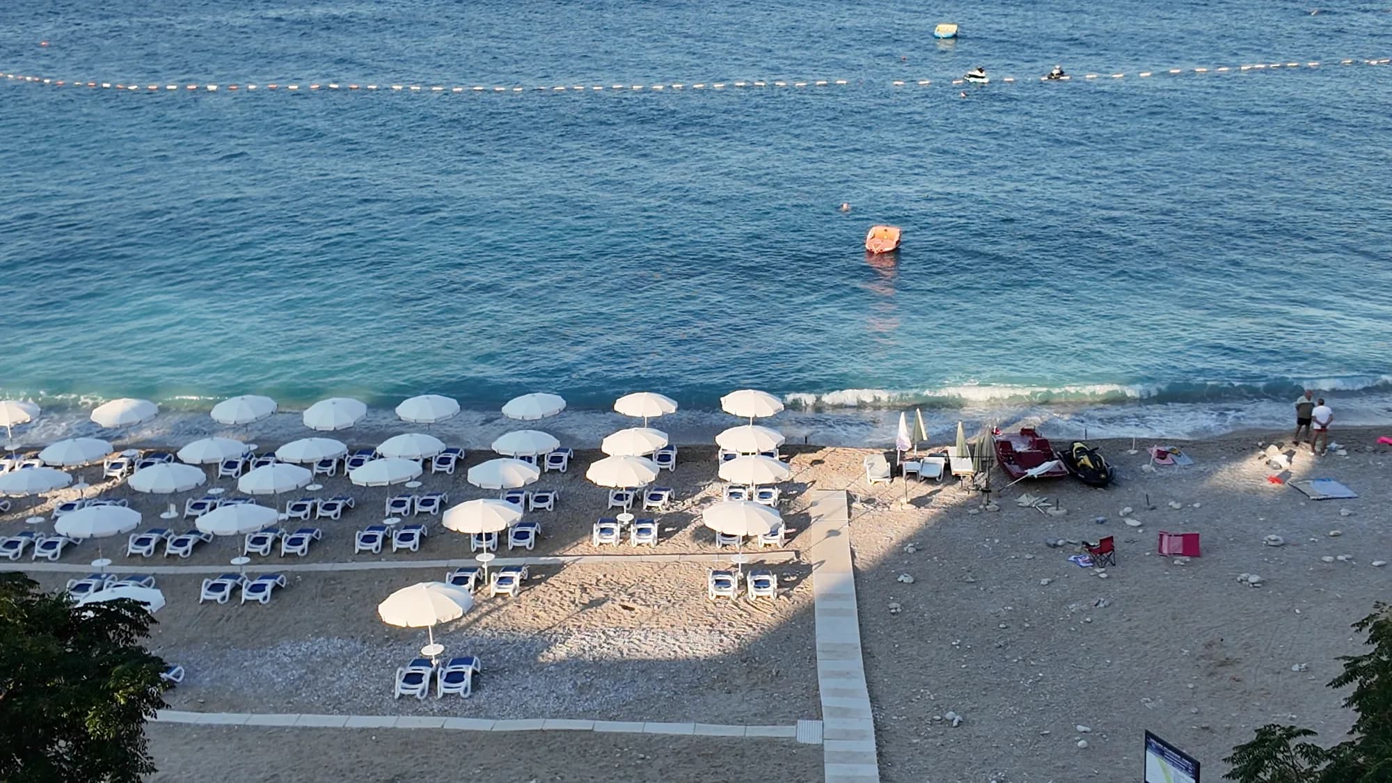
Kilometar šljunka pod zrelim alepskim borovima na sjevernom kraju barske obale, početak 3,6 km duge Kraljeve šetnice i gradska plaža koju koriste mještani.
- Podloga
- šljunak
- Ulaz u more
- ulaz u more umjeren
- Karakter
- uređeni i slobodni djelovi
- Dužina
- 1000 m
Barska rivijera
Veliki PijesakVeliki pijesak, Dobra Voda
Luk plaže dug 380–480 m, od šljunka sa pjeskovitim dijelovima, ostrvce udaljeno 23 m od obale, i zalazak sunca koji u svakom mjesecu u godini pada na otvorenu vodu.
- Podloga
- šljunak
- Ulaz u more
- ulaz u more umjeren
- Karakter
- uređena
- Dužina
- 380–480 m