Der Strandatlas
Sonnenuntergang über dem Meer
19 der 39 Strände im Atlas.
Riviera von Budva
BečićiBečićka plaža
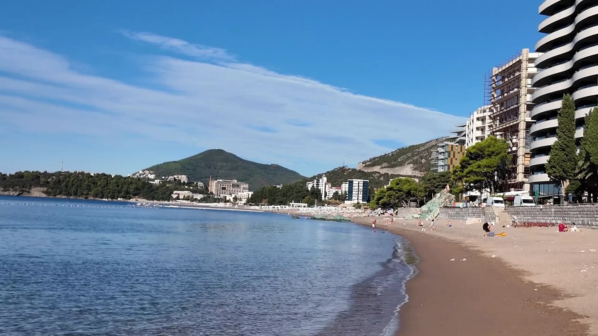
Fast zwei Kilometer feiner Sand und Kies mit flachem Uferbereich, sechs Konzessionen mit Blauer Flagge und ein Paris Grand Prix aus dem Jahr 1935.
- Untergrund
- Sand und feiner Kies
- Einstieg
- einstieg flach
- Charakter
- bewirtschaftete und freie Abschnitte
- Länge
- 1.9–2 km
Riviera von Budva
Sveti Stefan
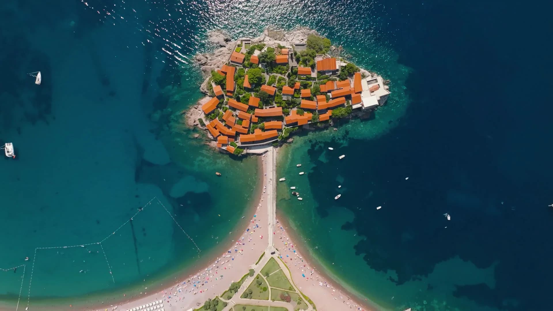
Ein 300 Meter langer Strand aus rosarotem Kies auf der öffentlichen Seite des Damms von Sveti Stefan, mit der befestigten Insel, die jedes Bild ausfüllt.
- Untergrund
- Sand und feiner Kies
- Einstieg
- einstieg mäßig
- Charakter
- bewirtschaftet
- Länge
- 300 m

Riviera von Budva
Queen's BeachKraljičina plaža
Eine Bucht aus hellem Sand und Kies im Park von Miločer, in den 1930er-Jahren nach Königin Marija benannt und seit Juli 2026 wieder den Gästen des Aman vorbehalten.
- Untergrund
- Sand und feiner Kies
- Einstieg
- einstieg flach
- Charakter
- bewirtschaftet
- Länge
- 100–200 m
Riviera von Budva
Kamenovo
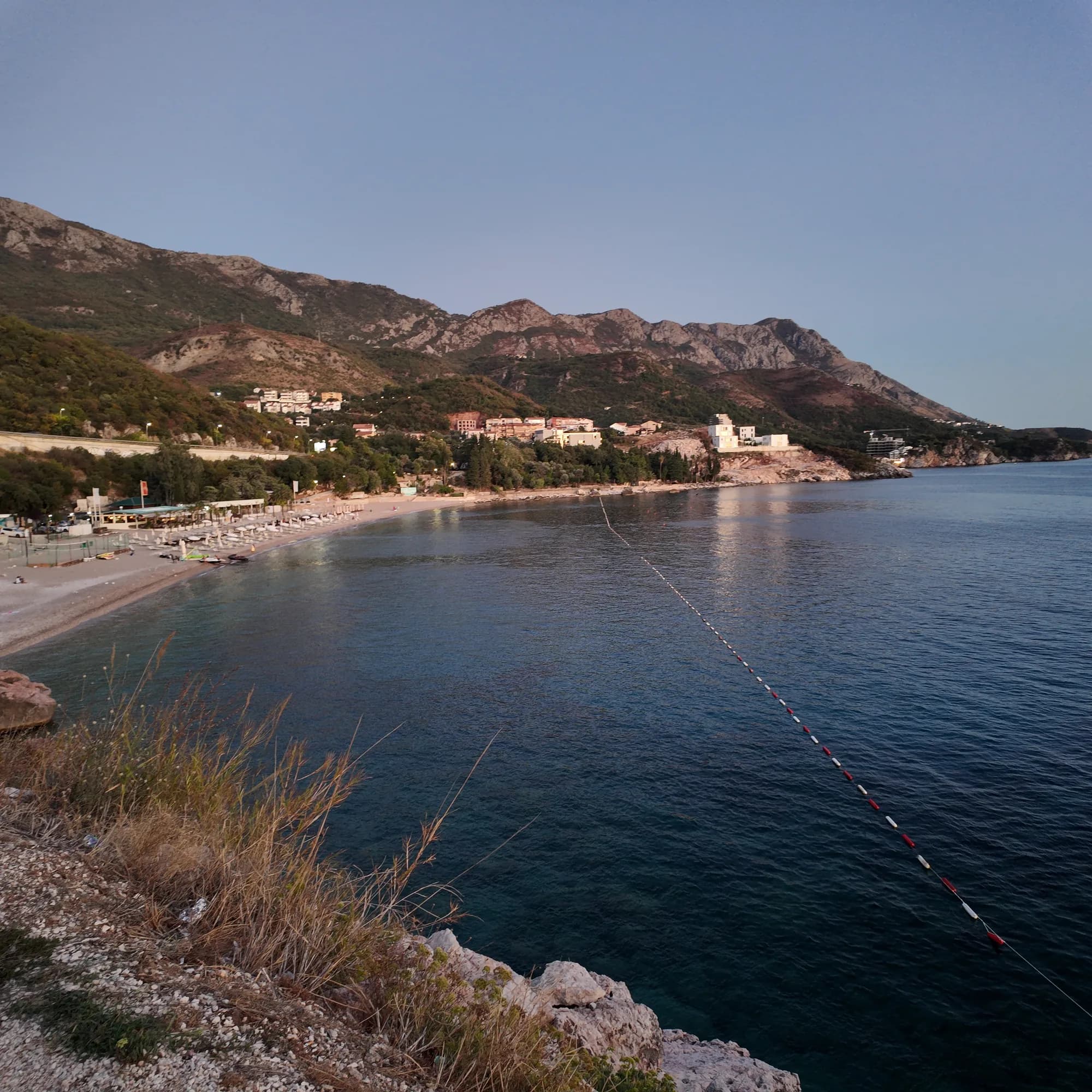
Ein 340 Meter langer Bogen aus Sand und feinem Kies, erreichbar durch einen Tunnel im Fels, mit den saubersten offiziellen Wasserwerten der Riviera.
- Untergrund
- Sand und feiner Kies
- Einstieg
- einstieg flach
- Charakter
- bewirtschaftet
- Länge
- 330–350 m

Riviera von Herceg Novi
Žanjiceuvala Žanjic
Eine 300 Meter lange Bucht aus weißem Kies nahe der Spitze Lušticas, zwanzig Bootsminuten von Herceg Novi entfernt und Ausgangspunkt für die Blaue Grotte.
- Untergrund
- Kies
- Einstieg
- einstieg mäßig
- Charakter
- bewirtschaftet
- Länge
- 300 m
Riviera von Budva
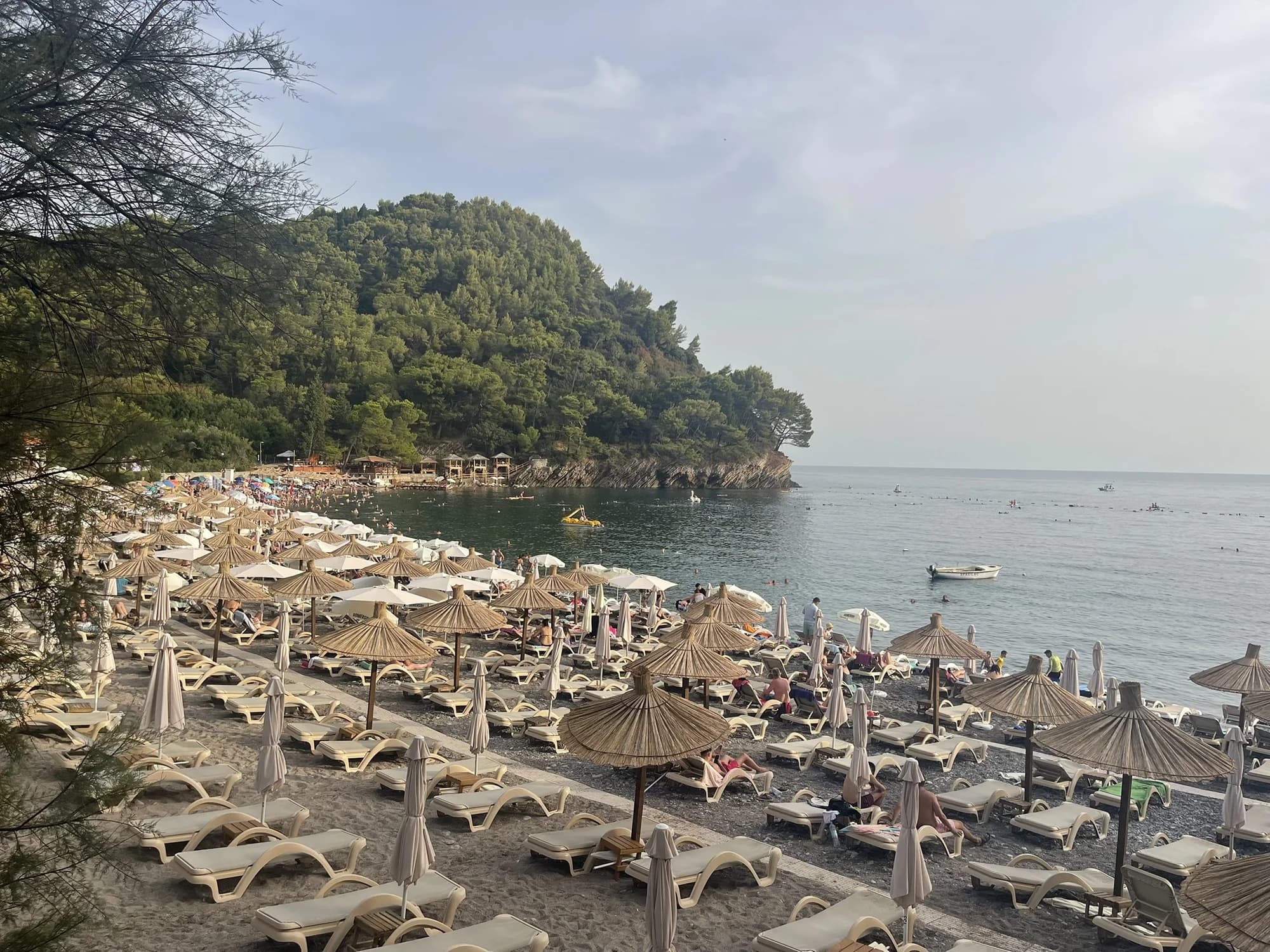
PetrovacPetrovačka plaža
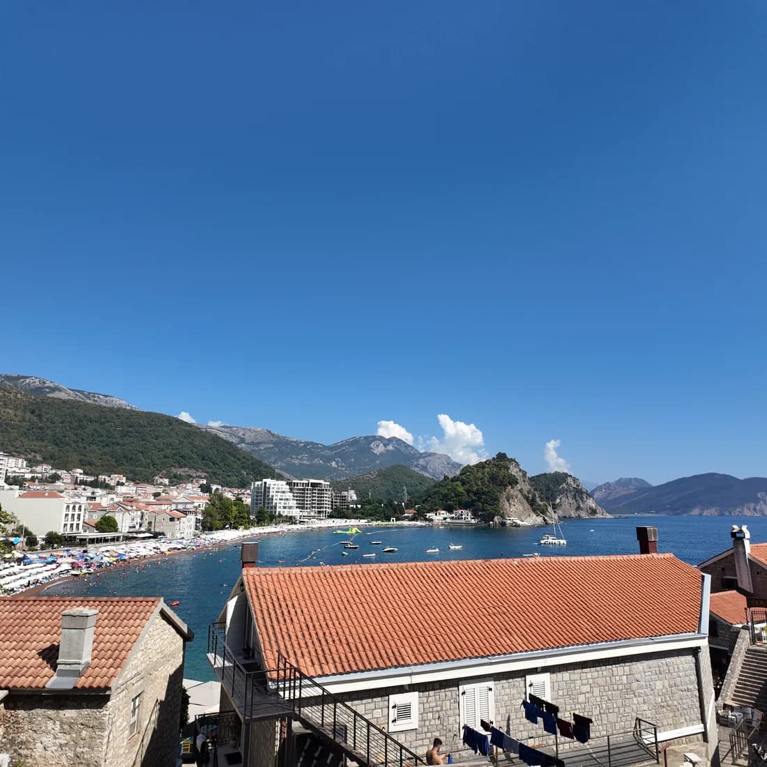
Eine 600 Meter lange Sichel aus rötlichem Sand und feinem Kies mit einer Stadtpromenade über die gesamte Länge und zwei kapellenbekrönten Inselchen vor der Küste.
- Untergrund
- Sand und feiner Kies
- Einstieg
- einstieg flach
- Charakter
- bewirtschaftet
- Länge
- 600 m
Riviera von Budva
Lučice
Eine 220 Meter lange Bucht aus goldenem Sand zwischen zwei mit Pinien bewachsenen Landzungen, fünfzehn Minuten zu Fuß von Petrovac entfernt und 2026 mit Blauer Flagge ausgezeichnet.
- Untergrund
- Sand und feiner Kies
- Einstieg
- einstieg flach
- Charakter
- bewirtschaftet
- Länge
- 220–250 m

Riviera von Herceg Novi
Mirišta
Die 200 Meter lange Kiesbucht, zehn Minuten auf dem Küstenweg von Žanjice entfernt, unterhalb des Forts Arza, mit Bäumen über dem hinteren Strandbereich und einem Bruchteil der Boote.
- Untergrund
- Kies
- Einstieg
- einstieg mäßig
- Charakter
- bewirtschaftete und freie Abschnitte
- Länge
- 200 m
Riviera von Ulcinj
Velika plažaLong Beach
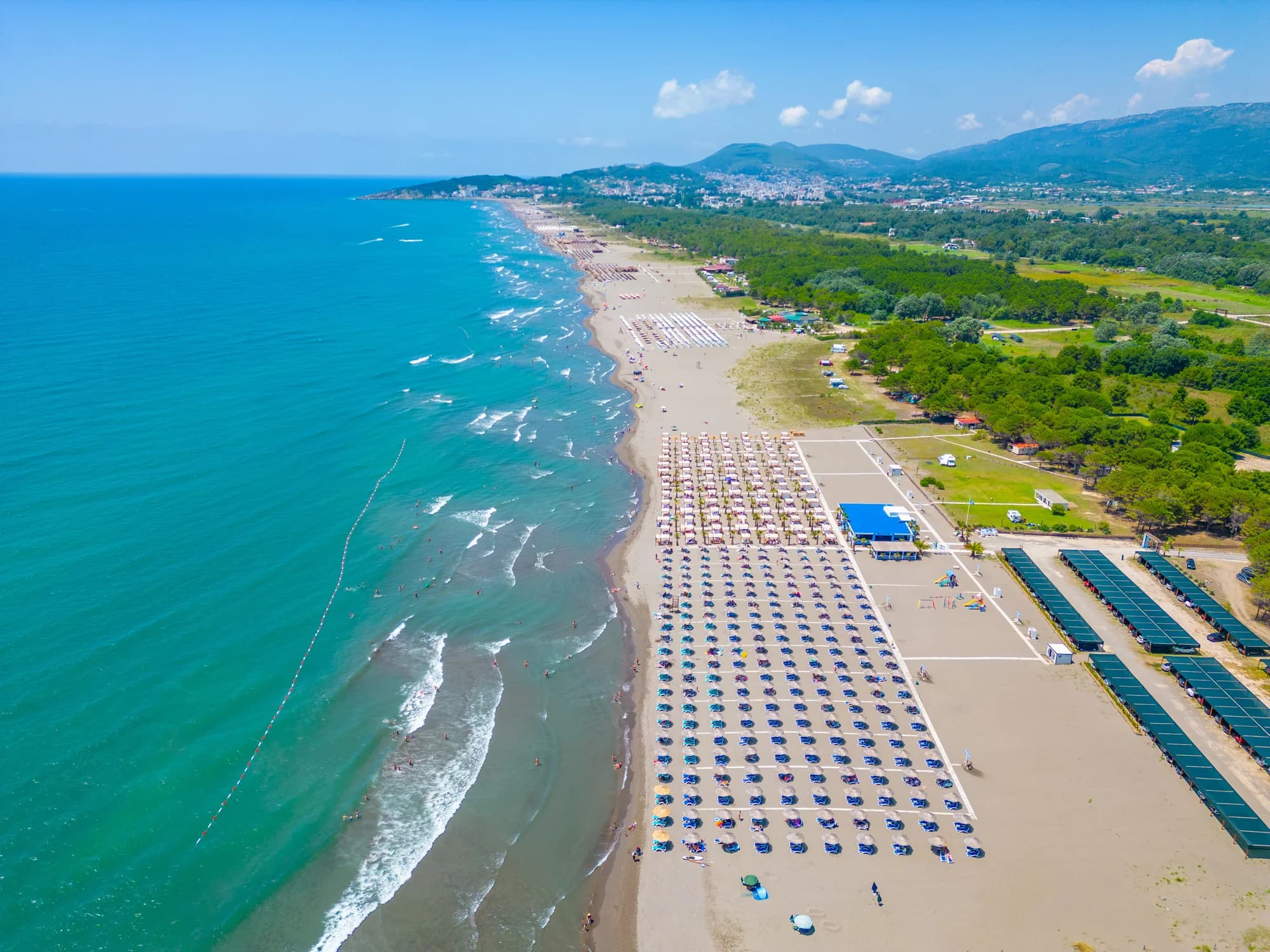
Zwölf bis dreizehn Kilometer feiner, dunkler Sand von Port Milena bis zur Bojana-Mündung, weit hinaus flach und jeden Sommernachmittag vom Thermikwind überstrichen.
- Untergrund
- feiner Sand
- Einstieg
- einstieg flach
- Charakter
- bewirtschaftete und freie Abschnitte
- Länge
- 12–13 km
Riviera von Ulcinj
Ada Bojana
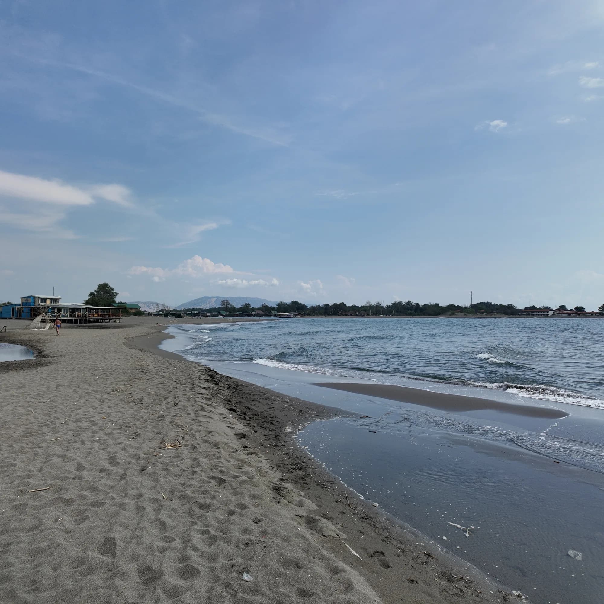
Eine dreieckige Insel aus feinem Sand an der Mündung der Bojana, rund 3 km offener Strand mit ausgeschildertem Naturistenbereich, Kiteschulen und Fischrestaurants auf Stelzen über dem Fluss.
- Untergrund
- feiner Sand
- Einstieg
- einstieg flach
- Charakter
- bewirtschaftete und freie Abschnitte
- Länge
- 3 km

Riviera von Herceg Novi
Dobreč
Eine 100 Meter lange Kiesbucht an der Außenküste von Luštica ohne Straßenzugang: Das Boot aus Herceg Novi ist der einzige Weg hin und zurück.
- Untergrund
- Kies
- Einstieg
- einstieg mäßig
- Charakter
- wild
- Länge
- 100 m
Riviera von Budva
Buljarica
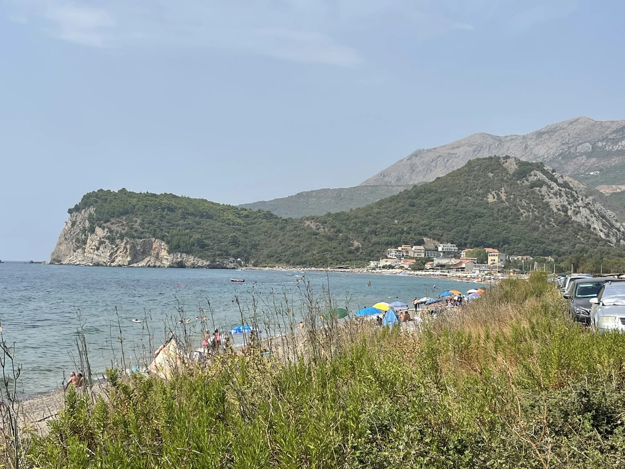
Der längste Strand der Budva-Riviera — 2.250 Meter Sand, Kies und Stein, dahinter ein geschütztes Feuchtgebiet, fast unbebaut.
- Untergrund
- Sand und feiner Kies
- Einstieg
- einstieg mäßig
- Charakter
- bewirtschaftete und freie Abschnitte
- Länge
- 2.2–2.5 km
Tivat und Luštica
Plavi HorizontiPržno (Plavi horizonti)
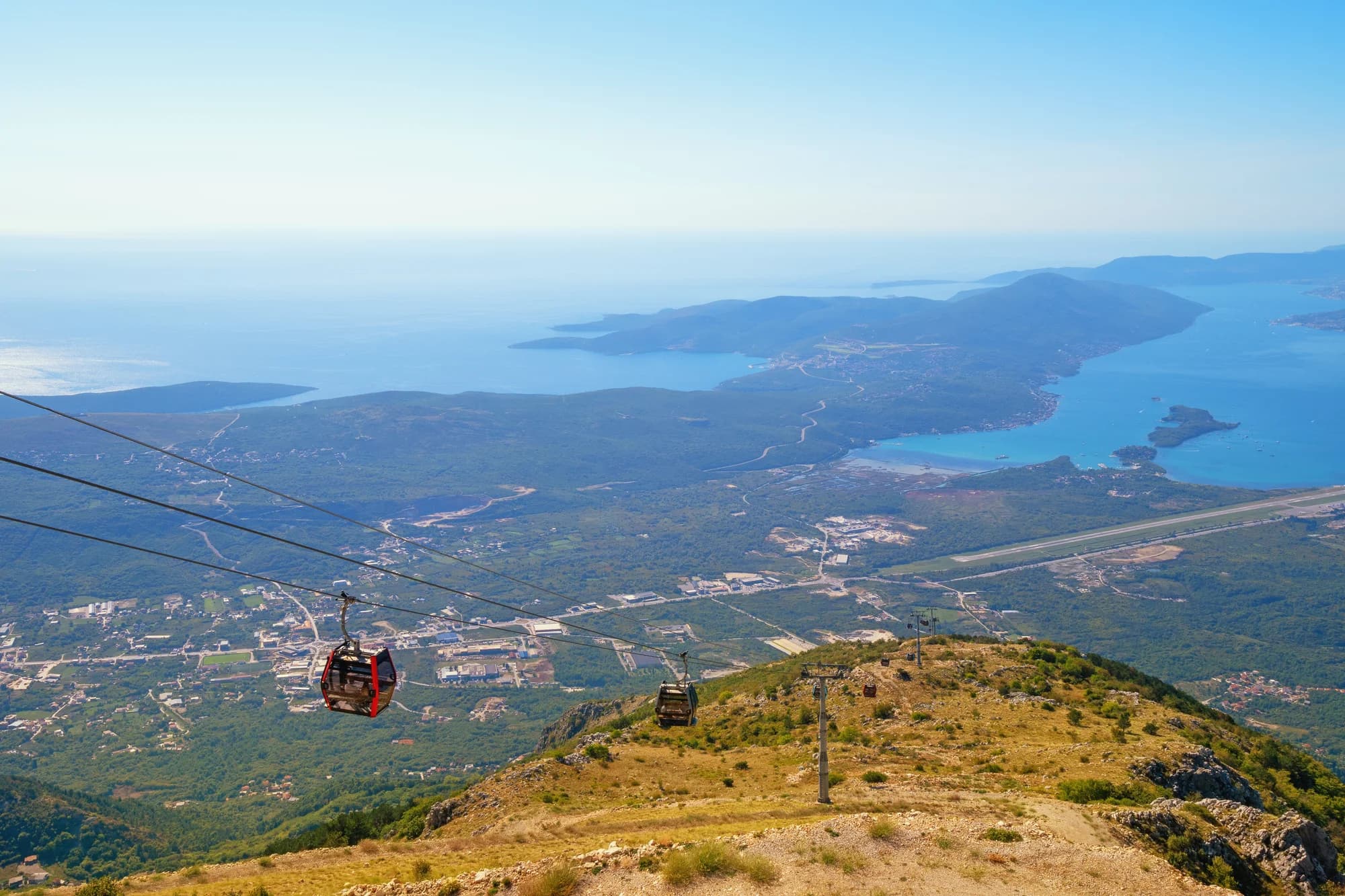
Blue Horizons: 350 Meter feiner, heller Sand in der geschützten Bucht von Pržno an der Südküste Lušticas, weit hinaus flach und von Pinien gesäumt — der größte Sandstrand der Gemeinde Tivat.
- Untergrund
- feiner Sand
- Einstieg
- einstieg flach
- Charakter
- bewirtschaftet
- Länge
- 350 m

Riviera von Herceg Novi
Rose
Ein Kiesstrand und ein aktiver Kai im Fischerdorf an der Spitze Lušticas, erreichbar mit der Fähre aus Herceg Novi statt über die Straße.
- Untergrund
- Kies
- Einstieg
- einstieg mäßig
- Charakter
- wild
- Länge
- 80–150 m
Riviera von Budva
Rafailovići
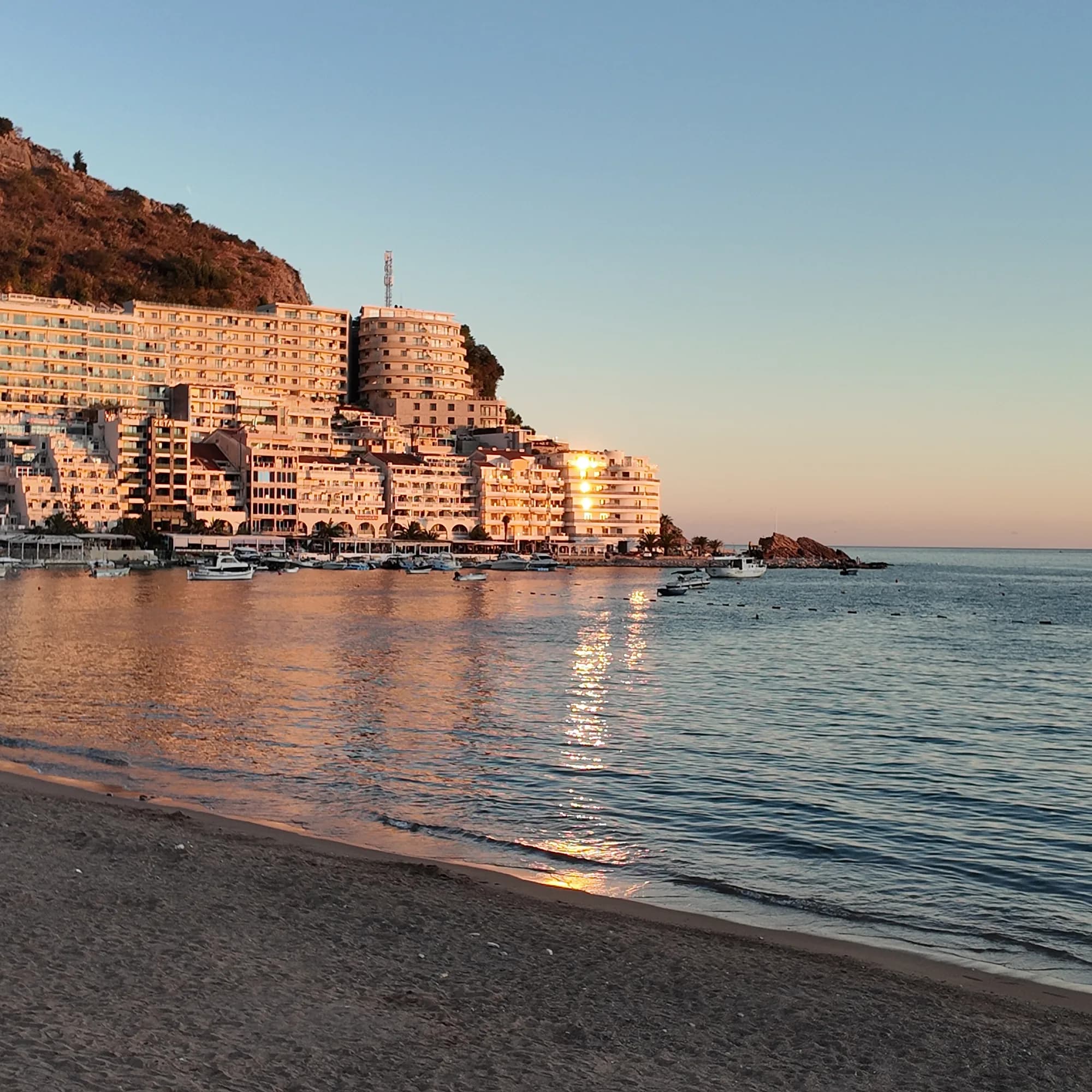
Das Fischerdorf-Ende des Strands von Bečići: zwei bewirtschaftete Sektoren, ein aktiver Anleger, Fischrestaurants am Kai und der Tunnelweg nach Kamenovo.
- Untergrund
- Sand und feiner Kies
- Einstieg
- einstieg flach
- Charakter
- bewirtschaftet
- Länge
- 1.9–2 km
Riviera von Budva
Miločer BeachPlaža Miločer · Kraljeva plaža
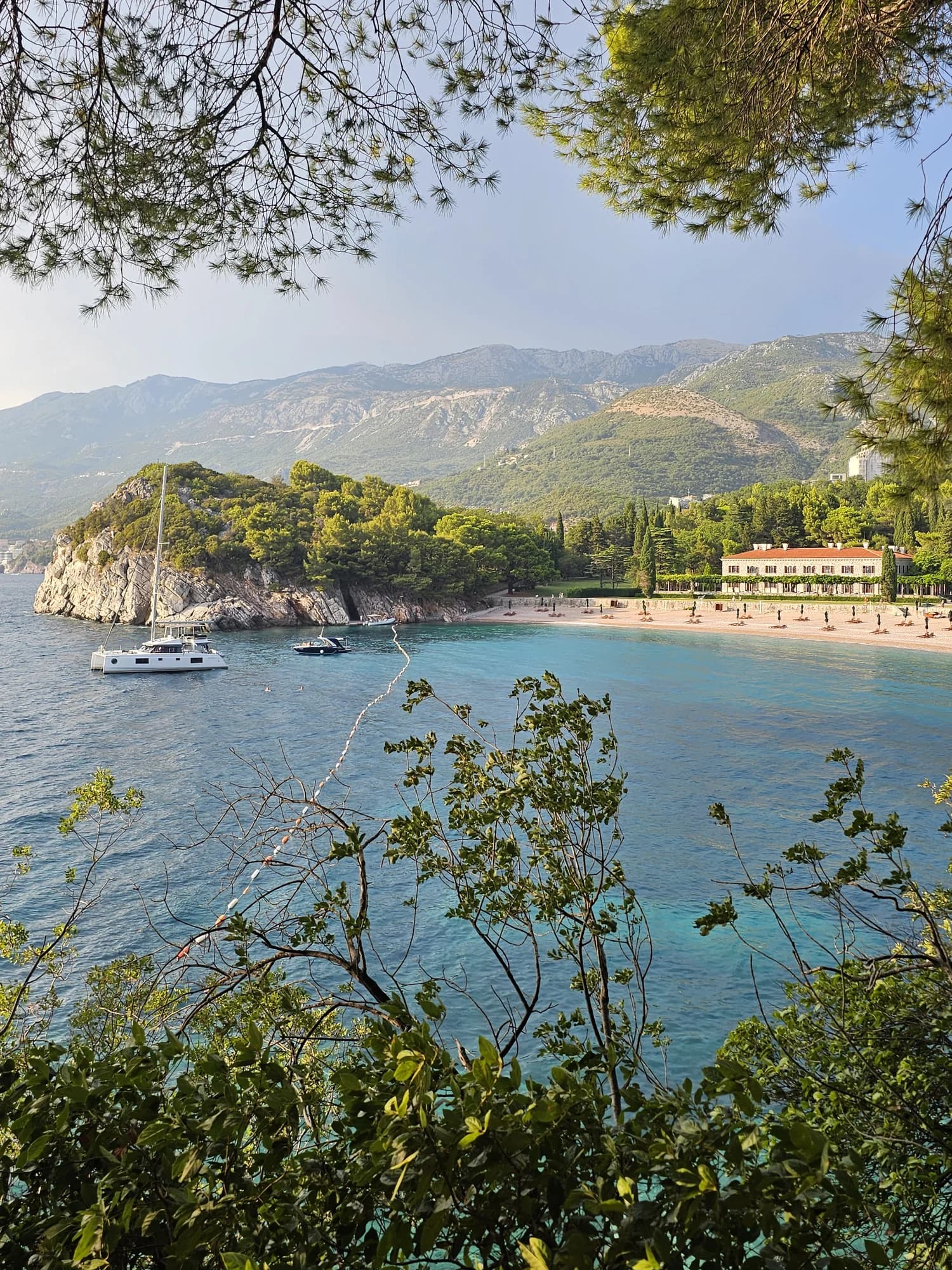
A 280-metre strand of pale pink sand and pebble in front of Villa Miločer, backed by the old royal park and wrapped around a clear turquoise bay.
- Untergrund
- Sand und feiner Kies
- Einstieg
- einstieg flach
- Charakter
- bewirtschaftet
- Länge
- 280 m

Riviera von Budva
Drobni PijesakDrobni pijesak
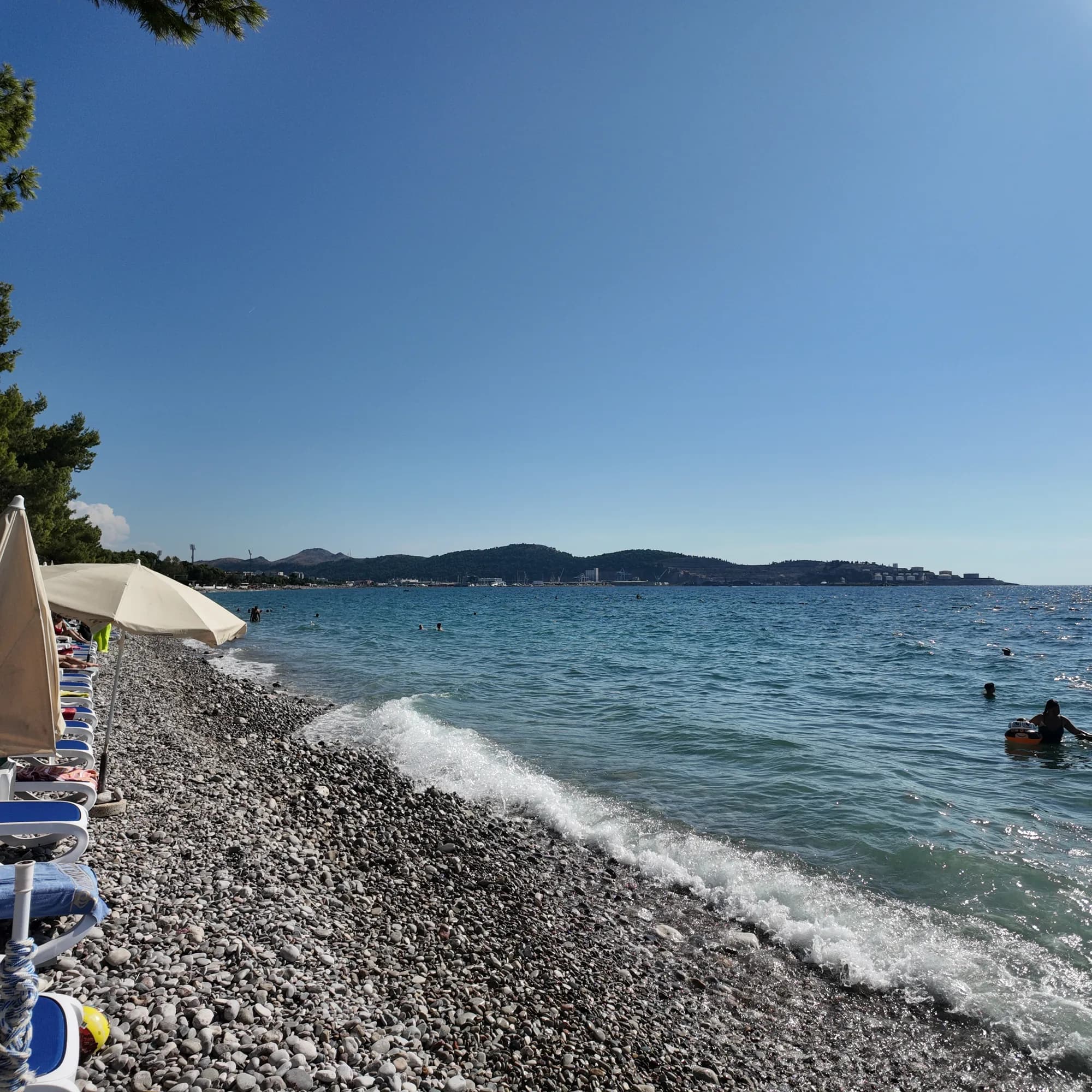
Eine 250 Meter lange Bucht aus gelbweißem Sand und kleinen Kieseln unterhalb der Olivenhaine zwischen Sveti Stefan und Petrovac, mit einer Süßwasserquelle am Strand.
- Untergrund
- Sand und feiner Kies
- Einstieg
- einstieg mäßig
- Charakter
- bewirtschaftete und freie Abschnitte
- Länge
- 250 m
Riviera von Bar
Žukotrlica
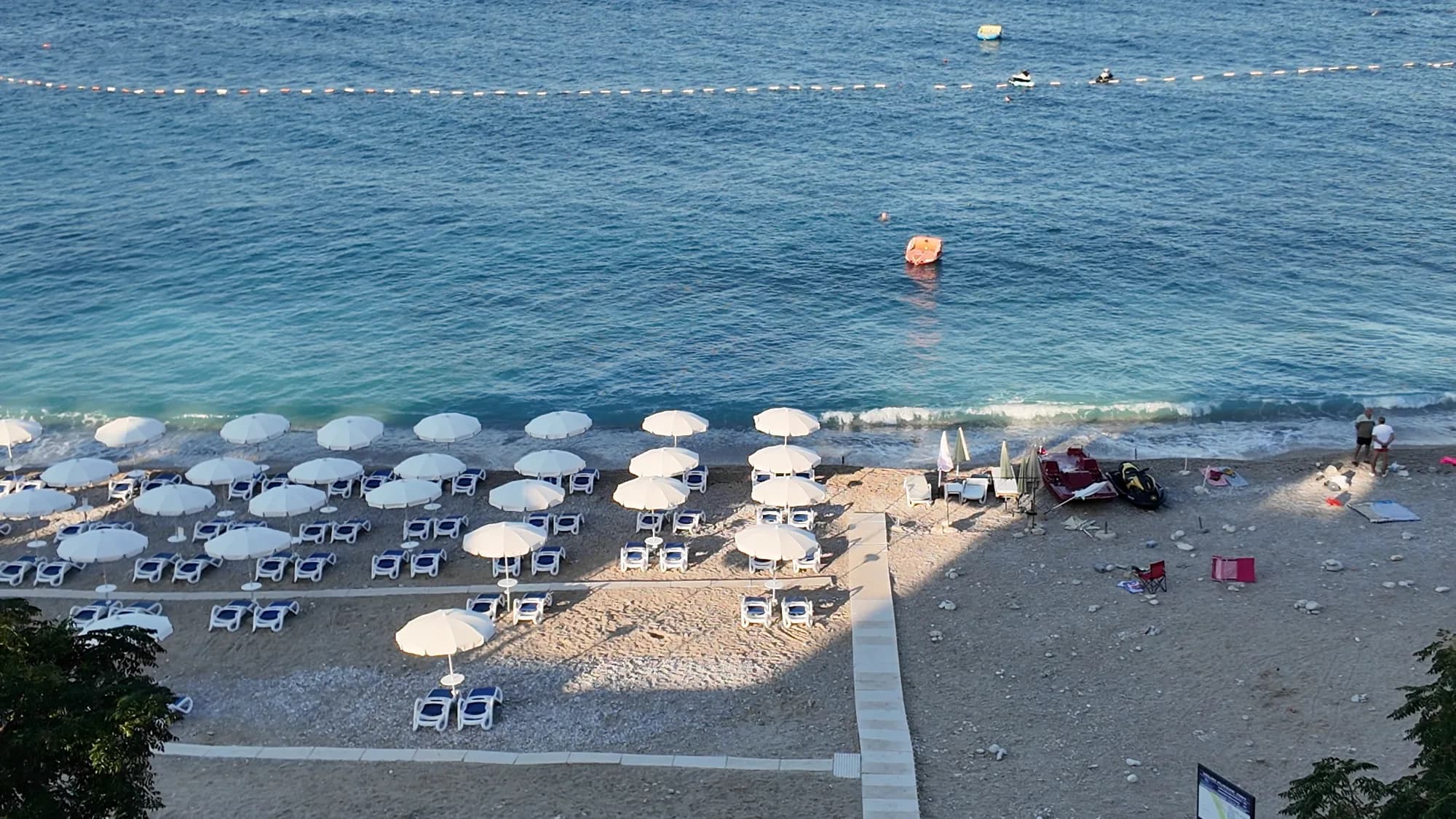
Ein Kilometer Kies unter ausgewachsenen Aleppo-Kiefern am nördlichen Ende der Uferpromenade von Bar, der Beginn der 3,6 km langen Königspromenade und der Stadtstrand, den die Einheimischen nutzen.
- Untergrund
- Kies
- Einstieg
- einstieg mäßig
- Charakter
- bewirtschaftete und freie Abschnitte
- Länge
- 1000 m
Riviera von Bar
Veliki PijesakVeliki pijesak, Dobra Voda
Ein 380–480 m langer Bogen aus Kies mit sandigen Stellen, eine Insel 23 m vor der Küste und ein Sonnenuntergang, der in jedem Monat des Jahres im offenen Wasser landet.
- Untergrund
- Kies
- Einstieg
- einstieg mäßig
- Charakter
- bewirtschaftet
- Länge
- 380–480 m