El atlas de playas
Puesta de sol sobre el mar
19 de las 39 playas del atlas.
Riviera de Budva
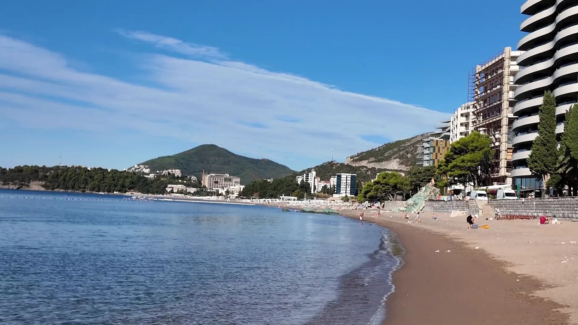
BečićiBečićka plaža
Casi dos kilómetros de arena fina y guijarro con una orilla poco profunda, seis concesiones con Bandera Azul y un Gran Premio de París de 1935.
- Superficie
- arena y guijarro fino
- Entrada
- entrada suave
- Carácter
- zonas organizadas y libres
- Longitud
- 1.9–2 km
Riviera de Budva
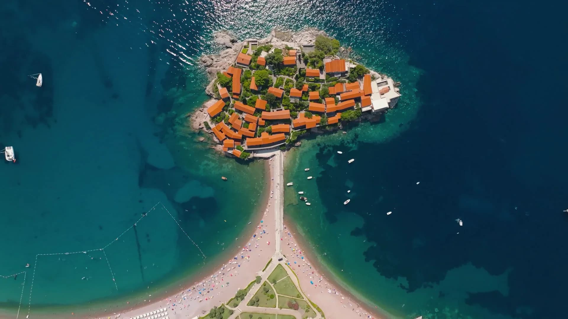
Sveti Stefan
Una franja de 300 metros de guijarro rosa-rojizo en el lado público de la calzada de Sveti Stefan, con la isla fortificada llenando cada plano.
- Superficie
- arena y guijarro fino
- Entrada
- entrada moderada
- Carácter
- organizada
- Longitud
- 300 m

Riviera de Budva
Queen's BeachKraljičina plaža
Una cala de arena pálida y guijarro en el parque de Miločer, bautizada en honor a la reina Marija en los años 1930 y reservada de nuevo para los huéspedes del Aman desde julio de 2026.
- Superficie
- arena y guijarro fino
- Entrada
- entrada suave
- Carácter
- organizada
- Longitud
- 100–200 m
Riviera de Budva
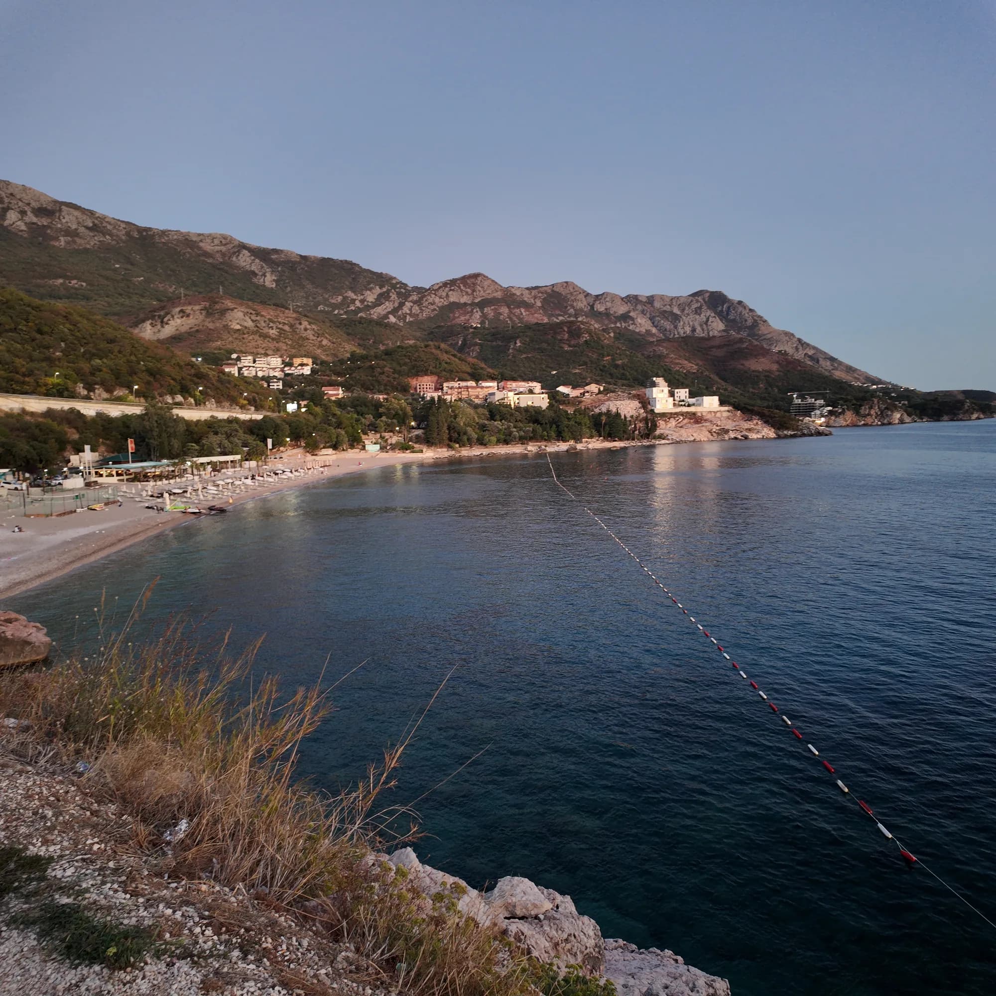
Kamenovo
Un arco de 340 metros de arena y guijarro fino al que se llega por un túnel en la roca, con los mejores resultados oficiales del agua de toda la riviera.
- Superficie
- arena y guijarro fino
- Entrada
- entrada suave
- Carácter
- organizada
- Longitud
- 330–350 m

Riviera de Herceg Novi
Žanjiceuvala Žanjic
Una bahía de guijarro blanco de 300 metros cerca de la punta de Luštica, a veinte minutos en barco desde Herceg Novi y el punto de salida hacia la Cueva Azul.
- Superficie
- guijarros
- Entrada
- entrada moderada
- Carácter
- organizada
- Longitud
- 300 m
Riviera de Budva
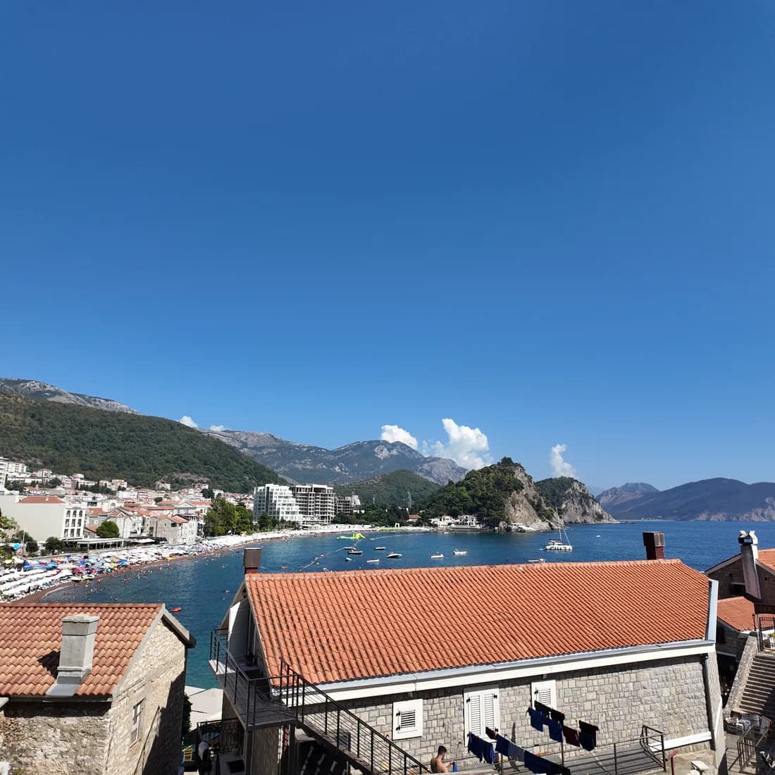
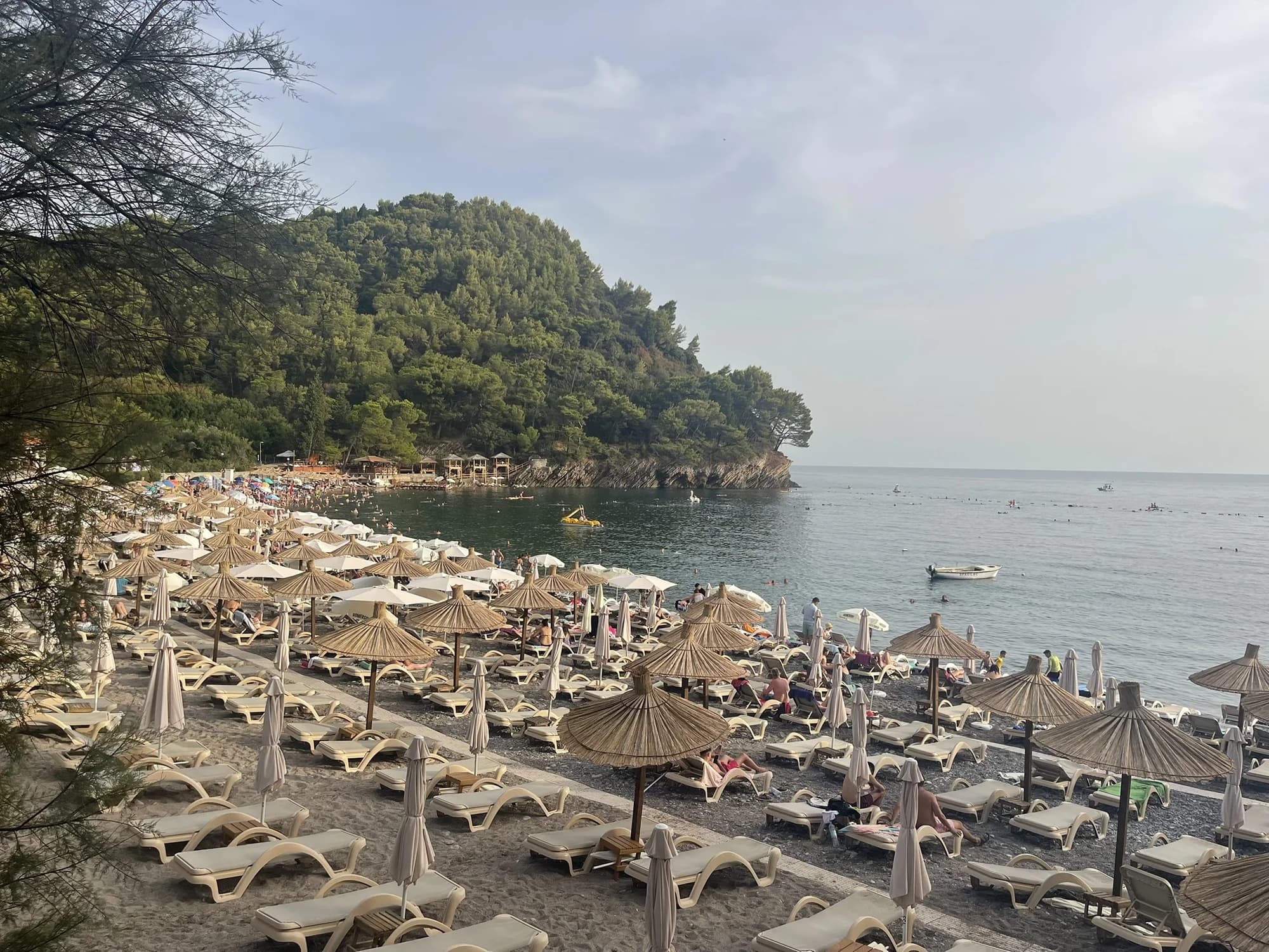
PetrovacPetrovačka plaža
Una media luna de 600 metros de arena rojiza y guijarro fino con un paseo marítimo a lo largo de toda su extensión y dos islotes coronados por capillas frente a la costa.
- Superficie
- arena y guijarro fino
- Entrada
- entrada suave
- Carácter
- organizada
- Longitud
- 600 m
Riviera de Budva
Lučice
Una cala de 220 metros de arena dorada entre dos promontorios de pinos, a quince minutos a pie de Petrovac y con Bandera Azul en 2026.
- Superficie
- arena y guijarro fino
- Entrada
- entrada suave
- Carácter
- organizada
- Longitud
- 220–250 m

Riviera de Herceg Novi
Mirišta
La cala de guijarro de 200 metros a diez minutos por el sendero costero desde Žanjice, bajo el fuerte de Arza, con árboles sobre el fondo de la playa y una fracción de los barcos.
- Superficie
- guijarros
- Entrada
- entrada moderada
- Carácter
- zonas organizadas y libres
- Longitud
- 200 m
Riviera de Ulcinj
Velika plažaLong Beach
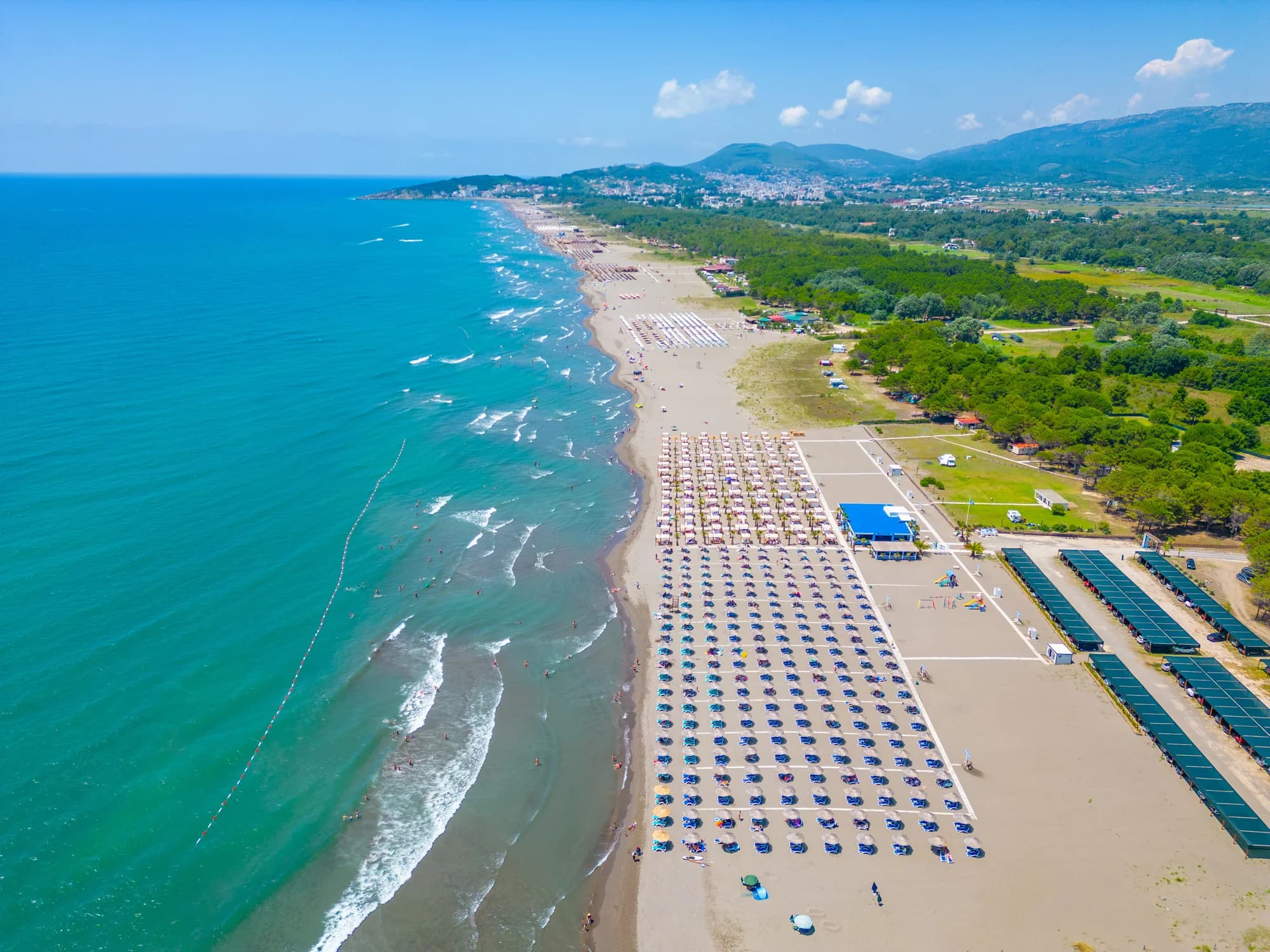
De doce a trece kilómetros de arena oscura fina desde Port Milena hasta la desembocadura del Bojana, poco profunda hasta muy lejos y barrida cada tarde de verano por un viento térmico.
- Superficie
- arena fina
- Entrada
- entrada suave
- Carácter
- zonas organizadas y libres
- Longitud
- 12–13 km
Riviera de Ulcinj
Ada Bojana
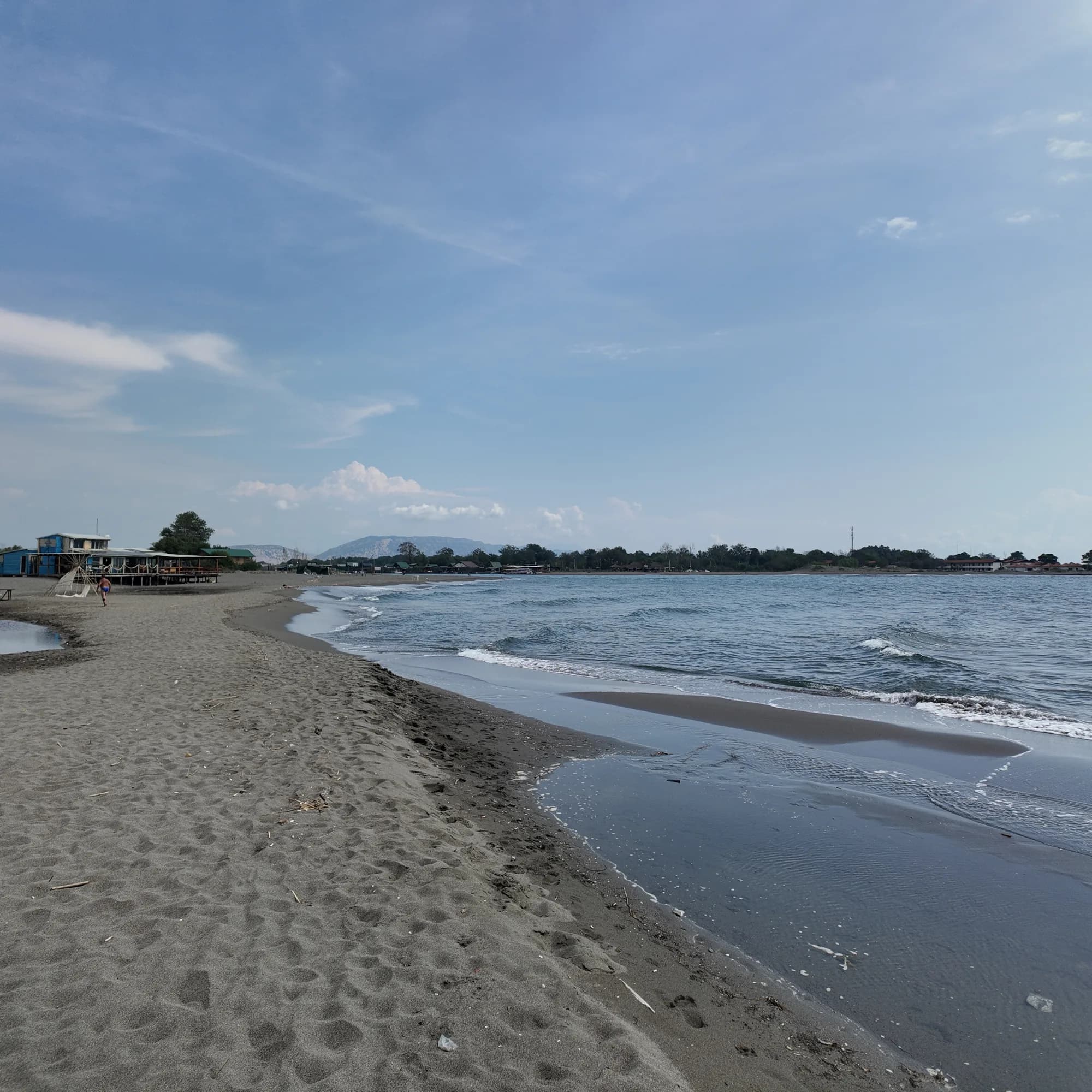
Una isla triangular de arena fina en la desembocadura del Bojana, unos 3 km de playa abierta con una sección naturista señalizada, escuelas de kite y restaurantes de pescado sobre pilotes en el río.
- Superficie
- arena fina
- Entrada
- entrada suave
- Carácter
- zonas organizadas y libres
- Longitud
- 3 km

Riviera de Herceg Novi
Dobreč
Una cala de guijarro de 100 metros en la costa exterior de Luštica sin ninguna carretera de acceso: el barco desde Herceg Novi es la única forma de entrar y de salir.
- Superficie
- guijarros
- Entrada
- entrada moderada
- Carácter
- salvaje
- Longitud
- 100 m
Riviera de Budva
Buljarica
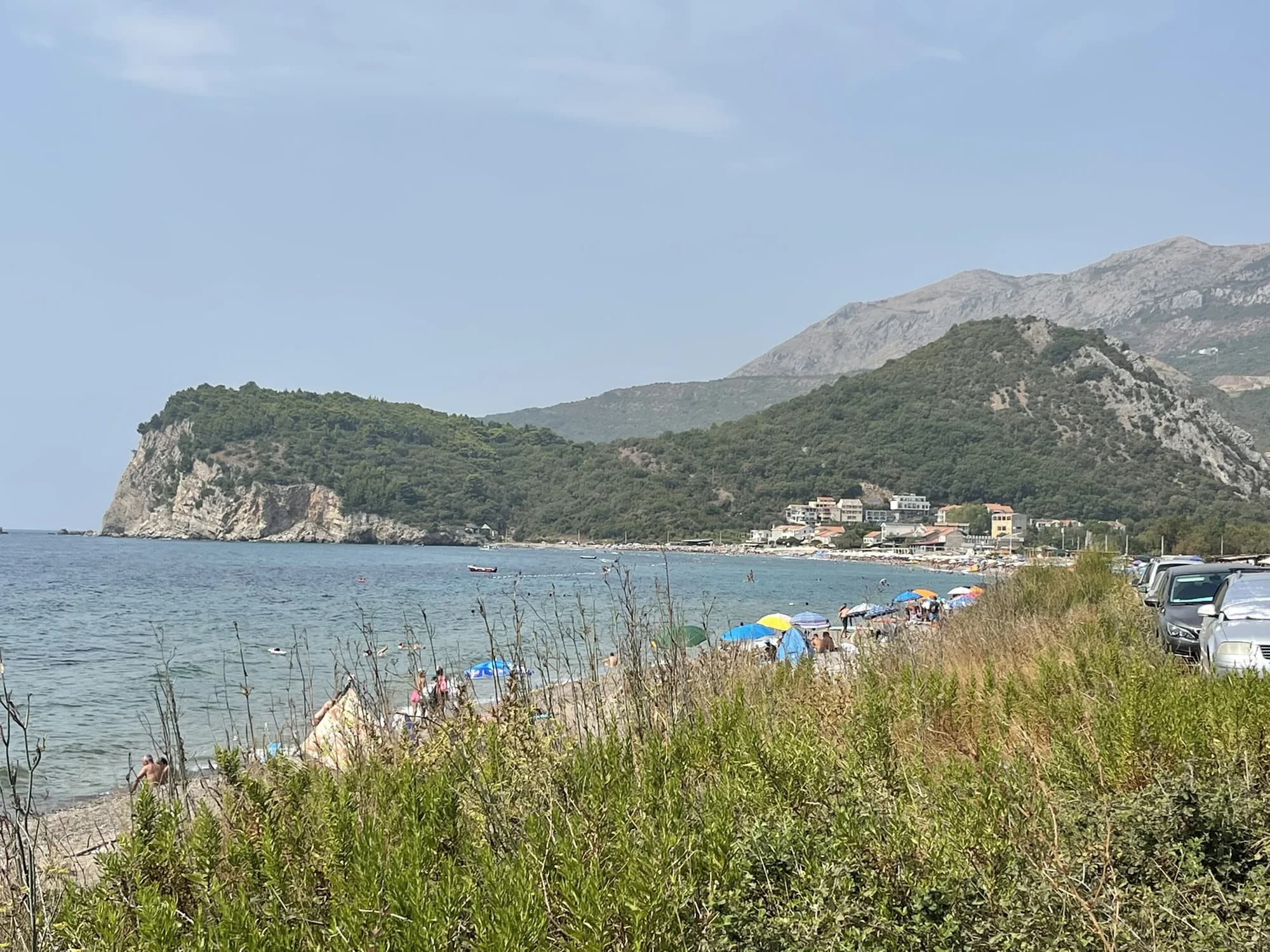
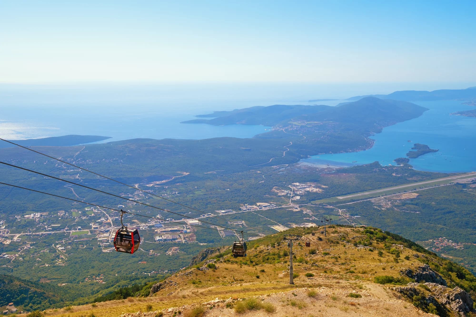
La playa más larga de la riviera de Budva —2,250 metros de arena, grava y piedra respaldados por un humedal protegido, con casi nada construido en ella.
- Superficie
- arena y guijarro fino
- Entrada
- entrada moderada
- Carácter
- zonas organizadas y libres
- Longitud
- 2.2–2.5 km
Tivat y Luštica
Plavi HorizontiPržno (Plavi horizonti)
Blue Horizons: 350 metros de arena fina y pálida en la resguardada bahía de Pržno, en la costa sur de Luštica, poco profunda hasta muy lejos y respaldada por pinos —la mayor playa de arena del municipio de Tivat.
- Superficie
- arena fina
- Entrada
- entrada suave
- Carácter
- organizada
- Longitud
- 350 m

Riviera de Herceg Novi
Rose
Una orilla de guijarro y un muelle en activo en el pueblo pesquero de la punta de Luštica, al que se llega en el ferry desde Herceg Novi y no por carretera.
- Superficie
- guijarros
- Entrada
- entrada moderada
- Carácter
- salvaje
- Longitud
- 80–150 m
Riviera de Budva
Rafailovići
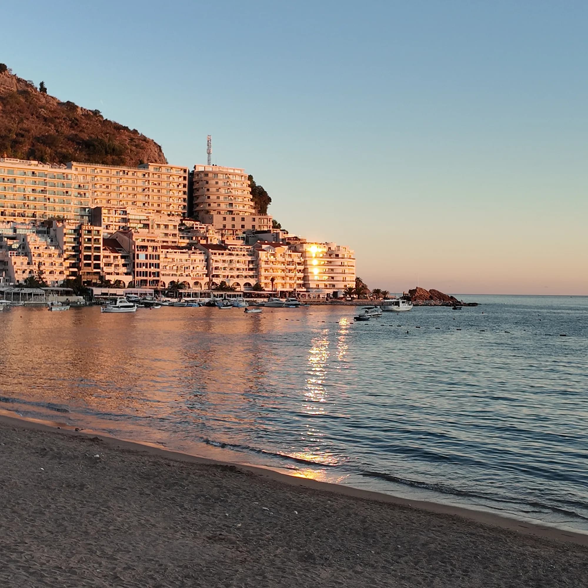
El extremo de pueblo pesquero de la franja de Bečići: dos sectores gestionados, un amarradero en activo, restaurantes de pescado en el muelle y el sendero del túnel hacia Kamenovo.
- Superficie
- arena y guijarro fino
- Entrada
- entrada suave
- Carácter
- organizada
- Longitud
- 1.9–2 km
Riviera de Budva
Miločer BeachPlaža Miločer · Kraljeva plaža
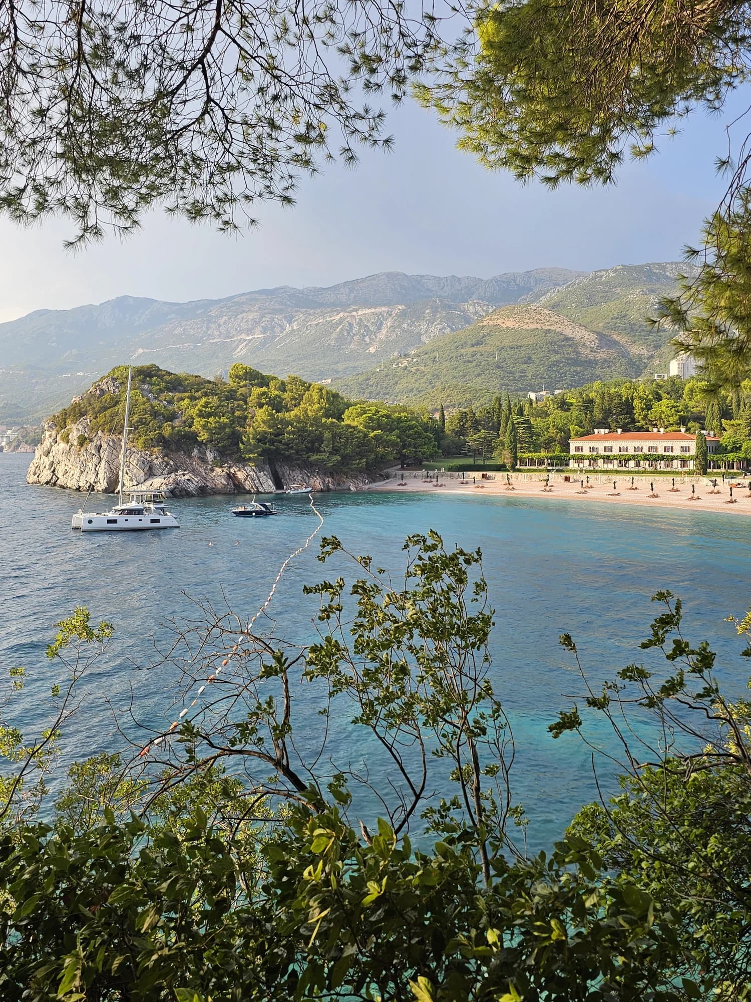
A 280-metre strand of pale pink sand and pebble in front of Villa Miločer, backed by the old royal park and wrapped around a clear turquoise bay.
- Superficie
- arena y guijarro fino
- Entrada
- entrada suave
- Carácter
- organizada
- Longitud
- 280 m

Riviera de Budva
Drobni PijesakDrobni pijesak
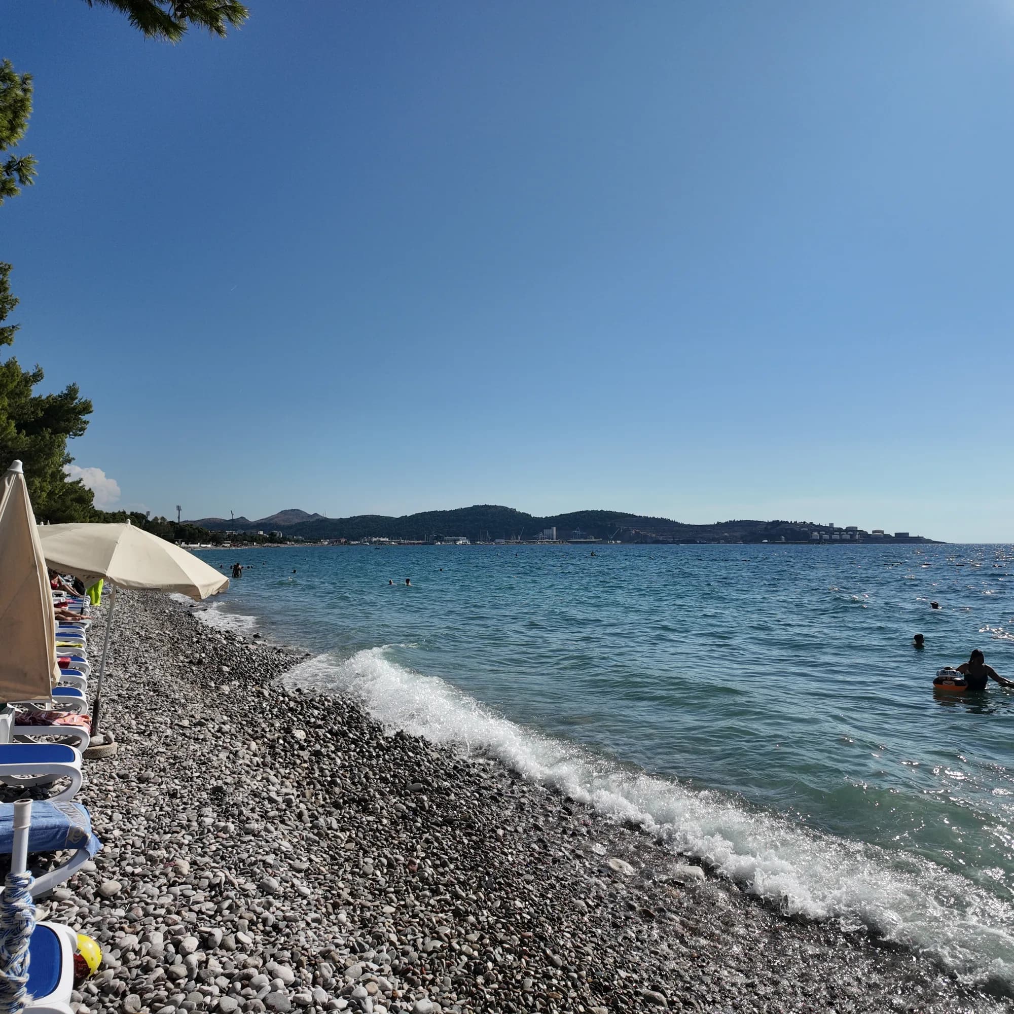
Una cala de 250 metros de arena blanco-amarillenta y guijarro pequeño bajo los olivares entre Sveti Stefan y Petrovac, con un manantial de agua dulce en la playa.
- Superficie
- arena y guijarro fino
- Entrada
- entrada moderada
- Carácter
- zonas organizadas y libres
- Longitud
- 250 m
Riviera de Bar
Žukotrlica
Un kilómetro de guijarro bajo pinos de Alepo maduros en el extremo norte del frente marítimo de Bar, el inicio del Paseo del Rey de 3.6 km y la playa urbana que usan los locales.
- Superficie
- guijarros
- Entrada
- entrada moderada
- Carácter
- zonas organizadas y libres
- Longitud
- 1000 m
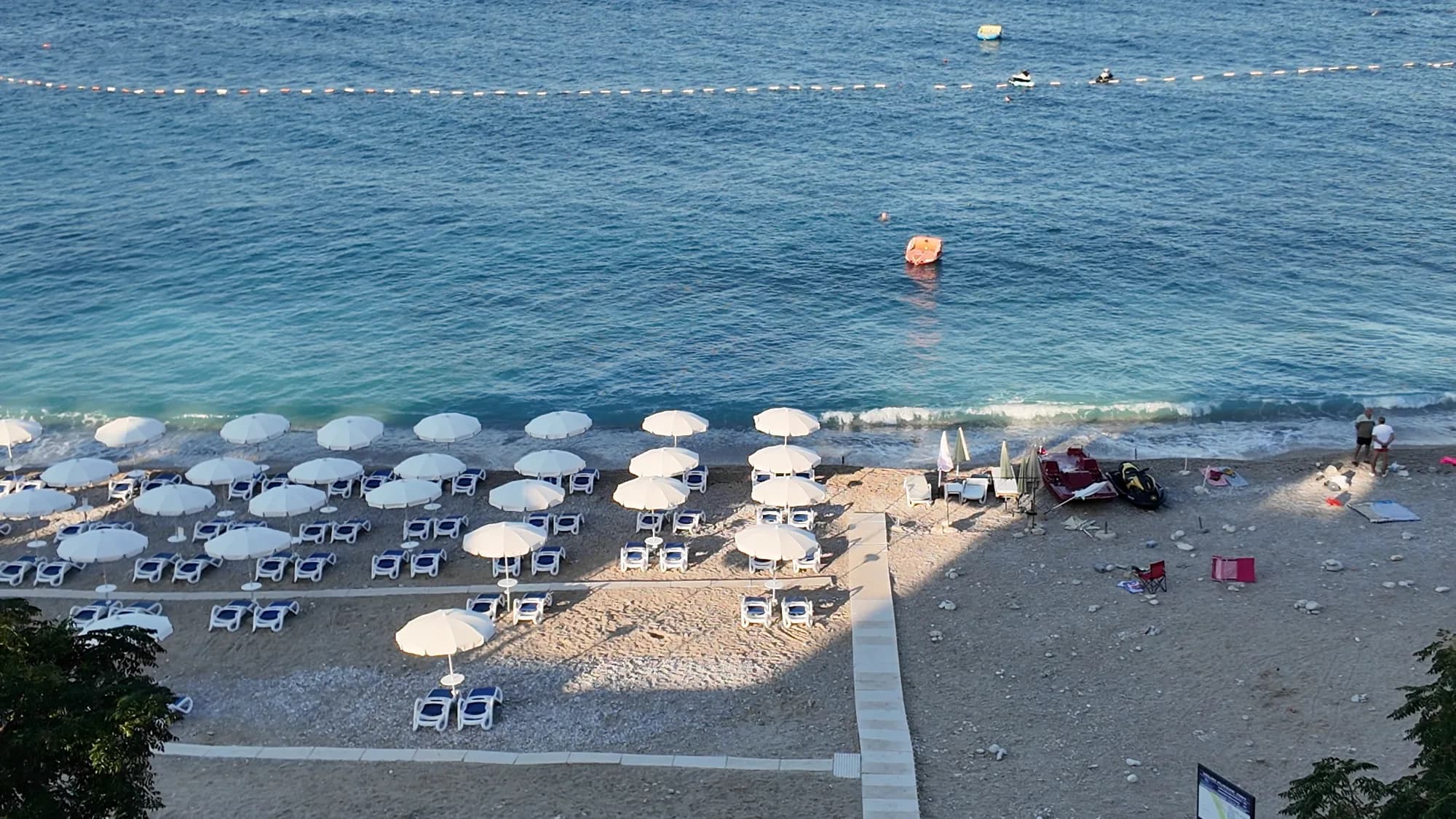
Riviera de Bar
Veliki PijesakVeliki pijesak, Dobra Voda
Un arco de 380–480 m de guijarro con calas de arena, un islote a 23 m de la orilla y una puesta de sol que cae sobre mar abierto en cualquier mes del año.
- Superficie
- guijarros
- Entrada
- entrada moderada
- Carácter
- organizada
- Longitud
- 380–480 m