El atlas de playas
Guijarros y roca
16 de las 39 playas del atlas.

Riviera de Herceg Novi
Žanjiceuvala Žanjic
Una bahía de guijarro blanco de 300 metros cerca de la punta de Luštica, a veinte minutos en barco desde Herceg Novi y el punto de salida hacia la Cueva Azul.
- Superficie
- guijarros
- Entrada
- entrada moderada
- Carácter
- organizada
- Longitud
- 300 m

Riviera de Herceg Novi
Mirišta
La cala de guijarro de 200 metros a diez minutos por el sendero costero desde Žanjice, bajo el fuerte de Arza, con árboles sobre el fondo de la playa y una fracción de los barcos.
- Superficie
- guijarros
- Entrada
- entrada moderada
- Carácter
- zonas organizadas y libres
- Longitud
- 200 m

Riviera de Herceg Novi
Dobreč
Una cala de guijarro de 100 metros en la costa exterior de Luštica sin ninguna carretera de acceso: el barco desde Herceg Novi es la única forma de entrar y de salir.
- Superficie
- guijarros
- Entrada
- entrada moderada
- Carácter
- salvaje
- Longitud
- 100 m

Riviera de Herceg Novi
NjiviceKraljičina plaža
La última playa de Montenegro yendo hacia el oeste: roca, arena y hormigón desde donde nadar bajo una aldea de 102 habitantes, con Prevlaka y Croacia a 4 km al otro lado del agua.
- Superficie
- roca
- Entrada
- entrada rocosa
- Carácter
- zonas organizadas y libres
- Longitud
- 200 m

Riviera de Herceg Novi
Savina
La orilla de 200 metros de guijarro y hormigón en el paseo Pet Danica, bajo el monasterio de Savina, a veinte minutos a pie al este del Casco Antiguo de Herceg Novi.
- Superficie
- guijarros
- Entrada
- entrada moderada
- Carácter
- zonas organizadas y libres
- Longitud
- 200 m

Bahía de Kotor
Bajova KulaBajova kula
Una orilla de guijarros de 100 metros en Dražin Vrt, en la carretera de Kotor a Risan, que toma su nombre de la torre de Bajo Pivljanin que la domina, con Perast al otro lado del agua.
- Superficie
- guijarros
- Entrada
- entrada moderada
- Carácter
- organizada
- Longitud
- 118 m

Bahía de Kotor
Orahovac
Cuatro calas de guijarro entre embarcaderos de piedra, el mar más frío y fresco de la bahía —24 partes por mil de sal a finales de mayo de 2026— y Excelente en todos los muestreos oficiales.
- Superficie
- guijarros
- Entrada
- entrada moderada
- Carácter
- salvaje
- Longitud
- 150 m

Bahía de Kotor
Stoliv
Sin ninguna playa: plataformas de hormigón y pontones en el frente marítimo de los capitanes de Donji Stoliv, frente a Perast al otro lado del agua en calma, con los bosques de castaños del pueblo alto detrás.
- Superficie
- plataformas de hormigón
- Entrada
- entrada pronunciada
- Carácter
- salvaje
- Longitud
- 100 m

Bahía de Kotor
Risan
Calas de guijarro a ambos lados del puerto del pueblo más antiguo de la bahía, con los picos del Orjen reflejados en el agua en calma y un mosaico romano del dios del sueño a 300 m de la orilla.
- Superficie
- guijarros
- Entrada
- entrada moderada
- Carácter
- salvaje
- Longitud
- 200 m

Riviera de Herceg Novi
Rose
Una orilla de guijarro y un muelle en activo en el pueblo pesquero de la punta de Luštica, al que se llega en el ferry desde Herceg Novi y no por carretera.
- Superficie
- guijarros
- Entrada
- entrada moderada
- Carácter
- salvaje
- Longitud
- 80–150 m

Riviera de Herceg Novi
Meljine BeachPlaža Lazure
A compact 30-metre public pebble beach beside Lazure marina, with clear buoyed water and the mountains of the inner bay rising behind it.
- Superficie
- guijarros
- Entrada
- entrada suave
- Carácter
- organizada
- Longitud
- 30 m

Bahía de Kotor
Lipci
Una franja de guijarros y rocas planas bajo los ciervos prehistóricos de Lipci, a la que se llega por un estrecho sendero de hormigón, con agua clara lo bastante profunda para saltar y nada más.
- Superficie
- guijarros
- Entrada
- entrada rocosa
- Carácter
- salvaje
- Longitud
- 20–50 m

Bahía de Kotor
Ljuta
Una plataforma de baño de hormigón en la carretera de la costa de Dobrota, junto a la desembocadura de un río de 200 metros que sale de la montaña a 7 °C — el baño más frío de la bahía.
- Superficie
- plataformas de hormigón
- Entrada
- entrada pronunciada
- Carácter
- salvaje
- Longitud
- 10–30 m
Riviera de Bar
Žukotrlica
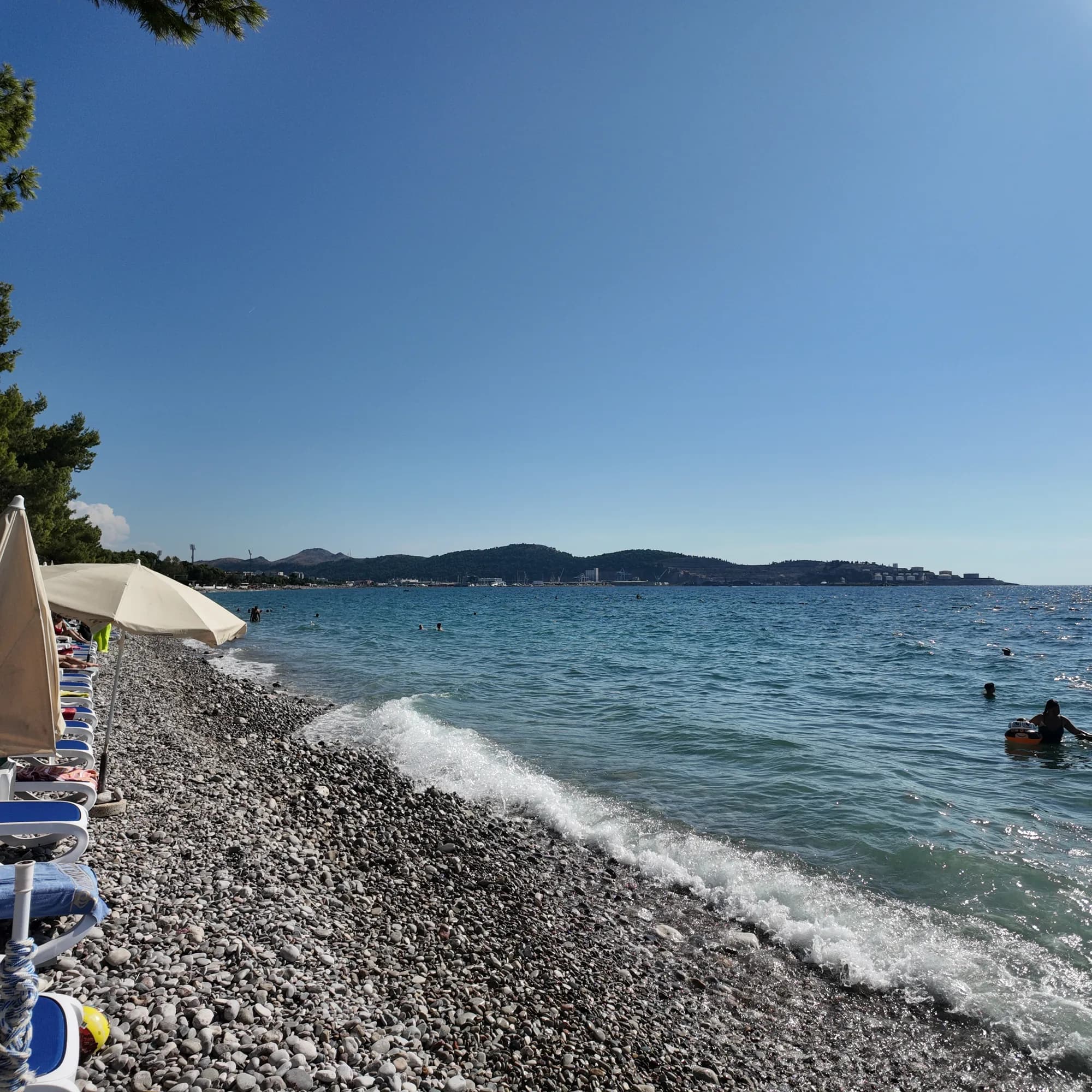
Un kilómetro de guijarro bajo pinos de Alepo maduros en el extremo norte del frente marítimo de Bar, el inicio del Paseo del Rey de 3.6 km y la playa urbana que usan los locales.
- Superficie
- guijarros
- Entrada
- entrada moderada
- Carácter
- zonas organizadas y libres
- Longitud
- 1000 m
Riviera de Bar
Veliki PijesakVeliki pijesak, Dobra Voda
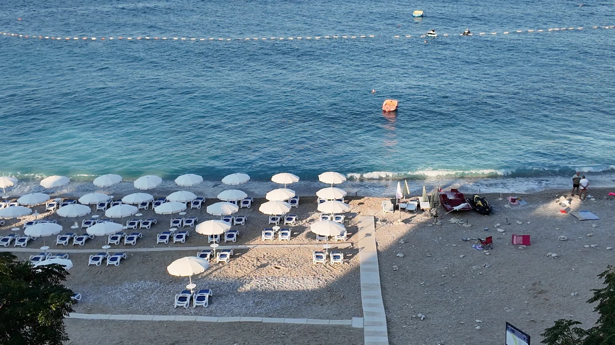
Un arco de 380–480 m de guijarro con calas de arena, un islote a 23 m de la orilla y una puesta de sol que cae sobre mar abierto en cualquier mes del año.
- Superficie
- guijarros
- Entrada
- entrada moderada
- Carácter
- organizada
- Longitud
- 380–480 m
Riviera de Ulcinj
Women's BeachŽenska plaža
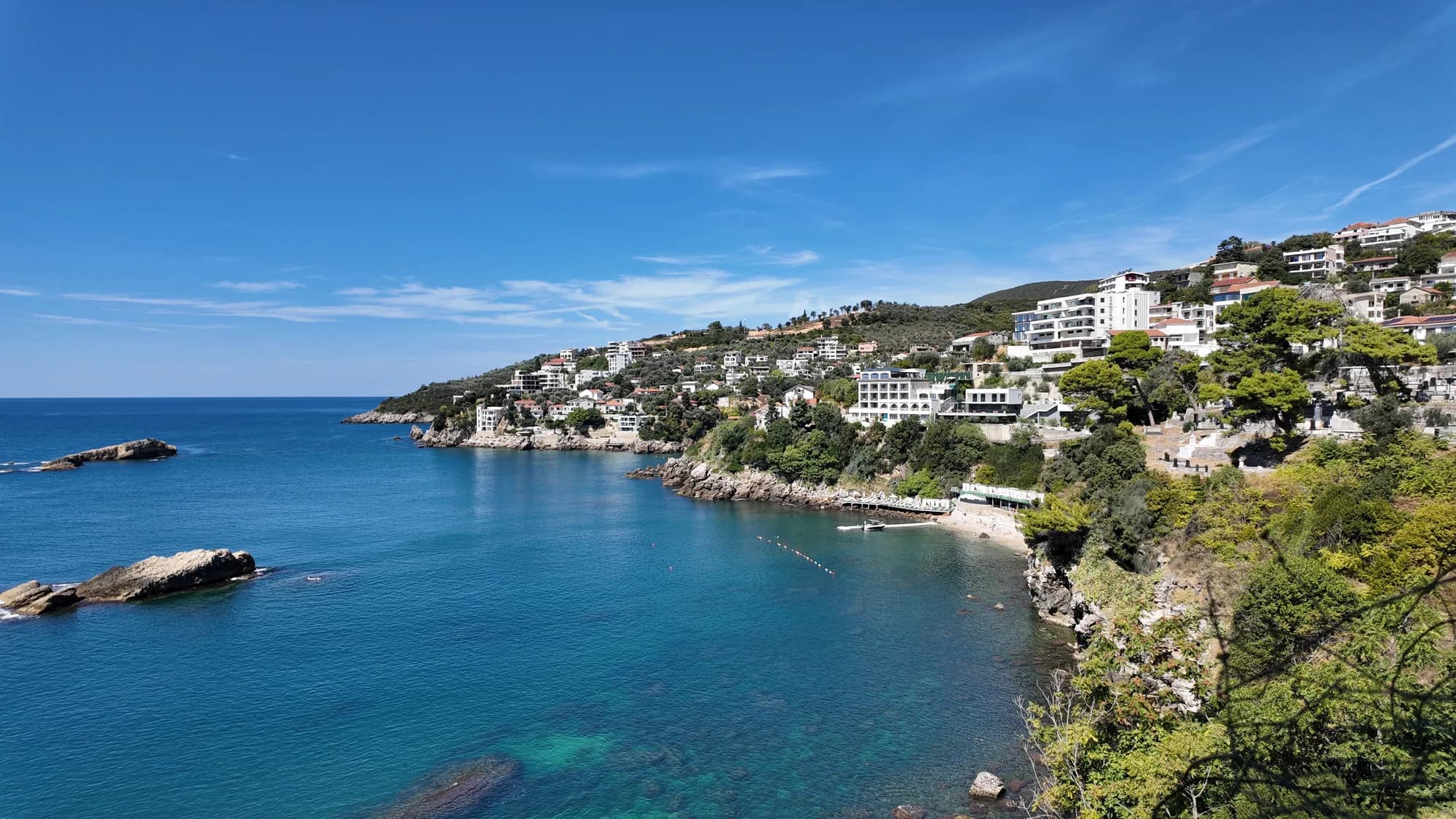
Una cala protegida al este de Ulcinj con un manantial de azufre en los bajíos, gestionada como zona de baño solo para mujeres de mayo a octubre y visitada por una tradición de fertilidad más antigua que cualquiera de sus operadores.
- Superficie
- guijarros
- Entrada
- entrada rocosa
- Carácter
- organizada
- Longitud
- 50–100 m