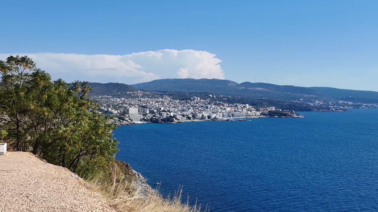
Veliki Pijesak
Veliki pijesak, Dobra Voda
Un arco de 380–480 m de guijarro con calas de arena, un islote a 23 m de la orilla y una puesta de sol que cae sobre mar abierto en cualquier mes del año.
Nuestro veredicto
Veliki Pijesak es la playa de resort de Dobra Voda: organizada en filas por tres concesiones, un paseo iluminado con cafés detrás, una Bandera Azul en el sector Best Sunset en 2026, y Veliki Kamen asomando en el agua justo frente al guijarro. La geometría es lo importante —ningún promontorio se interpone nunca en la puesta de sol, que a finales de agosto y en septiembre cae casi exactamente al oeste, hacia las 19:30. Venga por el atardecer; el baño es bueno pero está expuesto.
- puesta de sol
- nadar
- familias
- fotografía
Veliki Pijesak, en datos
La orilla
Servicios
Acceso
Normas y carácter
Datos verificados el 28 de septiembre de 2026 · Longitud: Bar tourist board about 380 m (12,700 m²); the geographer Osman Grgurević measured an arc of 480 m averaging 29 m wide · Quedan 9 datos por comprobar sobre el terreno
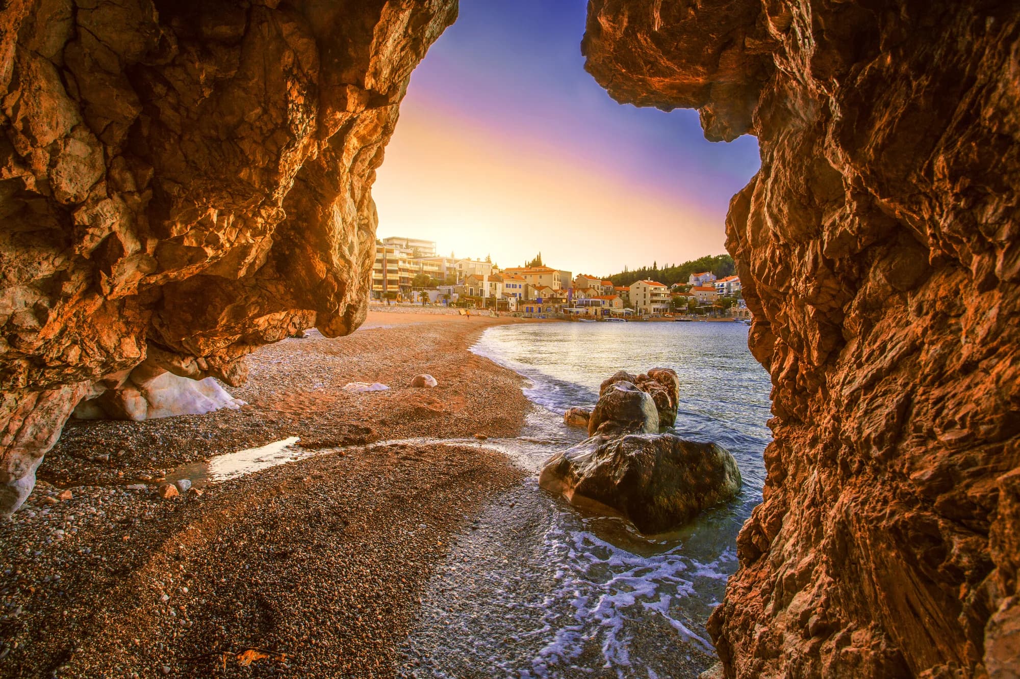
Veliki Pijesak en imágenes
Fotografías y vídeos de Montenegro.com, libres de reutilizar bajo CC BY 4.0. Las nuestras se tomaron el 13 de septiembre de 2026.
Veliki Pijesak en movimiento
La vista desde el promontorio norte sobre Veliki Pijesak y el islote
El sol poniéndose sobre mar abierto frente a Veliki Pijesak — la única playa de esta costa donde ocurre así en todos los meses del año
Fotografías y vídeos de Montenegro.com, libres de reutilizar bajo CC BY 4.0. Las nuestras se tomaron el 13 de septiembre de 2026.
Mapa
El agua sombreada es la zona de baño oficial de la estación Veliki pijesak 01: el tramo que JP Morsko dobro muestrea realmente, no el contorno de la playa.
Cómo llegar
7.4 km
Bar
14 km
Ulcinj
38 km
Budva
Distancias en línea recta — las carreteras de Montenegro son de montaña, así que el trayecto es más largo.
- En autobúsBar–Ulcinj coastal lines stop on the road above the beach (about €2 and 16 minutes from Bar station)
- En cocheBar 11.5 km (18 min) and Ulcinj 16.1 km (20 min) in free-flowing traffic; parking is limited and paid — a room with its own space is worth paying for in August
- 5 min a piecon escalones — Down from the coast road to the lit promenade along the beach; Mali Pijesak is a few minutes further north along it
Hoy en Veliki Pijesak
La orientación se calcula a partir de la costa de OpenStreetMap, así que «hacia la playa» y «desde tierra» se refieren a esta orilla y no a la región. Previsión de Open-Meteo
Agua y galardones
Excelente
Última muestra oficial 28 de septiembre de 2026: Excelente
Mar a 20.0 °C en el momento de la muestra
9 de 10 muestras excelentes en la temporada 2026
Resultado oficial de JP Morsko dobro, estación Veliki pijesak 01
Mar abierto: claro con tiempo estable, agitado cuando hay oleaje; la muestra oficial de agosto de 2026 fue Buena en lugar de Excelente
- Blue Flag 2026 — Best Sunset sector, Veliki pijesakHeld in most seasons since 2015; the flag covers one concession, not the whole beach
Antes de bañarte
- Abierta al mar y con oleaje frecuente: un visitante se ahogó aquí en septiembre de 2024 al entrar a por su familia, atrapada en mar agitado — no nade cuando rompan las olas
- La playa se erosiona, perdiendo entre medio metro y un metro al año; el banco de guijarro se empina tras los temporales
- El islote Veliki Kamen está a solo unos 23 m del guijarro — nadadores y embarcaciones pequeñas convergen allí
- En agosto la carretera de la costa por Veliki Pijesak puede costar una hora; es también la única vía de bajada al paseo
Cuándo está templada el agua
Veliki Pijesak alcanzó su máximo, 27.0 °C, el 31 de agosto de 2026, y su mínimo, 20.0 °C, el 28 de septiembre de 2026. Cada punto es una toma de muestra real con la temperatura medida en el sitio, no un promedio mensual copiado de otra parte.
El punto hueco es el único muestreo que no alcanzó «Excelente».
Ver los 10 muestreos
| Muestreo | Mar | Resultado |
|---|---|---|
| 28 de septiembre de 2026 | 20.0 °C | Excelente |
| 14 de septiembre de 2026 | 24.2 °C | Excelente |
| 31 de agosto de 2026 | 27.0 °C | Excelente |
| 17 de agosto de 2026 | 25.1 °C | Buena |
| 3 de agosto de 2026 | 24.2 °C | Excelente |
| 20 de julio de 2026 | 25.2 °C | Excelente |
| 6 de julio de 2026 | 21.9 °C | Excelente |
| 22 de junio de 2026 | 23.8 °C | Excelente |
| 8 de junio de 2026 | 21.2 °C | Excelente |
| 25 de mayo de 2026 | 20.2 °C | Excelente |
Resultado oficial de JP Morsko dobro, estación Veliki pijesak 01
Temporada a temporada
Veliki Pijesak se ha muestreado 69 veces desde 2020: 66 de esas lecturas excelentes, 3 por debajo.
Lo caliente que llegó a estar el agua, temporada a temporada. La media es solo de los muestreos de julio y agosto: una ventana fija, para que un año en que los inspectores vinieron temprano no parezca frío.
Un puñado de temporadas es un registro, no una tendencia: lo que se ve aquí es la dispersión propia de unas pocas lecturas fechadas, no la prueba de un mar que se calienta o se enfría. Un punto hueco marca una temporada en la que algún muestreo quedó por debajo de excelente.
| Temporada | Muestreos | Excelente | Por debajo | Media jul.-ago. | Máxima |
|---|---|---|---|---|---|
| 2020 | 9 | 9 | — | 23.5 °C | 26.1 °C |
| 2021 | 10 | 10 | — | 25.1 °C | 26 °C |
| 2022 | 10 | 9 | 1 | 23.9 °C | 26 °C |
| 2023 | 10 | 10 | — | 24.3 °C | 27.2 °C |
| 2024 | 10 | 10 | — | 24.5 °C | 26.2 °C |
| 2025 | 10 | 9 | 1 | 22 °C | 24.9 °C |
| 2026en curso | 10 | 9 | 1 | 24.7 °C | 27 °C |
Resultado oficial de JP Morsko dobro, estación Veliki pijesak 01
Playas cercanas
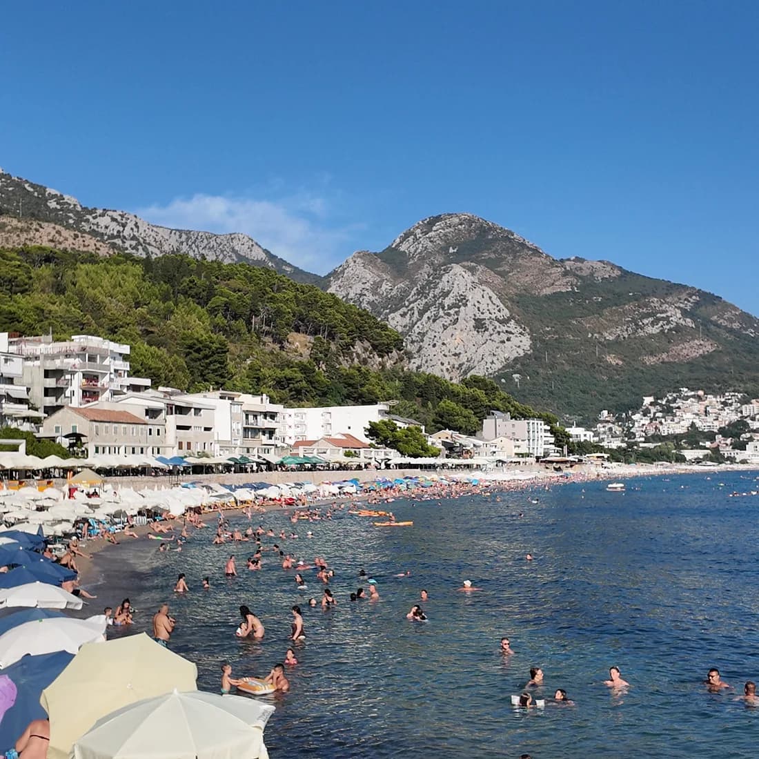
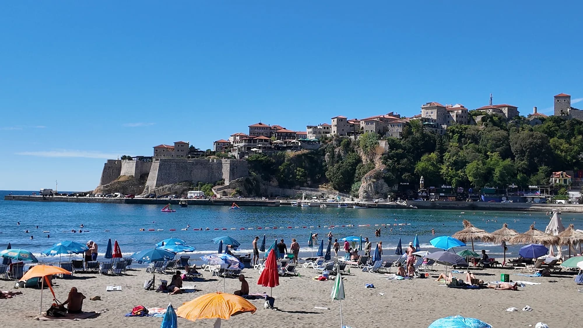
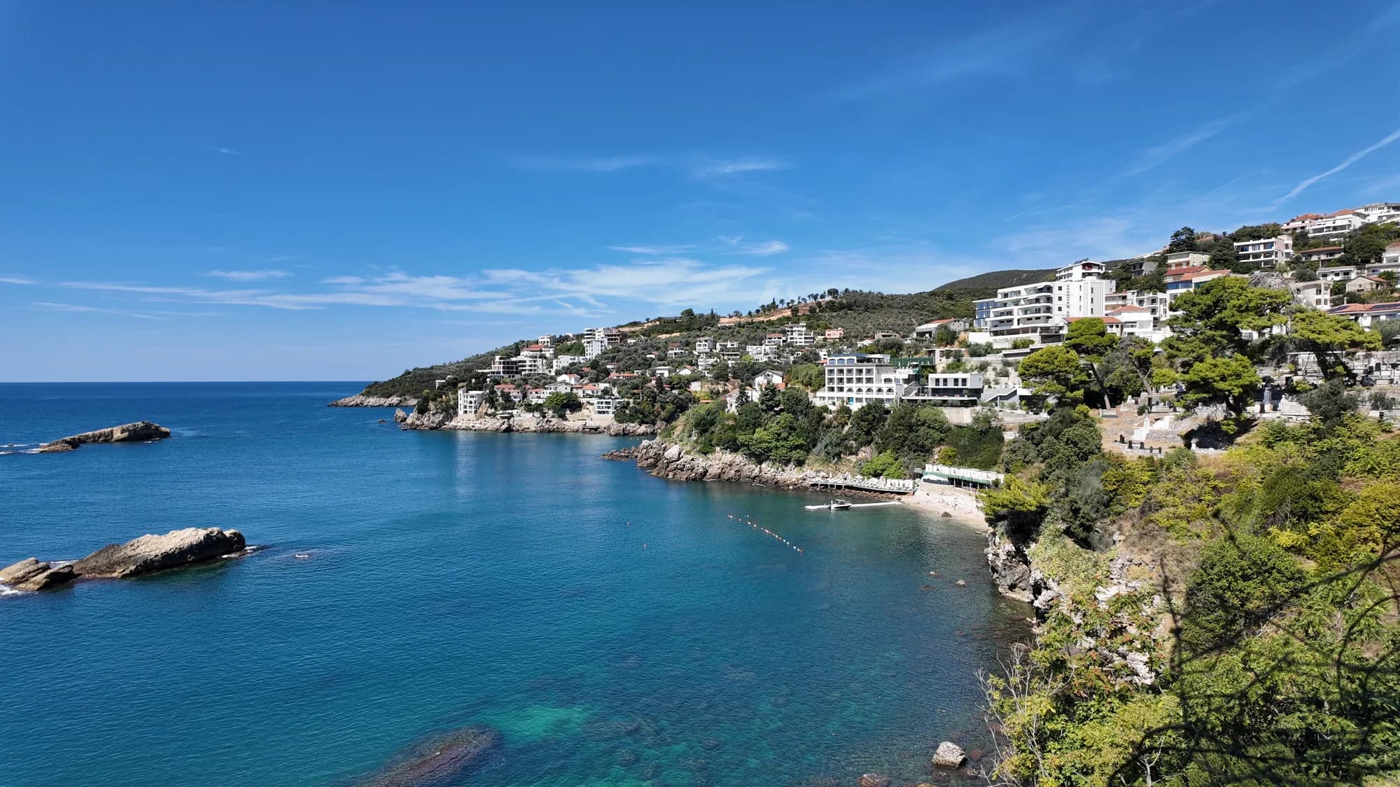
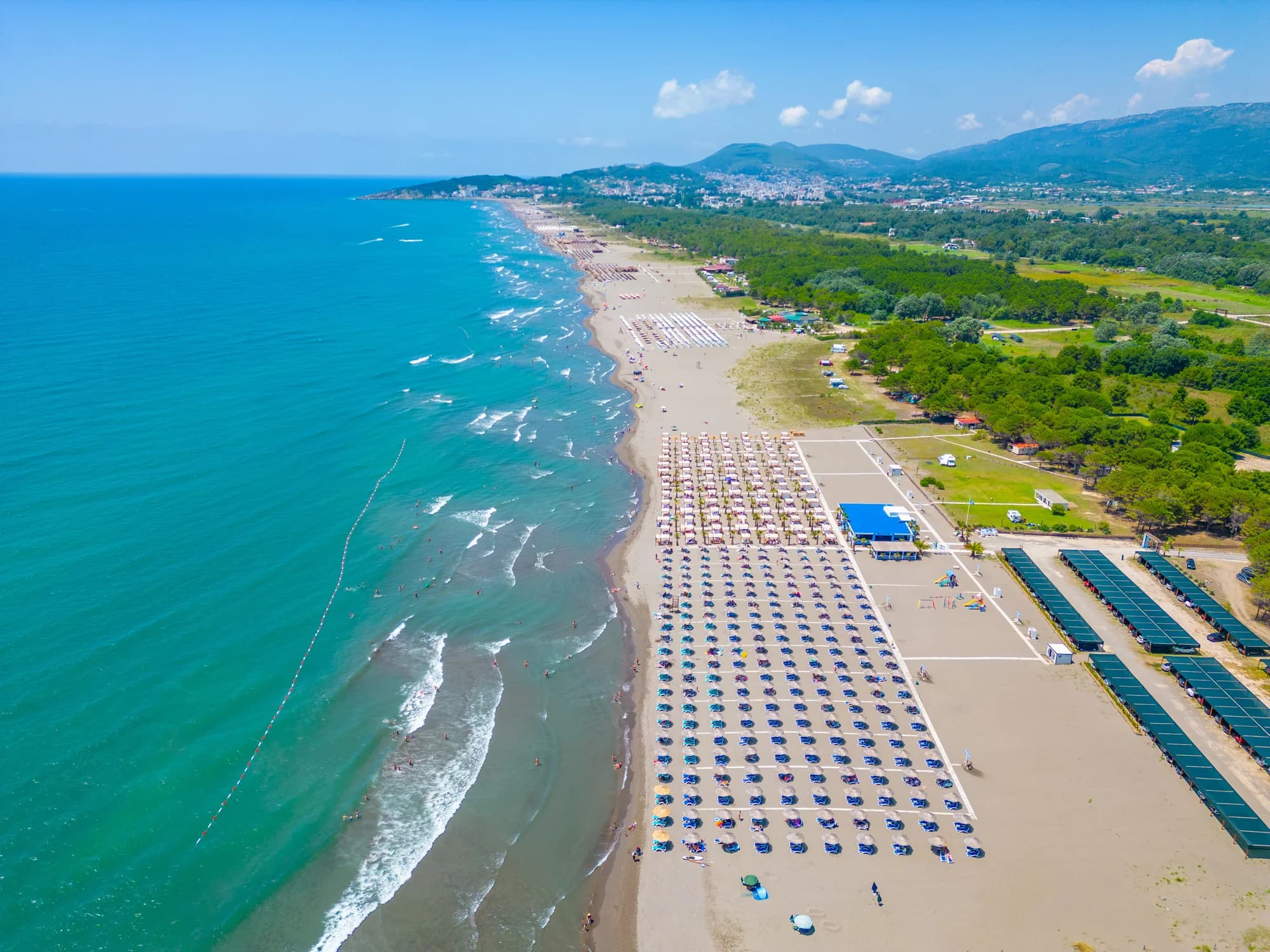
Veliki Pijesak y sus vecinas
Las mismas nueve medidas para las playas que puede alcanzar el mismo día. La negrita indica que difiere de esta.
| Medida | 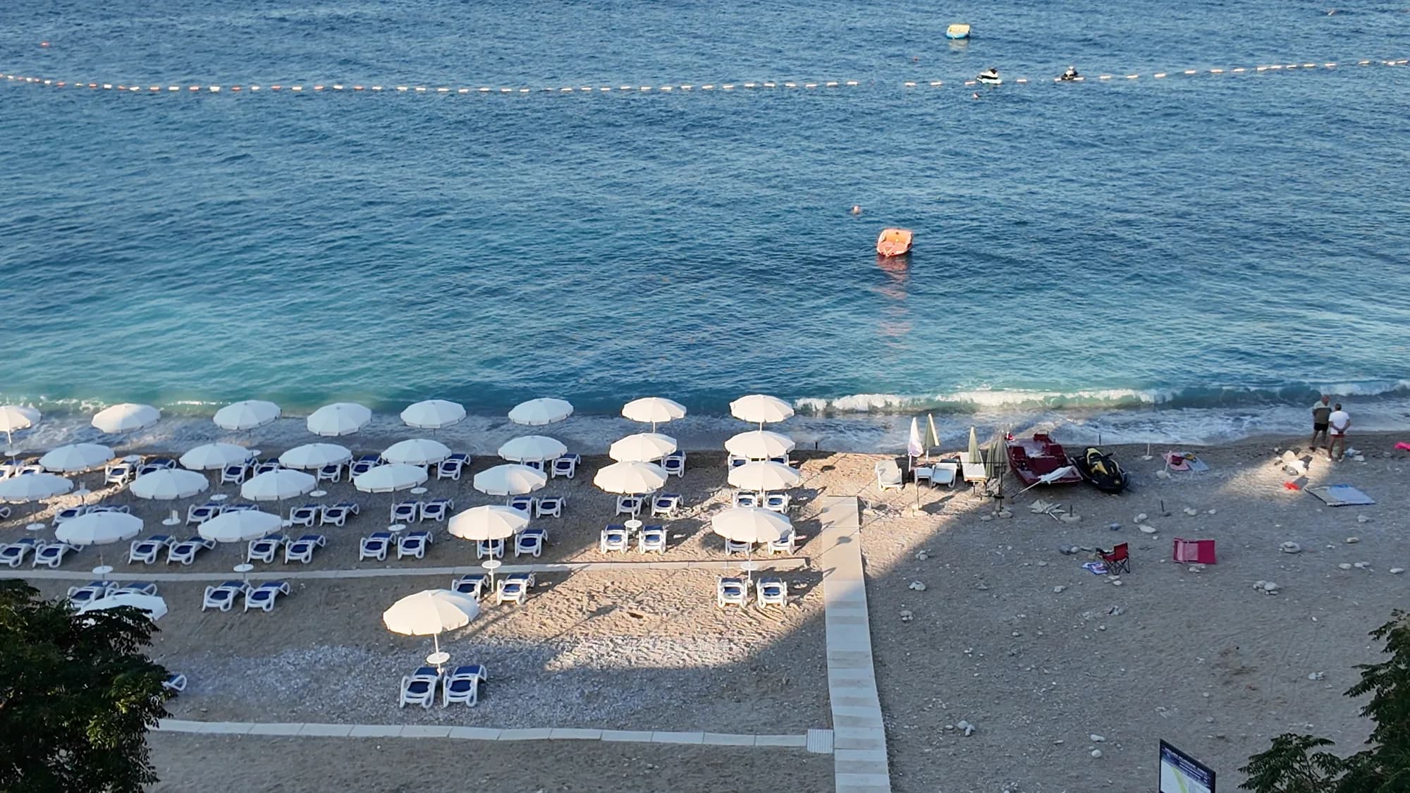 Veliki Pijesakesta playa Veliki Pijesakesta playa | 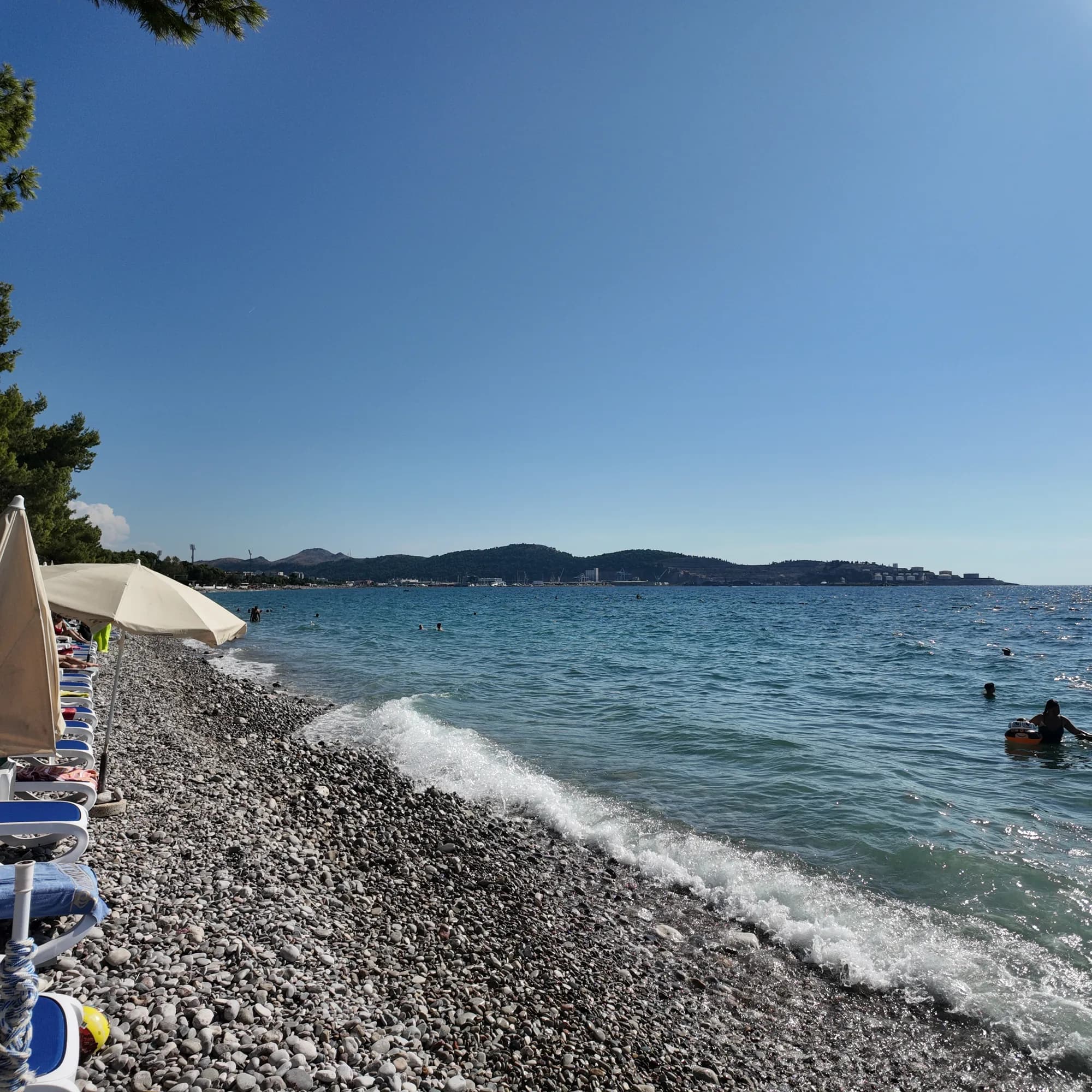 Žukotrlica10.0 km Žukotrlica10.0 km |
|---|---|---|
| Superficie | guijarros | guijarros |
| Entrada | moderada | moderada |
| Profundidad | gana fondo rápido | gana fondo rápido |
| Sombra | sombrillas de alquiler | árboles y sombrillas — difiere |
| Carácter | organizada | zonas organizadas y libres — difiere |
| Longitud | 380–480 m | 1000 m — difiere |
| Última muestra | Excelente | Excelente |
| Afluencia | concurrida en temporada | tranquilidad — difiere |
| Cómo llegar | en coche | en coche |
Alojarse cerca de Veliki Pijesak
Todos los alojamientos en Dobra Voda →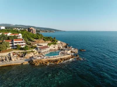


La guía completa
Leer la guía de Veliki Pijesak
Todo lo anterior es la versión corta. La guía tiene las fuentes, los códigos de sector, las fechas de muestreo y lo que cambia dentro de una temporada.
Preguntas
- ¿Es Veliki Pijesak de arena o de guijarro?
- Sobre todo guijarro y piedra pequeña con calas de arena, pese a lo que sugiera el nombre ("arena grande"). Lleve calzado para la orilla.
- ¿Cuándo es mejor la puesta de sol?
- De finales de agosto a mediados de septiembre, cuando el sol se pone casi exactamente al oeste sobre mar abierto, hacia las 19:00–19:45. Las posiciones calculadas van de 238° en diciembre a 302° en junio, y todas caen sobre el mar.
- ¿Cómo llego sin coche?
- Los autobuses Bar–Ulcinj paran en la carretera de la costa sobre la playa: unos €2 y 16 minutos desde la estación de autobuses de Bar, 20 minutos desde Ulcinj. En agosto la propia carretera puede añadir una hora.
Fuentes
- montenegro.com — Dobra Voda guide (/cities/dobra-voda/dobra-voda-guide) and city hub
- Osman Grgurević, NGO Mrkojevići (mrkojevici.me) — 480 × 29 m; bar.travel — about 380 m, 12,700 m²
- plava-zastavica.org.me — Blue Flag list (Best Sunset, Veliki pijesak, 2026)
- BarInfo — August 2026 bathing-water round (Veliki Pijesak Good); Morsko Dobro monitor
- OpenStreetMap — beach way 156809751 (centre used for the coordinates)