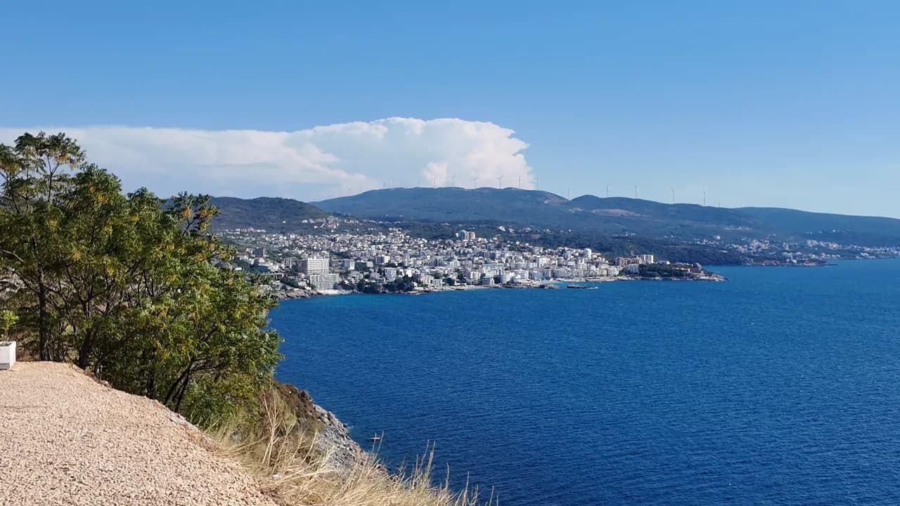
Veliki Pijesak
Veliki pijesak, Dobra Voda
Ein 380–480 m langer Bogen aus Kies mit sandigen Stellen, eine Insel 23 m vor der Küste und ein Sonnenuntergang, der in jedem Monat des Jahres im offenen Wasser landet.
Unser Urteil
Veliki Pijesak ist der Resortstrand von Dobra Voda: in Reihen von drei Konzessionen organisiert, eine beleuchtete Promenade mit Cafés dahinter, eine Blaue Flagge für den Sektor Best Sunset im Jahr 2026, und Veliki Kamen liegt direkt vor dem Kiesstrand im Wasser. Die Geometrie ist der Punkt — keine Landzunge steht dem Sonnenuntergang je im Weg, der Ende August und im September fast genau im Westen gegen 19:30 Uhr untergeht. Kommen Sie für den Abend; das Schwimmen ist gut, aber exponiert.
- Sonnenuntergang
- Schwimmen
- Familien
- Fotografie
Veliki Pijesak in Fakten
Das Ufer
Ausstattung
Anfahrt
Regeln und Charakter
Fakten geprüft am 28. September 2026 · Länge: Bar tourist board about 380 m (12,700 m²); the geographer Osman Grgurević measured an arc of 480 m averaging 29 m wide · 9 weitere Angaben müssen wir vor Ort prüfen
Veliki Pijesak in Bildern
Fotos und Filmaufnahmen von Montenegro.com, frei verwendbar unter CC BY 4.0. Unsere Aufnahmen stammen vom 13. September 2026.
Veliki Pijesak in Bewegung
Der Blick von der nördlichen Landzunge über Veliki Pijesak und die Insel
Die Sonne geht über offenem Meer vor Veliki Pijesak unter — der einzige Strand an dieser Küste, an dem das in jedem Monat so ist
Fotos und Filmaufnahmen von Montenegro.com, frei verwendbar unter CC BY 4.0. Unsere Aufnahmen stammen vom 13. September 2026.
Karte
Die schattierte Fläche ist die amtliche Badezone der Messstelle Veliki pijesak 01 — der Abschnitt, den JP Morsko dobro tatsächlich beprobt, nicht der Umriss des Strandes.
Anfahrt
7.4 km
Bar
14 km
Ulcinj
38 km
Budva
Luftlinie — Montenegros Straßen sind Bergstraßen, die Fahrt ist also länger.
- Mit dem BusBar–Ulcinj coastal lines stop on the road above the beach (about €2 and 16 minutes from Bar station)
- Mit dem AutoBar 11.5 km (18 min) and Ulcinj 16.1 km (20 min) in free-flowing traffic; parking is limited and paid — a room with its own space is worth paying for in August
- 5 Min. zu Fußmit Stufen — Down from the coast road to the lit promenade along the beach; Mali Pijesak is a few minutes further north along it
Heute an Veliki Pijesak
Die Ausrichtung ist aus der OpenStreetMap-Küstenlinie berechnet, auflandig und ablandig meinen also dieses Ufer und nicht die Region. Vorhersage von Open-Meteo
Wasser und Auszeichnungen
Ausgezeichnet
Letzte amtliche Probe 28. September 2026: Ausgezeichnet
Wasser 20.0 °C bei der Probenahme
9 von 10 Proben ausgezeichnet in der Saison 2026
Offizielles Ergebnis von JP Morsko dobro, Messstelle Veliki pijesak 01
Offenes Meer: bei ruhigem Wetter klar, bei Wellengang aufgewühlt; die offizielle Probe vom August 2026 ergab gut statt ausgezeichnet
- Blue Flag 2026 — Best Sunset sector, Veliki pijesakHeld in most seasons since 2015; the flag covers one concession, not the whole beach
Vor dem Baden wissen
- Zum Meer hin offen, Wellen sind häufig: Im September 2024 ertrank hier ein Besucher, der Familienangehörigen bei schwerem Seegang nachschwimmen wollte — nicht schwimmen, wenn Wellen brechen
- Der Strand erodiert und verliert einen halben bis einen Meter pro Jahr; die Kiesbank wird nach Stürmen steiler
- Die Insel Veliki Kamen liegt nur etwa 23 m vor dem Kiesstrand — Schwimmer und kleine Boote treffen dort aufeinander
- Im August kann die Küstenstraße durch Veliki Pijesak eine Stunde kosten; sie ist zugleich der einzige Zugang zur Promenade
Wann das Wasser warm ist
Veliki Pijesak war am wärmsten mit 27.0 °C am 31. August 2026 und am kältesten mit 20.0 °C am 28. September 2026. Jeder Punkt ist eine echte Messfahrt mit vor Ort abgelesener Temperatur, kein anderswo abgeschriebener Monatsmittelwert.
Der hohle Punkt ist die eine Messung, die unter „Ausgezeichnet“ lag.
Alle 10 Messungen ansehen
| Gemessen | Wasser | Ergebnis |
|---|---|---|
| 28. September 2026 | 20.0 °C | Ausgezeichnet |
| 14. September 2026 | 24.2 °C | Ausgezeichnet |
| 31. August 2026 | 27.0 °C | Ausgezeichnet |
| 17. August 2026 | 25.1 °C | Gut |
| 3. August 2026 | 24.2 °C | Ausgezeichnet |
| 20. Juli 2026 | 25.2 °C | Ausgezeichnet |
| 6. Juli 2026 | 21.9 °C | Ausgezeichnet |
| 22. Juni 2026 | 23.8 °C | Ausgezeichnet |
| 8. Juni 2026 | 21.2 °C | Ausgezeichnet |
| 25. Mai 2026 | 20.2 °C | Ausgezeichnet |
Offizielles Ergebnis von JP Morsko dobro, Messstelle Veliki pijesak 01
Saison für Saison
Veliki Pijesak wurde seit 2020 69 Mal beprobt: davon 66 Messungen „ausgezeichnet", 3 darunter.
Wie warm das Wasser wurde, Saison für Saison. Gemittelt werden nur die Probenahmen im Juli und August — ein festes Zeitfenster, damit ein Jahr, in dem früh gemessen wurde, nicht als kaltes erscheint.
Eine Handvoll Saisons ist eine Aufzeichnung, kein Trend: die Streuung hier zeigt, wie wenige datierte Messungen aussehen, nicht ein wärmer oder kälter werdendes Meer. Ein hohler Punkt steht für eine Saison, in der eine Probenahme unter „ausgezeichnet" lag.
| Saison | Probenahmen | Ausgezeichnet | Darunter | Mittel Jul.–Aug. | Höchstwert |
|---|---|---|---|---|---|
| 2020 | 9 | 9 | — | 23.5 °C | 26.1 °C |
| 2021 | 10 | 10 | — | 25.1 °C | 26 °C |
| 2022 | 10 | 9 | 1 | 23.9 °C | 26 °C |
| 2023 | 10 | 10 | — | 24.3 °C | 27.2 °C |
| 2024 | 10 | 10 | — | 24.5 °C | 26.2 °C |
| 2025 | 10 | 9 | 1 | 22 °C | 24.9 °C |
| 2026läuft | 10 | 9 | 1 | 24.7 °C | 27 °C |
Offizielles Ergebnis von JP Morsko dobro, Messstelle Veliki pijesak 01
Strände in der Nähe
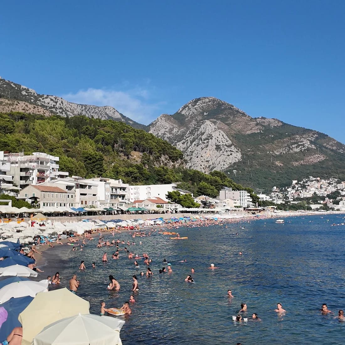
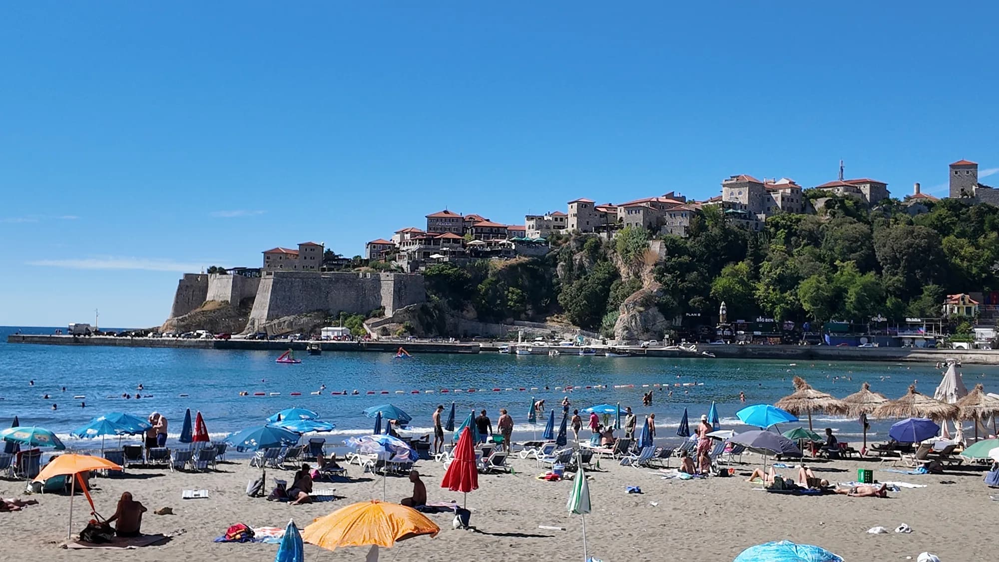
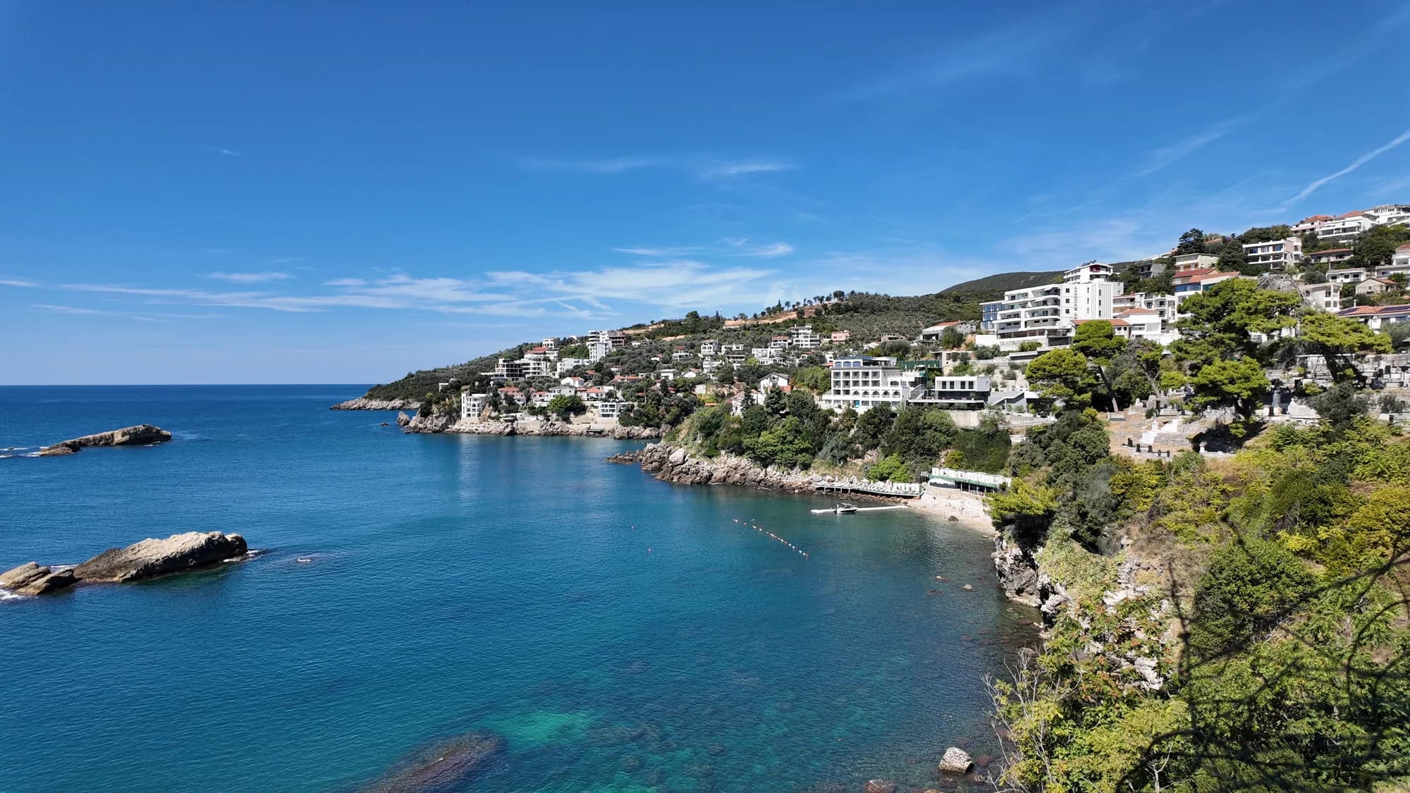
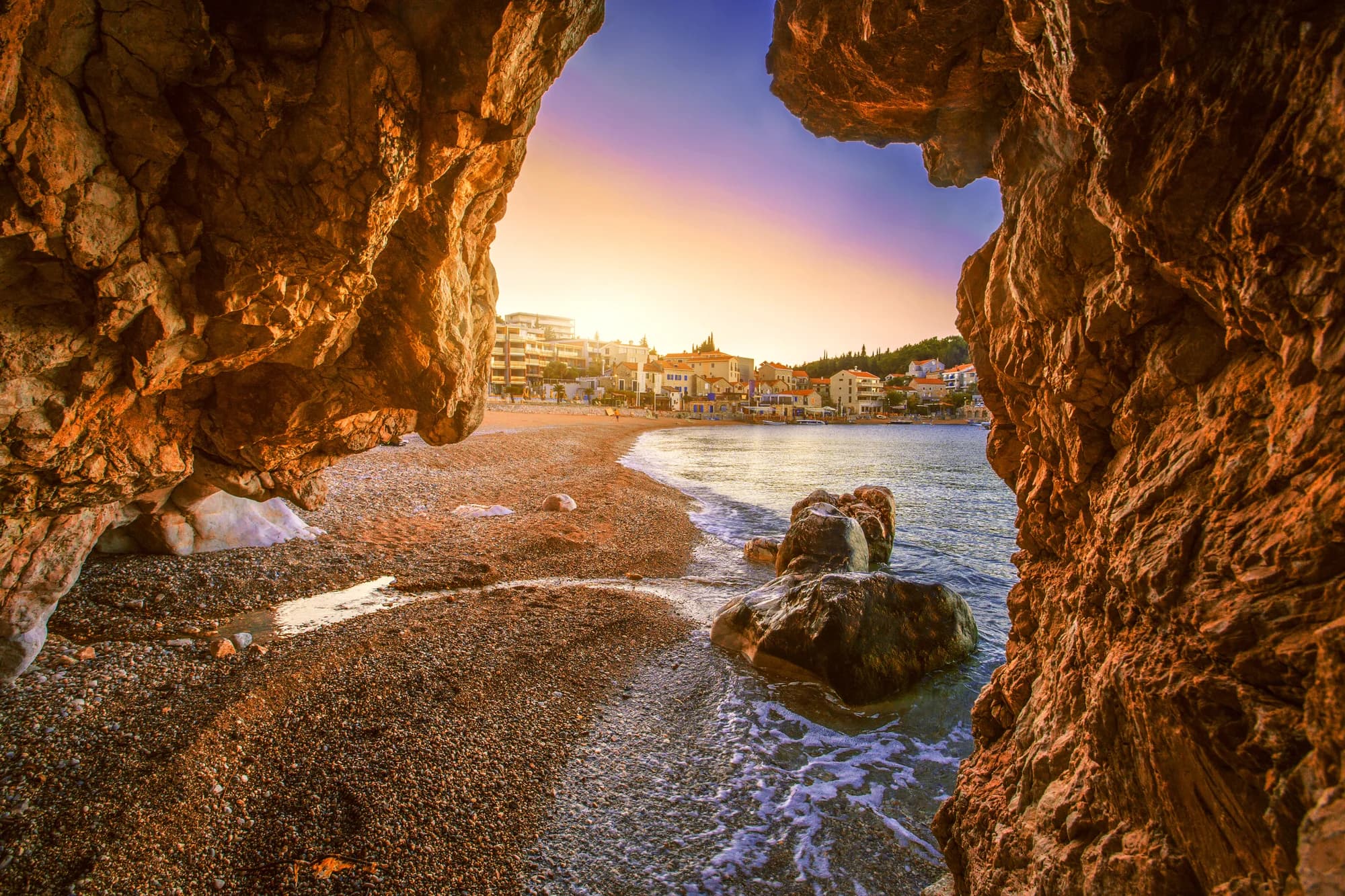
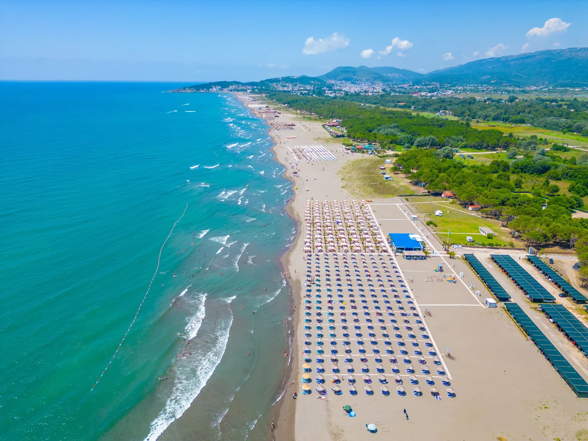
Veliki Pijesak und seine Nachbarn
Dieselben neun Angaben für die Strände, die Sie am selben Tag erreichen. Fett bedeutet: anders als hier.
| Angabe | 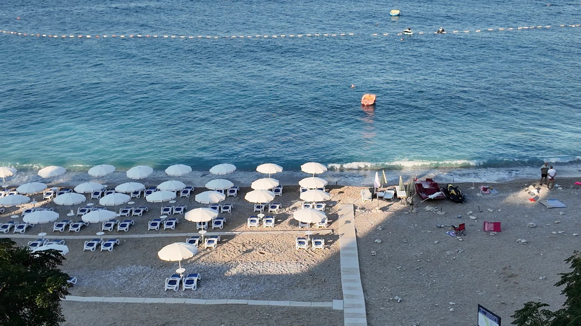 Veliki Pijesakdieser Strand Veliki Pijesakdieser Strand | 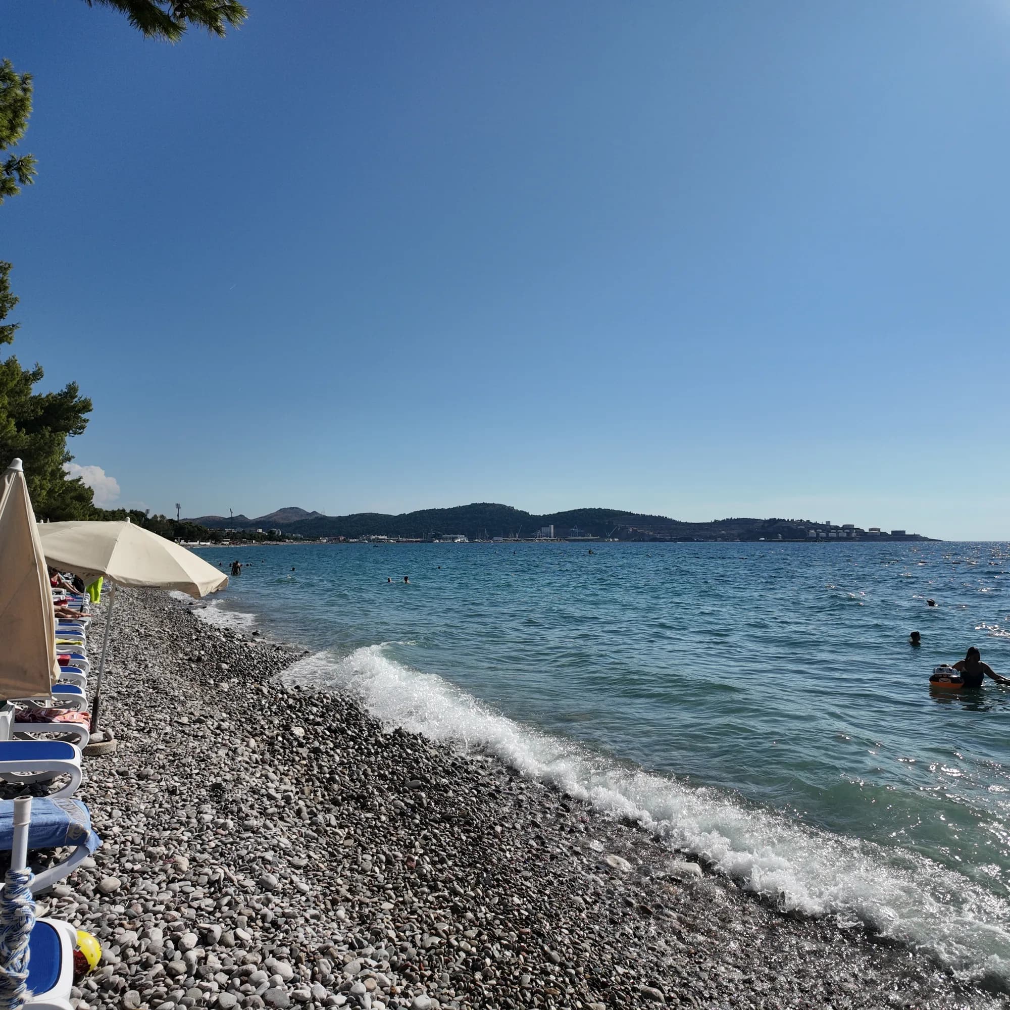 Žukotrlica10.0 km Žukotrlica10.0 km |
|---|---|---|
| Untergrund | Kies | Kies |
| Einstieg | mäßig | mäßig |
| Tiefe | wird schnell tief | wird schnell tief |
| Schatten | Schirme zu mieten | Bäume und Schirme — weicht ab |
| Charakter | bewirtschaftet | bewirtschaftete und freie Abschnitte — weicht ab |
| Länge | 380–480 m | 1000 m — weicht ab |
| Letzte Messung | Ausgezeichnet | Ausgezeichnet |
| Andrang | in der Saison voll | Ruhe — weicht ab |
| Anfahrt | mit dem Auto | mit dem Auto |
Übernachten nahe Veliki Pijesak
Alle Unterkünfte in Dobra Voda →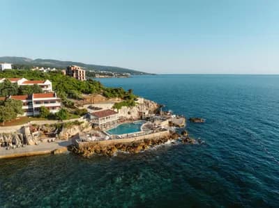

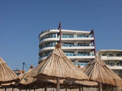

Der ausführliche Guide
Den Guide zu Veliki Pijesak lesen
Alles oben ist die Kurzfassung. Der Guide enthält die Quellen, die Sektorcodes, die Probedaten und das, was sich innerhalb einer Saison ändert.
Fragen
- Ist Veliki Pijesak Sand oder Kies?
- Überwiegend Kies und kleine Steine mit sandigen Stellen, was auch immer der Name („großer Sand“) vermuten lässt. Schuhe für die Wasserlinie mitbringen.
- Wann ist der Sonnenuntergang am schönsten?
- Ende August bis Mitte September, wenn die Sonne nahezu genau im Westen über offenem Wasser gegen 19:00–19:45 Uhr untergeht. Berechnete Positionen reichen von 238° im Dezember bis 302° im Juni, und jede einzelne davon liegt über dem Meer.
- Wie komme ich ohne Auto dorthin?
- Die Busse Bar–Ulcinj halten an der Küstenstraße oberhalb des Strands: etwa €2 und 16 Minuten ab dem Busbahnhof Bar, 20 Minuten ab Ulcinj. Im August kann die Straße selbst eine Stunde zusätzlich kosten.
Quellen
- montenegro.com — Dobra Voda guide (/cities/dobra-voda/dobra-voda-guide) and city hub
- Osman Grgurević, NGO Mrkojevići (mrkojevici.me) — 480 × 29 m; bar.travel — about 380 m, 12,700 m²
- plava-zastavica.org.me — Blue Flag list (Best Sunset, Veliki pijesak, 2026)
- BarInfo — August 2026 bathing-water round (Veliki Pijesak Good); Morsko Dobro monitor
- OpenStreetMap — beach way 156809751 (centre used for the coordinates)