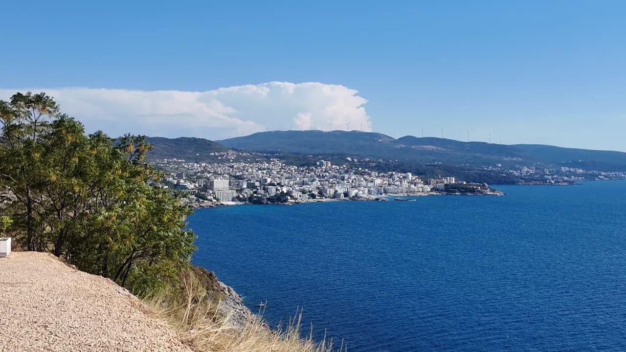
Veliki Pijesak
Veliki pijesak, Dobra Voda
En båge av 380–480 m grusstrand med sandfläckar, en holme 23 m utanför kusten, och en solnedgång som landar i öppet vatten alla årets månader.
Vårt omdöme
Veliki Pijesak är resortstranden vid Dobra Voda: organiserad i rader av tre koncessioner, en upplyst promenad med kaféer bakom sig, Blå Flagg på sektorn Best Sunset 2026, och Veliki Kamen som ligger i vattnet strax utanför gruset. Geometrin är poängen — ingen udde skymmer någonsin solnedgången, som i slutet av augusti och i september går ner nästan rakt i väster omkring klockan 19:30. Kom för kvällen; badet är bra men exponerat.
- solnedgång
- simning
- familjer
- fotografering
Veliki Pijesak i fakta
Stranden
Faciliteter
Tillgänglighet
Regler och karaktär
Fakta verifierade 28 september 2026 · Längd: Bar tourist board about 380 m (12,700 m²); the geographer Osman Grgurević measured an arc of 480 m averaging 29 m wide · 9 uppgifter återstår att kontrollera på plats
Veliki Pijesak i bilder
Foto och film av Montenegro.com, fria att återanvända under CC BY 4.0. Våra är tagna den 13 september 2026.
Veliki Pijesak i rörelse
Utsikten från den norra udden över Veliki Pijesak och holmen
Solen som går ner över öppet hav utanför Veliki Pijesak — den enda stranden på den här kusten där det sker varje månad
Foto och film av Montenegro.com, fria att återanvända under CC BY 4.0. Våra är tagna den 13 september 2026.
Karta
Det skuggade vattnet är den officiella badzonen för mätstation Veliki pijesak 01 — den sträcka JP Morsko dobro faktiskt provtar, inte strandens kontur.
Hitta hit
7.4 km
Bar
14 km
Ulcinj
38 km
Budva
Avstånd fågelvägen — Montenegros vägar är bergsvägar, så bilresan är längre.
- Med bussBar–Ulcinj coastal lines stop on the road above the beach (about €2 and 16 minutes from Bar station)
- Med bilBar 11.5 km (18 min) and Ulcinj 16.1 km (20 min) in free-flowing traffic; parking is limited and paid — a room with its own space is worth paying for in August
- 5 min till fotsmed trappor — Down from the coast road to the lit promenade along the beach; Mali Pijesak is a few minutes further north along it
I dag på Veliki Pijesak
Riktningen är beräknad från OpenStreetMaps kustlinje, så pålands- och frånlandsvind gäller just den här stranden och inte regionen. Prognos från Open-Meteo
Vatten och utmärkelser
Utmärkt
Senaste officiella prov 28 september 2026: Utmärkt
Havet 20.0 °C när provet togs
9 av 10 prover utmärkta under säsongen 2026
Officiellt resultat från JP Morsko dobro, mätstation Veliki pijesak 01
Öppet hav: klart i stabilt väder, upprört när vågor går; det officiella provet i augusti 2026 var bra snarare än utmärkt
- Blue Flag 2026 — Best Sunset sector, Veliki pijesakHeld in most seasons since 2015; the flag covers one concession, not the whole beach
Bra att veta innan du badar
- Öppen mot havet och vågor är vanliga: en besökare drunknade här i september 2024 när personen gick i för att hjälpa familjemedlemmar som fastnat i grov sjö — simma inte när vågorna bryter
- Stranden eroderar och förlorar en halv till en meter om året; grusvallen blir brantare efter stormar
- Holmen Veliki Kamen ligger bara omkring 23 m från gruset — badare och mindre båtar samlas kring den
- I augusti kan kustvägen genom Veliki Pijesak ta en timme; vägen är också den enda vägen ner till promenaden
När vattnet är varmt
Veliki Pijesak var varmast, 27.0 °C, den 31 augusti 2026, och kallast, 20.0 °C, den 28 september 2026. Varje punkt är ett verkligt provtagningsbesök med temperaturen mätt på plats, inte ett månadsmedelvärde hämtat någon annanstans ifrån.
Den ihåliga punkten är den enda provtagning som hamnade under ”Utmärkt”.
Visa alla 10 provtagningar
| Provtaget | Hav | Resultat |
|---|---|---|
| 28 september 2026 | 20.0 °C | Utmärkt |
| 14 september 2026 | 24.2 °C | Utmärkt |
| 31 augusti 2026 | 27.0 °C | Utmärkt |
| 17 augusti 2026 | 25.1 °C | Bra |
| 3 augusti 2026 | 24.2 °C | Utmärkt |
| 20 juli 2026 | 25.2 °C | Utmärkt |
| 6 juli 2026 | 21.9 °C | Utmärkt |
| 22 juni 2026 | 23.8 °C | Utmärkt |
| 8 juni 2026 | 21.2 °C | Utmärkt |
| 25 maj 2026 | 20.2 °C | Utmärkt |
Officiellt resultat från JP Morsko dobro, mätstation Veliki pijesak 01
Säsong för säsong
Veliki Pijesak har provtagits 69 gånger sedan 2020: 66 av mätningarna utmärkta, 3 under det.
Hur varmt vattnet blev, säsong för säsong. Medelvärdet gäller bara proverna i juli och augusti — ett fast fönster, så att ett år då inspektörerna kom tidigt inte framstår som kallt.
En handfull säsonger är en sammanställning, inte en trend: spridningen här är hur få daterade mätningar ser ut, inte belägg för ett hav som blir varmare eller kallare. En ihålig punkt markerar en säsong där ett prov hamnade under utmärkt.
| Säsong | Prover | Utmärkt | Under | Medel juli–aug. | Varmast |
|---|---|---|---|---|---|
| 2020 | 9 | 9 | — | 23.5 °C | 26.1 °C |
| 2021 | 10 | 10 | — | 25.1 °C | 26 °C |
| 2022 | 10 | 9 | 1 | 23.9 °C | 26 °C |
| 2023 | 10 | 10 | — | 24.3 °C | 27.2 °C |
| 2024 | 10 | 10 | — | 24.5 °C | 26.2 °C |
| 2025 | 10 | 9 | 1 | 22 °C | 24.9 °C |
| 2026pågår | 10 | 9 | 1 | 24.7 °C | 27 °C |
Officiellt resultat från JP Morsko dobro, mätstation Veliki pijesak 01
Stränder i närheten
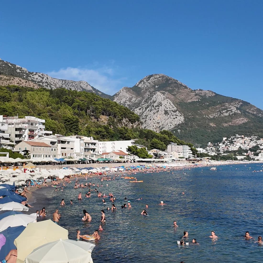
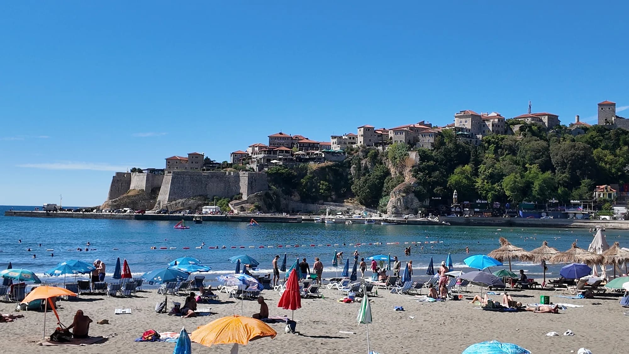
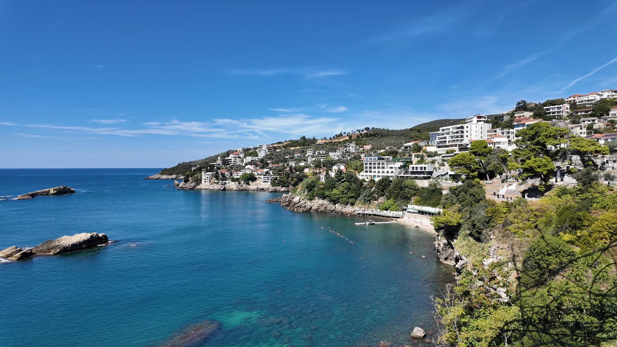
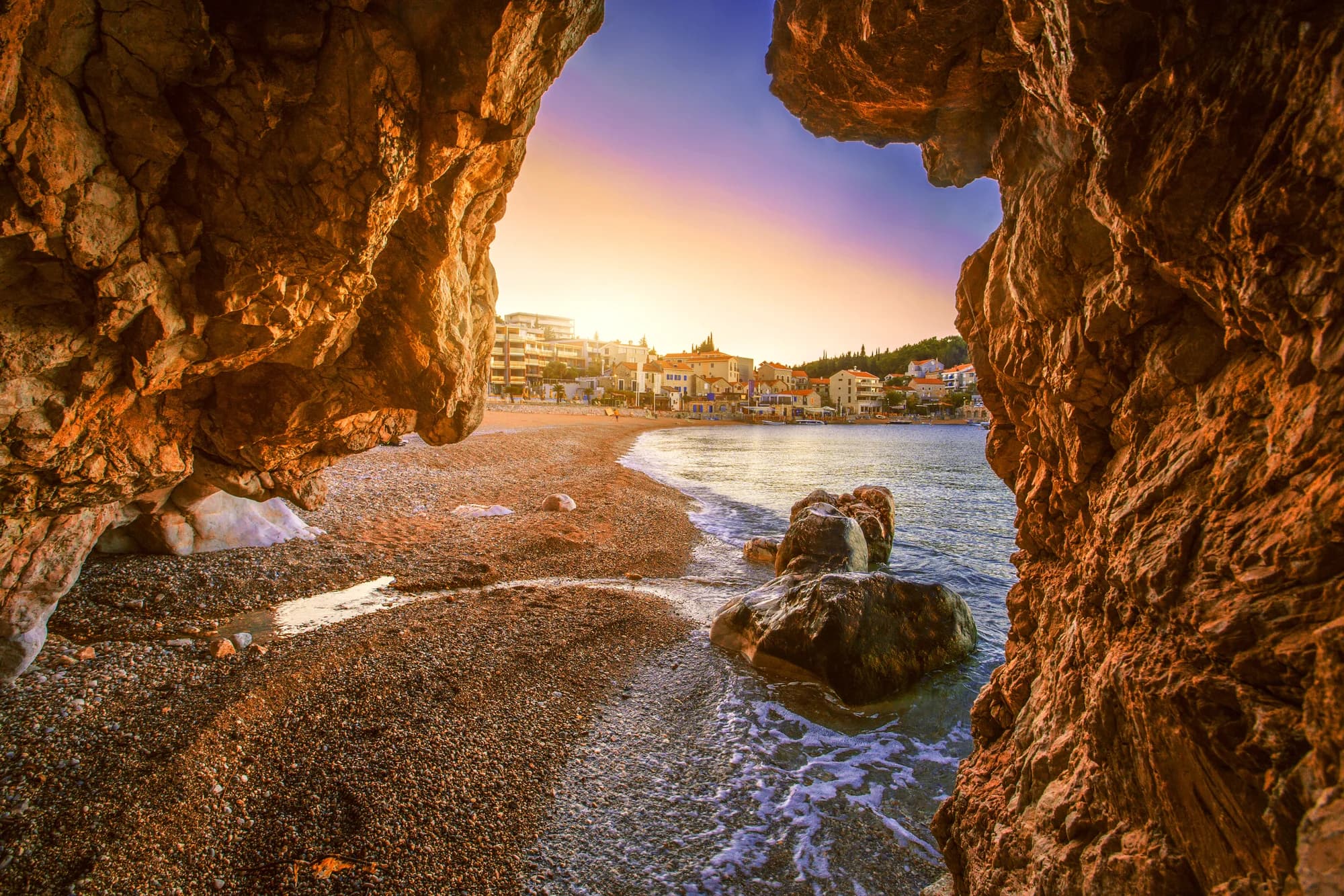
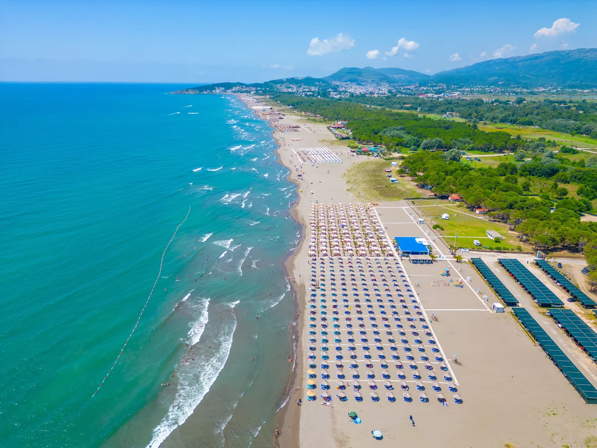
Veliki Pijesak och grannstränderna
Samma nio mått för stränderna du hinner samma dag. Fet stil betyder att det skiljer sig från den här.
| Mått | 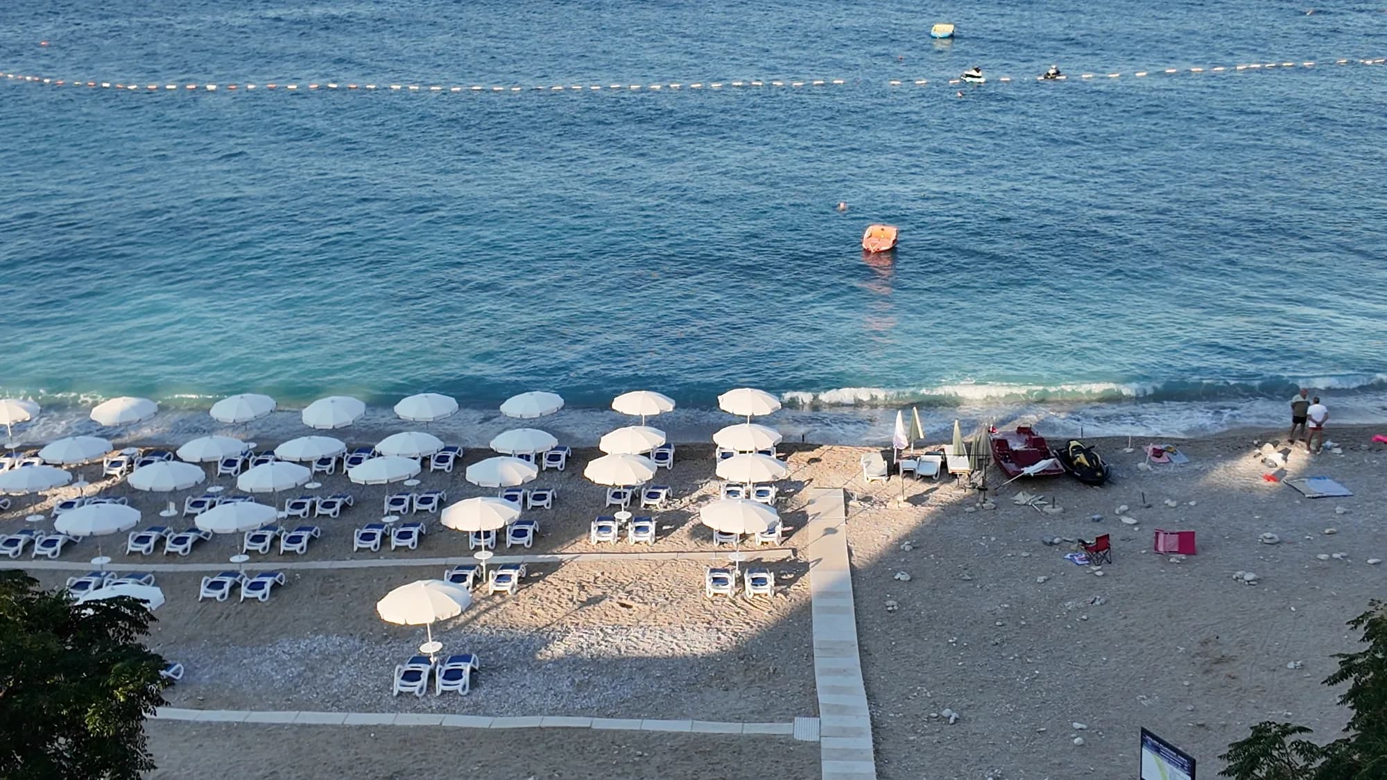 Veliki Pijesakden här stranden Veliki Pijesakden här stranden | 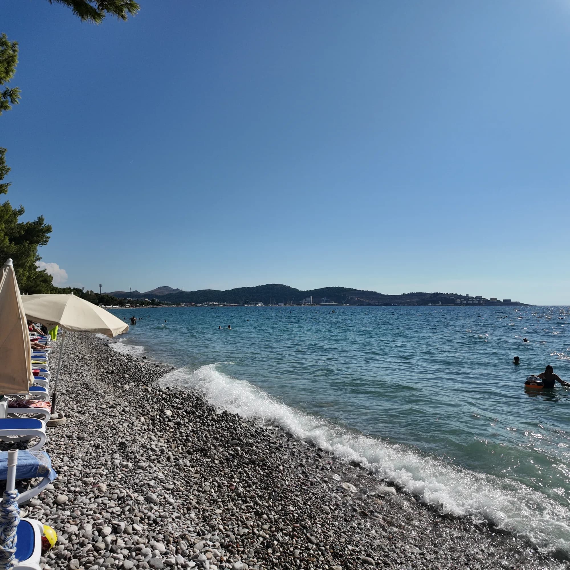 Žukotrlica10.0 km Žukotrlica10.0 km |
|---|---|---|
| Underlag | klappersten | klappersten |
| Nedgång i vattnet | måttlig | måttlig |
| Djup | blir snabbt djupt | blir snabbt djupt |
| Skugga | parasoller att hyra | träd och parasoller — skiljer sig |
| Karaktär | organiserad | organiserade och fria delar — skiljer sig |
| Längd | 380–480 m | 1000 m — skiljer sig |
| Senaste provet | Utmärkt | Utmärkt |
| Trängsel | full i säsong | lugn — skiljer sig |
| Ta dig dit | med bil | med bil |
Bo nära Veliki Pijesak
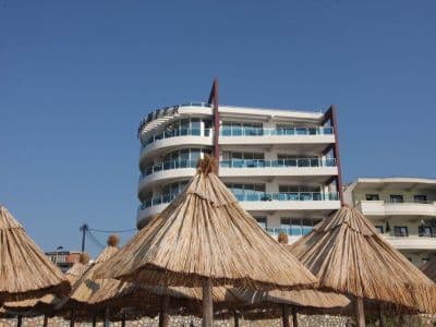
Alla boenden i Dobra Voda →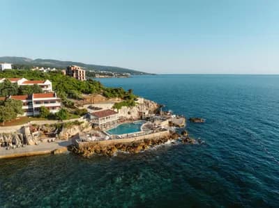


Den fullständiga guiden
Läs guiden till Veliki Pijesak
Allt ovan är kortversionen. Guiden har källorna, sektorkoderna, provtagningsdatumen och det som förändras under en säsong.
Frågor
- Är Veliki Pijesak sand eller grus?
- Mestadels grus och små stenar med sandfläckar, oavsett vad namnet ("stor sand") antyder. Ta med skor för vattenlinjen.
- När är solnedgången som bäst?
- Sent i augusti till mitten av september, när solen går ner nära rakt väster över öppet vatten omkring klockan 19:00–19:45. Beräknade positioner sträcker sig från 238° i december till 302° i juni, och var och en av dem landar i havet.
- Hur tar jag mig dit utan bil?
- Bussar mellan Bar och Ulcinj stannar på kustvägen ovanför stranden: omkring 2 € och 16 minuter från Bars busstation, 20 minuter från Ulcinj. I augusti kan själva vägen lägga till en timme.
Källor
- montenegro.com — Dobra Voda guide (/cities/dobra-voda/dobra-voda-guide) and city hub
- Osman Grgurević, NGO Mrkojevići (mrkojevici.me) — 480 × 29 m; bar.travel — about 380 m, 12,700 m²
- plava-zastavica.org.me — Blue Flag list (Best Sunset, Veliki pijesak, 2026)
- BarInfo — August 2026 bathing-water round (Veliki Pijesak Good); Morsko Dobro monitor
- OpenStreetMap — beach way 156809751 (centre used for the coordinates)