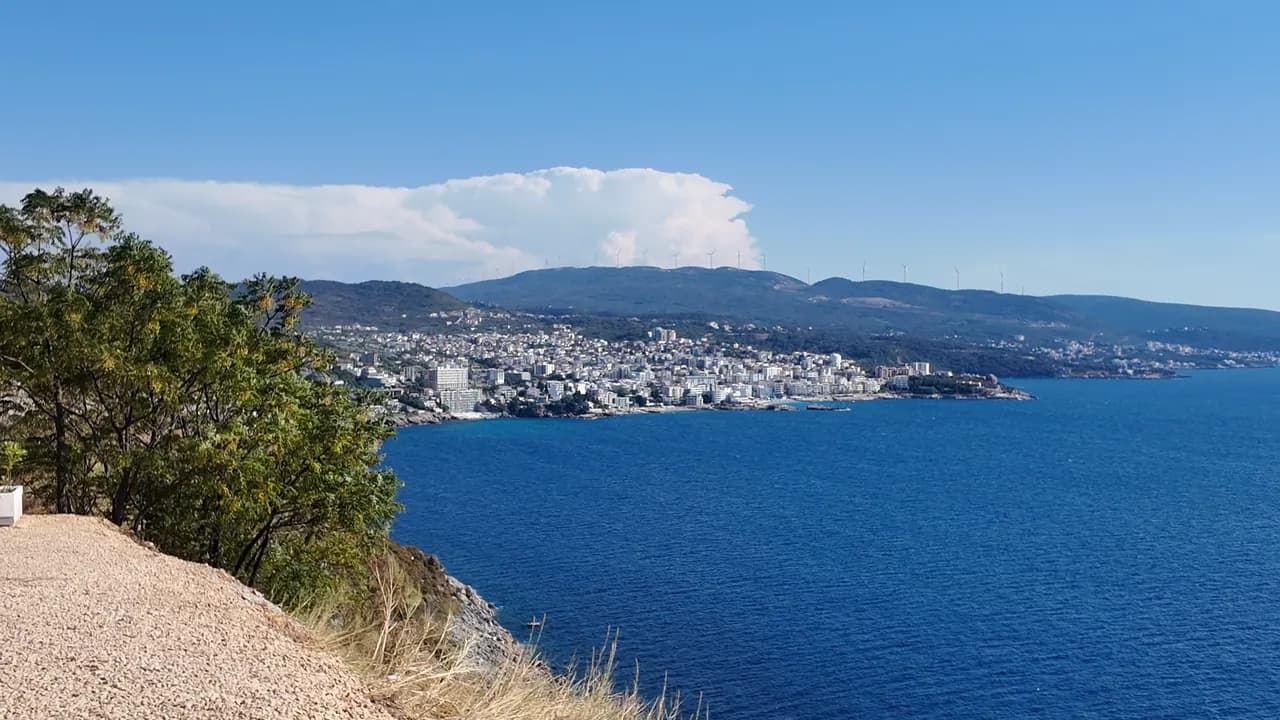
Veliki Pijesak
Veliki pijesak, Dobra Voda
Un arc de 380 à 480 m de galets avec des zones sableuses, un îlot à 23 m du rivage, et un coucher de soleil qui tombe sur la mer ouverte chaque mois de l’année.
Notre verdict
Veliki Pijesak est la plage de station de Dobra Voda : organisée en rangées par trois concessions, une promenade éclairée bordée de cafés, un Pavillon Bleu pour le secteur Best Sunset en 2026, et Veliki Kamen posé dans l’eau juste au large des galets. La géométrie est ici l’essentiel — aucun cap ne vient jamais gêner le coucher de soleil, qui fin août et en septembre se couche presque plein ouest vers 19h30. On vient pour le soir ; la baignade y est bonne mais exposée.
- coucher de soleil
- nage
- familles
- photographie
Veliki Pijesak, en quelques repères
Le rivage
Équipements
Accès
Règles et caractère
Données vérifiées le 28 septembre 2026 · Longueur: Bar tourist board about 380 m (12,700 m²); the geographer Osman Grgurević measured an arc of 480 m averaging 29 m wide · 9 points restent à vérifier sur place
Veliki Pijesak en images
Photographies et images de Montenegro.com, réutilisables sous licence CC BY 4.0. Les nôtres datent du 13 septembre 2026.
Veliki Pijesak en mouvement
La vue depuis le cap nord sur Veliki Pijesak et l’îlot
Le soleil qui descend sur la mer ouverte au large de Veliki Pijesak — la seule plage de cette côte où cela se produit chaque mois de l’année
Photographies et images de Montenegro.com, réutilisables sous licence CC BY 4.0. Les nôtres datent du 13 septembre 2026.
Carte
La zone ombrée est la zone de baignade officielle de la station Veliki pijesak 01 : la portion que JP Morsko dobro prélève réellement, et non le contour de la plage.
Y aller
7.4 km
Bar
14 km
Ulcinj
38 km
Budva
Distances à vol d'oiseau — les routes du Monténégro sont des routes de montagne, le trajet est donc plus long.
- En busBar–Ulcinj coastal lines stop on the road above the beach (about €2 and 16 minutes from Bar station)
- En voitureBar 11.5 km (18 min) and Ulcinj 16.1 km (20 min) in free-flowing traffic; parking is limited and paid — a room with its own space is worth paying for in August
- 5 min à piedavec des marches — Down from the coast road to the lit promenade along the beach; Mali Pijesak is a few minutes further north along it
Aujourd'hui à Veliki Pijesak
L’orientation est calculée depuis le trait de côte OpenStreetMap : « vers la plage » et « de la terre » désignent ce rivage, pas la région. Prévisions par Open-Meteo
Eau et labels
Excellente
Dernier prélèvement officiel 28 septembre 2026 : Excellente
Mer à 20.0 °C lors du prélèvement
9 prélèvements excellents sur 10 durant la saison 2026
Résultat officiel de JP Morsko dobro, station Veliki pijesak 01
Mer ouverte : claire par temps calme, agitée quand les vagues se lèvent ; l’échantillon officiel d’août 2026 était classé bon et non excellent
- Blue Flag 2026 — Best Sunset sector, Veliki pijesakHeld in most seasons since 2015; the flag covers one concession, not the whole beach
À savoir avant de se baigner
- Ouverte à la mer, avec des vagues fréquentes : un visiteur s’y est noyé en septembre 2024 en se portant au secours de sa famille prise dans une mer agitée — ne nagez pas quand les vagues déferlent
- La plage s’érode, perdant de un demi-mètre à un mètre par an ; le talus de galets se raidit après les tempêtes
- L’îlot de Veliki Kamen n’est qu’à environ 23 m des galets — nageurs et petites embarcations y convergent
- En août, la route côtière traversant Veliki Pijesak peut coûter une heure ; c’est aussi le seul chemin pour descendre à la promenade
Quand l'eau est chaude
Veliki Pijesak a atteint son maximum, 27.0 °C, le 31 août 2026, et son minimum, 20.0 °C, le 28 septembre 2026. Chaque point est un prélèvement réel avec la température relevée sur place, et non une moyenne mensuelle recopiée ailleurs.
Le point évidé est le seul prélèvement repassé sous « Excellent ».
Voir les 10 prélèvements
| Prélevé | Mer | Résultat |
|---|---|---|
| 28 septembre 2026 | 20.0 °C | Excellente |
| 14 septembre 2026 | 24.2 °C | Excellente |
| 31 août 2026 | 27.0 °C | Excellente |
| 17 août 2026 | 25.1 °C | Bonne |
| 3 août 2026 | 24.2 °C | Excellente |
| 20 juillet 2026 | 25.2 °C | Excellente |
| 6 juillet 2026 | 21.9 °C | Excellente |
| 22 juin 2026 | 23.8 °C | Excellente |
| 8 juin 2026 | 21.2 °C | Excellente |
| 25 mai 2026 | 20.2 °C | Excellente |
Résultat officiel de JP Morsko dobro, station Veliki pijesak 01
Saison par saison
Veliki Pijesak a fait l'objet de 69 prélèvements depuis 2020 : 66 relevés excellents, 3 en dessous.
La chaleur qu'a atteinte l'eau, saison par saison. La moyenne ne porte que sur les prélèvements de juillet et août : une fenêtre fixe, pour qu'une année où les inspecteurs sont passés tôt ne paraisse pas froide.
Une poignée de saisons est un relevé, pas une tendance : ce que l'on voit ici est la dispersion normale de quelques mesures datées, non la preuve d'une mer qui se réchauffe ou se refroidit. Un point creux signale une saison où un prélèvement est passé sous « excellente ».
| Saison | Prélèvements | Excellente | En dessous | Moyenne juil.-août | Maximum |
|---|---|---|---|---|---|
| 2020 | 9 | 9 | — | 23.5 °C | 26.1 °C |
| 2021 | 10 | 10 | — | 25.1 °C | 26 °C |
| 2022 | 10 | 9 | 1 | 23.9 °C | 26 °C |
| 2023 | 10 | 10 | — | 24.3 °C | 27.2 °C |
| 2024 | 10 | 10 | — | 24.5 °C | 26.2 °C |
| 2025 | 10 | 9 | 1 | 22 °C | 24.9 °C |
| 2026en cours | 10 | 9 | 1 | 24.7 °C | 27 °C |
Résultat officiel de JP Morsko dobro, station Veliki pijesak 01
Plages à proximité
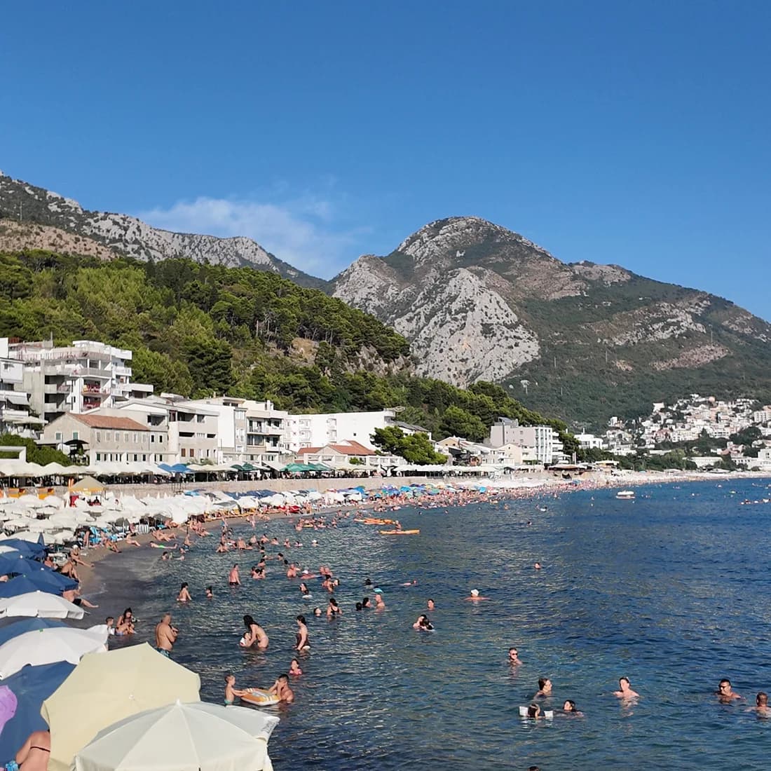
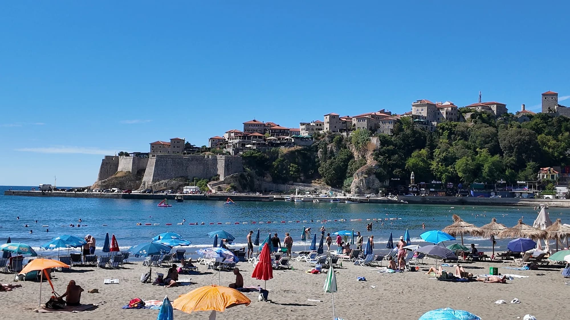
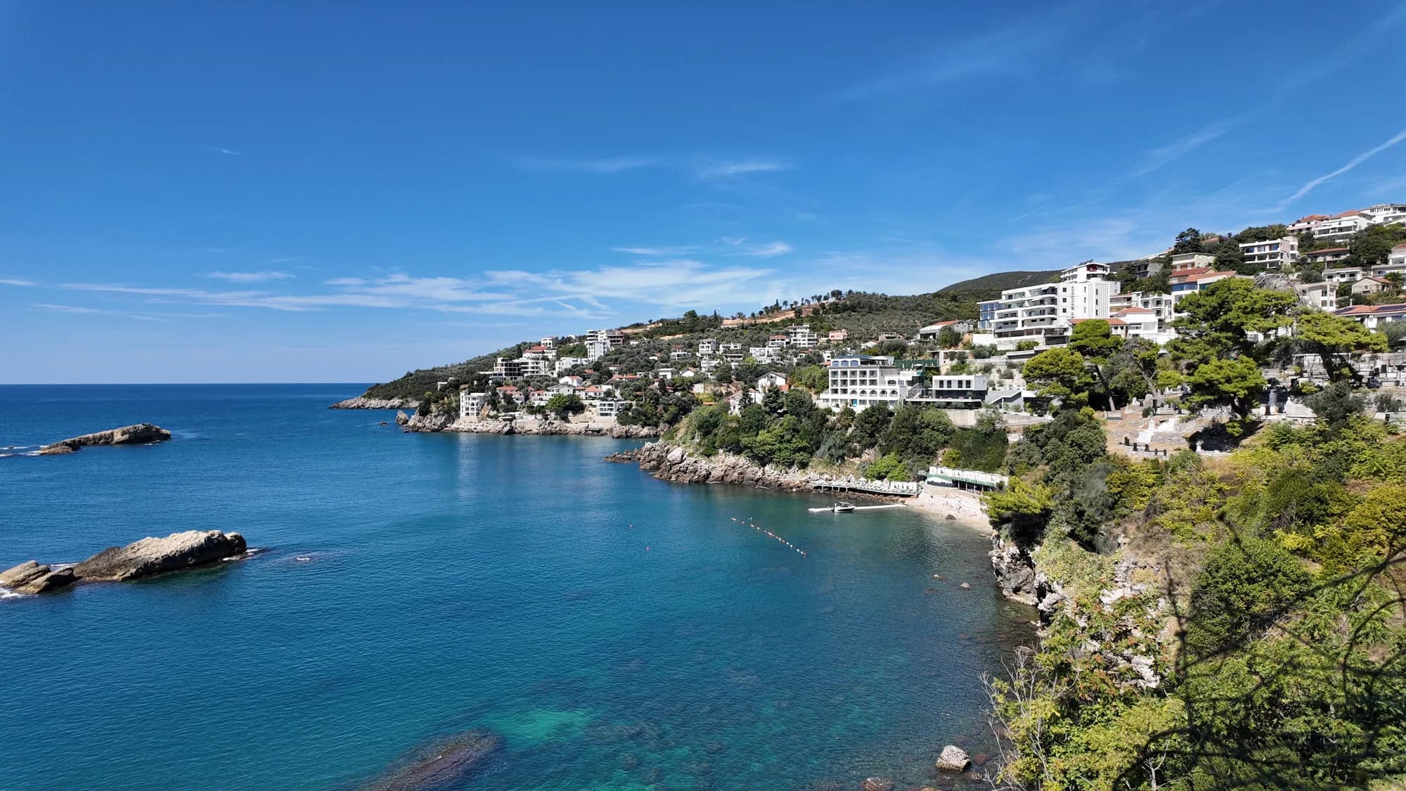
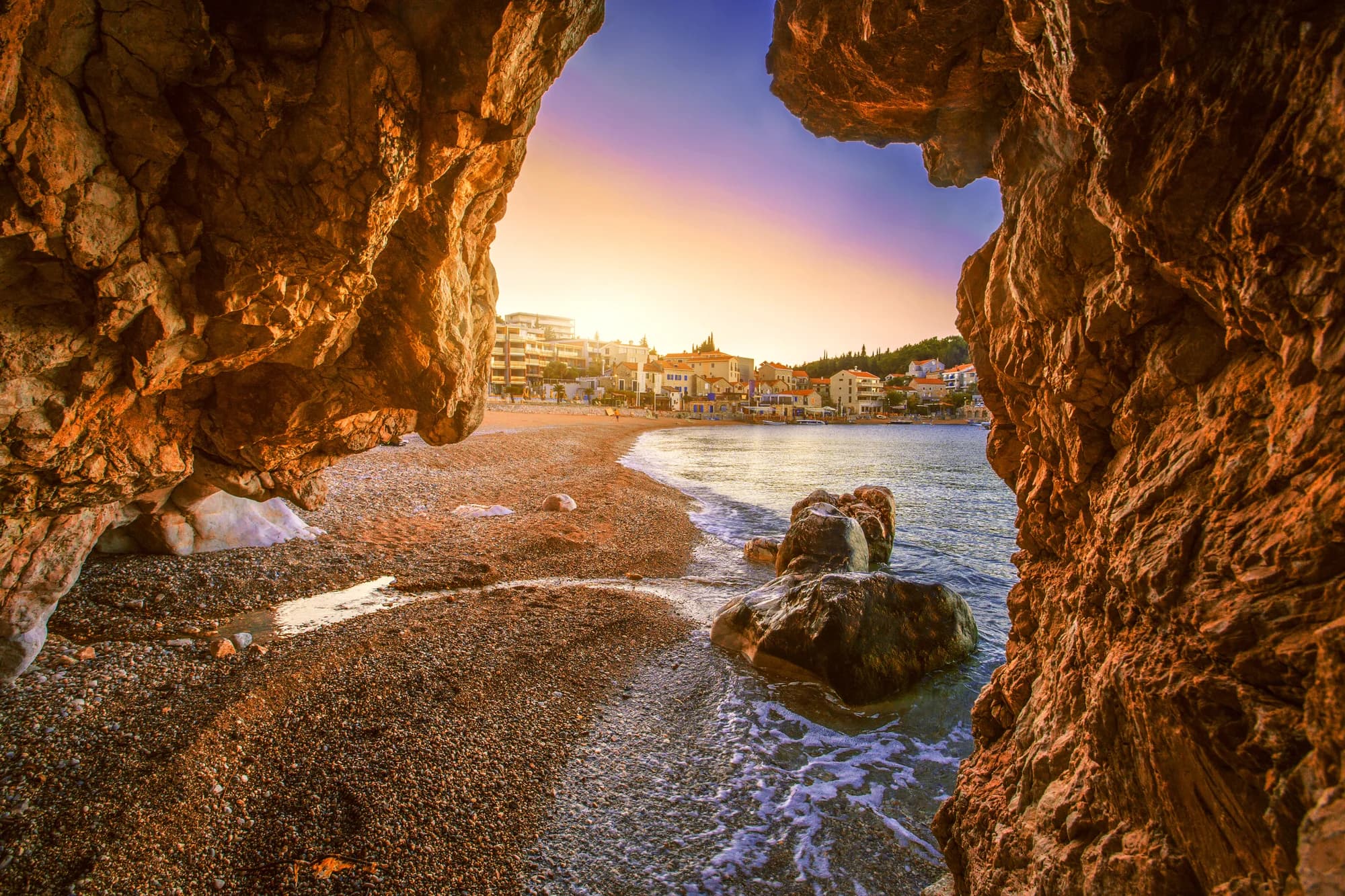
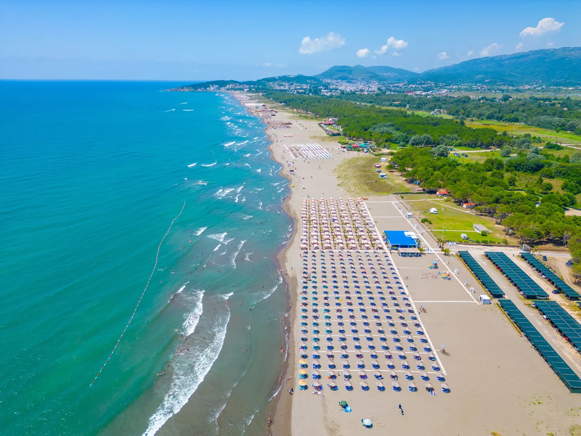
Veliki Pijesak et ses voisines
Les mêmes neuf mesures pour les plages accessibles dans la journée. Le gras signale une différence avec celle-ci.
| Mesure | 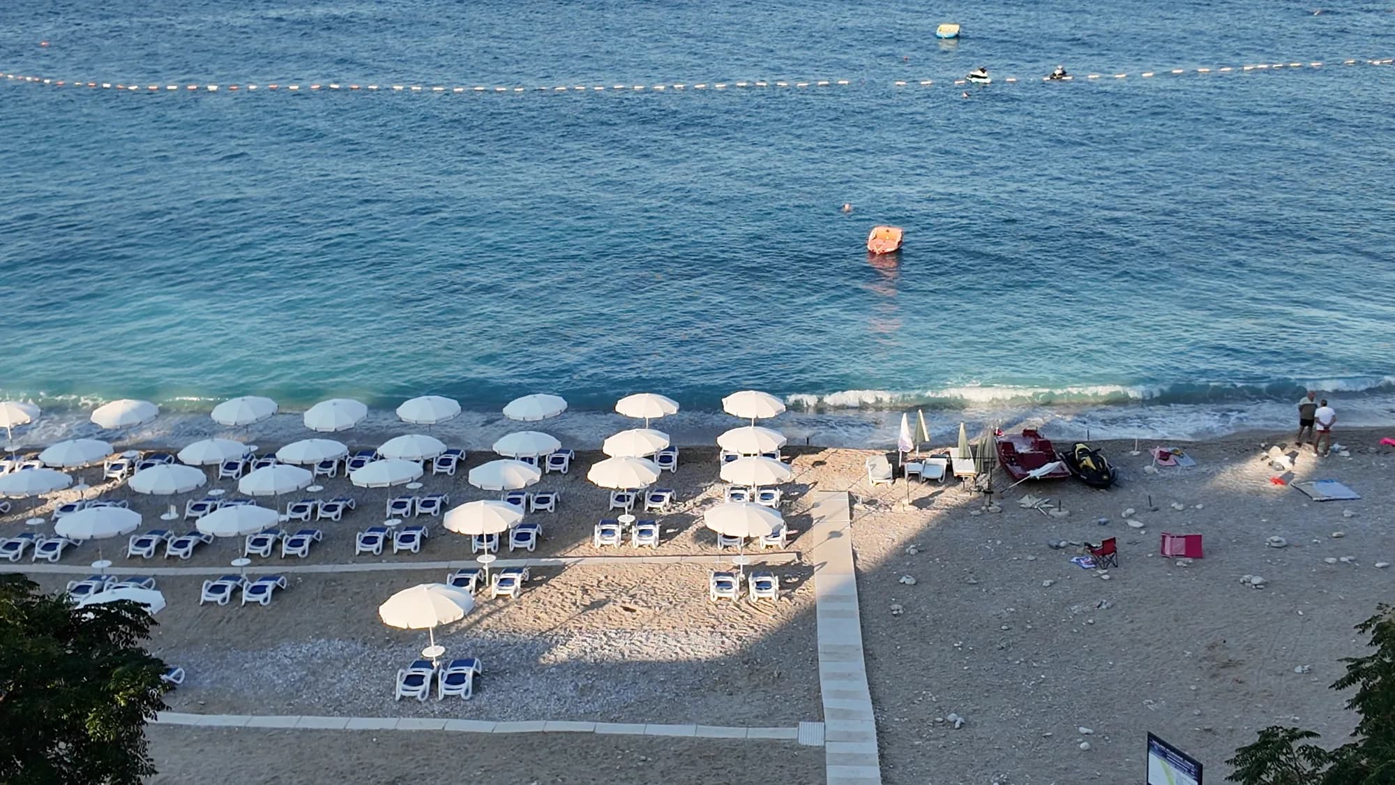 Veliki Pijesakcette plage Veliki Pijesakcette plage | 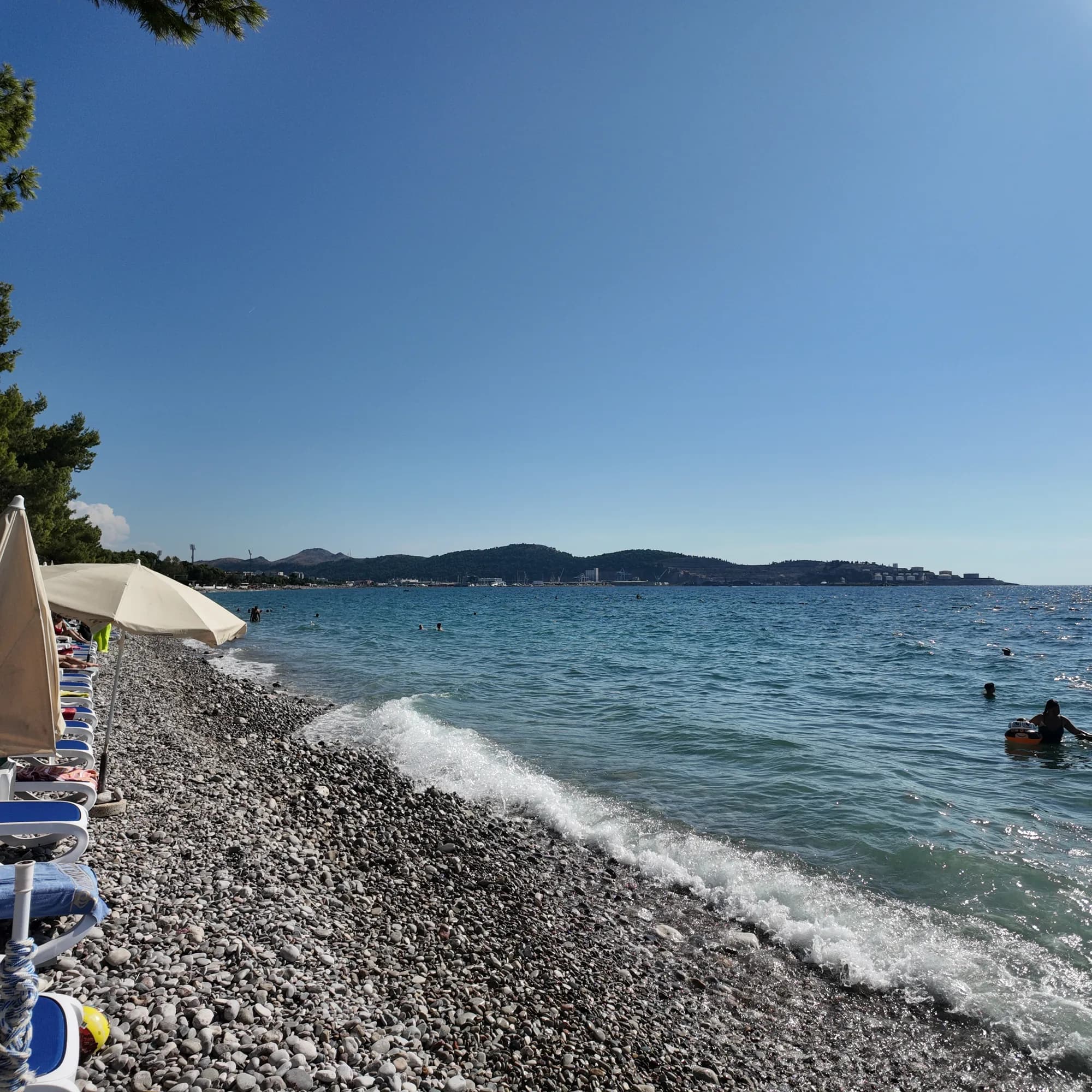 Žukotrlica10.0 km Žukotrlica10.0 km |
|---|---|---|
| Sol | galets | galets |
| Entrée | modérée | modérée |
| Profondeur | profond rapidement | profond rapidement |
| Ombre | parasols à louer | arbres et parasols — diffère |
| Caractère | aménagée | parties aménagées et libres — diffère |
| Longueur | 380–480 m | 1000 m — diffère |
| Dernier prélèvement | Excellente | Excellente |
| Affluence | fréquentée en saison | calme — diffère |
| Accès | en voiture | en voiture |
Dormir près de Veliki Pijesak
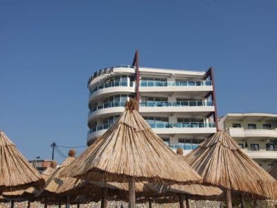
Tous les hébergements à Dobra Voda →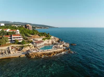


Le guide complet
Lire le guide de Veliki Pijesak
Tout ce qui précède est la version courte. Le guide contient les sources, les codes de secteur, les dates de prélèvement et ce qui change au cours d'une saison.
Questions
- Veliki Pijesak est-elle une plage de sable ou de galets ?
- Surtout des galets et de petits cailloux avec des zones sableuses, quoi que suggère son nom (« grand sable »). Prévoyez des chaussures pour le bord de l’eau.
- Quand voir le plus beau coucher de soleil ?
- De fin août à mi-septembre, quand le soleil se couche presque plein ouest sur la mer ouverte, vers 19h00–19h45. Les positions calculées vont de 238° en décembre à 302° en juin, et chacune d’elles tombe sur la mer.
- Comment y aller sans voiture ?
- Les bus Bar–Ulcinj s’arrêtent sur la route côtière au-dessus de la plage : environ 2€ et 16 minutes depuis la gare routière de Bar, 20 minutes depuis Ulcinj. En août, la route elle-même peut ajouter une heure.
Sources
- montenegro.com — Dobra Voda guide (/cities/dobra-voda/dobra-voda-guide) and city hub
- Osman Grgurević, NGO Mrkojevići (mrkojevici.me) — 480 × 29 m; bar.travel — about 380 m, 12,700 m²
- plava-zastavica.org.me — Blue Flag list (Best Sunset, Veliki pijesak, 2026)
- BarInfo — August 2026 bathing-water round (Veliki Pijesak Good); Morsko Dobro monitor
- OpenStreetMap — beach way 156809751 (centre used for the coordinates)