Strandatlasen
Solnedgång över havet
19 av de 39 stränderna i atlasen.
Budva-rivieran
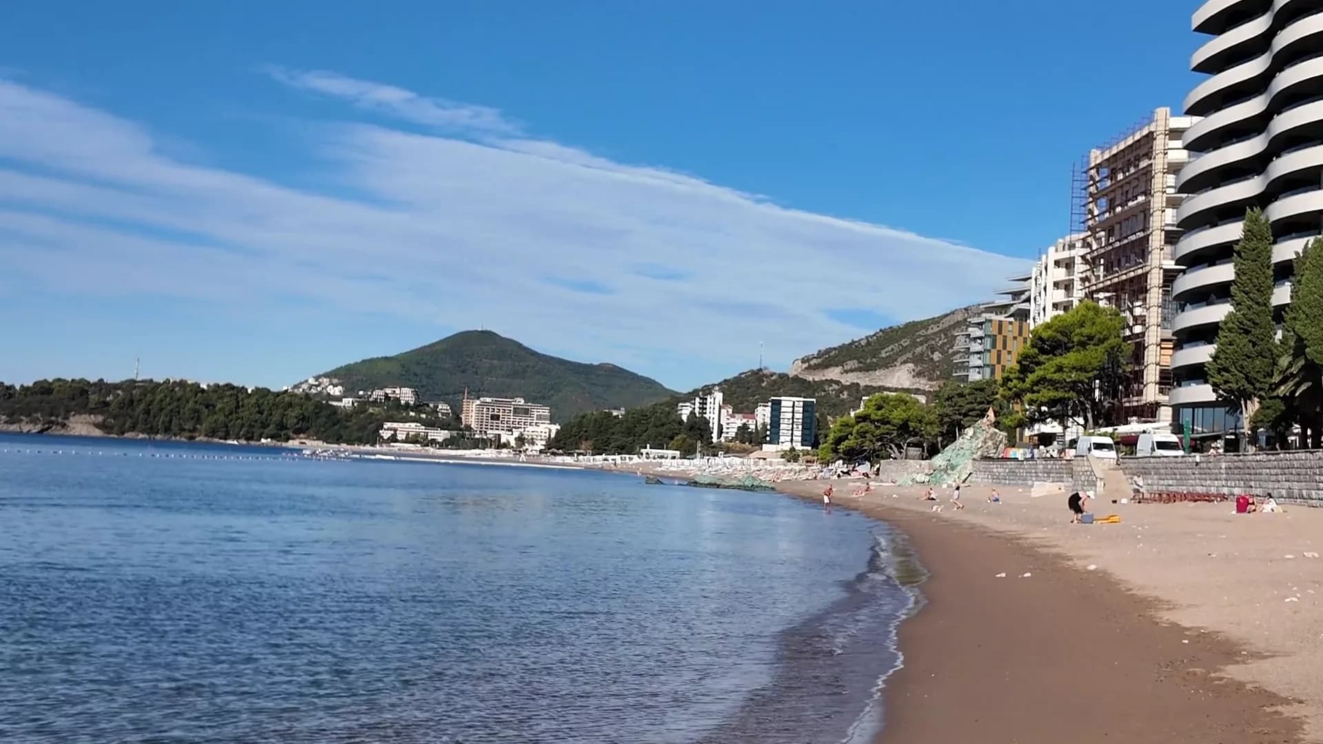
BečićiBečićka plaža
Nästan två kilometer fin sand och grus med en grund strandkant, sex koncessioner med Blå Flagg och ett Paris Grand Prix-pris från 1935.
- Underlag
- sand och fin klappersten
- Ingång
- ingång mjuk
- Karaktär
- organiserade och fria delar
- Längd
- 1.9–2 km
Budva-rivieran
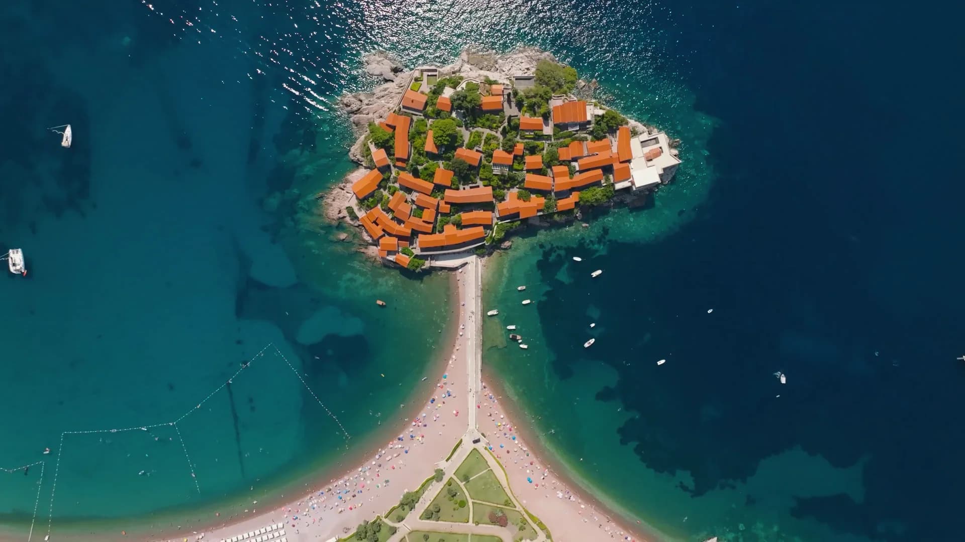
Sveti Stefan
En 300 meter lång strand av rosarött grus på den offentliga sidan av vägbanken till Sveti Stefan, med den befästa ön i varje bildruta.
- Underlag
- sand och fin klappersten
- Ingång
- ingång måttlig
- Karaktär
- organiserad
- Längd
- 300 m

Budva-rivieran
Queen's BeachKraljičina plaža
En vik med ljus sand och grus i Miločer-parken, uppkallad efter drottning Marija på 1930-talet och åter reserverad för Aman-gäster sedan juli 2026.
- Underlag
- sand och fin klappersten
- Ingång
- ingång mjuk
- Karaktär
- organiserad
- Längd
- 100–200 m
Budva-rivieran
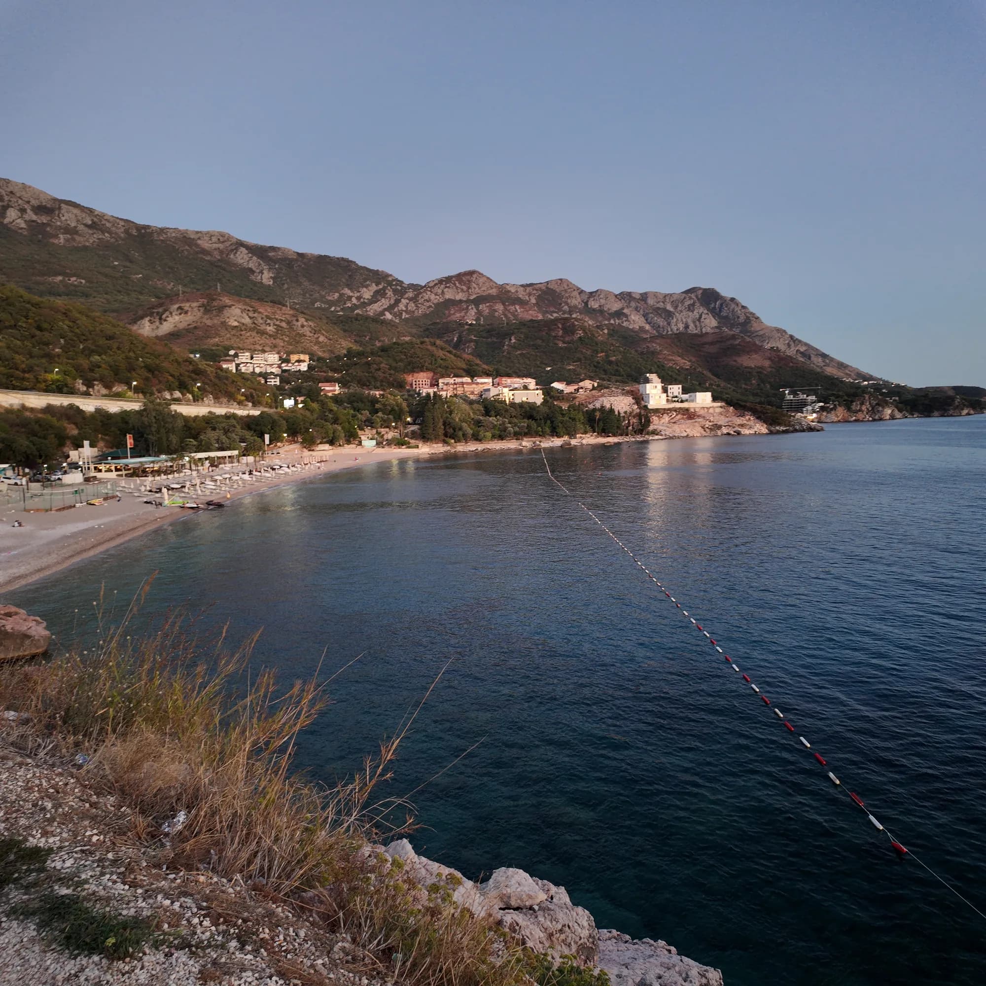
Kamenovo
En 340 meter lång båge av sand och fint grus som nås genom en tunnel i klippan, med de renaste officiella vattenresultaten på rivieran.
- Underlag
- sand och fin klappersten
- Ingång
- ingång mjuk
- Karaktär
- organiserad
- Längd
- 330–350 m

Herceg Novi-rivieran
Žanjiceuvala Žanjic
En 300 meter lång vik med vitt grus nära Lušticas spets, tjugo minuter med båt från Herceg Novi och avgångsplatsen för Blå grottan.
- Underlag
- klappersten
- Ingång
- ingång måttlig
- Karaktär
- organiserad
- Längd
- 300 m
Budva-rivieran
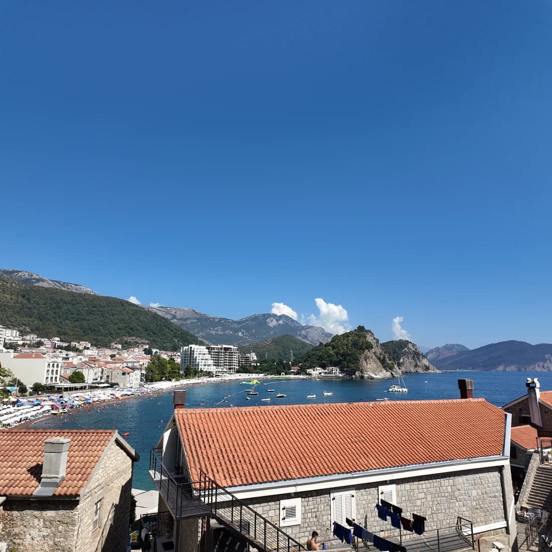
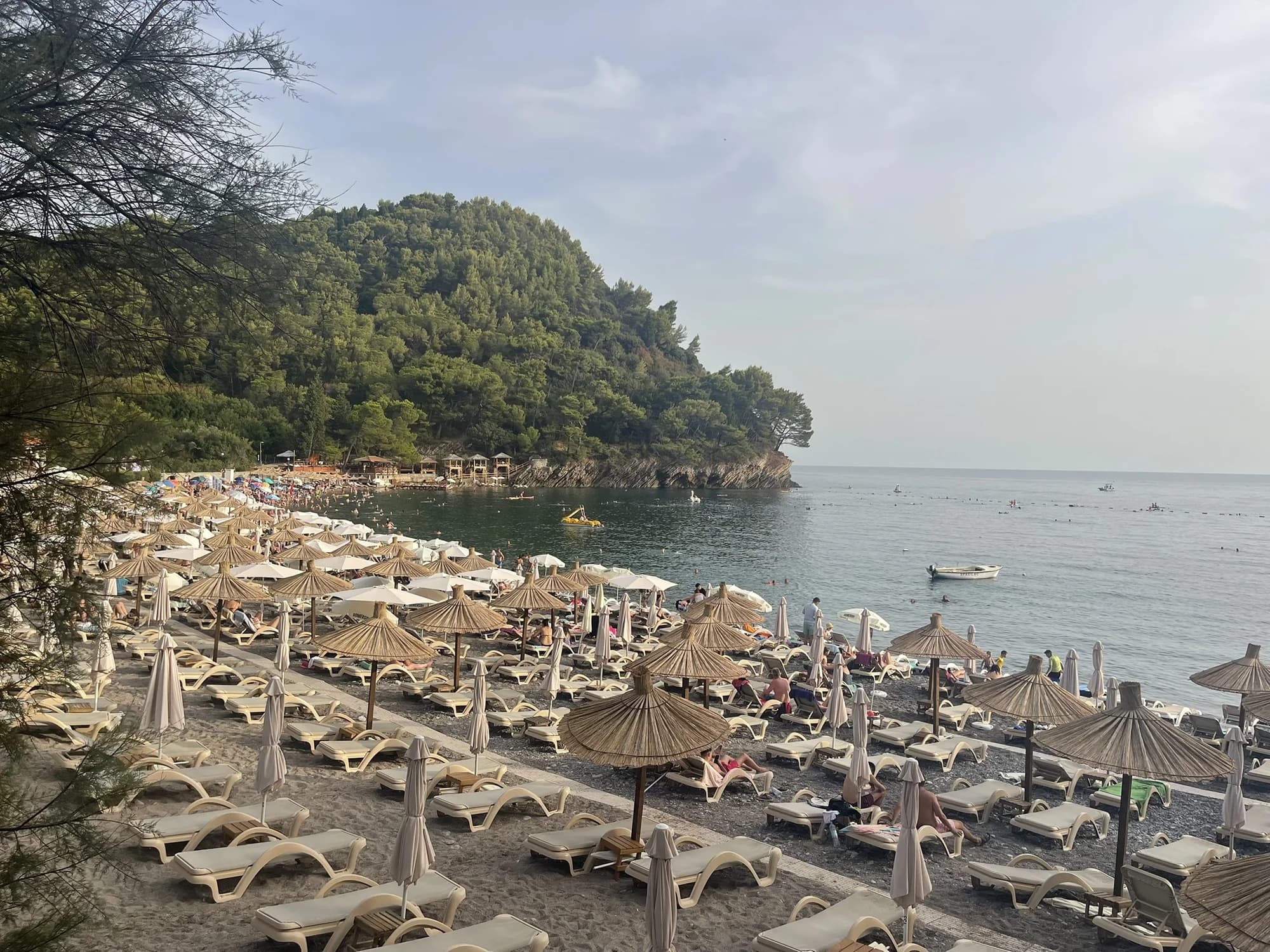
PetrovacPetrovačka plaža
En 600 meter lång halvmåne av rödaktig sand och fint grus med en stadspromenad längs hela sin längd och två kapellprydda holmar utanför kusten.
- Underlag
- sand och fin klappersten
- Ingång
- ingång mjuk
- Karaktär
- organiserad
- Längd
- 600 m
Budva-rivieran
Lučice
En 220 meter lång vik med gyllene sand mellan två tallbevuxna uddar, femton minuters promenad från Petrovac och en plats med Blå Flagg 2026.
- Underlag
- sand och fin klappersten
- Ingång
- ingång mjuk
- Karaktär
- organiserad
- Längd
- 220–250 m

Herceg Novi-rivieran
Mirišta
En 200 meter lång stenvik tio minuter längs kustleden från Žanjice, nedanför fästningen Arza, med träd över strandens bakre del och bara en bråkdel av båtarna.
- Underlag
- klappersten
- Ingång
- ingång måttlig
- Karaktär
- organiserade och fria delar
- Längd
- 200 m
Ulcinj-rivieran
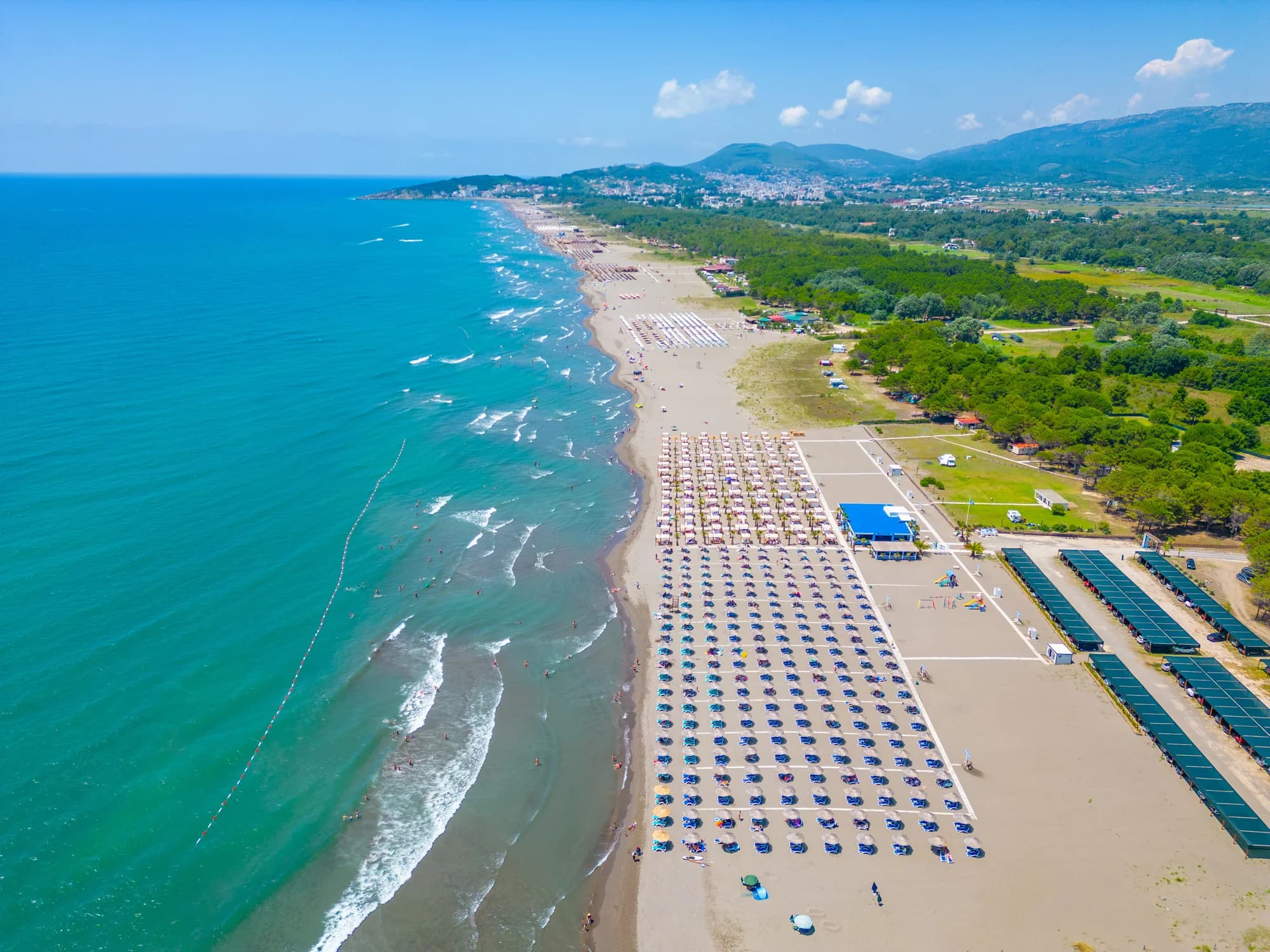
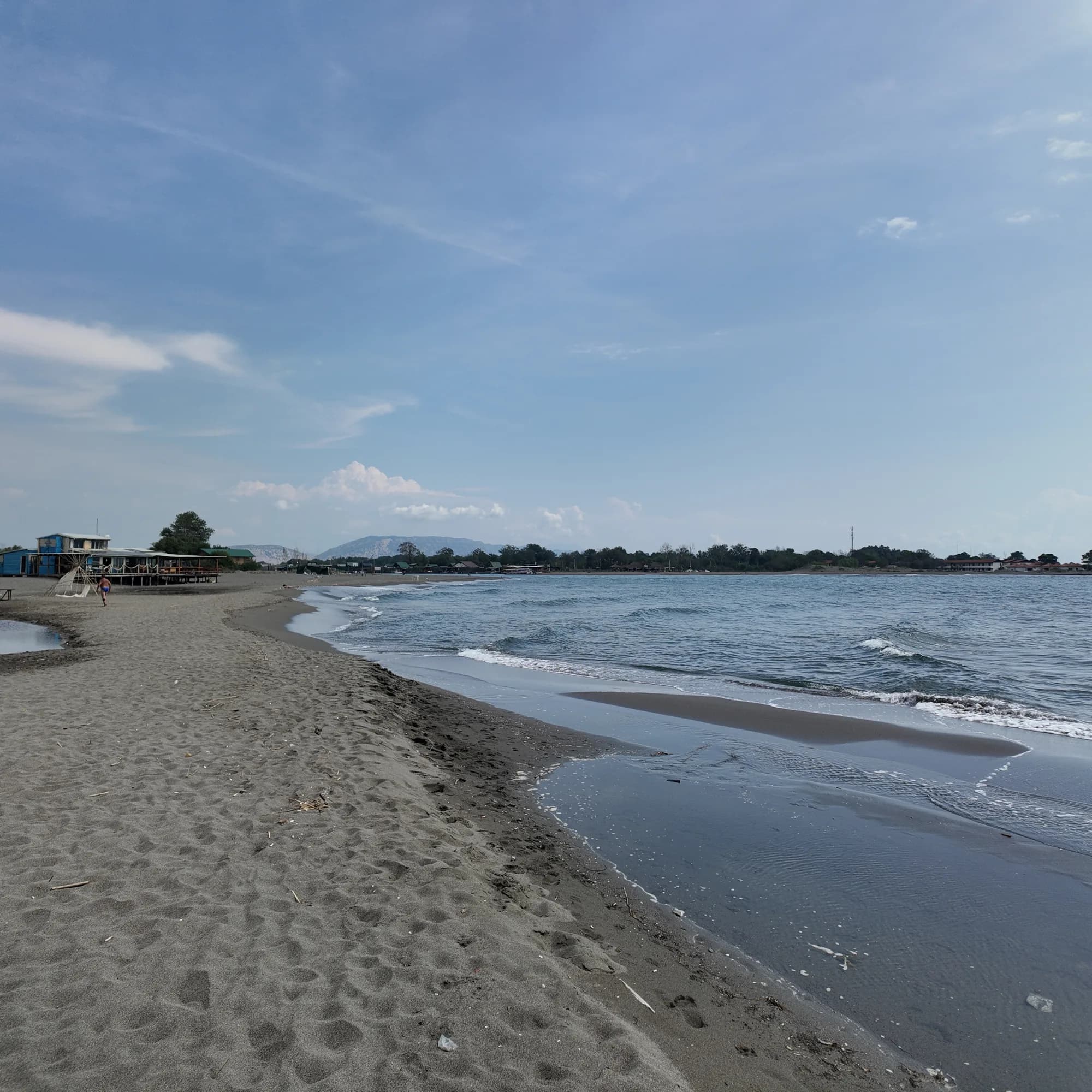
Velika plažaLong Beach
Tolv till tretton kilometer fin mörk sand från Port Milena till Bojanas mynning, grund långt ut och sveps av en termikvind varje sommareftermiddag.
- Underlag
- fin sand
- Ingång
- ingång mjuk
- Karaktär
- organiserade och fria delar
- Längd
- 12–13 km
Ulcinj-rivieran
Ada Bojana
En triangelformad ö av fin sand vid Bojanas mynning, omkring 3 km öppen strand med en skyltad naturistsektion, kiteskolor och fiskrestauranger på pålar över floden.
- Underlag
- fin sand
- Ingång
- ingång mjuk
- Karaktär
- organiserade och fria delar
- Längd
- 3 km

Herceg Novi-rivieran
Dobreč
En 100 meter lång stenvik på Lušticas yttre kust utan väg dit: båten från Herceg Novi är enda vägen in och ut.
- Underlag
- klappersten
- Ingång
- ingång måttlig
- Karaktär
- vild
- Längd
- 100 m
Budva-rivieran
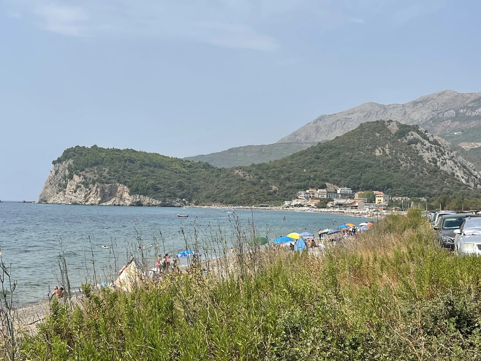
Buljarica
Den längsta stranden på Budvarivieran — 2 250 meter sand, grus och sten med en skyddad våtmark bakom sig, och nästan ingenting byggt på den.
- Underlag
- sand och fin klappersten
- Ingång
- ingång måttlig
- Karaktär
- organiserade och fria delar
- Längd
- 2.2–2.5 km
Tivat och Luštica
Plavi HorizontiPržno (Plavi horizonti)
Blue Horizons: 350 meter fin ljus sand i den skyddade Pržno-bukten på Lušticas sydkust, grund långt ut och med tallar bakom sig — den största sandstranden i Tivats kommun.
- Underlag
- fin sand
- Ingång
- ingång mjuk
- Karaktär
- organiserad
- Längd
- 350 m

Herceg Novi-rivieran
Rose
En grusstrand och en fungerande kaj i fiskebyn vid Lušticas spets, nås med färjan från Herceg Novi snarare än landvägen.
- Underlag
- klappersten
- Ingång
- ingång måttlig
- Karaktär
- vild
- Längd
- 80–150 m
Budva-rivieran
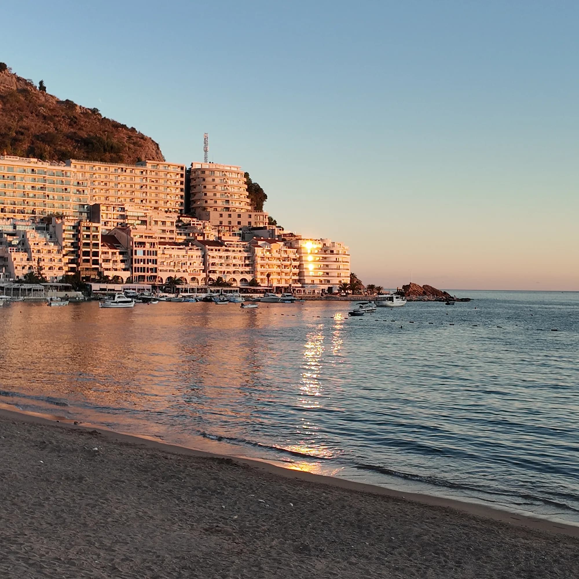
Rafailovići
Fiskebyänden av stranden i Bečići: två skötta sektorer, en fungerande förtöjningsplats, fiskrestauranger på kajen och tunnelstigen till Kamenovo.
- Underlag
- sand och fin klappersten
- Ingång
- ingång mjuk
- Karaktär
- organiserad
- Längd
- 1.9–2 km
Budva-rivieran
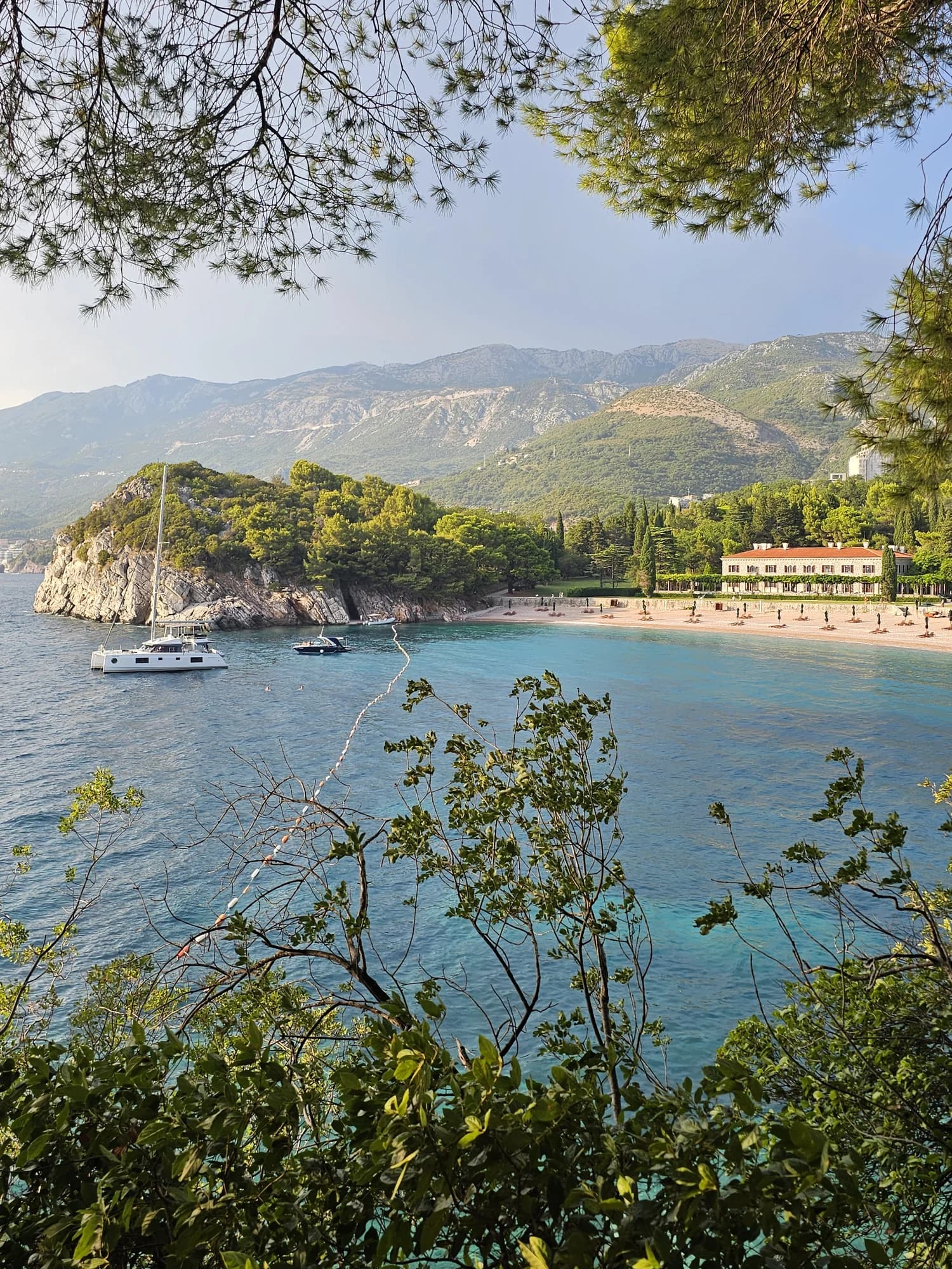
Miločer BeachPlaža Miločer · Kraljeva plaža
A 280-metre strand of pale pink sand and pebble in front of Villa Miločer, backed by the old royal park and wrapped around a clear turquoise bay.
- Underlag
- sand och fin klappersten
- Ingång
- ingång mjuk
- Karaktär
- organiserad
- Längd
- 280 m

Budva-rivieran
Drobni PijesakDrobni pijesak
En 250 meter lång vik med gulvit sand och små stenar nedanför olivlundarna mellan Sveti Stefan och Petrovac, med en sötvattenskälla på stranden.
- Underlag
- sand och fin klappersten
- Ingång
- ingång måttlig
- Karaktär
- organiserade och fria delar
- Längd
- 250 m
Bar-rivieran
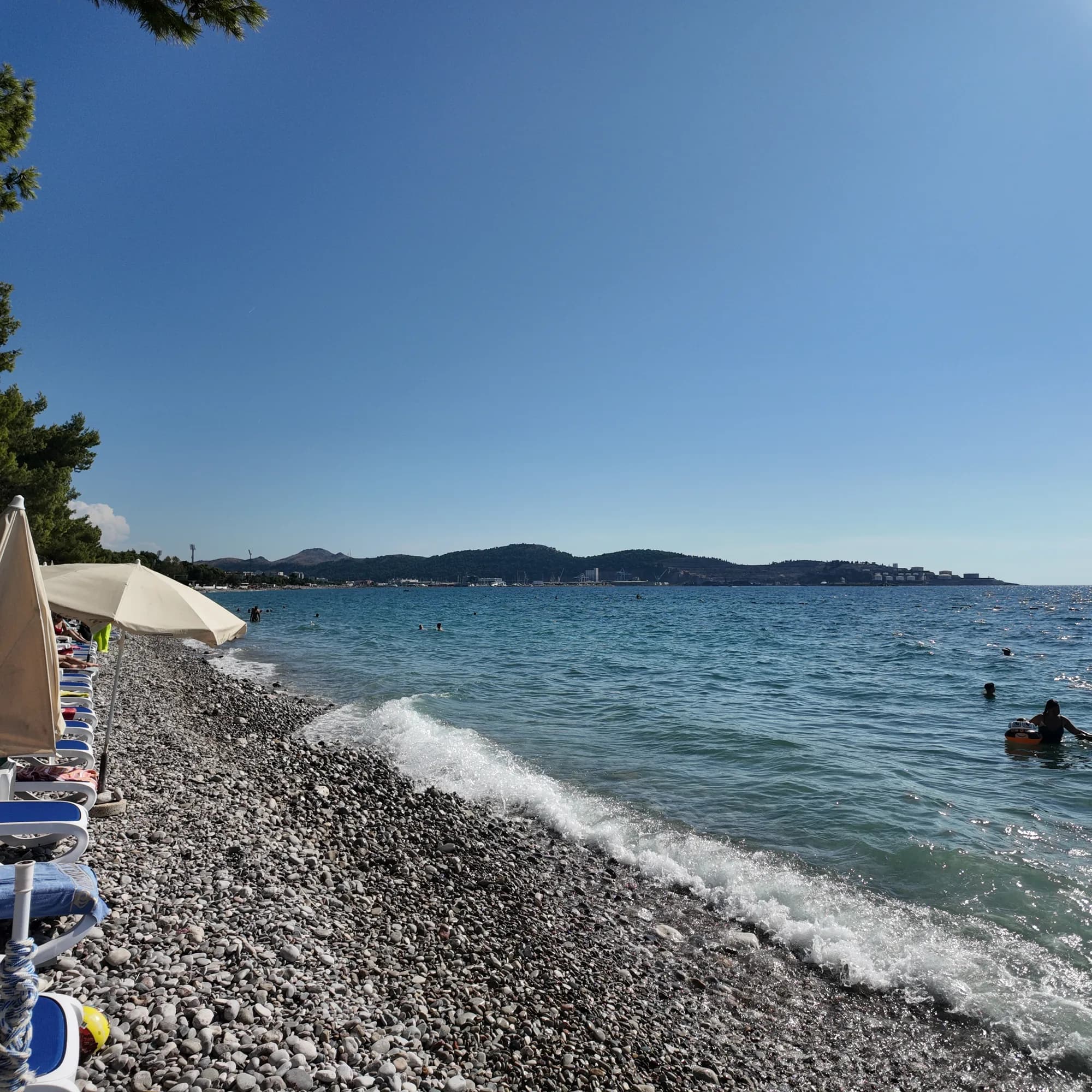
Žukotrlica
En kilometer grus under vuxna alepptallar vid norra änden av Bars strandkant, starten på den 3,6 km långa King's Promenade och stadsstranden lokalbefolkningen använder.
- Underlag
- klappersten
- Ingång
- ingång måttlig
- Karaktär
- organiserade och fria delar
- Längd
- 1000 m
Bar-rivieran
Veliki PijesakVeliki pijesak, Dobra Voda
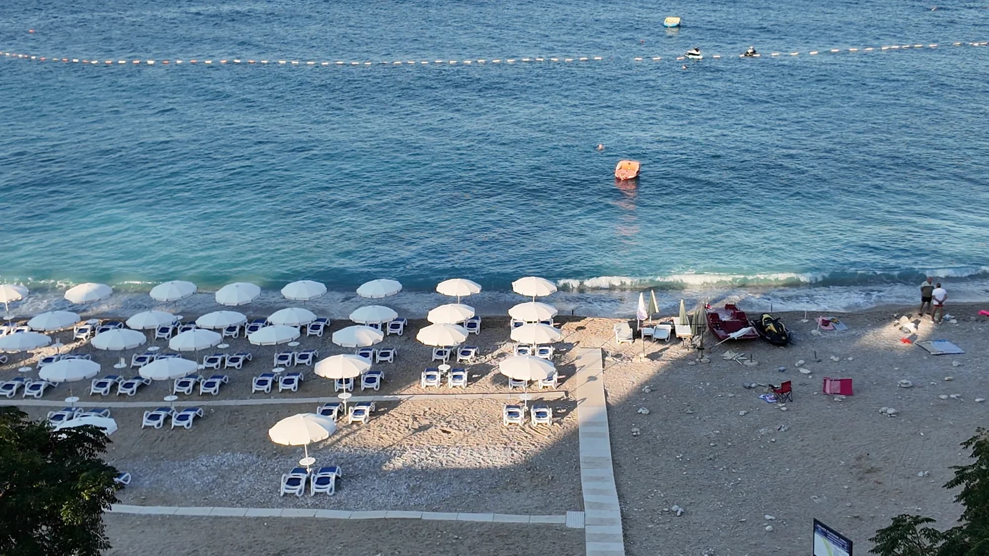
En båge av 380–480 m grusstrand med sandfläckar, en holme 23 m utanför kusten, och en solnedgång som landar i öppet vatten alla årets månader.
- Underlag
- klappersten
- Ingång
- ingång måttlig
- Karaktär
- organiserad
- Längd
- 380–480 m