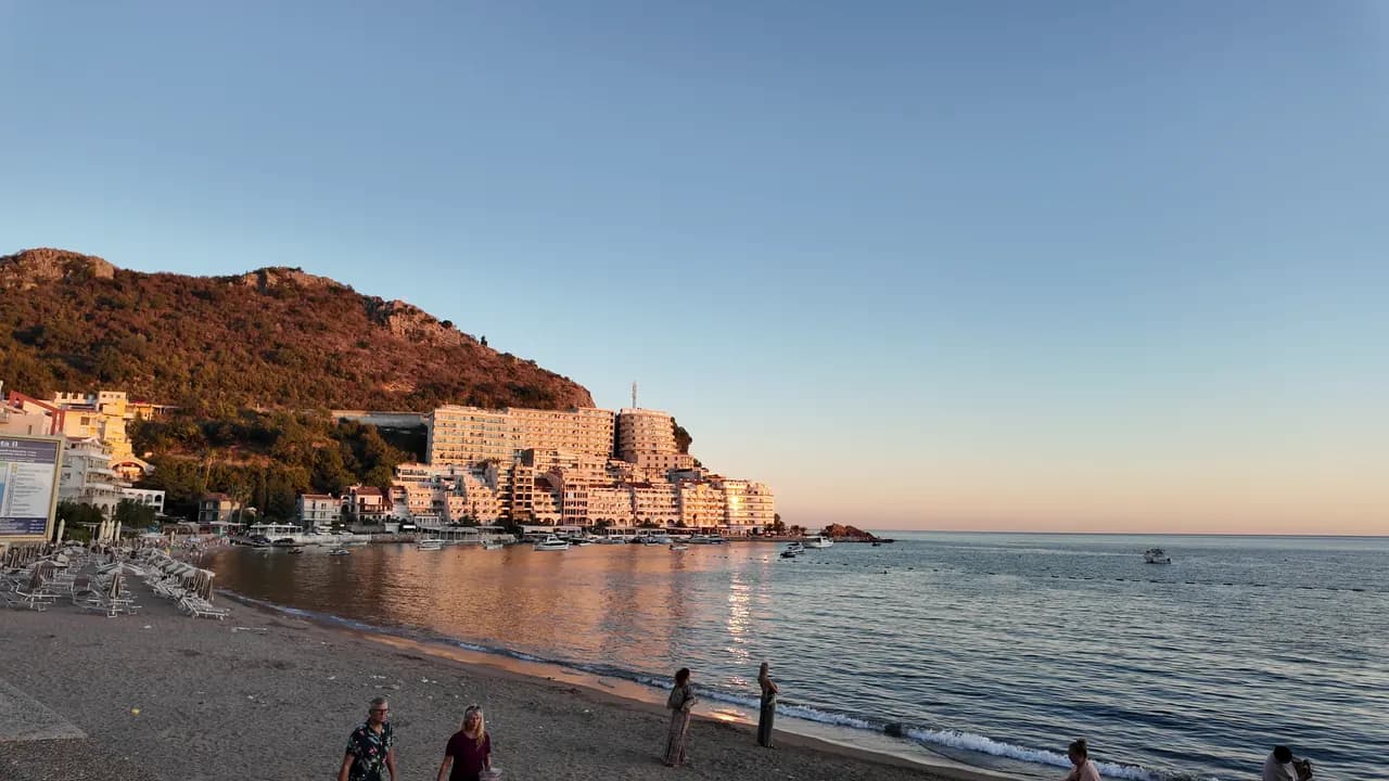
Rafailovići
Fiskebyänden av stranden i Bečići: två skötta sektorer, en fungerande förtöjningsplats, fiskrestauranger på kajen och tunnelstigen till Kamenovo.
Vårt omdöme
Rafailovići är ingen separat bukt utan den kompakta östra änden av stranden i Bečići, där sanden övergår i grus, byggnaderna trängs på udden och en 65 m lång förtöjningsplats fortfarande landar och säljer fångsten. Dess två skötta sektorer, 15D och 16A, följer reglerna för allmänna stränder, och kajrestaurangerna — Porat, Tri Ribara, Obala, Aleksandar — är anledningen till att många kommer. Öster om byn går kustleden under de lagrade klipporna vid Cape Đevištenje och genom en upplyst tunnel till Kamenovo på omkring tio minuter.
- familjer
- vandrare
- simning
- solnedgång
Rafailovići i fakta
Stranden
Faciliteter
Tillgänglighet
Regler och karaktär
Fakta verifierade 28 september 2026 · Längd: Whole Bečići–Rafailovići strand: 1,950 m (sr.wikipedia) to about 2,000 m (Budva Tourism); Rafailovići is its eastern end, sectors 15D and 16A, and no separate official length is published · 11 uppgifter återstår att kontrollera på plats
Rafailovići i bilder
Foto och film av Montenegro.com, fria att återanvända under CC BY 4.0.
Rafailovići i rörelse
Förtöjningsplatsen i Rafailovići på morgonen
Klippskikten vid Cape Đevištenje
Förtöjningsplatsen i skymningen, ljusen som tänds längs kajen
Foto och film av Montenegro.com, fria att återanvända under CC BY 4.0.
Karta
Det skuggade vattnet är den officiella badzonen för mätstation Rafailovići — den sträcka JP Morsko dobro faktiskt provtar, inte strandens kontur.
Hitta hit
3.7 km
Budva
19 km
Kotor
19 km
Tivat airport
Avstånd fågelvägen — Montenegros vägar är bergsvägar, så bilresan är längre.
- På vandringen De sju vikarnaAnhalt: rafailovici
- Med bussBudva–Petrovac and Budva–Sveti Stefan local routes (stop on the main road above the village)
- Med bilAbout 4 km east of Budva; the village streets are narrow and parking scarce — come by bus, taxi or along the promenade from Bečići
- 5 min till fotsmed trappor — From the bus stop on the main road down through the village to the quay
I dag på Rafailovići
Riktningen är beräknad från OpenStreetMaps kustlinje, så pålands- och frånlandsvind gäller just den här stranden och inte regionen. Prognos från Open-Meteo
Vatten och utmärkelser
Utmärkt
Senaste officiella prov 29 september 2026: Utmärkt
Havet 20.6 °C när provet togs
10 av 10 prover utmärkta under säsongen 2026
Officiellt resultat från JP Morsko dobro, mätstation Rafailovići
Östra änden av Bečići-stranden, som övervakas som en egen punkt snarare än tillsammans med sektorerna i väster.
Ingen utmärkelse vi kan belägga för den här stranden. Även frånvaron är information.
Bra att veta innan du badar
- Båttrafik in och ut ur den 65 m långa förtöjningsplatsen vid byänden — håll dig till den uppbojade badzonen
- Kustleden österut till Kamenovo går under en klippa utsatt för stenras och våt klippa efter regn; vänd om ifall avspärrningar är uppe
- Parkering är knapp och gatorna smala — lita inte på "parkering i närheten" i en annons
- Att korsa huvudvägen vid busshållplatsen ovanför byn
När vattnet är varmt
Rafailovići var varmast, 28.0 °C, den 1 september 2026, och kallast, 19.4 °C, den 26 maj 2026. Varje punkt är ett verkligt provtagningsbesök med temperaturen mätt på plats, inte ett månadsmedelvärde hämtat någon annanstans ifrån.
Visa alla 10 provtagningar
| Provtaget | Hav | Resultat |
|---|---|---|
| 29 september 2026 | 20.6 °C | Utmärkt |
| 15 september 2026 | 25.4 °C | Utmärkt |
| 1 september 2026 | 28.0 °C | Utmärkt |
| 18 augusti 2026 | 26.0 °C | Utmärkt |
| 4 augusti 2026 | 25.7 °C | Utmärkt |
| 21 juli 2026 | 24.8 °C | Utmärkt |
| 7 juli 2026 | 21.6 °C | Utmärkt |
| 23 juni 2026 | 23.7 °C | Utmärkt |
| 9 juni 2026 | 24.1 °C | Utmärkt |
| 26 maj 2026 | 19.4 °C | Utmärkt |
Officiellt resultat från JP Morsko dobro, mätstation Rafailovići
Säsong för säsong
Rafailovići har provtagits 69 gånger sedan 2020: 64 av mätningarna utmärkta, 5 under det.
Hur varmt vattnet blev, säsong för säsong. Medelvärdet gäller bara proverna i juli och augusti — ett fast fönster, så att ett år då inspektörerna kom tidigt inte framstår som kallt.
En handfull säsonger är en sammanställning, inte en trend: spridningen här är hur få daterade mätningar ser ut, inte belägg för ett hav som blir varmare eller kallare. En ihålig punkt markerar en säsong där ett prov hamnade under utmärkt.
| Säsong | Prover | Utmärkt | Under | Medel juli–aug. | Varmast |
|---|---|---|---|---|---|
| 2020 | 9 | 9 | — | 23.6 °C | 25.5 °C |
| 2021 | 10 | 9 | 1 | 26.4 °C | 28.5 °C |
| 2022 | 10 | 10 | — | 24.2 °C | 28 °C |
| 2023 | 10 | 9 | 1 | 24.4 °C | 28.1 °C |
| 2024 | 10 | 8 | 2 | 25 °C | 27.7 °C |
| 2025 | 10 | 9 | 1 | 23.1 °C | 25.8 °C |
| 2026pågår | 10 | 10 | — | 24.5 °C | 28 °C |
Officiellt resultat från JP Morsko dobro, mätstation Rafailovići
Upplåten som
Staten arrenderar ut kusten lott för lott. Rafailovići är utlyst som 6 lotter på omkring 409 m strandlinje, var och en med en officiell kategori.
Bland dem: Barnkoloni.
| Kategori | Lotter | Strandlinje |
|---|---|---|
| Familjebad | 5 | 374 m |
| Barnkoloni | 1 | 35 m |
Sammanlagt omkring 8,776 m². Det här är vad som upplåtits, inte vad vi sett: antalet solsängar, toaletter och duschar per lott fastställs i det tecknade avtalet, som inte offentliggörs. Upphandlingar från JP Morsko dobro
Stränder i närheten

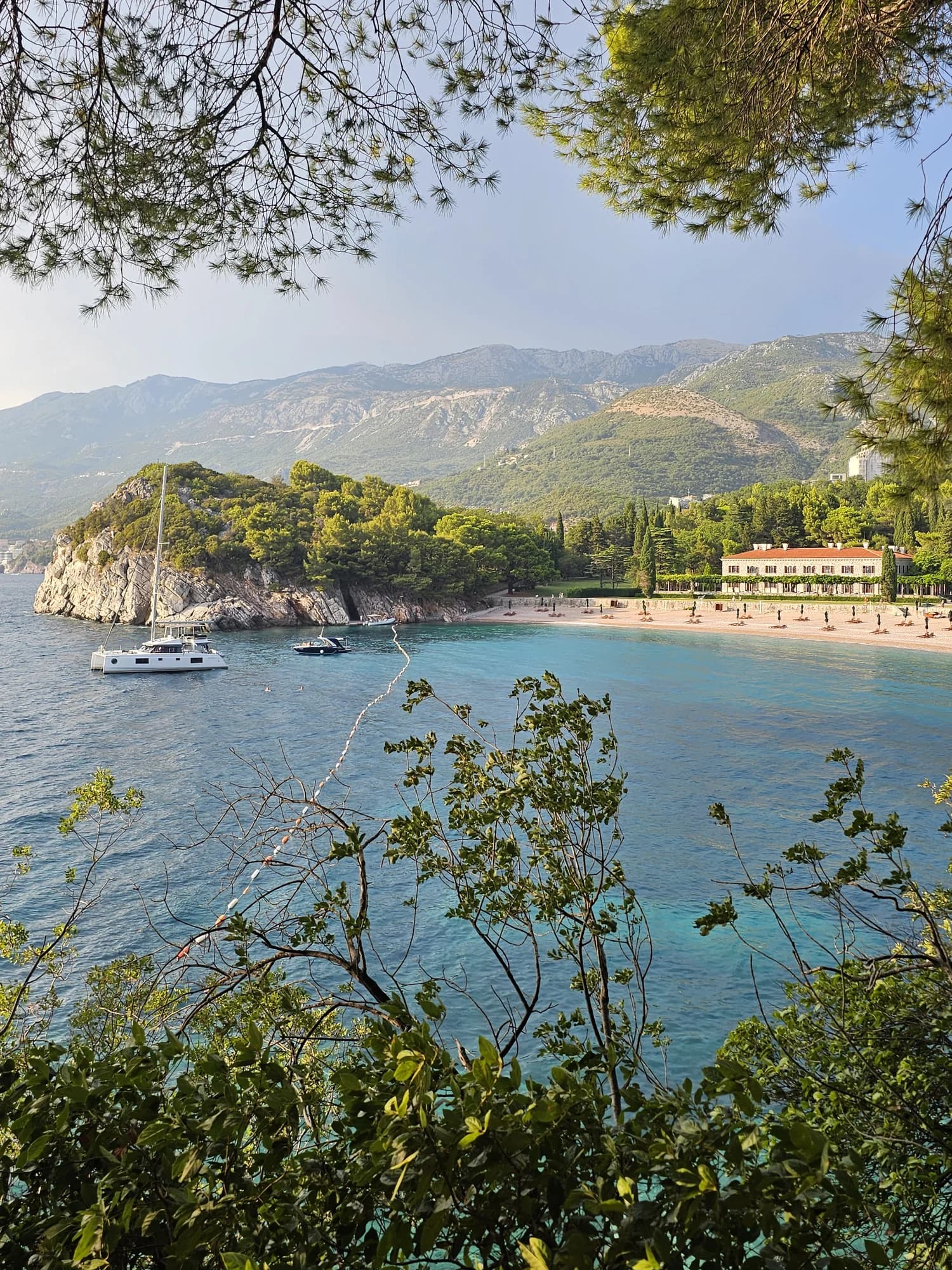
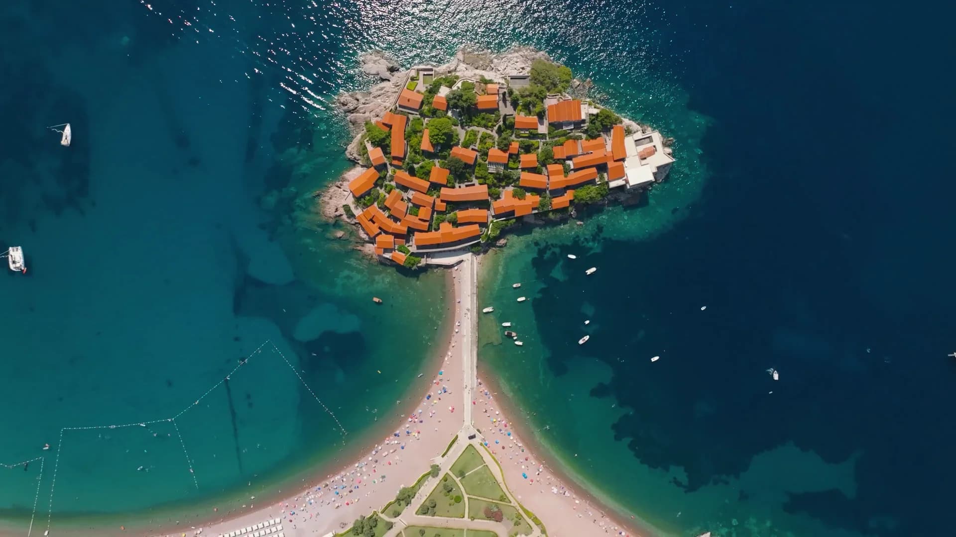
Rafailovići och grannstränderna
Samma nio mått för stränderna du hinner samma dag. Fet stil betyder att det skiljer sig från den här.
| Mått | 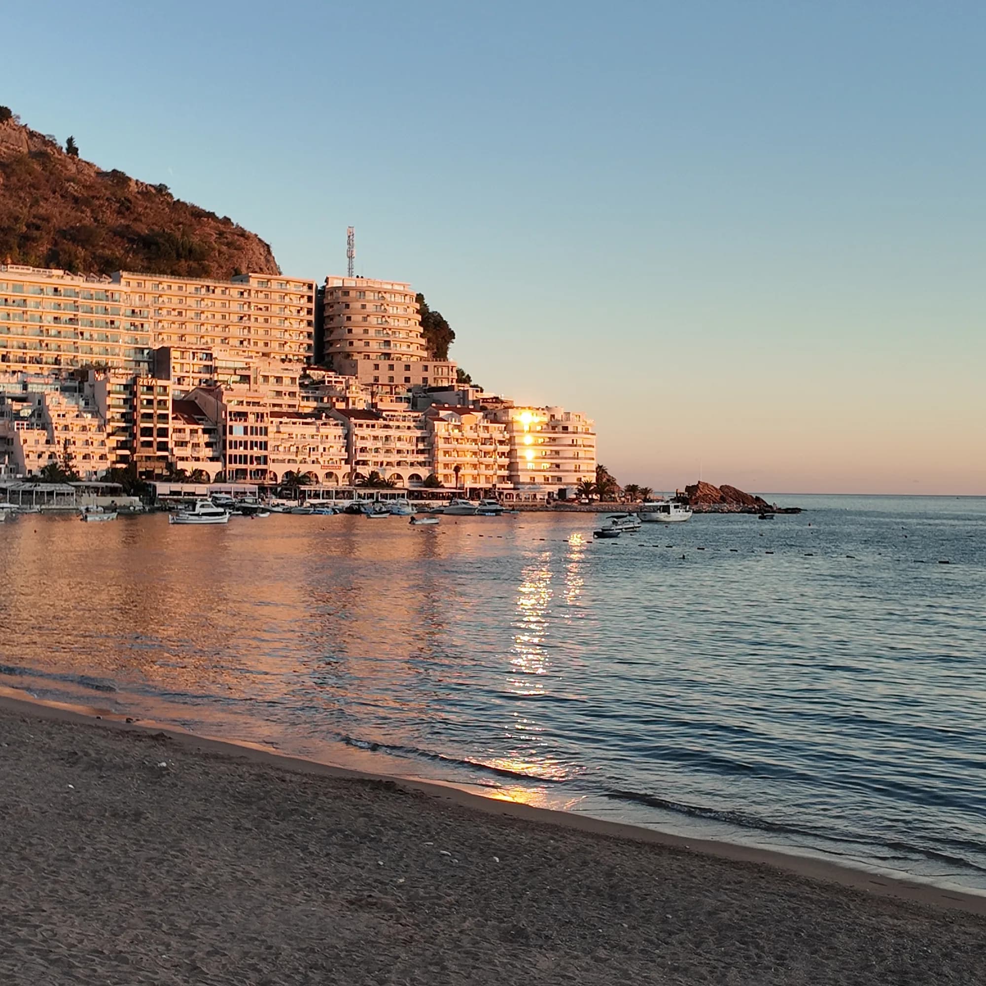 Rafailovićiden här stranden Rafailovićiden här stranden | 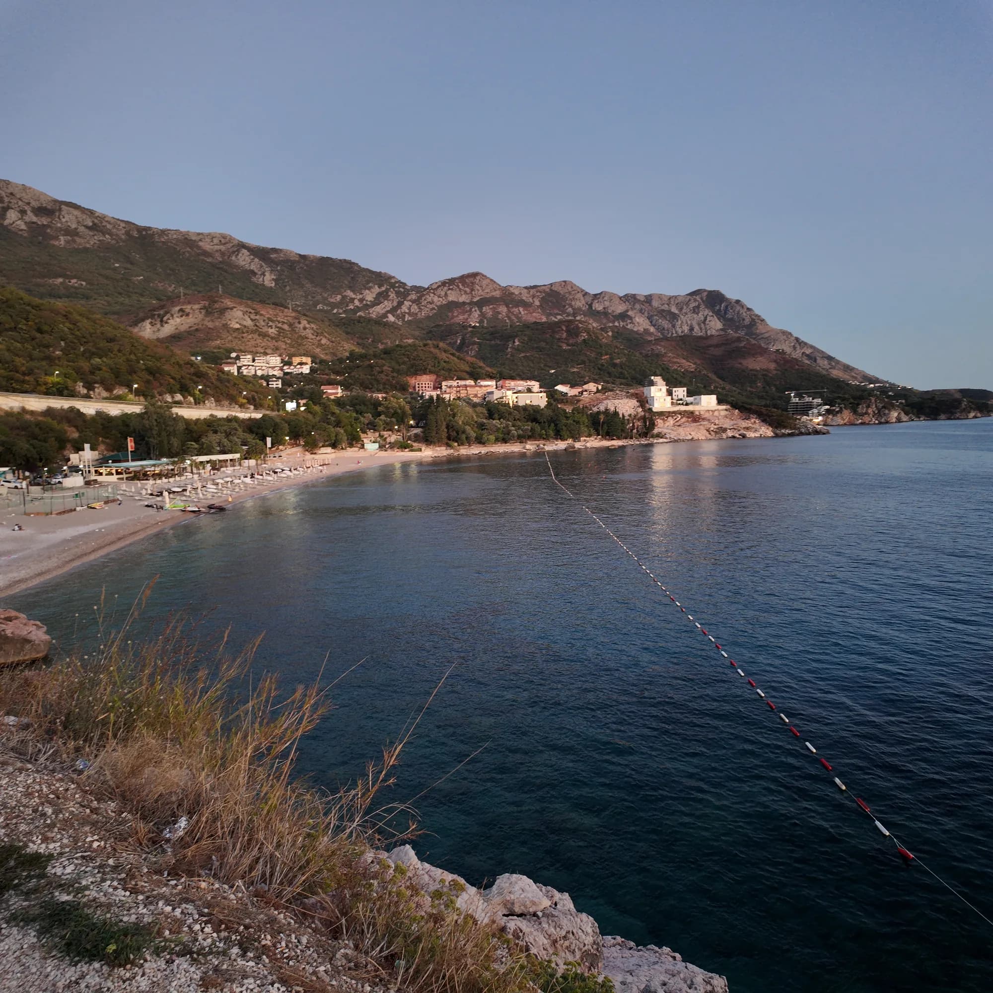 Kamenovo0.6 km Kamenovo0.6 km | 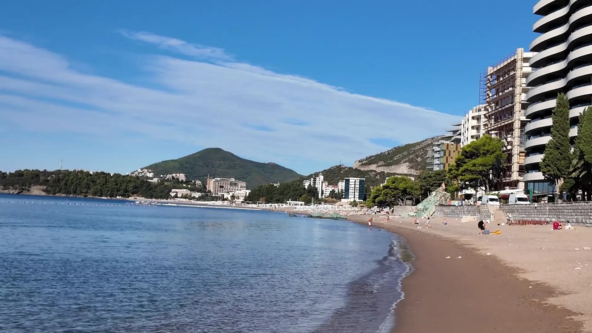 Bečići0.9 km Bečići0.9 km | 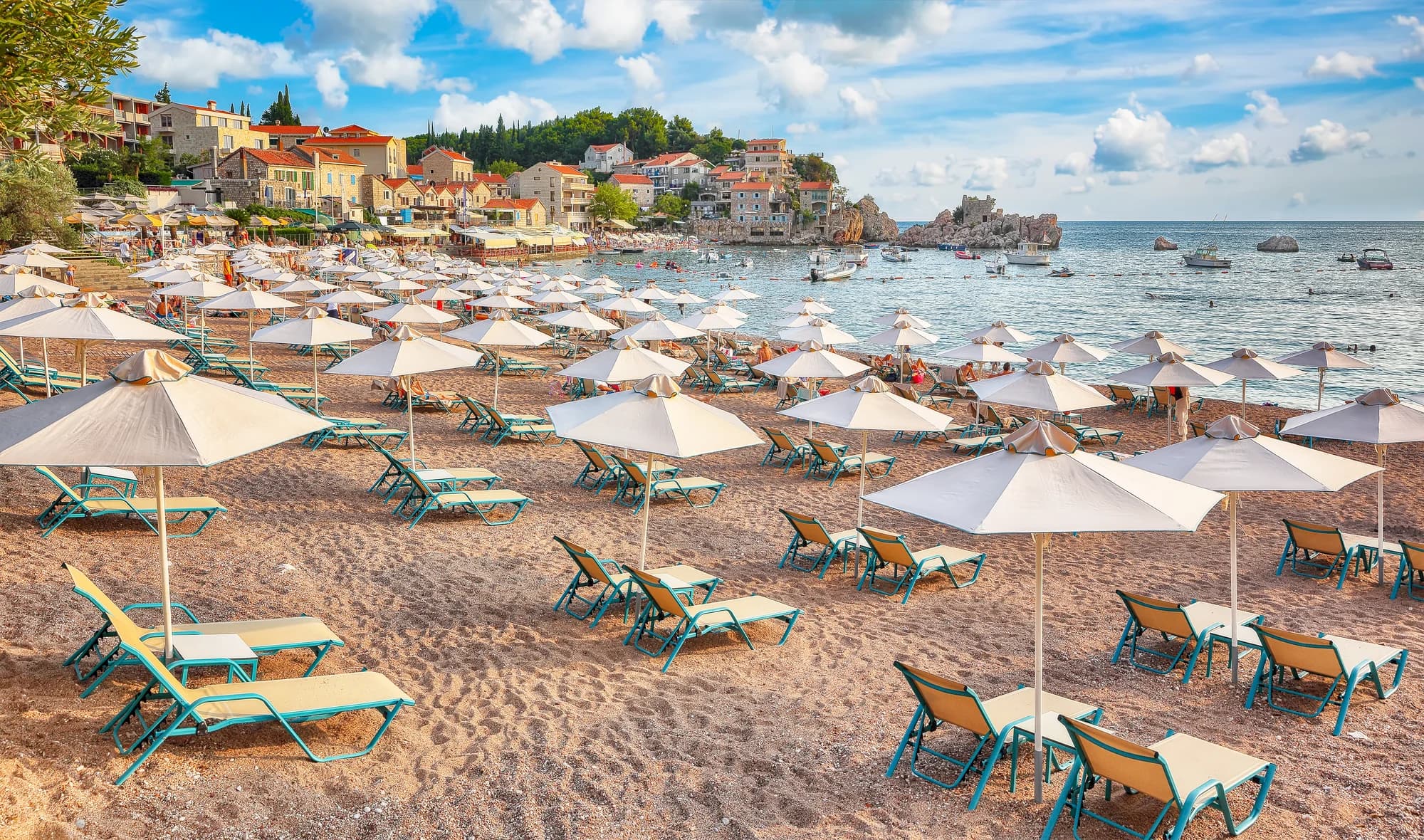 Pržno1.4 km Pržno1.4 km |
|---|---|---|---|---|
| Underlag | sand och fin klappersten | sand och fin klappersten | sand och fin klappersten | sand och fin klappersten |
| Nedgång i vattnet | mjuk | mjuk | mjuk | mjuk |
| Djup | grunt | grunt | grunt | grunt |
| Skugga | parasoller att hyra | parasoller att hyra | träd och parasoller — skiljer sig | parasoller att hyra |
| Karaktär | organiserad | organiserad | organiserade och fria delar — skiljer sig | organiserad |
| Längd | 1.9–2 km | 0.3–0.3 km — skiljer sig | 1.9–2 km | 0.1–0.3 km — skiljer sig |
| Senaste provet | Utmärkt | Utmärkt | Utmärkt | Utmärkt |
| Trängsel | full i säsong | full i säsong | full i säsong | full i säsong |
| Ta dig dit | med bil | med bil | med bil | med bil |
Bo nära Rafailovići
Alla boenden i Rafailovići →
Den fullständiga guiden
Läs guiden till Rafailovići
Allt ovan är kortversionen. Guiden har källorna, sektorkoderna, provtagningsdatumen och det som förändras under en säsong.
Frågor
- Är Rafailovići en separat strand från Bečići?
- Nej. Officiellt material behandlar hela den 2 000 m långa kustlinjen som en enda uppdelad strand; Rafailovići är dess östra ände, med egna kodade sektorer, 15D och 16A, i Budvas register.
- Hur går jag till Kamenovo?
- Från förtöjningsplatsen går du österut längs stranden förbi de lagrade klipporna vid Cape Đevištenje, sedan längs betongstigen under klippan och genom den upplysta tunneln — omkring tio minuter. Vänd om ifall avspärrningar är uppe efter kraftigt regn.
- Hur beställer jag fisk på kajen?
- Fisk säljs efter vikt och grillas med blitva och potatis; fråga om art, ursprung och pris per kilo innan den hamnar på grillen.
Källor
- montenegro.com — Rafailovići fishing village guide (/cities/rafailovici/rafailovici-fishing-village)
- montenegro.com — Rafailovići city hub (/cities/rafailovici)
- Morsko Dobro — Budva bathing-area contract register (sectors 15D, 16A) and 2025 mooring plan, via our guide
- Budva Tourism Organisation — Bečići Beach dimensions, via our guide
- Government of Montenegro / Morsko Dobro — official Blue Flag recipient list 2024 (no Rafailovići entry)
- OpenStreetMap — way 368633707 (beach at the eastern end of the strand), way 207518787 (Bečićka plaža)