Rafailovići
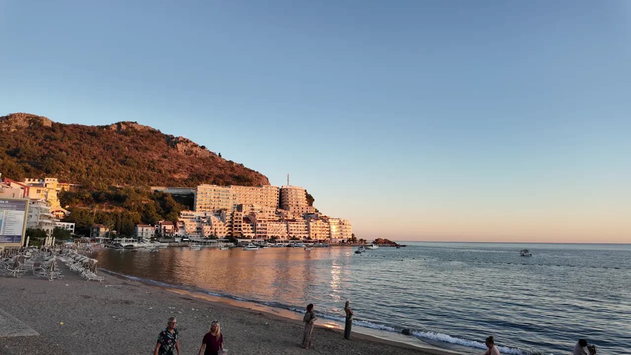
The fishing-village end of the Bečići strand: two managed sectors, a working mooring, fish restaurants on the quay and the tunnel path to Kamenovo.
Our verdict
Rafailovići is not a separate bay but the compact eastern end of the Bečići strand, where the sand turns to pebble, the buildings crowd the headland and a 65 m mooring still lands and sells the catch. Its two managed sectors, 15D and 16A, follow the public-beach rules, and the quay restaurants — Porat, Tri Ribara, Obala, Aleksandar — are the reason many people come. East of the village the coast path runs under the layered rock of Cape Đevištenje and through a lit tunnel to Kamenovo in about ten minutes.
Rafailovići, in facts
The shore
Facilities
Access
Rules and character
Facts verified September 28, 2026 · Length: Whole Bečići–Rafailovići strand: 1,950 m (sr.wikipedia) to about 2,000 m (Budva Tourism); Rafailovići is its eastern end, sectors 15D and 16A, and no separate official length is published · 11 more still to check on the ground
Rafailovići in pictures
Photographs and footage by Montenegro.com, free to reuse under CC BY 4.0.
Rafailovići in motion
The mooring at Rafailovići in the morning
The rock layers of Cape Đevištenje
The mooring at dusk, the lights coming on along the quay
Photographs and footage by Montenegro.com, free to reuse under CC BY 4.0.
Map
The shaded water is the official bathing zone for station Rafailovići — the stretch JP Morsko dobro actually samples, not an outline of the beach.
Getting there
3.7 km
Budva
19 km
Kotor
19 km
Tivat airport
Straight-line distances — Montenegro's roads are mountain roads, so the drive is longer.
- On the The Seven Bays walkStop: rafailovici
- By busBudva–Petrovac and Budva–Sveti Stefan local routes (stop on the main road above the village)
- By carAbout 4 km east of Budva; the village streets are narrow and parking scarce — come by bus, taxi or along the promenade from Bečići
- 5 min on footwith steps — From the bus stop on the main road down through the village to the quay
Today at Rafailovići
Which way the beach faces is computed from the OpenStreetMap coastline, so onshore and offshore mean this shore and not the region. Forecast by Open-Meteo
Water and awards
Excellent
Latest official sample September 29, 2026: Excellent
Sea 20.6 °C when the sample was taken
10 of 10 samples Excellent across the 2026 season
Official result from JP Morsko dobro, station Rafailovići
The eastern end of the Bečići strand, monitored as its own point rather than with the sectors to the west
No award we can cite for this beach. Absence is information too.
Know before you swim
- Boat traffic in and out of the 65 m mooring at the village end — keep to the buoyed bathing zone
- The coast path east to Kamenovo runs under a cliff exposed to rockfall and wet rock after rain; turn back if barriers are up
- Parking is scarce and the streets narrow — do not rely on "parking nearby" in a listing
- Crossing the main road at the bus stop above the village
When the water is warm
Rafailovići was at its warmest, 28.0 °C, on September 1, 2026, and at its coldest, 19.4 °C, on May 26, 2026. Every point is a real sampling visit with the temperature read on the spot, not a monthly average copied from somewhere else.
See all 10 samplings
| Sampled | Sea | Result |
|---|---|---|
| September 29, 2026 | 20.6 °C | Excellent |
| September 15, 2026 | 25.4 °C | Excellent |
| September 1, 2026 | 28.0 °C | Excellent |
| August 18, 2026 | 26.0 °C | Excellent |
| August 4, 2026 | 25.7 °C | Excellent |
| July 21, 2026 | 24.8 °C | Excellent |
| July 7, 2026 | 21.6 °C | Excellent |
| June 23, 2026 | 23.7 °C | Excellent |
| June 9, 2026 | 24.1 °C | Excellent |
| May 26, 2026 | 19.4 °C | Excellent |
Season by season
Rafailovići has been sampled 69 times since 2020: 64 of those readings Excellent, 5 below it.
How warm the water got, season by season. The average is of the July and August samplings only — a fixed window, so a year the inspectors happened to come early does not read as a cold one.
A handful of seasons is a record, not a trend: the spread here is what a few dated readings look like, not evidence of a sea warming or cooling. A hollow point marks a season that recorded a sampling below Excellent.
| Season | Samplings | Excellent | Below | Jul–Aug mean | Warmest |
|---|---|---|---|---|---|
| 2020 | 9 | 9 | — | 23.6 °C | 25.5 °C |
| 2021 | 10 | 9 | 1 | 26.4 °C | 28.5 °C |
| 2022 | 10 | 10 | — | 24.2 °C | 28 °C |
| 2023 | 10 | 9 | 1 | 24.4 °C | 28.1 °C |
| 2024 | 10 | 8 | 2 | 25 °C | 27.7 °C |
| 2025 | 10 | 9 | 1 | 23.1 °C | 25.8 °C |
| 2026in progress | 10 | 10 | — | 24.5 °C | 28 °C |
Licensed as
The state leases this coast lot by lot. Rafailovići is tendered as 6 lots covering about 409 m of shore, each with an official category.
Among them: Children’s holiday camp.
| Category | Lots | Shore |
|---|---|---|
| Family bathing | 5 | 374 m |
| Children’s holiday camp | 1 | 35 m |
About 8,776 m² in total. This is what has been licensed, not what we saw: the number of sunbeds, toilets and showers on a lot is fixed in the signed lease, which is not published. JP Morsko dobro tenders
Nearby beaches

Rafailovići and its neighbours
The same nine measures for the beaches you could reach the same day. Bold means it differs from this one.
| Measure | 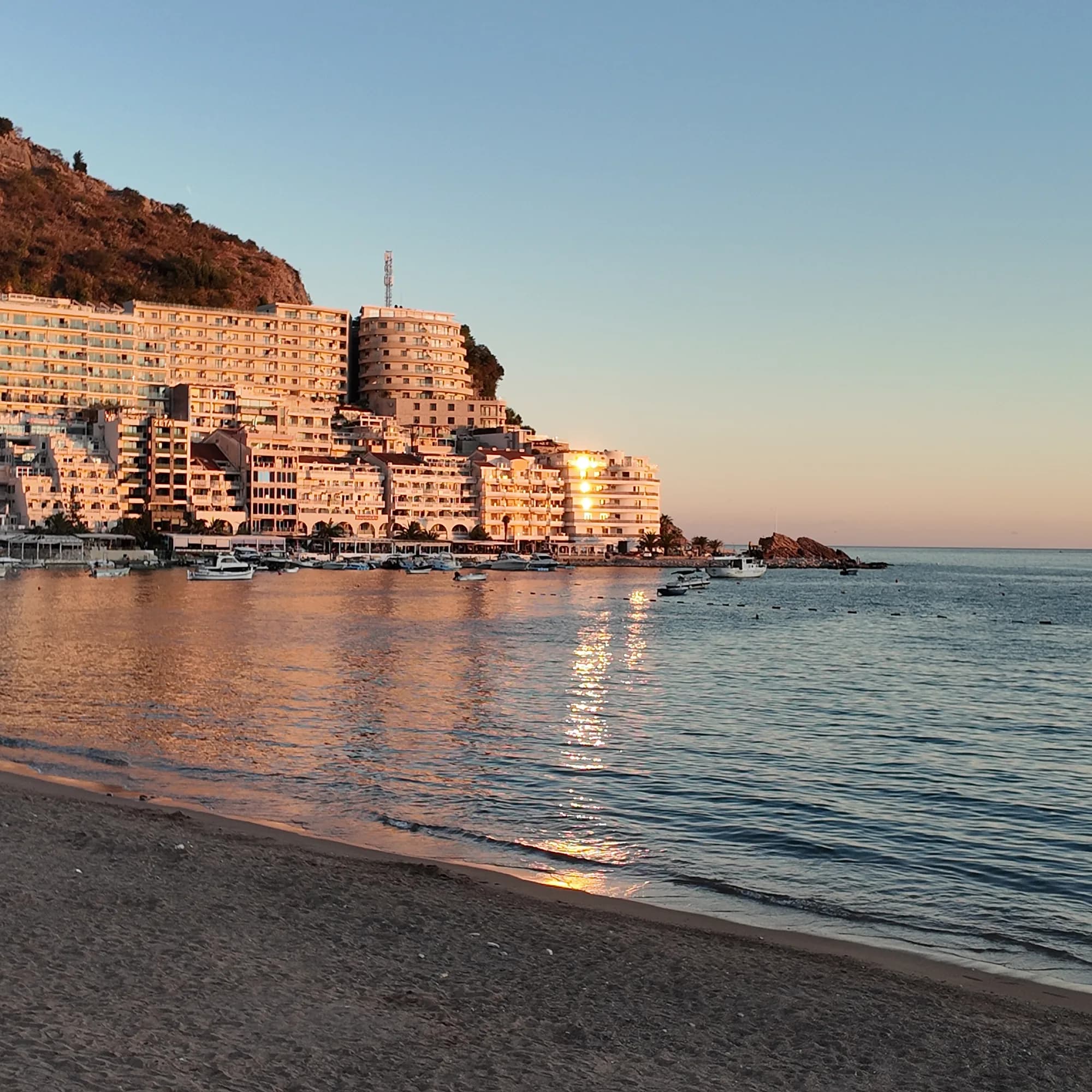 Rafailovićithis beach Rafailovićithis beach | 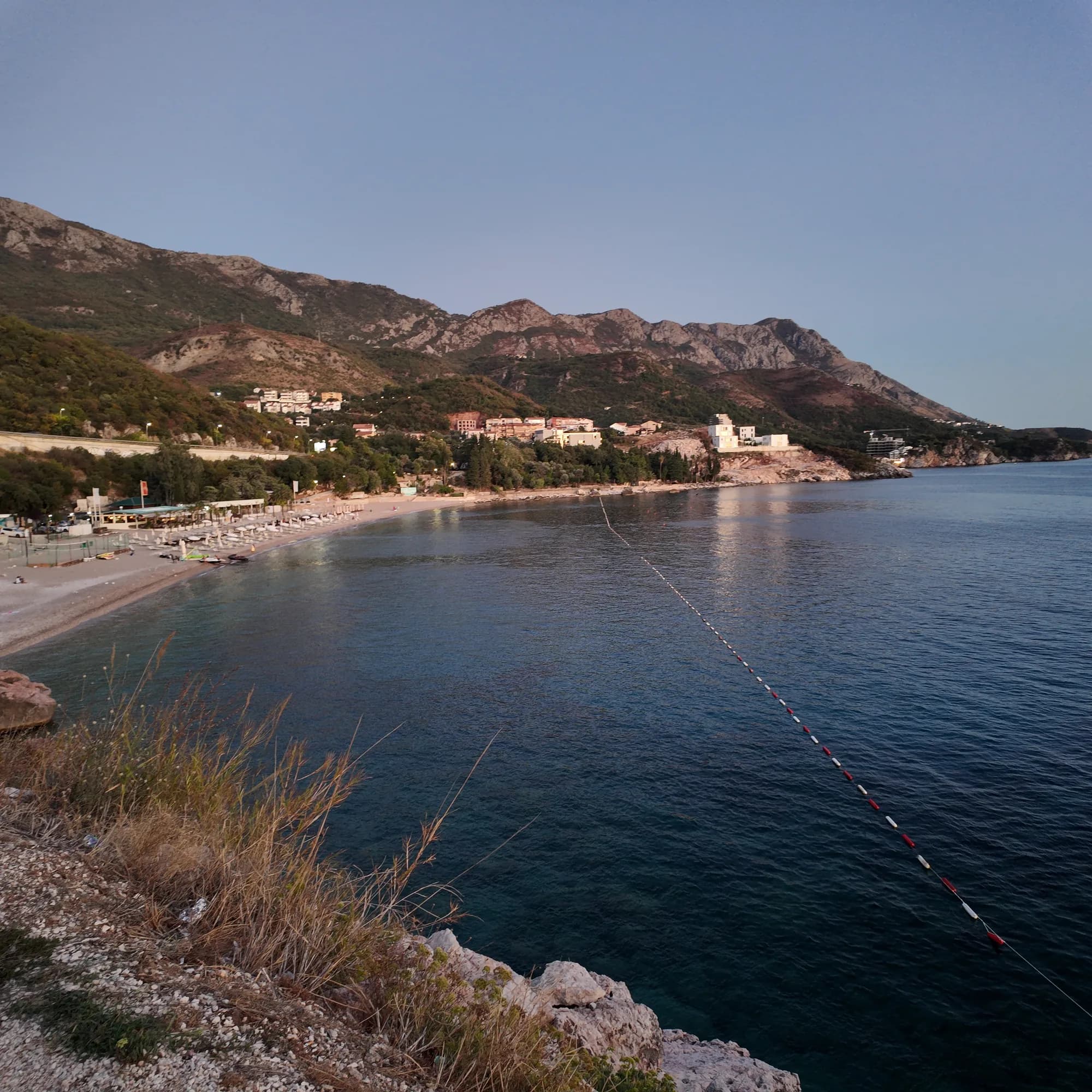 Kamenovo0.6 km Kamenovo0.6 km | 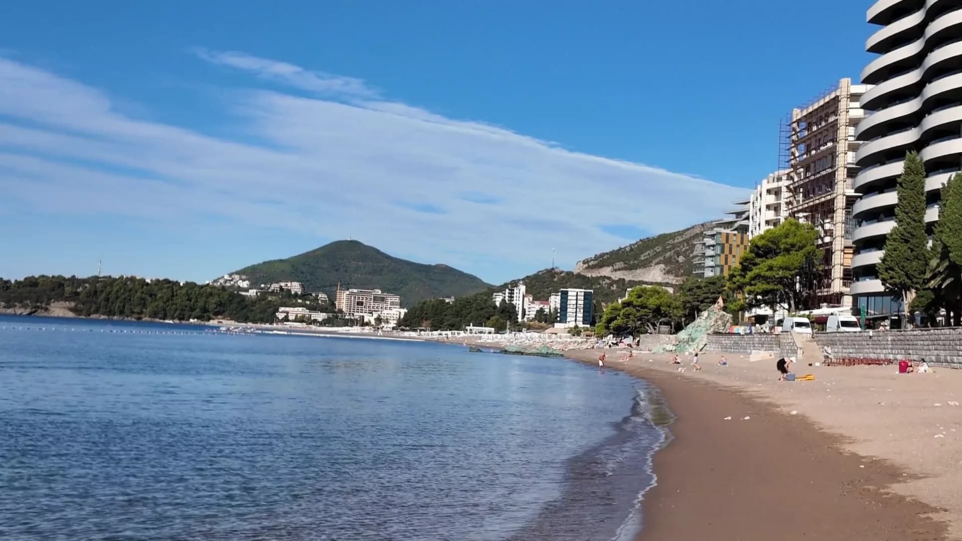 Bečići0.9 km Bečići0.9 km | 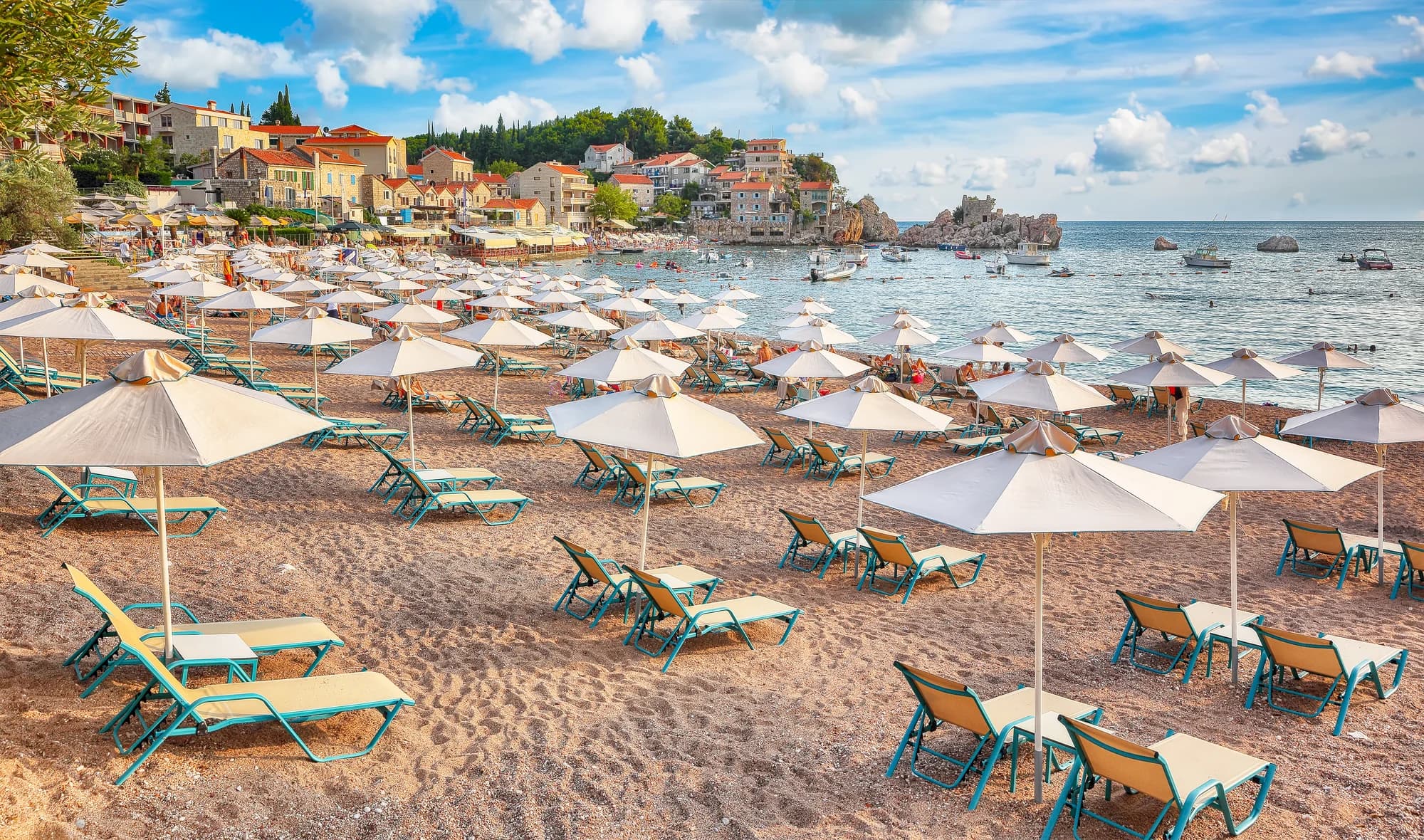 Pržno1.4 km Pržno1.4 km |
|---|---|---|---|---|
| Surface | sand and fine pebble | sand and fine pebble | sand and fine pebble | sand and fine pebble |
| Entry | gentle | gentle | gentle | gentle |
| Depth | shallow | shallow | shallow | shallow |
| Shade | umbrellas for hire | umbrellas for hire | trees and umbrellas — differs | umbrellas for hire |
| Character | organised | organised | organised and free sections — differs | organised |
| Length | 1.9–2 km | 0.3–0.3 km — differs | 1.9–2 km | 0.1–0.3 km — differs |
| Latest water | Excellent | Excellent | Excellent | Excellent |
| Crowd | busy in season | busy in season | busy in season | busy in season |
| Getting there | by road | by road | by road | by road |
Stay near Rafailovići
All stays in Rafailovići →
The full guide
Read the Rafailovići guide
Everything above is the short form. The guide has the sources, the sector codes, the sampling dates and the things that change within a season.
Questions
- Is Rafailovići a separate beach from Bečići?
- No. Official material treats the whole 2,000 m shoreline as one divided strand; Rafailovići is its eastern end, with its own coded sectors, 15D and 16A, in the Budva register.
- How do I walk to Kamenovo?
- From the mooring go east along the shore past the layered rock of Cape Đevištenje, then along the concrete path under the cliff and through the lit tunnel — about ten minutes. Turn back if barriers are up after heavy rain.
- How do I order fish on the quay?
- Fish is sold by weight and grilled with blitva and potatoes; ask the species, origin and price per kilo before it goes on the grill.
Sources
- montenegro.com — Rafailovići fishing village guide (/cities/rafailovici/rafailovici-fishing-village)
- montenegro.com — Rafailovići city hub (/cities/rafailovici)
- Morsko Dobro — Budva bathing-area contract register (sectors 15D, 16A) and 2025 mooring plan, via our guide
- Budva Tourism Organisation — Bečići Beach dimensions, via our guide
- Government of Montenegro / Morsko Dobro — official Blue Flag recipient list 2024 (no Rafailovići entry)
- OpenStreetMap — way 368633707 (beach at the eastern end of the strand), way 207518787 (Bečićka plaža)