Rafailovići
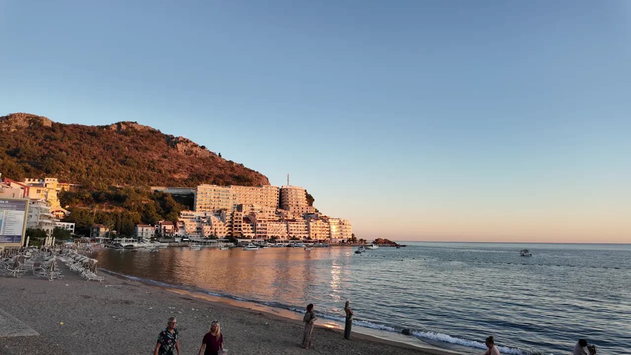
Fiskerlandsbyenden av Bečići-stranden: to organiserte sektorer, et aktivt fortøyningssted, fiskerestauranter på kaien og tunnelstien til Kamenovo.
Vår dom
Rafailovići er ikke en egen bukt, men den kompakte østenden av Bečići-stranden, der sanden går over til småstein, bygningene trenger seg sammen på neset, og et 65 m langt fortøyningssted fortsatt losser og selger fangsten. De to organiserte sektorene, 15D og 16A, følger reglene for offentlige strender, og kairestaurantene — Porat, Tri Ribara, Obala, Aleksandar — er grunnen til at mange kommer. Øst for landsbyen går kyststien under den lagdelte klippen ved Kapp Đevištenje og gjennom en opplyst tunnel til Kamenovo på om lag ti minutter.
- familier
- turgåere
- svømming
- solnedgang
Rafailovići i fakta
Stranden
Fasiliteter
Adkomst
Regler og karakter
Fakta verifisert 28. september 2026 · Lengde: Whole Bečići–Rafailovići strand: 1,950 m (sr.wikipedia) to about 2,000 m (Budva Tourism); Rafailovići is its eastern end, sectors 15D and 16A, and no separate official length is published · 11 opplysninger gjenstår å sjekke på stedet
Rafailovići i bilder
Foto og film av Montenegro.com, fritt gjenbrukbart under CC BY 4.0.
Rafailovići i bevegelse
Fortøyningsstedet ved Rafailovići om morgenen
Bergartslagene ved Kapp Đevištenje
Fortøyningsstedet i skumringen, lysene som tennes langs kaien
Foto og film av Montenegro.com, fritt gjenbrukbart under CC BY 4.0.
Kart
Det skraverte vannet er den offisielle badesonen for målestasjon Rafailovići — strekningen JP Morsko dobro faktisk tar prøver av, ikke omrisset av stranden.
Slik kommer du dit
3.7 km
Budva
19 km
Kotor
19 km
Tivat airport
Avstander i luftlinje — veiene i Montenegro er fjellveier, så kjøreturen er lengre.
- På turen De sju bukteneStopp: rafailovici
- Med bussBudva–Petrovac and Budva–Sveti Stefan local routes (stop on the main road above the village)
- Med bilAbout 4 km east of Budva; the village streets are narrow and parking scarce — come by bus, taxi or along the promenade from Bečići
- 5 min til fotsmed trapper — From the bus stop on the main road down through the village to the quay
I dag på Rafailovići
Retningen er regnet ut fra OpenStreetMap-kystlinjen, så pålands- og fralandsvind gjelder denne stranden og ikke regionen. Værvarsel fra Open-Meteo
Vann og utmerkelser
Utmerket
Siste offisielle prøve 29. september 2026: Utmerket
Sjøen 20.6 °C da prøven ble tatt
10 av 10 prøver utmerket i sesongen 2026
Offisielt resultat fra JP Morsko dobro, målestasjon Rafailovići
Østenden av Bečići-stranden, overvåket som et eget punkt fremfor sammen med sektorene lenger vest.
Ingen utmerkelse vi kan dokumentere for denne stranden. Det er også informasjon.
Godt å vite før du bader
- Båttrafikk inn og ut av det 65 m lange fortøyningsstedet ved landsbyenden — hold deg til den bøyeavgrensede badesonen
- Kyststien østover til Kamenovo går under en klippe utsatt for steinras og våt klippe etter regn; snu hvis sperringer er satt opp
- Parkering er knapp, og gatene er smale — ikke stol på «parkering i nærheten» i en oppføring
- Kryssing av hovedveien ved busstoppet ovenfor landsbyen
Når vannet er varmt
Rafailovići var varmest, 28.0 °C, den 1. september 2026, og kaldest, 19.4 °C, den 26. mai 2026. Hvert punkt er en faktisk prøvetaking med temperaturen målt på stedet, ikke et månedsgjennomsnitt hentet et annet sted fra.
Se alle 10 prøvetakingene
| Prøvetatt | Sjø | Resultat |
|---|---|---|
| 29. september 2026 | 20.6 °C | Utmerket |
| 15. september 2026 | 25.4 °C | Utmerket |
| 1. september 2026 | 28.0 °C | Utmerket |
| 18. august 2026 | 26.0 °C | Utmerket |
| 4. august 2026 | 25.7 °C | Utmerket |
| 21. juli 2026 | 24.8 °C | Utmerket |
| 7. juli 2026 | 21.6 °C | Utmerket |
| 23. juni 2026 | 23.7 °C | Utmerket |
| 9. juni 2026 | 24.1 °C | Utmerket |
| 26. mai 2026 | 19.4 °C | Utmerket |
Offisielt resultat fra JP Morsko dobro, målestasjon Rafailovići
Sesong for sesong
Rafailovići er prøvetatt 69 ganger siden 2020: 64 av målingene utmerket, 5 under det.
Hvor varmt vannet ble, sesong for sesong. Snittet gjelder bare prøvene i juli og august — et fast vindu, slik at et år inspektørene kom tidlig ikke framstår som kaldt.
En håndfull sesonger er en oversikt, ikke en trend: spredningen her er slik få daterte målinger ser ut, ikke bevis for et hav som blir varmere eller kaldere. Et hult punkt markerer en sesong der en prøve havnet under utmerket.
| Sesong | Prøver | Utmerket | Under | Snitt juli–aug. | Varmest |
|---|---|---|---|---|---|
| 2020 | 9 | 9 | — | 23.6 °C | 25.5 °C |
| 2021 | 10 | 9 | 1 | 26.4 °C | 28.5 °C |
| 2022 | 10 | 10 | — | 24.2 °C | 28 °C |
| 2023 | 10 | 9 | 1 | 24.4 °C | 28.1 °C |
| 2024 | 10 | 8 | 2 | 25 °C | 27.7 °C |
| 2025 | 10 | 9 | 1 | 23.1 °C | 25.8 °C |
| 2026pågår | 10 | 10 | — | 24.5 °C | 28 °C |
Offisielt resultat fra JP Morsko dobro, målestasjon Rafailovići
Tildelt som
Staten leier ut denne kysten parsell for parsell. Rafailovići er lyst ut som 6 parseller på rundt 409 m strandlinje, hver med en offisiell kategori.
Blant dem: Barneleir.
| Kategori | Parseller | Strandlinje |
|---|---|---|
| Familiebading | 5 | 374 m |
| Barneleir | 1 | 35 m |
Til sammen rundt 8,776 m². Dette er hva som er tildelt, ikke hva vi så: antall solsenger, toaletter og dusjer per parsell fastsettes i den signerte avtalen, som ikke offentliggjøres. Anbud fra JP Morsko dobro
Strender i nærheten

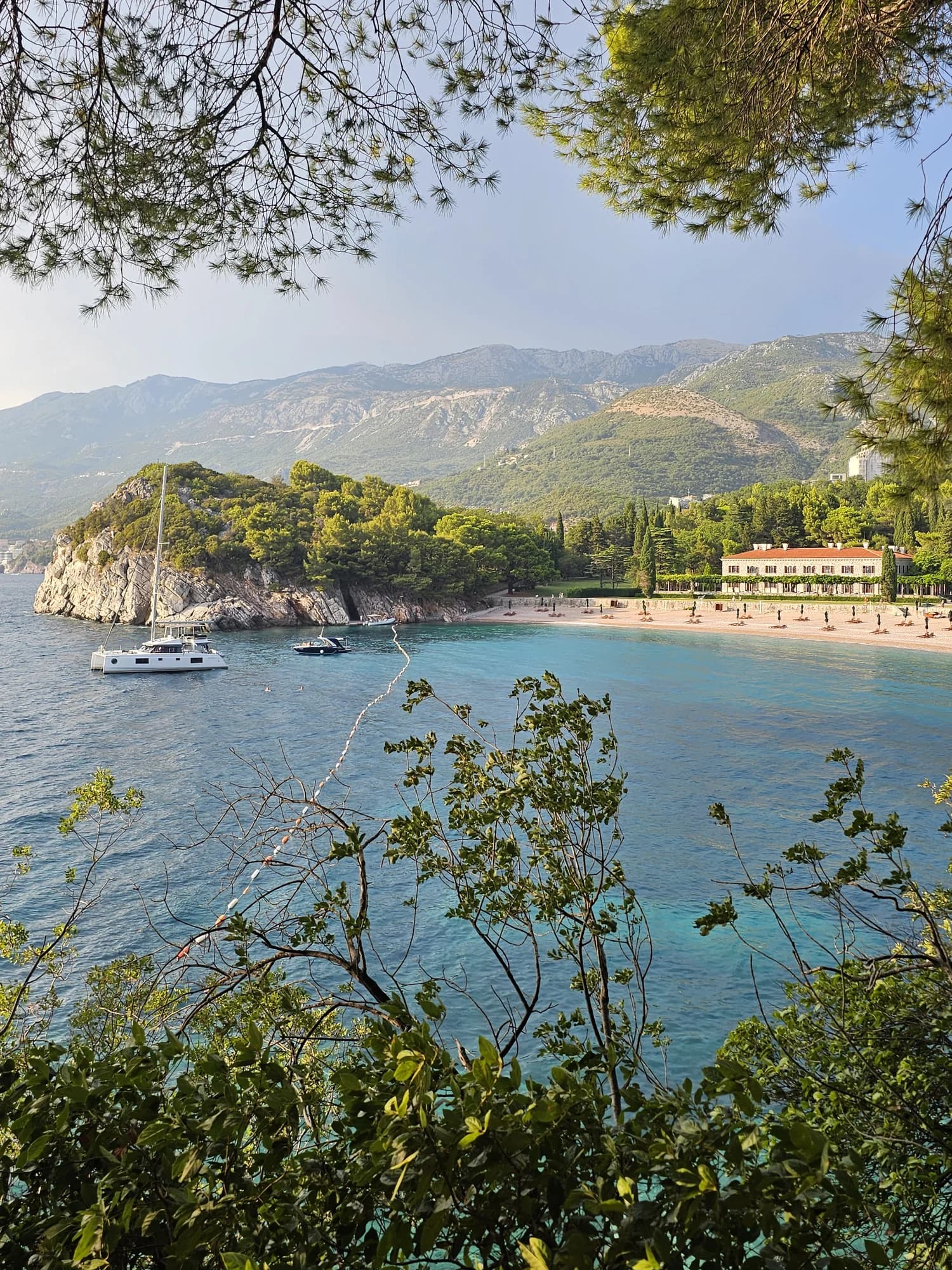
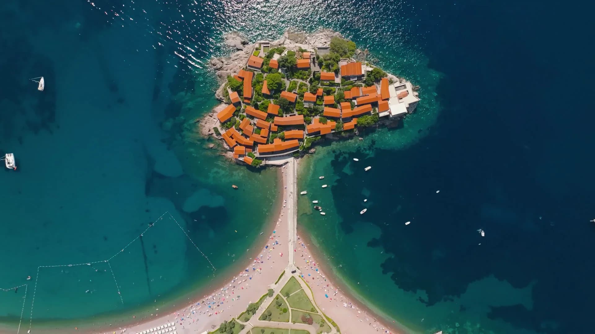
Rafailovići og nabostrendene
De samme ni målene for strendene du rekker samme dag. Fet skrift betyr at det skiller seg fra denne.
| Mål | 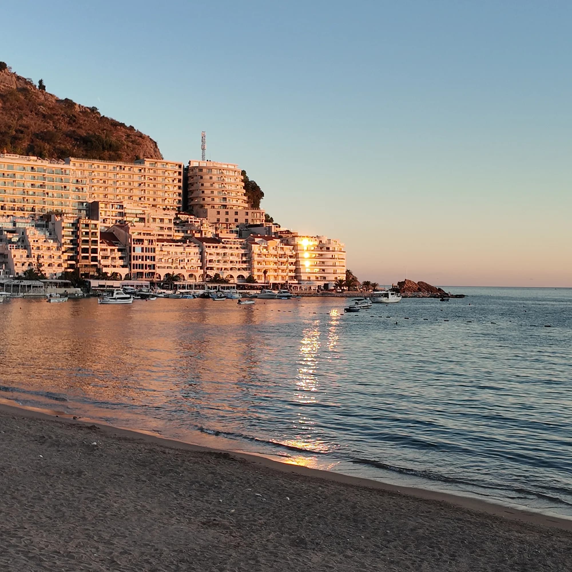 Rafailovićidenne stranden Rafailovićidenne stranden | 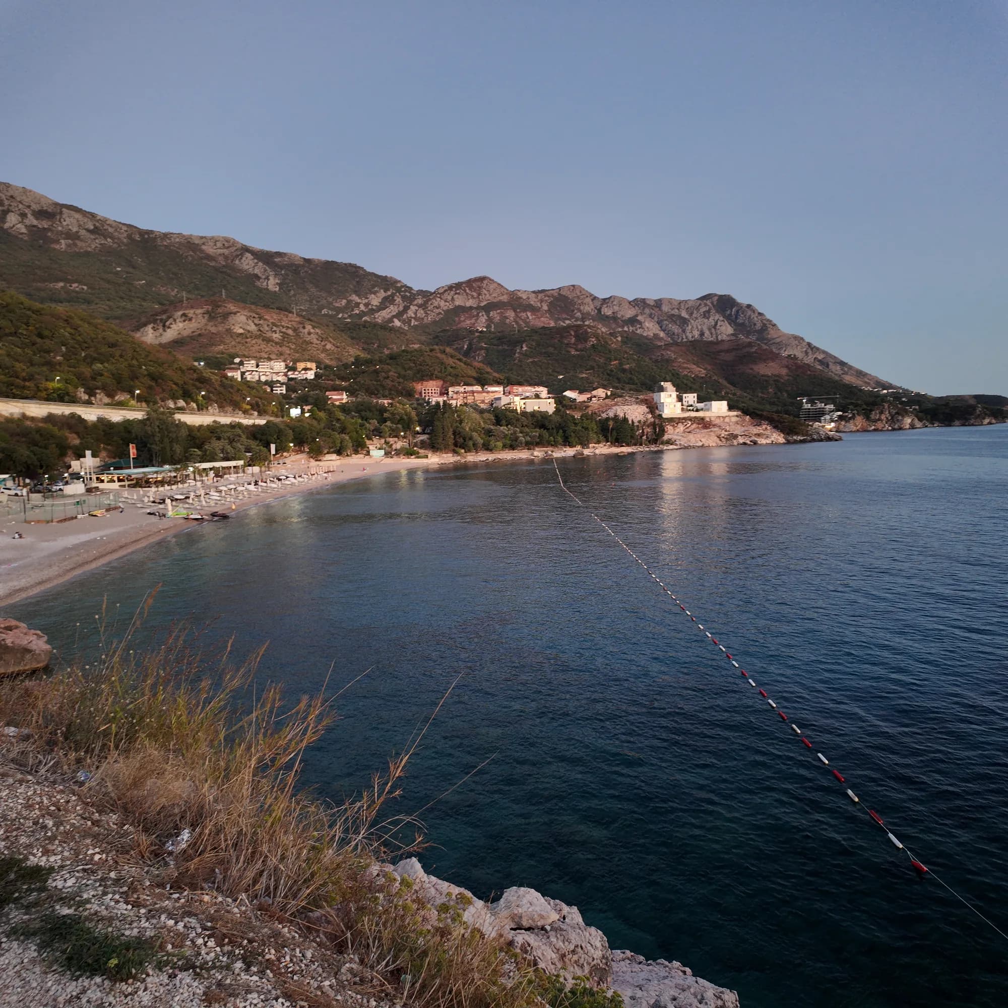 Kamenovo0.6 km Kamenovo0.6 km | 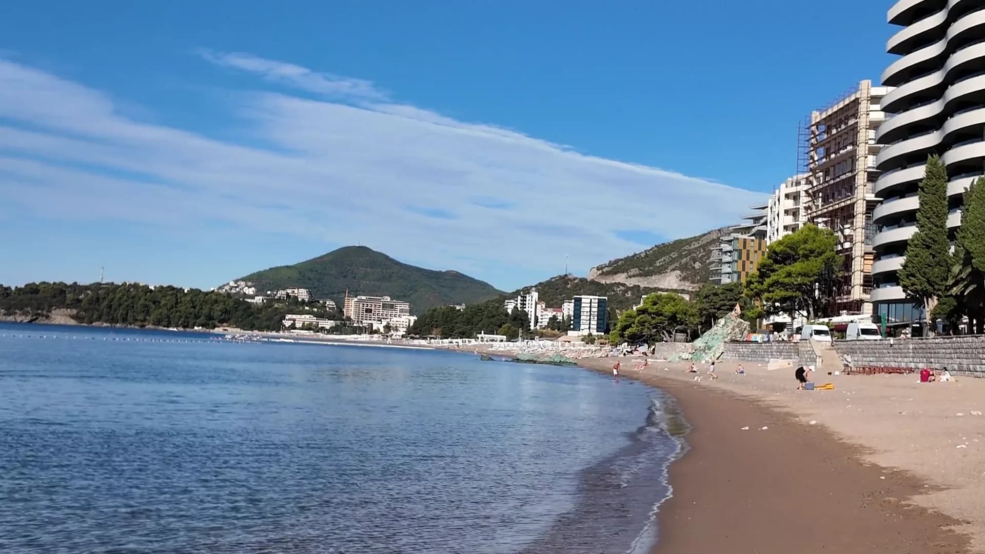 Bečići0.9 km Bečići0.9 km | 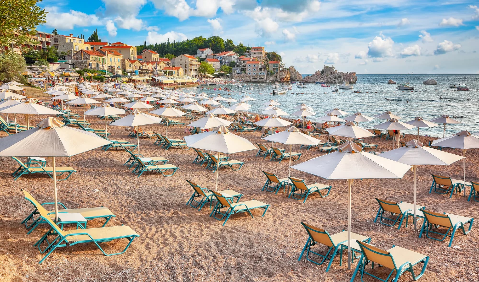 Pržno1.4 km Pržno1.4 km |
|---|---|---|---|---|
| Underlag | sand og fin rullestein | sand og fin rullestein | sand og fin rullestein | sand og fin rullestein |
| Nedgang i vannet | slak | slak | slak | slak |
| Dybde | grunt | grunt | grunt | grunt |
| Skygge | parasoller til leie | parasoller til leie | trær og parasoller — skiller seg | parasoller til leie |
| Karakter | tilrettelagt | tilrettelagt | tilrettelagte og frie deler — skiller seg | tilrettelagt |
| Lengde | 1.9–2 km | 0.3–0.3 km — skiller seg | 1.9–2 km | 0.1–0.3 km — skiller seg |
| Siste prøve | Utmerket | Utmerket | Utmerket | Utmerket |
| Folkemengde | full i sesongen | full i sesongen | full i sesongen | full i sesongen |
| Slik kommer du dit | med bil | med bil | med bil | med bil |
Bo nær Rafailovići
All overnatting i Rafailovići →
Den fulle guiden
Les guiden til Rafailovići
Alt over er kortversjonen. Guiden har kildene, sektorkodene, prøvedatoene og det som endrer seg i løpet av en sesong.
Spørsmål
- Er Rafailovići en egen strand fra Bečići?
- Nei. Offisielt materiale behandler hele den 2000 m lange kystlinjen som én oppdelt strand; Rafailovići er dens østre ende, med egne kodede sektorer, 15D og 16A, i Budva-registeret.
- Hvordan går jeg til Kamenovo?
- Fra fortøyningsstedet går du østover langs kysten forbi den lagdelte klippen ved Kapp Đevištenje, deretter langs betongstien under klippen og gjennom den opplyste tunnelen — om lag ti minutter. Snu hvis sperringer er satt opp etter kraftig regn.
- Hvordan bestiller jeg fisk på kaien?
- Fisk selges etter vekt og grilles med blitva og poteter; spør om art, opprinnelse og pris per kilo før den havner på grillen.
Kilder
- montenegro.com — Rafailovići fishing village guide (/cities/rafailovici/rafailovici-fishing-village)
- montenegro.com — Rafailovići city hub (/cities/rafailovici)
- Morsko Dobro — Budva bathing-area contract register (sectors 15D, 16A) and 2025 mooring plan, via our guide
- Budva Tourism Organisation — Bečići Beach dimensions, via our guide
- Government of Montenegro / Morsko Dobro — official Blue Flag recipient list 2024 (no Rafailovići entry)
- OpenStreetMap — way 368633707 (beach at the eastern end of the strand), way 207518787 (Bečićka plaža)