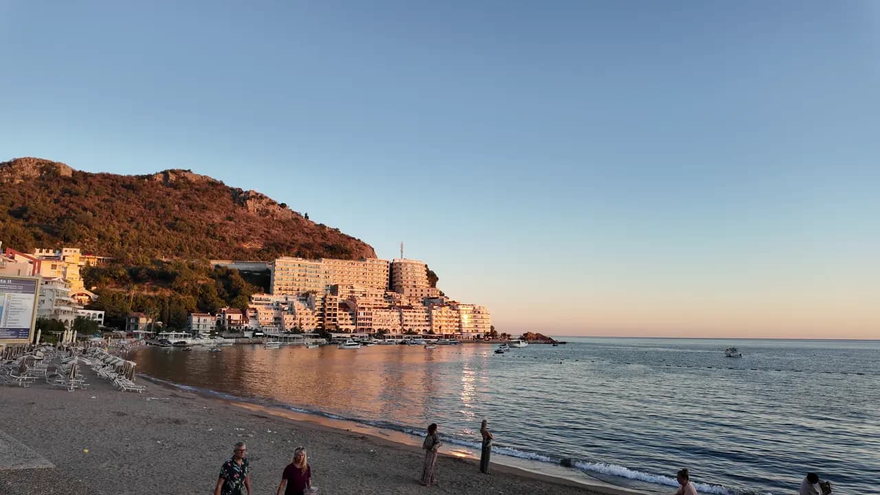
Rafailovići
El extremo de pueblo pesquero de la franja de Bečići: dos sectores gestionados, un amarradero en activo, restaurantes de pescado en el muelle y el sendero del túnel hacia Kamenovo.
Nuestro veredicto
Rafailovići no es una bahía aparte, sino el extremo oriental, compacto, de la franja de Bečići, donde la arena se vuelve guijarro, los edificios se apiñan en el promontorio y un amarradero de 65 m todavía desembarca y vende la captura. Sus dos sectores gestionados, 15D y 16A, siguen las normas de playa pública, y los restaurantes del muelle —Porat, Tri Ribara, Obala, Aleksandar— son la razón por la que mucha gente viene. Al este del pueblo, el sendero costero pasa bajo la roca estratificada del Cabo Đevištenje y por un túnel iluminado hasta Kamenovo, en unos diez minutos.
Rafailovići, en datos
La orilla
Servicios
Acceso
Normas y carácter
Datos verificados el 28 de septiembre de 2026 · Longitud: Whole Bečići–Rafailovići strand: 1,950 m (sr.wikipedia) to about 2,000 m (Budva Tourism); Rafailovići is its eastern end, sectors 15D and 16A, and no separate official length is published · Quedan 11 datos por comprobar sobre el terreno
Rafailovići en imágenes
Fotografías y vídeos de Montenegro.com, libres de reutilizar bajo CC BY 4.0.
Rafailovići en movimiento
El amarradero de Rafailovići por la mañana
Los estratos de roca del Cabo Đevištenje
El amarradero al anochecer, las luces encendiéndose a lo largo del muelle
Fotografías y vídeos de Montenegro.com, libres de reutilizar bajo CC BY 4.0.
Mapa
El agua sombreada es la zona de baño oficial de la estación Rafailovići: el tramo que JP Morsko dobro muestrea realmente, no el contorno de la playa.
Cómo llegar
3.7 km
Budva
19 km
Kotor
19 km
Tivat airport
Distancias en línea recta — las carreteras de Montenegro son de montaña, así que el trayecto es más largo.
- En el paseo Las Siete BahíasParada: rafailovici
- En autobúsBudva–Petrovac and Budva–Sveti Stefan local routes (stop on the main road above the village)
- En cocheAbout 4 km east of Budva; the village streets are narrow and parking scarce — come by bus, taxi or along the promenade from Bečići
- 5 min a piecon escalones — From the bus stop on the main road down through the village to the quay
Hoy en Rafailovići
La orientación se calcula a partir de la costa de OpenStreetMap, así que «hacia la playa» y «desde tierra» se refieren a esta orilla y no a la región. Previsión de Open-Meteo
Agua y galardones
Excelente
Última muestra oficial 29 de septiembre de 2026: Excelente
Mar a 20.6 °C en el momento de la muestra
10 de 10 muestras excelentes en la temporada 2026
Resultado oficial de JP Morsko dobro, estación Rafailovići
El extremo oriental de la franja de Bečići, controlado como punto propio y no junto con los sectores del oeste.
Ningún galardón que podamos citar para esta playa. La ausencia también es información.
Antes de bañarte
- Tráfico de barcos hacia y desde el amarradero de 65 m en el extremo del pueblo — manténgase en la zona de baño señalizada con boyas
- El sendero costero hacia el este, hasta Kamenovo, pasa bajo un acantilado expuesto a desprendimientos y roca mojada tras la lluvia; dé la vuelta si hay barreras puestas
- El aparcamiento escasea y las calles son estrechas — no cuente con "aparcamiento cerca" en un anuncio
- Cruzar la carretera principal en la parada de autobús sobre el pueblo
Cuándo está templada el agua
Rafailovići alcanzó su máximo, 28.0 °C, el 1 de septiembre de 2026, y su mínimo, 19.4 °C, el 26 de mayo de 2026. Cada punto es una toma de muestra real con la temperatura medida en el sitio, no un promedio mensual copiado de otra parte.
Ver los 10 muestreos
| Muestreo | Mar | Resultado |
|---|---|---|
| 29 de septiembre de 2026 | 20.6 °C | Excelente |
| 15 de septiembre de 2026 | 25.4 °C | Excelente |
| 1 de septiembre de 2026 | 28.0 °C | Excelente |
| 18 de agosto de 2026 | 26.0 °C | Excelente |
| 4 de agosto de 2026 | 25.7 °C | Excelente |
| 21 de julio de 2026 | 24.8 °C | Excelente |
| 7 de julio de 2026 | 21.6 °C | Excelente |
| 23 de junio de 2026 | 23.7 °C | Excelente |
| 9 de junio de 2026 | 24.1 °C | Excelente |
| 26 de mayo de 2026 | 19.4 °C | Excelente |
Temporada a temporada
Rafailovići se ha muestreado 69 veces desde 2020: 64 de esas lecturas excelentes, 5 por debajo.
Lo caliente que llegó a estar el agua, temporada a temporada. La media es solo de los muestreos de julio y agosto: una ventana fija, para que un año en que los inspectores vinieron temprano no parezca frío.
Un puñado de temporadas es un registro, no una tendencia: lo que se ve aquí es la dispersión propia de unas pocas lecturas fechadas, no la prueba de un mar que se calienta o se enfría. Un punto hueco marca una temporada en la que algún muestreo quedó por debajo de excelente.
| Temporada | Muestreos | Excelente | Por debajo | Media jul.-ago. | Máxima |
|---|---|---|---|---|---|
| 2020 | 9 | 9 | — | 23.6 °C | 25.5 °C |
| 2021 | 10 | 9 | 1 | 26.4 °C | 28.5 °C |
| 2022 | 10 | 10 | — | 24.2 °C | 28 °C |
| 2023 | 10 | 9 | 1 | 24.4 °C | 28.1 °C |
| 2024 | 10 | 8 | 2 | 25 °C | 27.7 °C |
| 2025 | 10 | 9 | 1 | 23.1 °C | 25.8 °C |
| 2026en curso | 10 | 10 | — | 24.5 °C | 28 °C |
Concesionada como
El Estado arrienda esta costa lote a lote. Rafailovići sale a concurso como 6 lotes que suman unos 409 m de orilla, cada uno con una categoría oficial.
Entre ellos: Campamento infantil.
| Categoría | Lotes | Orilla |
|---|---|---|
| Baño familiar | 5 | 374 m |
| Campamento infantil | 1 | 35 m |
Unos 8,776 m² en total. Esto es lo concesionado, no lo observado: el número de hamacas, aseos y duchas por lote se fija en el contrato firmado, que no se publica. Licitaciones de JP Morsko dobro
Playas cercanas

Rafailovići y sus vecinas
Las mismas nueve medidas para las playas que puede alcanzar el mismo día. La negrita indica que difiere de esta.
| Medida | 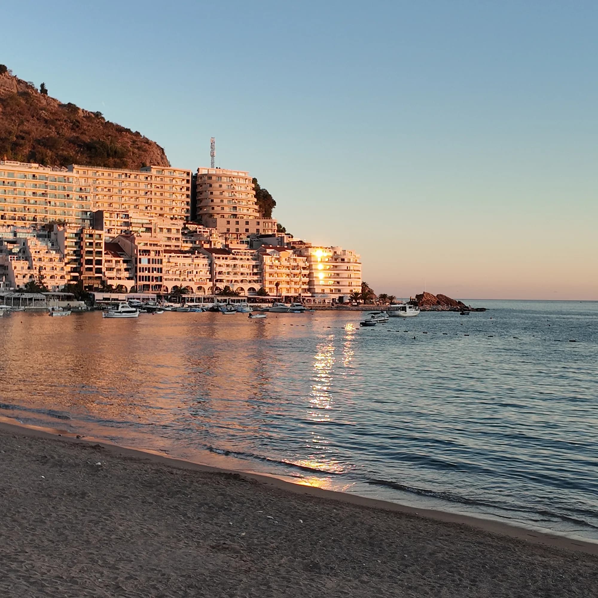 Rafailovićiesta playa Rafailovićiesta playa | 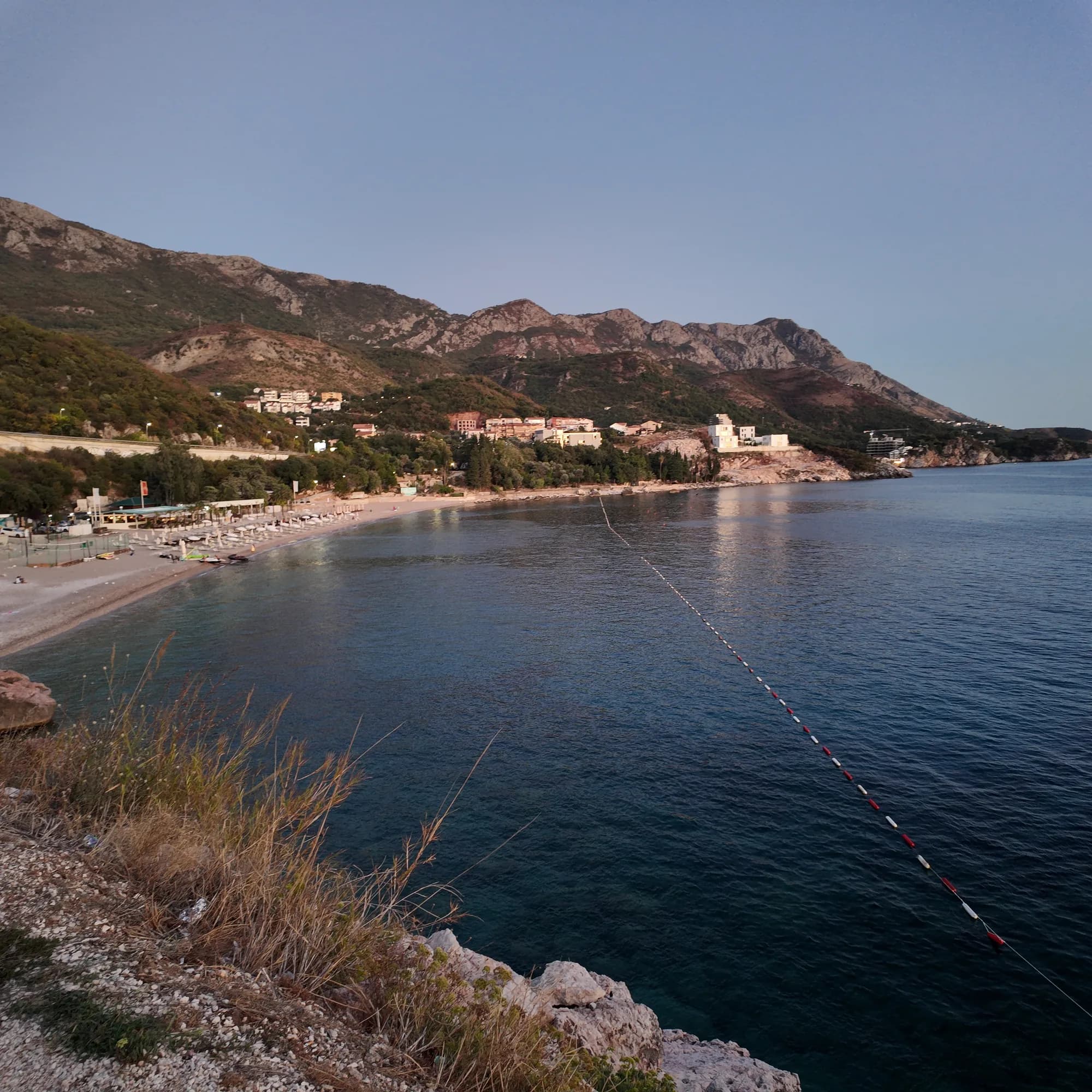 Kamenovo0.6 km Kamenovo0.6 km | 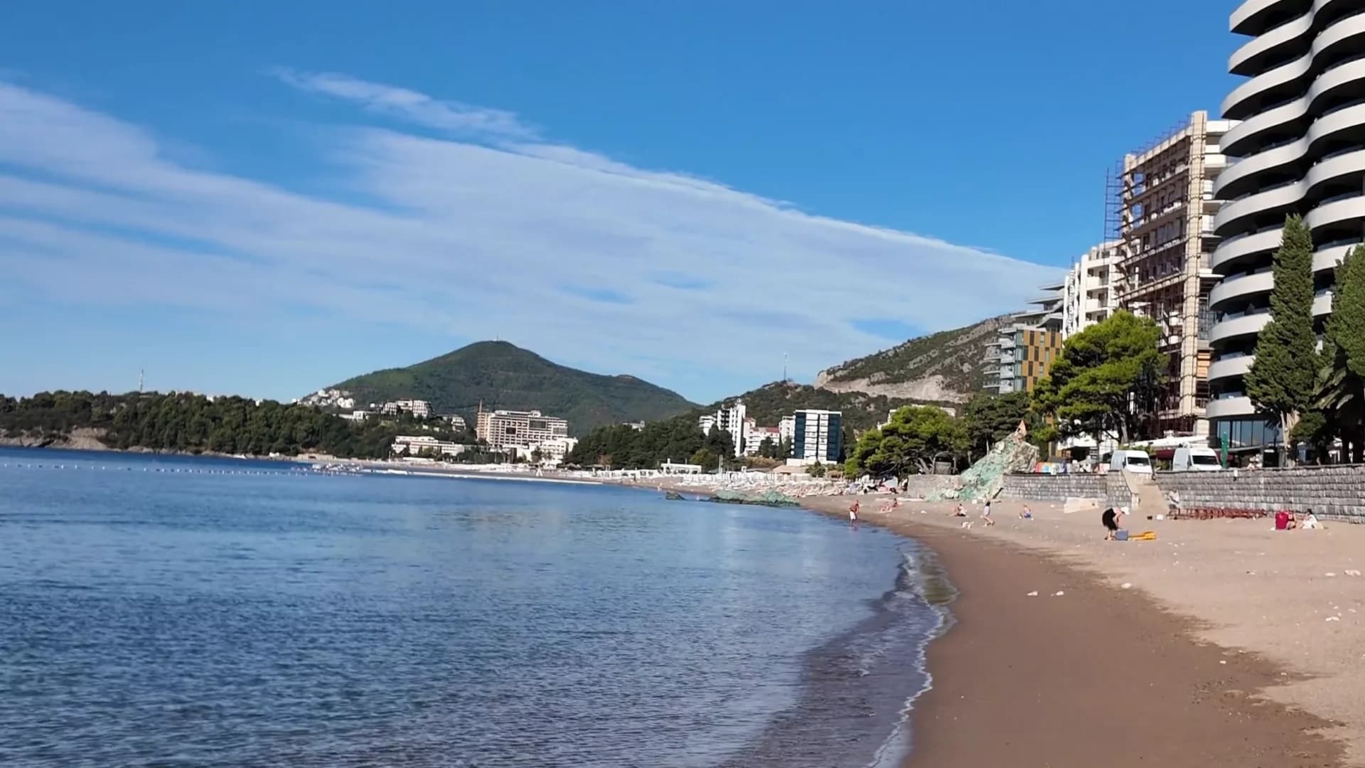 Bečići0.9 km Bečići0.9 km | 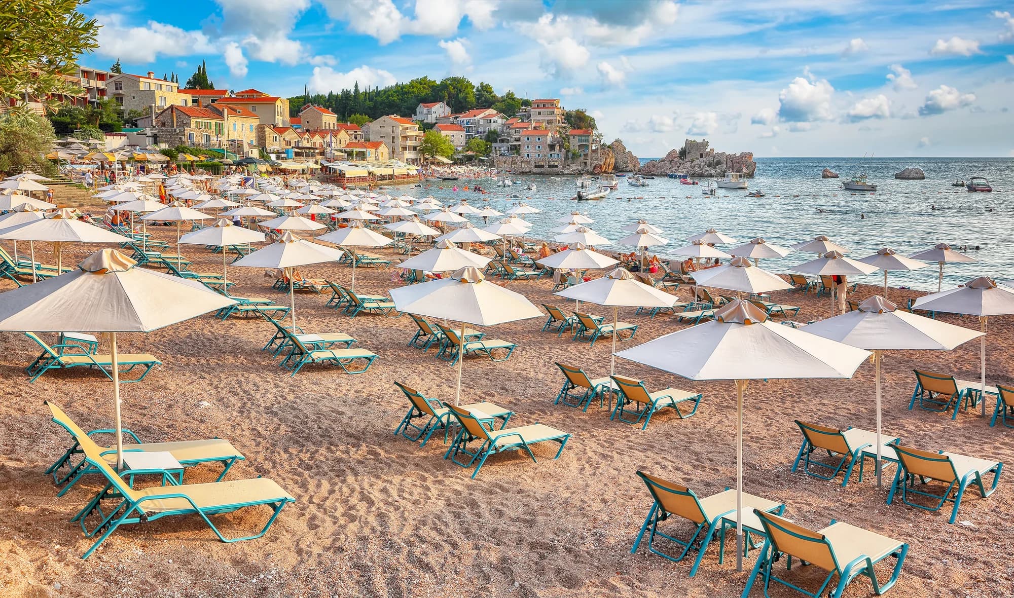 Pržno1.4 km Pržno1.4 km |
|---|---|---|---|---|
| Superficie | arena y guijarro fino | arena y guijarro fino | arena y guijarro fino | arena y guijarro fino |
| Entrada | suave | suave | suave | suave |
| Profundidad | poco profunda | poco profunda | poco profunda | poco profunda |
| Sombra | sombrillas de alquiler | sombrillas de alquiler | árboles y sombrillas — difiere | sombrillas de alquiler |
| Carácter | organizada | organizada | zonas organizadas y libres — difiere | organizada |
| Longitud | 1.9–2 km | 0.3–0.3 km — difiere | 1.9–2 km | 0.1–0.3 km — difiere |
| Última muestra | Excelente | Excelente | Excelente | Excelente |
| Afluencia | concurrida en temporada | concurrida en temporada | concurrida en temporada | concurrida en temporada |
| Cómo llegar | en coche | en coche | en coche | en coche |
Alojarse cerca de Rafailovići
Todos los alojamientos en Rafailovići →
La guía completa
Leer la guía de Rafailovići
Todo lo anterior es la versión corta. La guía tiene las fuentes, los códigos de sector, las fechas de muestreo y lo que cambia dentro de una temporada.
Preguntas
- ¿Es Rafailovići una playa distinta de Bečići?
- No. El material oficial trata toda la costa de 2,000 m como una sola franja dividida; Rafailovići es su extremo oriental, con sus propios sectores codificados, 15D y 16A, en el registro de Budva.
- ¿Cómo llego andando a Kamenovo?
- Desde el amarradero, hacia el este por la orilla, pasando la roca estratificada del Cabo Đevištenje, luego por el sendero de hormigón bajo el acantilado y por el túnel iluminado —unos diez minutos. Dé la vuelta si hay barreras puestas tras lluvia fuerte.
- ¿Cómo pido pescado en el muelle?
- El pescado se vende por peso y se hace a la parrilla con blitva y patatas; pregunte la especie, el origen y el precio por kilo antes de que vaya a la parrilla.
Fuentes
- montenegro.com — Rafailovići fishing village guide (/cities/rafailovici/rafailovici-fishing-village)
- montenegro.com — Rafailovići city hub (/cities/rafailovici)
- Morsko Dobro — Budva bathing-area contract register (sectors 15D, 16A) and 2025 mooring plan, via our guide
- Budva Tourism Organisation — Bečići Beach dimensions, via our guide
- Government of Montenegro / Morsko Dobro — official Blue Flag recipient list 2024 (no Rafailovići entry)
- OpenStreetMap — way 368633707 (beach at the eastern end of the strand), way 207518787 (Bečićka plaža)