Rafailovići
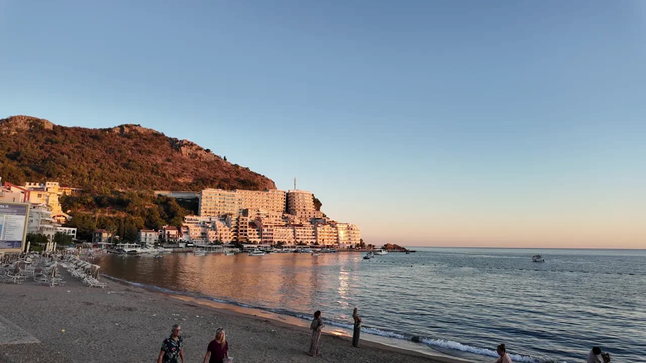
L’extrémité village de pêcheurs de la plage de Bečići : deux secteurs aménagés, un mouillage en activité, des restaurants de poisson sur le quai et le sentier du tunnel vers Kamenovo.
Notre verdict
Rafailovići n’est pas une baie distincte mais l’extrémité est, compacte, de la plage de Bečići, là où le sable devient galets, où les bâtiments se serrent sur le cap et où un mouillage de 65 m débarque et vend encore la pêche. Ses deux secteurs aménagés, 15D et 16A, suivent le règlement des plages publiques, et les restaurants du quai — Porat, Tri Ribara, Obala, Aleksandar — sont la raison pour laquelle beaucoup de gens viennent. À l’est du village, le sentier côtier passe sous la roche stratifiée du cap Đevištenje et traverse un tunnel éclairé jusqu’à Kamenovo en environ dix minutes.
Rafailovići, en quelques repères
Le rivage
Équipements
Accès
Règles et caractère
Données vérifiées le 28 septembre 2026 · Longueur: Whole Bečići–Rafailovići strand: 1,950 m (sr.wikipedia) to about 2,000 m (Budva Tourism); Rafailovići is its eastern end, sectors 15D and 16A, and no separate official length is published · 11 points restent à vérifier sur place
Rafailovići en images
Photographies et images de Montenegro.com, réutilisables sous licence CC BY 4.0.
Rafailovići en mouvement
Le mouillage de Rafailovići le matin
Les strates rocheuses du cap Đevištenje
Le mouillage au crépuscule, les lumières qui s’allument le long du quai
Photographies et images de Montenegro.com, réutilisables sous licence CC BY 4.0.
Carte
La zone ombrée est la zone de baignade officielle de la station Rafailovići : la portion que JP Morsko dobro prélève réellement, et non le contour de la plage.
Y aller
3.7 km
Budva
19 km
Kotor
19 km
Tivat airport
Distances à vol d'oiseau — les routes du Monténégro sont des routes de montagne, le trajet est donc plus long.
- Sur la balade Les Sept BaiesÉtape : rafailovici
- En busBudva–Petrovac and Budva–Sveti Stefan local routes (stop on the main road above the village)
- En voitureAbout 4 km east of Budva; the village streets are narrow and parking scarce — come by bus, taxi or along the promenade from Bečići
- 5 min à piedavec des marches — From the bus stop on the main road down through the village to the quay
Aujourd'hui à Rafailovići
L’orientation est calculée depuis le trait de côte OpenStreetMap : « vers la plage » et « de la terre » désignent ce rivage, pas la région. Prévisions par Open-Meteo
Eau et labels
Excellente
Dernier prélèvement officiel 29 septembre 2026 : Excellente
Mer à 20.6 °C lors du prélèvement
10 prélèvements excellents sur 10 durant la saison 2026
Résultat officiel de JP Morsko dobro, station Rafailovići
L'extrémité orientale de la plage de Bečići, surveillée comme un point à part plutôt qu'avec les secteurs situés à l'ouest.
Aucun label que nous puissions citer pour cette plage. L'absence est aussi une information.
À savoir avant de se baigner
- Trafic de bateaux entrant et sortant du mouillage de 65 m à l’extrémité du village — restez dans la zone de baignade balisée par des bouées
- Le sentier côtier vers l’est, en direction de Kamenovo, passe sous une falaise exposée aux chutes de pierres et à la roche mouillée après la pluie ; rebroussez chemin si des barrières sont installées
- Le stationnement est rare et les rues étroites — ne vous fiez pas à la mention « parking à proximité » dans une annonce
- La traversée de la route principale à l’arrêt de bus au-dessus du village
Quand l'eau est chaude
Rafailovići a atteint son maximum, 28.0 °C, le 1 septembre 2026, et son minimum, 19.4 °C, le 26 mai 2026. Chaque point est un prélèvement réel avec la température relevée sur place, et non une moyenne mensuelle recopiée ailleurs.
Voir les 10 prélèvements
| Prélevé | Mer | Résultat |
|---|---|---|
| 29 septembre 2026 | 20.6 °C | Excellente |
| 15 septembre 2026 | 25.4 °C | Excellente |
| 1 septembre 2026 | 28.0 °C | Excellente |
| 18 août 2026 | 26.0 °C | Excellente |
| 4 août 2026 | 25.7 °C | Excellente |
| 21 juillet 2026 | 24.8 °C | Excellente |
| 7 juillet 2026 | 21.6 °C | Excellente |
| 23 juin 2026 | 23.7 °C | Excellente |
| 9 juin 2026 | 24.1 °C | Excellente |
| 26 mai 2026 | 19.4 °C | Excellente |
Saison par saison
Rafailovići a fait l'objet de 69 prélèvements depuis 2020 : 64 relevés excellents, 5 en dessous.
La chaleur qu'a atteinte l'eau, saison par saison. La moyenne ne porte que sur les prélèvements de juillet et août : une fenêtre fixe, pour qu'une année où les inspecteurs sont passés tôt ne paraisse pas froide.
Une poignée de saisons est un relevé, pas une tendance : ce que l'on voit ici est la dispersion normale de quelques mesures datées, non la preuve d'une mer qui se réchauffe ou se refroidit. Un point creux signale une saison où un prélèvement est passé sous « excellente ».
| Saison | Prélèvements | Excellente | En dessous | Moyenne juil.-août | Maximum |
|---|---|---|---|---|---|
| 2020 | 9 | 9 | — | 23.6 °C | 25.5 °C |
| 2021 | 10 | 9 | 1 | 26.4 °C | 28.5 °C |
| 2022 | 10 | 10 | — | 24.2 °C | 28 °C |
| 2023 | 10 | 9 | 1 | 24.4 °C | 28.1 °C |
| 2024 | 10 | 8 | 2 | 25 °C | 27.7 °C |
| 2025 | 10 | 9 | 1 | 23.1 °C | 25.8 °C |
| 2026en cours | 10 | 10 | — | 24.5 °C | 28 °C |
Concédée comme
L’État loue ce littoral lot par lot. Rafailovići est mise en adjudication en 6 lots couvrant environ 409 m de rivage, chacun avec une catégorie officielle.
Parmi eux : Colonie de vacances.
| Catégorie | Lots | Rivage |
|---|---|---|
| Baignade familiale | 5 | 374 m |
| Colonie de vacances | 1 | 35 m |
Environ 8,776 m² au total. C’est ce qui est concédé, non ce que nous avons vu : le nombre de transats, de toilettes et de douches par lot est fixé dans le bail signé, qui n’est pas publié. Appels d’offres de JP Morsko dobro
Plages à proximité

Rafailovići et ses voisines
Les mêmes neuf mesures pour les plages accessibles dans la journée. Le gras signale une différence avec celle-ci.
| Mesure | 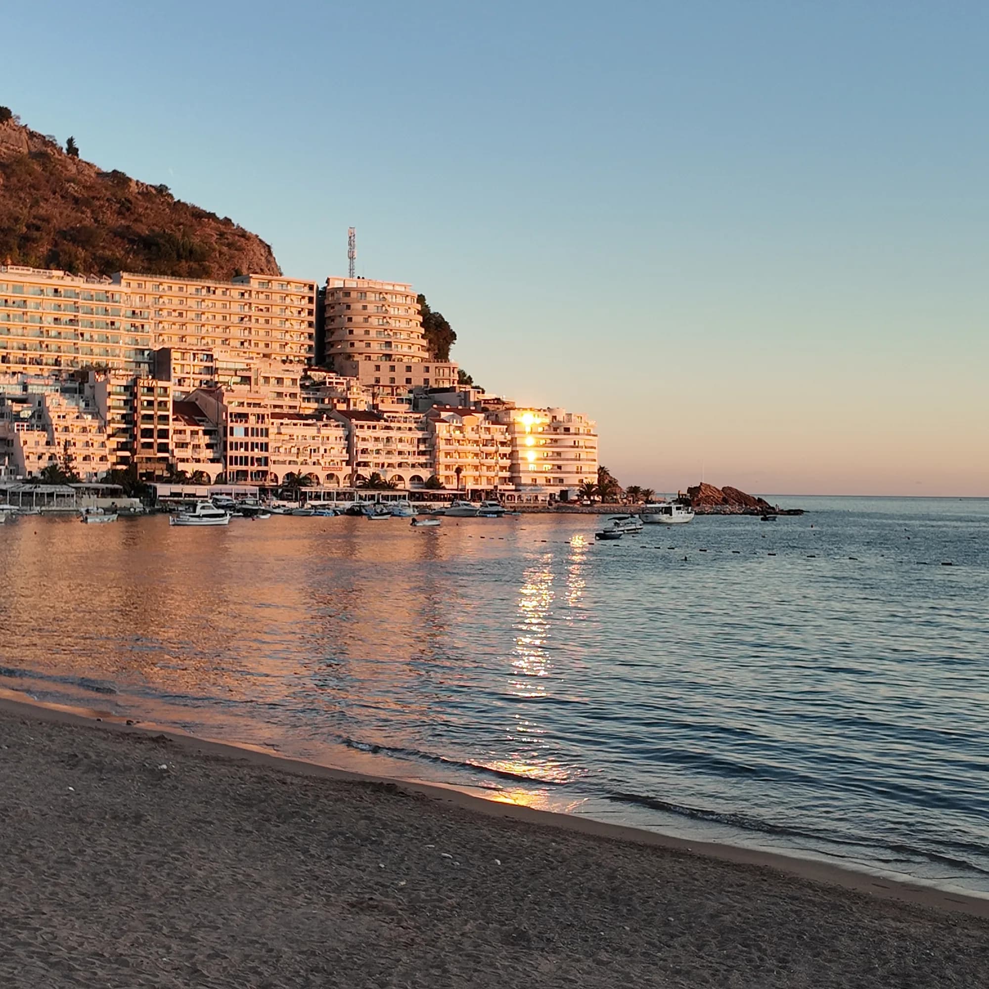 Rafailovićicette plage Rafailovićicette plage | 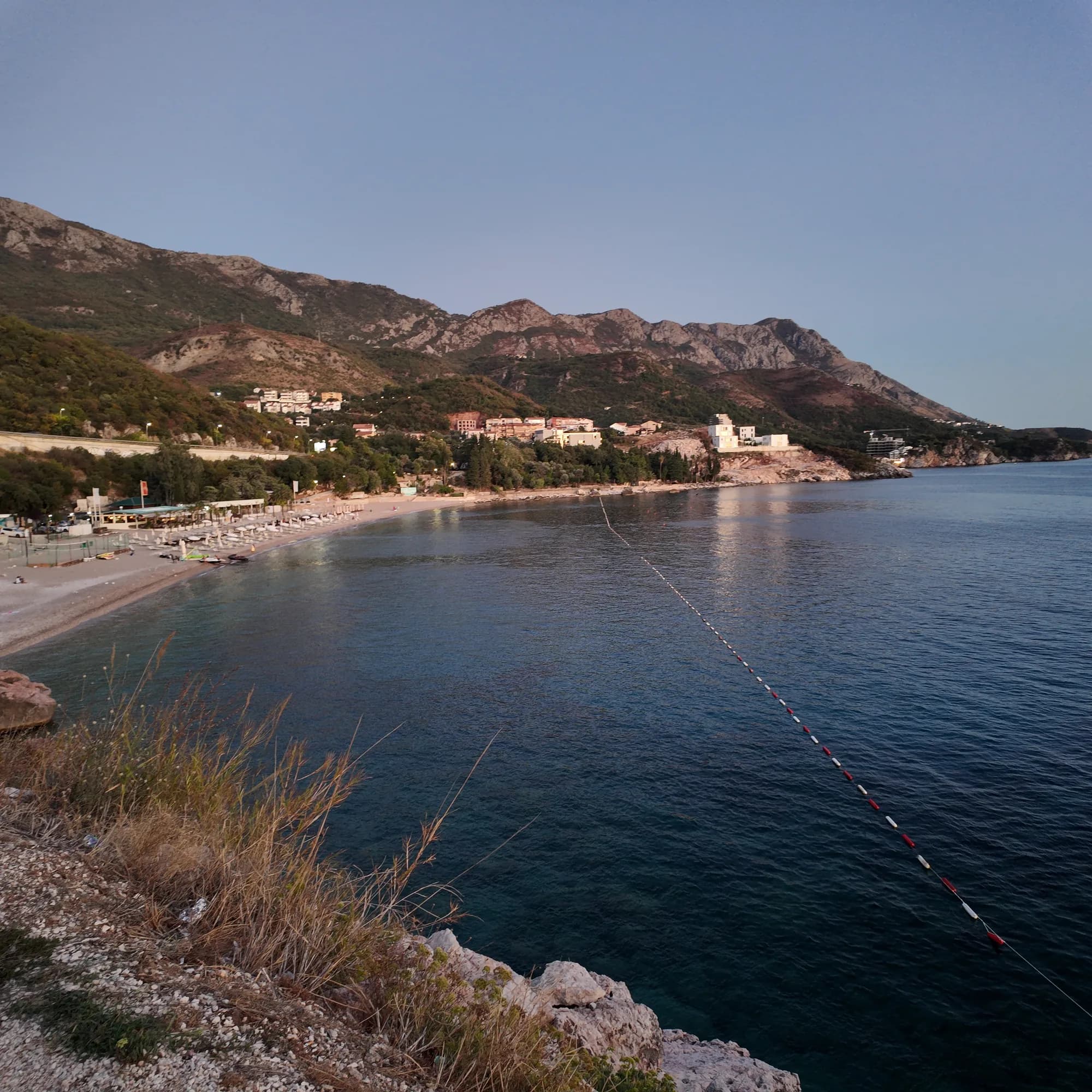 Kamenovo0.6 km Kamenovo0.6 km | 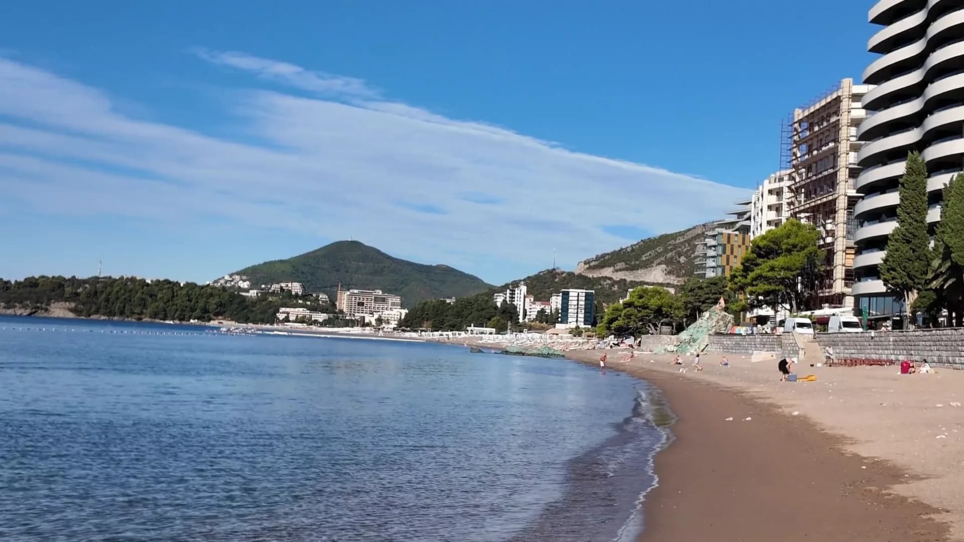 Bečići0.9 km Bečići0.9 km | 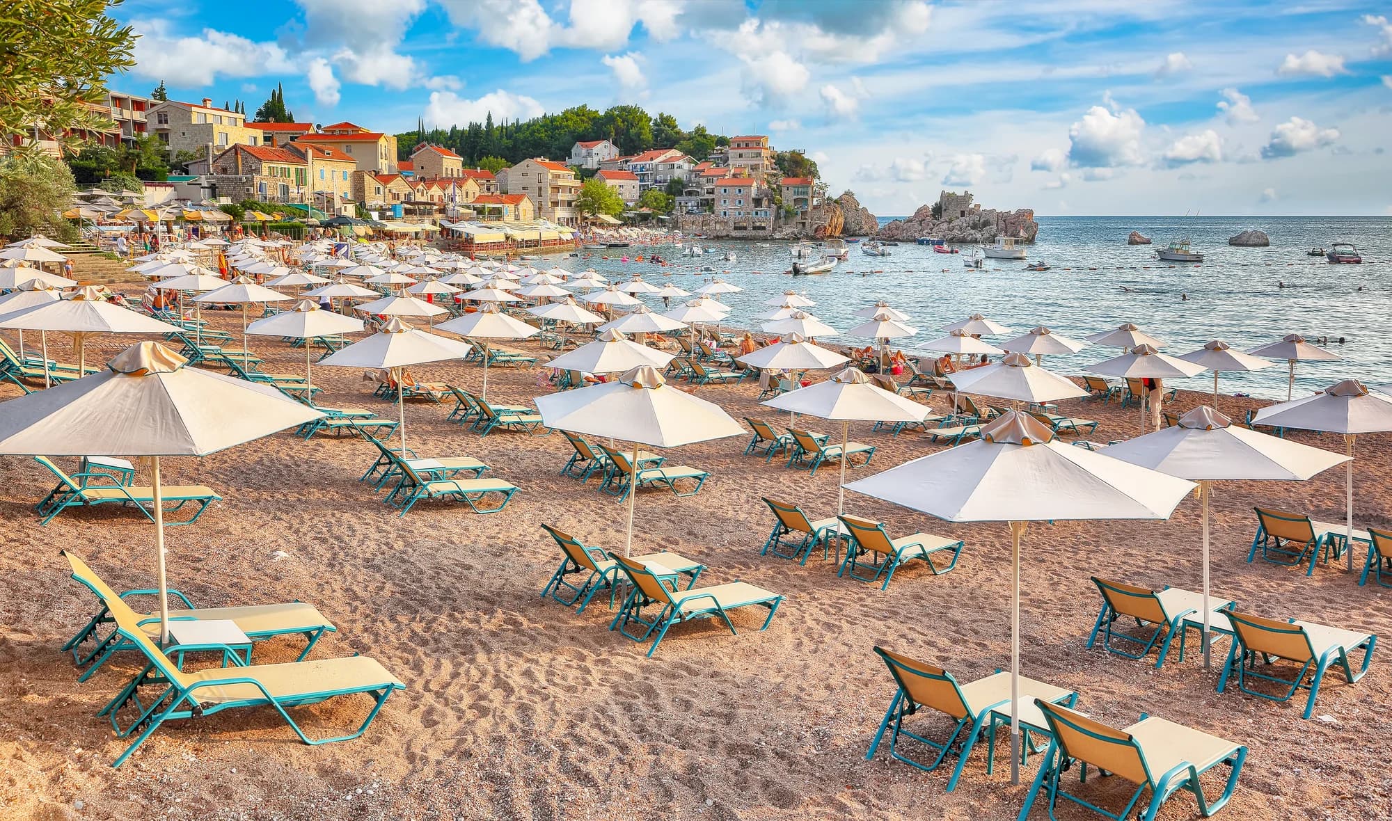 Pržno1.4 km Pržno1.4 km |
|---|---|---|---|---|
| Sol | sable et petits galets | sable et petits galets | sable et petits galets | sable et petits galets |
| Entrée | douce | douce | douce | douce |
| Profondeur | peu profond | peu profond | peu profond | peu profond |
| Ombre | parasols à louer | parasols à louer | arbres et parasols — diffère | parasols à louer |
| Caractère | aménagée | aménagée | parties aménagées et libres — diffère | aménagée |
| Longueur | 1.9–2 km | 0.3–0.3 km — diffère | 1.9–2 km | 0.1–0.3 km — diffère |
| Dernier prélèvement | Excellente | Excellente | Excellente | Excellente |
| Affluence | fréquentée en saison | fréquentée en saison | fréquentée en saison | fréquentée en saison |
| Accès | en voiture | en voiture | en voiture | en voiture |
Dormir près de Rafailovići
Tous les hébergements à Rafailovići →
Le guide complet
Lire le guide de Rafailovići
Tout ce qui précède est la version courte. Le guide contient les sources, les codes de secteur, les dates de prélèvement et ce qui change au cours d'une saison.
Questions
- Rafailovići est-elle une plage distincte de Bečići ?
- Non. Les documents officiels traitent l’ensemble des 2 000 m de rivage comme une seule plage divisée ; Rafailovići en est l’extrémité est, avec ses propres secteurs codés, 15D et 16A, dans le registre de Budva.
- Comment marcher jusqu’à Kamenovo ?
- Depuis le mouillage, allez vers l’est le long du rivage en passant devant la roche stratifiée du cap Đevištenje, puis le long du chemin en béton sous la falaise et à travers le tunnel éclairé — environ dix minutes. Rebroussez chemin si des barrières sont installées après une forte pluie.
- Comment commander du poisson sur le quai ?
- Le poisson se vend au poids et se grille avec de la blitva et des pommes de terre ; demandez l’espèce, l’origine et le prix au kilo avant qu’il ne passe sur le grill.
Sources
- montenegro.com — Rafailovići fishing village guide (/cities/rafailovici/rafailovici-fishing-village)
- montenegro.com — Rafailovići city hub (/cities/rafailovici)
- Morsko Dobro — Budva bathing-area contract register (sectors 15D, 16A) and 2025 mooring plan, via our guide
- Budva Tourism Organisation — Bečići Beach dimensions, via our guide
- Government of Montenegro / Morsko Dobro — official Blue Flag recipient list 2024 (no Rafailovići entry)
- OpenStreetMap — way 368633707 (beach at the eastern end of the strand), way 207518787 (Bečićka plaža)