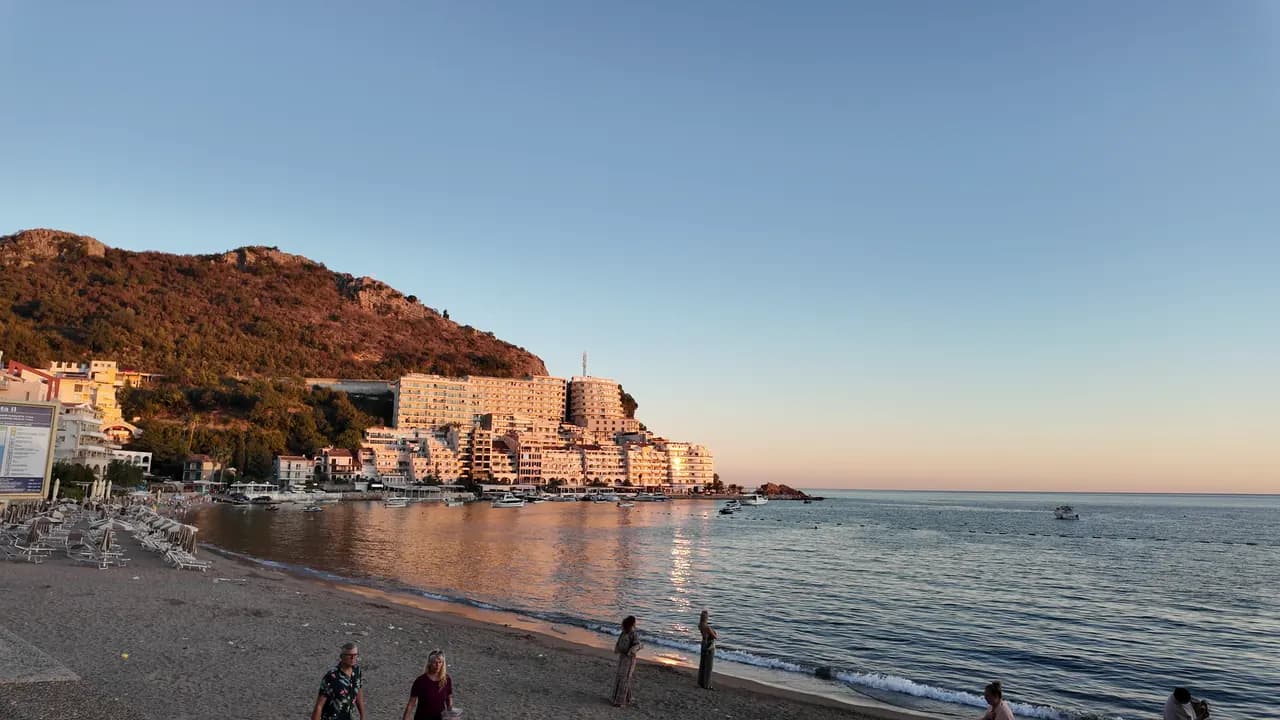
Rafailovići
Ribarski kraj bečićkog žala: dva uređena sektora, aktivno pristanište, riblji restorani na keju i tunelska staza ka Kamenovu.
Naša ocjena
Rafailovići nisu poseban zaliv, već zbijeni istočni kraj bečićkog žala, gdje pijesak prelazi u šljunak, zgrade se gomilaju na rtu, a pristanište od 65 m i dalje iskrcava i prodaje ulov. Njegova dva uređena sektora, 15D i 16A, prate pravila za javne plaže, a restorani na keju — Porat, Tri ribara, Obala, Aleksandar — su razlog zbog kojeg mnogi dolaze. Istočno od sela obalska staza prolazi ispod slojevite stijene rta Đevištenje i kroz osvijetljeni tunel do Kamenova za oko deset minuta.
- porodice
- pješake
- plivanje
- zalazak sunca
Rafailovići u činjenicama
Obala
Sadržaji
Pristup
Pravila i karakter
Činjenice provjerene 28. septembar 2026. · Dužina: Whole Bečići–Rafailovići strand: 1,950 m (sr.wikipedia) to about 2,000 m (Budva Tourism); Rafailovići is its eastern end, sectors 15D and 16A, and no separate official length is published · Još 11 podataka treba provjeriti na licu mjesta
Rafailovići u slikama
Fotografije i snimci: Montenegro.com, slobodni za korišćenje pod licencom CC BY 4.0.
Rafailovići u pokretu
Pristanište u Rafailovićima ujutru
Slojevi stijene rta Đevištenje
Pristanište u sumrak, svjetla se pale duž keja
Fotografije i snimci: Montenegro.com, slobodni za korišćenje pod licencom CC BY 4.0.
Mapa
Osjenčena površina je zvanična kupališna zona mjerne stanice Rafailovići — dionica koju JP Morsko dobro zaista uzorkuje, a ne obris plaže.
Kako doći
3.7 km
Budva
19 km
Kotor
19 km
Tivat airport
Rastojanja vazdušnom linijom — crnogorski putevi su planinski, pa je vožnja duža.
- Na šetnji Sedam uvalaStanica: rafailovici
- AutobusomBudva–Petrovac and Budva–Sveti Stefan local routes (stop on the main road above the village)
- AutomAbout 4 km east of Budva; the village streets are narrow and parking scarce — come by bus, taxi or along the promenade from Bečići
- 5 min pješkesa stepenicama — From the bus stop on the main road down through the village to the quay
Danas na plaži Rafailovići
Orijentacija je izračunata iz OpenStreetMap linije obale, pa se „prema obali“ i „s kopna“ odnose na ovu obalu, a ne na region. Prognoza: Open-Meteo
Voda i priznanja
Odlična
Posljednji zvanični uzorak 29. septembar 2026.: Odlična
More 20.6 °C u trenutku uzorkovanja
10 od 10 uzoraka ocijenjeno odlično u sezoni 2026
Zvanični rezultat JP Morsko dobro, mjerna stanica Rafailovići
Istočni kraj plaže Bečići prati se kao zasebna tačka, a ne zajedno sa sektorima na zapadu.
Nema priznanja koje možemo navesti za ovu plažu. I to je informacija.
Znajte prije kupanja
- Saobraćaj brodova ka i od pristaništa od 65 m na kraju sela — držite se obilježene zone za kupanje
- Obalska staza istočno ka Kamenovu prolazi ispod litice izložene padanju kamenja, a stijena je mokra poslije kiše; vratite se ako su postavljene barijere
- Parkinga ima malo, a ulice su uske — ne oslanjajte se na „parking u blizini“ u oglasu
- Prelazak magistrale kod autobuskog stajališta iznad sela
Kad je more toplo
Najtoplije je bilo 28.0 °C, 1. septembar 2026., a najhladnije 19.4 °C, 26. maj 2026.. Svaka tačka je stvarni izlazak na teren, sa temperaturom izmjerenom na licu mjesta, a ne mjesečni prosjek prepisan sa strane.
Prikaži svih 10 uzorkovanja
| Uzorkovano | More | Ocjena |
|---|---|---|
| 29. septembar 2026. | 20.6 °C | Odlična |
| 15. septembar 2026. | 25.4 °C | Odlična |
| 1. septembar 2026. | 28.0 °C | Odlična |
| 18. avgust 2026. | 26.0 °C | Odlična |
| 4. avgust 2026. | 25.7 °C | Odlična |
| 21. jul 2026. | 24.8 °C | Odlična |
| 7. jul 2026. | 21.6 °C | Odlična |
| 23. jun 2026. | 23.7 °C | Odlična |
| 9. jun 2026. | 24.1 °C | Odlična |
| 26. maj 2026. | 19.4 °C | Odlična |
Zvanični rezultat JP Morsko dobro, mjerna stanica Rafailovići
Sezona po sezonu
Voda na plaži Rafailovići uzorkovana je 69 puta od 2020. godine: 64 puta ocijenjena je kao odlična, 5 puta niže od toga.
Koliko se voda ugrijala, sezona po sezonu. Prosjek obuhvata samo uzorkovanja u julu i avgustu — stalni prozor, da godina u kojoj su inspektori dolazili rano ne ispadne hladna.
Nekoliko sezona je zapis, a ne trend: ovo rasipanje pokazuje kako izgleda mali broj datiranih mjerenja, a ne dokaz da se more grije ili hladi. Šuplja tačka označava sezonu u kojoj je jedno uzorkovanje bilo ispod ocjene odlična.
| Sezona | Uzorkovanja | Odlična | Ispod | Prosjek jul–avg. | Najtoplije |
|---|---|---|---|---|---|
| 2020 | 9 | 9 | — | 23.6 °C | 25.5 °C |
| 2021 | 10 | 9 | 1 | 26.4 °C | 28.5 °C |
| 2022 | 10 | 10 | — | 24.2 °C | 28 °C |
| 2023 | 10 | 9 | 1 | 24.4 °C | 28.1 °C |
| 2024 | 10 | 8 | 2 | 25 °C | 27.7 °C |
| 2025 | 10 | 9 | 1 | 23.1 °C | 25.8 °C |
| 2026u toku | 10 | 10 | — | 24.5 °C | 28 °C |
Zvanični rezultat JP Morsko dobro, mjerna stanica Rafailovići
Kategorija kupališta
Obala se izdaje u zakup lokacija po lokacija. Rafailovići je raspisana kroz 6 lokacija na oko 409 m obale, svaka sa zvaničnom kategorijom.
Među njima: Dječije odmaralište.
| Kategorija | Lokacija | Obala |
|---|---|---|
| Javno-porodično | 5 | 374 m |
| Dječije odmaralište | 1 | 35 m |
Ukupno oko 8,776 m². Ovo je ono što je dato u zakup, a ne ono što smo zatekli: broj ležaljki, sanitarnih čvorova i tuševa po lokaciji utvrđuje se potpisanim ugovorom, koji se ne objavljuje. Tenderi JP Morsko dobro
Plaže u blizini

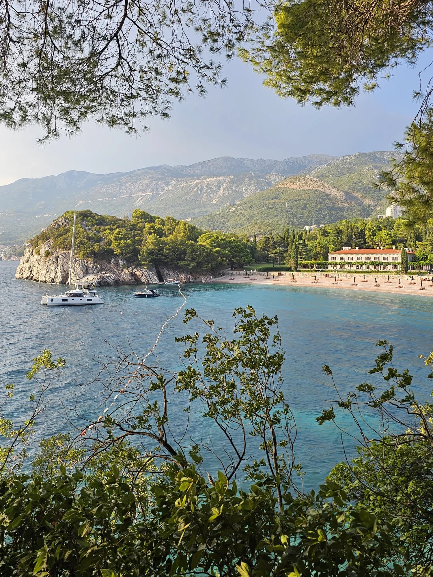
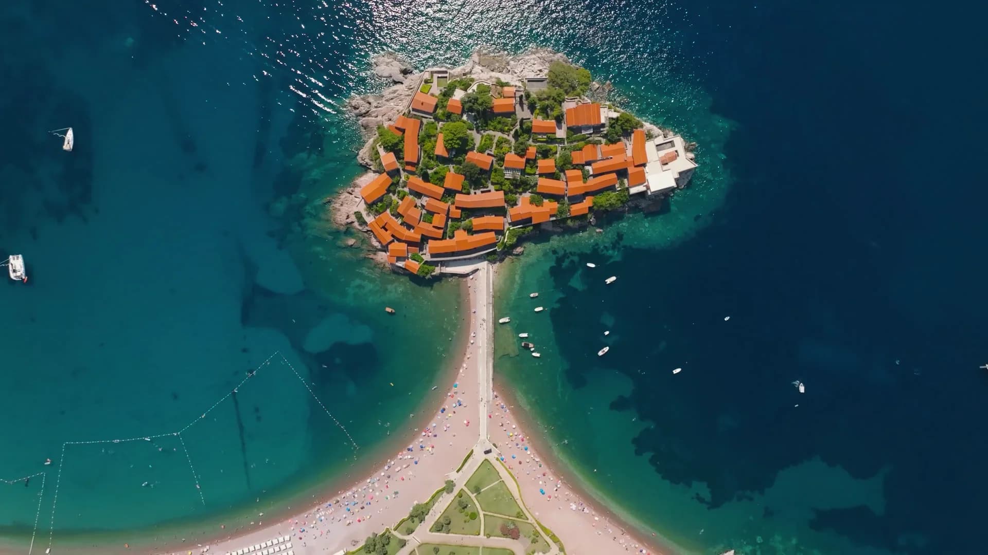
Rafailovići i susjedne plaže
Istih devet podataka za plaže do kojih možete stići istog dana. Podebljano znači da se razlikuje od ove.
| Podatak | 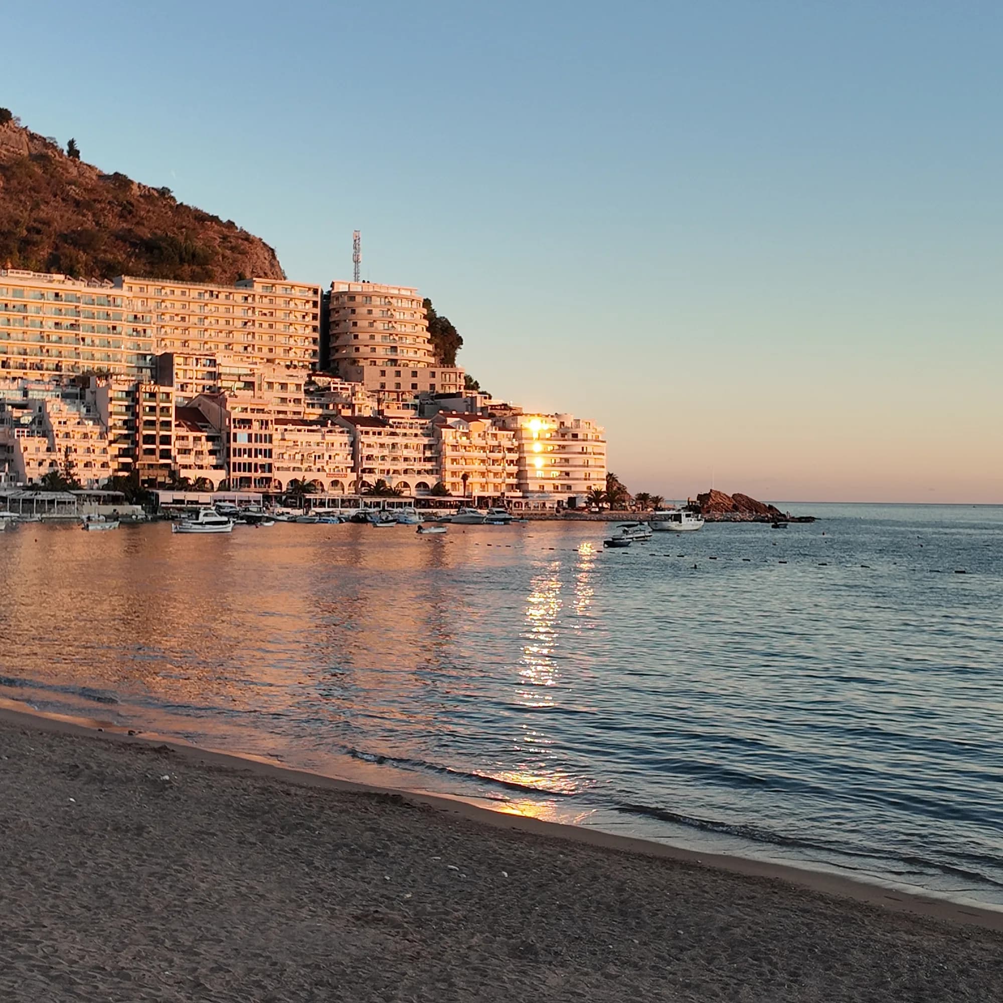 Rafailovićiova plaža Rafailovićiova plaža | 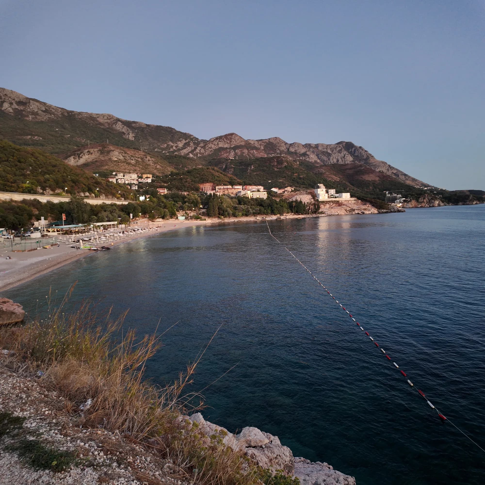 Kamenovo0.6 km Kamenovo0.6 km | 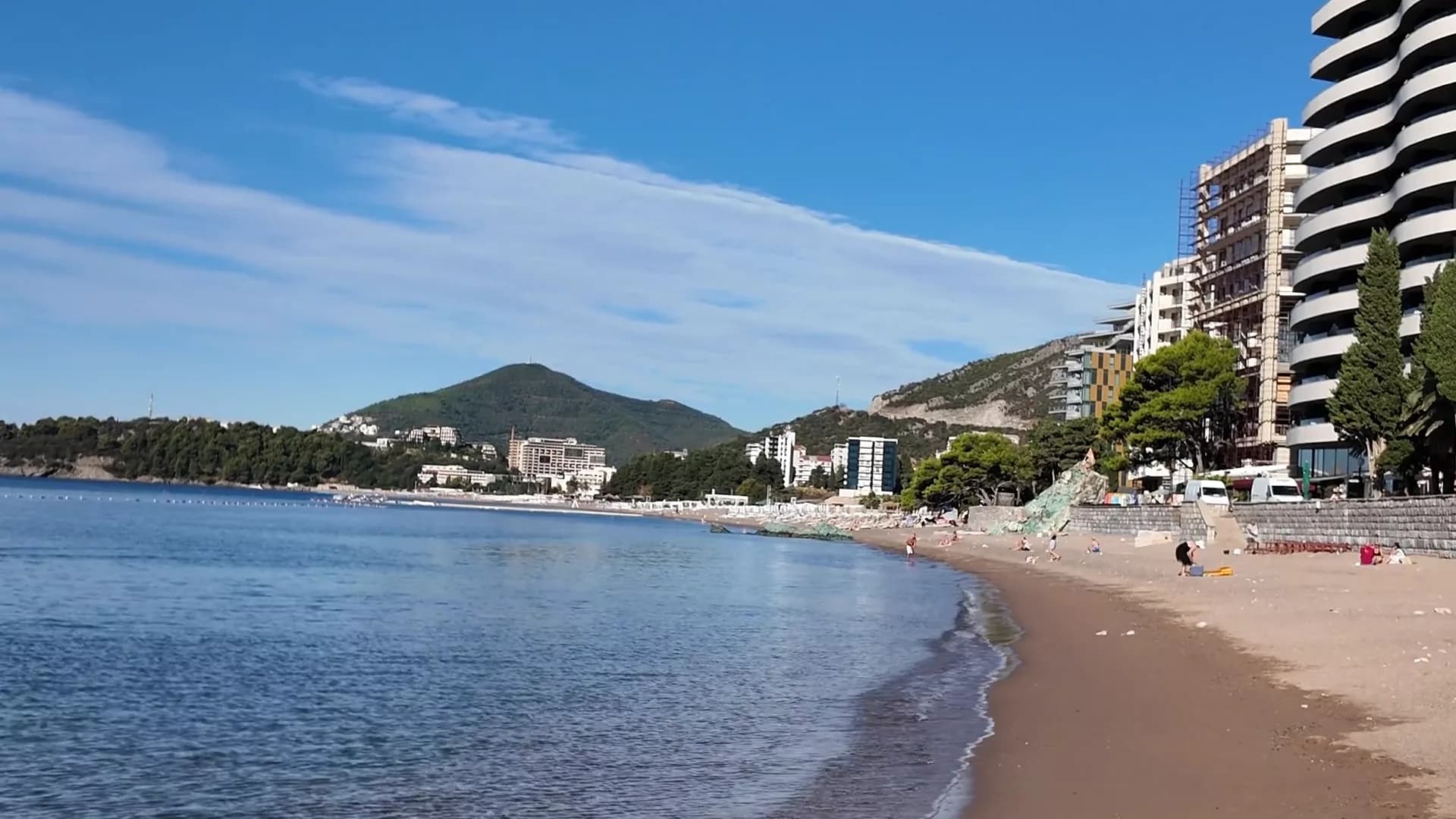 Bečići0.9 km Bečići0.9 km | 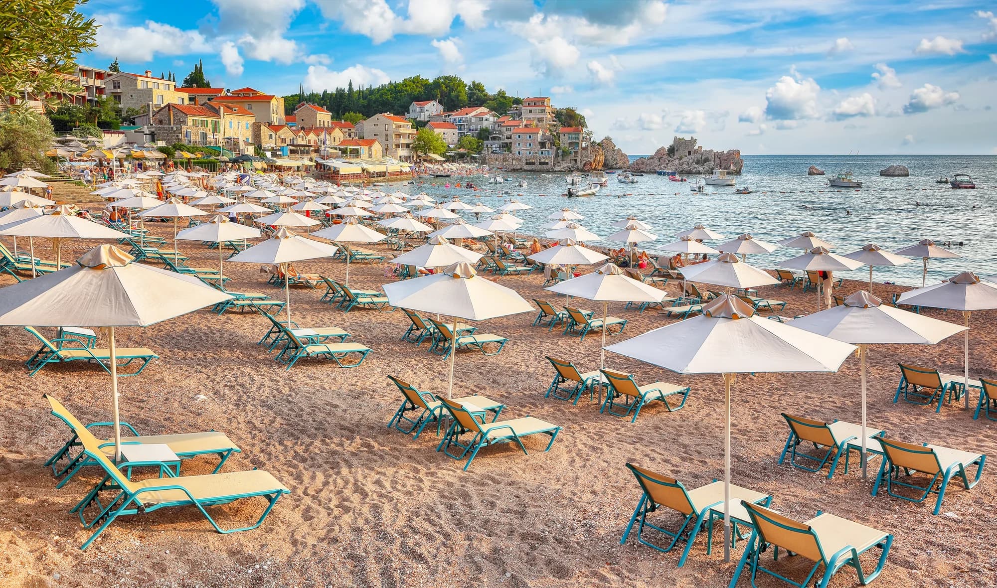 Pržno1.4 km Pržno1.4 km |
|---|---|---|---|---|
| Podloga | pijesak i sitni šljunak | pijesak i sitni šljunak | pijesak i sitni šljunak | pijesak i sitni šljunak |
| Ulazak u more | blag | blag | blag | blag |
| Dubina | plitko | plitko | plitko | plitko |
| Hlad | suncobrani za iznajmljivanje | suncobrani za iznajmljivanje | drveće i suncobrani — razlikuje se | suncobrani za iznajmljivanje |
| Karakter | uređena | uređena | uređeni i slobodni djelovi — razlikuje se | uređena |
| Dužina | 1.9–2 km | 0.3–0.3 km — razlikuje se | 1.9–2 km | 0.1–0.3 km — razlikuje se |
| Posljednji uzorak | Odlična | Odlična | Odlična | Odlična |
| Gužva | gužva u sezoni | gužva u sezoni | gužva u sezoni | gužva u sezoni |
| Kako doći | automobilom | automobilom | automobilom | automobilom |
Smještaj blizu plaže Rafailovići
Sav smještaj u mjestu Rafailovići →
Puni vodič
Pročitajte vodič za plažu Rafailovići
Sve gore navedeno je kratka verzija. Vodič sadrži izvore, šifre sektora, datume uzorkovanja i ono što se mijenja tokom sezone.
Pitanja
- Da li su Rafailovići posebna plaža u odnosu na Bečiće?
- Ne. Zvanični materijali tretiraju cijelu obalu od 2.000 m kao jedan podijeljeni žal; Rafailovići su njegov istočni kraj, sa sopstvenim označenim sektorima, 15D i 16A, u registru Budve.
- Kako pješke doći do Kamenova?
- Od pristaništa idite istočno duž obale pored slojevite stijene rta Đevištenje, zatim betonskom stazom ispod litice i kroz osvijetljeni tunel — oko deset minuta. Vratite se ako su nakon jake kiše postavljene barijere.
- Kako naručiti ribu na keju?
- Riba se prodaje na kilogram i sprema na žaru sa blitvom i krompirom; pitajte za vrstu, porijeklo i cijenu po kilogramu prije nego što ode na roštilj.
Izvori
- montenegro.com — Rafailovići fishing village guide (/cities/rafailovici/rafailovici-fishing-village)
- montenegro.com — Rafailovići city hub (/cities/rafailovici)
- Morsko Dobro — Budva bathing-area contract register (sectors 15D, 16A) and 2025 mooring plan, via our guide
- Budva Tourism Organisation — Bečići Beach dimensions, via our guide
- Government of Montenegro / Morsko Dobro — official Blue Flag recipient list 2024 (no Rafailovići entry)
- OpenStreetMap — way 368633707 (beach at the eastern end of the strand), way 207518787 (Bečićka plaža)