Rafailovići
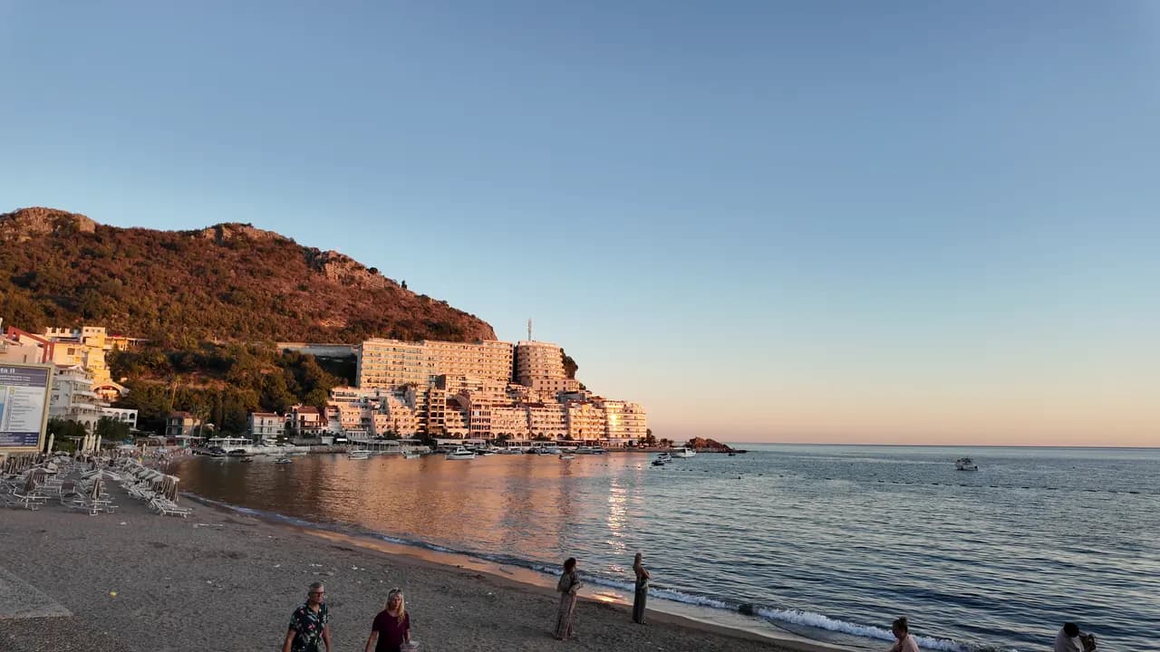
L'estremità da villaggio di pescatori dell'arenile di Bečići: due settori gestiti, un approdo attivo, ristoranti di pesce sulla banchina e il sentiero della galleria verso Kamenovo.
Il nostro verdetto
Rafailovići non è una baia separata ma la compatta estremità orientale dell'arenile di Bečići, dove la sabbia diventa ciottoli, gli edifici si accalcano sul promontorio e un approdo di 65 m sbarca e vende ancora il pescato. I suoi due settori gestiti, 15D e 16A, seguono le regole per le spiagge pubbliche, e i ristoranti sulla banchina — Porat, Tri Ribara, Obala, Aleksandar — sono il motivo per cui molti vengono qui. A est del villaggio il sentiero costiero corre sotto la roccia stratificata di Capo Đevištenje e attraverso una galleria illuminata fino a Kamenovo in circa dieci minuti.
- famiglie
- camminatori
- nuotare
- tramonto
Rafailovići, in dati
La riva
Servizi
Accesso
Regole e carattere
Dati verificati il 28 settembre 2026 · Lunghezza: Whole Bečići–Rafailovići strand: 1,950 m (sr.wikipedia) to about 2,000 m (Budva Tourism); Rafailovići is its eastern end, sectors 15D and 16A, and no separate official length is published · Altri 11 dati da verificare sul posto
Rafailovići in immagini
Fotografie e riprese di Montenegro.com, riutilizzabili con licenza CC BY 4.0.
Rafailovići in movimento
L'approdo di Rafailovići al mattino
Gli strati rocciosi di Capo Đevištenje
L'approdo al crepuscolo, le luci che si accendono lungo la banchina
Fotografie e riprese di Montenegro.com, riutilizzabili con licenza CC BY 4.0.
Mappa
L’area ombreggiata è la zona di balneazione ufficiale della stazione Rafailovići: il tratto che JP Morsko dobro campiona davvero, non il contorno della spiaggia.
Come arrivare
3.7 km
Budva
19 km
Kotor
19 km
Tivat airport
Distanze in linea d'aria — le strade del Montenegro sono strade di montagna, quindi il viaggio è più lungo.
- Sulla passeggiata Le Sette BaieTappa: rafailovici
- In autobusBudva–Petrovac and Budva–Sveti Stefan local routes (stop on the main road above the village)
- In autoAbout 4 km east of Budva; the village streets are narrow and parking scarce — come by bus, taxi or along the promenade from Bečići
- 5 min a piedicon gradini — From the bus stop on the main road down through the village to the quay
Oggi a Rafailovići
L’orientamento è calcolato dalla linea di costa di OpenStreetMap, quindi «verso la spiaggia» e «da terra» riguardano questa riva, non la regione. Previsioni di Open-Meteo
Acqua e riconoscimenti
Eccellente
Ultimo campione ufficiale 29 settembre 2026: Eccellente
Mare a 20.6 °C al momento del prelievo
10 campioni eccellenti su 10 nella stagione 2026
Risultato ufficiale di JP Morsko dobro, stazione Rafailovići
L'estremità orientale dell'arenile di Bečići, monitorata come punto a sé anziché insieme ai settori a ovest.
Nessun riconoscimento che possiamo citare per questa spiaggia. Anche l'assenza è un'informazione.
Da sapere prima di fare il bagno
- Traffico di imbarcazioni in entrata e uscita dall'approdo di 65 m all'estremità del villaggio — resta nella zona di balneazione delimitata da boe
- Il sentiero costiero verso est fino a Kamenovo corre sotto una scogliera esposta alla caduta di rocce e roccia bagnata dopo la pioggia; torna indietro se le barriere sono chiuse
- Il parcheggio è scarso e le strade sono strette — non fare affidamento su "parcheggio nelle vicinanze" in un annuncio
- L'attraversamento della strada principale alla fermata dell'autobus sopra il villaggio
Quando l'acqua è calda
Rafailovići ha toccato il massimo, 28.0 °C, il 1 settembre 2026, e il minimo, 19.4 °C, il 26 maggio 2026. Ogni punto è un campionamento reale con la temperatura rilevata sul posto, non una media mensile copiata altrove.
Vedi tutti i 10 campionamenti
| Campionato | Mare | Esito |
|---|---|---|
| 29 settembre 2026 | 20.6 °C | Eccellente |
| 15 settembre 2026 | 25.4 °C | Eccellente |
| 1 settembre 2026 | 28.0 °C | Eccellente |
| 18 agosto 2026 | 26.0 °C | Eccellente |
| 4 agosto 2026 | 25.7 °C | Eccellente |
| 21 luglio 2026 | 24.8 °C | Eccellente |
| 7 luglio 2026 | 21.6 °C | Eccellente |
| 23 giugno 2026 | 23.7 °C | Eccellente |
| 9 giugno 2026 | 24.1 °C | Eccellente |
| 26 maggio 2026 | 19.4 °C | Eccellente |
Risultato ufficiale di JP Morsko dobro, stazione Rafailovići
Stagione per stagione
Rafailovići è stata campionata 69 volte dal 2020: 64 di quelle letture eccellenti, 5 sotto.
Quanto si è scaldata l'acqua, stagione per stagione. La media riguarda solo i campionamenti di luglio e agosto: una finestra fissa, così un anno in cui gli ispettori sono passati presto non risulta freddo.
Una manciata di stagioni è un archivio, non una tendenza: quella che si vede qui è la dispersione normale di poche misure datate, non la prova di un mare che si scalda o si raffredda. Un punto vuoto segna una stagione in cui un campionamento è finito sotto «eccellente».
| Stagione | Campionamenti | Eccellente | Sotto | Media lug.-ago. | Massima |
|---|---|---|---|---|---|
| 2020 | 9 | 9 | — | 23.6 °C | 25.5 °C |
| 2021 | 10 | 9 | 1 | 26.4 °C | 28.5 °C |
| 2022 | 10 | 10 | — | 24.2 °C | 28 °C |
| 2023 | 10 | 9 | 1 | 24.4 °C | 28.1 °C |
| 2024 | 10 | 8 | 2 | 25 °C | 27.7 °C |
| 2025 | 10 | 9 | 1 | 23.1 °C | 25.8 °C |
| 2026in corso | 10 | 10 | — | 24.5 °C | 28 °C |
Risultato ufficiale di JP Morsko dobro, stazione Rafailovići
In concessione come
Lo Stato affitta questa costa lotto per lotto. Rafailovići è messa a gara in 6 lotti per circa 409 m di riva, ognuno con una categoria ufficiale.
Tra questi: Colonia per bambini.
| Categoria | Lotti | Riva |
|---|---|---|
| Balneazione per famiglie | 5 | 374 m |
| Colonia per bambini | 1 | 35 m |
Circa 8,776 m² in tutto. Questo è ciò che è in concessione, non ciò che abbiamo visto: il numero di lettini, servizi e docce per lotto è fissato nel contratto firmato, che non viene pubblicato. Bandi di JP Morsko dobro
Spiagge vicine

Rafailovići e le spiagge vicine
Le stesse nove misure per le spiagge raggiungibili in giornata. Il grassetto indica una differenza rispetto a questa.
| Misura | 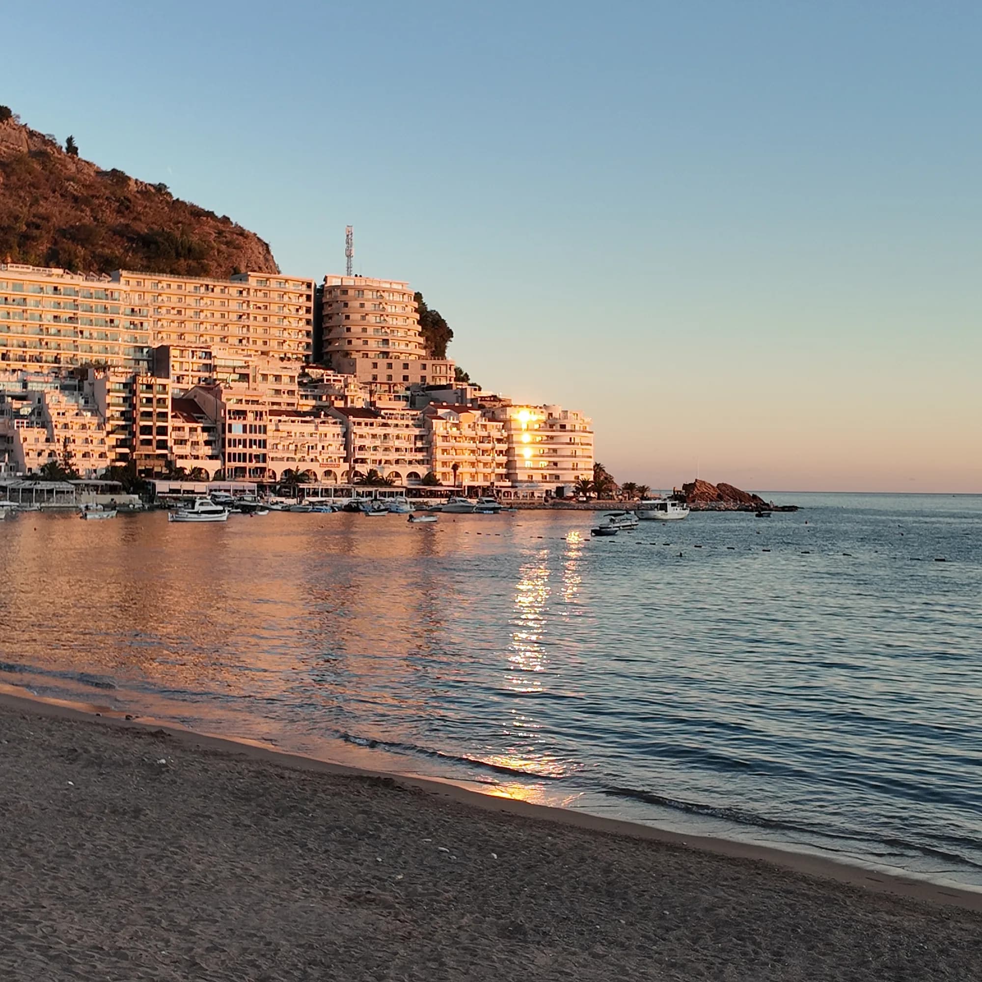 Rafailovićiquesta spiaggia Rafailovićiquesta spiaggia | 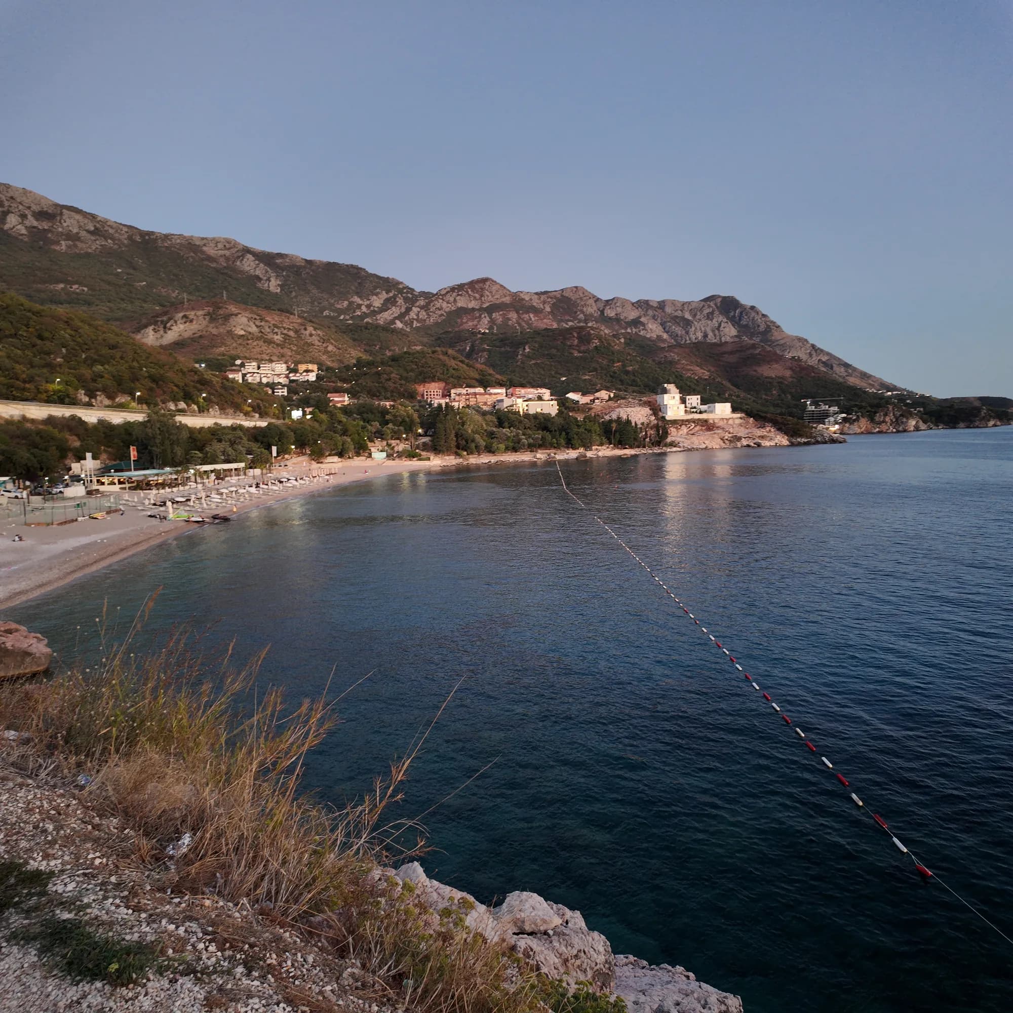 Kamenovo0.6 km Kamenovo0.6 km | 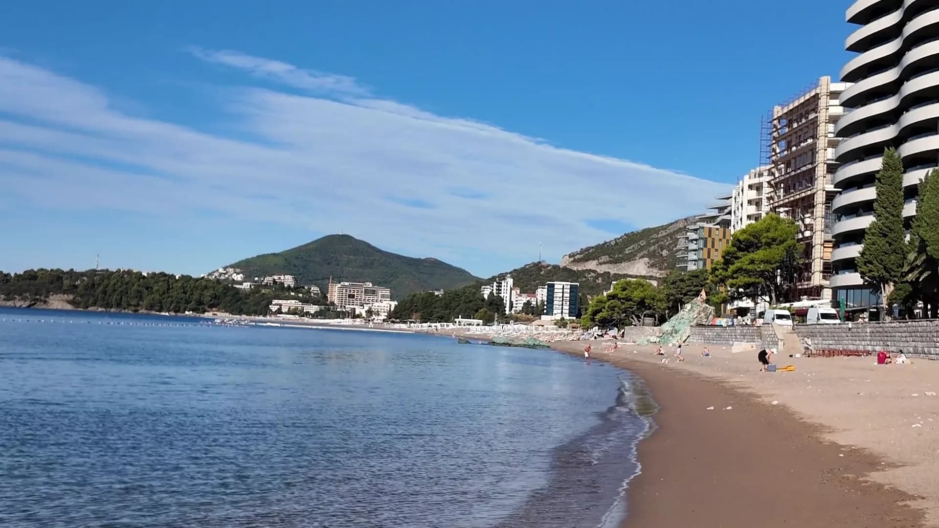 Bečići0.9 km Bečići0.9 km | 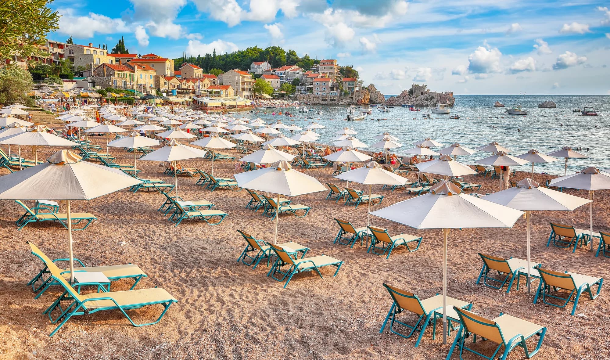 Pržno1.4 km Pržno1.4 km |
|---|---|---|---|---|
| Fondo | sabbia e ciottoli fini | sabbia e ciottoli fini | sabbia e ciottoli fini | sabbia e ciottoli fini |
| Ingresso | dolce | dolce | dolce | dolce |
| Profondità | bassa | bassa | bassa | bassa |
| Ombra | ombrelloni a noleggio | ombrelloni a noleggio | alberi e ombrelloni — differisce | ombrelloni a noleggio |
| Carattere | attrezzata | attrezzata | tratti attrezzati e liberi — differisce | attrezzata |
| Lunghezza | 1.9–2 km | 0.3–0.3 km — differisce | 1.9–2 km | 0.1–0.3 km — differisce |
| Ultimo campione | Eccellente | Eccellente | Eccellente | Eccellente |
| Affollamento | affollata in stagione | affollata in stagione | affollata in stagione | affollata in stagione |
| Come arrivare | in auto | in auto | in auto | in auto |
Dormire vicino a Rafailovići
Tutti gli alloggi a Rafailovići →
La guida completa
Leggi la guida di Rafailovići
Tutto quanto sopra è la versione breve. La guida contiene le fonti, i codici di settore, le date dei campionamenti e ciò che cambia nel corso di una stagione.
Domande
- Rafailovići è una spiaggia separata da Bečići?
- No. Il materiale ufficiale tratta l'intero arenile di 2.000 m come un unico tratto diviso; Rafailovići ne è l'estremità orientale, con i propri settori codificati, 15D e 16A, nel registro di Budva.
- Come si arriva a piedi a Kamenovo?
- Dall'approdo prosegui verso est lungo la costa oltre la roccia stratificata di Capo Đevištenje, poi lungo il sentiero di cemento sotto la scogliera e attraverso la galleria illuminata — circa dieci minuti. Torna indietro se le barriere sono chiuse dopo una pioggia forte.
- Come si ordina il pesce sulla banchina?
- Il pesce si vende a peso e si serve grigliato con blitva e patate; chiedi la specie, l'origine e il prezzo al chilo prima che vada sulla griglia.
Fonti
- montenegro.com — Rafailovići fishing village guide (/cities/rafailovici/rafailovici-fishing-village)
- montenegro.com — Rafailovići city hub (/cities/rafailovici)
- Morsko Dobro — Budva bathing-area contract register (sectors 15D, 16A) and 2025 mooring plan, via our guide
- Budva Tourism Organisation — Bečići Beach dimensions, via our guide
- Government of Montenegro / Morsko Dobro — official Blue Flag recipient list 2024 (no Rafailovići entry)
- OpenStreetMap — way 368633707 (beach at the eastern end of the strand), way 207518787 (Bečićka plaža)