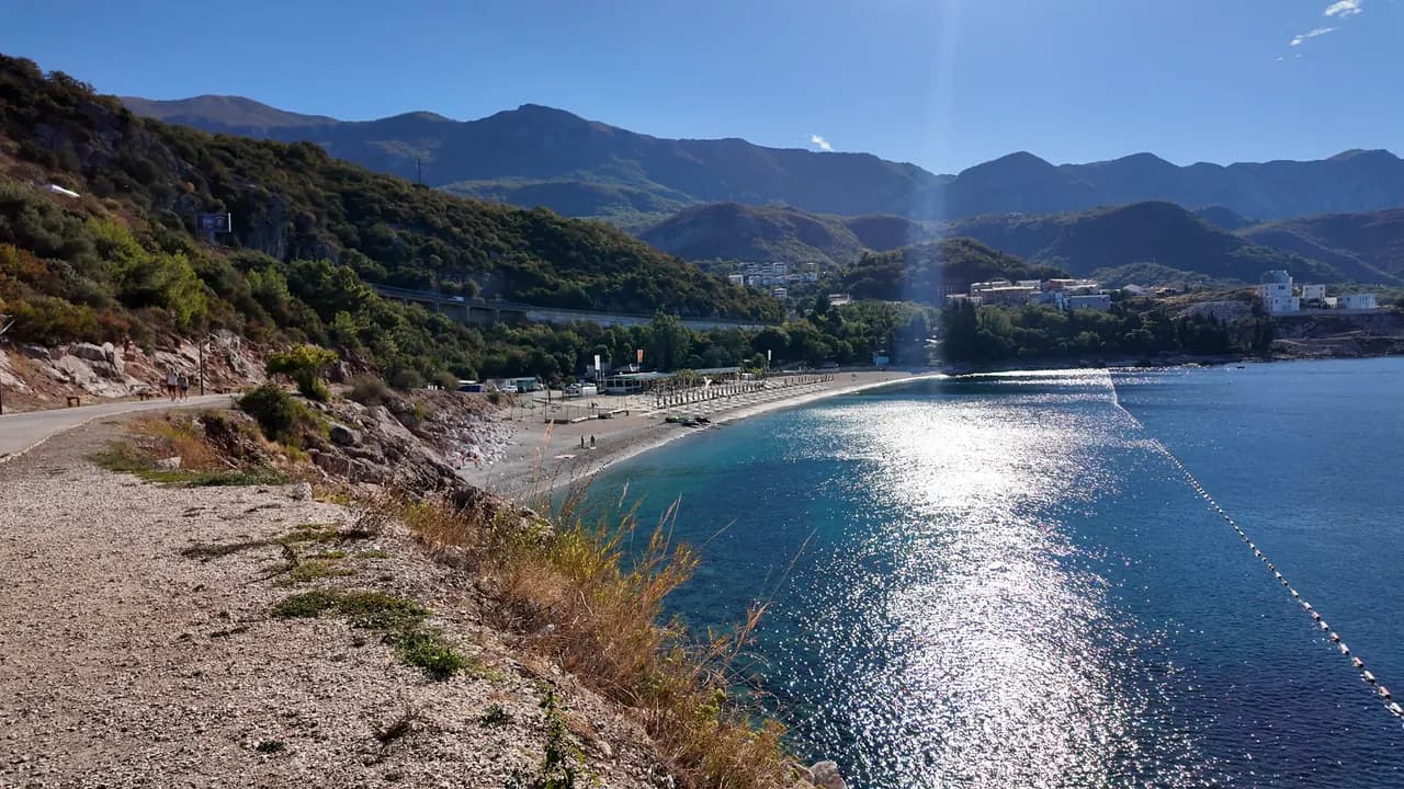
Kamenovo
Un arco di 340 metri di sabbia e ciottoli fini raggiungibile attraverso una galleria nella roccia, con i risultati ufficiali sull'acqua più puliti della riviera.
Il nostro verdetto
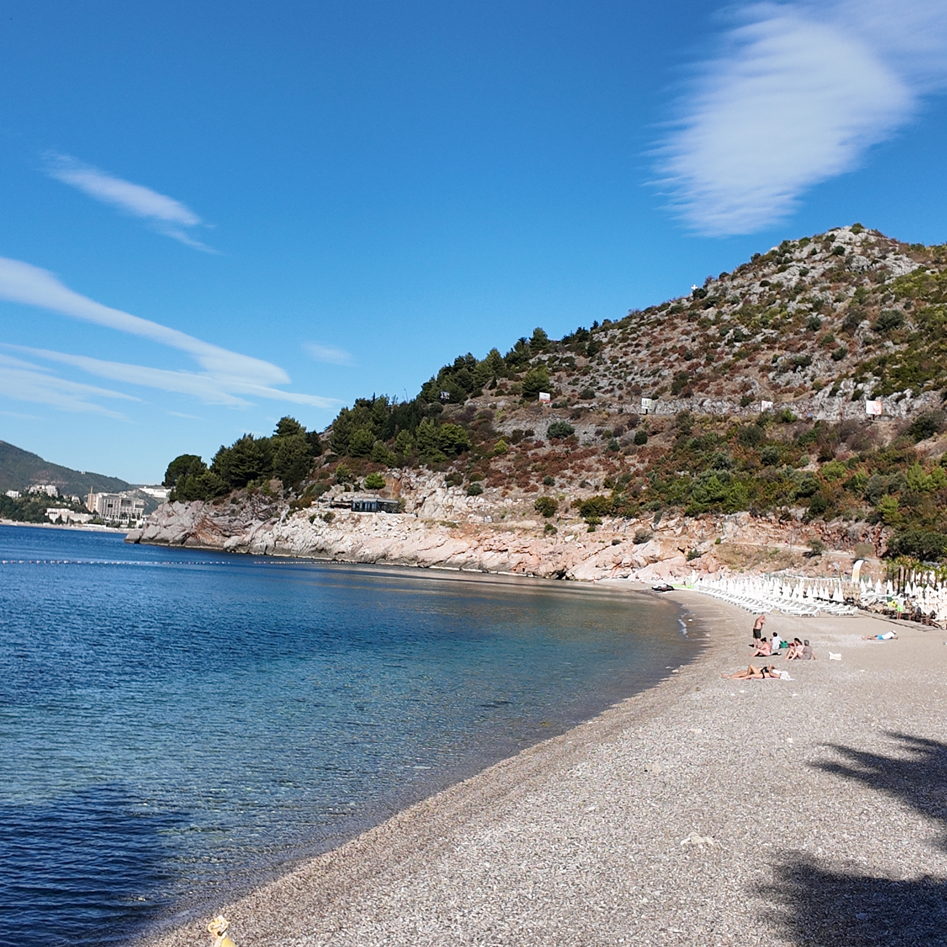
Kamenovo è la baia in cui si trasforma la riviera di Budva una volta finito l'arenile di Bečići: sabbia e ciottoli fini misti, un ingresso dolce, acqua delimitata da boe risultata Eccellente in ogni campionamento del 2026, e vedute aperte verso Sveti Stefan. È una spiaggia gestita, non una cala segreta, e ne guadagna — due concessioni, un bar sotto le palme, e le regole per le spiagge pubbliche che tengono libera da attrezzature metà della lunghezza.
- nuotare
- famiglie
- camminatori
- tramonto
Kamenovo, in dati
La riva
Servizi
Accesso
Regole e carattere
Dati verificati il 28 settembre 2026 · Lunghezza: State planning assessment (wapi.gov.me), which gives both figures · Altri 7 dati da verificare sul posto
Kamenovo in immagini
Fotografie e riprese di Montenegro.com, riutilizzabili con licenza CC BY 4.0. Le nostre sono del 28 settembre 2026.
Kamenovo in movimento
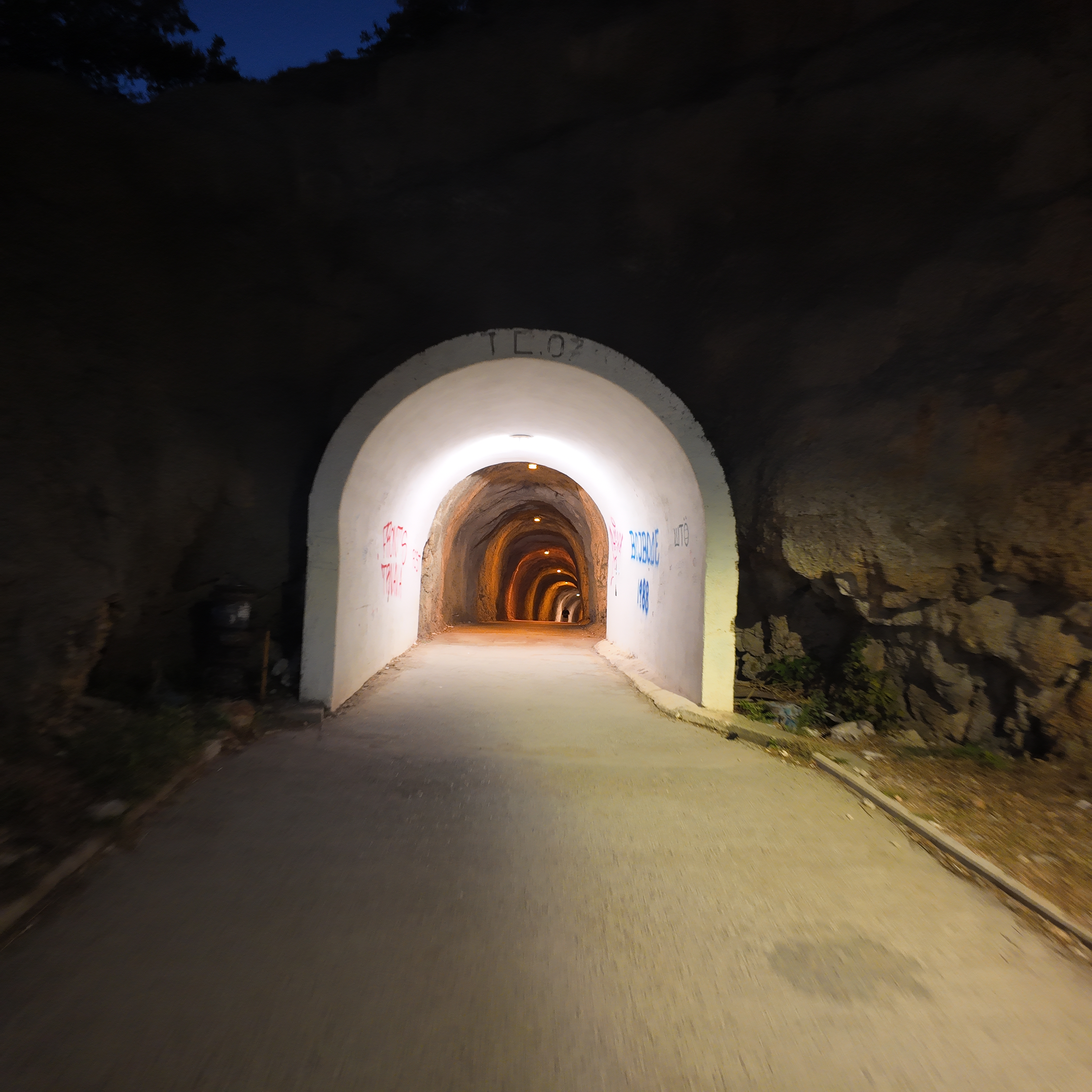
Attraverso la galleria nella roccia da Rafailovići, la luce di Kamenovo in fondo
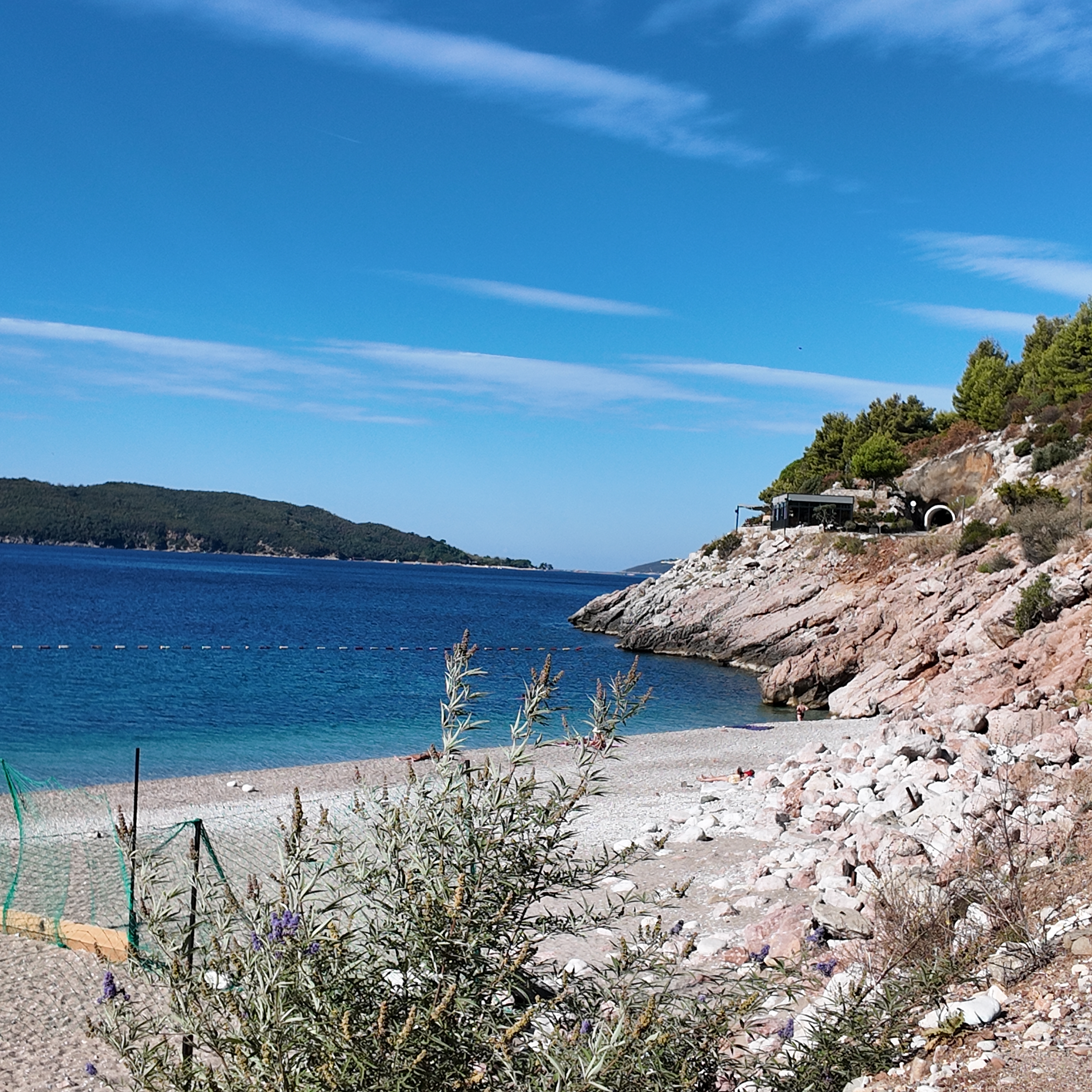
La cala rocciosa all'estremità occidentale di Kamenovo al mattino
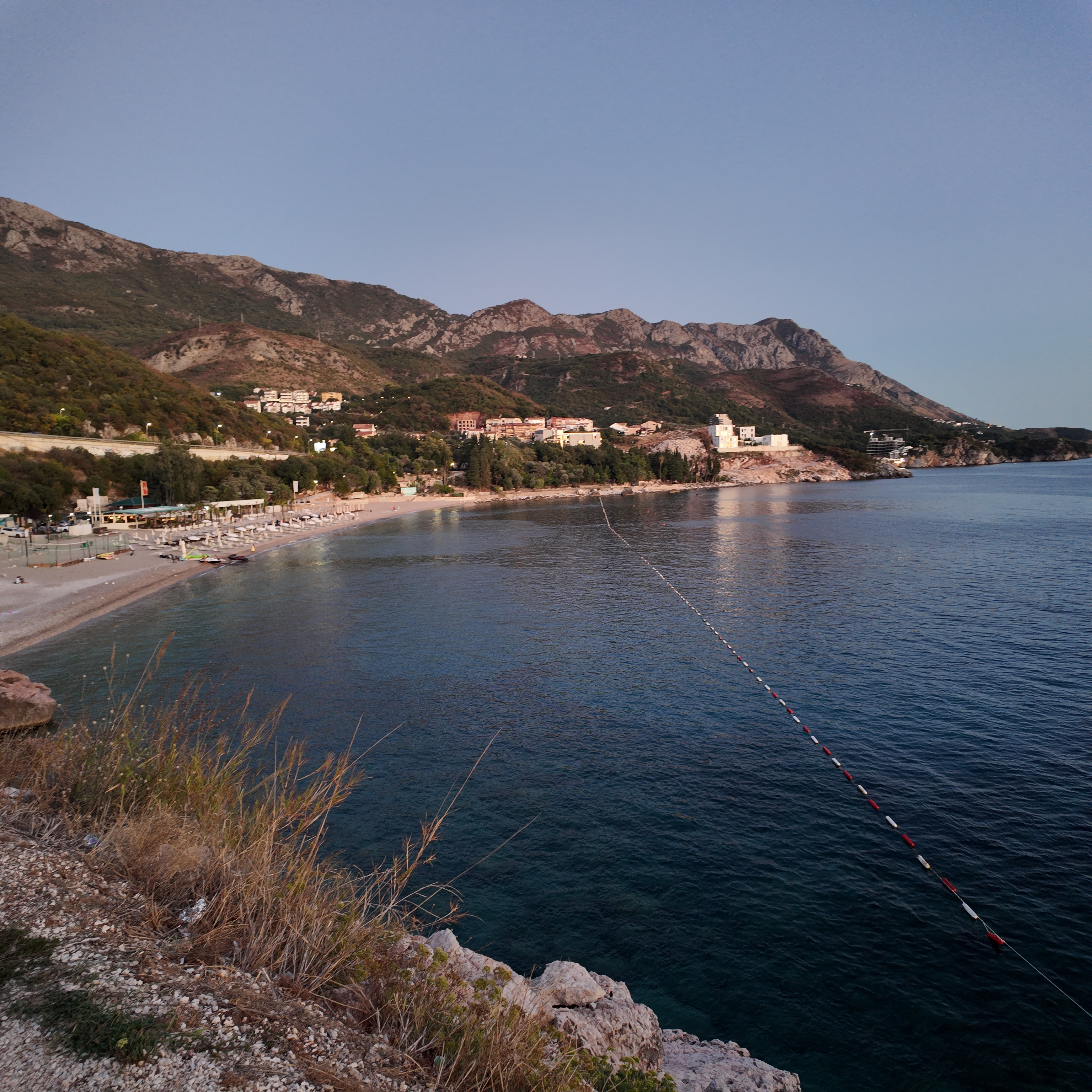
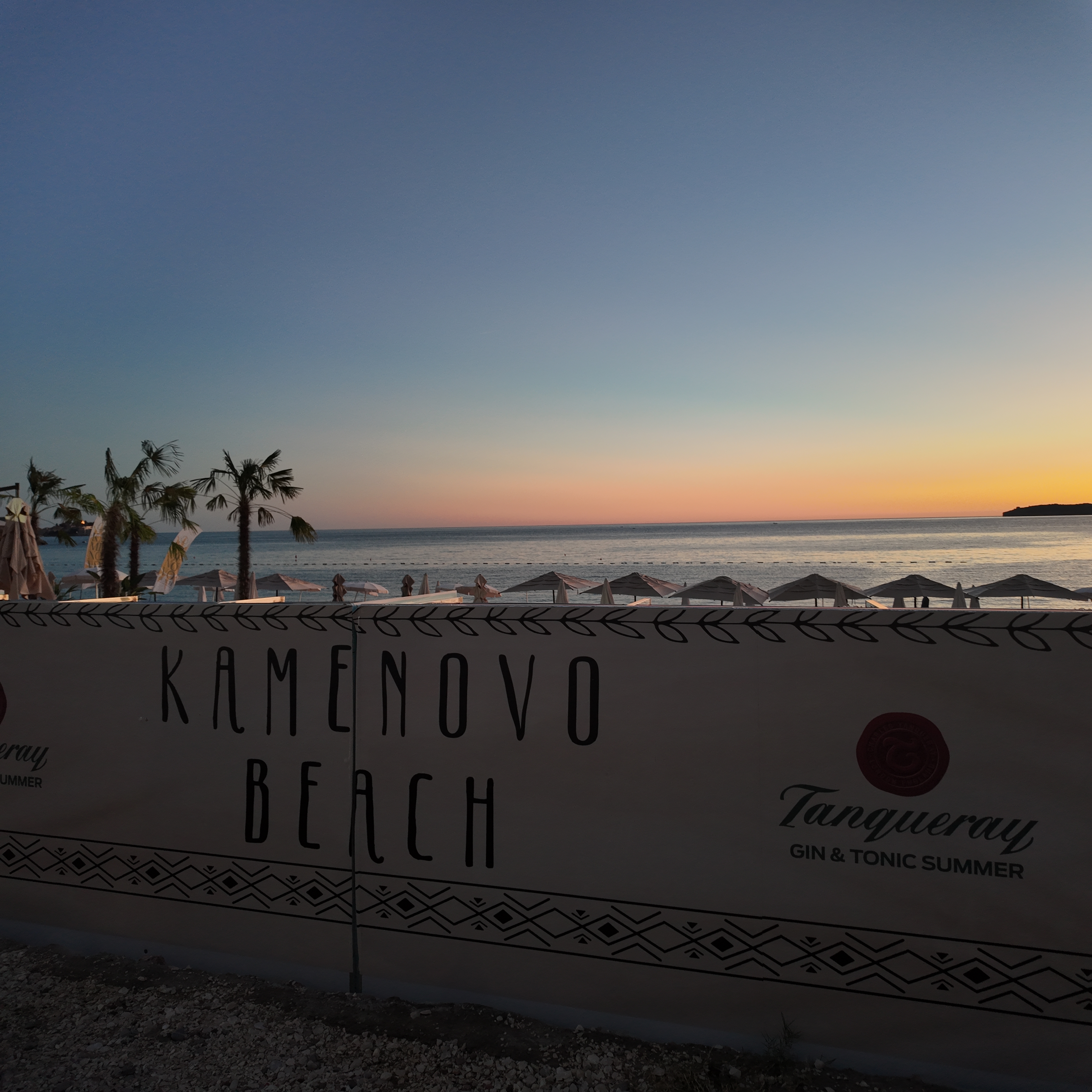
Kamenovo al crepuscolo, le luci di Pržno che si accendono al di là della baia
Fotografie e riprese di Montenegro.com, riutilizzabili con licenza CC BY 4.0. Le nostre sono del 28 settembre 2026.
Originali liberi · CC BY 4.0
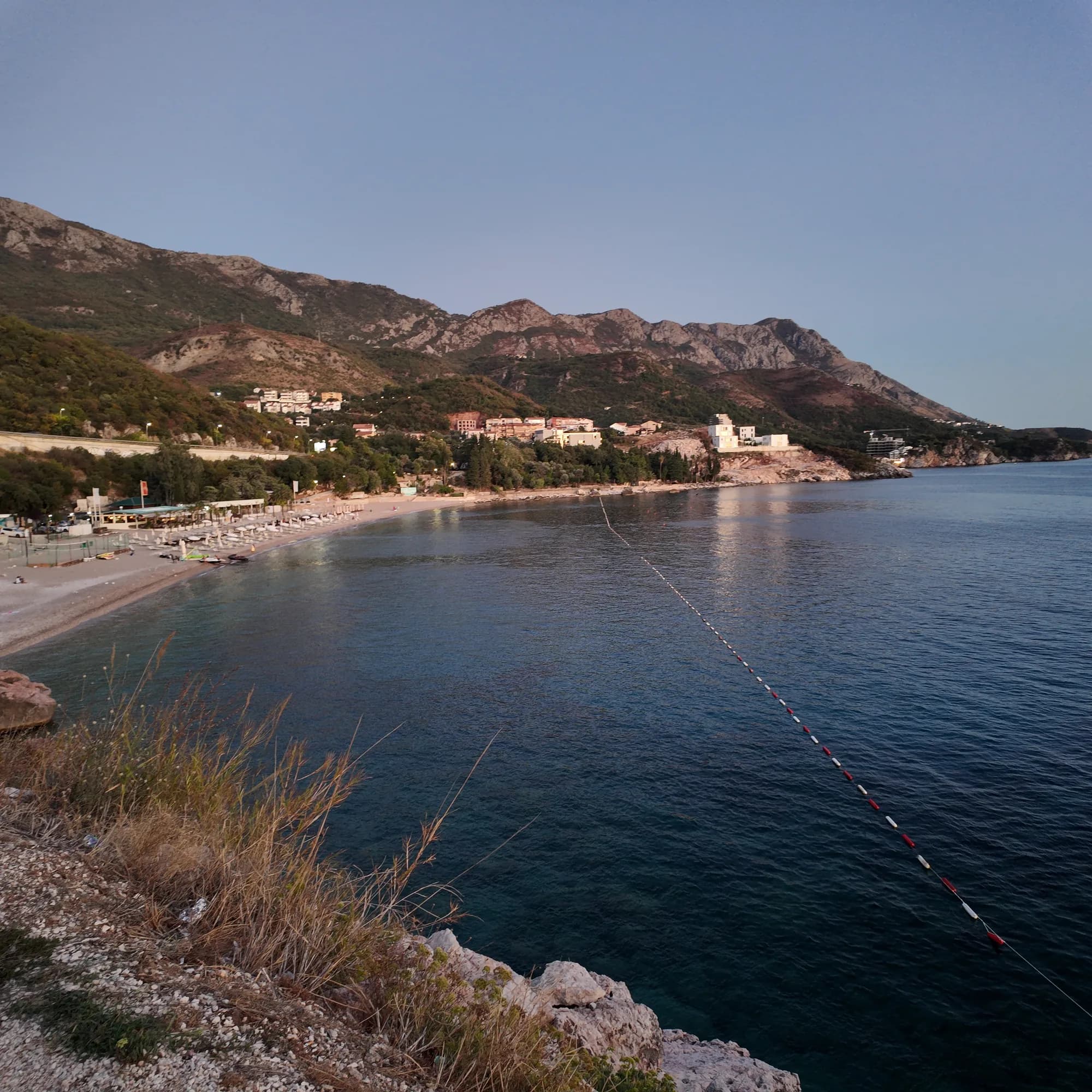
Foto a grandezza piena
Kamenovo beach from the coastal path — original JPEG with EXIF
3072 × 3072 · JPEG · 7 MB
Scarica il DNG (7 MB)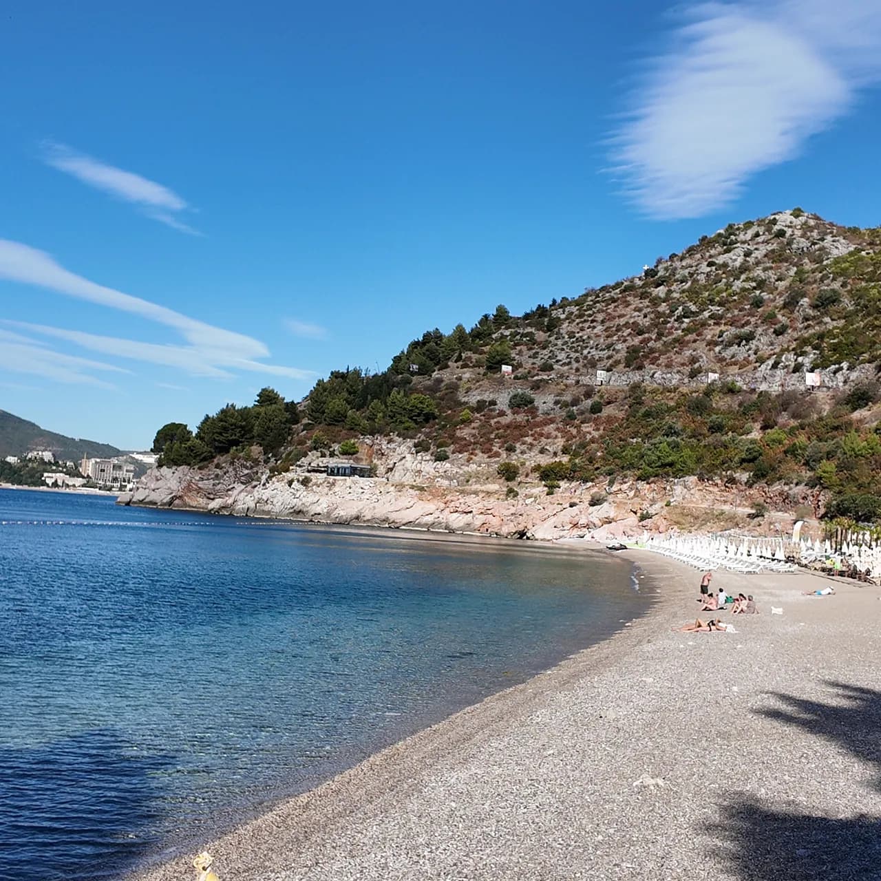
Foto a grandezza piena
Kamenovo beach in the morning — original JPEG with EXIF
3072 × 3072 · JPEG · 7 MB
Scarica il DNG (7 MB)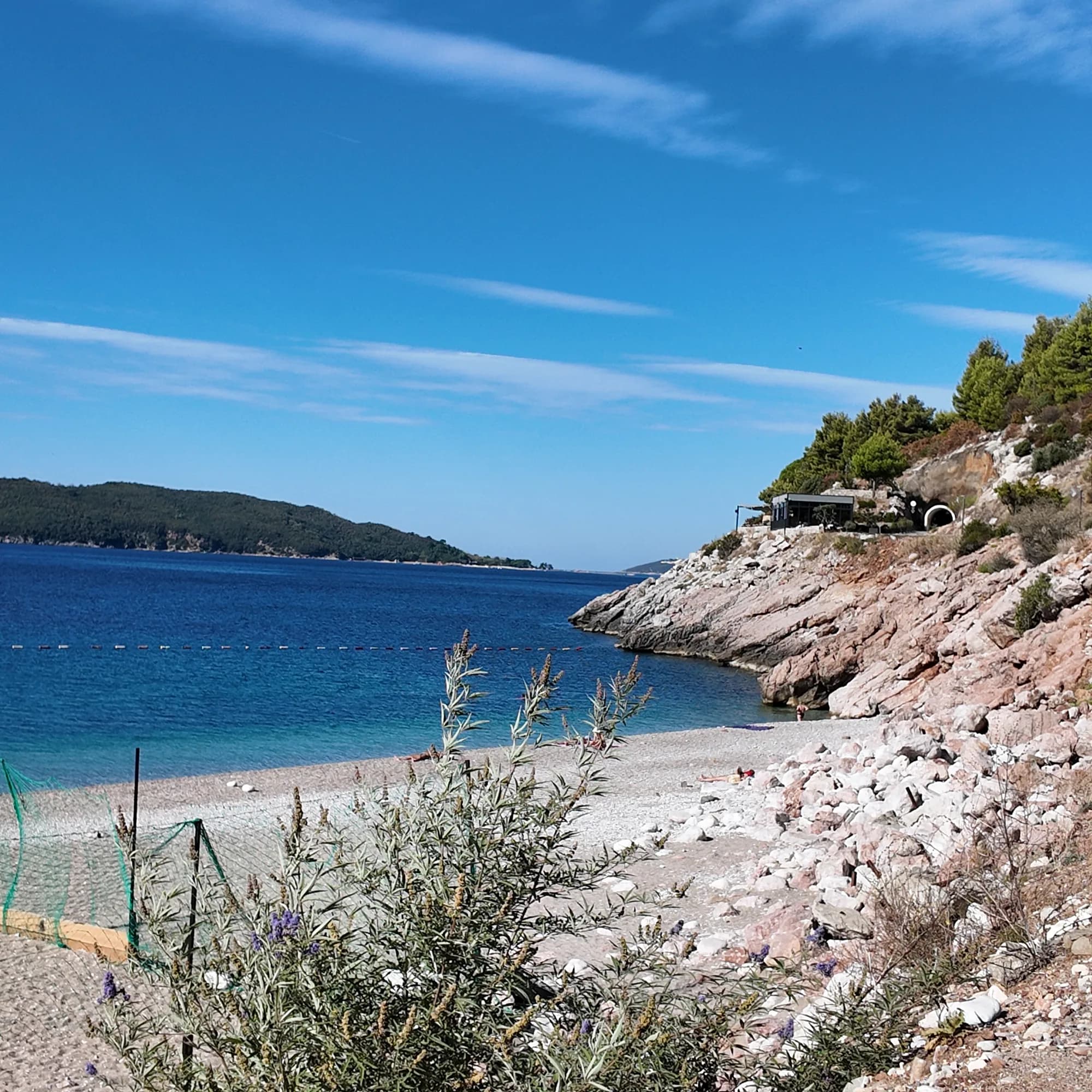
Foto a grandezza piena
Rocky cove at Kamenovo — original JPEG with EXIF
3072 × 3072 · JPEG · 7 MB
Scarica il DNG (7 MB)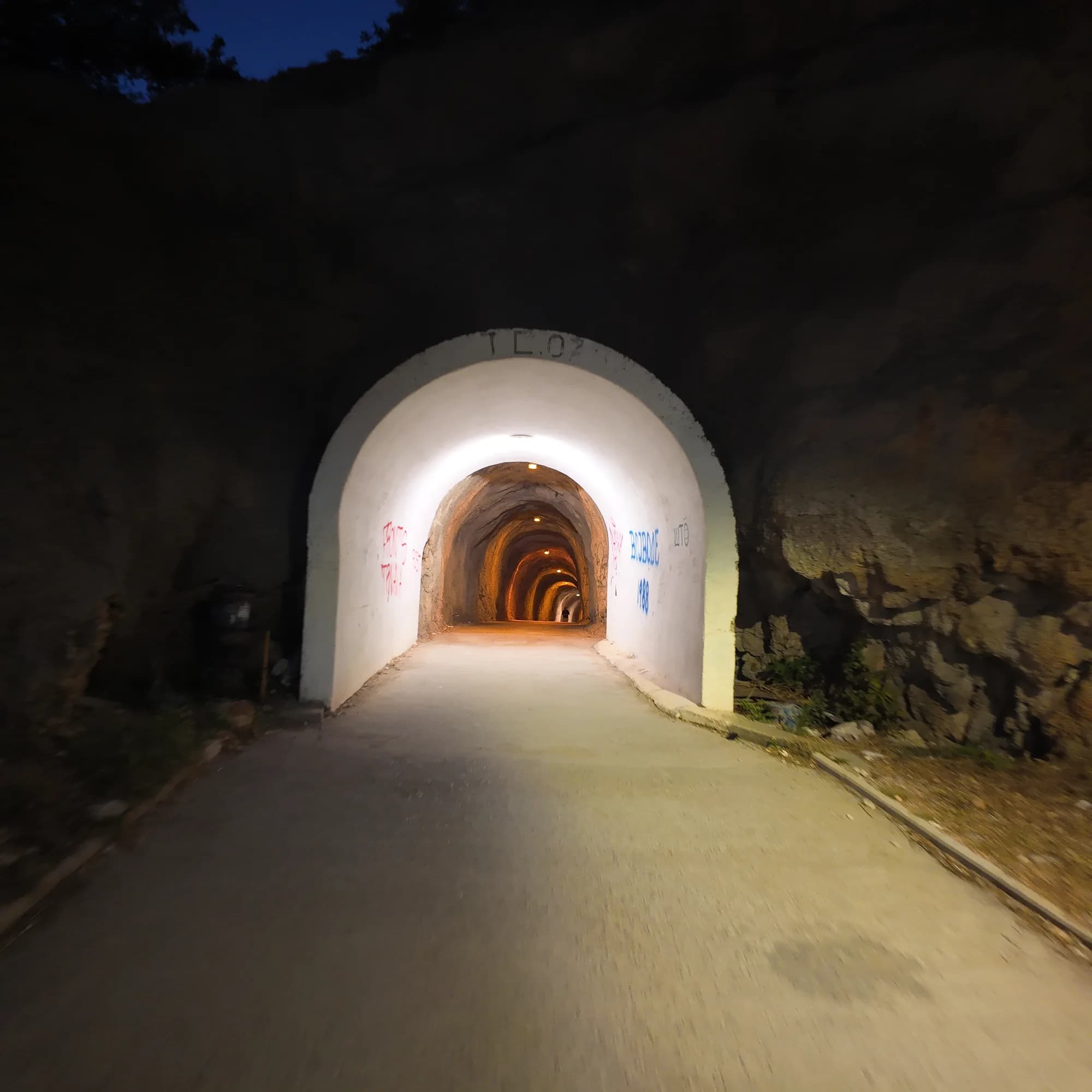
Foto a grandezza piena
Lit tunnel to Kamenovo — original JPEG with EXIF
3072 × 3072 · JPEG · 5 MB
Scarica il DNG (5 MB)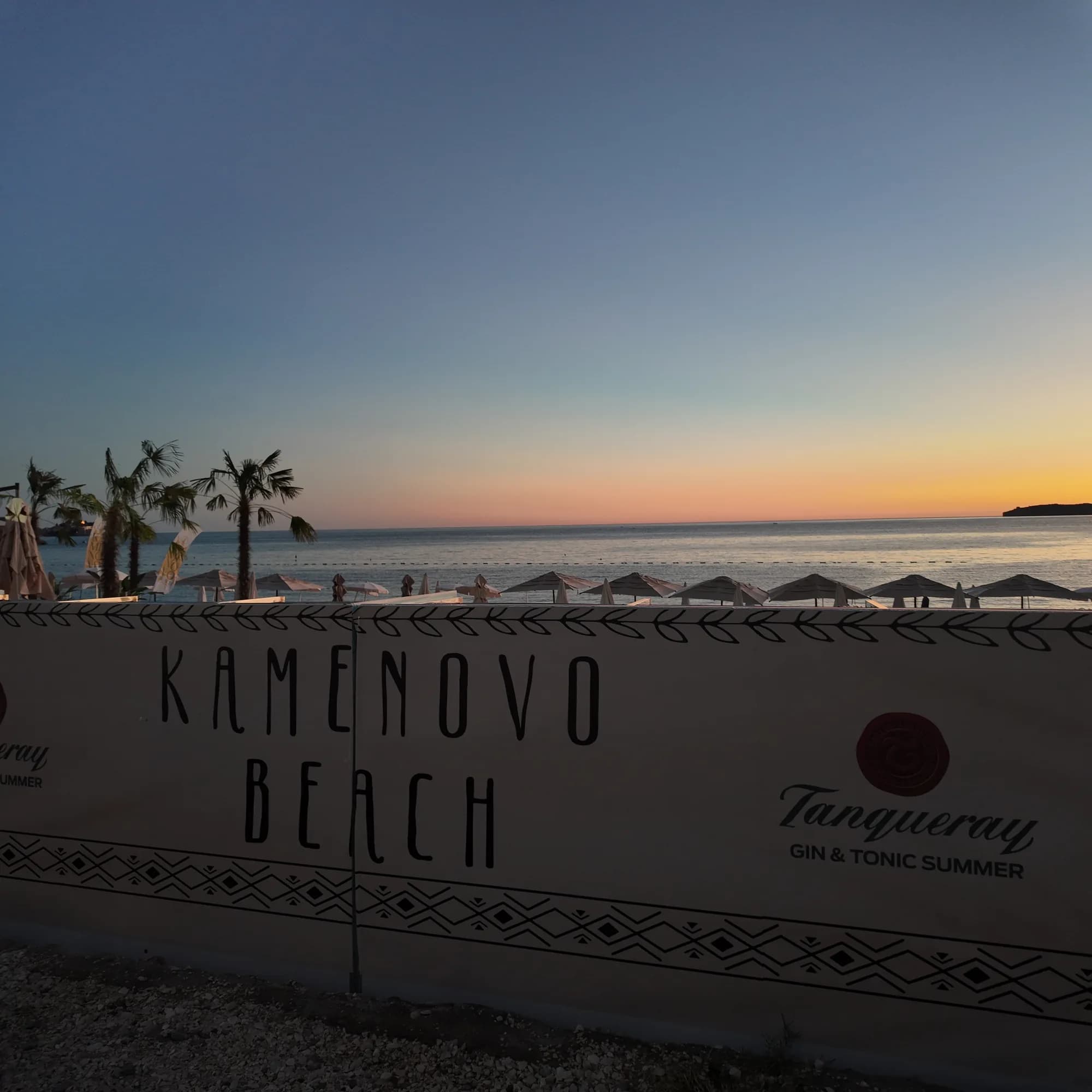
Foto a grandezza piena
Kamenovo Beach sign — original JPEG with EXIF
3072 × 3072 · JPEG · 5 MB
Scarica il DNG (5 MB)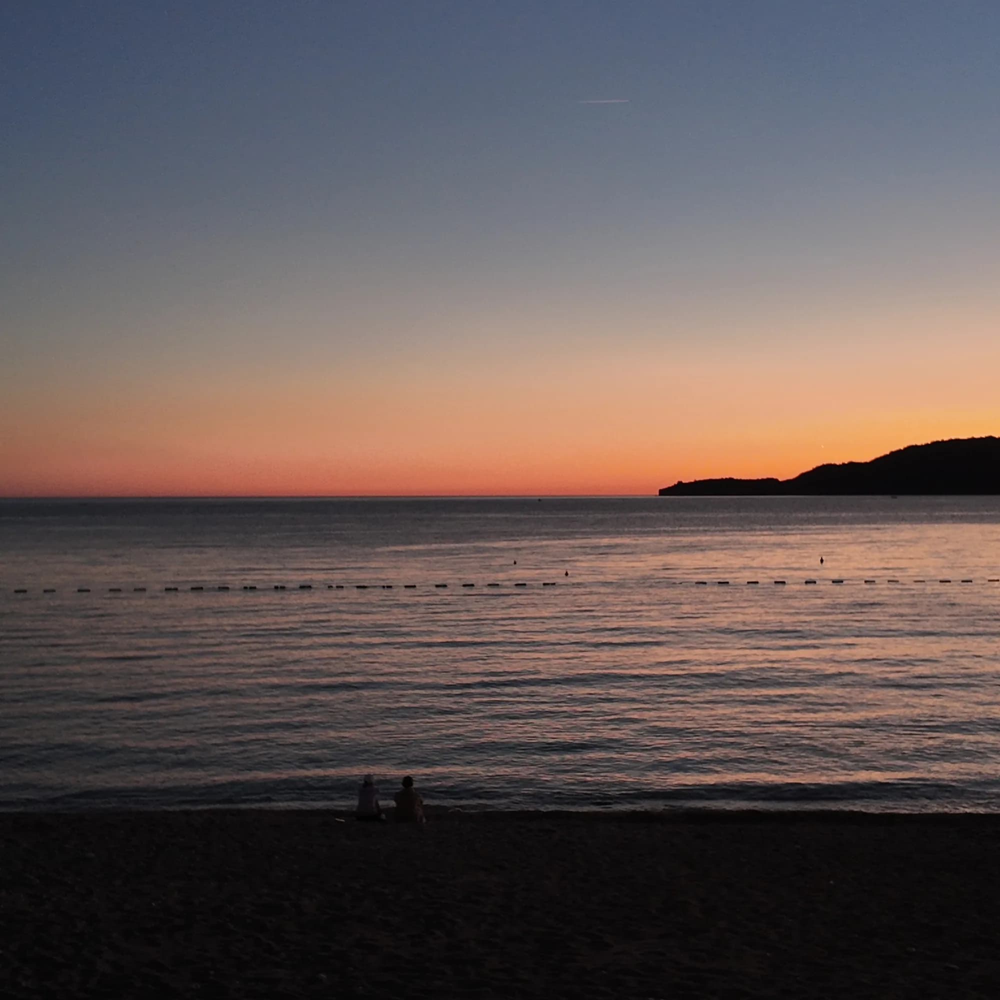
Foto a grandezza piena
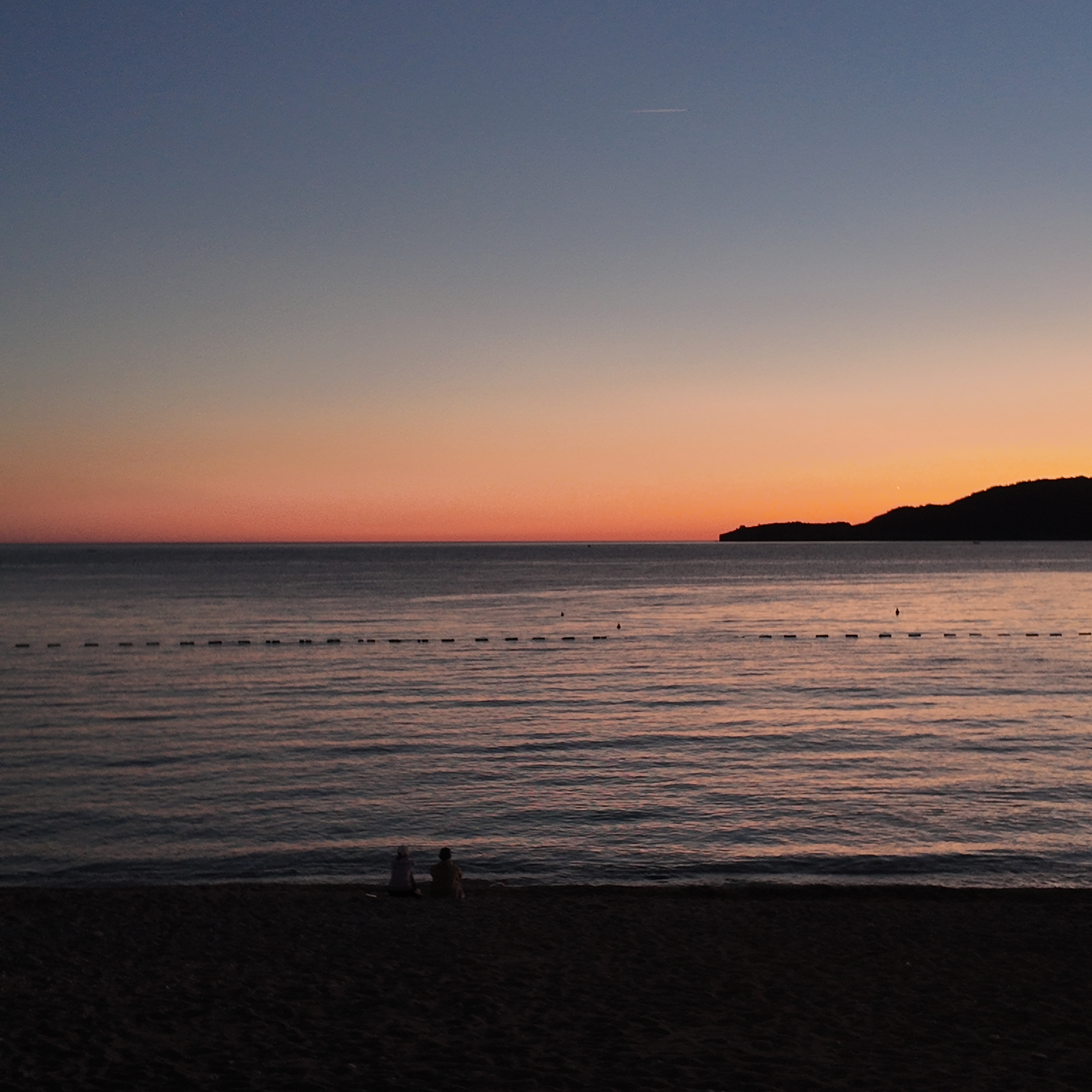
Sunset from Kamenovo beach — original JPEG with EXIF
3072 × 3072 · JPEG · 4 MB
Scarica il DNG (4 MB)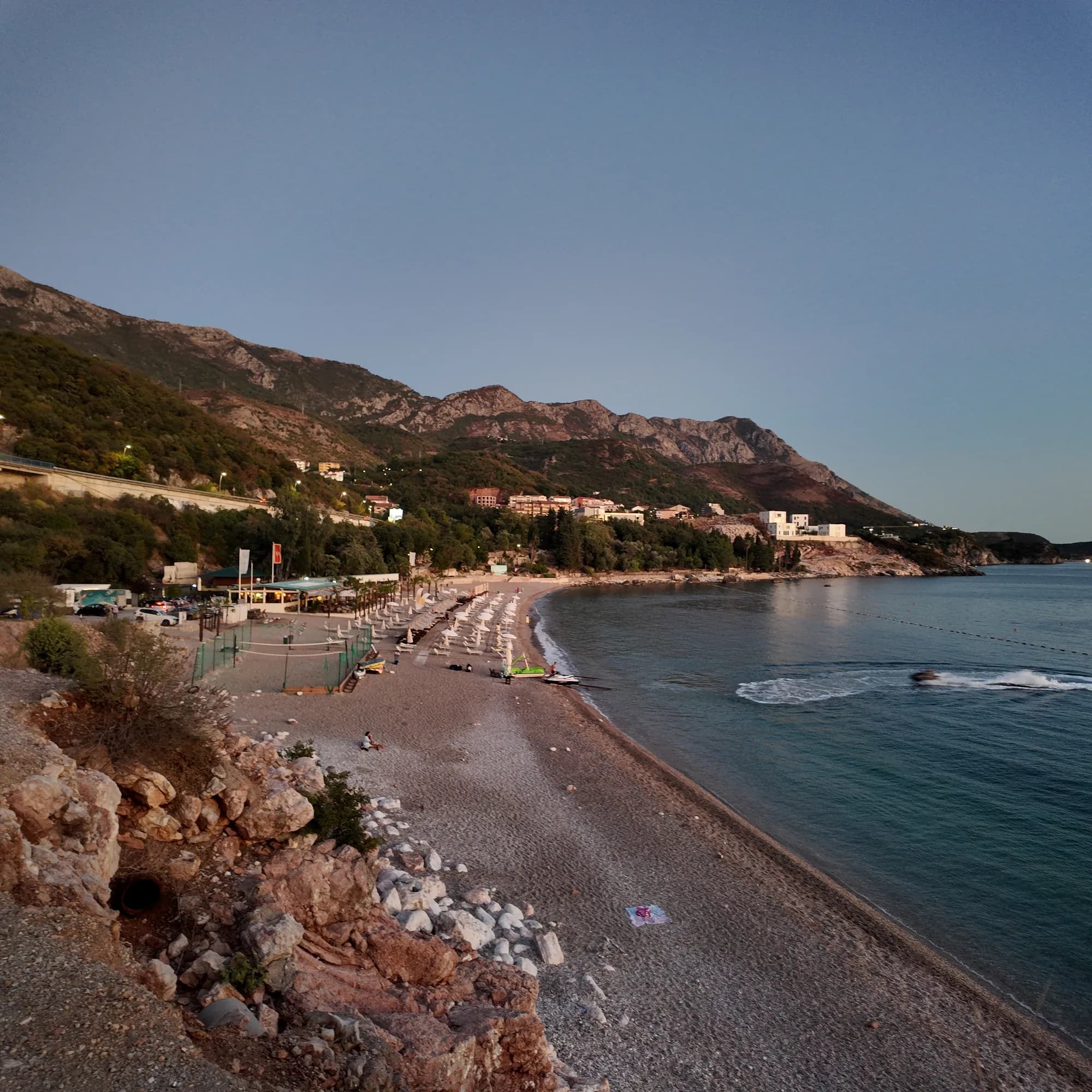
Foto a grandezza piena
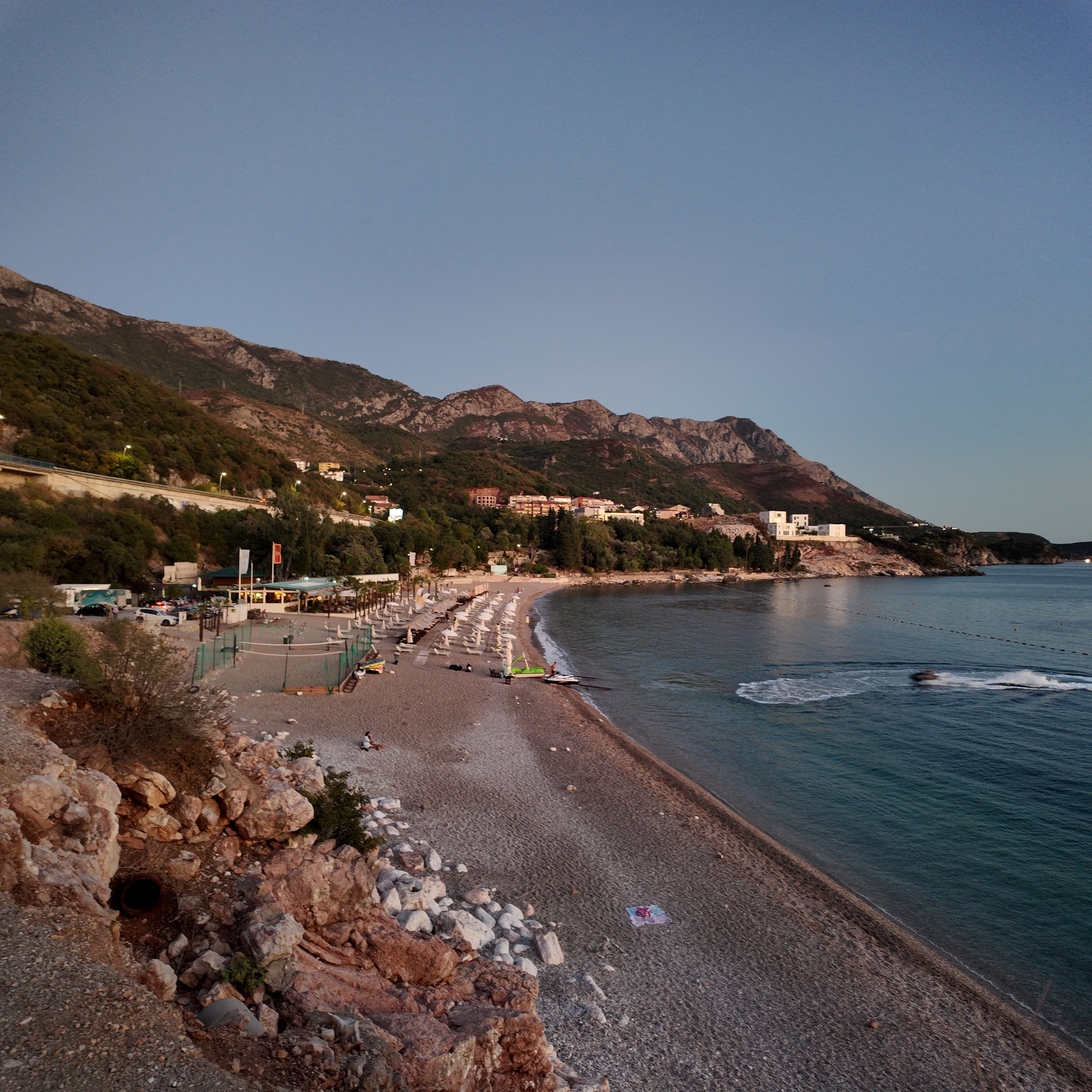
Kamenovo beach and hills — original JPEG with EXIF
3072 × 3072 · JPEG · 7 MB
Scarica il DNG (7 MB)Registrazione, fotografia e video originali di Montenegro.com, con licenza CC BY 4.0: liberi da condividere e adattare citando Montenegro.com. Uso commerciale? Citate Montenegro.com e inserite un link a questa pagina.
Mappa
L’area ombreggiata è la zona di balneazione ufficiale della stazione Kamenovo: il tratto che JP Morsko dobro campiona davvero, non il contorno della spiaggia.
Come arrivare
4.2 km
Budva
19 km
Kotor
20 km
Tivat airport
Distanze in linea d'aria — le strade del Montenegro sono strade di montagna, quindi il viaggio è più lungo.
- Sulla passeggiata Le Sette BaieTappa: kamenovo
- In autobusBudva–Petrovac and Budva–Sveti Stefan (stop on the highway above the bay)
- In autoParking is limited and tariffs change; in July and August come by bus, taxi or on foot
- 10 min a piedicon gradini — From the Rafailovići mooring along the concrete path and through the lit tunnel
Oggi a Kamenovo
L’orientamento è calcolato dalla linea di costa di OpenStreetMap, quindi «verso la spiaggia» e «da terra» riguardano questa riva, non la regione. Previsioni di Open-Meteo
Acqua e riconoscimenti
Eccellente
Ultimo campione ufficiale 29 settembre 2026: Eccellente
Mare a 21.5 °C al momento del prelievo
10 campioni eccellenti su 10 nella stagione 2026
Risultato ufficiale di JP Morsko dobro, stazione Kamenovo
Sette campioni ufficiali nel 2026, sette "Eccellente"
- Blue Flag 2024 — both sectors, 17A and 17B La SuerteAn annual award; the operator’s “since 2016” is its own claim — read the flag on the day
- 7 of 7 samples Excellent, 26 May – 18 Aug 2026
Da sapere prima di fare il bagno
- Il sentiero costiero da Rafailovići corre sotto una scogliera: caduta di rocce e roccia bagnata dopo la pioggia — torna indietro se le barriere sono chiuse
- L'attraversamento della strada adriatica alla fermata dell'autobus, dove la visibilità è scarsa
- Un corridoio per le barche è segnalato da boe — resta all'interno della zona di balneazione
Quando l'acqua è calda
Kamenovo ha toccato il massimo, 28.0 °C, il 1 settembre 2026, e il minimo, 19.4 °C, il 26 maggio 2026. Ogni punto è un campionamento reale con la temperatura rilevata sul posto, non una media mensile copiata altrove.
Vedi tutti i 10 campionamenti
| Campionato | Mare | Esito |
|---|---|---|
| 29 settembre 2026 | 21.5 °C | Eccellente |
| 15 settembre 2026 | 24.8 °C | Eccellente |
| 1 settembre 2026 | 28.0 °C | Eccellente |
| 18 agosto 2026 | 26.1 °C | Eccellente |
| 4 agosto 2026 | 25.5 °C | Eccellente |
| 21 luglio 2026 | 24.8 °C | Eccellente |
| 7 luglio 2026 | 21.5 °C | Eccellente |
| 23 giugno 2026 | 22.8 °C | Eccellente |
| 9 giugno 2026 | 23.7 °C | Eccellente |
| 26 maggio 2026 | 19.4 °C | Eccellente |
Stagione per stagione
Kamenovo è stata campionata 69 volte dal 2020: 64 di quelle letture eccellenti, 5 sotto.
Quanto si è scaldata l'acqua, stagione per stagione. La media riguarda solo i campionamenti di luglio e agosto: una finestra fissa, così un anno in cui gli ispettori sono passati presto non risulta freddo.
Una manciata di stagioni è un archivio, non una tendenza: quella che si vede qui è la dispersione normale di poche misure datate, non la prova di un mare che si scalda o si raffredda. Un punto vuoto segna una stagione in cui un campionamento è finito sotto «eccellente».
| Stagione | Campionamenti | Eccellente | Sotto | Media lug.-ago. | Massima |
|---|---|---|---|---|---|
| 2020 | 9 | 7 | 2 | 23.5 °C | 26 °C |
| 2021 | 10 | 9 | 1 | 25.7 °C | 26.9 °C |
| 2022 | 10 | 9 | 1 | 24 °C | 27.1 °C |
| 2023 | 10 | 9 | 1 | 24 °C | 27.9 °C |
| 2024 | 10 | 10 | — | 24.5 °C | 28.3 °C |
| 2025 | 10 | 10 | — | 22.7 °C | 25.6 °C |
| 2026in corso | 10 | 10 | — | 24.5 °C | 28 °C |
In concessione come
Lo Stato affitta questa costa lotto per lotto. Kamenovo è messa a gara in 4 lotti per circa 469 m di riva, ognuno con una categoria ufficiale.
Anche in concessione qui: una piattaforma di ormeggio nell’acqua davanti alla spiaggia.
Tra questi: Spiaggia party.
| Categoria | Lotti | Riva |
|---|---|---|
| Spiaggia party | 2 | 305 m |
| Balneazione per famiglie | 1 | 130 m |
| Balneazione da gita | 1 | 34 m |
Circa 11,941 m² in tutto. Questo è ciò che è in concessione, non ciò che abbiamo visto: il numero di lettini, servizi e docce per lotto è fissato nel contratto firmato, che non viene pubblicato. Bandi di JP Morsko dobro
Spiagge vicine
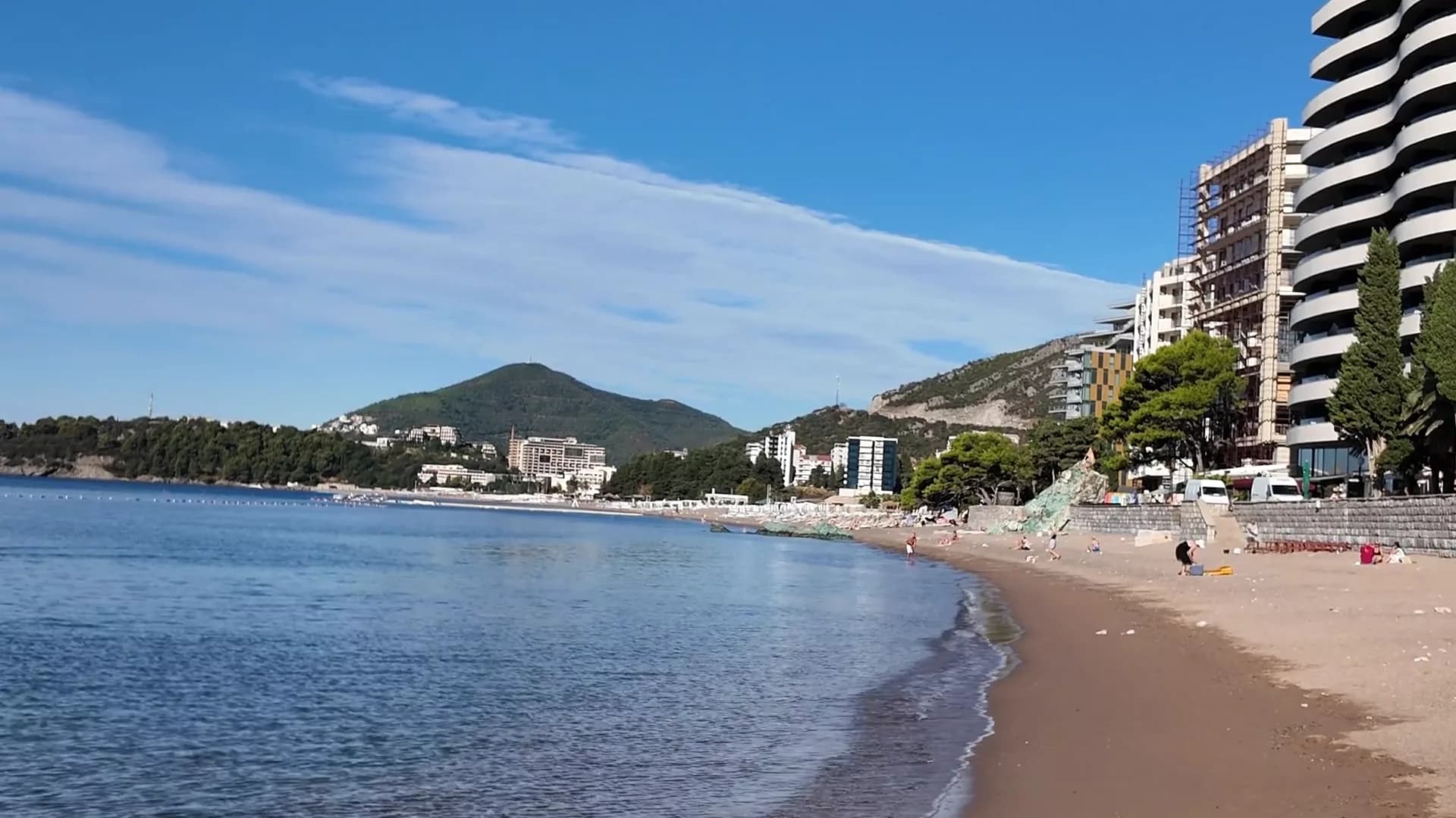
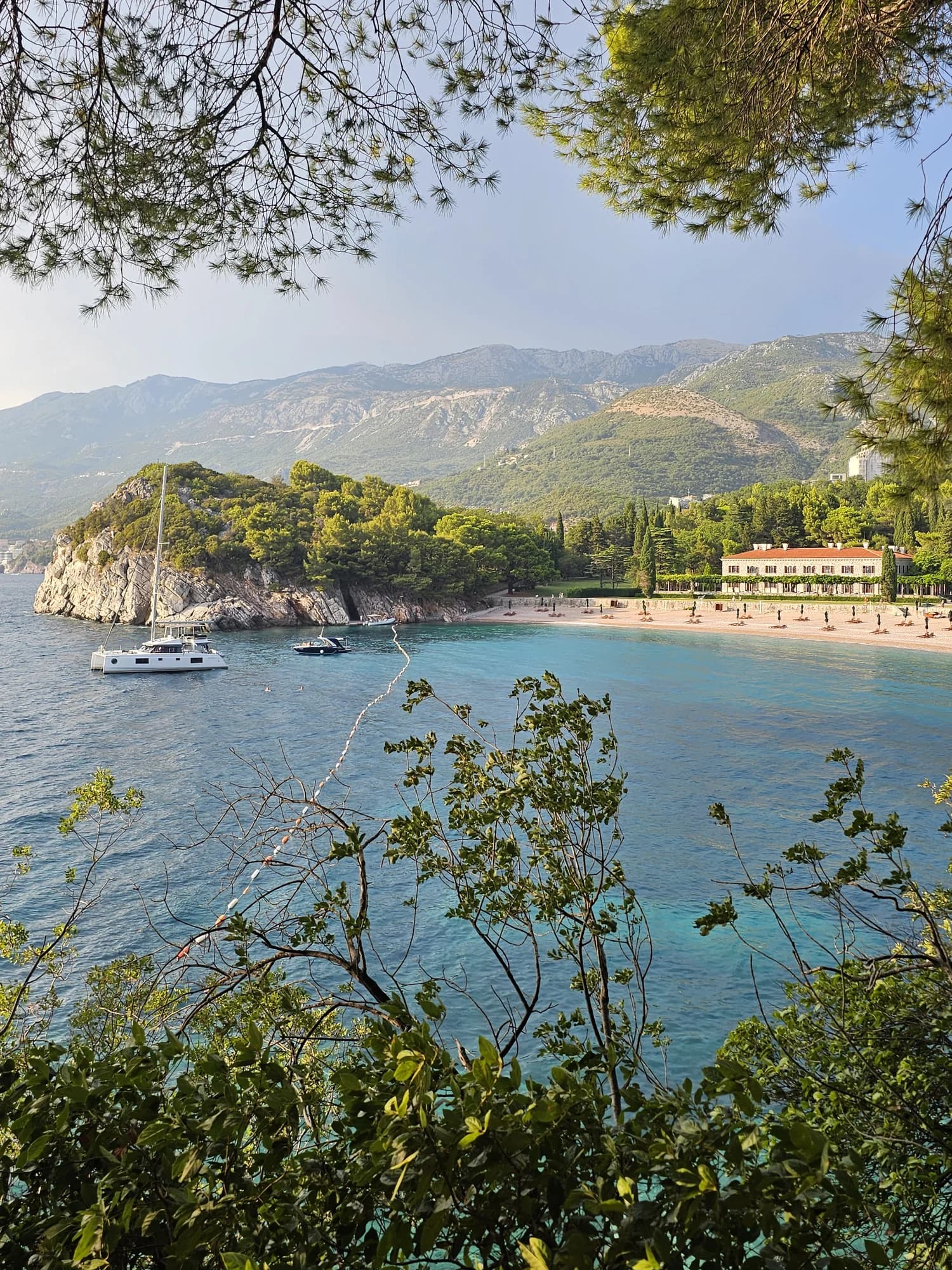
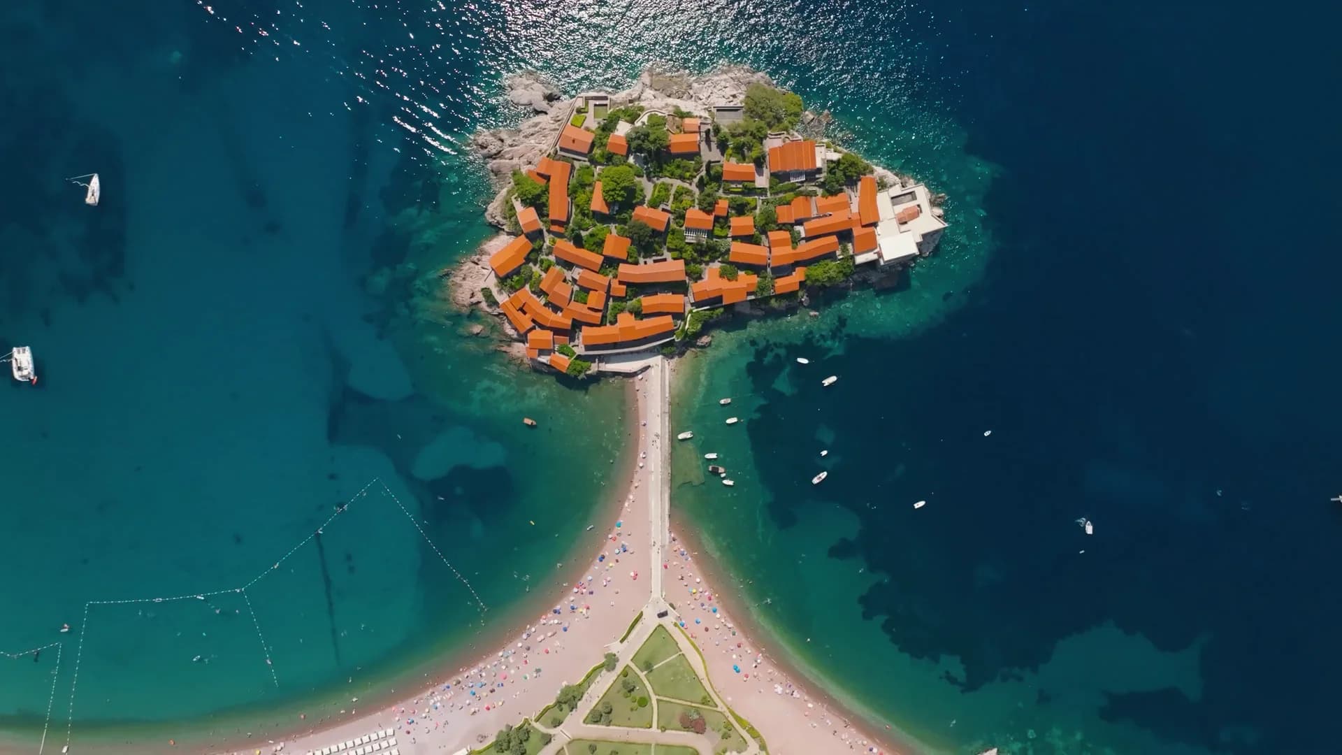
Kamenovo e le spiagge vicine
Le stesse nove misure per le spiagge raggiungibili in giornata. Il grassetto indica una differenza rispetto a questa.
| Misura | Kamenovoquesta spiaggia | 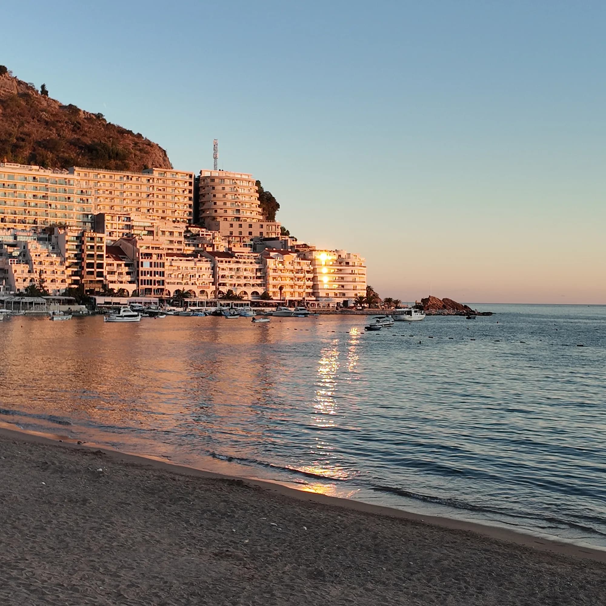 Rafailovići0.6 km Rafailovići0.6 km | 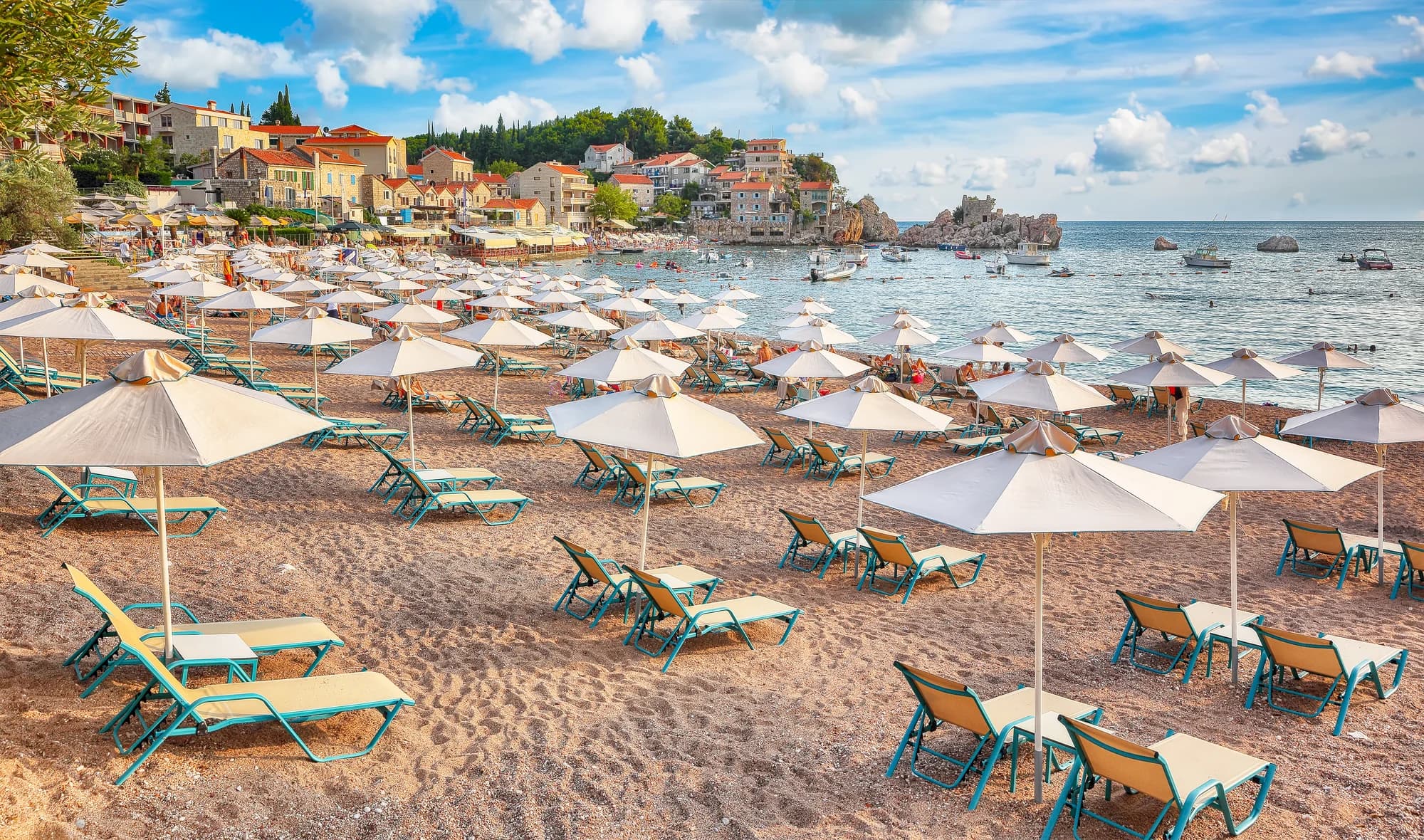 Pržno0.9 km Pržno0.9 km |  Queen's Beach1.4 km Queen's Beach1.4 km |
|---|---|---|---|---|
| Fondo | sabbia e ciottoli fini | sabbia e ciottoli fini | sabbia e ciottoli fini | sabbia e ciottoli fini |
| Ingresso | dolce | dolce | dolce | dolce |
| Profondità | bassa | bassa | bassa | bassa |
| Ombra | ombrelloni a noleggio | ombrelloni a noleggio | ombrelloni a noleggio | alberi e ombrelloni — differisce |
| Carattere | attrezzata | attrezzata | attrezzata | attrezzata |
| Lunghezza | 0.3–0.3 km | 1.9–2 km — differisce | 0.1–0.3 km — differisce | 0.1–0.2 km — differisce |
| Ultimo campione | Eccellente | Eccellente | Eccellente | —nessun punto di campionamento ufficiale — differisce |
| Affollamento | affollata in stagione | affollata in stagione | affollata in stagione | tranquillità — differisce |
| Come arrivare | in auto | in auto | in auto | in auto |
Dove dormire vicino a Kamenovo — Budva, a 4.2 km
Tutti gli alloggi a Budva →


La guida completa
Leggi la guida di Kamenovo
Tutto quanto sopra è la versione breve. La guida contiene le fonti, i codici di settore, le date dei campionamenti e ciò che cambia nel corso di una stagione.
Domande
- Come si arriva a Kamenovo a piedi?
- Dall'approdo di Rafailovići, verso est lungo la costa oltre la roccia stratificata di Capo Đevištenje, poi lungo il sentiero di cemento sotto la scogliera e attraverso la galleria illuminata — circa dieci minuti. Torna indietro se le barriere sono chiuse dopo una pioggia forte.
- Una parte di Kamenovo è gratuita?
- Sì. Entrambi i settori sono spiagge a gestione mista pubblica, quindi metà della lunghezza deve restare libera da attrezzature, con una fascia di tre metri lungo l'acqua e un corridoio d'accesso ogni venti metri. Segui la disposizione segnalata sul momento.
- Kamenovo ha la Bandiera Blu?
- Entrambi i settori, 17A e 17B La Suerte, figurano nella lista ufficiale del 2024. Il riconoscimento è annuale — controlla la bandiera in spiaggia o la mappa internazionale per la stagione in corso.
Fonti
- Government of Montenegro planning assessment for the Kamenovo bay (wapi.gov.me)
- Morsko Dobro — Budva register of bathing areas, public calls and the bathing-water monitor
- Official Blue Flag recipient list 2024
- Budva Tourism (budva.travel) — local bus routes
- OpenStreetMap — beach way 56213868, tunnel way 113573070