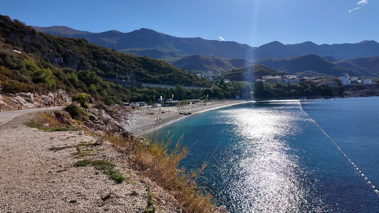
Kamenovo
Ein 340 Meter langer Bogen aus Sand und feinem Kies, erreichbar durch einen Tunnel im Fels, mit den saubersten offiziellen Wasserwerten der Riviera.
Unser Urteil
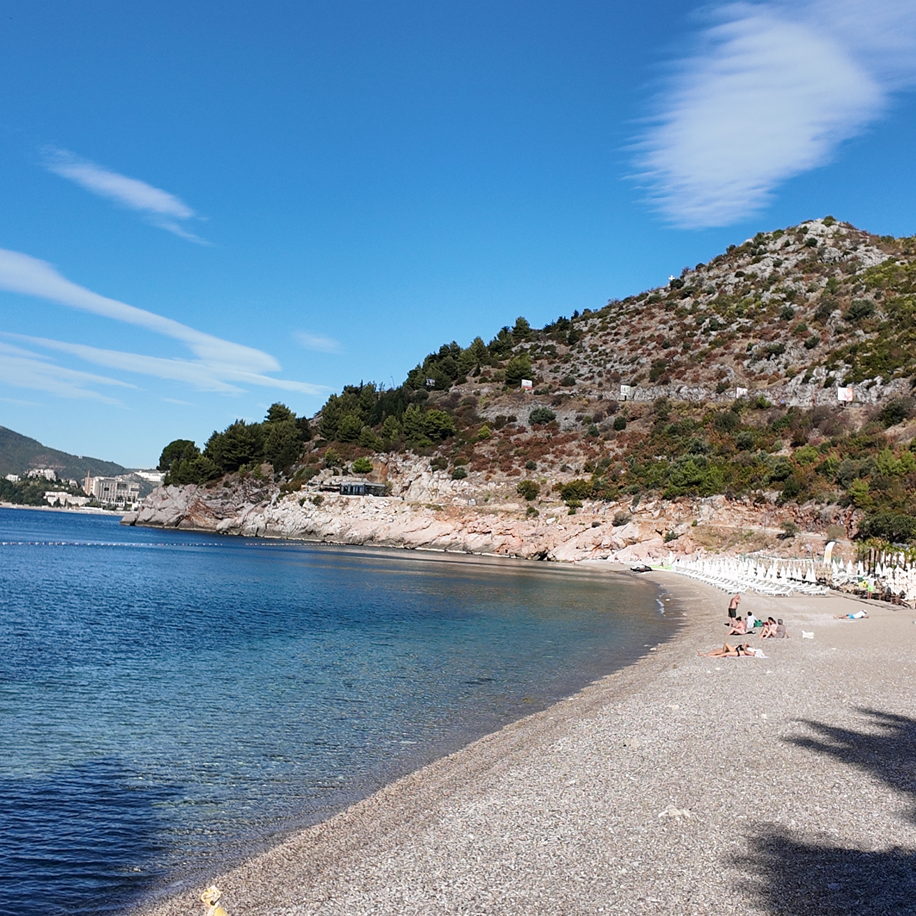
Kamenovo ist die Bucht, in die sich die Budva-Riviera verwandelt, sobald der Strand von Bečići endet: gemischter Sand und feiner Kies, ein sanfter Einstieg, mit Bojen abgegrenztes Wasser, das bei jeder Probe 2026 mit ausgezeichnet bewertet wurde, und freie Blicke Richtung Sveti Stefan. Es ist ein bewirtschafteter Strand, keine geheime Bucht, und das kommt ihm zugute — zwei Konzessionen, eine Bar unter den Palmen und die Regeln für öffentliche Strände, die die Hälfte der Länge frei von Mobiliar halten.
- Schwimmen
- Familien
- Wanderer
- Sonnenuntergang
Kamenovo in Fakten
Das Ufer
Ausstattung
Anfahrt
Regeln und Charakter
Fakten geprüft am 28. September 2026 · Länge: State planning assessment (wapi.gov.me), which gives both figures · 7 weitere Angaben müssen wir vor Ort prüfen
Kamenovo in Bildern
Fotos und Filmaufnahmen von Montenegro.com, frei verwendbar unter CC BY 4.0. Unsere Aufnahmen stammen vom 28. September 2026.
Kamenovo in Bewegung
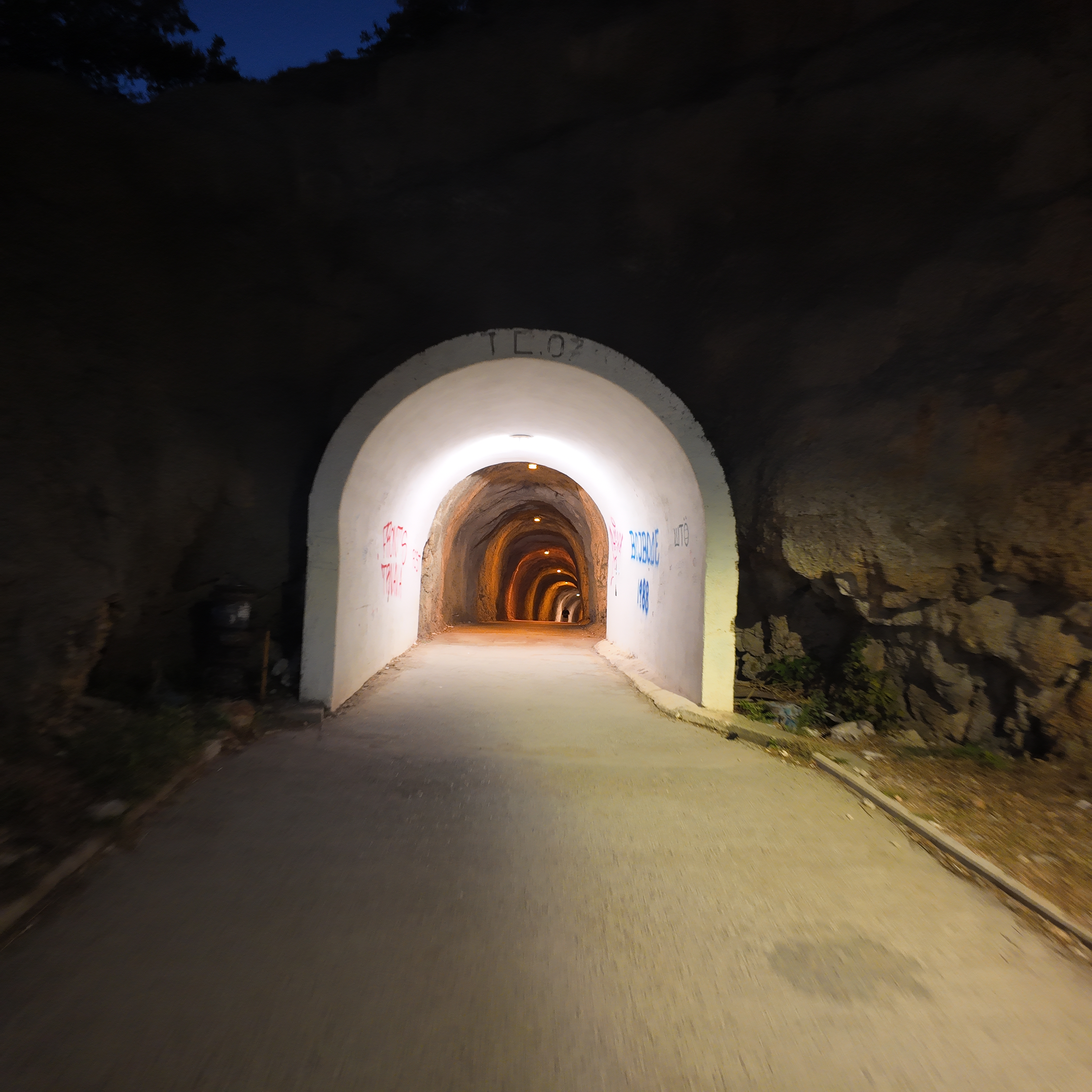
Durch den Tunnel im Fels von Rafailovići aus, das Licht von Kamenovo am anderen Ende
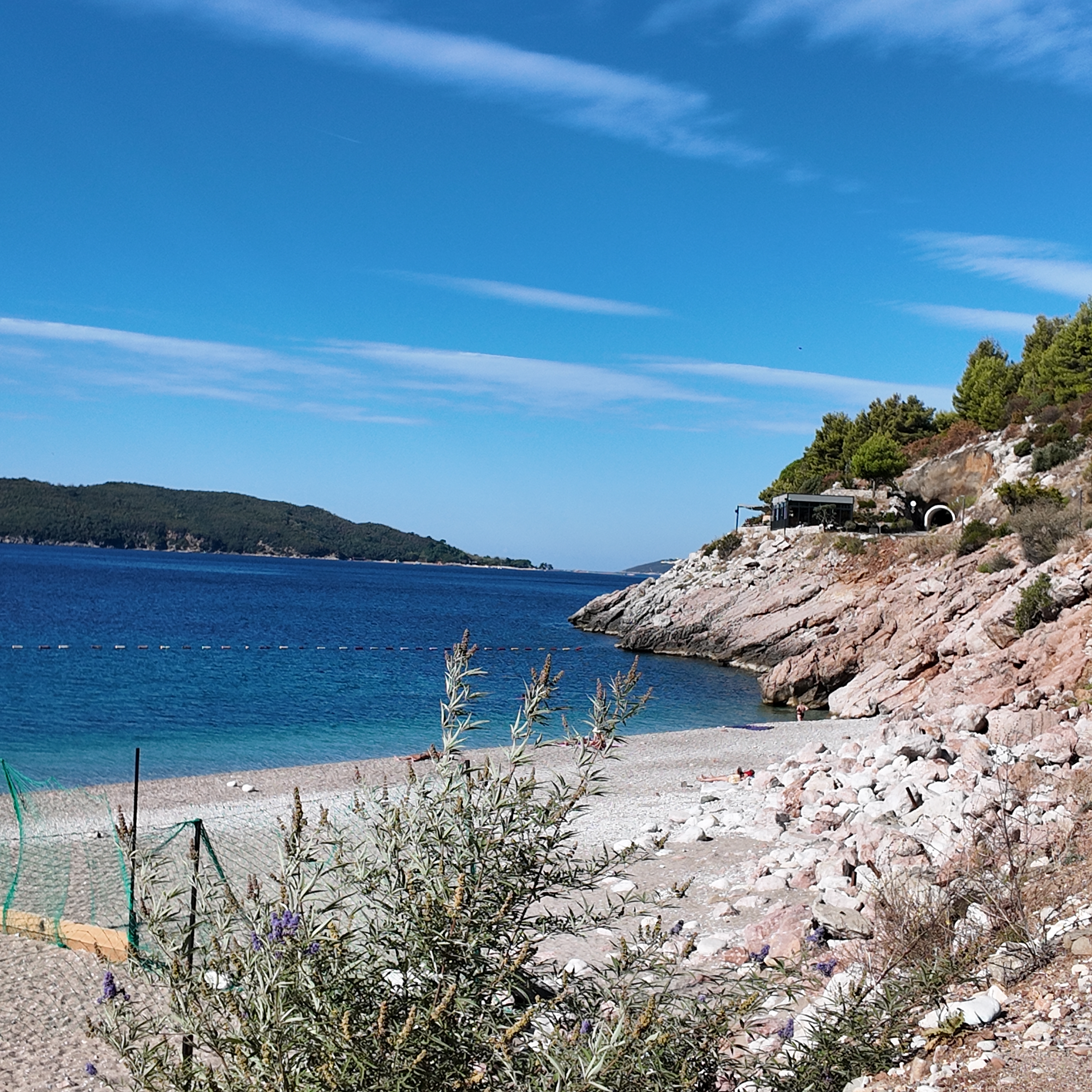
Die felsige Bucht am westlichen Ende von Kamenovo am Morgen
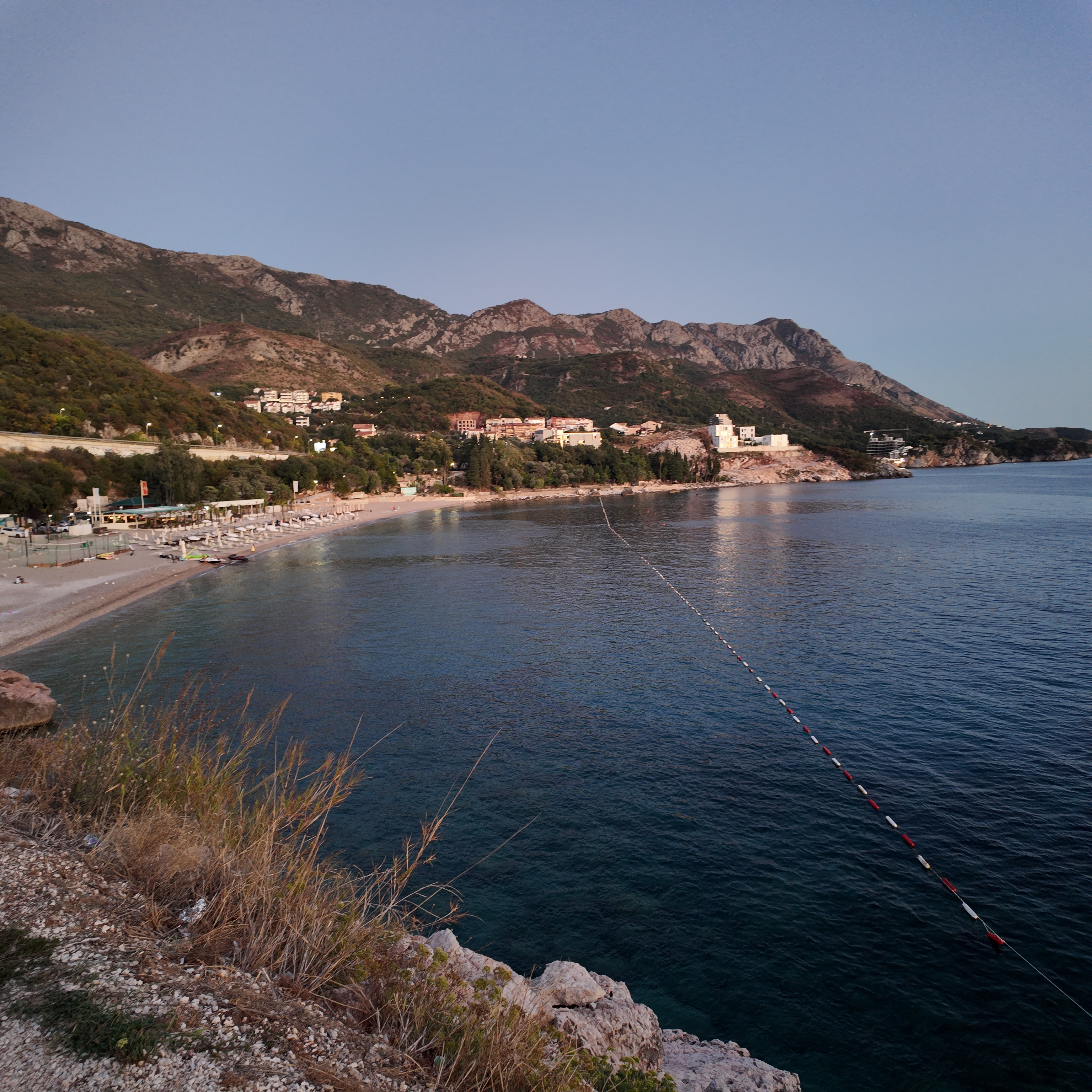
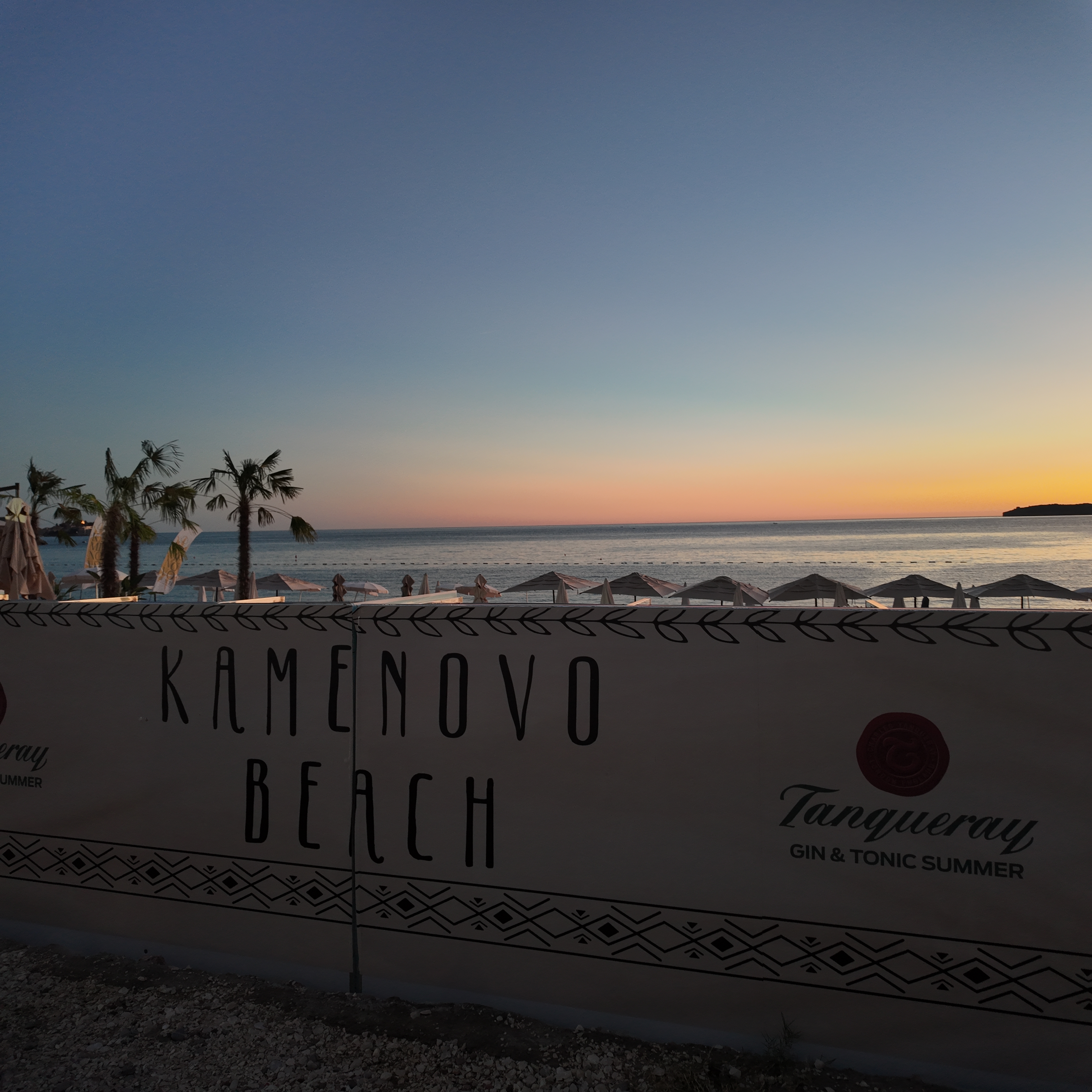
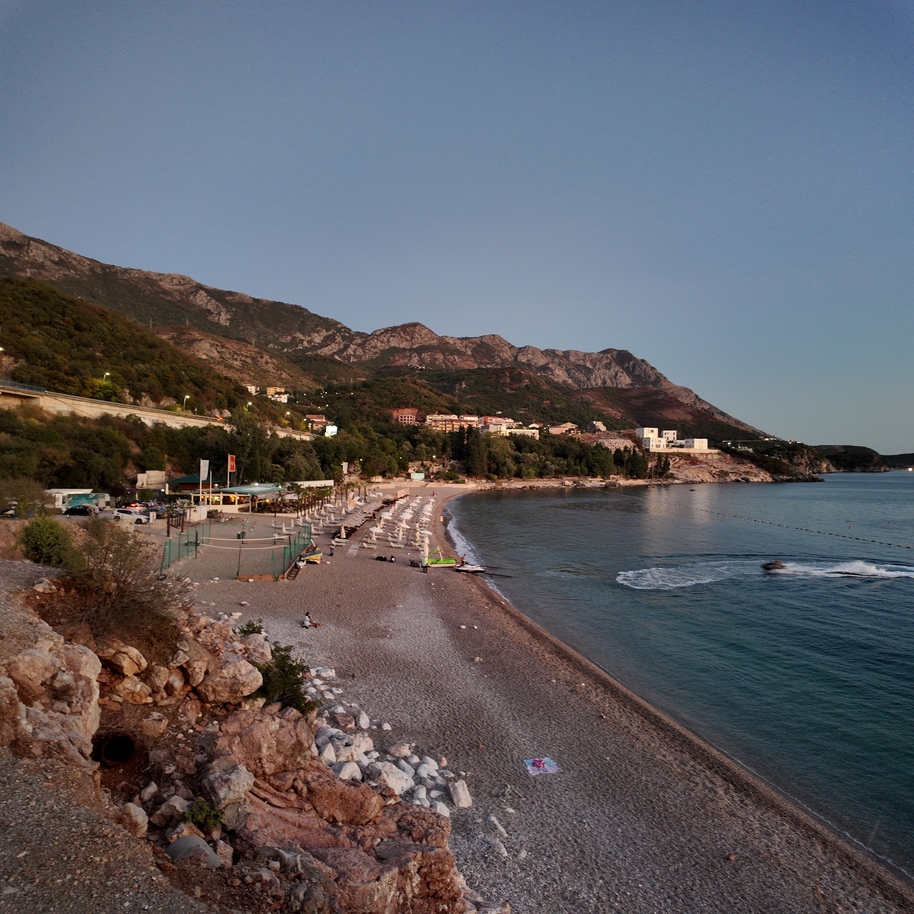
Kamenovo in der Dämmerung, die Lichter von Pržno gehen auf der anderen Seite der Bucht an
Fotos und Filmaufnahmen von Montenegro.com, frei verwendbar unter CC BY 4.0. Unsere Aufnahmen stammen vom 28. September 2026.
Freie Originale · CC BY 4.0
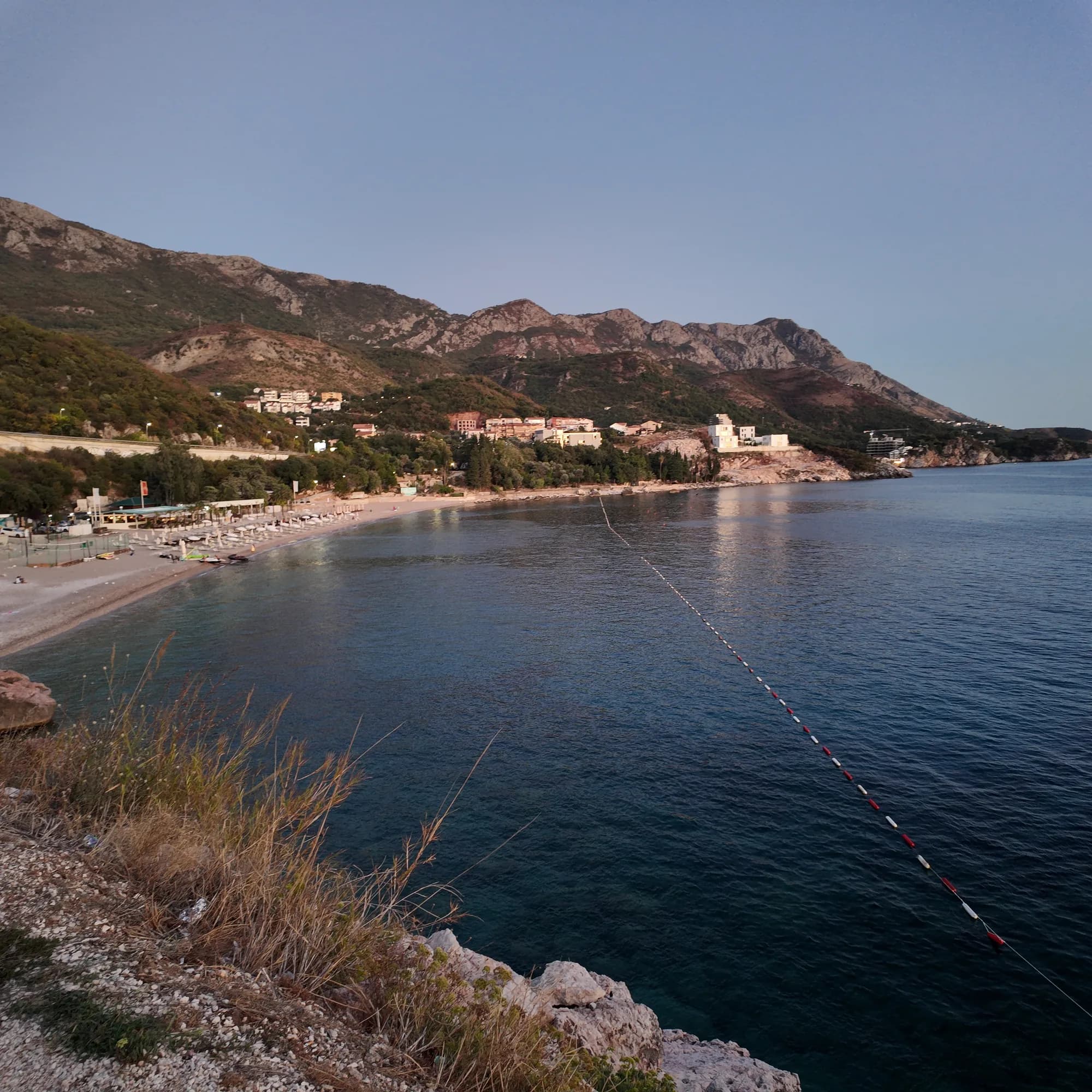
Foto in voller Größe
Kamenovo beach from the coastal path — original JPEG with EXIF
3072 × 3072 · JPEG · 7 MB
DNG herunterladen (7 MB)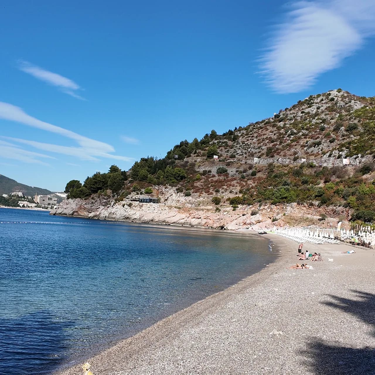
Foto in voller Größe
Kamenovo beach in the morning — original JPEG with EXIF
3072 × 3072 · JPEG · 7 MB
DNG herunterladen (7 MB)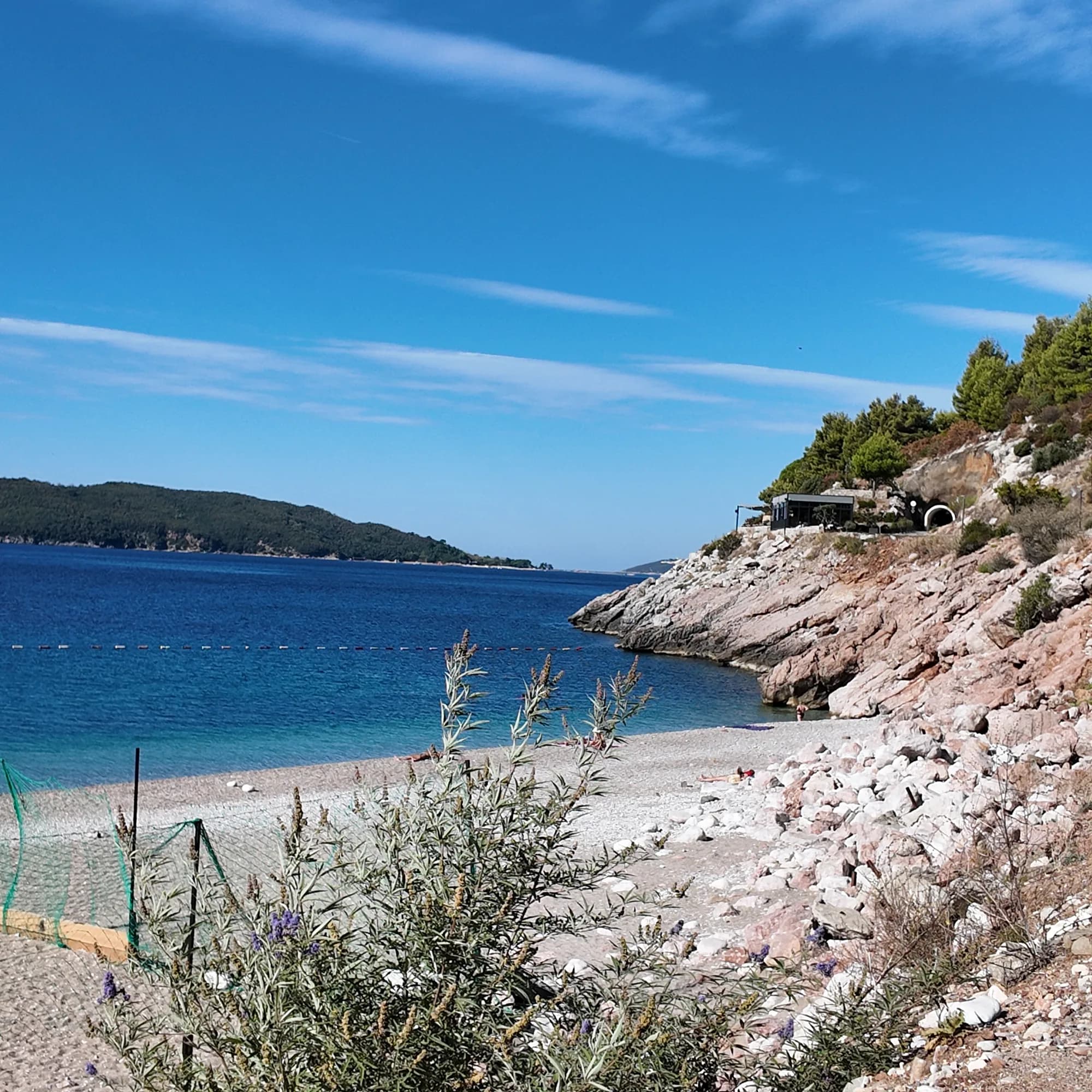
Foto in voller Größe
Rocky cove at Kamenovo — original JPEG with EXIF
3072 × 3072 · JPEG · 7 MB
DNG herunterladen (7 MB)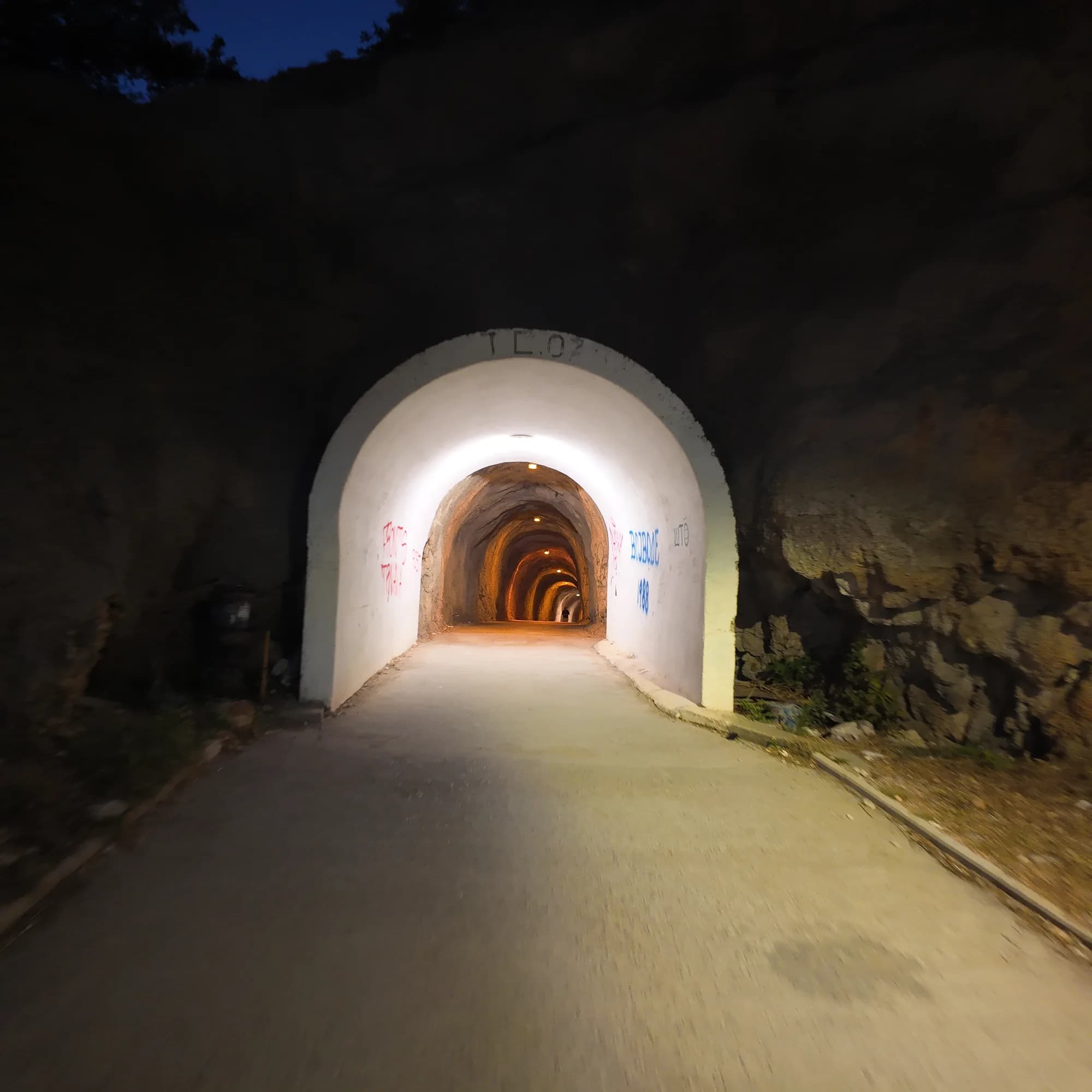
Foto in voller Größe
Lit tunnel to Kamenovo — original JPEG with EXIF
3072 × 3072 · JPEG · 5 MB
DNG herunterladen (5 MB)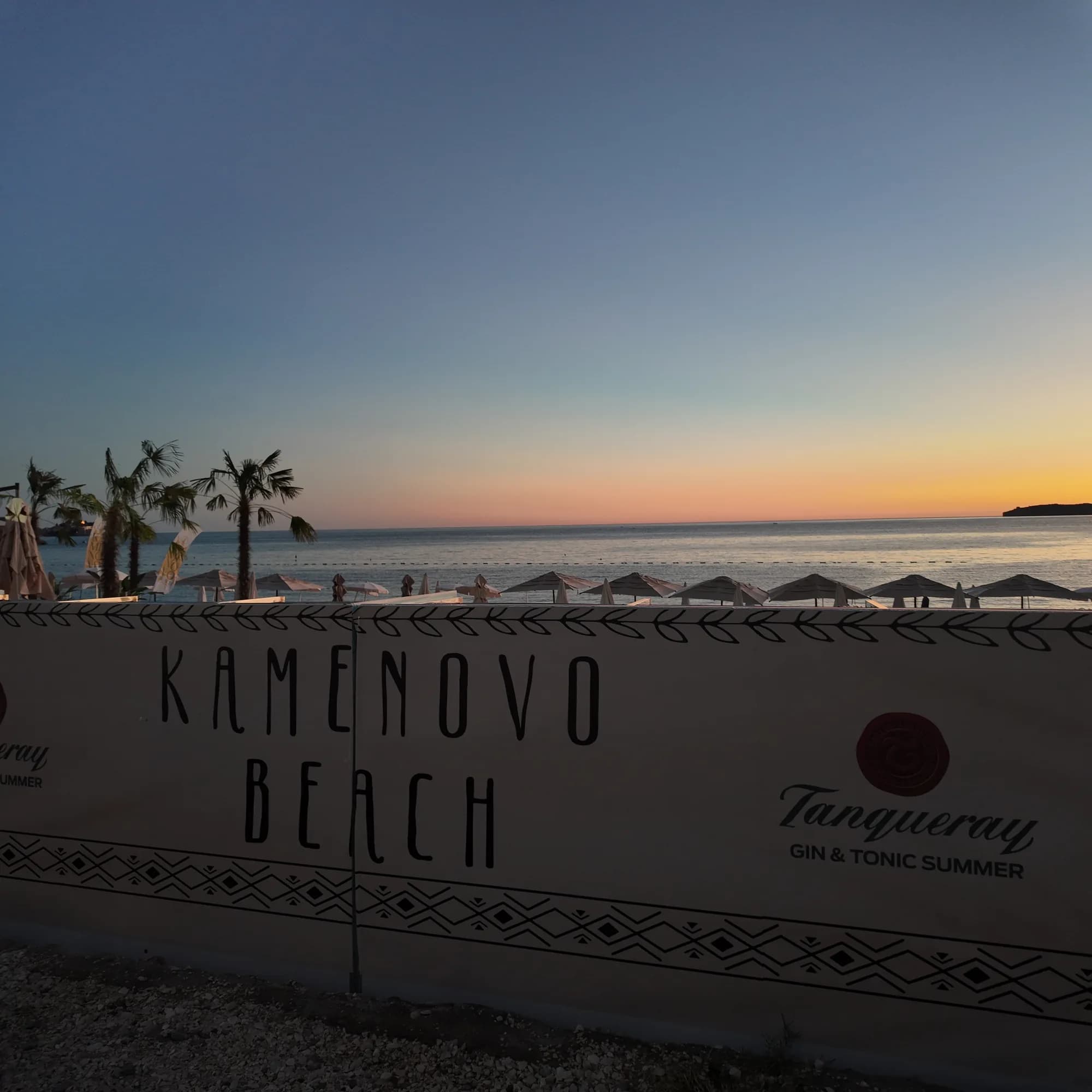
Foto in voller Größe
Kamenovo Beach sign — original JPEG with EXIF
3072 × 3072 · JPEG · 5 MB
DNG herunterladen (5 MB)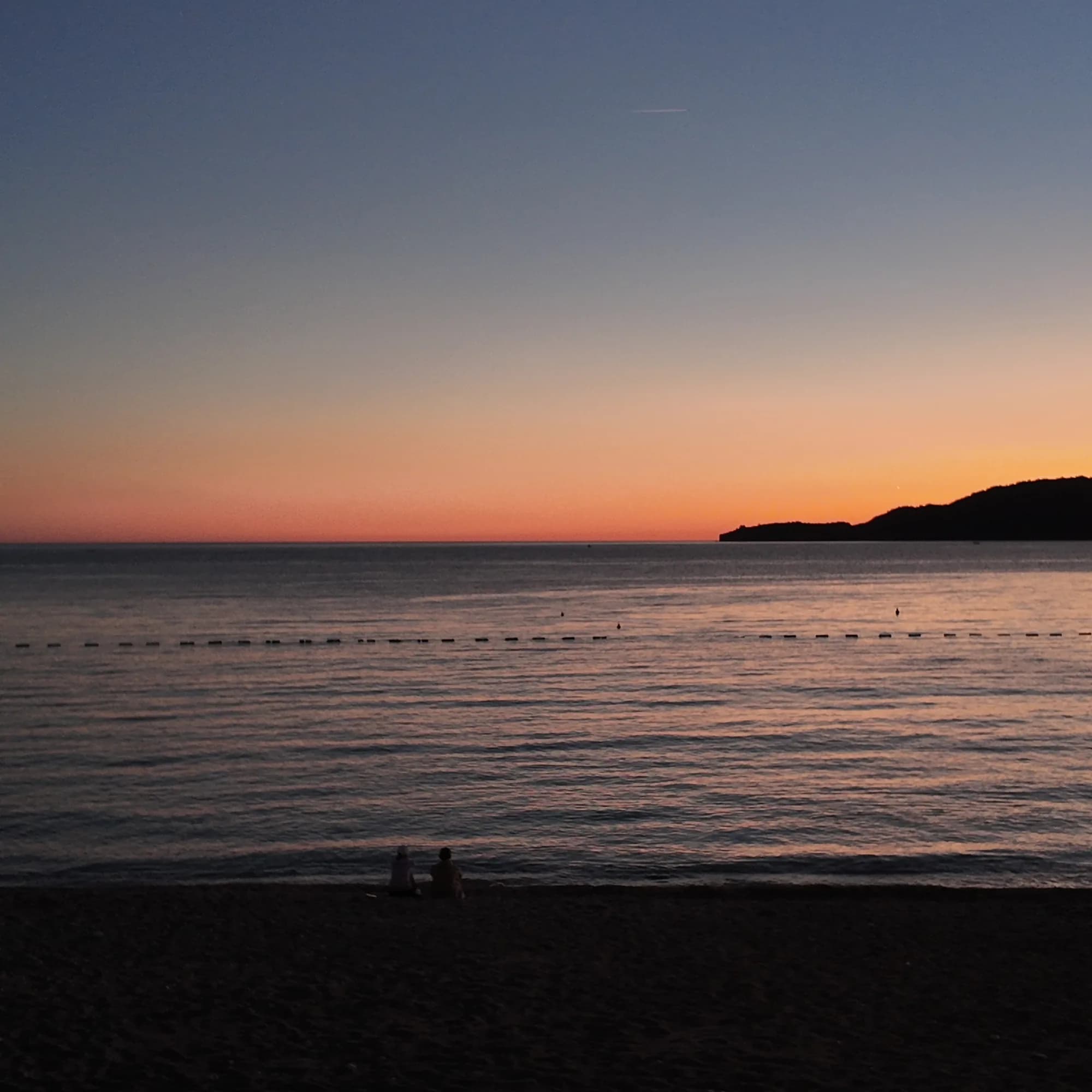
Foto in voller Größe
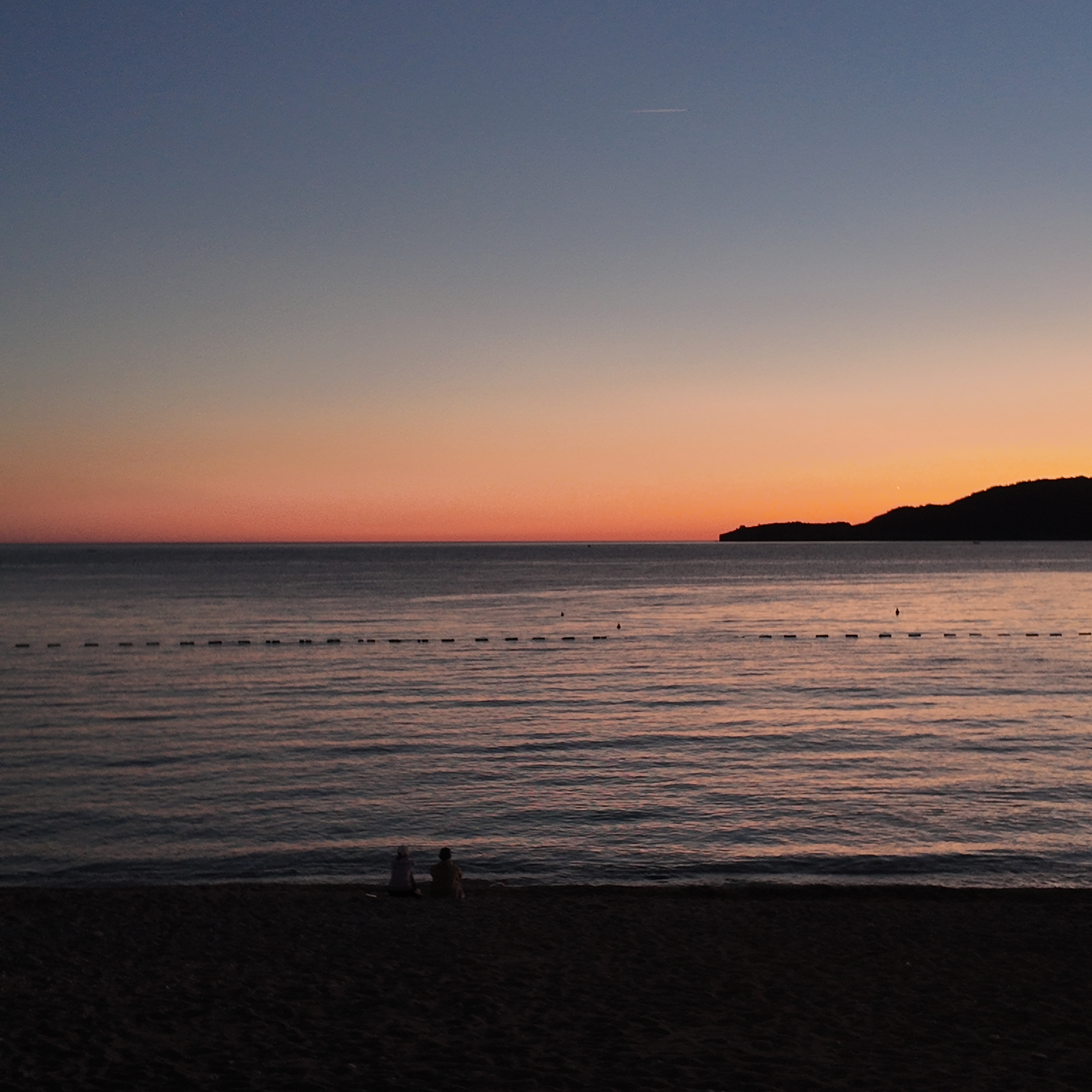
Sunset from Kamenovo beach — original JPEG with EXIF
3072 × 3072 · JPEG · 4 MB
DNG herunterladen (4 MB)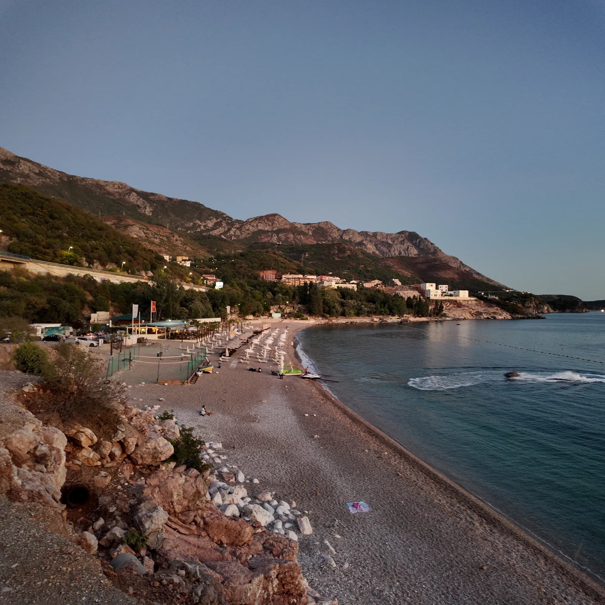
Foto in voller Größe
Kamenovo beach and hills — original JPEG with EXIF
3072 × 3072 · JPEG · 7 MB
DNG herunterladen (7 MB)Originalaufnahme, Foto und Video von Montenegro.com, lizenziert unter CC BY 4.0: frei teilbar und bearbeitbar mit Nennung von Montenegro.com. Kommerzielle Nutzung? Bitte Montenegro.com nennen und auf diese Seite verlinken.
Karte
Die schattierte Fläche ist die amtliche Badezone der Messstelle Kamenovo — der Abschnitt, den JP Morsko dobro tatsächlich beprobt, nicht der Umriss des Strandes.
Anfahrt
4.2 km
Budva
19 km
Kotor
20 km
Tivat airport
Luftlinie — Montenegros Straßen sind Bergstraßen, die Fahrt ist also länger.
- Auf dem Weg Die Sieben BuchtenHalt: kamenovo
- Mit dem BusBudva–Petrovac and Budva–Sveti Stefan (stop on the highway above the bay)
- Mit dem AutoParking is limited and tariffs change; in July and August come by bus, taxi or on foot
- 10 Min. zu Fußmit Stufen — From the Rafailovići mooring along the concrete path and through the lit tunnel
Heute an Kamenovo
Die Ausrichtung ist aus der OpenStreetMap-Küstenlinie berechnet, auflandig und ablandig meinen also dieses Ufer und nicht die Region. Vorhersage von Open-Meteo
Wasser und Auszeichnungen
Ausgezeichnet
Letzte amtliche Probe 29. September 2026: Ausgezeichnet
Wasser 21.5 °C bei der Probenahme
10 von 10 Proben ausgezeichnet in der Saison 2026
Offizielles Ergebnis von JP Morsko dobro, Messstelle Kamenovo
Sieben offizielle Proben 2026, siebenmal „ausgezeichnet“
- Blue Flag 2024 — both sectors, 17A and 17B La SuerteAn annual award; the operator’s “since 2016” is its own claim — read the flag on the day
- 7 of 7 samples Excellent, 26 May – 18 Aug 2026
Vor dem Baden wissen
- Der Küstenweg von Rafailovići verläuft unterhalb einer Klippe: Steinschlag und nasser Fels nach Regen — bei aufgestellten Absperrungen umkehren
- Überqueren der Adria-Fernstraße an der Bushaltestelle mit schlechter Sicht
- Eine Bootsgasse ist mit Bojen markiert — innerhalb der Schwimmzone bleiben
Wann das Wasser warm ist
Kamenovo war am wärmsten mit 28.0 °C am 1. September 2026 und am kältesten mit 19.4 °C am 26. Mai 2026. Jeder Punkt ist eine echte Messfahrt mit vor Ort abgelesener Temperatur, kein anderswo abgeschriebener Monatsmittelwert.
Alle 10 Messungen ansehen
| Gemessen | Wasser | Ergebnis |
|---|---|---|
| 29. September 2026 | 21.5 °C | Ausgezeichnet |
| 15. September 2026 | 24.8 °C | Ausgezeichnet |
| 1. September 2026 | 28.0 °C | Ausgezeichnet |
| 18. August 2026 | 26.1 °C | Ausgezeichnet |
| 4. August 2026 | 25.5 °C | Ausgezeichnet |
| 21. Juli 2026 | 24.8 °C | Ausgezeichnet |
| 7. Juli 2026 | 21.5 °C | Ausgezeichnet |
| 23. Juni 2026 | 22.8 °C | Ausgezeichnet |
| 9. Juni 2026 | 23.7 °C | Ausgezeichnet |
| 26. Mai 2026 | 19.4 °C | Ausgezeichnet |
Offizielles Ergebnis von JP Morsko dobro, Messstelle Kamenovo
Saison für Saison
Kamenovo wurde seit 2020 69 Mal beprobt: davon 64 Messungen „ausgezeichnet", 5 darunter.
Wie warm das Wasser wurde, Saison für Saison. Gemittelt werden nur die Probenahmen im Juli und August — ein festes Zeitfenster, damit ein Jahr, in dem früh gemessen wurde, nicht als kaltes erscheint.
Eine Handvoll Saisons ist eine Aufzeichnung, kein Trend: die Streuung hier zeigt, wie wenige datierte Messungen aussehen, nicht ein wärmer oder kälter werdendes Meer. Ein hohler Punkt steht für eine Saison, in der eine Probenahme unter „ausgezeichnet" lag.
| Saison | Probenahmen | Ausgezeichnet | Darunter | Mittel Jul.–Aug. | Höchstwert |
|---|---|---|---|---|---|
| 2020 | 9 | 7 | 2 | 23.5 °C | 26 °C |
| 2021 | 10 | 9 | 1 | 25.7 °C | 26.9 °C |
| 2022 | 10 | 9 | 1 | 24 °C | 27.1 °C |
| 2023 | 10 | 9 | 1 | 24 °C | 27.9 °C |
| 2024 | 10 | 10 | — | 24.5 °C | 28.3 °C |
| 2025 | 10 | 10 | — | 22.7 °C | 25.6 °C |
| 2026läuft | 10 | 10 | — | 24.5 °C | 28 °C |
Offizielles Ergebnis von JP Morsko dobro, Messstelle Kamenovo
Konzessioniert als
Der Staat verpachtet diese Küste Los für Los. Kamenovo ist in 4 Lose mit rund 469 m Uferlänge ausgeschrieben, jedes mit einer amtlichen Kategorie.
Ebenfalls konzessioniert: eine Anlegeplattform im Wasser vor dem Strand.
Darunter: Partystrand.
| Kategorie | Lose | Ufer |
|---|---|---|
| Partystrand | 2 | 305 m |
| Familienbad | 1 | 130 m |
| Ausflugsbad | 1 | 34 m |
Zusammen etwa 11,941 m². Das ist das Konzessionierte, nicht das Gesehene: Zahl der Liegen, Toiletten und Duschen je Los steht im unterzeichneten Pachtvertrag, der nicht veröffentlicht wird. Ausschreibungen von JP Morsko dobro
Strände in der Nähe
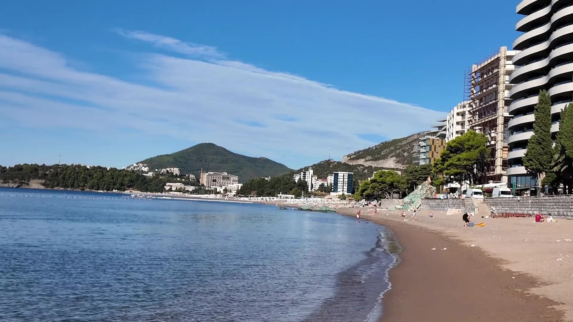
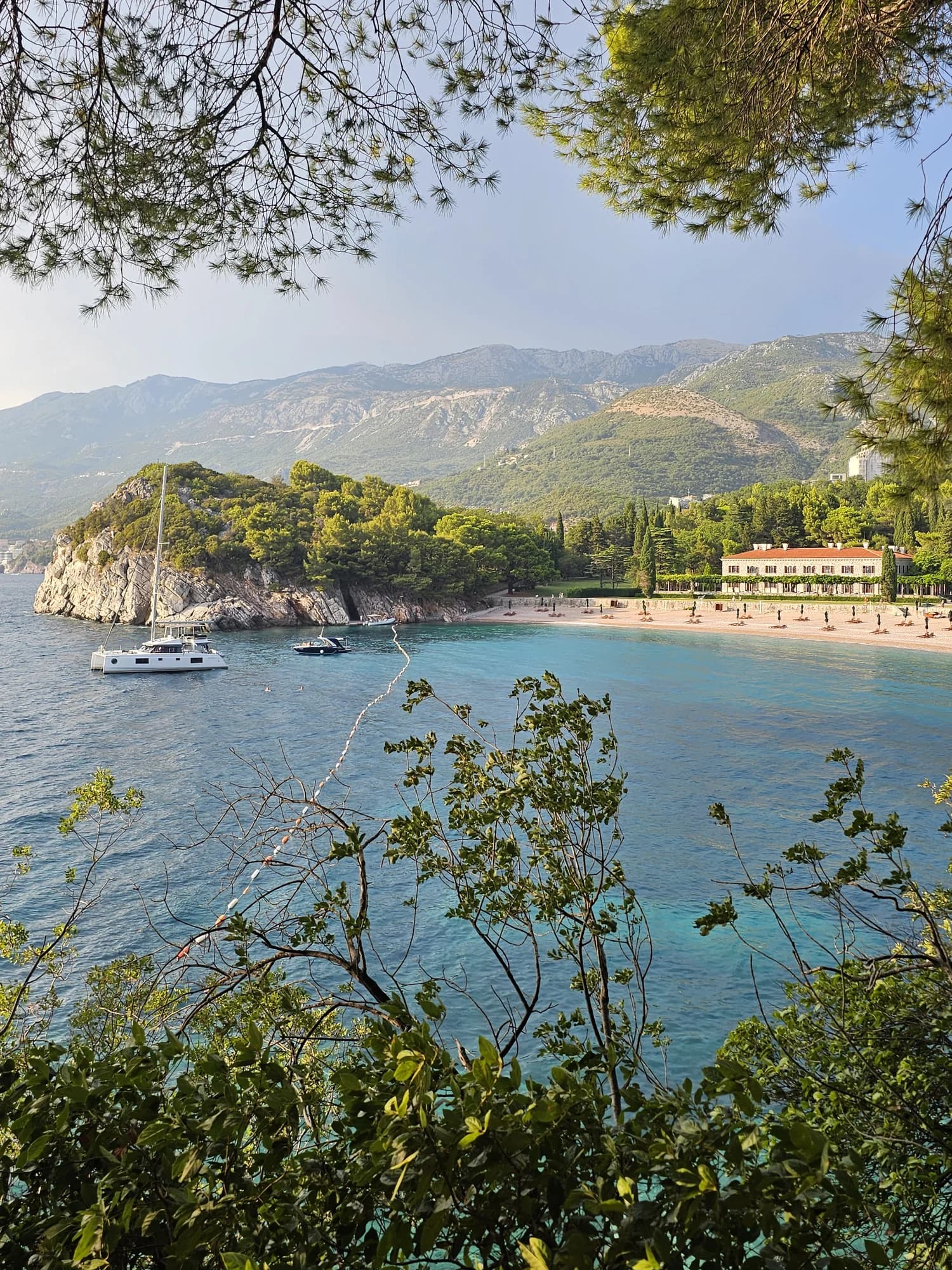
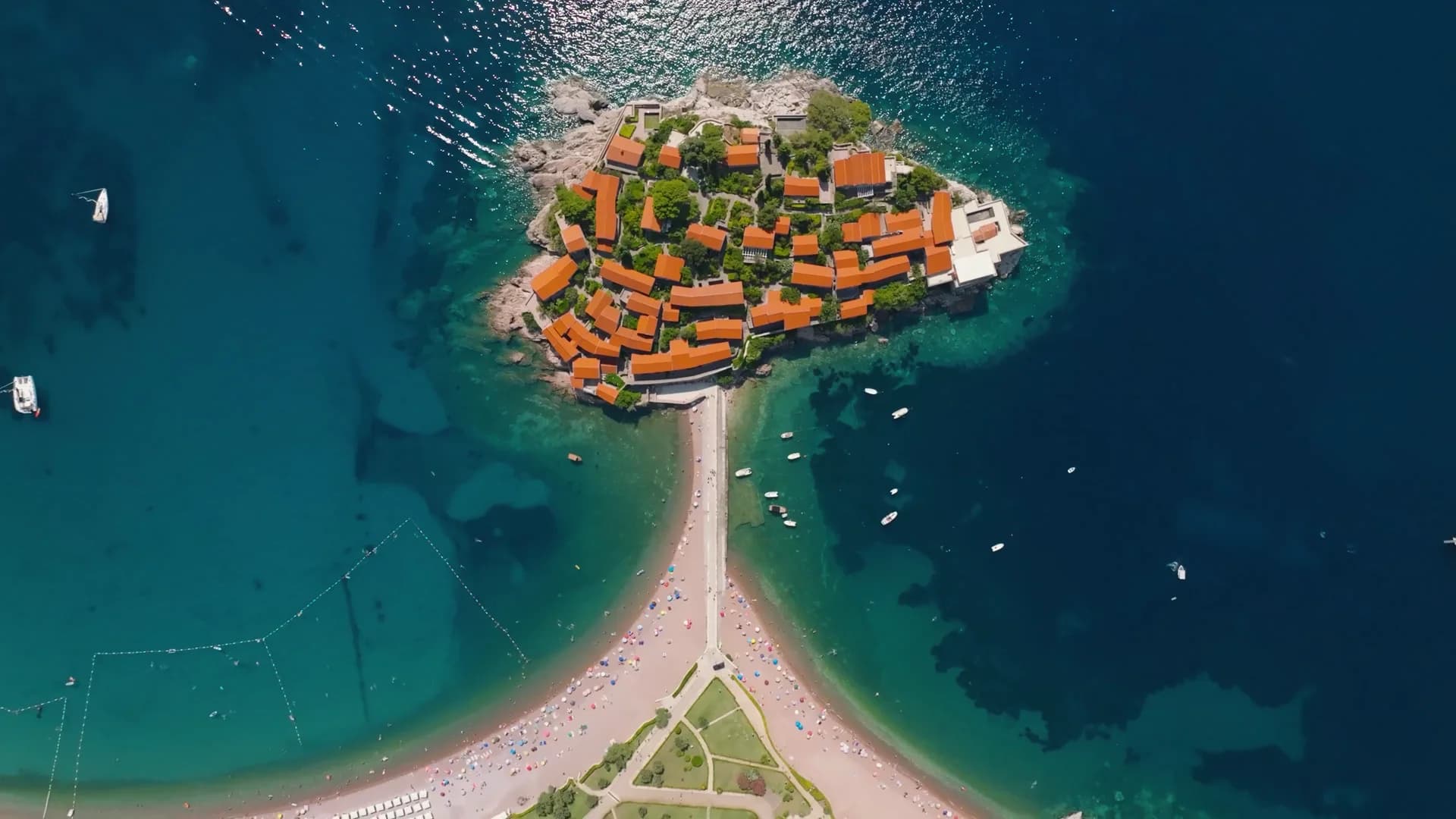
Kamenovo und seine Nachbarn
Dieselben neun Angaben für die Strände, die Sie am selben Tag erreichen. Fett bedeutet: anders als hier.
| Angabe | Kamenovodieser Strand | 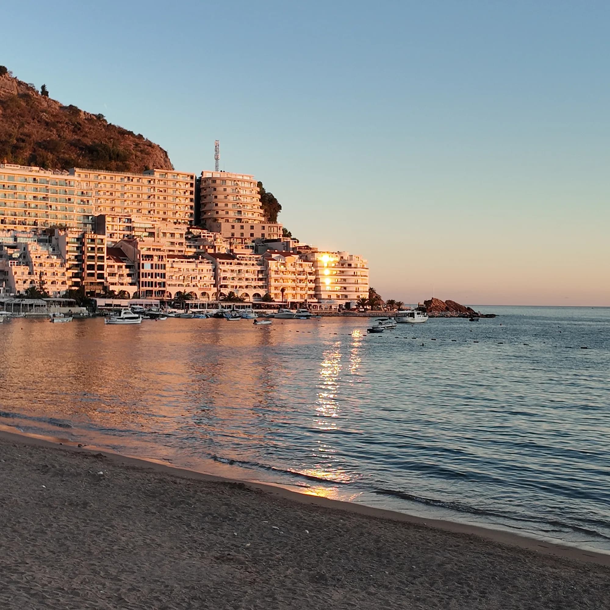 Rafailovići0.6 km Rafailovići0.6 km | 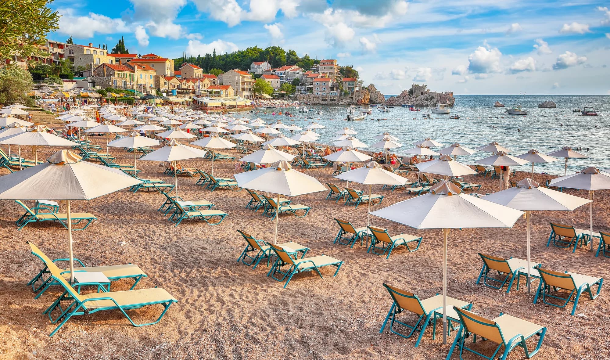 Pržno0.9 km Pržno0.9 km |  Queen's Beach1.4 km Queen's Beach1.4 km |
|---|---|---|---|---|
| Untergrund | Sand und feiner Kies | Sand und feiner Kies | Sand und feiner Kies | Sand und feiner Kies |
| Einstieg | flach | flach | flach | flach |
| Tiefe | flach | flach | flach | flach |
| Schatten | Schirme zu mieten | Schirme zu mieten | Schirme zu mieten | Bäume und Schirme — weicht ab |
| Charakter | bewirtschaftet | bewirtschaftet | bewirtschaftet | bewirtschaftet |
| Länge | 0.3–0.3 km | 1.9–2 km — weicht ab | 0.1–0.3 km — weicht ab | 0.1–0.2 km — weicht ab |
| Letzte Messung | Ausgezeichnet | Ausgezeichnet | Ausgezeichnet | —keine amtliche Messstelle — weicht ab |
| Andrang | in der Saison voll | in der Saison voll | in der Saison voll | Ruhe — weicht ab |
| Anfahrt | mit dem Auto | mit dem Auto | mit dem Auto | mit dem Auto |
Übernachten in der Nähe von Kamenovo — Budva, 4.2 km entfernt
Alle Unterkünfte in Budva →


Der ausführliche Guide
Den Guide zu Kamenovo lesen
Alles oben ist die Kurzfassung. Der Guide enthält die Quellen, die Sektorcodes, die Probedaten und das, was sich innerhalb einer Saison ändert.
Fragen
- Wie komme ich zu Fuß nach Kamenovo?
- Vom Anleger in Rafailovići aus nach Osten entlang der Küste vorbei am geschichteten Fels von Kap Đevištenje, dann auf dem Betonweg unter der Klippe entlang und durch den beleuchteten Tunnel — etwa zehn Minuten. Bei aufgestellten Absperrungen nach starkem Regen umkehren.
- Ist ein Teil von Kamenovo kostenlos?
- Ja. Beide Sektoren sind öffentliche Strände, daher muss die Hälfte der Länge frei von Mobiliar bleiben, mit einem drei Meter breiten Streifen entlang des Wassers und einem Zugangsweg alle zwanzig Meter. Halten Sie sich an die vor Ort markierte Aufteilung.
- Hat Kamenovo eine Blaue Flagge?
- Beide Sektoren, 17A und 17B La Suerte, stehen auf der offiziellen Liste von 2024. Die Auszeichnung gilt jährlich — prüfen Sie die Flagge am Strand oder die internationale Karte für die aktuelle Saison.
Quellen
- Government of Montenegro planning assessment for the Kamenovo bay (wapi.gov.me)
- Morsko Dobro — Budva register of bathing areas, public calls and the bathing-water monitor
- Official Blue Flag recipient list 2024
- Budva Tourism (budva.travel) — local bus routes
- OpenStreetMap — beach way 56213868, tunnel way 113573070