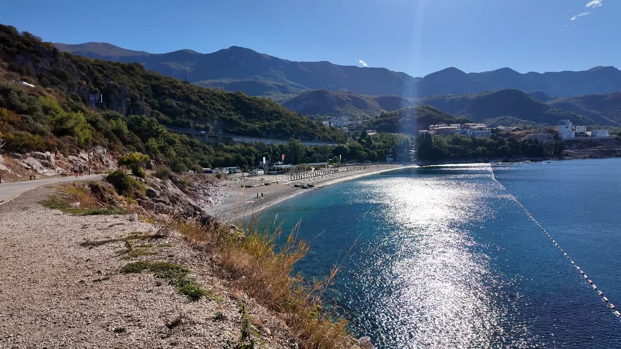
Kamenovo
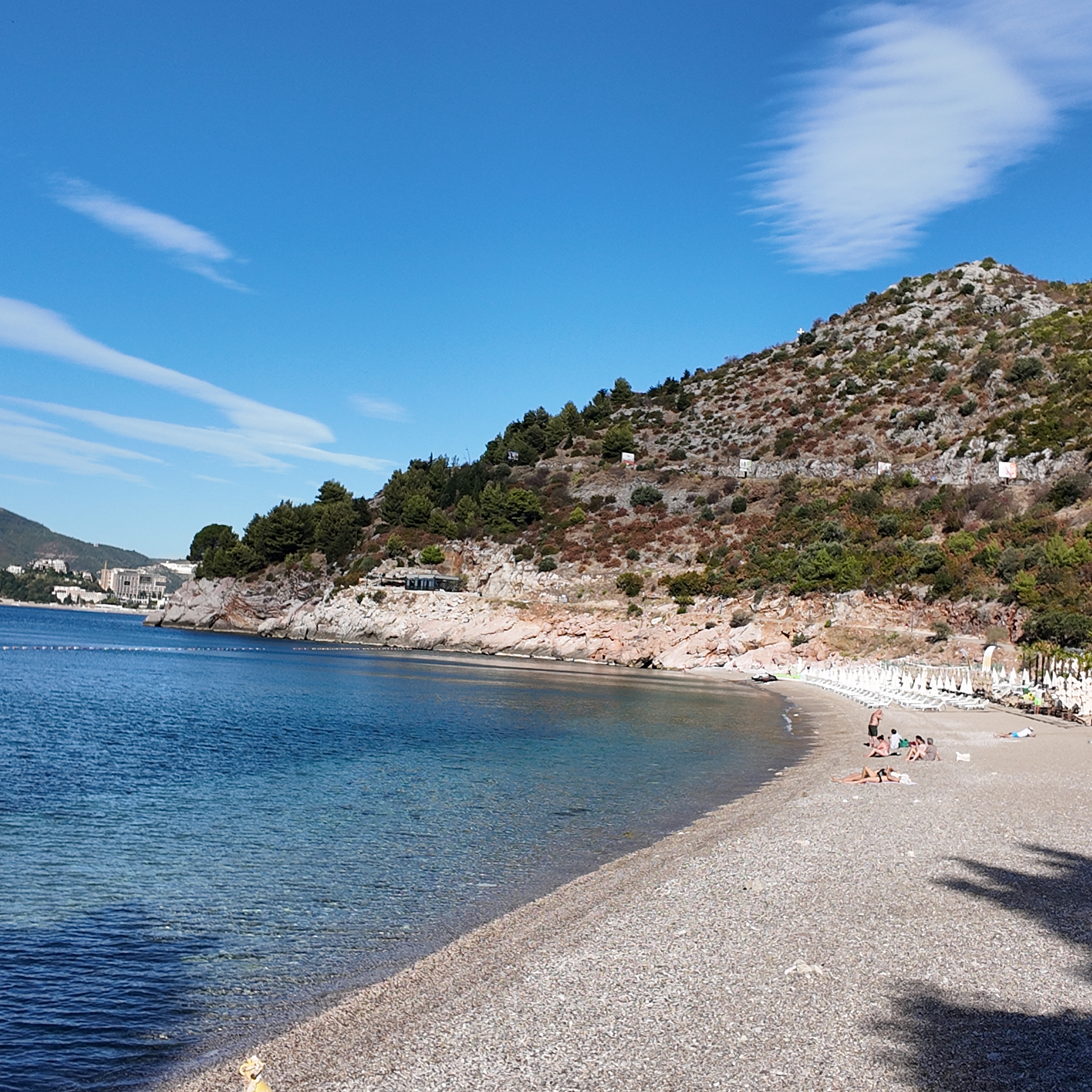
Un arco de 340 metros de arena y guijarro fino al que se llega por un túnel en la roca, con los mejores resultados oficiales del agua de toda la riviera.
Nuestro veredicto
Kamenovo es la bahía en la que se convierte la riviera de Budva en cuanto termina la franja de Bečići: arena mixta y guijarro fino, entrada suave, agua señalizada con boyas que dio Excelente en todos los muestreos de 2026, y vistas abiertas hacia Sveti Stefan. Es una playa gestionada, no una cala secreta, y mejor por ello: dos concesiones, un bar bajo las palmeras, y las normas de playa pública que dejan libre de mobiliario la mitad de la longitud.
Kamenovo, en datos
La orilla
Servicios
Acceso
Normas y carácter
Datos verificados el 28 de septiembre de 2026 · Longitud: State planning assessment (wapi.gov.me), which gives both figures · Quedan 7 datos por comprobar sobre el terreno
Kamenovo en imágenes
Fotografías y vídeos de Montenegro.com, libres de reutilizar bajo CC BY 4.0. Las nuestras se tomaron el 28 de septiembre de 2026.
Kamenovo en movimiento
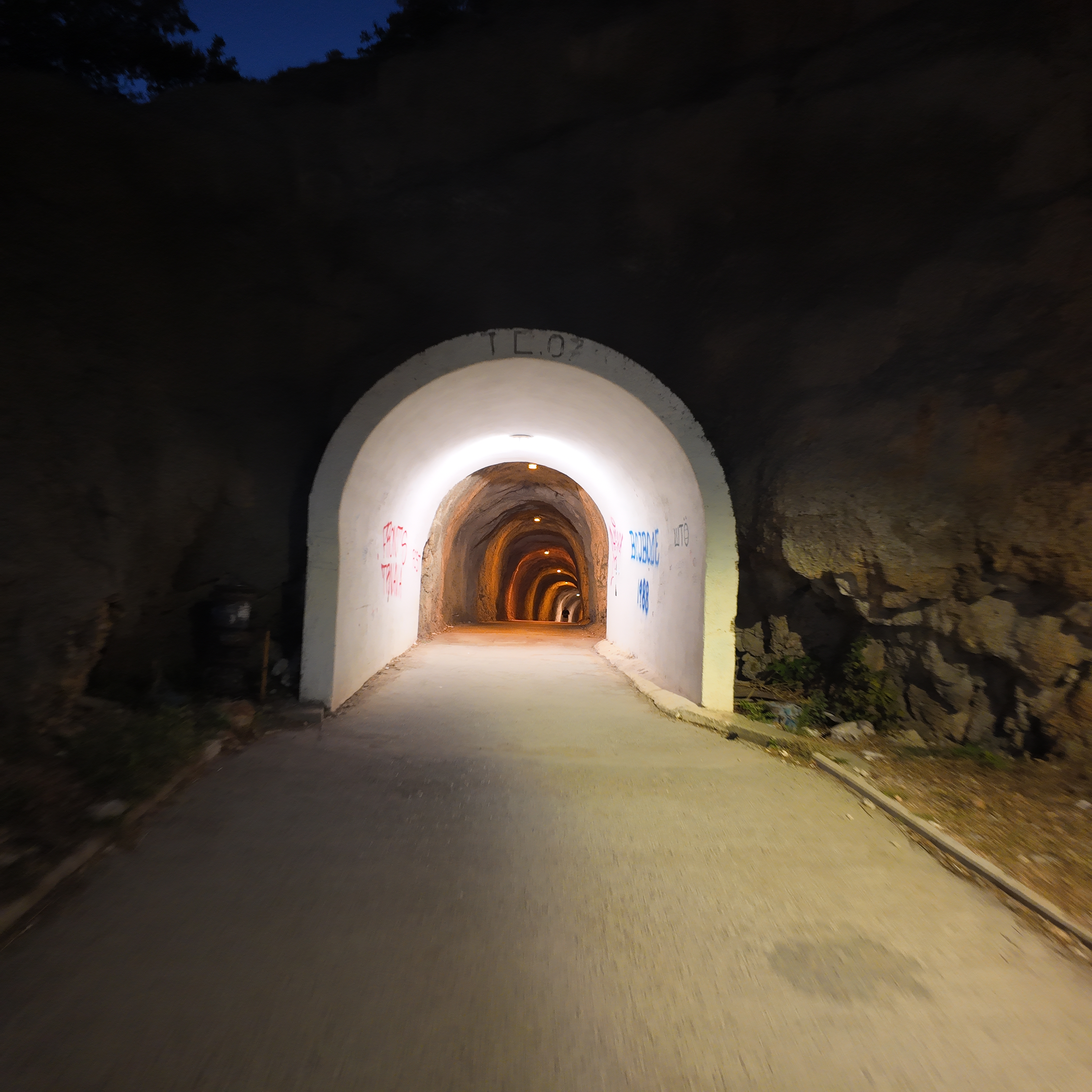
A través del túnel en la roca desde Rafailovići, la luz de Kamenovo al fondo
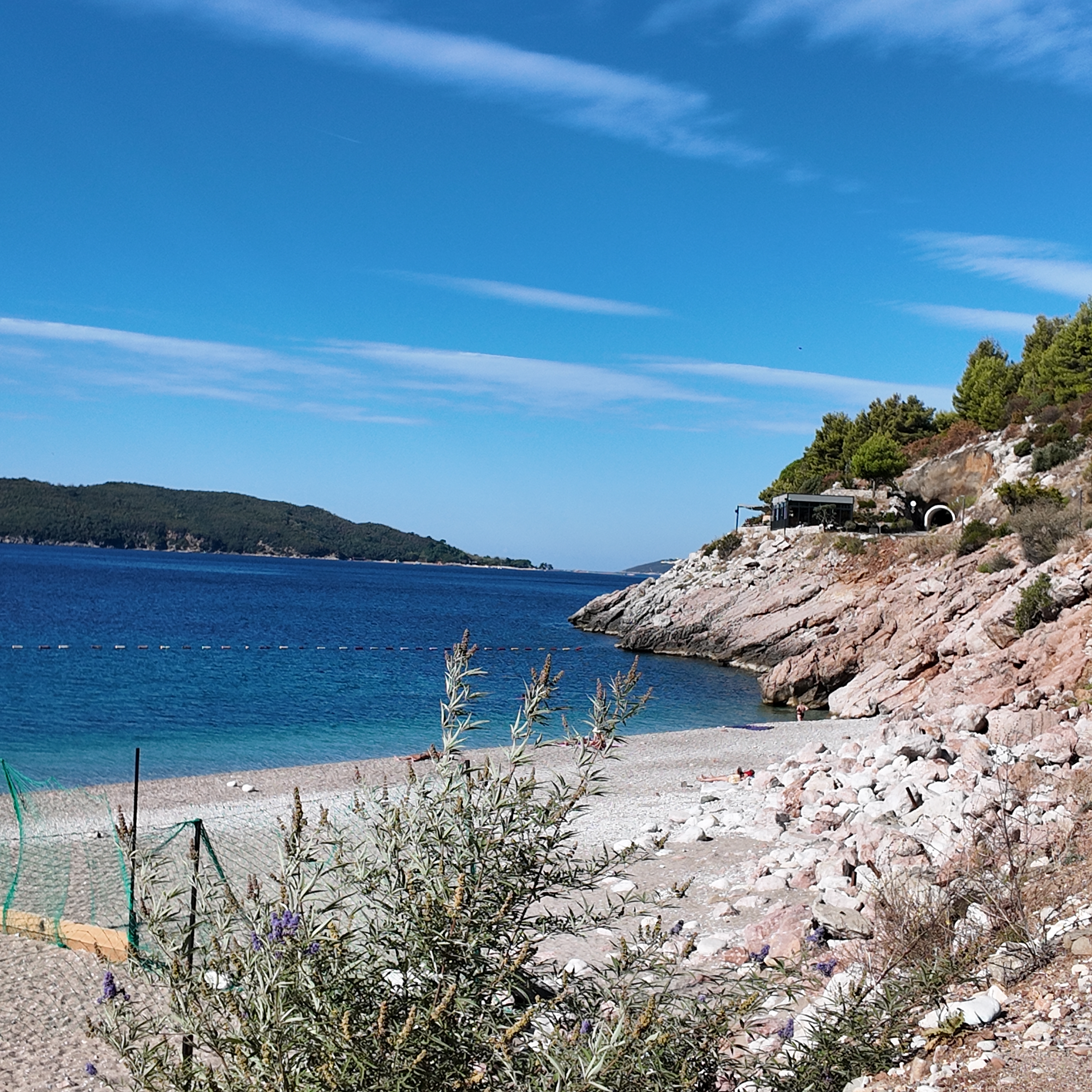
La cala rocosa en el extremo occidental de Kamenovo por la mañana
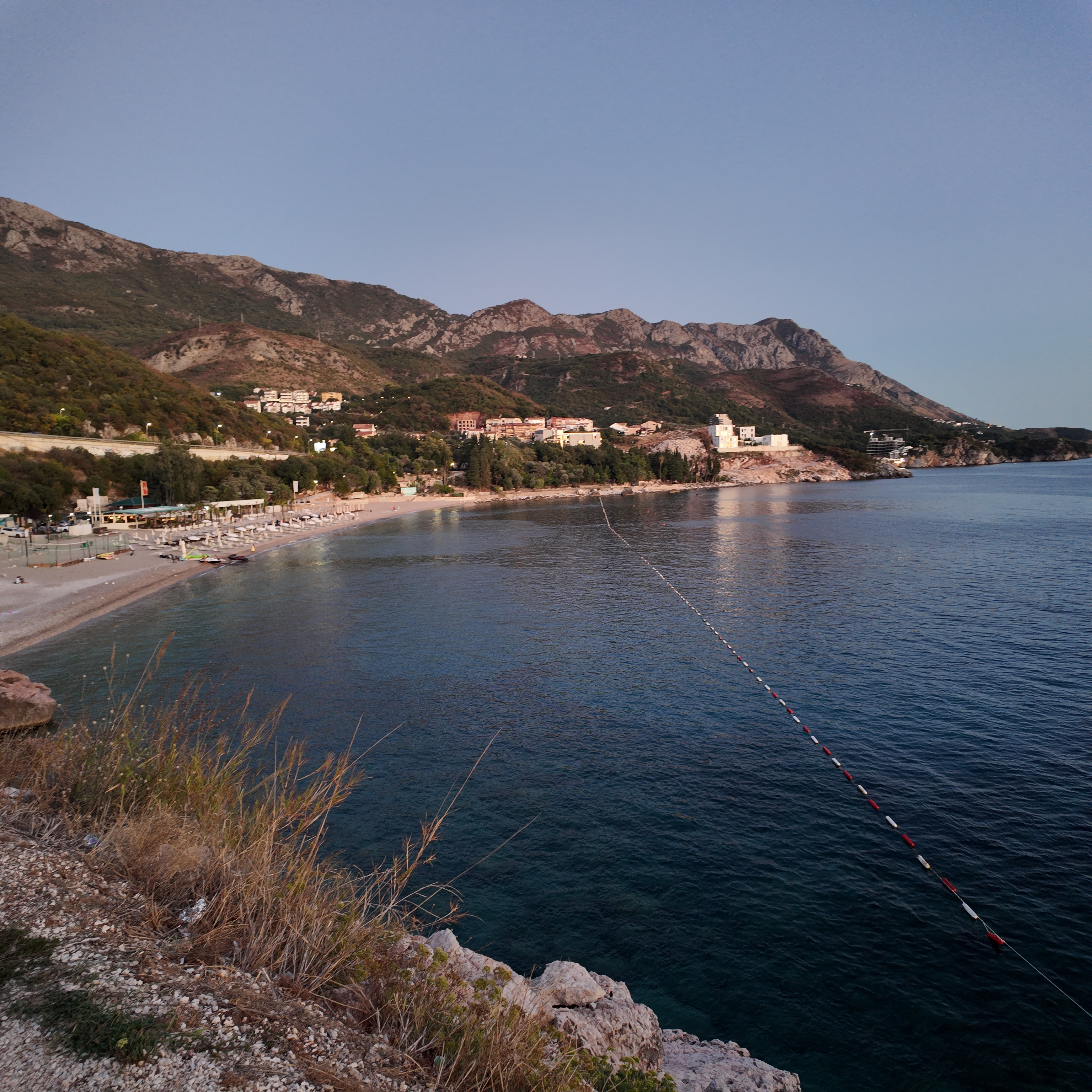
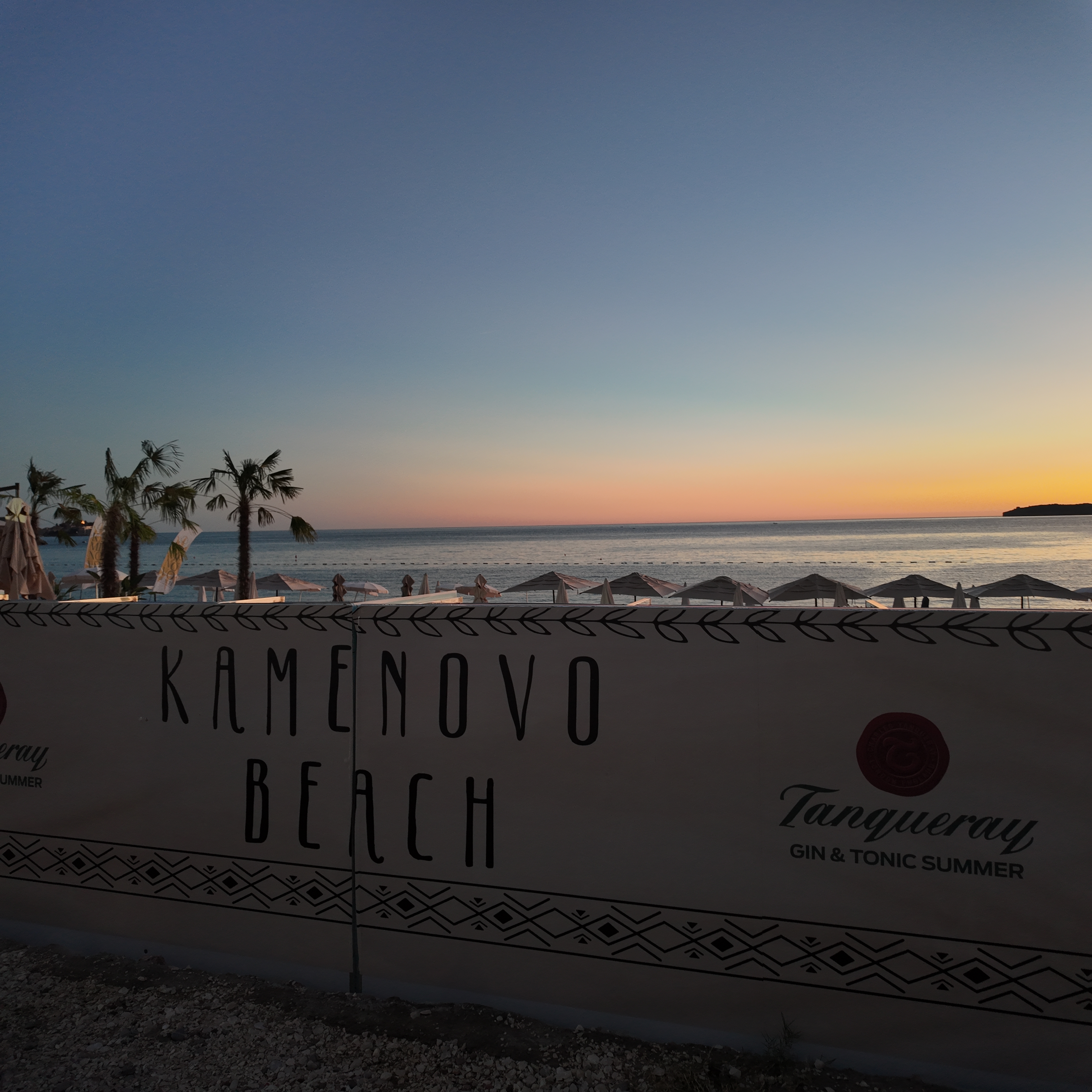
Kamenovo al anochecer, las luces de Pržno encendiéndose al otro lado de la bahía
Fotografías y vídeos de Montenegro.com, libres de reutilizar bajo CC BY 4.0. Las nuestras se tomaron el 28 de septiembre de 2026.
Originales libres · CC BY 4.0
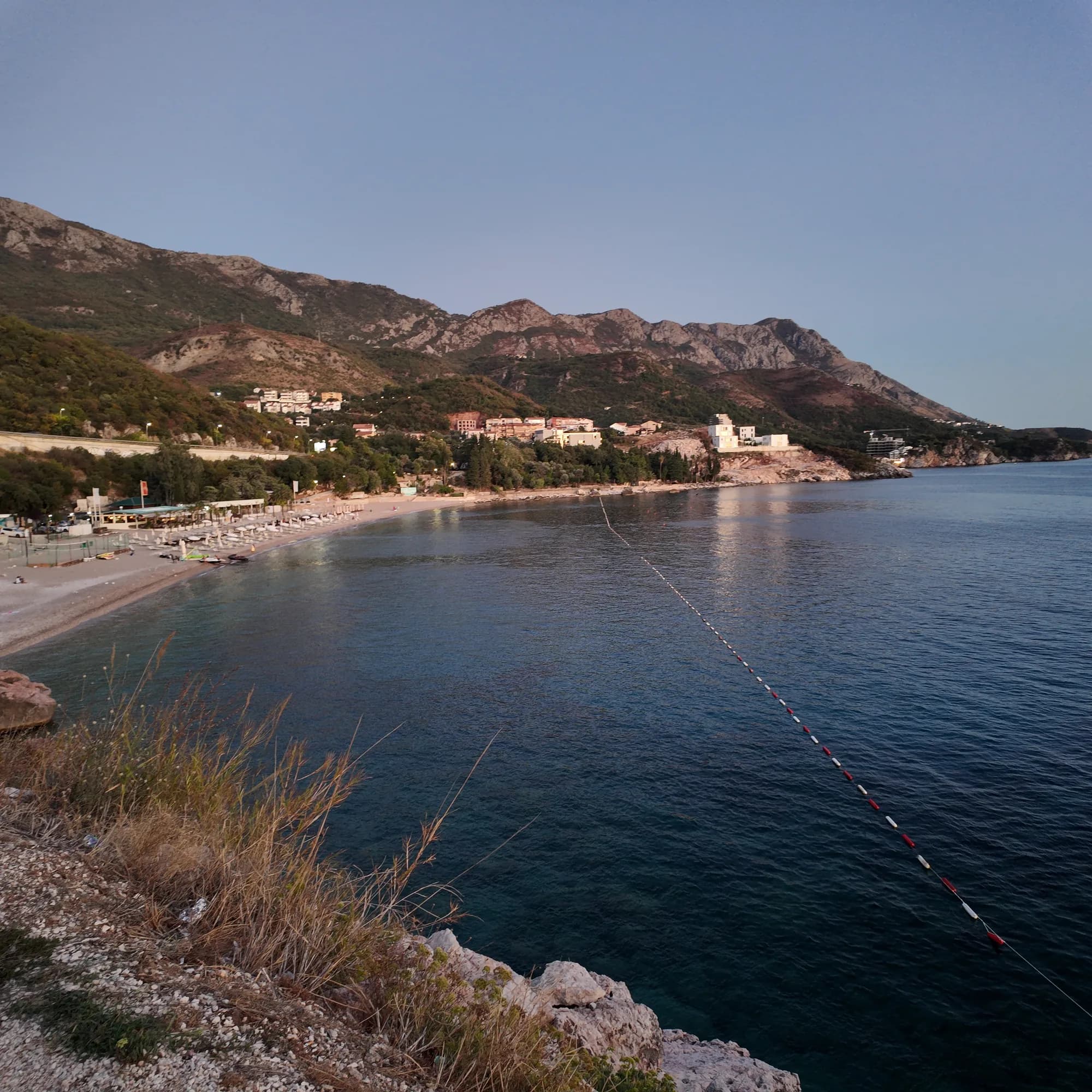
Foto a tamaño completo
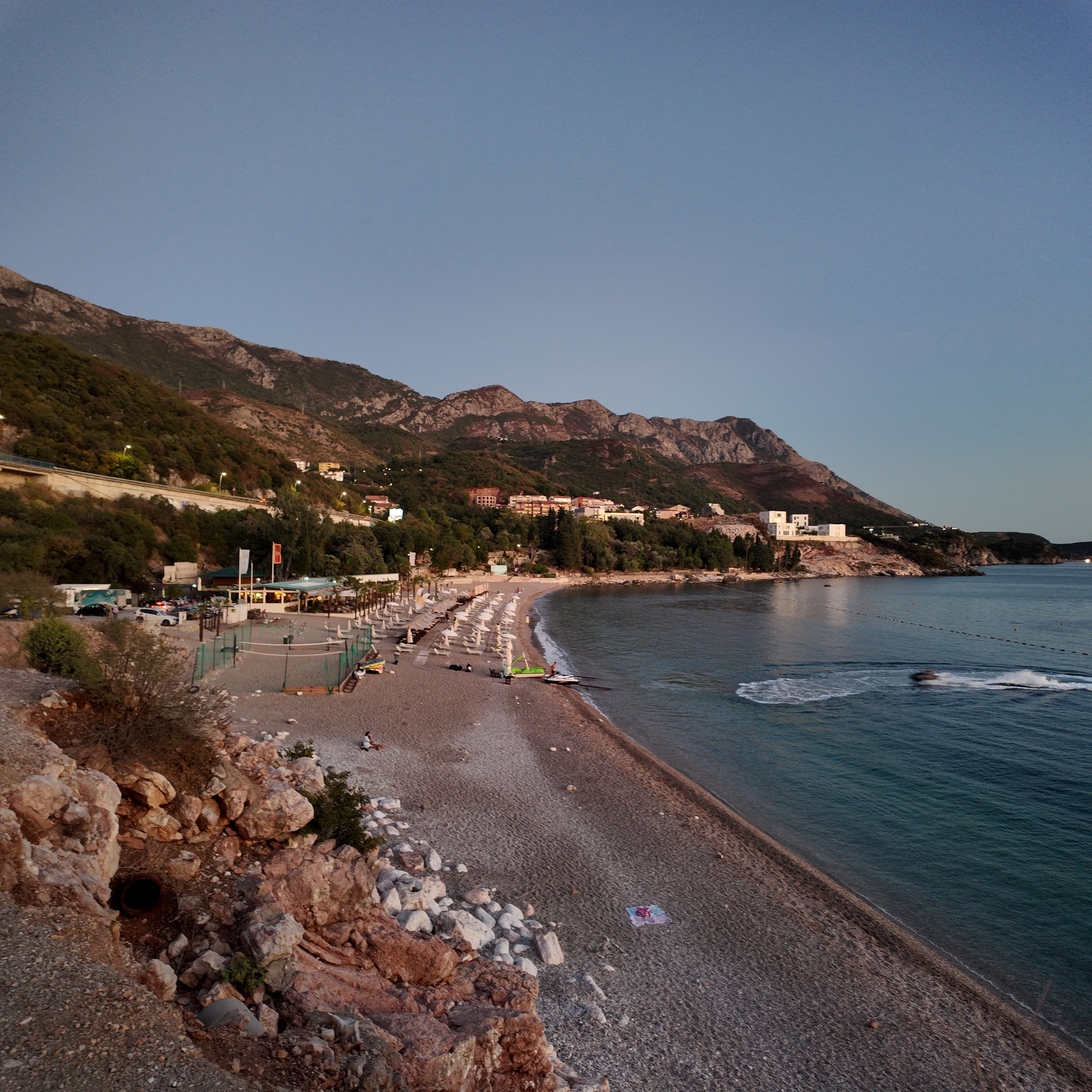
Kamenovo beach from the coastal path — original JPEG with EXIF
3072 × 3072 · JPEG · 7 MB
Descargar el DNG (7 MB)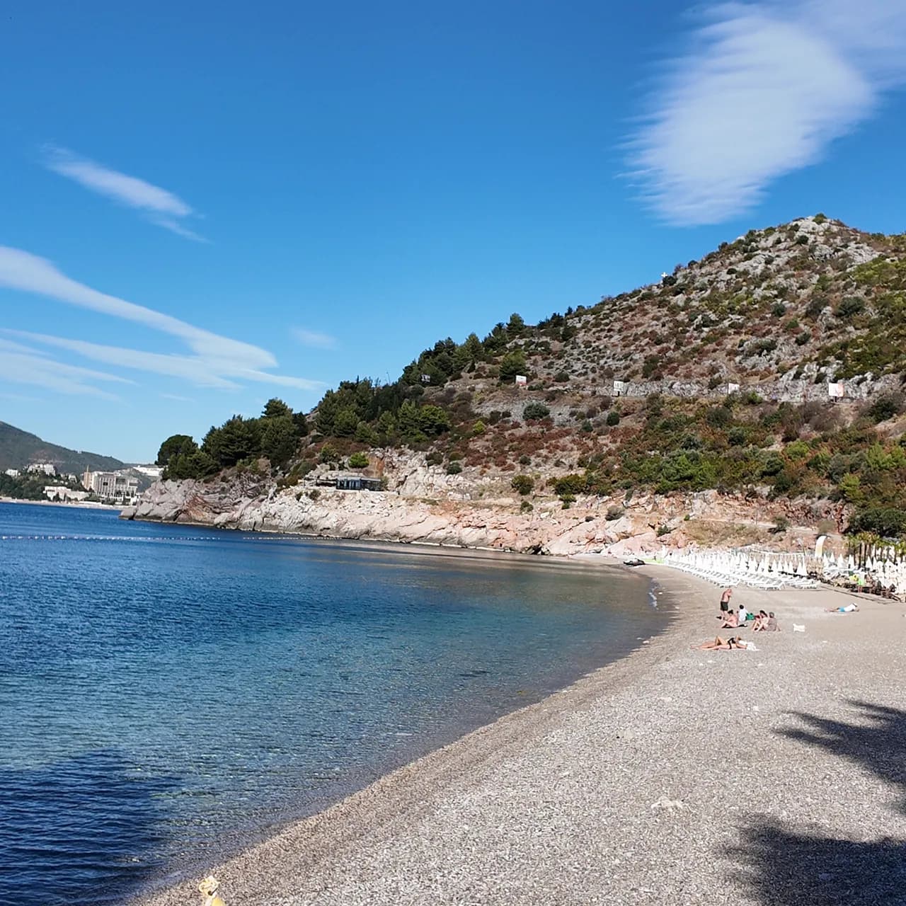
Foto a tamaño completo
Kamenovo beach in the morning — original JPEG with EXIF
3072 × 3072 · JPEG · 7 MB
Descargar el DNG (7 MB)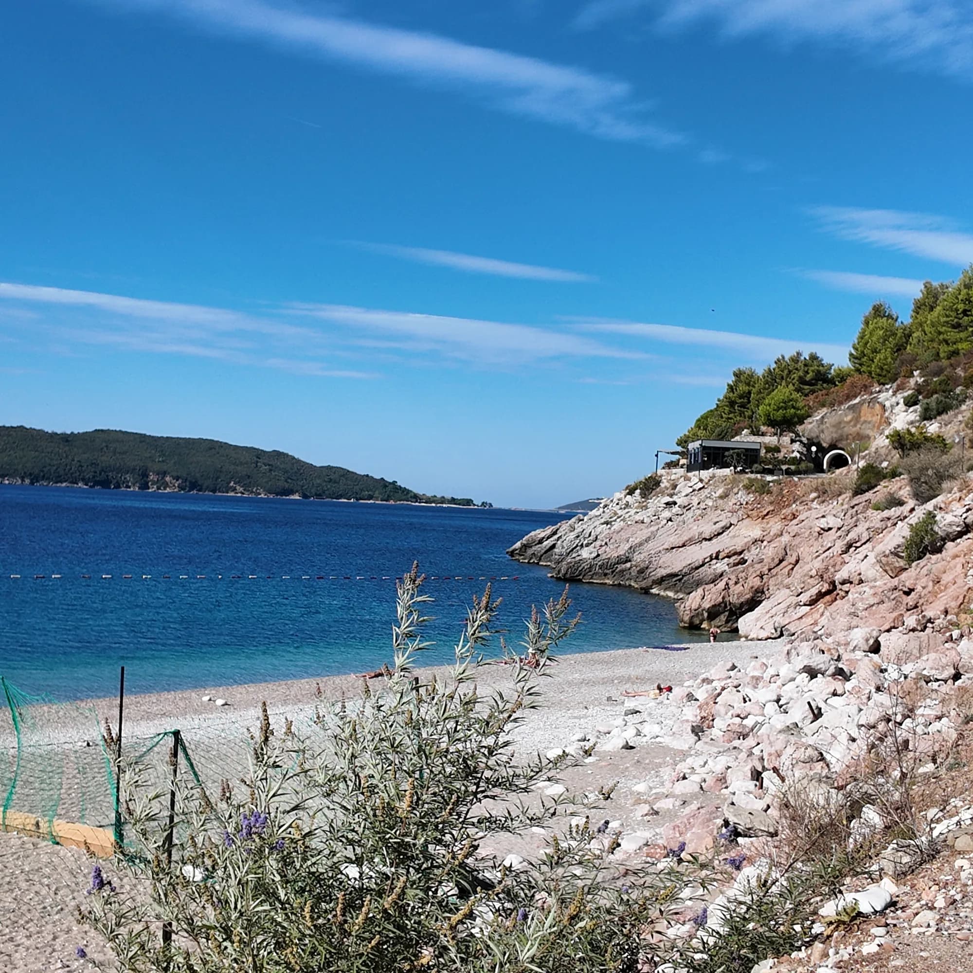
Foto a tamaño completo
Rocky cove at Kamenovo — original JPEG with EXIF
3072 × 3072 · JPEG · 7 MB
Descargar el DNG (7 MB)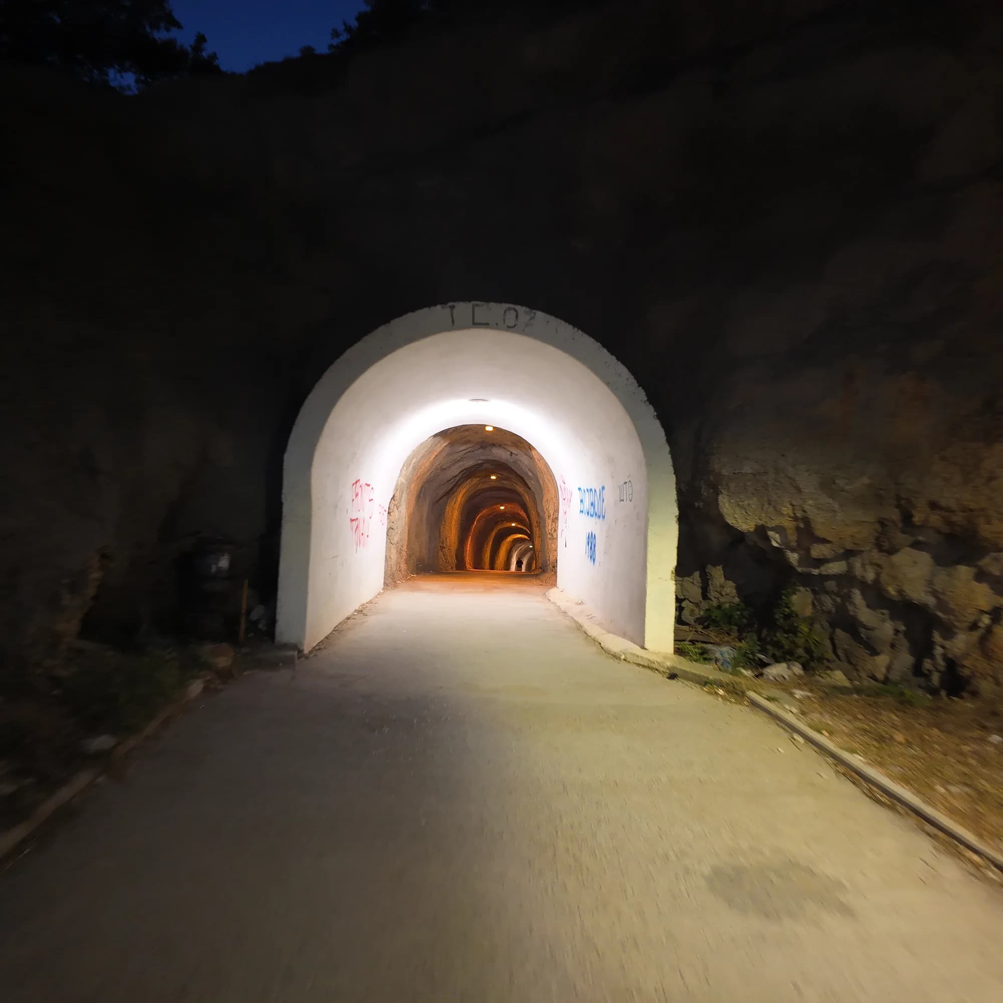
Foto a tamaño completo
Lit tunnel to Kamenovo — original JPEG with EXIF
3072 × 3072 · JPEG · 5 MB
Descargar el DNG (5 MB)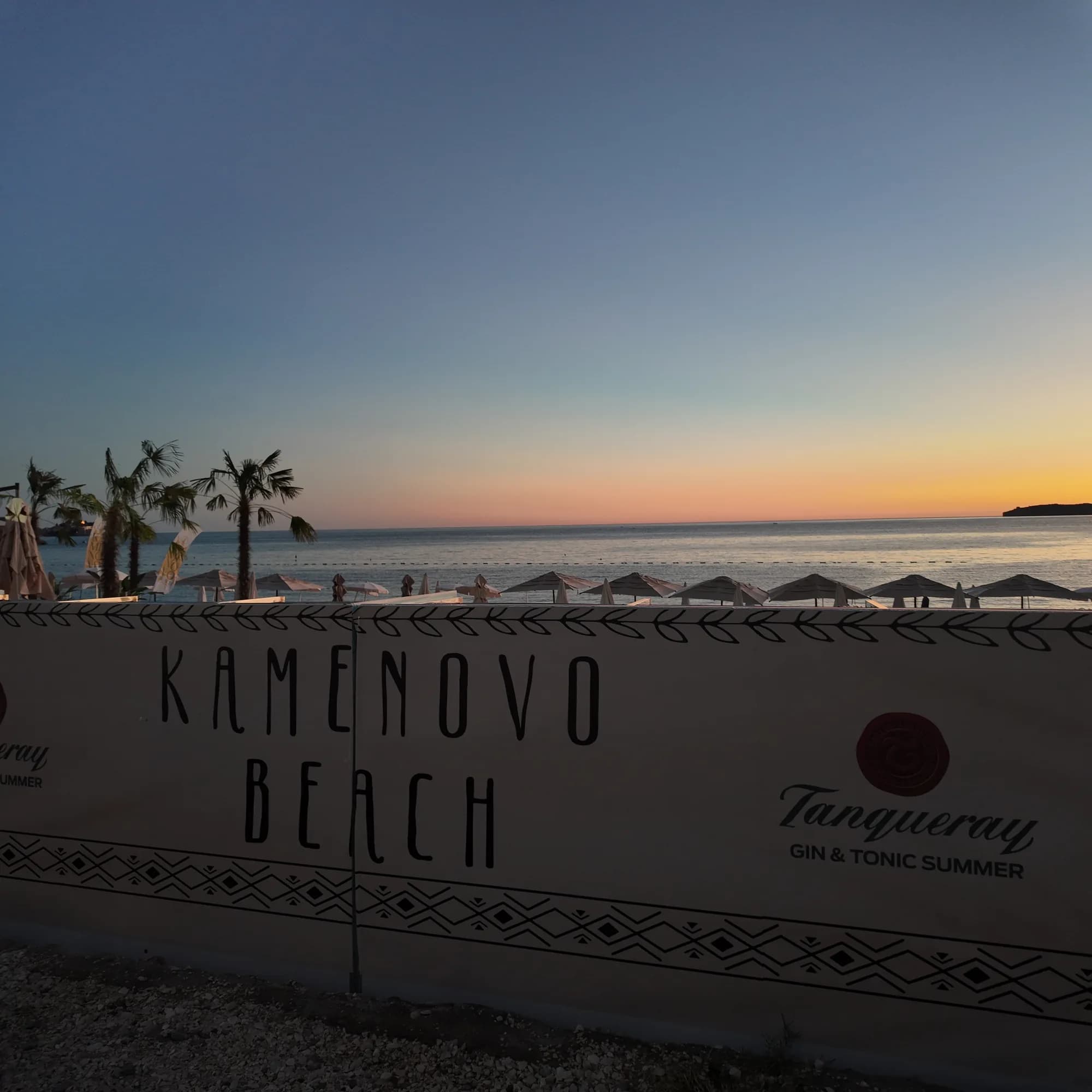
Foto a tamaño completo
Kamenovo Beach sign — original JPEG with EXIF
3072 × 3072 · JPEG · 5 MB
Descargar el DNG (5 MB)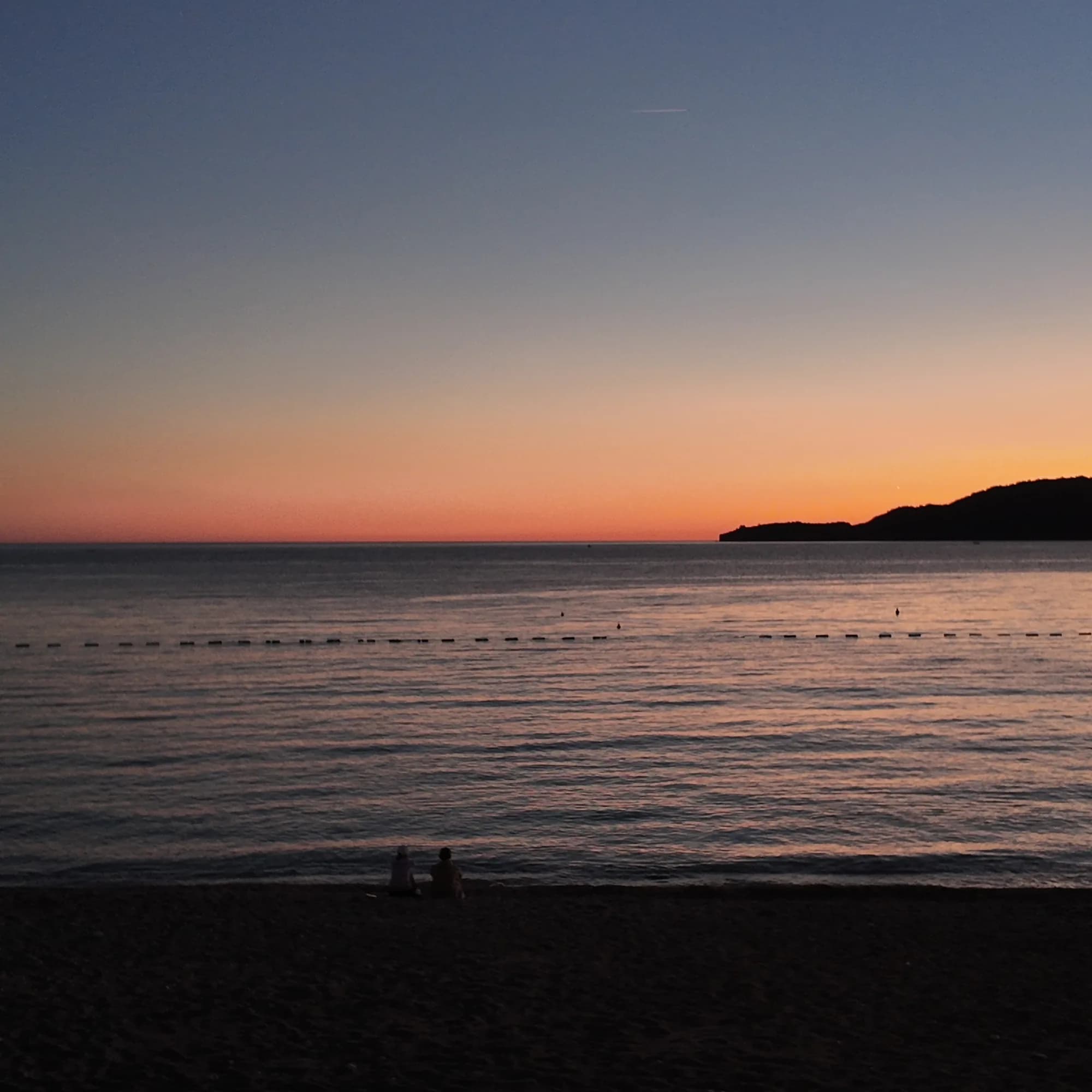
Foto a tamaño completo
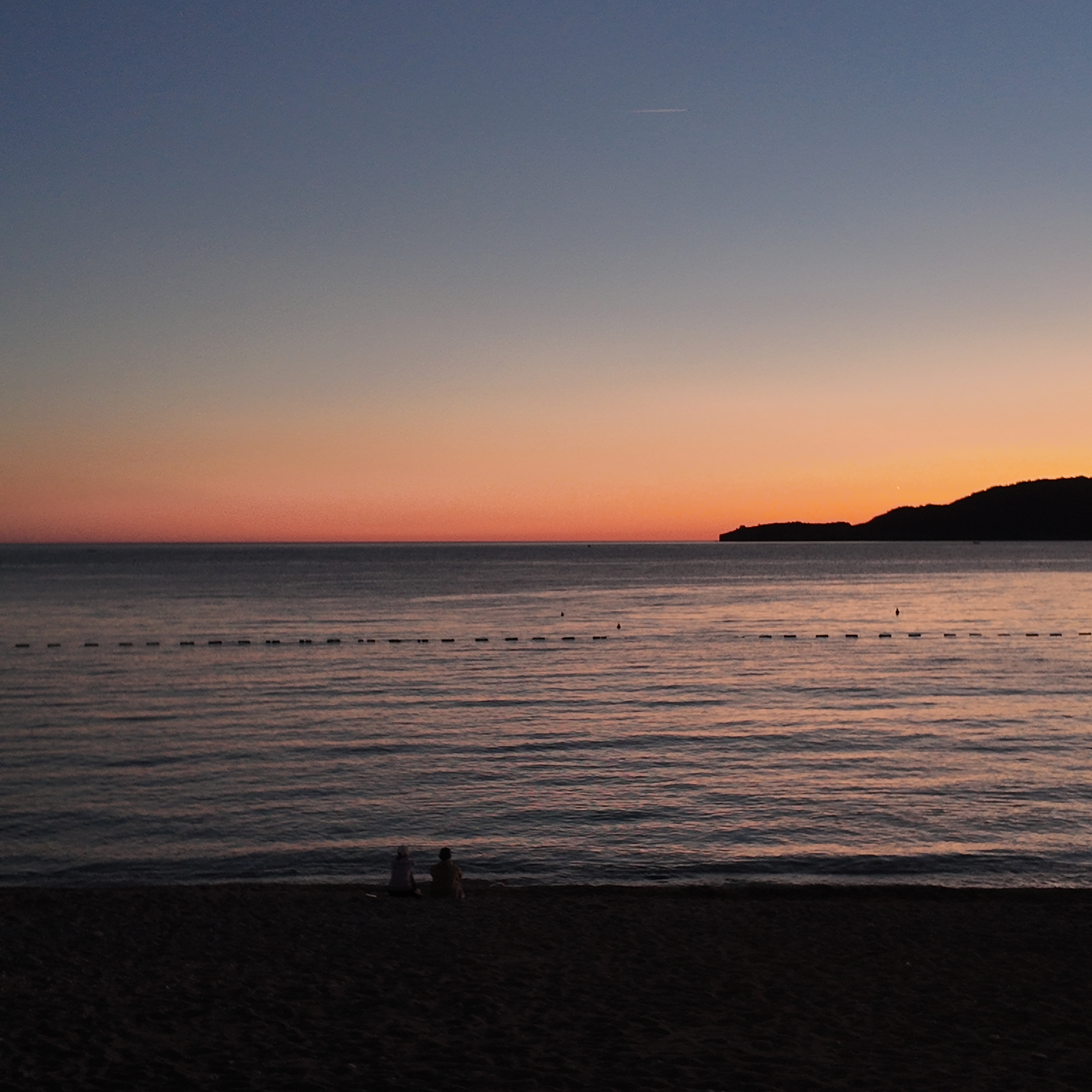
Sunset from Kamenovo beach — original JPEG with EXIF
3072 × 3072 · JPEG · 4 MB
Descargar el DNG (4 MB)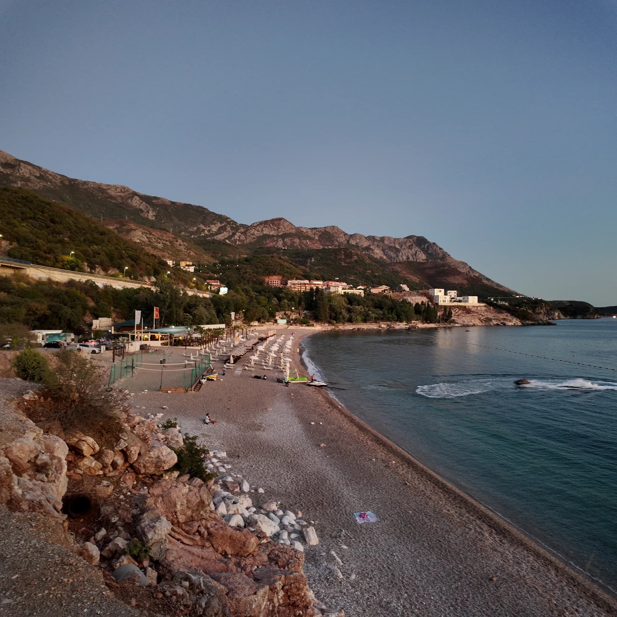
Foto a tamaño completo
Kamenovo beach and hills — original JPEG with EXIF
3072 × 3072 · JPEG · 7 MB
Descargar el DNG (7 MB)Grabación, fotografía y vídeo originales de Montenegro.com, con licencia CC BY 4.0: libres para compartir y adaptar citando a Montenegro.com. ¿Uso comercial? Cite a Montenegro.com y enlace a esta página.
Mapa
El agua sombreada es la zona de baño oficial de la estación Kamenovo: el tramo que JP Morsko dobro muestrea realmente, no el contorno de la playa.
Cómo llegar
4.2 km
Budva
19 km
Kotor
20 km
Tivat airport
Distancias en línea recta — las carreteras de Montenegro son de montaña, así que el trayecto es más largo.
- En el paseo Las Siete BahíasParada: kamenovo
- En autobúsBudva–Petrovac and Budva–Sveti Stefan (stop on the highway above the bay)
- En cocheParking is limited and tariffs change; in July and August come by bus, taxi or on foot
- 10 min a piecon escalones — From the Rafailovići mooring along the concrete path and through the lit tunnel
Hoy en Kamenovo
La orientación se calcula a partir de la costa de OpenStreetMap, así que «hacia la playa» y «desde tierra» se refieren a esta orilla y no a la región. Previsión de Open-Meteo
Agua y galardones
Excelente
Última muestra oficial 29 de septiembre de 2026: Excelente
Mar a 21.5 °C en el momento de la muestra
10 de 10 muestras excelentes en la temporada 2026
Resultado oficial de JP Morsko dobro, estación Kamenovo
Siete muestras oficiales en 2026, las siete "Excelente"
- Blue Flag 2024 — both sectors, 17A and 17B La SuerteAn annual award; the operator’s “since 2016” is its own claim — read the flag on the day
- 7 of 7 samples Excellent, 26 May – 18 Aug 2026
Antes de bañarte
- El sendero costero desde Rafailovići pasa bajo un acantilado: desprendimientos y roca mojada tras la lluvia — dé la vuelta si hay barreras puestas
- Cruzar la autopista del Adriático en la parada de autobús, donde la visibilidad es escasa
- Un carril de barcos está marcado con boyas — manténgase dentro de la zona de baño
Cuándo está templada el agua
Kamenovo alcanzó su máximo, 28.0 °C, el 1 de septiembre de 2026, y su mínimo, 19.4 °C, el 26 de mayo de 2026. Cada punto es una toma de muestra real con la temperatura medida en el sitio, no un promedio mensual copiado de otra parte.
Ver los 10 muestreos
| Muestreo | Mar | Resultado |
|---|---|---|
| 29 de septiembre de 2026 | 21.5 °C | Excelente |
| 15 de septiembre de 2026 | 24.8 °C | Excelente |
| 1 de septiembre de 2026 | 28.0 °C | Excelente |
| 18 de agosto de 2026 | 26.1 °C | Excelente |
| 4 de agosto de 2026 | 25.5 °C | Excelente |
| 21 de julio de 2026 | 24.8 °C | Excelente |
| 7 de julio de 2026 | 21.5 °C | Excelente |
| 23 de junio de 2026 | 22.8 °C | Excelente |
| 9 de junio de 2026 | 23.7 °C | Excelente |
| 26 de mayo de 2026 | 19.4 °C | Excelente |
Temporada a temporada
Kamenovo se ha muestreado 69 veces desde 2020: 64 de esas lecturas excelentes, 5 por debajo.
Lo caliente que llegó a estar el agua, temporada a temporada. La media es solo de los muestreos de julio y agosto: una ventana fija, para que un año en que los inspectores vinieron temprano no parezca frío.
Un puñado de temporadas es un registro, no una tendencia: lo que se ve aquí es la dispersión propia de unas pocas lecturas fechadas, no la prueba de un mar que se calienta o se enfría. Un punto hueco marca una temporada en la que algún muestreo quedó por debajo de excelente.
| Temporada | Muestreos | Excelente | Por debajo | Media jul.-ago. | Máxima |
|---|---|---|---|---|---|
| 2020 | 9 | 7 | 2 | 23.5 °C | 26 °C |
| 2021 | 10 | 9 | 1 | 25.7 °C | 26.9 °C |
| 2022 | 10 | 9 | 1 | 24 °C | 27.1 °C |
| 2023 | 10 | 9 | 1 | 24 °C | 27.9 °C |
| 2024 | 10 | 10 | — | 24.5 °C | 28.3 °C |
| 2025 | 10 | 10 | — | 22.7 °C | 25.6 °C |
| 2026en curso | 10 | 10 | — | 24.5 °C | 28 °C |
Concesionada como
El Estado arrienda esta costa lote a lote. Kamenovo sale a concurso como 4 lotes que suman unos 469 m de orilla, cada uno con una categoría oficial.
También concesionado aquí: una plataforma de amarre en el agua frente a la playa.
Entre ellos: Playa de fiesta.
| Categoría | Lotes | Orilla |
|---|---|---|
| Playa de fiesta | 2 | 305 m |
| Baño familiar | 1 | 130 m |
| Baño de excursión | 1 | 34 m |
Unos 11,941 m² en total. Esto es lo concesionado, no lo observado: el número de hamacas, aseos y duchas por lote se fija en el contrato firmado, que no se publica. Licitaciones de JP Morsko dobro
Playas cercanas
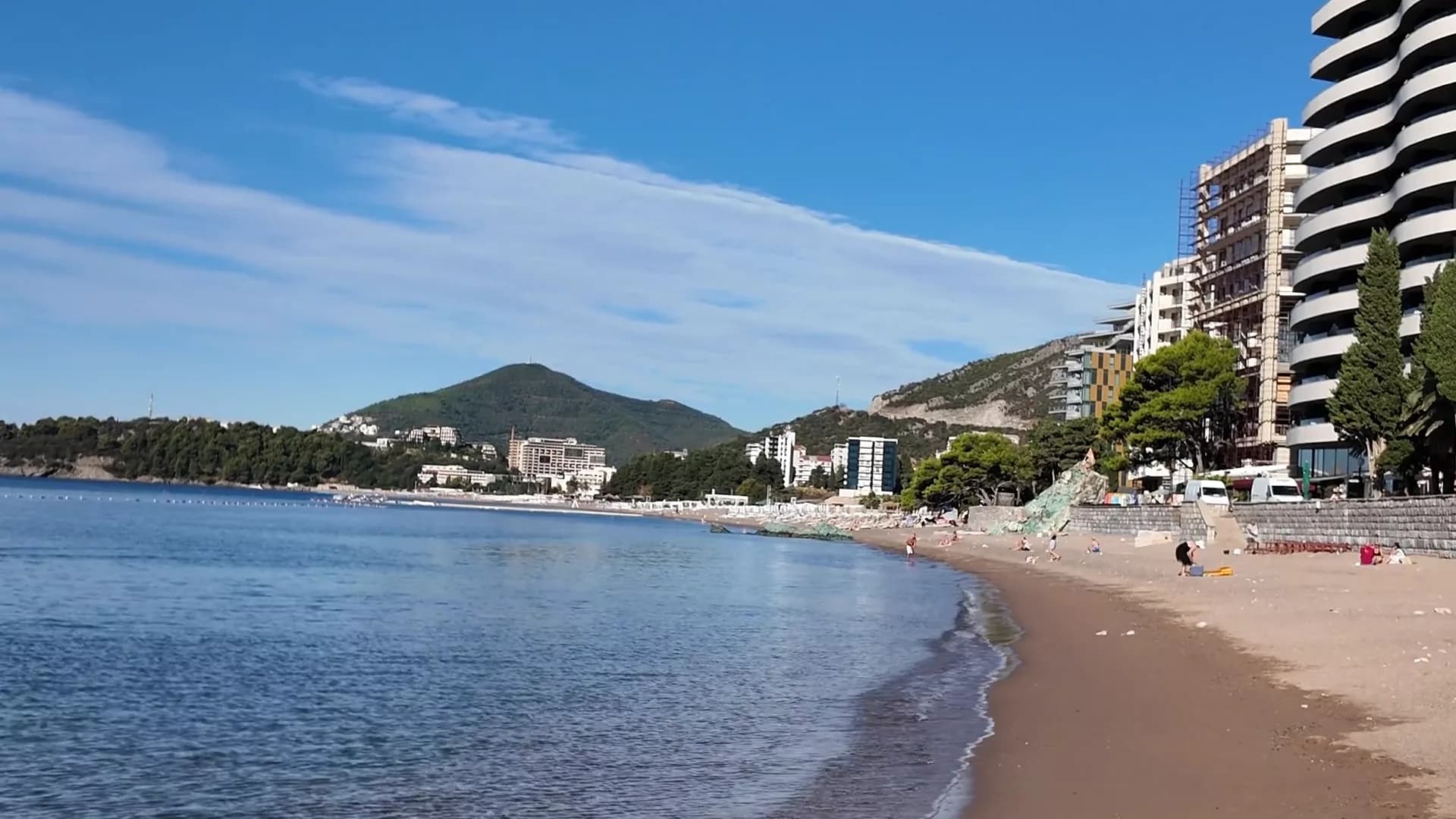
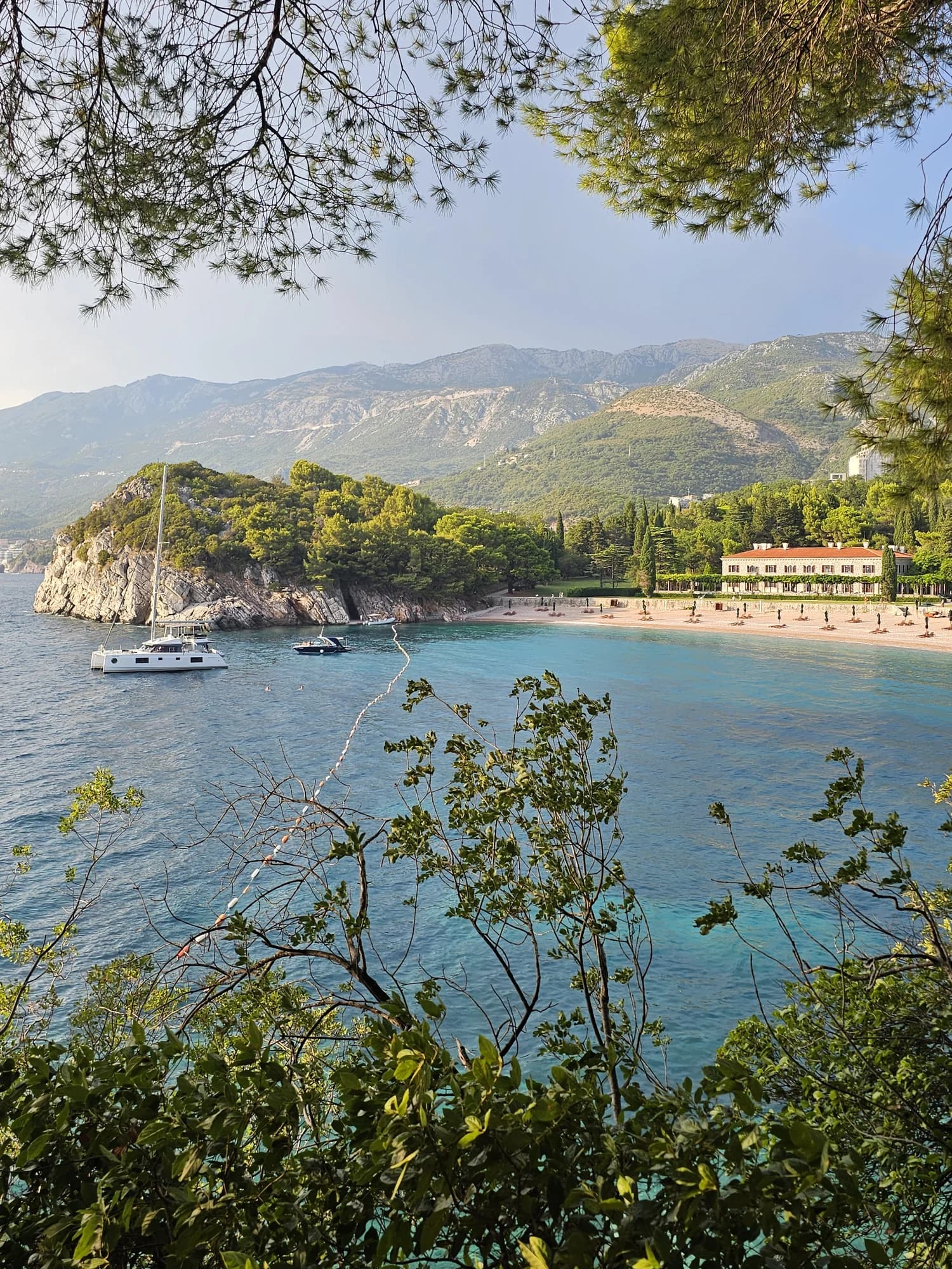
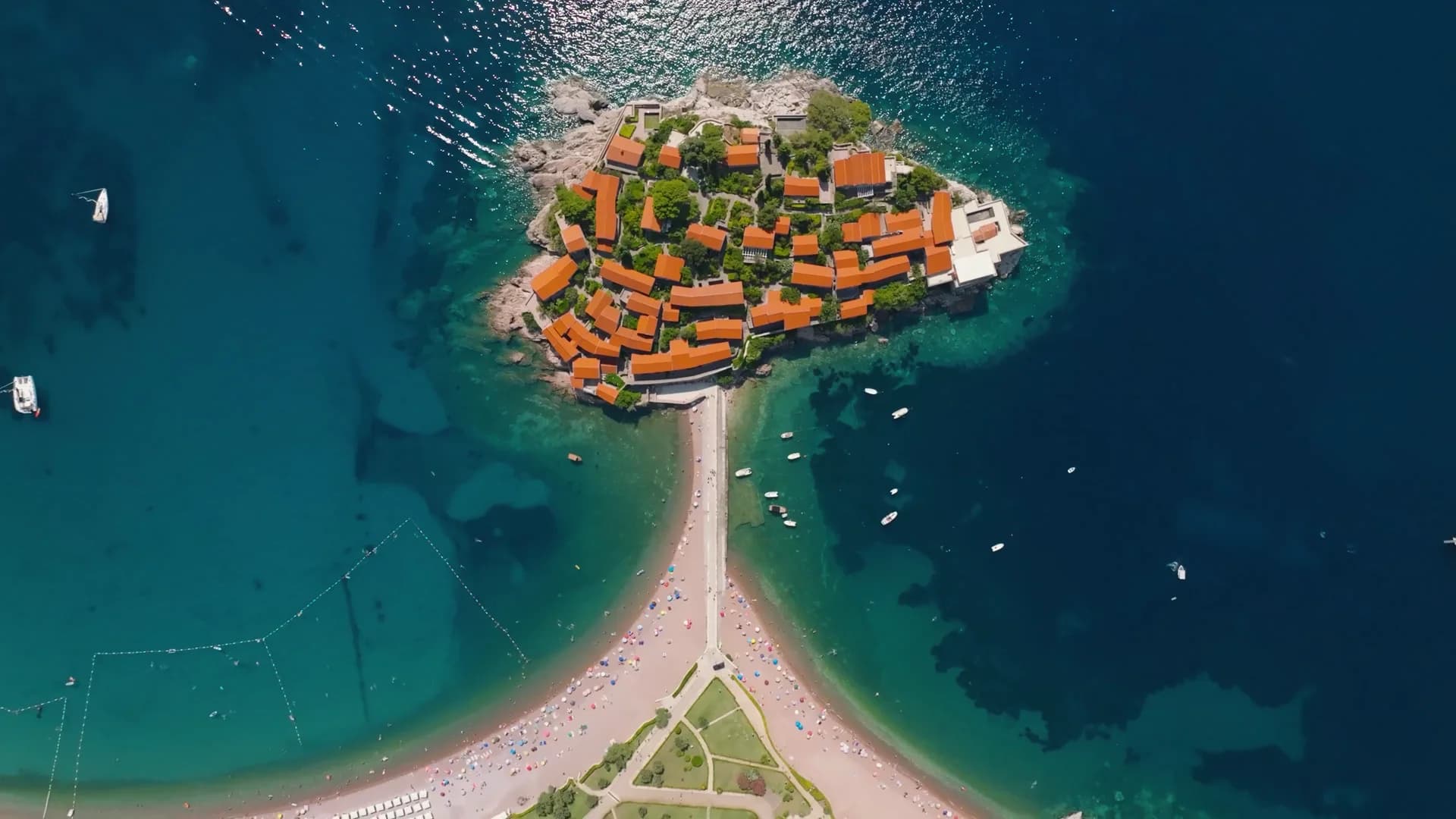
Kamenovo y sus vecinas
Las mismas nueve medidas para las playas que puede alcanzar el mismo día. La negrita indica que difiere de esta.
| Medida | Kamenovoesta playa | 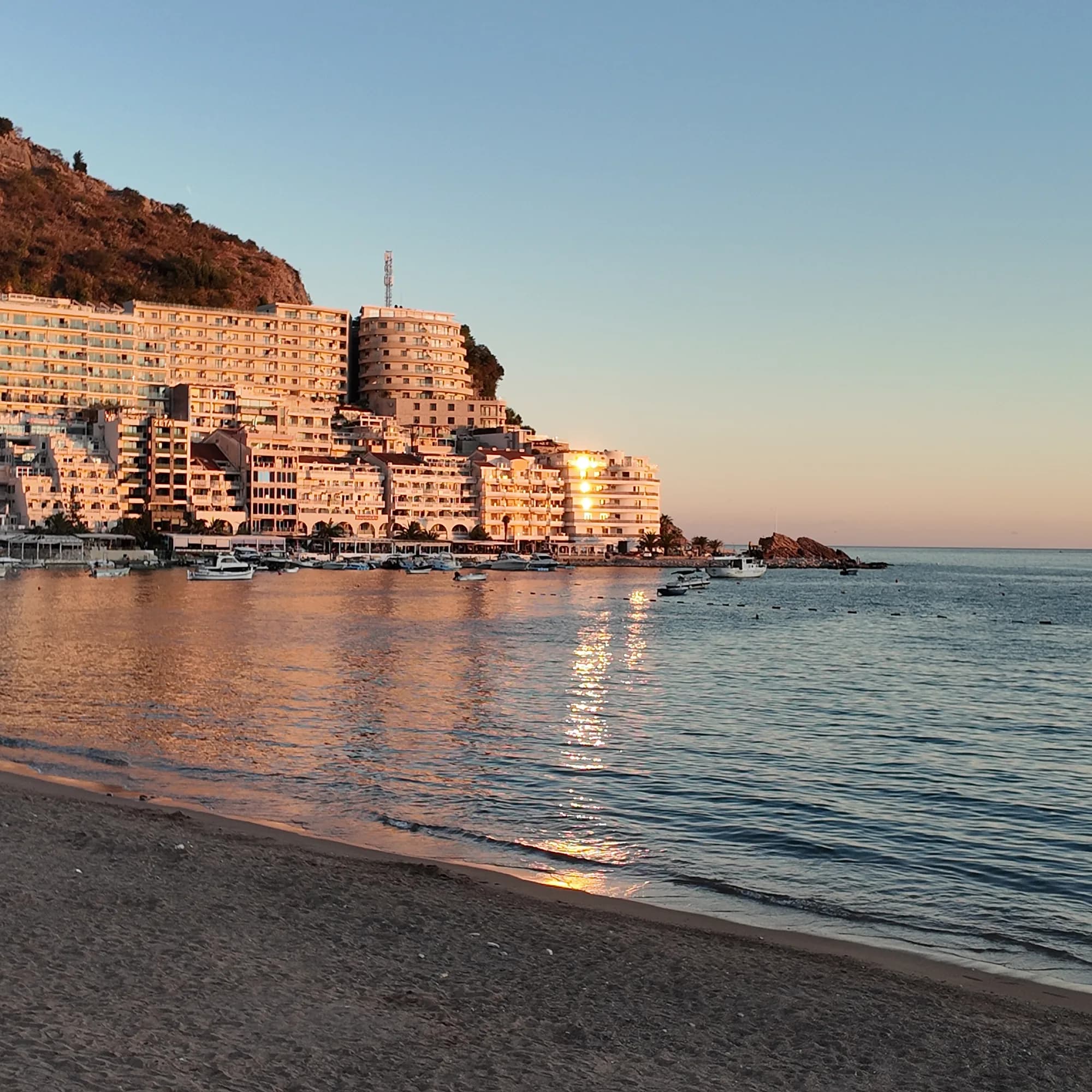 Rafailovići0.6 km Rafailovići0.6 km | 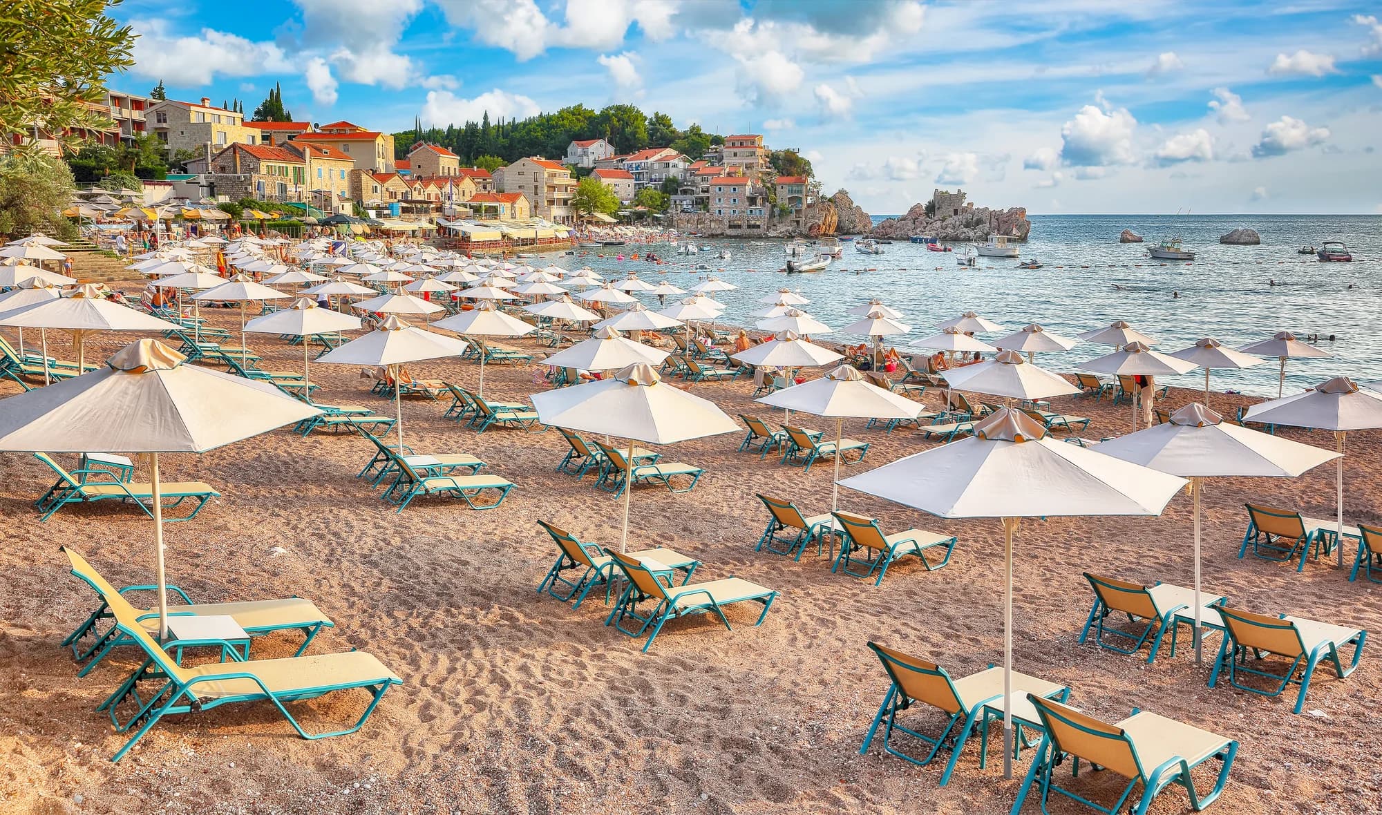 Pržno0.9 km Pržno0.9 km |  Queen's Beach1.4 km Queen's Beach1.4 km |
|---|---|---|---|---|
| Superficie | arena y guijarro fino | arena y guijarro fino | arena y guijarro fino | arena y guijarro fino |
| Entrada | suave | suave | suave | suave |
| Profundidad | poco profunda | poco profunda | poco profunda | poco profunda |
| Sombra | sombrillas de alquiler | sombrillas de alquiler | sombrillas de alquiler | árboles y sombrillas — difiere |
| Carácter | organizada | organizada | organizada | organizada |
| Longitud | 0.3–0.3 km | 1.9–2 km — difiere | 0.1–0.3 km — difiere | 0.1–0.2 km — difiere |
| Última muestra | Excelente | Excelente | Excelente | —sin punto de muestreo oficial — difiere |
| Afluencia | concurrida en temporada | concurrida en temporada | concurrida en temporada | tranquilidad — difiere |
| Cómo llegar | en coche | en coche | en coche | en coche |
Dónde dormir cerca de Kamenovo — Budva, a 4.2 km
Todos los alojamientos en Budva →


La guía completa
Leer la guía de Kamenovo
Todo lo anterior es la versión corta. La guía tiene las fuentes, los códigos de sector, las fechas de muestreo y lo que cambia dentro de una temporada.
Preguntas
- ¿Cómo llego a Kamenovo a pie?
- Desde el amarradero de Rafailovići, hacia el este por la orilla, pasando la roca estratificada del Cabo Đevištenje, luego por el sendero de hormigón bajo el acantilado y a través del túnel iluminado — unos diez minutos. Dé la vuelta si hay barreras puestas tras lluvia fuerte.
- ¿Hay parte gratuita en Kamenovo?
- Sí. Ambos sectores son playas de gestión pública, así que la mitad de la longitud debe permanecer libre de mobiliario, con una franja de tres metros junto al agua y un pasillo de acceso cada veinte metros. Siga la distribución señalizada del día.
- ¿Tiene Kamenovo Bandera Azul?
- Ambos sectores, 17A y 17B La Suerte, figuran en la lista oficial de 2024. El galardón es anual — compruebe la bandera en la playa o el mapa internacional para la temporada en curso.
Fuentes
- Government of Montenegro planning assessment for the Kamenovo bay (wapi.gov.me)
- Morsko Dobro — Budva register of bathing areas, public calls and the bathing-water monitor
- Official Blue Flag recipient list 2024
- Budva Tourism (budva.travel) — local bus routes
- OpenStreetMap — beach way 56213868, tunnel way 113573070