Montenegro · Budva riviera
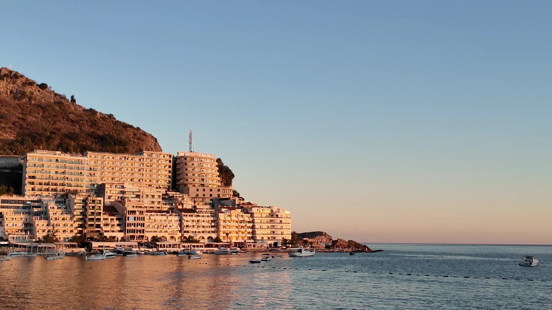
The fishing end of the Bečići strand — a 65-metre mooring, a quay of fish restaurants, and a village that quadrupled in twenty years, where the promenade turns into a tunnel through the rock towards Kamenovo.
Rafailovići is the eastern end of the Bečići strand, 4 km from Budva along the shore: a settlement of 875 people at the 2023 census that was a fishing hamlet of stone houses, one of the three brotherhoods — Bečići, Rafailovići and Čučuci — whose names the beach still carries. The long sandy half of the beach belongs to Bečići and its resort hotels; Rafailovići is where the waterfront narrows around a small mooring, the pebbles take over, and the restaurants face the boats. Morsko Dobro’s 2025 plan for ports and moorings lists it as a commercial and communal mooring with 65 metres of operational shore and space for landing and selling the catch — a designation and a heritage, not a promise that tonight’s fish came in on the boat outside, so ask the species, origin and price per kilo before it reaches the grill. The village has changed faster than anywhere else on this coast. It counted 76 people in 1948, 197 in 2003 and 875 in 2023, and every fourth resident at the last census was Russian or Ukrainian; the stone houses have become apartment blocks, hotels and a terraced complex on the headland that turns orange at sunset. What has not changed is the geography: a compact waterfront where restaurant terraces, moored craft and summer foot traffic share a few hundred metres of shore, beach sectors with their own operators and posted rules, and the layered rock of Cape Đevištenje at the end of the sand. East of the rock the promenade stops being a promenade. A concrete path runs under the cliff and through a lit pedestrian tunnel in the rock to Kamenovo beach, ten minutes on foot — the point where the Budva riviera becomes a coast, and the best start for the eastern half of the Seven Bays walk to Pržno, the Miločer park and Sveti Stefan. Local buses towards Petrovac and Sveti Stefan stop on the main road above the village; Budva is a 4 km walk or a short bus ride west, and Tivat airport is 24 km away.
Photographs: Montenegro.com

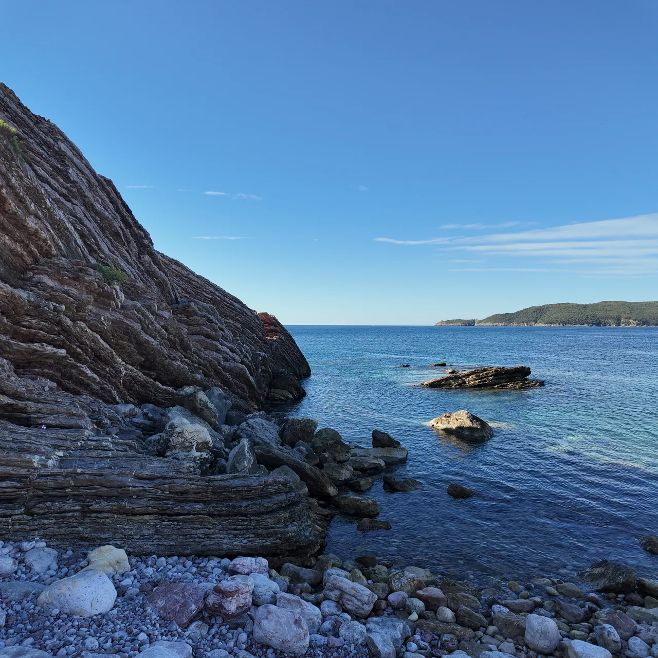
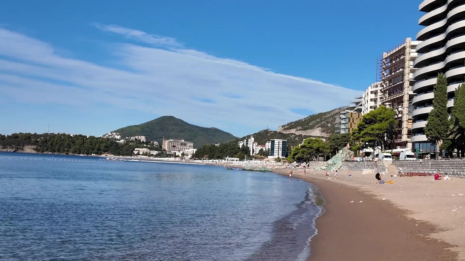
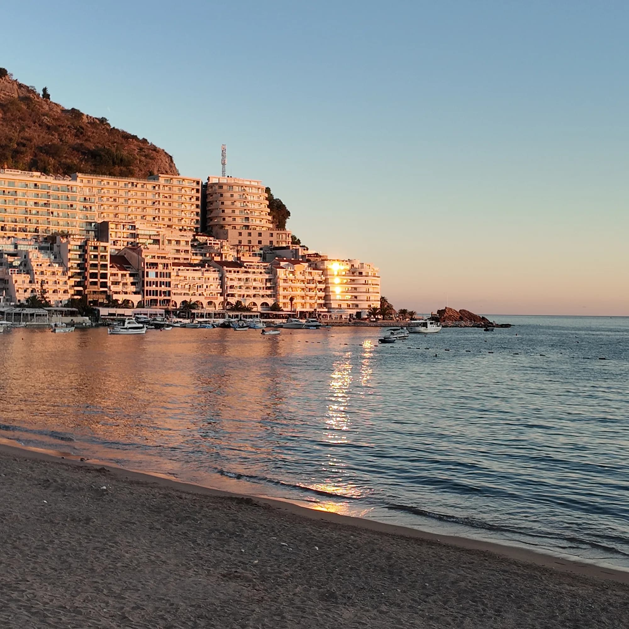
The terraced block on the headland from the beach at Rafailovići, the sea going pink at sunset
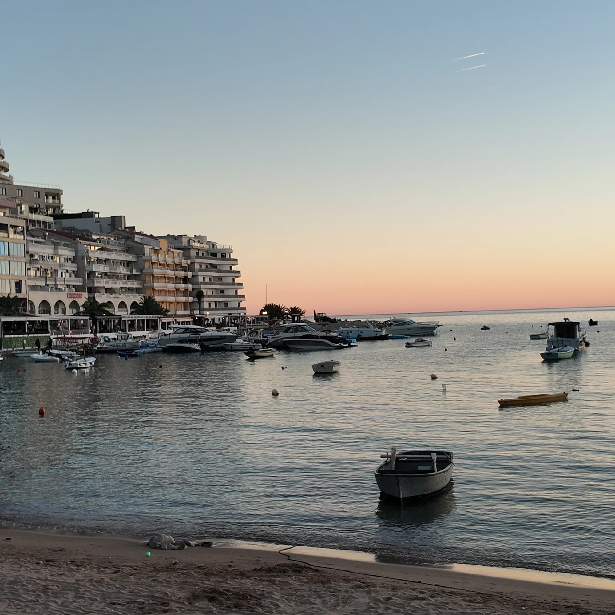
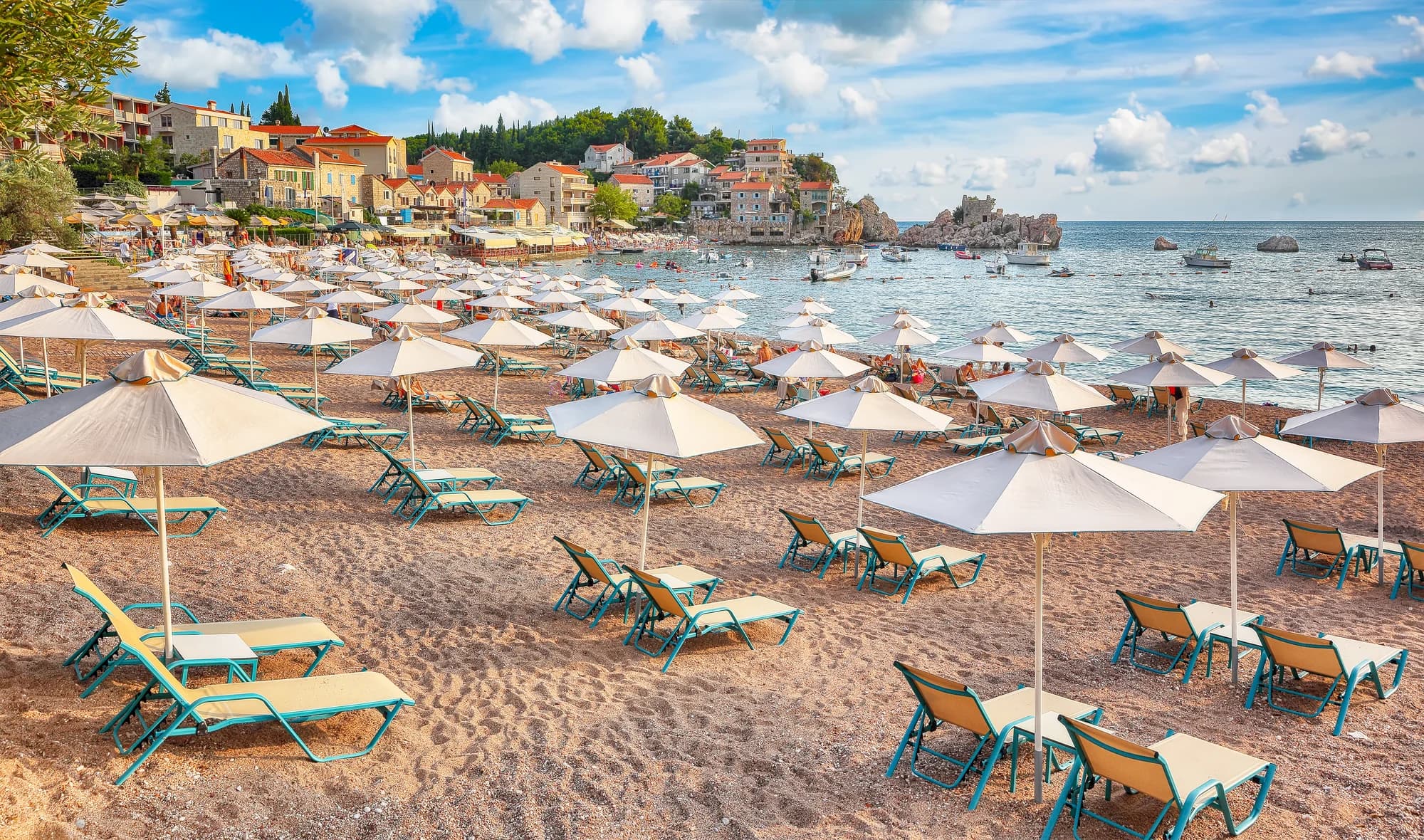
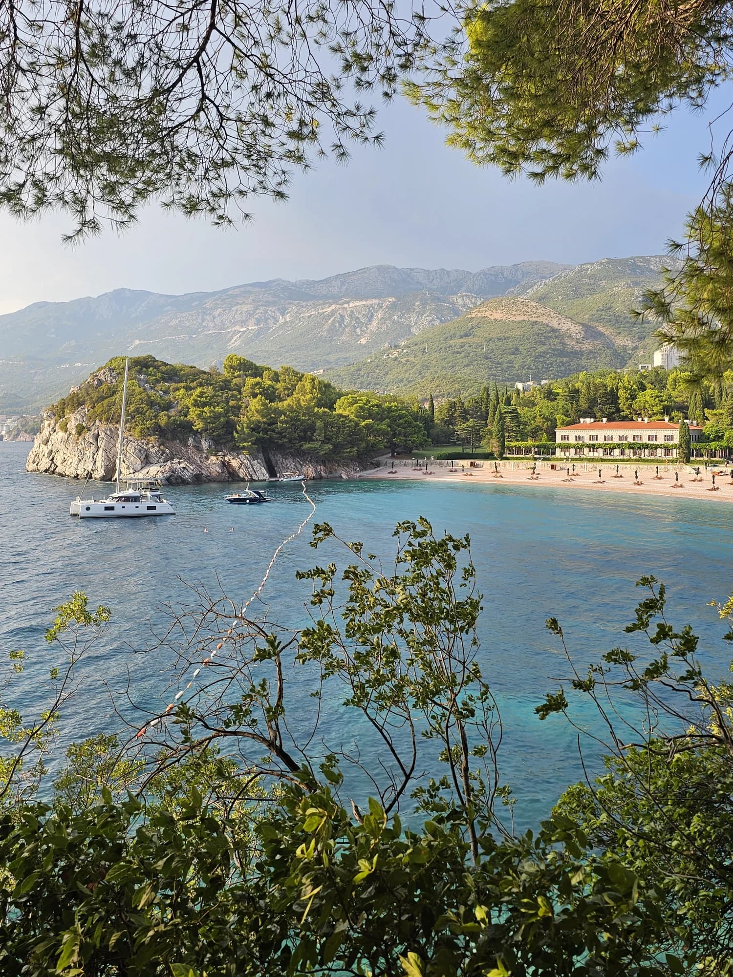
Boats on their moorings at Rafailovići at dusk, the village lights coming on behind them
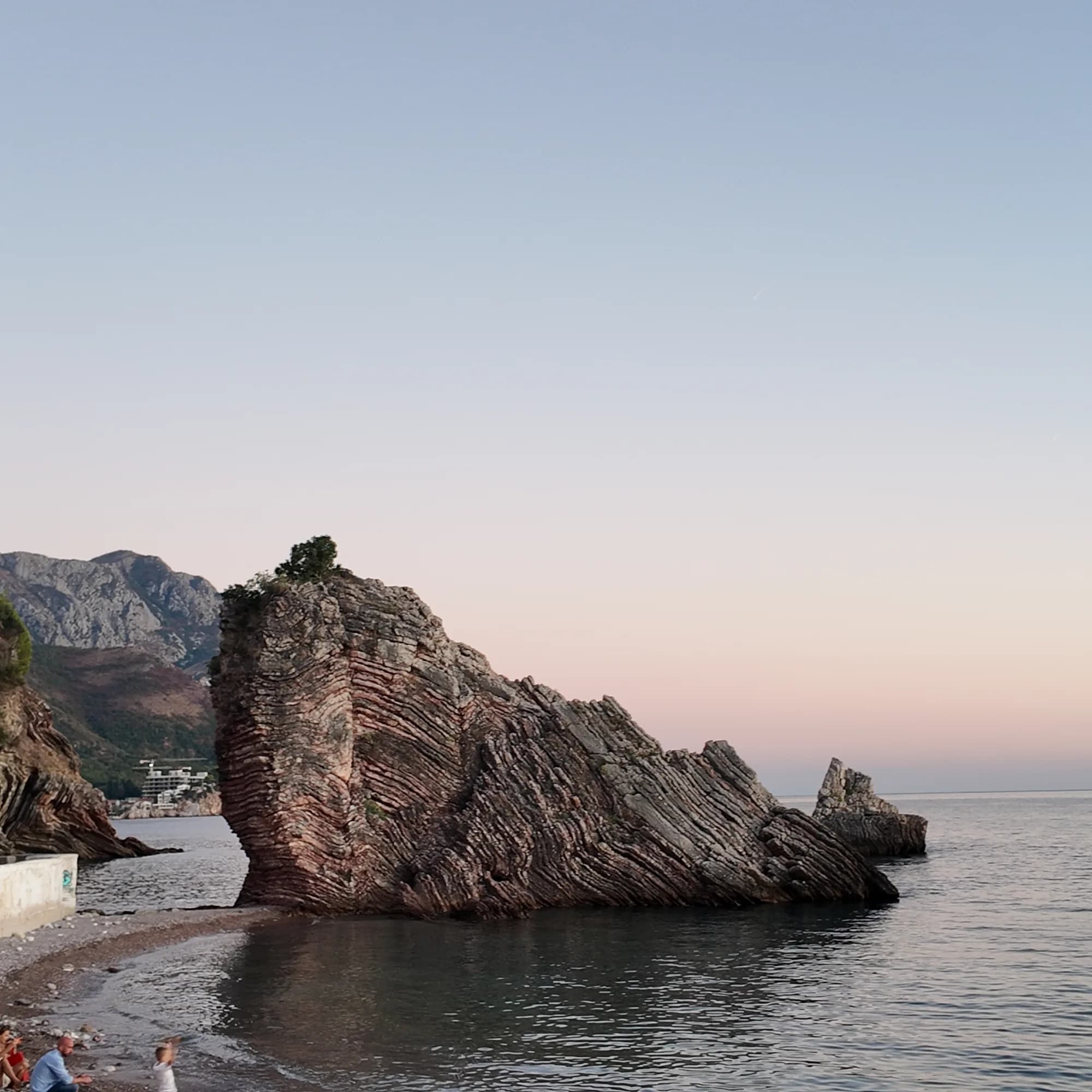
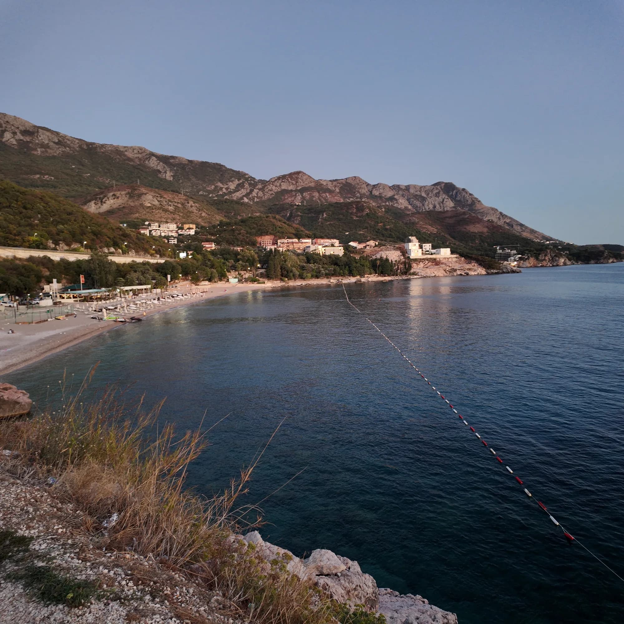
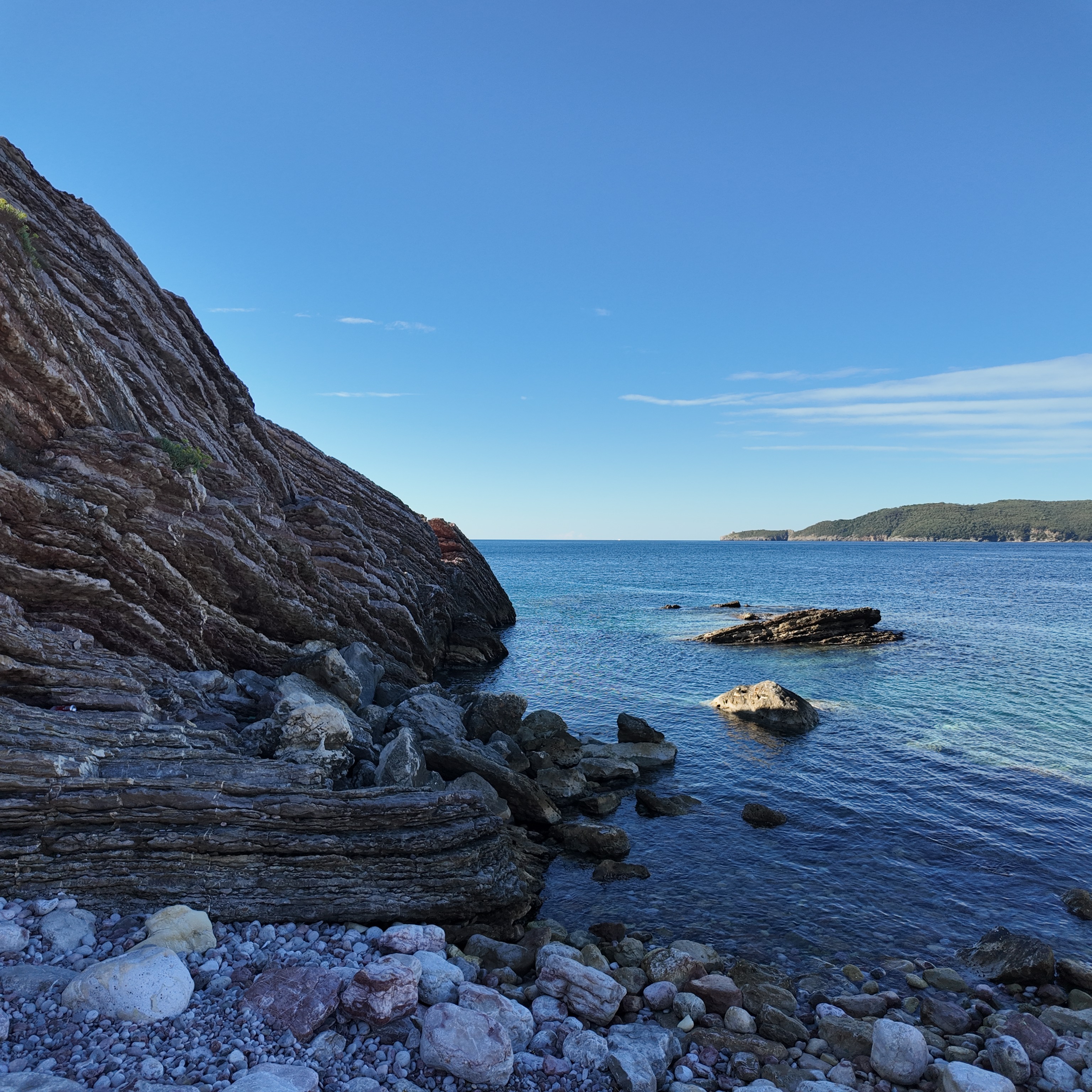
The rock of Cape Đevištenje in silhouette against the afterglow, small waves on the pebbles
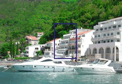
The Rafailovići mooring in the morning, boats on the calm water below the village
Footage: Montenegro.com, CC BY 4.0
Full-size photo
3072 × 3072 · JPEG · DJI Osmo Pocket 3
Straight from the camera, as shot — use it as you like.
Download the full-size JPEG (3072 × 3072, 2 MB)Video
1920 × 1080 · MP4 · 21 s · DJI Osmo Pocket 3
A 21-second pan across the folded rock of the cape in morning light, silent, 1080p.
Download the MP4 (13 MB)Original recording, photograph and video by Montenegro.com, licensed CC BY 4.0: free to share and adapt, with credit to Montenegro.com. Using them commercially? Please credit Montenegro.com and link back to this page.

The small harbour at the centre of the village — a 65 m operational shore in the 2025 Morsko Dobro plan, designated a commercial and communal mooring with space for landing and selling the catch, and the fish restaurants that face it.
Open in Google Maps
The layered rock at the eastern end of the strand, standing in the sea beside the coastal path — the point where the Bečići beach ends and the coast to Kamenovo begins.
Open in Google Maps
A few hours
Two hours that hold the whole village: a harbour, a rock, a tunnel and a table. Ask the species, origin and price per kilo before the fish reaches the grill.
One full day
The quay
Best for rooms above the mooring and the fish restaurants — shortest walk to the water, the most evening noise
The Rafailovići end of the strand
Best for hotels and apartments behind the beach sectors 15D and 16A, with the tunnel walk to Kamenovo at the door
Bečići, 1 km west
Best for the big resort hotels and the wider, sandier half of the same beach
Pržno and Sveti Stefan, 2–3 km east
Best for a smaller village scale and the island view, at hillside gradients instead of waterfront crowds
1 accommodation in Rafailovići
The Budva riviera by residents
Census settlements, 2023 — Rafailovići against its neighbours
Rafailovići now holds more people than Sveti Stefan, Pržno and Zavala together; only Bečići, the other half of the strand, and Budva’s own quarters are larger.
Who visits Montenegro
Share of foreign overnight stays, 2025
MONSTAT · 2025
Census population, Rafailovići municipality
Every fourth resident counted in 2023 was Russian or Ukrainian — 21.9 % and 5.0 % — beside 42.5 % Serbs and 20.0 % Montenegrins. The 875 are the people of a resort, not of the fishing hamlet that had 76 in 1948.
Rafailovići’s dated history is that of the Paštrovići coast — Venetian, then Austrian — with the village itself recorded as a brotherhood, a fishing hamlet, and only since the 1950s as a place people come to stay.
Wikipedia (sr, hr) · MONSTAT 2023 · Borba (the 1958 report) · Budva Tourism · Morsko Dobro 2025 plan of ports, moorings and anchorages. Sveti Stefan’s 1442 from our Seven Bays walk sources.
A day at the fishing end
Summer, as the quay and the beach sectors run it
Meanwhile, in 1935
Paris, 1935: a jury awards the Bečići strand — Rafailovići is its eastern end — a Grand Prix as the most beautiful beach in Europe; the resorts came decades later, the sand is the same.
Miločer — two headlands east, the Karađorđević summer villas begun in 1934 are still being built among the cedars.
Rafailovići: a hamlet of stone houses fishing the same water — 76 people would be counted here in 1948, the first census after the war.
“Jedno su od tri bratstva koje čine Bečiće: Bečići, Rafailovića i Čečuci.”
Croatian Wikipedia on Rafailovići — the three brotherhoods that make up Bečići
Bečići, Rafailovići and Čučuci were kin-groups before they were beaches: the settlement names on the strand are family names. MONSTAT still lists Čučuci as a settlement in 2023 — with no one left in it.
“Land of thirteen Rafailović families at Cape Zavala was nationalised in 1958.”
Borba, on the end of the Zavala property dispute (press report)
Zavala is the western headland of the same strand. The families’ claim ran for decades; the report is the only source we have for the 1958 date, so it is given as a press report, not as a verified record.
Search thousands of hotels and apartments with live prices.
We may earn a commission from partner links. This helps us keep Montenegro.com free for travelers.
Search hotels, apartments and guest houses with live availability.
We may earn a commission from partner links. This helps us keep Montenegro.com free for travelers.
On the Budva riviera, 4 km east of Budva, at the eastern end of the Bečići strand below Cape Đevištenje. Bečići is the western half of the same beach; east of the village the coastal path passes through a tunnel to Kamenovo and on to Pržno and Sveti Stefan.
It has a fishing heritage and a working mooring: the 2025 Morsko Dobro plan lists it as a commercial and communal mooring with 65 m of operational shore and space for landing and selling the catch. What it is today is a resort settlement of 875 people with fish restaurants on the quay — whether tonight’s fish came in on the boat outside is a separate question, so ask.
875 at the 2023 census, up from 197 in 2003 and 76 in 1948. Every fourth resident counted in 2023 was Russian or Ukrainian; 42.5 % were Serbs and 20 % Montenegrins.
On foot in about ten minutes: east along the shore past the rock of Đevištenje, then along the concrete path under the cliff and through a lit pedestrian tunnel in the rock. The path is exposed to rockfall and wet surfaces — turn back if barriers are up after heavy rain, and keep the bus on the highway as a return option.
The local plate
The restaurants along the mooring sell fish by weight, grilled, with blitva and potatoes. The 2025 plan reserves space on the quay for landing and selling the catch, but that is a designation, not proof that tonight’s fish came in on the boat outside — so ask the species, whether it was caught or farmed, the weight before cooking and the price per kilo.
Where Porat, Tri Ribara, Obala and Aleksandar on the Rafailovići quay
The nearest places to Rafailovići, at their true positions — Virpazar is about 17 km away in a straight line.
Schematic. Positions and straight-line distances from the coordinates we hold for each place; mountain roads make the drive longer. Coastline and Lake Skadar © OpenStreetMap contributors.
Rafailovići in numbers
2023 census — 197 in 2003 and 76 in 1948; the village has grown more than fourfold in twenty years
the Bečići strand, of which Rafailovići is the eastern end below Cape Đevištenje; Budva Tourism gives about 2,000 m and 99,000 m²
of operational shore in the 2025 Morsko Dobro plan, which lists Rafailovići as a commercial and communal mooring with space for landing and selling the catch
to Budva along the shore; east, the path passes through a pedestrian tunnel in the rock to Kamenovo beach in ten minutes
Tivat, by way of Budva; local buses towards Petrovac and Sveti Stefan stop on the main road above the village
MONSTAT, Popis 2023 · Wikipedia (sr, hr) · Morsko Dobro, plan of ports, moorings and anchorages 2025 · Budva Tourism (budva.travel) · OpenStreetMap
Best time: May · June · September
| Place | By road | Driving |
|---|---|---|
| Kamenovo | 1.6 km | about 4 min |
| Bečići | 1.7 km | about 3 min |
| Miločer | 2.8 km | about 5 min |
| Budva | 4.7 km | about 8 min |
| Kotor | 25.5 km | about 34 min |
| Podgorica | 63.3 km | about 1 h 21 min |
| Žabljak | 162.7 km | about 3 h 18 min |
Road distances routed over OpenStreetMap data, © OpenStreetMap contributors. Driving times are free-flow and take no account of summer traffic or a queue at the ferry ramp.
The strand is divided into managed sectors — the Rafailovići entries in the Budva register include 15D and 16A — and Montenegro’s public-beach rules require half of each public sector’s length to stay free of furniture, with a 3 m strip along the water. Read the sector board for the operator, tariff and the marked free area.
Rafailovići is a stop on the local Budva–Petrovac and Budva–Sveti Stefan routes; the stop is on the main road above the village. Check Budva Tourism’s live transport page on the day, and confirm the return side of the road with the driver. Tivat airport is 24 km away by way of Budva.
Rafailovići if you want the quay, the fish restaurants and the tunnel walk to Kamenovo at the door, and accept evening noise on a compact waterfront. Bečići if you want the big resort hotels and the wider, sandier half of the same beach. Pržno and Sveti Stefan, 2–3 km east, trade waterfront crowds for hillside gradients.
No — the nearest is Tivat Airport (TIV), 24 km away by road.
From about 13 °C in February to 25 °C in August. It holds above 22 °C from June to September, which is the swimming season. Regional normals from the Bar station, not a city-precise reading.
1.6 km by road, about 4 min by car.
The UK Foreign, Commonwealth & Development Office (FCDO) has no advisory against travel to Montenegro; it last reviewed its guidance on 13 August 2026. That is their assessment of the country as a whole, not ours and not a judgement about Rafailovići, so read it yourself before you travel. The emergency number in Montenegro is 112.
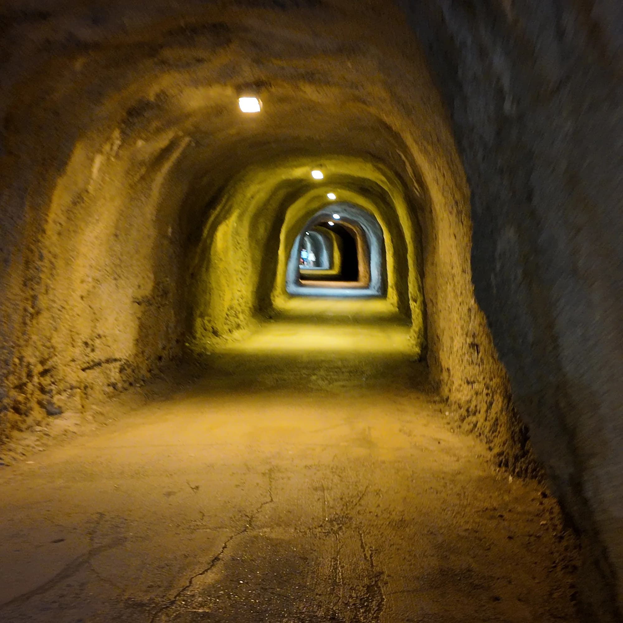
A lit pedestrian tunnel through the rock on the coastal path east of the village, about ten minutes on foot from the mooring to Kamenovo beach; exposed to rockfall and wet surfaces, so turn back if barriers are up.
Open in Google MapsRafailovići is the best start for the eastern half of the walk: the tunnel is the point where the riviera stops being a promenade and becomes a coast.