Montenegro · Budva riviera
A 340-metre arc of sand and fine pebble between Rafailovići and Pržno, reached on foot through a tunnel in the rock — a managed beach with seven “Excellent” water results in 2026, not a secret cove, and better for it.
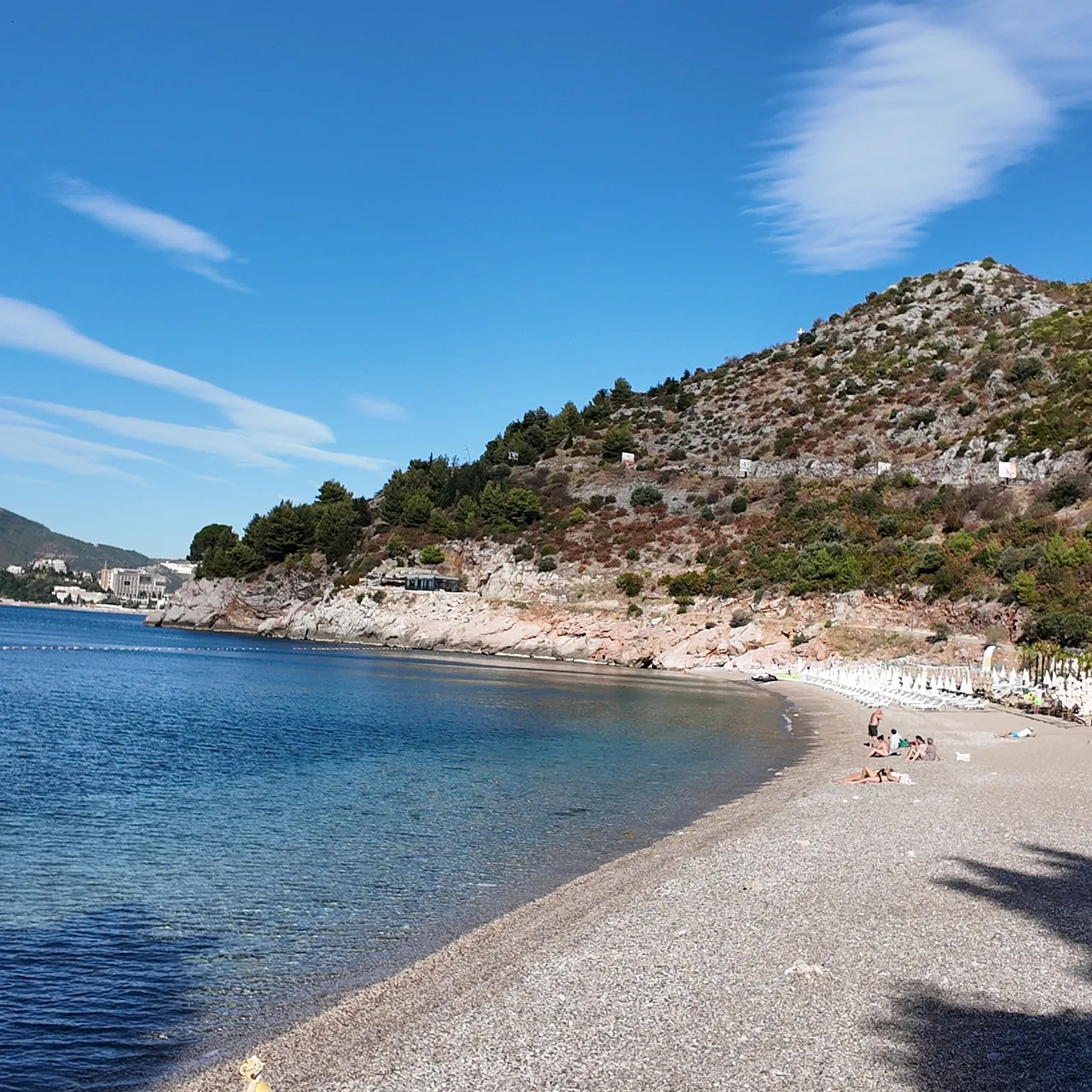
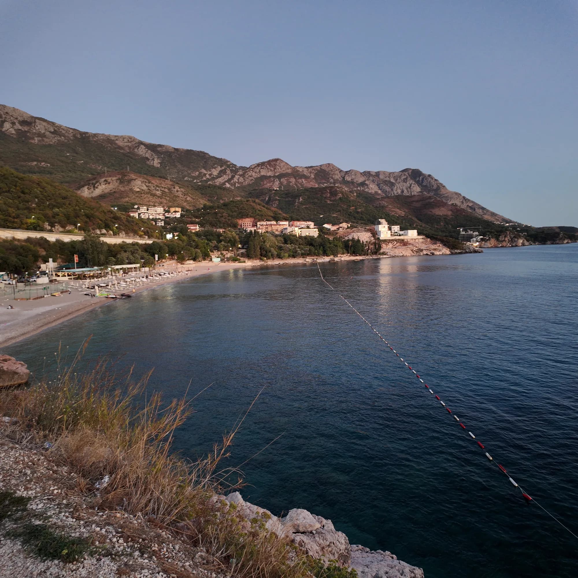
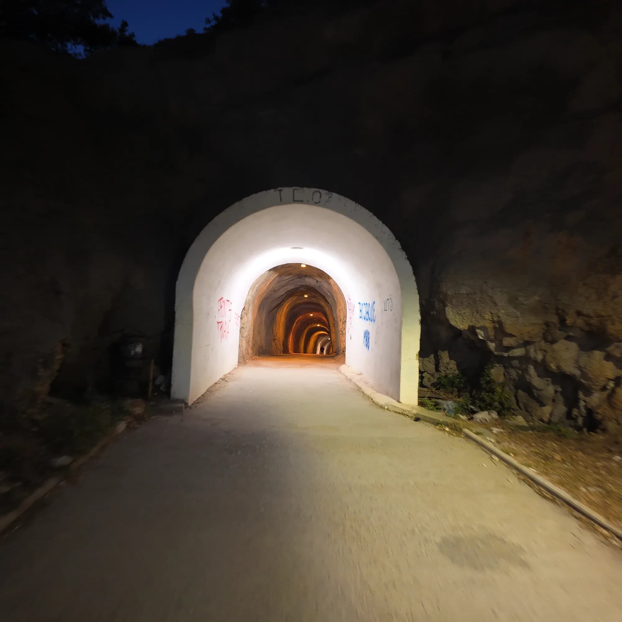
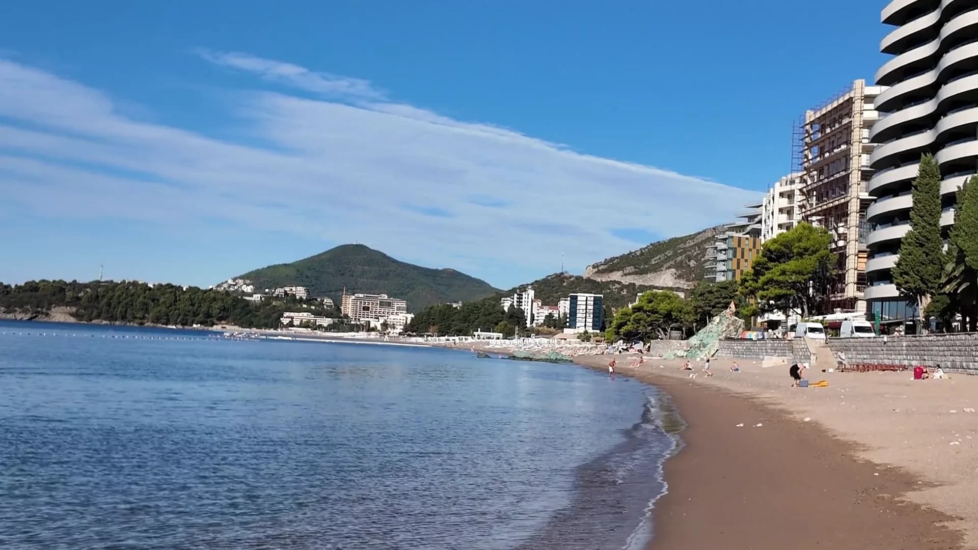
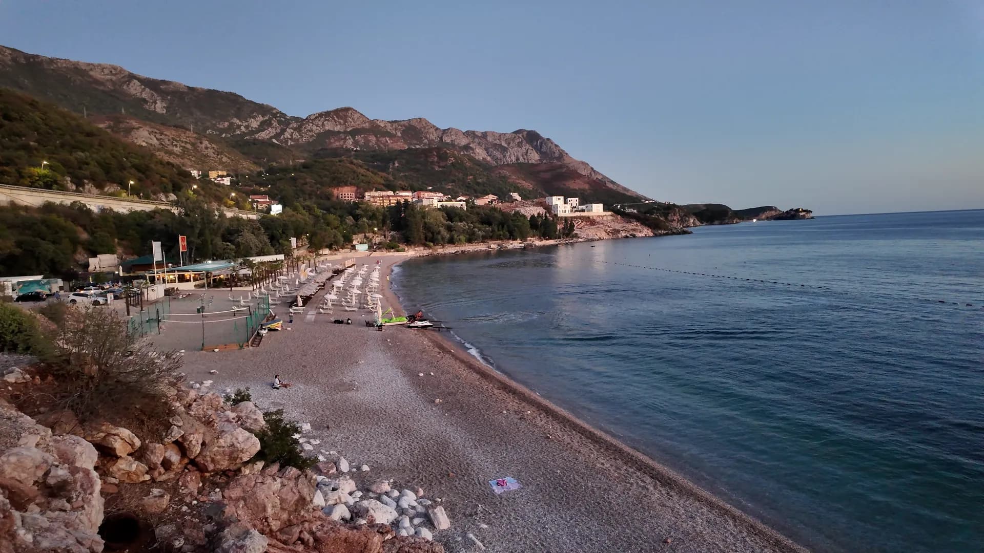
Kamenovo is a beach, not a village — MONSTAT’s 2023 settlement table lists it under Budva with no residents — and it is the bay the Budva riviera turns into once the Bečići strand ends. A broad arc of mixed sand and fine pebble, about 330–350 metres long depending on which page of the state planning assessment you read, lies between Rafailovići and Pržno under bare hills and the Adriatic highway, with open views towards Sveti Stefan. Most people arrive on foot: from the Rafailovići mooring a concrete path runs under the cliff and through a lit pedestrian tunnel in the rock, ten minutes to the sand. It is a managed beach, and better for it. Morsko Dobro’s Budva register lists two public-party sectors, 17A at 147 metres and 17B “La Suerte” at 158 metres, both on the official 2024 Blue Flag list and both bound by the public-beach rules: half the length free of furniture, a three-metre strip along the water, an access lane every twenty metres. The bathing-water monitor recorded seven samples at Kamenovo in 2026, from 26 May to 18 August, and classified every one of them Excellent — a result for its date, not a forecast, so read the newest one on the day and look at the flag on the beach. The grounds of a former holiday camp behind the shore explain why the hillside still reads as green from the water while the bay stays part of a planned tourism corridor; the assessment also records the pressure the highway has put on the beach’s own sediment. For the rest of the day the geography does the work. The Budva–Petrovac and Budva–Sveti Stefan buses stop on the highway above the bay; the Seven Bays walk continues east round Rt Pržno to Pržno village, the Miločer park and the Sveti Stefan viewpoint; Rafailovići, ten minutes back through the tunnel, has the nearest beds and the fish restaurants on its quay. Tivat airport is 25 km away.
Photographs: Montenegro.com
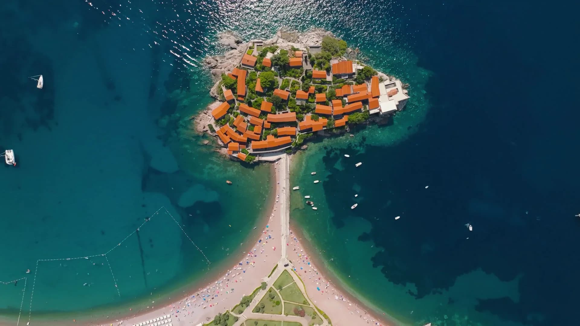
A slow pan across Kamenovo bay from the path above the beach, the buoy line and the hills of Pržno
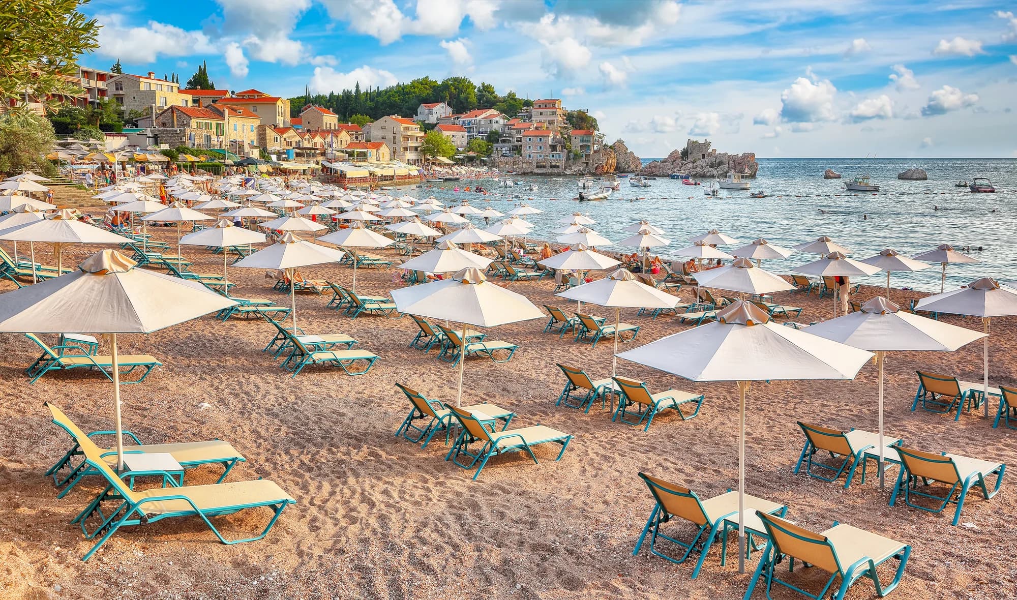
Through the tunnel in the rock from Rafailovići, the light of Kamenovo at the far end
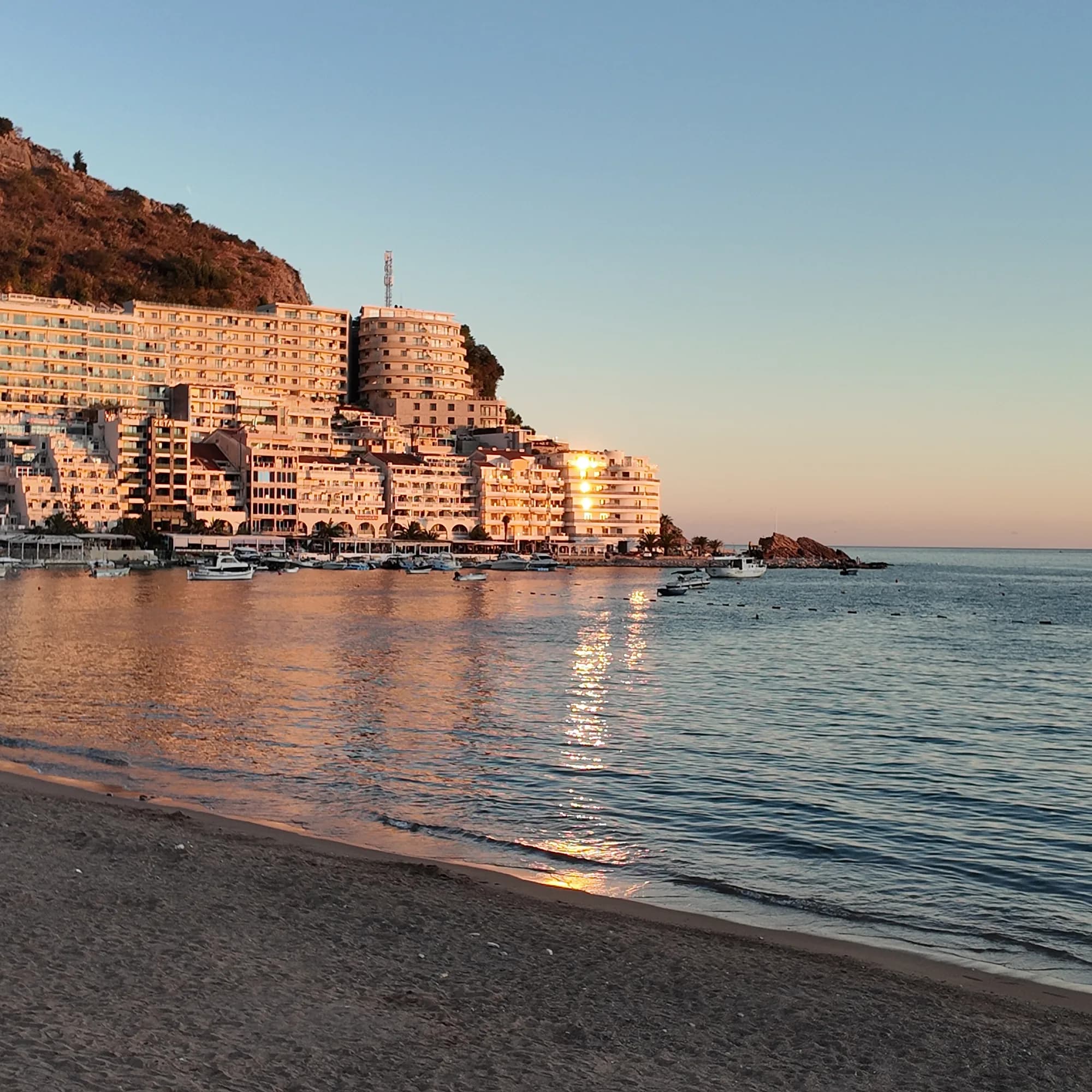
Kamenovo at dusk: the last light on the sea, the lights of Pržno coming on across the bay
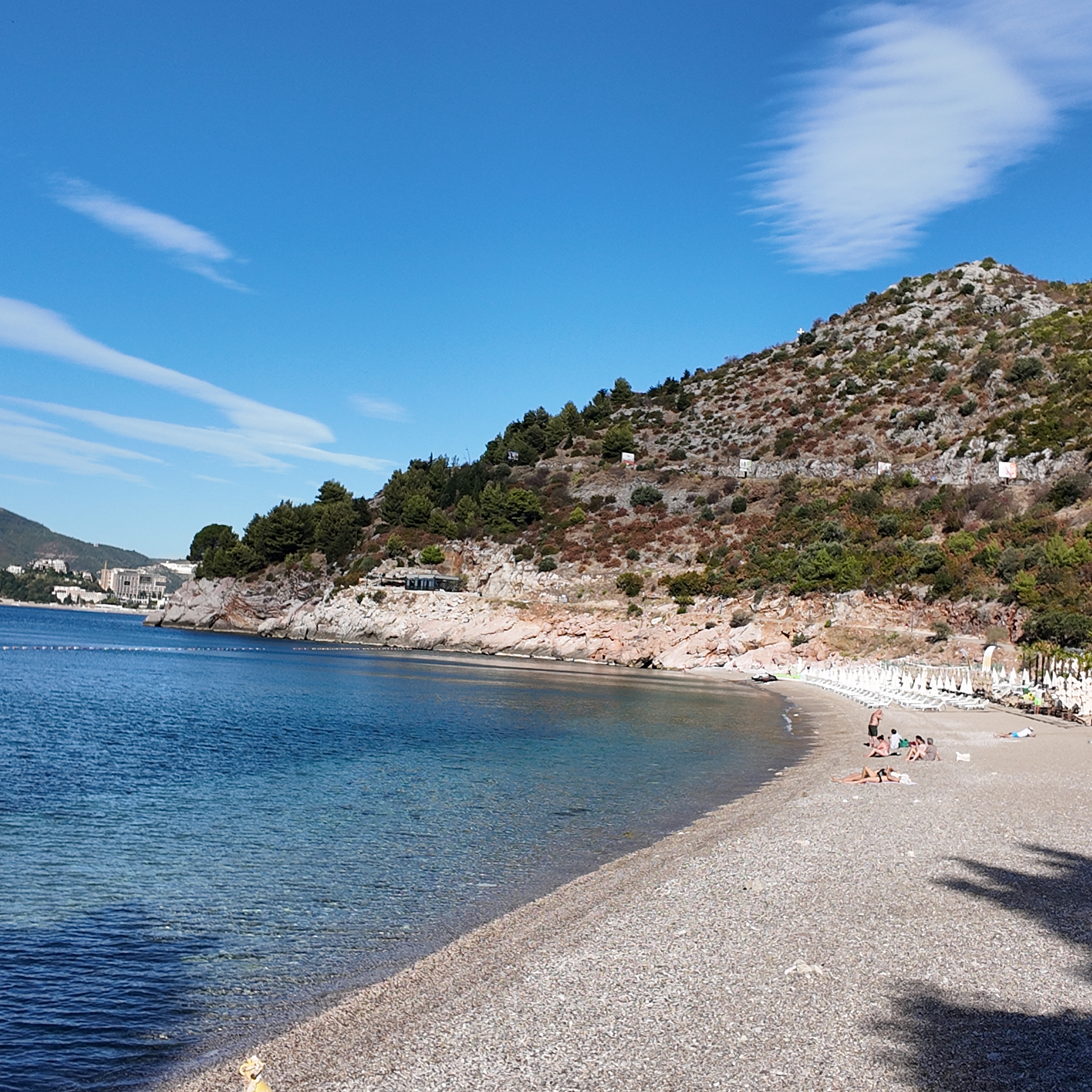
The rocky cove at the western end of Kamenovo in the morning, boulders in clear shallow water
Footage: Montenegro.com, CC BY 4.0
Full-size photo
3072 × 3072 · JPEG · DJI Osmo Pocket 3
Straight from the camera, as shot — use it as you like.
Download the full-size JPEG (3072 × 3072, 2 MB)Video
1920 × 1080 · MP4 · 22 s · DJI Osmo Pocket 3
A 22-second pan across the whole bay from the coastal path on the Rafailovići side, silent, 1080p.
Download the MP4 (14 MB)Original recording, photograph and video by Montenegro.com, licensed CC BY 4.0: free to share and adapt, with credit to Montenegro.com. Using them commercially? Please credit Montenegro.com and link back to this page.

A 330–350 m arc of mixed sand and fine pebble in its own bay between Rafailovići and Pržno, in two public-party sectors (17A, 17B) with seven “Excellent” bathing-water results in 2026 and both sectors on the official 2024 Blue Flag list.
Open in Google Maps
The pedestrian tunnel in the rock on the coastal path from the Rafailovići mooring — the way most people arrive on foot, lit at night.
Open in Google MapsThe cape closing the bay to the east, with the Seven Bays walk continuing round it to Pržno village, the Miločer park and the Sveti Stefan viewpoint.
A few hours
The best two hours on the riviera for the least effort: a tunnel, a bay, a swim. Keep a return that does not depend on the coastal path if the weather turns.
One full day
Rafailovići, 10 minutes west
Best for the nearest beds — the mooring, the fish restaurants and the tunnel walk at the door
Bečići, 2 km west
Best for the resort hotels and the long strand; Kamenovo as the quieter day out
Pržno, one bay east
Best for a small village front and the Miločer park; hillside gradients instead of waterfront crowds
Above the highway
Best for apartments in the Divanovići and Kamenovo hamlets with the bay below — a steep walk down and a bus stop on the road
Beaches of the Budva riviera, by length
Metres of shore — Kamenovo at its assessed midpoint
Kamenovo is a sixth of the Bečići strand next door — small enough that the two managed sectors account for nearly all of it, which is why the free-furniture rule matters here more than on the long beaches.
Who visits Montenegro
Share of foreign overnight stays, 2025
MONSTAT · 2025
Kamenovo has no village history of its own: the dated record is the resort that stood here, the highway above it, and the paperwork that now runs the beach.
State planning assessment (wapi.gov.me) · Morsko Dobro register, contracts and monitor · official Blue Flag list 2024 · our Seven Bays walk sources for Miločer.
A beach day at Kamenovo
Summer, by the sectors’ own hours
Meanwhile, in 2024
Kamenovo, 2024: the official Blue Flag list names 17A and 17B La Suerte — the whole beach, both concessions.
The rules — the same programme fixes 17A at 147 m and 5,580 m² for 2024–2028, with an open bar and terrace permitted and half the length kept free of furniture.
The path: the tunnel from Rafailovići stays the way most people arrive, on foot, ten minutes from the mooring.
Search thousands of hotels and apartments with live prices.
We may earn a commission from partner links. This helps us keep Montenegro.com free for travelers.
Search hotels, apartments and guest houses with live availability.
We may earn a commission from partner links. This helps us keep Montenegro.com free for travelers.
Between Rafailovići and Pržno on the Budva riviera, in its own bay below the Adriatic highway. On foot it is ten minutes from the Rafailovići mooring through a tunnel in the rock; by bus, the Budva–Petrovac and Budva–Sveti Stefan routes stop on the highway above the beach.
About 330–350 m — the state planning assessment gives both figures on different pages. It is a broad arc of mixed sand and fine pebble; the two managed sectors, 17A (147 m) and 17B (158 m), account for nearly all of it.
No. MONSTAT lists Kamenovo as a settlement of Budva municipality with no residents; the nearest hamlets, Kamenovo and Divanovići, sit above the highway. The beach, its bar and the bay are what the name means to visitors.
Every official 2026 sample at the Kamenovo monitoring point — seven of them, 26 May to 18 August — was classified Excellent, the last at a sea temperature of 26.1 °C. A laboratory result describes the sampled water on its date; open the Morsko Dobro monitor for the newest dated result and look at the flag on the beach.
The nearest places to Kamenovo, at their true positions — Virpazar is about 16 km away in a straight line.
Schematic. Positions and straight-line distances from the coordinates we hold for each place; mountain roads make the drive longer. Coastline and Lake Skadar © OpenStreetMap contributors.
Kamenovo in numbers
the state planning assessment gives both figures; mixed sand and fine pebble in a bay 17.96 ha wide, 7 of them land
every 2026 sample from 26 May to 18 August at the official Kamenovo monitoring point; 26.1 °C at the last one
17A (147 m) and 17B “La Suerte” (158 m), both public-party: half the length must stay free of furniture, with a 3 m strip at the water
both sectors on the official Blue Flag list — an annual award, so read the current map or the flag on the beach, not the operator’s “since 2016”
Budva–Petrovac and Budva–Sveti Stefan stop at Kamenovo on the highway above the bay; Tivat airport is 25 km
Government of Montenegro planning assessment (wapi.gov.me) · Morsko Dobro register, public calls and bathing-water monitor · official Blue Flag list 2024 · Budva Tourism (budva.travel) · OpenStreetMap
Best time: May · June · September
| Place | By road | Driving |
|---|---|---|
| Rafailovići | 1.6 km | about 4 min |
| Miločer | 2.1 km | about 5 min |
| Bečići | 3.2 km | about 6 min |
| Sveti Stefan | 4.9 km | about 11 min |
| Budva | 6.2 km | about 11 min |
| Kotor | 27 km | about 37 min |
| Podgorica | 65.4 km | about 1 h 23 min |
Road distances routed over OpenStreetMap data, © OpenStreetMap contributors. Driving times are free-flow and take no account of summer traffic or a queue at the ferry ramp.
Both sectors, 17A and 17B La Suerte, are on the official 2024 Blue Flag list. The award is annual, so “since 2016” on the operator’s signs is its own history, not a guarantee for this season — check the international map or the flag on the day.
No. Both sectors are public-party beaches, and the public-beach rules require half of the length to stay free of furniture, a 3 m furniture-free strip along the water and an access lane at least every 20 m. Follow the marked layout on the day rather than an old blog’s map, and read the tariff board before sitting down.
Do not count on it: the planning assessment recorded access and parking shortcomings, and capacity, tariffs and traffic control change by season. In July and August a bus, a taxi or the walk from Rafailovići removes the most uncertain part of the plan.
No — the nearest is Tivat Airport (TIV), 25 km away by road.
From about 13 °C in February to 25 °C in August. It holds above 22 °C from June to September, which is the swimming season. Regional normals from the Bar station, not a city-precise reading.
1.6 km by road, about 4 min by car.
The UK Foreign, Commonwealth & Development Office (FCDO) has no advisory against travel to Montenegro; it last reviewed its guidance on 13 August 2026. That is their assessment of the country as a whole, not ours and not a judgement about Kamenovo, so read it yourself before you travel. The emergency number in Montenegro is 112.
Kamenovo is the hinge of the walk: west of the tunnel the riviera is a promenade, east of it a coast.