The beach atlas
Pebble and rock
16 of the 39 beaches in the atlas.

Herceg Novi riviera
Žanjiceuvala Žanjic
A 300-metre white-pebble bay near the tip of Luštica, twenty minutes by boat from Herceg Novi and the departure point for the Blue Cave.
- Surface
- pebble
- Entry
- entry moderate
- Character
- organised
- Length
- 300 m

Herceg Novi riviera
Mirišta
The 200-metre pebble cove ten minutes along the coast path from Žanjice, under the Arza fort, with trees over the back of the beach and a fraction of the boats.
- Surface
- pebble
- Entry
- entry moderate
- Character
- organised and free sections
- Length
- 200 m

Herceg Novi riviera
Dobreč
A 100-metre pebble cove on the outer Luštica shore with no road to it: the boat from Herceg Novi is the only way in and the only way out.
- Surface
- pebble
- Entry
- entry moderate
- Character
- wild
- Length
- 100 m

Herceg Novi riviera
NjiviceKraljičina plaža
Montenegro’s last beach going west: rock, sand and concrete to swim from below a hamlet of 102 people, with Prevlaka and Croatia 4 km across the water.
- Surface
- rock
- Entry
- entry rocky
- Character
- organised and free sections
- Length
- 200 m

Herceg Novi riviera
Savina
The 200-metre pebble-and-concrete shore on the Pet Danica promenade below Savina monastery, twenty minutes’ walk east of Herceg Novi’s old town.
- Surface
- pebble
- Entry
- entry moderate
- Character
- organised and free sections
- Length
- 200 m

Bay of Kotor
Bajova KulaBajova kula
An organised 118-metre shingle beach at Dražin Vrt on the Kotor–Risan road, named for Bajo Pivljanin’s tower above it, with a stone swimming platform and the Boka wall across the water.
- Surface
- pebble
- Entry
- entry moderate
- Character
- organised
- Length
- 118 m

Bay of Kotor
Orahovac
Four pebble coves between stone jetties, the coldest and freshest sea in the bay — 24 parts per thousand of salt in late May 2026 — and Excellent at every official sampling.
- Surface
- pebble
- Entry
- entry moderate
- Character
- wild
- Length
- 150 m

Bay of Kotor
Stoliv
No beach at all — concrete platforms and pontoons on the captains’ waterfront of Donji Stoliv, facing Perast across flat water, with the chestnut woods of the upper village behind.
- Surface
- concrete platforms
- Entry
- entry steep
- Character
- wild
- Length
- 100 m

Bay of Kotor
Risan
Pebble coves either side of the harbour of the oldest town on the bay, with the Orjen peaks reflected in the flat water and a Roman mosaic of the god of sleep 300 m from the shore.
- Surface
- pebble
- Entry
- entry moderate
- Character
- wild
- Length
- 200 m

Herceg Novi riviera
Rose
A pebble shore and a working quay in the fishing village at the tip of Luštica, reached by the ferry from Herceg Novi rather than by road.
- Surface
- pebble
- Entry
- entry moderate
- Character
- wild
- Length
- 80–150 m

Herceg Novi riviera
Meljine BeachPlaža Lazure
A compact 30-metre public pebble beach beside Lazure marina, with clear buoyed water and the mountains of the inner bay rising behind it.
- Surface
- pebble
- Entry
- entry gentle
- Character
- organised
- Length
- 30 m

Bay of Kotor
Lipci
A strip of pebbles and flat rocks below the prehistoric deer of Lipci, reached by a narrow concrete path, with clear water deep enough to dive into and nothing else at all.
- Surface
- pebble
- Entry
- entry rocky
- Character
- wild
- Length
- 20–50 m

Bay of Kotor
Ljuta
A concrete bathing platform on the Dobrota shore road beside the mouth of a 200-metre river that comes out of the mountain at 7 °C — the coldest swim in the bay.
- Surface
- concrete platforms
- Entry
- entry steep
- Character
- wild
- Length
- 10–30 m
Bar riviera
Žukotrlica
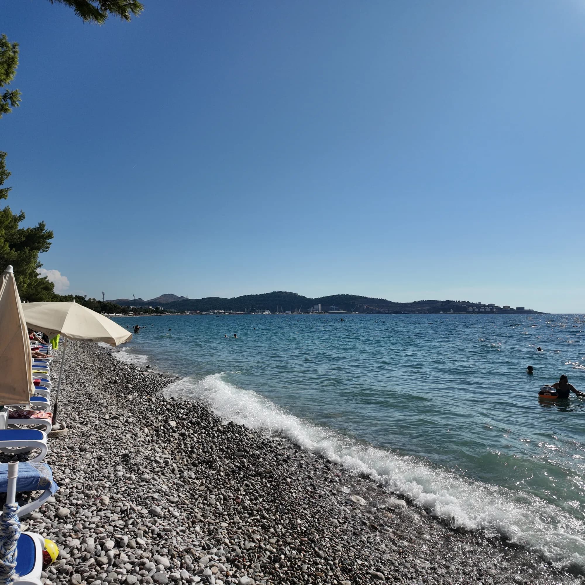
A kilometre of pebbles under mature Aleppo pines at the northern end of Bar’s seafront, the start of the 3.6 km King’s Promenade and the town beach locals use.
- Surface
- pebble
- Entry
- entry moderate
- Character
- organised and free sections
- Length
- 1000 m
Bar riviera
Veliki PijesakVeliki pijesak, Dobra Voda
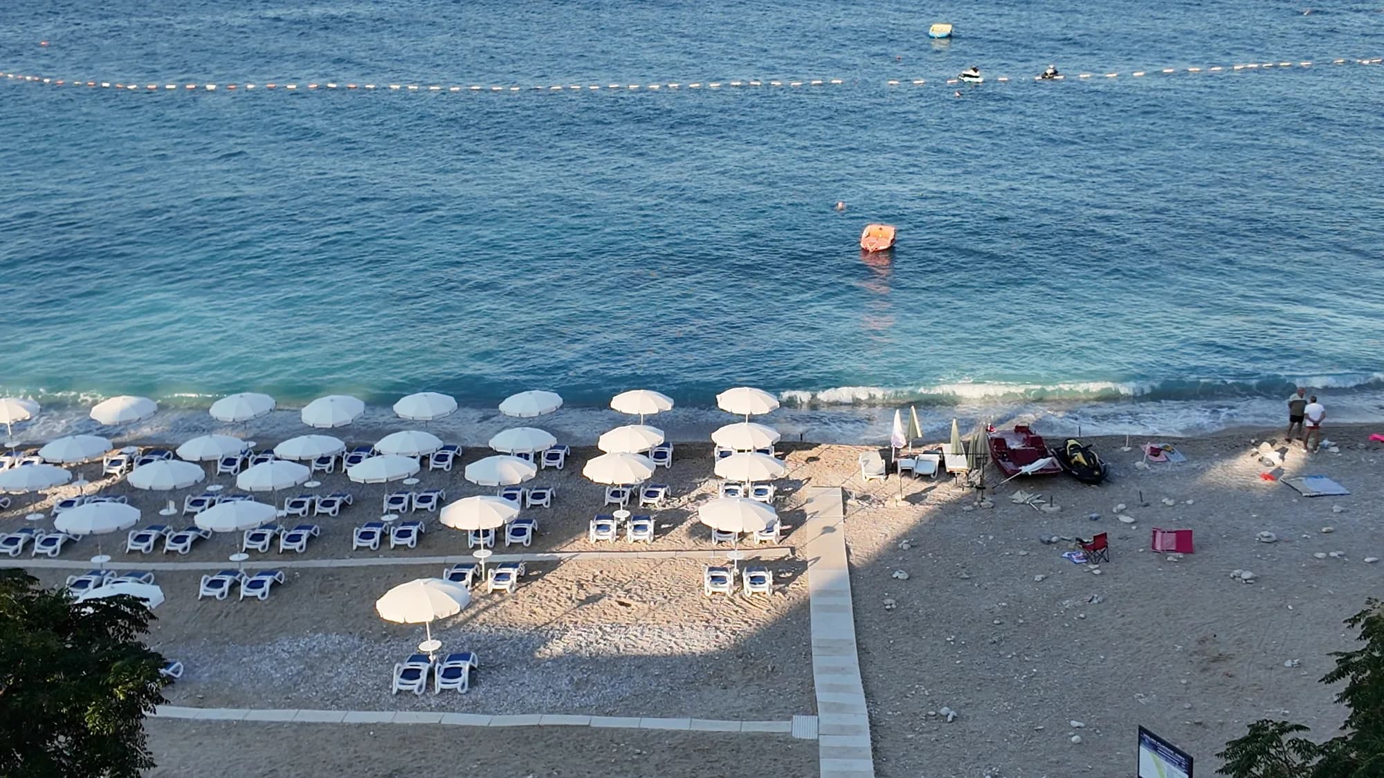
An arc of 380–480 m of shingle with sandy patches, an islet 23 m offshore, and a sunset that lands on open water in every month of the year.
- Surface
- pebble
- Entry
- entry moderate
- Character
- organised
- Length
- 380–480 m
Ulcinj riviera
Women's BeachŽenska plaža
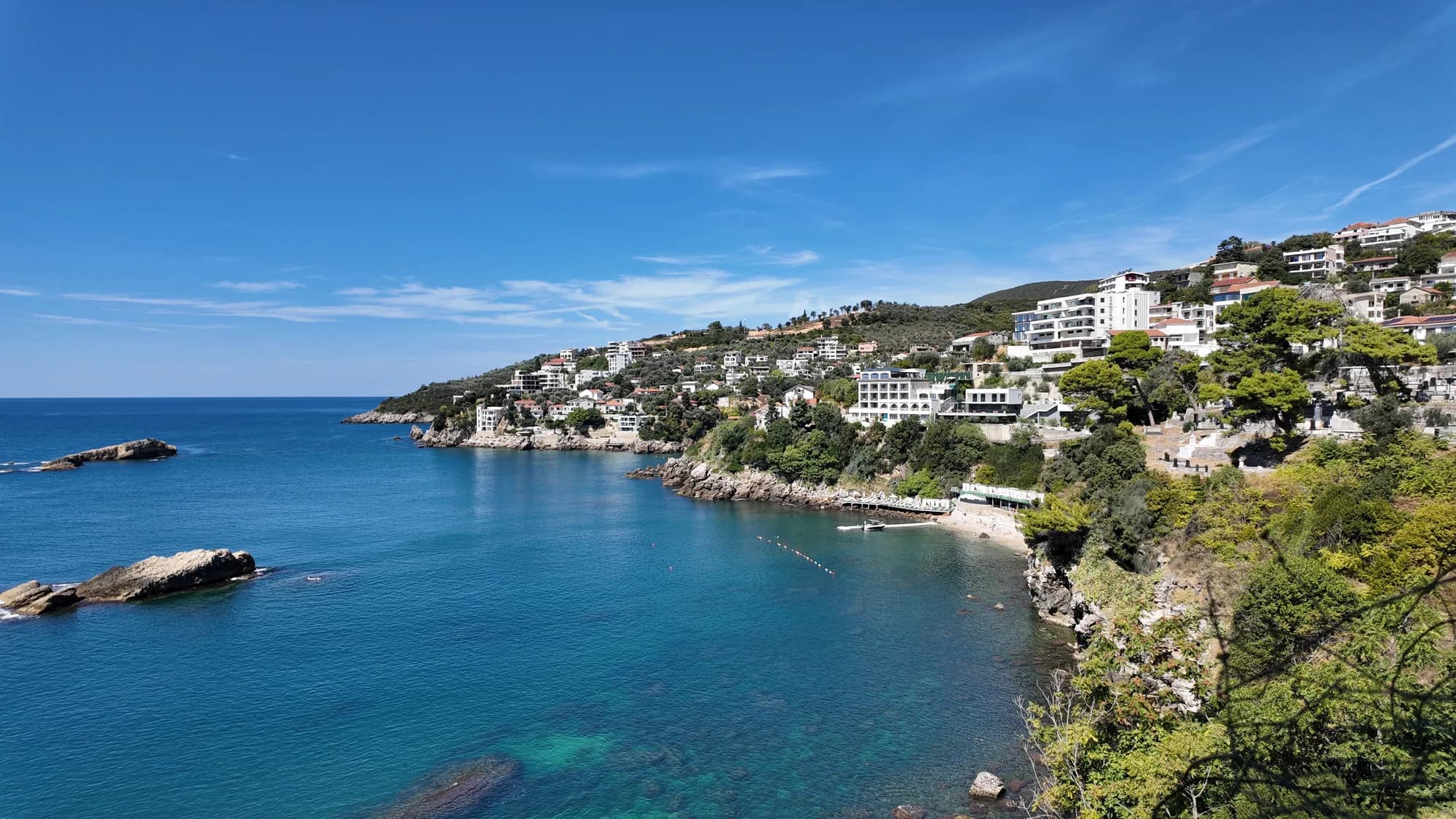
A screened cove east of Ulcinj with a sulphur spring in the shallows, run as a women-only bathing area from May to October and visited for a fertility tradition older than any of its operators.
- Surface
- pebble
- Entry
- entry rocky
- Character
- organised
- Length
- 50–100 m