Njivice
Kraljičina plaža
Montenegro’s last beach going west: rock, sand and concrete to swim from below a hamlet of 102 people, with Prevlaka and Croatia 4 km across the water.
Our verdict
Njivice is one long public beach, Kraljičina plaža, below one resort on a side road west of Igalo — rock, patches of sand and concrete platforms rather than pebble, a naturist section partitioned off at one end, and water the open sea flushes rather than the inner bay. It faces north-east, so the view is the whole Herceg Novi riviera under Orjen, and the summer boats to Dobreč, Žanjice, Mamula and the Blue Cave leave from this shore. Regulars are families with small children and older visitors after a quiet stay; there is a year-round bus to Herceg Novi and nothing at all after dark.
Njivice, in facts
The shore
Facilities
Access
Rules and character
Facts verified September 28, 2026 · Length: Our 25 Best Beaches list; Morsko Dobro publishes no length for Njivice · Facilities from OpenStreetMap contributors, ODbL · 9 more still to check on the ground
Njivice in pictures
Photographs and footage by Montenegro.com, free to reuse under CC BY 4.0. Ours were shot in September 2026.
Njivice in motion
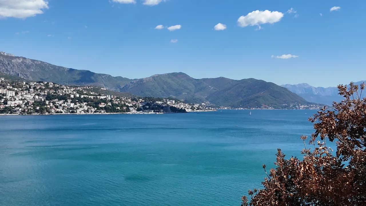
Looking out towards the mouth of the bay and Luštica from the Njivice shore
The I ♥ Herceg Novi sign at the Njivice viewpoint, a palm beside it
Photographs and footage by Montenegro.com, free to reuse under CC BY 4.0. Ours were shot in September 2026.
Map
The shaded water is the official bathing zone for station Njivice 01 — the stretch JP Morsko dobro actually samples, not an outline of the beach.
Getting there
2.7 km
Herceg Novi
18 km
Tivat airport
22 km
Kotor
Straight-line distances — Montenegro's roads are mountain roads, so the drive is longer.
- By busLocal bus Herceg Novi–Njivice, all year
- By boatSummer boats from the shore to Dobreč, Žanjice, Mamula, the Blue Cave and Rose
- By carNjivice is 3.6 km west of Igalo and 6.4 km from Herceg Novi on the side road towards the Konfin border crossing, which is 2.6 km further on
Today at Njivice
Which way the beach faces is computed from the OpenStreetMap coastline, so onshore and offshore mean this shore and not the region. Forecast by Open-Meteo
Water and awards
Excellent
Latest official sample September 28, 2026: Excellent
Sea 19.9 °C when the sample was taken
9 of 10 samples Excellent across the 2026 season
Official result from JP Morsko dobro, station Njivice 01
Eight of nine official samples Excellent in 2026, one Good on 17 August; flushed by the open sea rather than the inner bay
- Blue Flag 2026, sector 1A Njivice (Hotel Iberostar, operator Montenegro Hotels d.o.o.)The only Blue Flag beach in Herceg Novi municipality, flown in 2025 and again in 2026. It certifies the hotel’s own sector, not the whole public shore.
Know before you swim
- Rock and concrete entries with ladders, and sea urchins on the rock — swim shoes
- The excursion boats to Žanjice, Mamula and the Blue Cave leave from this shore late in the morning — keep inside the bathing zone
- Open to the bay mouth: a south-westerly swell breaks over the platforms and makes the ladders unusable
- Land access to the naturist end has been restricted before (2018: resort day pass only) — check before you count on it
When the water is warm
Njivice was at its warmest, 27.6 °C, on August 31, 2026, and at its coldest, 19.9 °C, on May 25, 2026. Every point is a real sampling visit with the temperature read on the spot, not a monthly average copied from somewhere else.
The hollow point is the one sampling that came back below Excellent.
See all 10 samplings
| Sampled | Sea | Result |
|---|---|---|
| September 28, 2026 | 19.9 °C | Excellent |
| September 14, 2026 | 23.7 °C | Excellent |
| August 31, 2026 | 27.6 °C | Excellent |
| August 17, 2026 | 24.2 °C | Good |
| August 3, 2026 | 25.4 °C | Excellent |
| July 20, 2026 | 25.4 °C | Excellent |
| July 6, 2026 | 21.9 °C | Excellent |
| June 22, 2026 | 24.7 °C | Excellent |
| June 8, 2026 | 22.5 °C | Excellent |
| May 25, 2026 | 19.9 °C | Excellent |
Season by season
Njivice has been sampled 69 times since 2020: 60 of those readings Excellent, 9 below it.
How warm the water got, season by season. The average is of the July and August samplings only — a fixed window, so a year the inspectors happened to come early does not read as a cold one.
A handful of seasons is a record, not a trend: the spread here is what a few dated readings look like, not evidence of a sea warming or cooling. A hollow point marks a season that recorded a sampling below Excellent.
| Season | Samplings | Excellent | Below | Jul–Aug mean | Warmest |
|---|---|---|---|---|---|
| 2020 | 9 | 8 | 1 | 24 °C | 25.5 °C |
| 2021 | 10 | 9 | 1 | 25.2 °C | 27.6 °C |
| 2022 | 10 | 9 | 1 | 24.4 °C | 26.8 °C |
| 2023 | 10 | 6 | 4 | 25.3 °C | 27.6 °C |
| 2024 | 10 | 9 | 1 | 25.1 °C | 27 °C |
| 2025 | 10 | 10 | — | 23 °C | 25.4 °C |
| 2026in progress | 10 | 9 | 1 | 24.9 °C | 27.6 °C |
Licensed as
The state leases this coast lot by lot. Njivice is tendered as 4 lots covering about 560 m of shore, each with an official category.
| Category | Lots | Shore |
|---|---|---|
| Hotel beach | 2 | 383 m |
| Family bathing | 2 | 177 m |
About 6,453 m² in total. This is what has been licensed, not what we saw: the number of sunbeds, toilets and showers on a lot is fixed in the signed lease, which is not published. JP Morsko dobro tenders
Nearby beaches




Njivice and its neighbours
The same nine measures for the beaches you could reach the same day. Bold means it differs from this one.
| Measure |  Njivicethis beach Njivicethis beach | 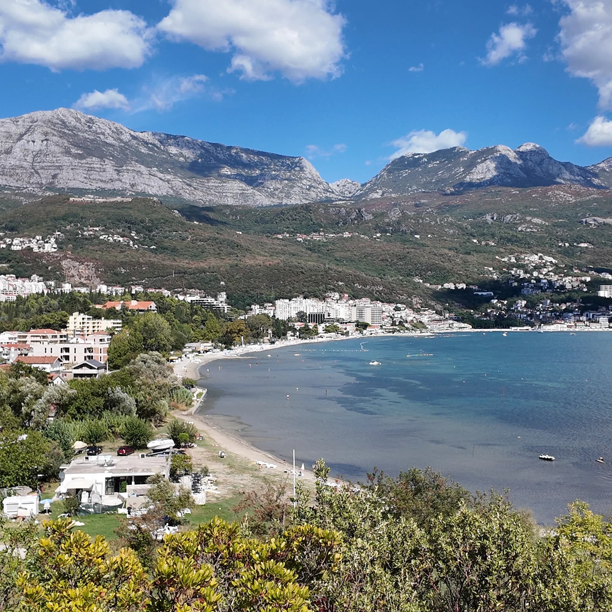 Igalo1.8 km Igalo1.8 km |  Savina3.4 km Savina3.4 km |  Mirišta7.7 km Mirišta7.7 km |
|---|---|---|---|---|
| Surface | rock | sand and fine pebble — differs | pebble — differs | pebble — differs |
| Entry | rocky | gentle — differs | moderate — differs | moderate — differs |
| Depth | deepens quickly | shallow — differs | deepens quickly | deepens quickly |
| Shade | umbrellas for hire | umbrellas for hire | umbrellas for hire | trees and umbrellas — differs |
| Character | organised and free sections | organised — differs | organised and free sections | organised and free sections |
| Length | 200 m | 600–1000 m — differs | 200 m | 200 m |
| Latest water | Excellent | Excellent | Excellent | Excellent |
| Crowd | quiet | busy in season — differs | busy in season — differs | quiet |
| Getting there | by road | by road | by road | on foot — differs |
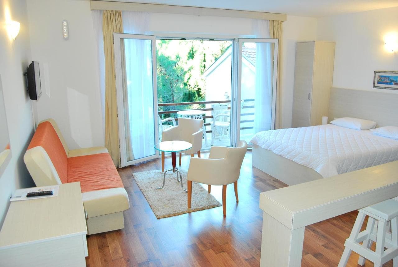
Stay near Njivice — Herceg Novi, 2.7 km away
All stays in Herceg Novi →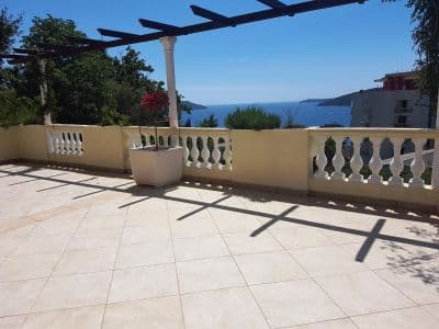


Questions
- Where is Njivice, exactly?
- On the north side of the bay mouth, west of Igalo and the Sutorina river, 6.4 km from Herceg Novi by road and 2.6 km short of the Konfin border crossing to Croatia. It is not on the Luštica peninsula, whatever older guides say, and not on the Pet Danica promenade, which starts at the Igalo Institute.
- Is there a naturist beach at Njivice?
- Yes — one end of Kraljičina plaža is partitioned for naturists, the oldest registered naturist beach on this coast. In 2018 land access was closed for the summer except through the resort; check the current arrangement before you rely on it.
- Does Njivice have a Blue Flag?
- One of our older guides says so, but we could not confirm a year on the official list, so we do not print it — read the flag on the beach.
- How do I get to Njivice without a car?
- A local bus runs from Herceg Novi through Igalo all year. In summer the boats along the shore go the other way, to the Luštica coves and the Blue Cave.
Sources
- montenegro.com — Njivice city hub and its source notes (visit-montenegro.com beach inventory; upoznajcrnugoru.com; Naturist Organisation of Serbia, 4 October 2018; JP Morsko dobro Boka register; Wikipedia, Njivice, Herceg Novi; OSRM road distances)
- Our 25 Best Beaches in Montenegro list (entry 21), with its geography corrected
- OpenStreetMap — beach ways 936390063 and 936390062 (naturist section)
- Our own frames and clips, 19–24 September 2026