
Risan
Pebble coves either side of the harbour of the oldest town on the bay, with the Orjen peaks reflected in the flat water and a Roman mosaic of the god of sleep 300 m from the shore.
Our verdict
Risan is a swim between two other things: the Roman villa floors with their Hypnos mosaic, and a coffee on the shore road. The bathing is modest — pebble and concrete spots either side of the harbour rather than a beach — but the water at the head of the bay is calm, the mountains stand straight up out of it, and almost nobody else is in. Come in May, June or September, when the mosaics are yours alone.
- swimming
- quiet
- photography
Risan, in facts
The shore
Facilities
Access
Facts verified September 28, 2026 · Length: Our 25 Best Beaches list; the OpenStreetMap beach polygon west of the harbour (way 240080159) also runs about 200 m · Facilities from OpenStreetMap contributors, ODbL · 13 more still to check on the ground
Risan in pictures
Some of these are ours, free to reuse under CC BY 4.0; the rest are licensed and are not.
Map
The shaded water is the official bathing zone for station RISAN — the stretch JP Morsko dobro actually samples, not an outline of the beach.
Getting there
12 km
Kotor
13 km
Tivat airport
14 km
Herceg Novi
Straight-line distances — Montenegro's roads are mountain roads, so the drive is longer.
- By busStops with shelters on the M-1 shore road through the town (OpenStreetMap); Kotor local buses run Kotor–Perast–Risan — route names not verified
- By carOn the M-1 shore road at the head of the bay, 17.5 km from Kotor (about 20 minutes) and 3 km beyond Perast; park in the town
- 3 min on footflat — Along the waterfront from the centre of Risan; the coves lie either side of the harbour
Today at Risan
Which way the beach faces is computed from the OpenStreetMap coastline, so onshore and offshore mean this shore and not the region. Forecast by Open-Meteo
Water and awards
Excellent
Latest official sample September 28, 2026: Excellent
Sea 20.5 °C when the sample was taken
10 of 10 samples Excellent across the 2026 season
Official result from JP Morsko dobro, station RISAN
The head of the bay: flat, sheltered water with the Orjen peaks reflected in it; no Morsko Dobro result held for Risan
No award we can cite for this beach. Absence is information too.
Know before you swim
- Concrete edges and steps rather than a sloping shore: mind children at the water’s edge
- Boats using the harbour and the jetty konobas share the water with swimmers
- The M-1 shore road runs along the waterfront; the coves are reached across it
When the water is warm
Risan was at its warmest, 27.5 °C, on August 31, 2026, and at its coldest, 20.0 °C, on May 25, 2026. Every point is a real sampling visit with the temperature read on the spot, not a monthly average copied from somewhere else.
See all 10 samplings
| Sampled | Sea | Result |
|---|---|---|
| September 28, 2026 | 20.5 °C | Excellent |
| September 14, 2026 | 24.7 °C | Excellent |
| August 31, 2026 | 27.5 °C | Excellent |
| August 17, 2026 | 25.4 °C | Excellent |
| August 3, 2026 | 25.2 °C | Excellent |
| July 20, 2026 | 26.7 °C | Excellent |
| July 6, 2026 | 21.9 °C | Excellent |
| June 22, 2026 | 24.1 °C | Excellent |
| June 8, 2026 | 22.6 °C | Excellent |
| May 25, 2026 | 20.0 °C | Excellent |
Season by season
Risan has been sampled 30 times since 2024: 22 of those readings Excellent, 8 below it.
| Season | Samplings | Excellent | Below | Jul–Aug mean | Warmest |
|---|---|---|---|---|---|
| 2024 | 10 | 6 | 4 | 25.1 °C | 27.7 °C |
| 2025 | 10 | 6 | 4 | 24.3 °C | 25.6 °C |
| 2026in progress | 10 | 10 | — | 25.3 °C | 27.5 °C |
Licensed as
The state leases this coast lot by lot. Risan is tendered as 3 lots covering about 254 m of shore, each with an official category.
| Category | Lots | Shore |
|---|---|---|
| Family bathing | 3 | 254 m |
About 3,010 m² in total. This is what has been licensed, not what we saw: the number of sunbeds, toilets and showers on a lot is fixed in the signed lease, which is not published. JP Morsko dobro tenders
Nearby beaches



Risan and its neighbours
The same nine measures for the beaches you could reach the same day. Bold means it differs from this one.
| Measure | Risanthis beach |  Lipci3.3 km Lipci3.3 km |  Bajova Kula5.0 km Bajova Kula5.0 km |  Orahovac6.1 km Orahovac6.1 km |
|---|---|---|---|---|
| Surface | pebble | pebble | pebble | pebble |
| Entry | moderate | rocky — differs | moderate | moderate |
| Depth | deepens quickly | deepens quickly | deepens quickly | deepens quickly |
| Shade | none | none | natural — differs | natural — differs |
| Character | wild | wild | organised — differs | wild |
| Length | 200 m | 20–50 m — differs | 118 m — differs | 150 m |
| Latest water | Excellent | —no official sampling point — differs | Excellent | Excellent |
| Crowd | quiet | quiet | quiet | quiet |
| Getting there | on foot | by road — differs | by road — differs | by road — differs |
Stay near Risan
All stays in Risan →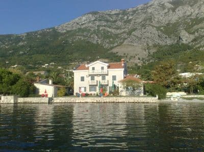
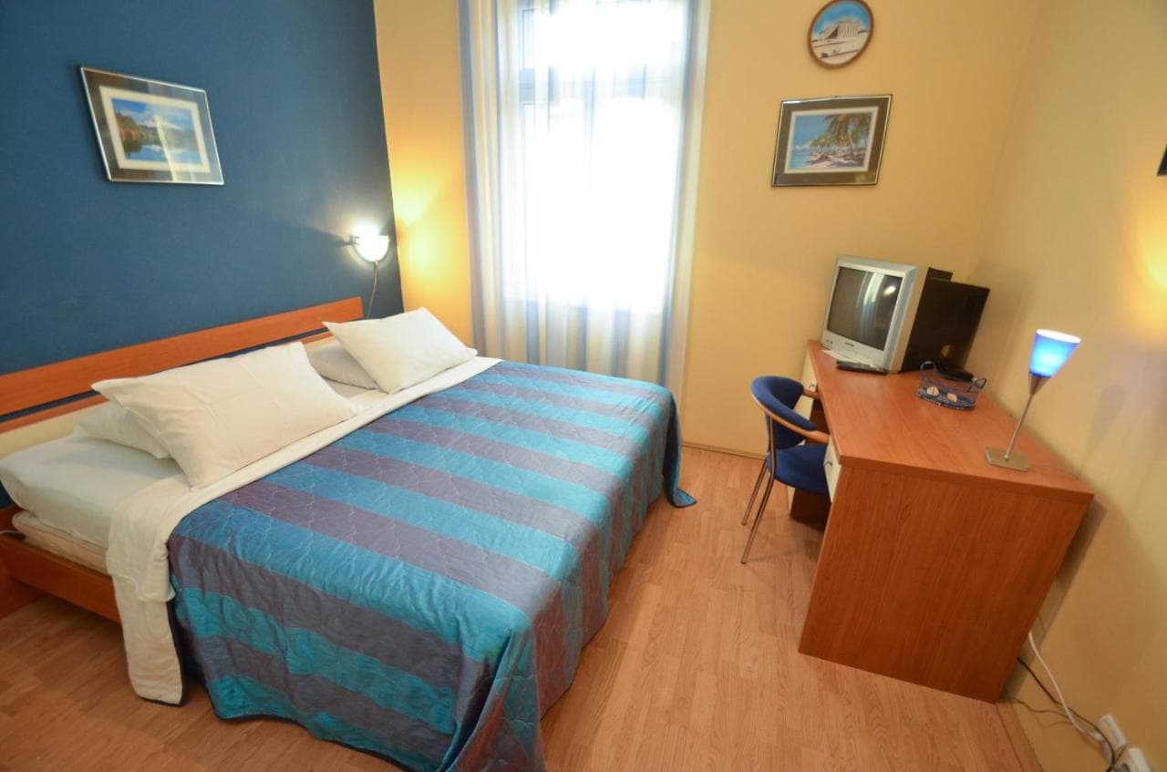

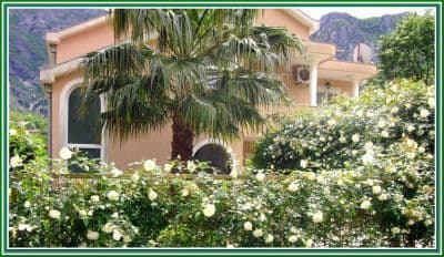
Questions
- Where exactly do people swim at Risan?
- From the pebble coves either side of the harbour on the waterfront, reached across the shore road. OpenStreetMap maps a 200-m strip just west of the harbour and a smaller "Pomodna plaža" 600 m south towards Perast.
- Can I combine the swim with the mosaics?
- Easily: the Roman villa site is in the town, a few minutes on foot from the shore. Go before the tour vans arrive; the hub recommends May and June for having the floors to yourself.
- Is Risan on a bus route?
- The M-1 shore road runs through the town and has sheltered stops; Kotor local buses reach Risan via Perast (about 20 minutes from Kotor by road). Route names were not verified for this page.
Sources
- montenegro.com — Risan hub (/cities/risan)
- Our "25 Best Beaches in Montenegro" list, entry 25
- OpenStreetMap — beach ways 240080159, 240248810, 240248980, 240248981, 239301386 "Pomodna plaža"; café node 4353492290; town node 425487395 (Nominatim); sheltered bus stops on the M-1