
Risan
Šljunkovite uvale sa obje strane luke najstarijeg grada na zalivu, sa vrhovima Orjena koji se ogledaju u mirnoj vodi i rimskim mozaikom boga sna udaljenim 300 m od obale.
Naša ocjena
Risan je kupanje između dvije druge stvari: podova rimske vile sa mozaikom Hipnosa i kafe na obalskom putu. Kupanje je skromno — šljunkovita i betonska mjesta sa obje strane luke, a ne prava plaža — ali voda na dnu zaliva je mirna, planine se dižu pravo iz nje, a skoro niko drugi nije u vodi. Dođite u maju, junu ili septembru, kada su mozaici samo vaši.
- plivanje
- mir
- fotografisanje
Risan u činjenicama
Obala
Sadržaji
Pristup
Činjenice provjerene 28. septembar 2026. · Dužina: Our 25 Best Beaches list; the OpenStreetMap beach polygon west of the harbour (way 240080159) also runs about 200 m · Sadržaji prema izvoru OpenStreetMap contributors, ODbL · Još 13 podataka treba provjeriti na licu mjesta
Risan u slikama
Neke su naše i mogu se slobodno koristiti pod licencom CC BY 4.0; ostale su licencirane i ne mogu.
Mapa
Osjenčena površina je zvanična kupališna zona mjerne stanice RISAN — dionica koju JP Morsko dobro zaista uzorkuje, a ne obris plaže.
Kako doći
12 km
Kotor
13 km
Tivat airport
14 km
Herceg Novi
Rastojanja vazdušnom linijom — crnogorski putevi su planinski, pa je vožnja duža.
- AutobusomStops with shelters on the M-1 shore road through the town (OpenStreetMap); Kotor local buses run Kotor–Perast–Risan — route names not verified
- AutomOn the M-1 shore road at the head of the bay, 17.5 km from Kotor (about 20 minutes) and 3 km beyond Perast; park in the town
- 3 min pješkeravno — Along the waterfront from the centre of Risan; the coves lie either side of the harbour
Danas na plaži Risan
Orijentacija je izračunata iz OpenStreetMap linije obale, pa se „prema obali“ i „s kopna“ odnose na ovu obalu, a ne na region. Prognoza: Open-Meteo
Voda i priznanja
Odlična
Posljednji zvanični uzorak 28. septembar 2026.: Odlična
More 20.5 °C u trenutku uzorkovanja
10 od 10 uzoraka ocijenjeno odlično u sezoni 2026
Zvanični rezultat JP Morsko dobro, mjerna stanica RISAN
Dno zaliva: mirna, zaklonjena voda u kojoj se ogledaju vrhovi Orjena; nema rezultata Morskog Dobra za Risan
Nema priznanja koje možemo navesti za ovu plažu. I to je informacija.
Znajte prije kupanja
- Betonske ivice i stepenice umjesto blage obale: pazite na djecu na ivici vode
- Brodovi koji koriste luku i konobe na molu dijele vodu sa kupačima
- Obalski put M-1 prolazi duž obale; do uvala se stiže preko njega
Kad je more toplo
Najtoplije je bilo 27.5 °C, 31. avgust 2026., a najhladnije 20.0 °C, 25. maj 2026.. Svaka tačka je stvarni izlazak na teren, sa temperaturom izmjerenom na licu mjesta, a ne mjesečni prosjek prepisan sa strane.
Prikaži svih 10 uzorkovanja
| Uzorkovano | More | Ocjena |
|---|---|---|
| 28. septembar 2026. | 20.5 °C | Odlična |
| 14. septembar 2026. | 24.7 °C | Odlična |
| 31. avgust 2026. | 27.5 °C | Odlična |
| 17. avgust 2026. | 25.4 °C | Odlična |
| 3. avgust 2026. | 25.2 °C | Odlična |
| 20. jul 2026. | 26.7 °C | Odlična |
| 6. jul 2026. | 21.9 °C | Odlična |
| 22. jun 2026. | 24.1 °C | Odlična |
| 8. jun 2026. | 22.6 °C | Odlična |
| 25. maj 2026. | 20.0 °C | Odlična |
Sezona po sezonu
Voda na plaži Risan uzorkovana je 30 puta od 2024. godine: 22 puta ocijenjena je kao odlična, 8 puta niže od toga.
| Sezona | Uzorkovanja | Odlična | Ispod | Prosjek jul–avg. | Najtoplije |
|---|---|---|---|---|---|
| 2024 | 10 | 6 | 4 | 25.1 °C | 27.7 °C |
| 2025 | 10 | 6 | 4 | 24.3 °C | 25.6 °C |
| 2026u toku | 10 | 10 | — | 25.3 °C | 27.5 °C |
Kategorija kupališta
Obala se izdaje u zakup lokacija po lokacija. Risan je raspisana kroz 3 lokacije na oko 254 m obale, svaka sa zvaničnom kategorijom.
| Kategorija | Lokacija | Obala |
|---|---|---|
| Javno-porodično | 3 | 254 m |
Ukupno oko 3,010 m². Ovo je ono što je dato u zakup, a ne ono što smo zatekli: broj ležaljki, sanitarnih čvorova i tuševa po lokaciji utvrđuje se potpisanim ugovorom, koji se ne objavljuje. Tenderi JP Morsko dobro
Plaže u blizini



Risan i susjedne plaže
Istih devet podataka za plaže do kojih možete stići istog dana. Podebljano znači da se razlikuje od ove.
| Podatak | Risanova plaža |  Lipci3.3 km Lipci3.3 km |  Bajova Kula5.0 km Bajova Kula5.0 km |  Orahovac6.1 km Orahovac6.1 km |
|---|---|---|---|---|
| Podloga | šljunak | šljunak | šljunak | šljunak |
| Ulazak u more | umjeren | kamenit — razlikuje se | umjeren | umjeren |
| Dubina | brzo postaje duboko | brzo postaje duboko | brzo postaje duboko | brzo postaje duboko |
| Hlad | nema | nema | prirodni — razlikuje se | prirodni — razlikuje se |
| Karakter | divlja | divlja | uređena — razlikuje se | divlja |
| Dužina | 200 m | 20–50 m — razlikuje se | 118 m — razlikuje se | 150 m |
| Posljednji uzorak | Odlična | —nema zvaničnog mjernog mjesta — razlikuje se | Odlična | Odlična |
| Gužva | mir | mir | mir | mir |
| Kako doći | pješke | automobilom — razlikuje se | automobilom — razlikuje se | automobilom — razlikuje se |
Smještaj blizu plaže Risan
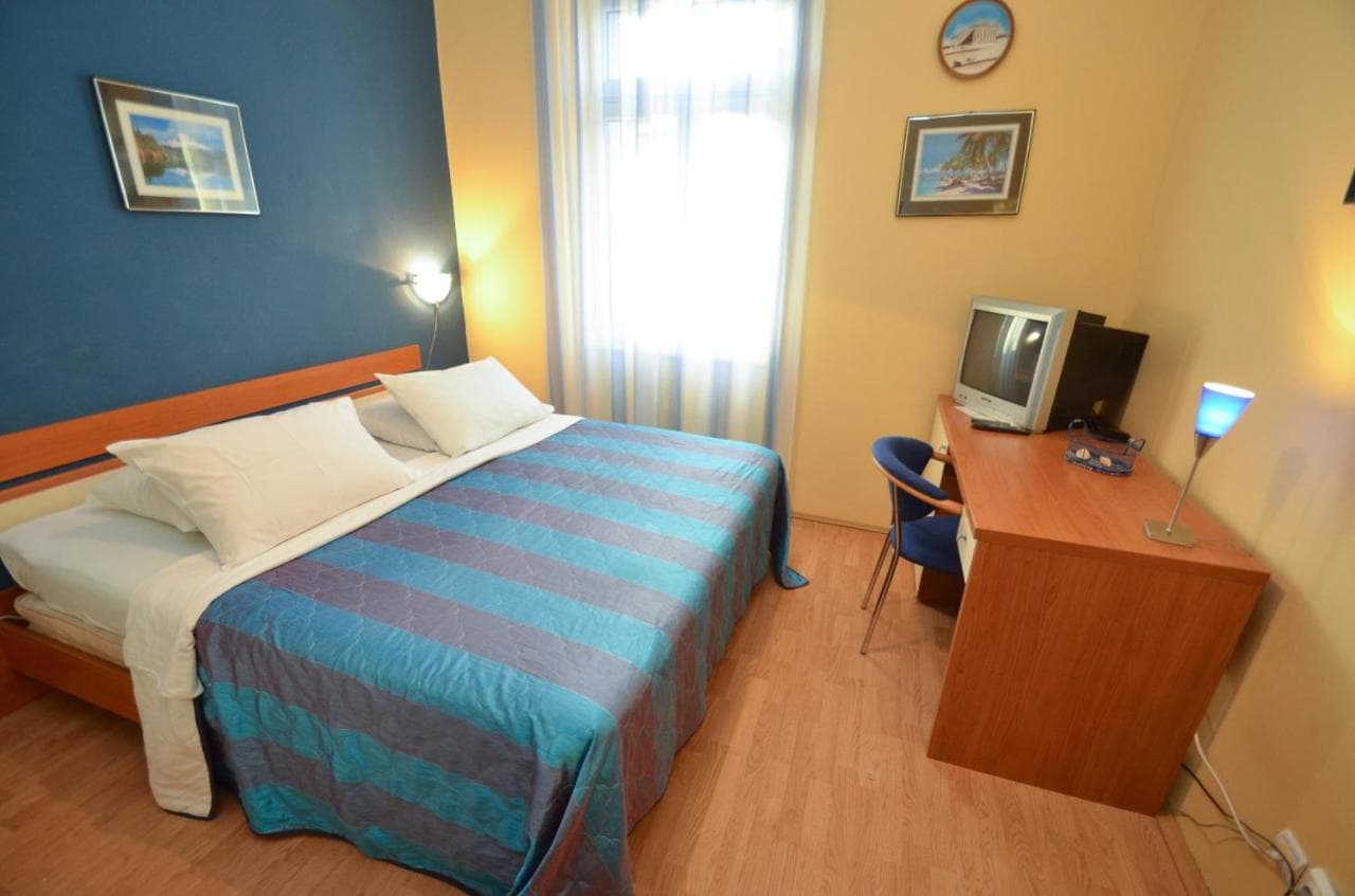
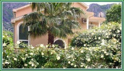
Sav smještaj u mjestu Risan →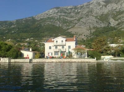

Pitanja
- Gdje se tačno kupaju ljudi u Risnu?
- Sa šljunkovitih uvala sa obje strane luke na obali, do kojih se stiže preko obalskog puta. OpenStreetMap bilježi traku od 200 m odmah zapadno od luke i manju „Pomodnu plažu“ 600 m južno prema Perastu.
- Mogu li kombinovati kupanje sa obilaskom mozaika?
- Lako: nalazište rimske vile je u gradu, nekoliko minuta pješke od obale. Idite prije nego što stignu turistički kombiji; naš vodič preporučuje maj i jun kada su podovi samo za vas.
- Da li Risan ima autobusku liniju?
- Obalski put M-1 prolazi kroz grad i ima nadstrešnice na stajalištima; kotorski lokalni autobusi stižu do Risna preko Perasta (oko 20 minuta od Kotora putem). Nazivi linija nisu provjereni za ovu stranicu.
Izvori
- montenegro.com — Risan hub (/cities/risan)
- Our "25 Best Beaches in Montenegro" list, entry 25
- OpenStreetMap — beach ways 240080159, 240248810, 240248980, 240248981, 239301386 "Pomodna plaža"; café node 4353492290; town node 425487395 (Nominatim); sheltered bus stops on the M-1