
Risan
Cale di ciottoli su entrambi i lati del porto della città più antica della baia, con le cime dell'Orjen riflesse nell'acqua piatta e un mosaico romano del dio del sonno a 300 m dall'arenile.
Il nostro verdetto
Risan è un bagno tra altre due cose: i pavimenti della villa romana con il loro mosaico di Hypnos, e un caffè sulla strada costiera. Il bagno è modesto — punti di ciottoli e cemento su entrambi i lati del porto più che una vera spiaggia — ma l'acqua al fondo della baia è calma, le montagne si ergono dritte fuori dall'acqua, e non c'è quasi nessun altro. Vieni a maggio, giugno o settembre, quando i mosaici sono tutti tuoi.
- nuotare
- tranquillità
- fotografia
Risan, in dati
La riva
Servizi
Accesso
Dati verificati il 28 settembre 2026 · Lunghezza: Our 25 Best Beaches list; the OpenStreetMap beach polygon west of the harbour (way 240080159) also runs about 200 m · Servizi da OpenStreetMap contributors, ODbL · Altri 13 dati da verificare sul posto
Risan in immagini
Alcune sono nostre e riutilizzabili con licenza CC BY 4.0; le altre sono su licenza e non lo sono.
Mappa
L’area ombreggiata è la zona di balneazione ufficiale della stazione RISAN: il tratto che JP Morsko dobro campiona davvero, non il contorno della spiaggia.
Come arrivare
12 km
Kotor
13 km
Tivat airport
14 km
Herceg Novi
Distanze in linea d'aria — le strade del Montenegro sono strade di montagna, quindi il viaggio è più lungo.
- In autobusStops with shelters on the M-1 shore road through the town (OpenStreetMap); Kotor local buses run Kotor–Perast–Risan — route names not verified
- In autoOn the M-1 shore road at the head of the bay, 17.5 km from Kotor (about 20 minutes) and 3 km beyond Perast; park in the town
- 3 min a piedipianeggiante — Along the waterfront from the centre of Risan; the coves lie either side of the harbour
Oggi a Risan
L’orientamento è calcolato dalla linea di costa di OpenStreetMap, quindi «verso la spiaggia» e «da terra» riguardano questa riva, non la regione. Previsioni di Open-Meteo
Acqua e riconoscimenti
Eccellente
Ultimo campione ufficiale 28 settembre 2026: Eccellente
Mare a 20.5 °C al momento del prelievo
10 campioni eccellenti su 10 nella stagione 2026
Risultato ufficiale di JP Morsko dobro, stazione RISAN
Il fondo della baia: acqua piatta e riparata con le cime dell'Orjen riflesse; nessun risultato Morsko Dobro disponibile per Risan
Nessun riconoscimento che possiamo citare per questa spiaggia. Anche l'assenza è un'informazione.
Da sapere prima di fare il bagno
- Bordi e gradini di cemento più che un arenile digradante: fai attenzione ai bambini sul bagnasciuga
- Le barche che usano il porto e le konobe sul pontile condividono l'acqua con i bagnanti
- La strada costiera M-1 corre lungo il lungomare; le cale si raggiungono attraversandola
Quando l'acqua è calda
Risan ha toccato il massimo, 27.5 °C, il 31 agosto 2026, e il minimo, 20.0 °C, il 25 maggio 2026. Ogni punto è un campionamento reale con la temperatura rilevata sul posto, non una media mensile copiata altrove.
Vedi tutti i 10 campionamenti
| Campionato | Mare | Esito |
|---|---|---|
| 28 settembre 2026 | 20.5 °C | Eccellente |
| 14 settembre 2026 | 24.7 °C | Eccellente |
| 31 agosto 2026 | 27.5 °C | Eccellente |
| 17 agosto 2026 | 25.4 °C | Eccellente |
| 3 agosto 2026 | 25.2 °C | Eccellente |
| 20 luglio 2026 | 26.7 °C | Eccellente |
| 6 luglio 2026 | 21.9 °C | Eccellente |
| 22 giugno 2026 | 24.1 °C | Eccellente |
| 8 giugno 2026 | 22.6 °C | Eccellente |
| 25 maggio 2026 | 20.0 °C | Eccellente |
Stagione per stagione
Risan è stata campionata 30 volte dal 2024: 22 di quelle letture eccellenti, 8 sotto.
| Stagione | Campionamenti | Eccellente | Sotto | Media lug.-ago. | Massima |
|---|---|---|---|---|---|
| 2024 | 10 | 6 | 4 | 25.1 °C | 27.7 °C |
| 2025 | 10 | 6 | 4 | 24.3 °C | 25.6 °C |
| 2026in corso | 10 | 10 | — | 25.3 °C | 27.5 °C |
In concessione come
Lo Stato affitta questa costa lotto per lotto. Risan è messa a gara in 3 lotti per circa 254 m di riva, ognuno con una categoria ufficiale.
| Categoria | Lotti | Riva |
|---|---|---|
| Balneazione per famiglie | 3 | 254 m |
Circa 3,010 m² in tutto. Questo è ciò che è in concessione, non ciò che abbiamo visto: il numero di lettini, servizi e docce per lotto è fissato nel contratto firmato, che non viene pubblicato. Bandi di JP Morsko dobro
Spiagge vicine



Risan e le spiagge vicine
Le stesse nove misure per le spiagge raggiungibili in giornata. Il grassetto indica una differenza rispetto a questa.
| Misura | Risanquesta spiaggia |  Lipci3.3 km Lipci3.3 km |  Bajova Kula5.0 km Bajova Kula5.0 km |  Orahovac6.1 km Orahovac6.1 km |
|---|---|---|---|---|
| Fondo | ciottoli | ciottoli | ciottoli | ciottoli |
| Ingresso | moderato | roccioso — differisce | moderato | moderato |
| Profondità | si fa presto profonda | si fa presto profonda | si fa presto profonda | si fa presto profonda |
| Ombra | nessuna | nessuna | naturale — differisce | naturale — differisce |
| Carattere | selvaggia | selvaggia | attrezzata — differisce | selvaggia |
| Lunghezza | 200 m | 20–50 m — differisce | 118 m — differisce | 150 m |
| Ultimo campione | Eccellente | —nessun punto di campionamento ufficiale — differisce | Eccellente | Eccellente |
| Affollamento | tranquillità | tranquillità | tranquillità | tranquillità |
| Come arrivare | a piedi | in auto — differisce | in auto — differisce | in auto — differisce |
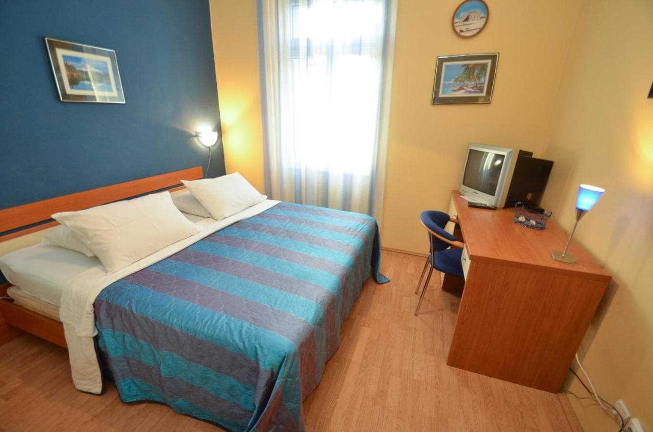
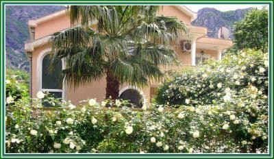
Dormire vicino a Risan
Tutti gli alloggi a Risan →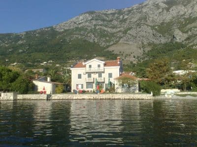

Domande
- Dove si fa esattamente il bagno a Risan?
- Dalle cale di ciottoli su entrambi i lati del porto sul lungomare, raggiungibili attraversando la strada costiera. OpenStreetMap mappa una striscia di 200 m appena a ovest del porto e una più piccola "Pomodna plaža" 600 m a sud verso Perast.
- Si può combinare il bagno con i mosaici?
- Facilmente: il sito della villa romana si trova in città, a pochi minuti a piedi dall'arenile. Vai prima che arrivino i pulmini turistici; la nostra pagina generale consiglia maggio e giugno per avere i pavimenti tutti per te.
- Risan è su una linea di autobus?
- La strada costiera M-1 attraversa la città e ha fermate con pensiline; gli autobus locali di Kotor raggiungono Risan via Perast (circa 20 minuti da Kotor su strada). I nomi delle linee non sono stati verificati per questa pagina.
Fonti
- montenegro.com — Risan hub (/cities/risan)
- Our "25 Best Beaches in Montenegro" list, entry 25
- OpenStreetMap — beach ways 240080159, 240248810, 240248980, 240248981, 239301386 "Pomodna plaža"; café node 4353492290; town node 425487395 (Nominatim); sheltered bus stops on the M-1