
Lipci
Una striscia di ciottoli e rocce piatte sotto i cervi preistorici di Lipci, raggiungibile con uno stretto sentiero di cemento, con acqua limpida abbastanza profonda per i tuffi e nient'altro.
Il nostro verdetto
Questa è la "spiaggia nascosta" della guida di Lipci: nessun nome, nessun simbolo in mappa, pochi metri di ciottoli e roccia piatta sotto il sito di arte rupestre, e un'acqua che la guida definisce cristallina e abbastanza profonda da permettere tuffi dalle rocce. Il villaggio stesso non ha alberghi, konobe né negozi, quindi la spiaggia è esattamente vuota quanto sembra. Abbinala alle incisioni sopra — il motivo per cui la maggior parte delle persone si ferma a Lipci — e a Morinj, 1,7 km più avanti, per il pranzo.
- tranquillità
- nuotare
- snorkeling
Lipci, in dati
La riva
Servizi
Accesso
Dati verificati il 28 settembre 2026 · Lunghezza: Not measured by any source and not mapped on OpenStreetMap; our Lipci guide describes "a strip of pebbles and a few flat rocks" — an order of magnitude, not a survey · Altri 5 dati da verificare sul posto
Lipci in immagini
Mappa
Come arrivare
11 km
Herceg Novi
12 km
Tivat airport
12 km
Kotor
Distanze in linea d'aria — le strade del Montenegro sono strade di montagna, quindi il viaggio è più lungo.
- In autobusStops with shelters on the M-1 shore road within 600 m (OpenStreetMap); route names not verified
- In autoOn the M-1 between Risan (4.8 km) and Morinj (1.7 km); a small parking area near the rock-art path and a free lay-by on the shore road
- 10 min a piedisentiero sconnesso — From the roadside parking near the rock-art path: a narrow concrete path and then rock down to the water
Oggi a Lipci
L’orientamento è calcolato dalla linea di costa di OpenStreetMap, quindi «verso la spiaggia» e «da terra» riguardano questa riva, non la regione. Previsioni di Open-Meteo
Acqua e riconoscimenti
Stazione ufficiale più vicina
Eccellente
Ultimo campione ufficiale 28 settembre 2026: Eccellente
Il monitoraggio non ha un punto di campionamento a Lipci. Questo risultato viene dalla stazione Morinj 01, a 1.3 km, a Morinj: la stessa acqua, ma non questa riva.
Mare a 20.2 °C al momento del prelievo
6 campioni eccellenti su 10 nella stagione 2026
Risultato ufficiale di JP Morsko dobro, stazione Morinj 01
"Cristallina e abbastanza profonda per tuffarsi dalle rocce" secondo la nostra guida; circa 25 °C entro agosto; nessuna stazione Morsko Dobro qui
Nessun riconoscimento che possiamo citare per questa spiaggia. Anche l'assenza è un'informazione.
Da sapere prima di fare il bagno
- La discesa è uno stretto sentiero di cemento e poi roccia nuda — servono scarpe adeguate, e non è un percorso per bambini piccoli o ginocchia deboli
- Tuffi dalle rocce: controlla tu stesso la profondità ogni volta — nulla è segnalato e nessuno sta sorvegliando
- Le barche passano di tanto in tanto in questa parte della baia; l'arenile è riparato ma non delimitato da boe
- Nessuna ombra, nessuna acqua, nessun servizio di alcun tipo: porta tutto con te e riportalo indietro
Quando l'acqua è calda
Lipci ha toccato il massimo, 25.8 °C, il 31 agosto 2026, e il minimo, 16.8 °C, il 25 maggio 2026. Ogni punto è un campionamento reale con la temperatura rilevata sul posto, non una media mensile copiata altrove.
I punti vuoti sono i 4 campionamenti risultati sotto «Eccellente».
Vedi tutti i 10 campionamenti
| Campionato | Mare | Esito |
|---|---|---|
| 28 settembre 2026 | 20.2 °C | Eccellente |
| 14 settembre 2026 | 22.4 °C | Sufficiente |
| 31 agosto 2026 | 25.8 °C | Eccellente |
| 17 agosto 2026 | 24.8 °C | Buona |
| 3 agosto 2026 | 23.1 °C | Eccellente |
| 23 luglio 2026 | 22.0 °C | Sufficiente |
| 8 luglio 2026 | 19.2 °C | Eccellente |
| 22 giugno 2026 | 24.0 °C | Buona |
| 8 giugno 2026 | 17.0 °C | Eccellente |
| 25 maggio 2026 | 16.8 °C | Eccellente |
Spiagge vicine



Lipci e le spiagge vicine
Le stesse nove misure per le spiagge raggiungibili in giornata. Il grassetto indica una differenza rispetto a questa.
| Misura | Lipciquesta spiaggia |  Risan3.3 km Risan3.3 km |  Stoliv5.1 km Stoliv5.1 km |  Bajova Kula6.4 km Bajova Kula6.4 km |
|---|---|---|---|---|
| Fondo | ciottoli | ciottoli | piattaforme di cemento — differisce | ciottoli |
| Ingresso | roccioso | moderato — differisce | ripido — differisce | moderato — differisce |
| Profondità | si fa presto profonda | si fa presto profonda | profonda dalla riva — differisce | si fa presto profonda |
| Ombra | nessuna | nessuna | nessuna | naturale — differisce |
| Carattere | selvaggia | selvaggia | selvaggia | attrezzata — differisce |
| Lunghezza | 20–50 m | 200 m — differisce | 100 m — differisce | 118 m — differisce |
| Ultimo campione | —nessun punto di campionamento ufficiale | Eccellente — differisce | Eccellente — differisce | Eccellente — differisce |
| Affollamento | tranquillità | tranquillità | tranquillità | tranquillità |
| Come arrivare | in auto | a piedi — differisce | in auto | in auto |
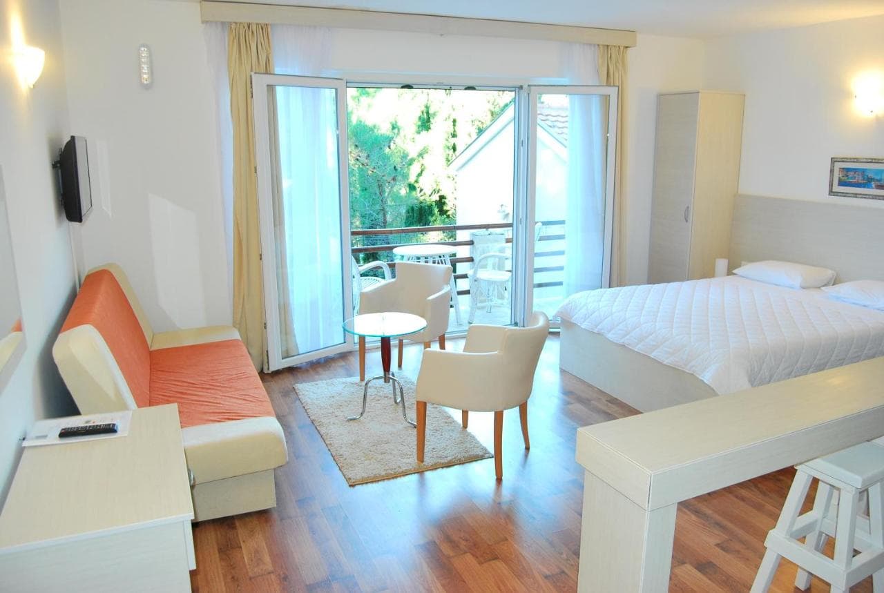
Dove dormire vicino a Lipci — Herceg Novi, a 11 km
Tutti gli alloggi a Herceg Novi →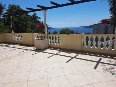


La guida completa
Leggi la guida di Lipci
Tutto quanto sopra è la versione breve. La guida contiene le fonti, i codici di settore, le date dei campionamenti e ciò che cambia nel corso di una stagione.
Domande
- Dove si trova la spiaggia nascosta di Lipci?
- Sotto il sito di arte rupestre, lungo uno stretto sentiero di cemento che parte dal parcheggio a bordo strada sulla M-1. OpenStreetMap non la segnala; la nostra guida descrive una striscia di ciottoli e alcune rocce piatte per prendere il sole.
- L'acqua è profonda?
- La guida la definisce abbastanza profonda per tuffarsi dalle rocce, anche se la nostra pagina generale descrive acqua bassa e limpida al largo dell'arenile del villaggio — controlla tu stesso la profondità prima di qualsiasi tuffo. L'acqua raggiunge circa 25 °C entro agosto.
- Dove si trovano il cibo, il negozio o il campeggio più vicini?
- Morinj, 1,7 km a ovest: un negozio, due campeggi per auto, una spiaggia con un bar in stagione e il ristorante Ćatovića Mlini presso gli antichi mulini. Risan, 4,8 km a est, ha supermercati e bancomat.
Fonti
- montenegro.com — Lipci guide (/cities/lipci/lipci-comprehensive-travel-guide)
- montenegro.com — Lipci hub (/cities/lipci) and its source notes (Overpass features around the village node, OSRM distances)
- OpenStreetMap — village node 717359007 (Nominatim); parking way 1527881742, node 2313528091, lay-by way 1262012912; no natural=beach mapped at Lipci