
Lipci
Una franja de guijarros y rocas planas bajo los ciervos prehistóricos de Lipci, a la que se llega por un estrecho sendero de hormigón, con agua clara lo bastante profunda para saltar y nada más.
Nuestro veredicto
Esta es la "playa escondida" de la guía de Lipci: sin nombre, sin símbolo en el mapa, unos pocos metros de guijarros y roca plana bajo el yacimiento de arte rupestre, con un agua que la guía llama cristalina y lo bastante profunda para saltar desde las rocas. El propio pueblo no tiene hotel, ni konoba ni tienda, así que la playa es exactamente tan vacía como suena. Combínela con los dibujos de arriba —la razón por la que la mayoría se detiene en Lipci— y con Morinj, 1.7 km más allá, para comer.
- tranquilidad
- nadar
- snorkel
Lipci, en datos
La orilla
Servicios
Acceso
Datos verificados el 28 de septiembre de 2026 · Longitud: Not measured by any source and not mapped on OpenStreetMap; our Lipci guide describes "a strip of pebbles and a few flat rocks" — an order of magnitude, not a survey · Quedan 5 datos por comprobar sobre el terreno
Lipci en imágenes
Mapa
Cómo llegar
11 km
Herceg Novi
12 km
Tivat airport
12 km
Kotor
Distancias en línea recta — las carreteras de Montenegro son de montaña, así que el trayecto es más largo.
- En autobúsStops with shelters on the M-1 shore road within 600 m (OpenStreetMap); route names not verified
- En cocheOn the M-1 between Risan (4.8 km) and Morinj (1.7 km); a small parking area near the rock-art path and a free lay-by on the shore road
- 10 min a piesendero irregular — From the roadside parking near the rock-art path: a narrow concrete path and then rock down to the water
Hoy en Lipci
La orientación se calcula a partir de la costa de OpenStreetMap, así que «hacia la playa» y «desde tierra» se refieren a esta orilla y no a la región. Previsión de Open-Meteo
Agua y galardones
Estación oficial más cercana
Excelente
Última muestra oficial 28 de septiembre de 2026: Excelente
El monitoreo no tiene punto de muestreo en Lipci. Este resultado viene de la estación Morinj 01, a 1.3 km, en Morinj: la misma agua, pero no esta orilla.
Mar a 20.2 °C en el momento de la muestra
6 de 10 muestras excelentes en la temporada 2026
Resultado oficial de JP Morsko dobro, estación Morinj 01
"Cristalina y lo bastante profunda para saltar desde las rocas" según nuestra guía; alrededor de 25 °C hacia agosto; no hay estación de Morsko Dobro aquí
Ningún galardón que podamos citar para esta playa. La ausencia también es información.
Antes de bañarte
- La bajada es un estrecho sendero de hormigón y después roca desnuda — calzado adecuado, y no es una ruta para niños pequeños ni rodillas delicadas
- Saltar desde las rocas: compruebe usted mismo la profundidad cada vez — nada está señalizado y nadie vigila
- De vez en cuando pasan barcos por esta parte de la bahía; la orilla está resguardada pero no señalizada con boyas
- Sin sombra, sin agua, sin ninguna instalación: lleve todo consigo y llévese todo de vuelta
Cuándo está templada el agua
Lipci alcanzó su máximo, 25.8 °C, el 31 de agosto de 2026, y su mínimo, 16.8 °C, el 25 de mayo de 2026. Cada punto es una toma de muestra real con la temperatura medida en el sitio, no un promedio mensual copiado de otra parte.
Los puntos huecos son los 4 muestreos que no alcanzaron «Excelente».
Ver los 10 muestreos
| Muestreo | Mar | Resultado |
|---|---|---|
| 28 de septiembre de 2026 | 20.2 °C | Excelente |
| 14 de septiembre de 2026 | 22.4 °C | Suficiente |
| 31 de agosto de 2026 | 25.8 °C | Excelente |
| 17 de agosto de 2026 | 24.8 °C | Buena |
| 3 de agosto de 2026 | 23.1 °C | Excelente |
| 23 de julio de 2026 | 22.0 °C | Suficiente |
| 8 de julio de 2026 | 19.2 °C | Excelente |
| 22 de junio de 2026 | 24.0 °C | Buena |
| 8 de junio de 2026 | 17.0 °C | Excelente |
| 25 de mayo de 2026 | 16.8 °C | Excelente |
Playas cercanas



Lipci y sus vecinas
Las mismas nueve medidas para las playas que puede alcanzar el mismo día. La negrita indica que difiere de esta.
| Medida | Lipciesta playa |  Risan3.3 km Risan3.3 km |  Stoliv5.1 km Stoliv5.1 km |  Bajova Kula6.4 km Bajova Kula6.4 km |
|---|---|---|---|---|
| Superficie | guijarros | guijarros | plataformas de hormigón — difiere | guijarros |
| Entrada | rocosa | moderada — difiere | pronunciada — difiere | moderada — difiere |
| Profundidad | gana fondo rápido | gana fondo rápido | profunda desde la orilla — difiere | gana fondo rápido |
| Sombra | ninguna | ninguna | ninguna | natural — difiere |
| Carácter | salvaje | salvaje | salvaje | organizada — difiere |
| Longitud | 20–50 m | 200 m — difiere | 100 m — difiere | 118 m — difiere |
| Última muestra | —sin punto de muestreo oficial | Excelente — difiere | Excelente — difiere | Excelente — difiere |
| Afluencia | tranquilidad | tranquilidad | tranquilidad | tranquilidad |
| Cómo llegar | en coche | a pie — difiere | en coche | en coche |
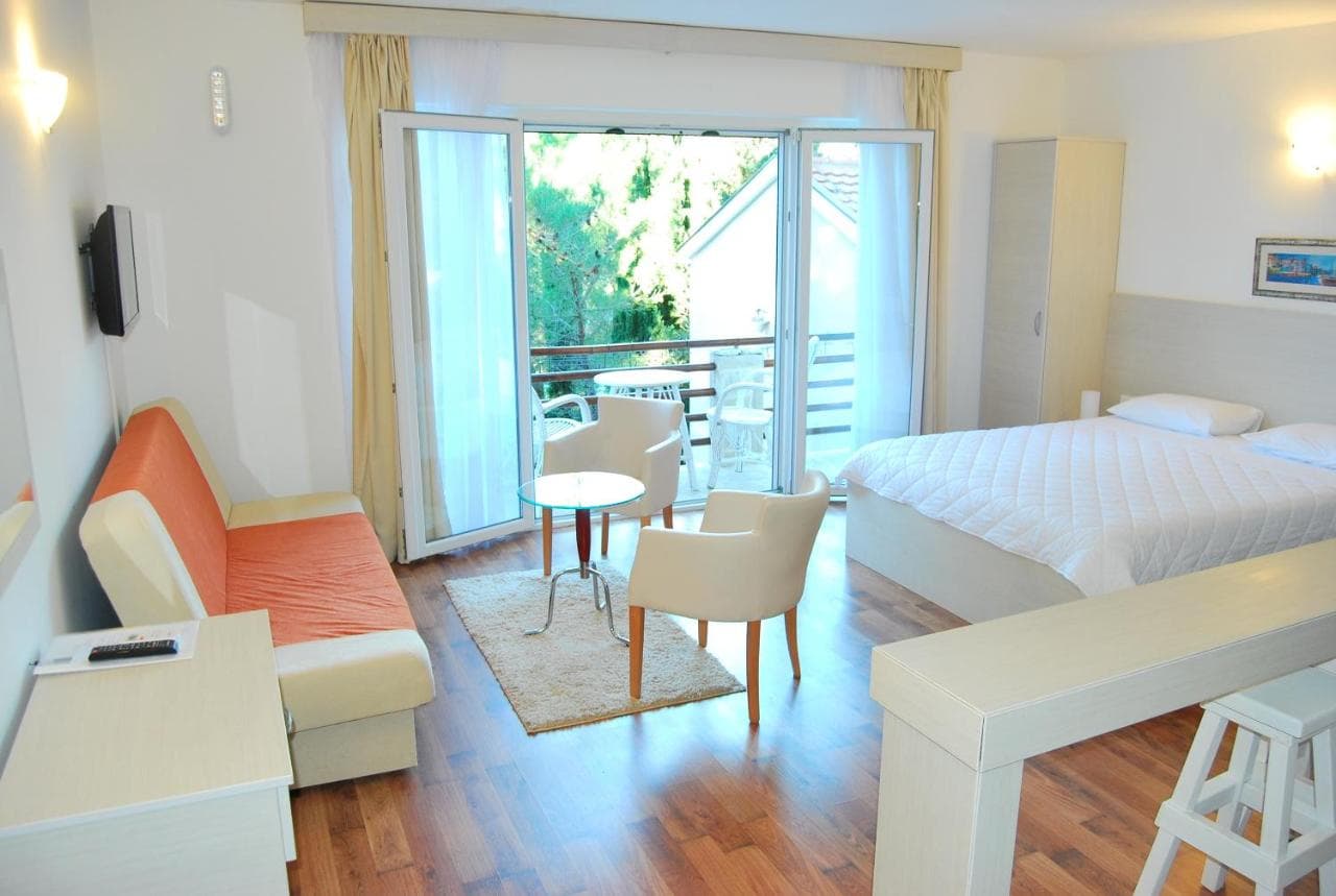
Dónde dormir cerca de Lipci — Herceg Novi, a 11 km
Todos los alojamientos en Herceg Novi →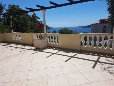


La guía completa
Leer la guía de Lipci
Todo lo anterior es la versión corta. La guía tiene las fuentes, los códigos de sector, las fechas de muestreo y lo que cambia dentro de una temporada.
Preguntas
- ¿Dónde está la playa escondida de Lipci?
- Bajo el yacimiento de arte rupestre, por un estrecho sendero de hormigón desde el aparcamiento junto a la carretera en la M-1. OpenStreetMap no la cartografía; nuestra guía describe una franja de guijarros y unas pocas rocas planas para tomar el sol.
- ¿Es profunda el agua?
- La guía dice que es lo bastante profunda para saltar desde las rocas, aunque el resumen general describe agua clara y poco profunda frente a la orilla del pueblo — compruebe usted mismo la profundidad antes de cualquier salto. El agua alcanza unos 25 °C hacia agosto.
- ¿Dónde está la comida, tienda o cámping más cercanos?
- Morinj, 1.7 km al oeste: una tienda, dos autocámpings, una playa con bar en temporada y el restaurante Ćatovića Mlini junto a los viejos molinos. Risan, 4.8 km al este, tiene supermercados y cajeros automáticos.
Fuentes
- montenegro.com — Lipci guide (/cities/lipci/lipci-comprehensive-travel-guide)
- montenegro.com — Lipci hub (/cities/lipci) and its source notes (Overpass features around the village node, OSRM distances)
- OpenStreetMap — village node 717359007 (Nominatim); parking way 1527881742, node 2313528091, lay-by way 1262012912; no natural=beach mapped at Lipci