
Lipci
Une bande de galets et de rochers plats en contrebas des cerfs préhistoriques de Lipci, accessible par un étroit chemin en béton, avec une eau claire assez profonde pour y plonger, et rien d’autre du tout.
Notre verdict
C’est la « plage cachée » du guide de Lipci : pas de nom, pas de symbole sur la carte, quelques mètres de galets et de roche plate en contrebas du site d’art rupestre, et une eau que le guide qualifie de cristalline et assez profonde pour y plonger depuis les rochers. Le village lui-même n’a ni hôtel, ni konoba, ni magasin, si bien que la plage est aussi déserte que cela le laisse entendre. Combinez-la avec les gravures au-dessus — la raison pour laquelle la plupart des gens s’arrêtent à Lipci — et avec Morinj, 1,7 km plus loin, pour déjeuner.
- calme
- nage
- snorkeling
Lipci, en quelques repères
Le rivage
Équipements
Accès
Données vérifiées le 28 septembre 2026 · Longueur: Not measured by any source and not mapped on OpenStreetMap; our Lipci guide describes "a strip of pebbles and a few flat rocks" — an order of magnitude, not a survey · 5 points restent à vérifier sur place
Lipci en images
Carte
Y aller
11 km
Herceg Novi
12 km
Tivat airport
12 km
Kotor
Distances à vol d'oiseau — les routes du Monténégro sont des routes de montagne, le trajet est donc plus long.
- En busStops with shelters on the M-1 shore road within 600 m (OpenStreetMap); route names not verified
- En voitureOn the M-1 between Risan (4.8 km) and Morinj (1.7 km); a small parking area near the rock-art path and a free lay-by on the shore road
- 10 min à piedsentier accidenté — From the roadside parking near the rock-art path: a narrow concrete path and then rock down to the water
Aujourd'hui à Lipci
L’orientation est calculée depuis le trait de côte OpenStreetMap : « vers la plage » et « de la terre » désignent ce rivage, pas la région. Prévisions par Open-Meteo
Eau et labels
Station officielle la plus proche
Excellente
Dernier prélèvement officiel 28 septembre 2026 : Excellente
Le suivi n'a pas de point de prélèvement à Lipci. Ce résultat vient de la station Morinj 01, à 1.3 km, à Morinj : la même eau, mais pas ce rivage.
Mer à 20.2 °C lors du prélèvement
6 prélèvements excellents sur 10 durant la saison 2026
Résultat officiel de JP Morsko dobro, station Morinj 01
« Cristalline et assez profonde pour plonger depuis les rochers », selon notre guide ; environ 25 °C en août ; aucune station Morsko Dobro ici
Aucun label que nous puissions citer pour cette plage. L'absence est aussi une information.
À savoir avant de se baigner
- La descente se fait par un étroit chemin en béton puis sur la roche nue — des chaussures adaptées sont nécessaires, et ce n’est pas un itinéraire pour les petits enfants ou les genoux fragiles
- Plonger depuis les rochers : vérifiez vous-même la profondeur à chaque fois — rien n’est balisé et personne ne surveille
- Des bateaux passent de temps en temps dans cette partie de la baie ; le rivage est abrité mais non balisé par des bouées
- Aucune ombre, aucune eau, aucun équipement d’aucune sorte : apportez tout et remportez tout
Quand l'eau est chaude
Lipci a atteint son maximum, 25.8 °C, le 31 août 2026, et son minimum, 16.8 °C, le 25 mai 2026. Chaque point est un prélèvement réel avec la température relevée sur place, et non une moyenne mensuelle recopiée ailleurs.
Les points évidés sont les 4 prélèvements repassés sous « Excellent ».
Voir les 10 prélèvements
| Prélevé | Mer | Résultat |
|---|---|---|
| 28 septembre 2026 | 20.2 °C | Excellente |
| 14 septembre 2026 | 22.4 °C | Suffisante |
| 31 août 2026 | 25.8 °C | Excellente |
| 17 août 2026 | 24.8 °C | Bonne |
| 3 août 2026 | 23.1 °C | Excellente |
| 23 juillet 2026 | 22.0 °C | Suffisante |
| 8 juillet 2026 | 19.2 °C | Excellente |
| 22 juin 2026 | 24.0 °C | Bonne |
| 8 juin 2026 | 17.0 °C | Excellente |
| 25 mai 2026 | 16.8 °C | Excellente |
Plages à proximité



Lipci et ses voisines
Les mêmes neuf mesures pour les plages accessibles dans la journée. Le gras signale une différence avec celle-ci.
| Mesure | Lipcicette plage |  Risan3.3 km Risan3.3 km |  Stoliv5.1 km Stoliv5.1 km |  Bajova Kula6.4 km Bajova Kula6.4 km |
|---|---|---|---|---|
| Sol | galets | galets | plateformes en béton — diffère | galets |
| Entrée | rocheuse | modérée — diffère | abrupte — diffère | modérée — diffère |
| Profondeur | profond rapidement | profond rapidement | profond dès le bord — diffère | profond rapidement |
| Ombre | aucune | aucune | aucune | naturelle — diffère |
| Caractère | sauvage | sauvage | sauvage | aménagée — diffère |
| Longueur | 20–50 m | 200 m — diffère | 100 m — diffère | 118 m — diffère |
| Dernier prélèvement | —pas de point de prélèvement officiel | Excellente — diffère | Excellente — diffère | Excellente — diffère |
| Affluence | calme | calme | calme | calme |
| Accès | en voiture | à pied — diffère | en voiture | en voiture |
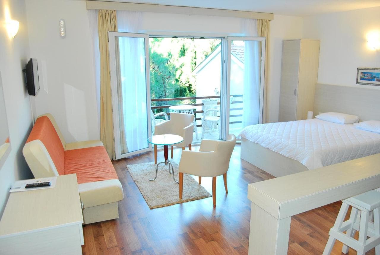
Où dormir près de Lipci — Herceg Novi, à 11 km
Tous les hébergements à Herceg Novi →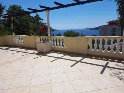


Le guide complet
Lire le guide de Lipci
Tout ce qui précède est la version courte. Le guide contient les sources, les codes de secteur, les dates de prélèvement et ce qui change au cours d'une saison.
Questions
- Où se trouve la plage cachée de Lipci ?
- En contrebas du site d’art rupestre, au bout d’un étroit chemin en béton depuis le parking en bord de route sur la M-1. OpenStreetMap ne la cartographie pas ; notre guide décrit une bande de galets et quelques rochers plats pour se bronzer.
- L’eau est-elle profonde ?
- Le guide la dit assez profonde pour plonger depuis les rochers, bien que notre page de référence décrive une eau claire et peu profonde au large du village — vérifiez vous-même la profondeur avant tout saut. L’eau atteint environ 25 °C en août.
- Où se trouvent le restaurant, le magasin ou le camping les plus proches ?
- Morinj, à 1,7 km à l’ouest : un magasin, deux autocamps, une plage avec un bar en saison et le restaurant Ćatovića Mlini aux vieux moulins. Risan, à 4,8 km à l’est, dispose de supermarchés et de distributeurs automatiques.
Sources
- montenegro.com — Lipci guide (/cities/lipci/lipci-comprehensive-travel-guide)
- montenegro.com — Lipci hub (/cities/lipci) and its source notes (Overpass features around the village node, OSRM distances)
- OpenStreetMap — village node 717359007 (Nominatim); parking way 1527881742, node 2313528091, lay-by way 1262012912; no natural=beach mapped at Lipci