
Lipci
En stripe med småstein og flate klipper nedenfor de forhistoriske hjortene i Lipci, nådd via en smal betongsti, med klart vann dypt nok til å stupe i og ingenting annet i det hele tatt.
Vår dom
Dette er den «skjulte stranden» i Lipci-guiden: intet navn, intet kartsymbol, noen få meter med småstein og flat klippe nedenfor helleristningsstedet, og vann guiden kaller krystallklart og dypt nok til å stupe fra klippene. Landsbyen selv har hverken hotell, konoba eller butikk, så stranden er akkurat like folketom som det høres ut som. Kombiner den med tegningene ovenfor — grunnen til at de fleste stopper ved Lipci — og med Morinj, 1,7 km videre, til lunsj.
- ro
- svømming
- snorkling
Lipci i fakta
Stranden
Fasiliteter
Adkomst
Fakta verifisert 28. september 2026 · Lengde: Not measured by any source and not mapped on OpenStreetMap; our Lipci guide describes "a strip of pebbles and a few flat rocks" — an order of magnitude, not a survey · 5 opplysninger gjenstår å sjekke på stedet
Lipci i bilder
Kart
Slik kommer du dit
11 km
Herceg Novi
12 km
Tivat airport
12 km
Kotor
Avstander i luftlinje — veiene i Montenegro er fjellveier, så kjøreturen er lengre.
- Med bussStops with shelters on the M-1 shore road within 600 m (OpenStreetMap); route names not verified
- Med bilOn the M-1 between Risan (4.8 km) and Morinj (1.7 km); a small parking area near the rock-art path and a free lay-by on the shore road
- 10 min til fotsulendt sti — From the roadside parking near the rock-art path: a narrow concrete path and then rock down to the water
I dag på Lipci
Retningen er regnet ut fra OpenStreetMap-kystlinjen, så pålands- og fralandsvind gjelder denne stranden og ikke regionen. Værvarsel fra Open-Meteo
Vann og utmerkelser
Nærmeste offisielle målestasjon
Utmerket
Siste offisielle prøve 28. september 2026: Utmerket
Overvåkingen har ingen prøvepunkt ved Lipci. Dette resultatet er fra målestasjonen Morinj 01, 1.3 km unna ved Morinj — samme vann, men ikke denne stranden.
Sjøen 20.2 °C da prøven ble tatt
6 av 10 prøver utmerket i sesongen 2026
Offisielt resultat fra JP Morsko dobro, målestasjon Morinj 01
«Krystallklart og dypt nok til stuping fra klippene» ifølge vår guide; rundt 25 °C innen august; ingen Morsko Dobro-stasjon her
Ingen utmerkelse vi kan dokumentere for denne stranden. Det er også informasjon.
Godt å vite før du bader
- Veien ned er en smal betongsti og deretter bar klippe — skikkelige sko, og ikke en rute for små barn eller dårlige knær
- Stuping fra klippene: sjekk dybden selv hver gang — ingenting er merket, og ingen holder øye med deg
- Båter passerer denne delen av bukten fra tid til annen; kysten er skjermet, men ikke bøyeavgrenset
- Ingen skygge, intet vann, ingen fasiliteter av noe slag: ta med alt inn og ut igjen
Når vannet er varmt
Lipci var varmest, 25.8 °C, den 31. august 2026, og kaldest, 16.8 °C, den 25. mai 2026. Hvert punkt er en faktisk prøvetaking med temperaturen målt på stedet, ikke et månedsgjennomsnitt hentet et annet sted fra.
Åpne punkter er de 4 prøvetakingene som kom tilbake under «Utmerket».
Se alle 10 prøvetakingene
| Prøvetatt | Sjø | Resultat |
|---|---|---|
| 28. september 2026 | 20.2 °C | Utmerket |
| 14. september 2026 | 22.4 °C | Tilfredsstillende |
| 31. august 2026 | 25.8 °C | Utmerket |
| 17. august 2026 | 24.8 °C | God |
| 3. august 2026 | 23.1 °C | Utmerket |
| 23. juli 2026 | 22.0 °C | Tilfredsstillende |
| 8. juli 2026 | 19.2 °C | Utmerket |
| 22. juni 2026 | 24.0 °C | God |
| 8. juni 2026 | 17.0 °C | Utmerket |
| 25. mai 2026 | 16.8 °C | Utmerket |
Offisielt resultat fra JP Morsko dobro, målestasjon Morinj 01
Strender i nærheten



Lipci og nabostrendene
De samme ni målene for strendene du rekker samme dag. Fet skrift betyr at det skiller seg fra denne.
| Mål | Lipcidenne stranden |  Risan3.3 km Risan3.3 km |  Stoliv5.1 km Stoliv5.1 km |  Bajova Kula6.4 km Bajova Kula6.4 km |
|---|---|---|---|---|
| Underlag | rullestein | rullestein | betongplattformer — skiller seg | rullestein |
| Nedgang i vannet | steinete | moderat — skiller seg | bratt — skiller seg | moderat — skiller seg |
| Dybde | blir raskt dypt | blir raskt dypt | dypt fra kanten — skiller seg | blir raskt dypt |
| Skygge | ingen | ingen | ingen | naturlig — skiller seg |
| Karakter | vill | vill | vill | tilrettelagt — skiller seg |
| Lengde | 20–50 m | 200 m — skiller seg | 100 m — skiller seg | 118 m — skiller seg |
| Siste prøve | —ingen offisiell målestasjon | Utmerket — skiller seg | Utmerket — skiller seg | Utmerket — skiller seg |
| Folkemengde | ro | ro | ro | ro |
| Slik kommer du dit | med bil | til fots — skiller seg | med bil | med bil |
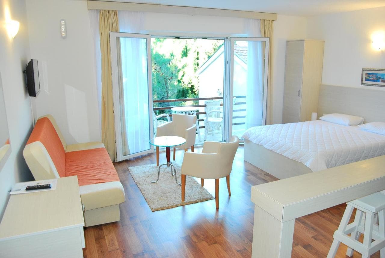
Overnatting nær Lipci — Herceg Novi, 11 km unna
All overnatting i Herceg Novi →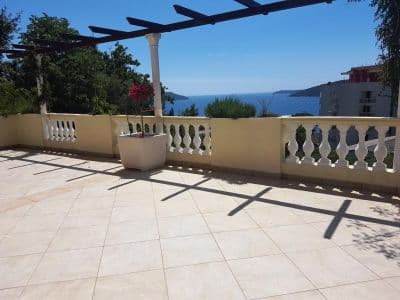


Den fulle guiden
Les guiden til Lipci
Alt over er kortversjonen. Guiden har kildene, sektorkodene, prøvedatoene og det som endrer seg i løpet av en sesong.
Spørsmål
- Hvor er den skjulte stranden ved Lipci?
- Nedenfor helleristningsstedet, ned en smal betongsti fra veikantparkeringen langs M-1. OpenStreetMap kartlegger den ikke; vår guide beskriver en stripe med småstein og noen flate klipper til soling.
- Er vannet dypt?
- Guiden sier dypt nok til stuping fra klippene, mens oversikten beskriver klart, grunt vann utenfor landsbykysten — sjekk dybden selv før du hopper. Vannet når om lag 25 °C innen august.
- Hvor er nærmeste mat, butikk eller campingplass?
- Morinj, 1,7 km vestover: en butikk, to campingplasser, en strand med bar i sesong og restauranten Ćatovića Mlini ved de gamle møllene. Risan, 4,8 km østover, har supermarkeder og minibanker.
Kilder
- montenegro.com — Lipci guide (/cities/lipci/lipci-comprehensive-travel-guide)
- montenegro.com — Lipci hub (/cities/lipci) and its source notes (Overpass features around the village node, OSRM distances)
- OpenStreetMap — village node 717359007 (Nominatim); parking way 1527881742, node 2313528091, lay-by way 1262012912; no natural=beach mapped at Lipci