Strandatlaset
Rolige, selv i august
22 av de 39 strendene i atlaset.

Budva-rivieraen
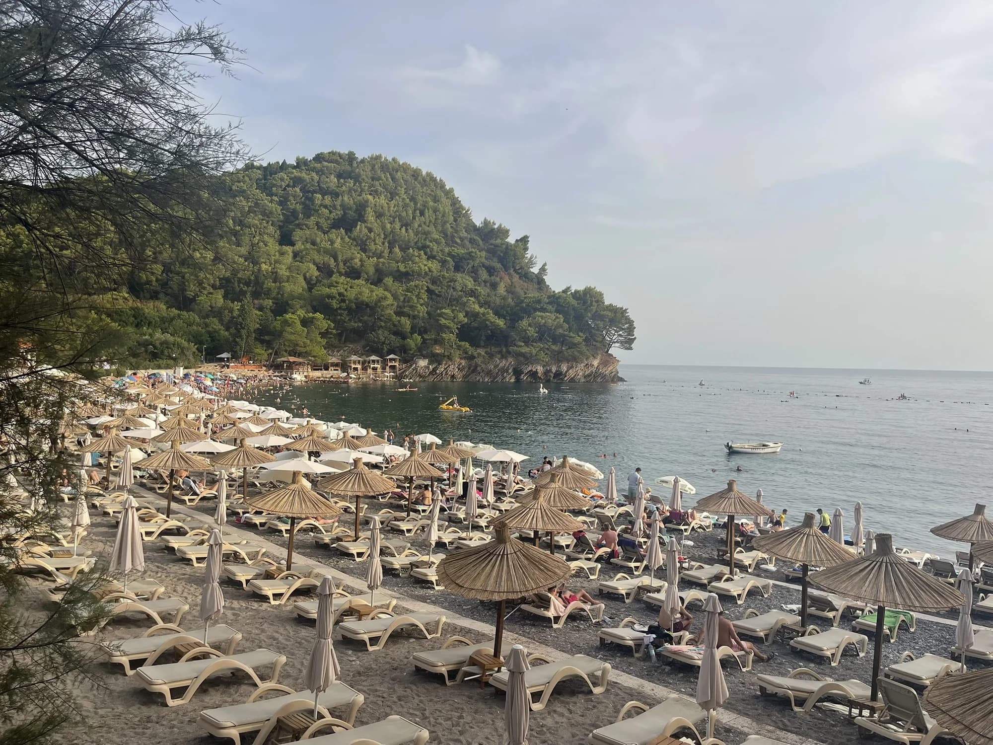
Queen's BeachKraljičina plaža
En vik med lys sand og småstein i Miločer-parken, oppkalt etter dronning Marija på 1930-tallet og igjen forbeholdt Aman-gjester siden juli 2026.
- Underlag
- sand og fin rullestein
- Inngang
- inngang slak
- Karakter
- tilrettelagt
- Lengde
- 100–200 m
Budva-rivieraen
Lučice
En 220 meter lang vik med gyllen sand mellom to furukledde nes, femten minutters gange fra Petrovac og et Blått Flagg-sted i 2026.
- Underlag
- sand og fin rullestein
- Inngang
- inngang slak
- Karakter
- tilrettelagt
- Lengde
- 220–250 m

Herceg Novi-rivieraen
Mirišta
Den 200 meter lange steinviken ti minutter langs kyststien fra Žanjice, under fortet Arza, med trær over bakre del av stranden og en brøkdel av båtene.
- Underlag
- rullestein
- Inngang
- inngang moderat
- Karakter
- tilrettelagte og frie deler
- Lengde
- 200 m
Ulcinj-rivieraen
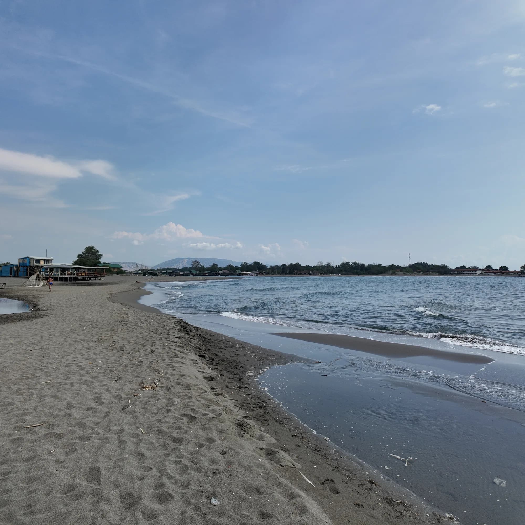
Ada Bojana
En trekantet øy av fin sand ved munningen av Bojana, om lag 3 km åpen strand med en skiltet naturistseksjon, kiteskoler og fiskerestauranter på påler over elven.
- Underlag
- fin sand
- Inngang
- inngang slak
- Karakter
- tilrettelagte og frie deler
- Lengde
- 3 km

Herceg Novi-rivieraen
Dobreč
En 100 meter lang steinvik på Lušticas ytre kyst uten vei dit: båten fra Herceg Novi er eneste vei inn og eneste vei ut.
- Underlag
- rullestein
- Inngang
- inngang moderat
- Karakter
- vill
- Lengde
- 100 m
Budva-rivieraen
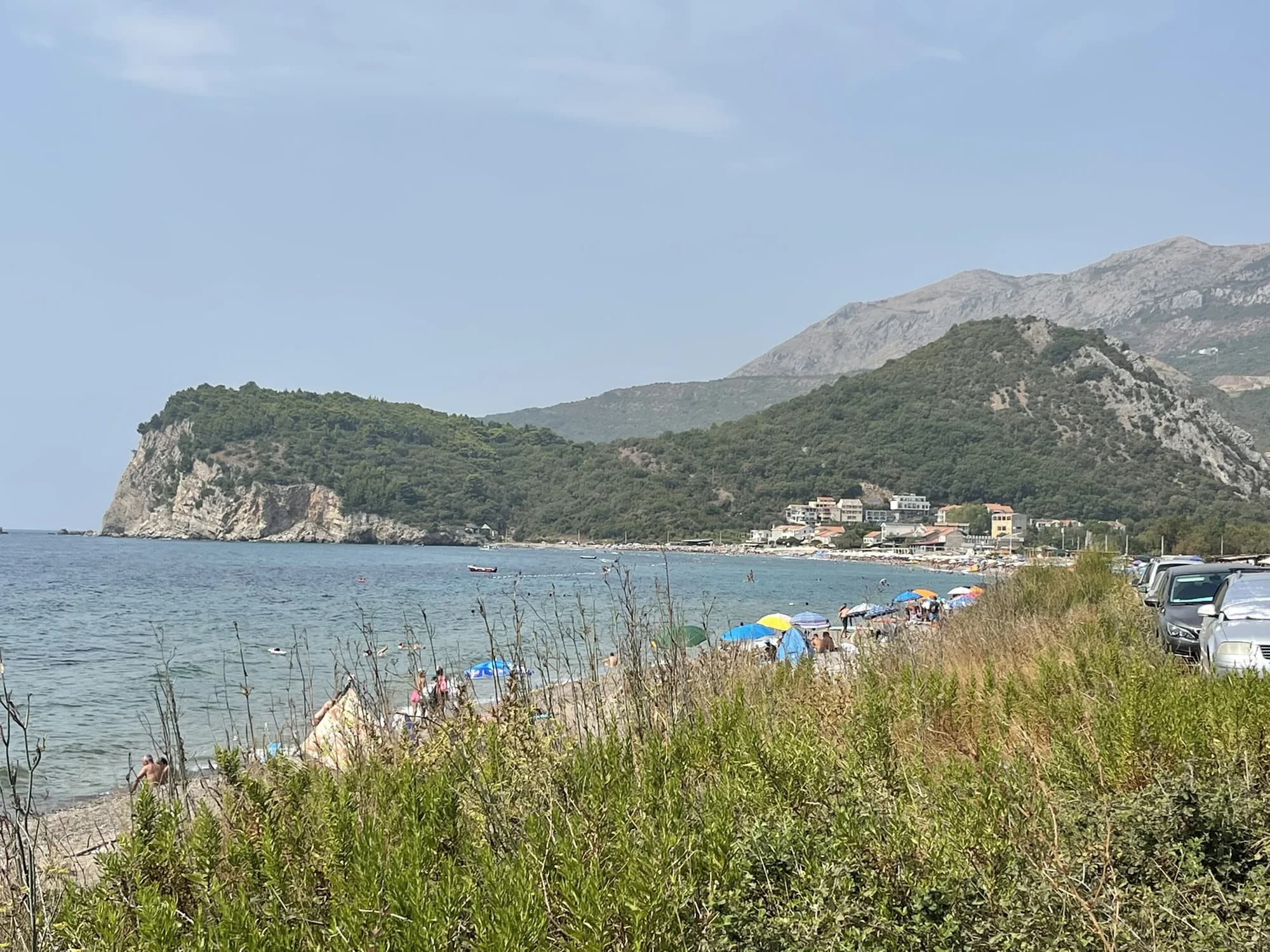
Buljarica
Den lengste stranden på Budva-rivieraen — 2250 meter med sand, grus og stein, med et beskyttet våtmarksområde bak seg, og nesten ingenting bygget på den.
- Underlag
- sand og fin rullestein
- Inngang
- inngang moderat
- Karakter
- tilrettelagte og frie deler
- Lengde
- 2.2–2.5 km

Herceg Novi-rivieraen
NjiviceKraljičina plaža
Montenegros siste strand vestover: klippe, sand og betong å bade fra nedenfor en grend på 102 innbyggere, med Prevlaka og Kroatia 4 km unna over vannet.
- Underlag
- berg
- Inngang
- inngang steinete
- Karakter
- tilrettelagte og frie deler
- Lengde
- 200 m
Budva-rivieraen
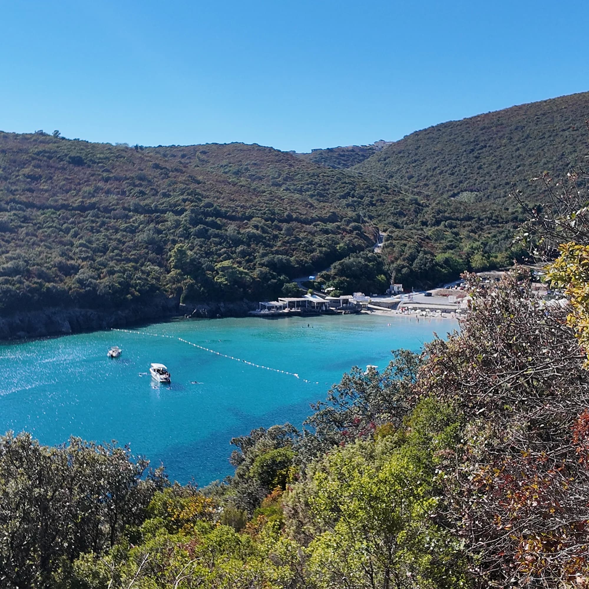
TrstenoPlaža Trsteno
En 150 meter lang sandvik vest for Jaz der en voksen fortsatt kan stå langt ute i klart vann, drevet av én strandklubb og nådd via en smal vei eller med båt.
- Underlag
- sand
- Inngang
- inngang slak
- Karakter
- tilrettelagt
- Lengde
- 150 m

Kotorbukta
Bajova KulaBajova kula
En 100 meter lang steinstrand ved Dražin Vrt langs veien Kotor–Risan, oppkalt etter Bajo Pivljanins tårn ovenfor, med Perast på den andre siden av vannet.
- Underlag
- rullestein
- Inngang
- inngang moderat
- Karakter
- tilrettelagt
- Lengde
- 118 m

Kotorbukta
Orahovac
Fire steinviker mellom steinbrygger, det kaldeste og friskeste havet i bukta — 24 promille salt sent i mai 2026 — og utmerket ved hver eneste offisielle prøve.
- Underlag
- rullestein
- Inngang
- inngang moderat
- Karakter
- vill
- Lengde
- 150 m

Kotorbukta
Stoliv
Ingen strand i det hele tatt — betongplattformer og pontonger på kapteinenes vannkant i Donji Stoliv, vendt mot Perast over flatt vann, med kastanjeskogene i den øvre landsbyen bak.
- Underlag
- betongplattformer
- Inngang
- inngang bratt
- Karakter
- vill
- Lengde
- 100 m

Kotorbukta
Risan
Steinviker på begge sider av havnen i den eldste byen ved bukta, med Orjen-toppene speilet i det flate vannet og en romersk mosaikk av søvnguden 300 m fra kysten.
- Underlag
- rullestein
- Inngang
- inngang moderat
- Karakter
- vill
- Lengde
- 200 m

Herceg Novi-rivieraen
Rose
En steinkyst og en aktiv kai i fiskerlandsbyen ved tuppen av Luštica, nådd med fergen fra Herceg Novi snarere enn med bil.
- Underlag
- rullestein
- Inngang
- inngang moderat
- Karakter
- vill
- Lengde
- 80–150 m

Kotorbukta
Morinj
En 165 meter lang stripe med sand og grå småstein i hjørnet av bukten der en kald bekk kommer ut av karsten, med to campingplasser bak og mølle-restauranten ovenfor veien.
- Underlag
- sand og fin rullestein
- Inngang
- inngang slak
- Karakter
- tilrettelagte og frie deler
- Lengde
- 165 m

Kotorbukta
Lipci
En stripe med småstein og flate klipper nedenfor de forhistoriske hjortene i Lipci, nådd via en smal betongsti, med klart vann dypt nok til å stupe i og ingenting annet i det hele tatt.
- Underlag
- rullestein
- Inngang
- inngang steinete
- Karakter
- vill
- Lengde
- 20–50 m

Kotorbukta
Ljuta
En betongbadeplattform på kystveien i Dobrota ved munningen av en 200 meter lang elv som kommer ut av fjellet ved 7 °C — det kaldeste badet i bukta.
- Underlag
- betongplattformer
- Inngang
- inngang bratt
- Karakter
- vill
- Lengde
- 10–30 m
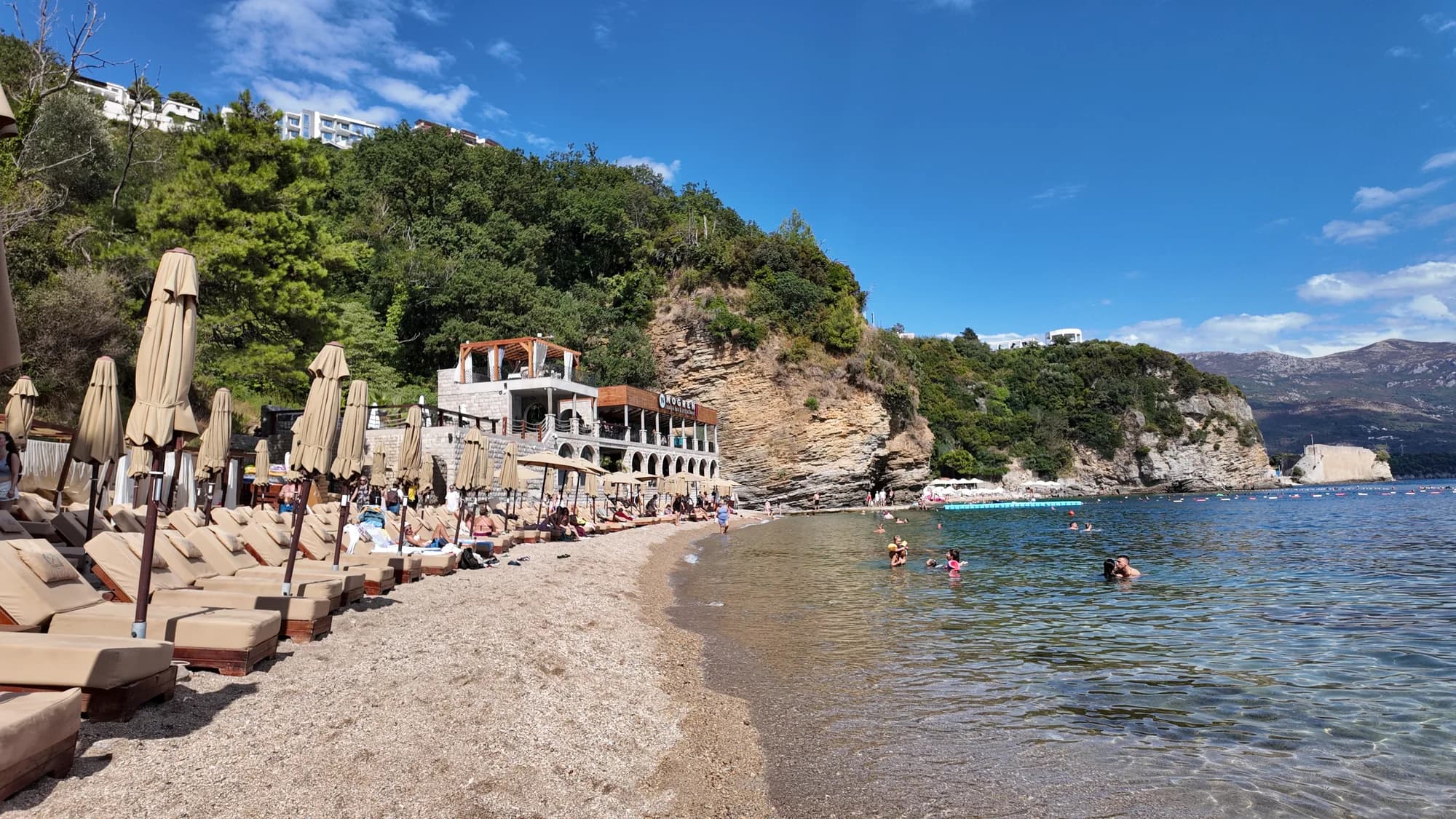
Budva-rivieraen
Mogren IIMogren II
The farther of Budva’s two Mogren coves, through a tunnel in the rock, and the quieter one for it.
- Underlag
- sand
- Inngang
- inngang slak
- Karakter
- tilrettelagte og frie deler
- Lengde
- 170 m
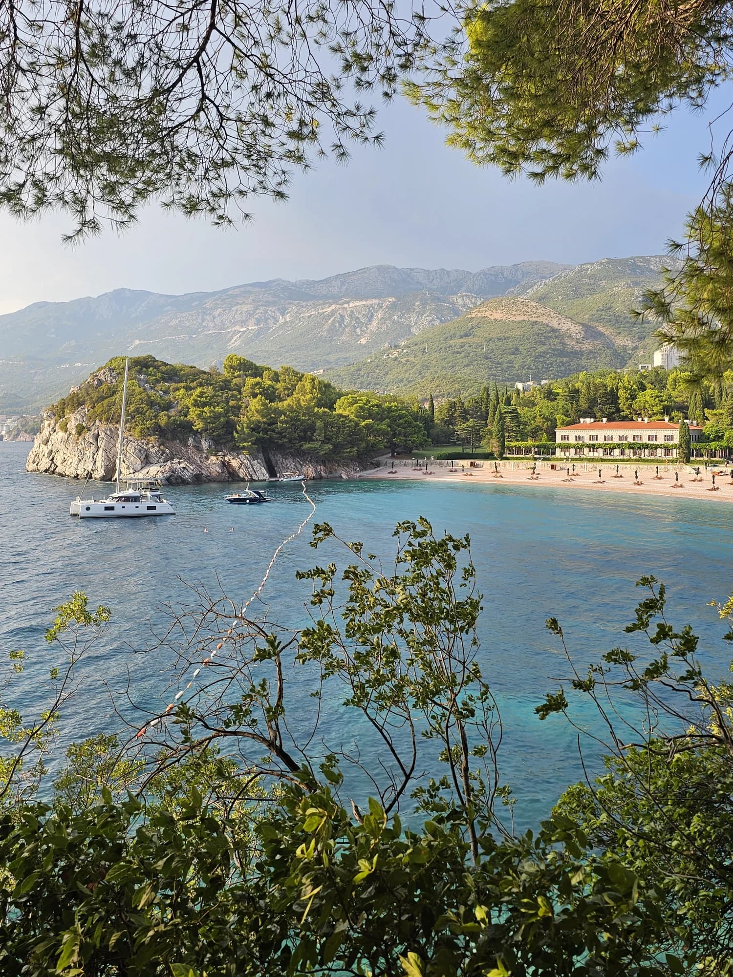
Budva-rivieraen
Miločer BeachPlaža Miločer · Kraljeva plaža
A 280-metre strand of pale pink sand and pebble in front of Villa Miločer, backed by the old royal park and wrapped around a clear turquoise bay.
- Underlag
- sand og fin rullestein
- Inngang
- inngang slak
- Karakter
- tilrettelagt
- Lengde
- 280 m

Budva-rivieraen
Drobni PijesakDrobni pijesak
En 250 meter lang vik med gulhvit sand og småstein nedenfor olivenlundene mellom Sveti Stefan og Petrovac, med en ferskvannskilde på stranden.
- Underlag
- sand og fin rullestein
- Inngang
- inngang moderat
- Karakter
- tilrettelagte og frie deler
- Lengde
- 250 m
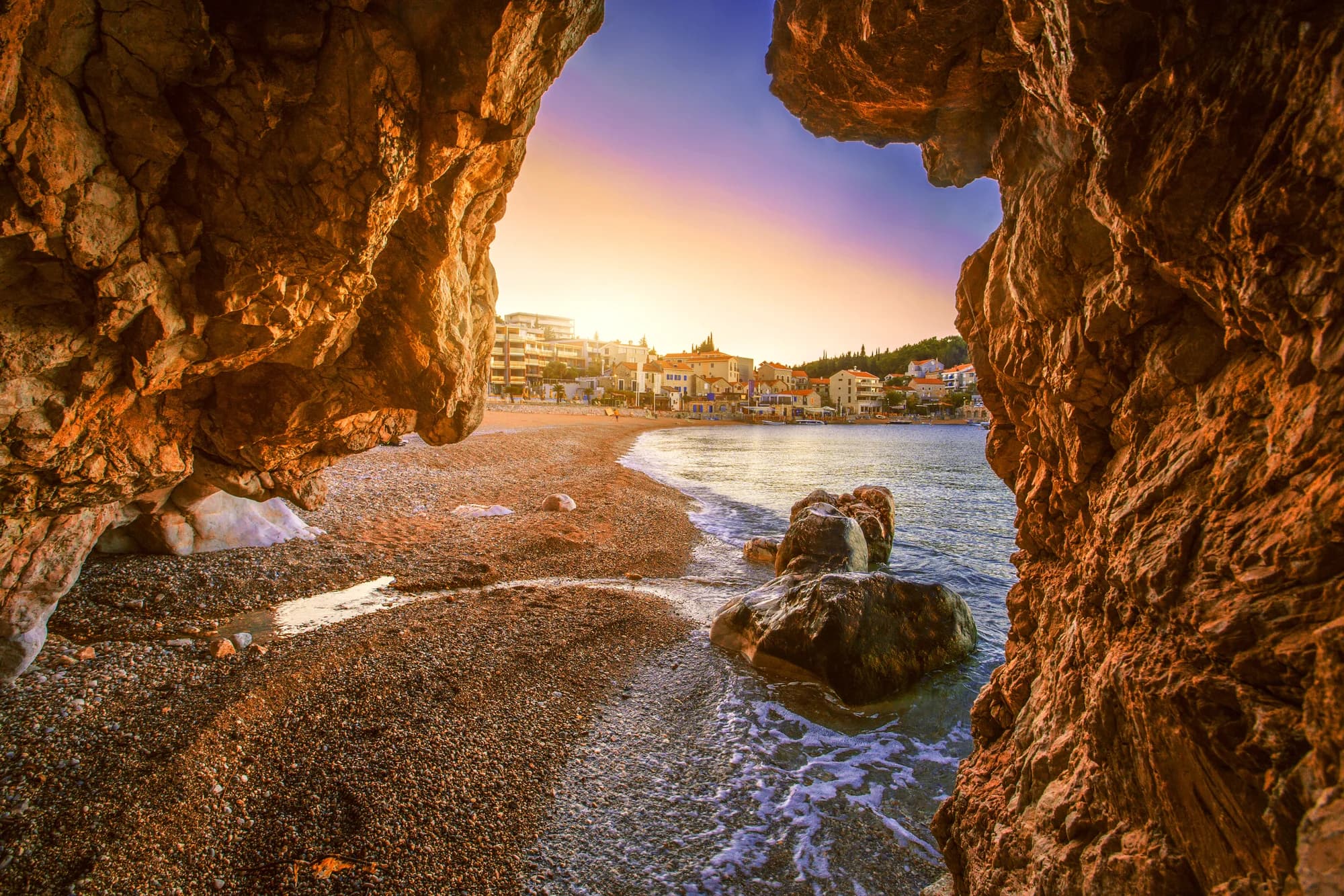
Bar-rivieraen
Čanj
En 1,1–1,2 km lang strand av sand, småstein og stein mellom Petrovac og Sutomore, med alle tre offisielle vannmålepunkter vurdert som utmerket i august 2026, og en bukt som bare nås med båt, Kraljičina plaža, rundt neset.
- Underlag
- sand og fin rullestein
- Inngang
- inngang moderat
- Karakter
- tilrettelagt
- Lengde
- 1100–1200 m
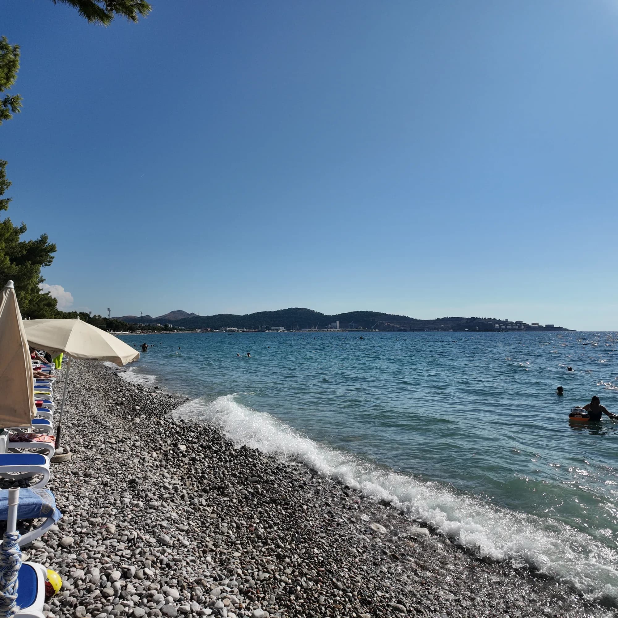
Bar-rivieraen
Žukotrlica
En kilometer med småstein under modne aleppofuruer i nordenden av Bars sjøfront, starten på den 3,6 km lange Kongepromenaden og bystranden lokalbefolkningen bruker.
- Underlag
- rullestein
- Inngang
- inngang moderat
- Karakter
- tilrettelagte og frie deler
- Lengde
- 1000 m
Ulcinj-rivieraen
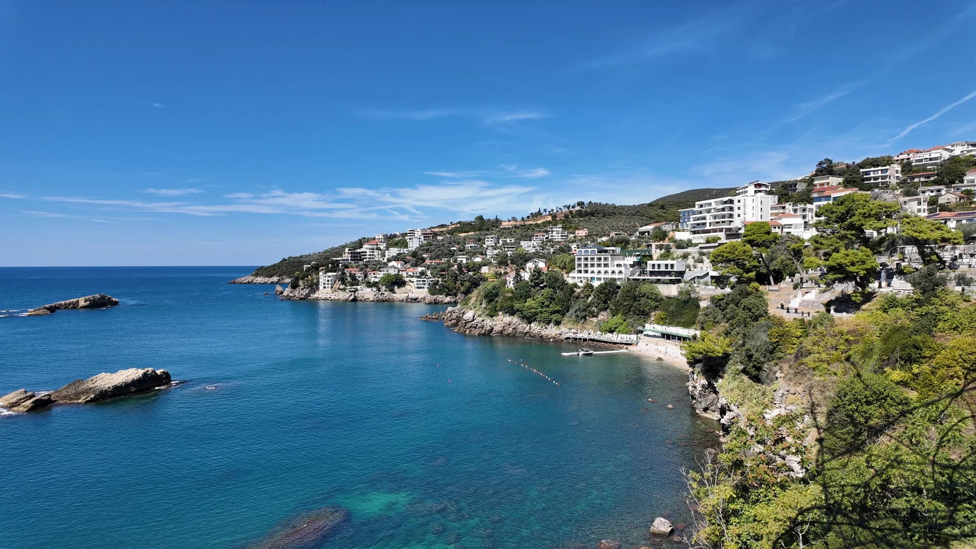
Women's BeachŽenska plaža
En skjermet vik øst for Ulcinj med en svovelkilde på grunt vann, drevet som et kvinnebadeområde fra mai til oktober og besøkt for en fruktbarhetstradisjon eldre enn noen av operatørene.
- Underlag
- rullestein
- Inngang
- inngang steinete
- Karakter
- tilrettelagt
- Lengde
- 50–100 m