Der Strandatlas
Ruhig, auch im August
22 der 39 Strände im Atlas.

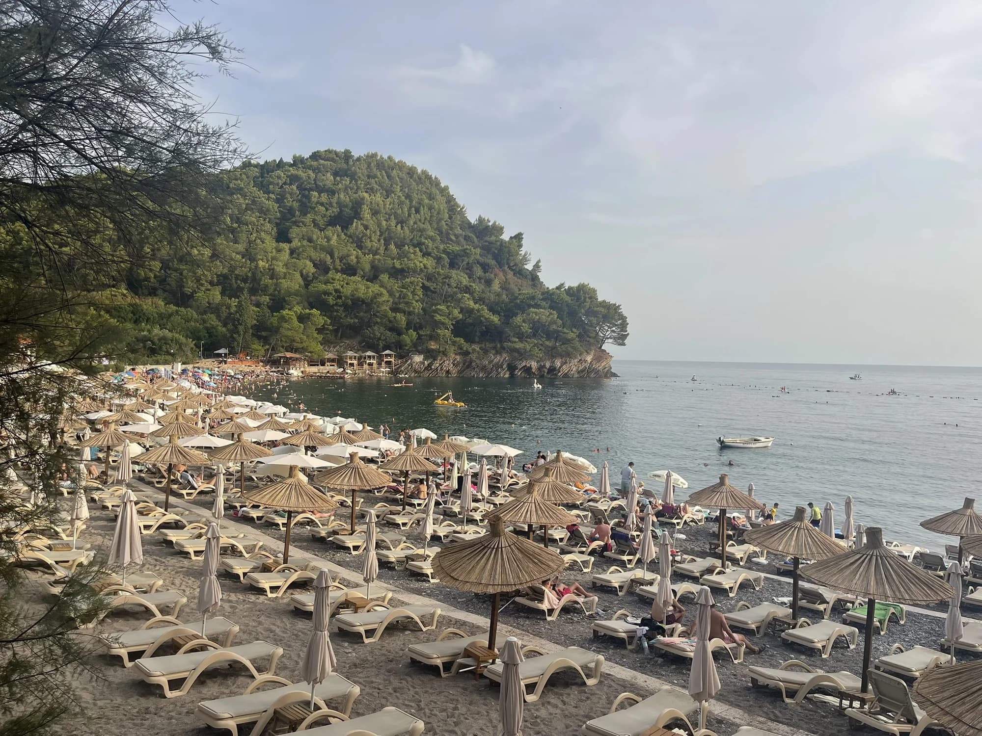
Riviera von Budva
Queen's BeachKraljičina plaža
Eine Bucht aus hellem Sand und Kies im Park von Miločer, in den 1930er-Jahren nach Königin Marija benannt und seit Juli 2026 wieder den Gästen des Aman vorbehalten.
- Untergrund
- Sand und feiner Kies
- Einstieg
- einstieg flach
- Charakter
- bewirtschaftet
- Länge
- 100–200 m
Riviera von Budva
Lučice
Eine 220 Meter lange Bucht aus goldenem Sand zwischen zwei mit Pinien bewachsenen Landzungen, fünfzehn Minuten zu Fuß von Petrovac entfernt und 2026 mit Blauer Flagge ausgezeichnet.
- Untergrund
- Sand und feiner Kies
- Einstieg
- einstieg flach
- Charakter
- bewirtschaftet
- Länge
- 220–250 m

Riviera von Herceg Novi
Mirišta
Die 200 Meter lange Kiesbucht, zehn Minuten auf dem Küstenweg von Žanjice entfernt, unterhalb des Forts Arza, mit Bäumen über dem hinteren Strandbereich und einem Bruchteil der Boote.
- Untergrund
- Kies
- Einstieg
- einstieg mäßig
- Charakter
- bewirtschaftete und freie Abschnitte
- Länge
- 200 m
Riviera von Ulcinj
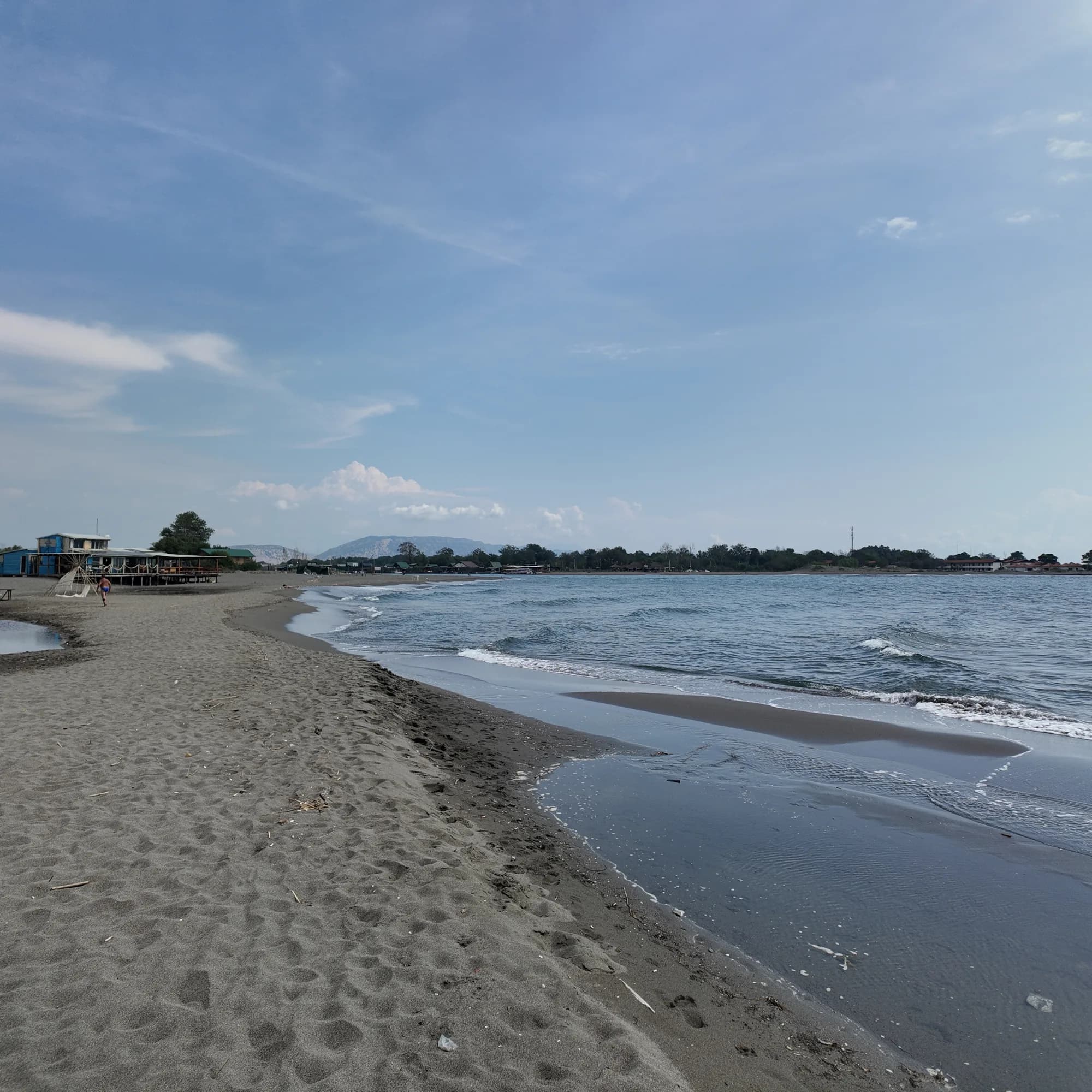
Ada Bojana
Eine dreieckige Insel aus feinem Sand an der Mündung der Bojana, rund 3 km offener Strand mit ausgeschildertem Naturistenbereich, Kiteschulen und Fischrestaurants auf Stelzen über dem Fluss.
- Untergrund
- feiner Sand
- Einstieg
- einstieg flach
- Charakter
- bewirtschaftete und freie Abschnitte
- Länge
- 3 km

Riviera von Herceg Novi
Dobreč
Eine 100 Meter lange Kiesbucht an der Außenküste von Luštica ohne Straßenzugang: Das Boot aus Herceg Novi ist der einzige Weg hin und zurück.
- Untergrund
- Kies
- Einstieg
- einstieg mäßig
- Charakter
- wild
- Länge
- 100 m
Riviera von Budva
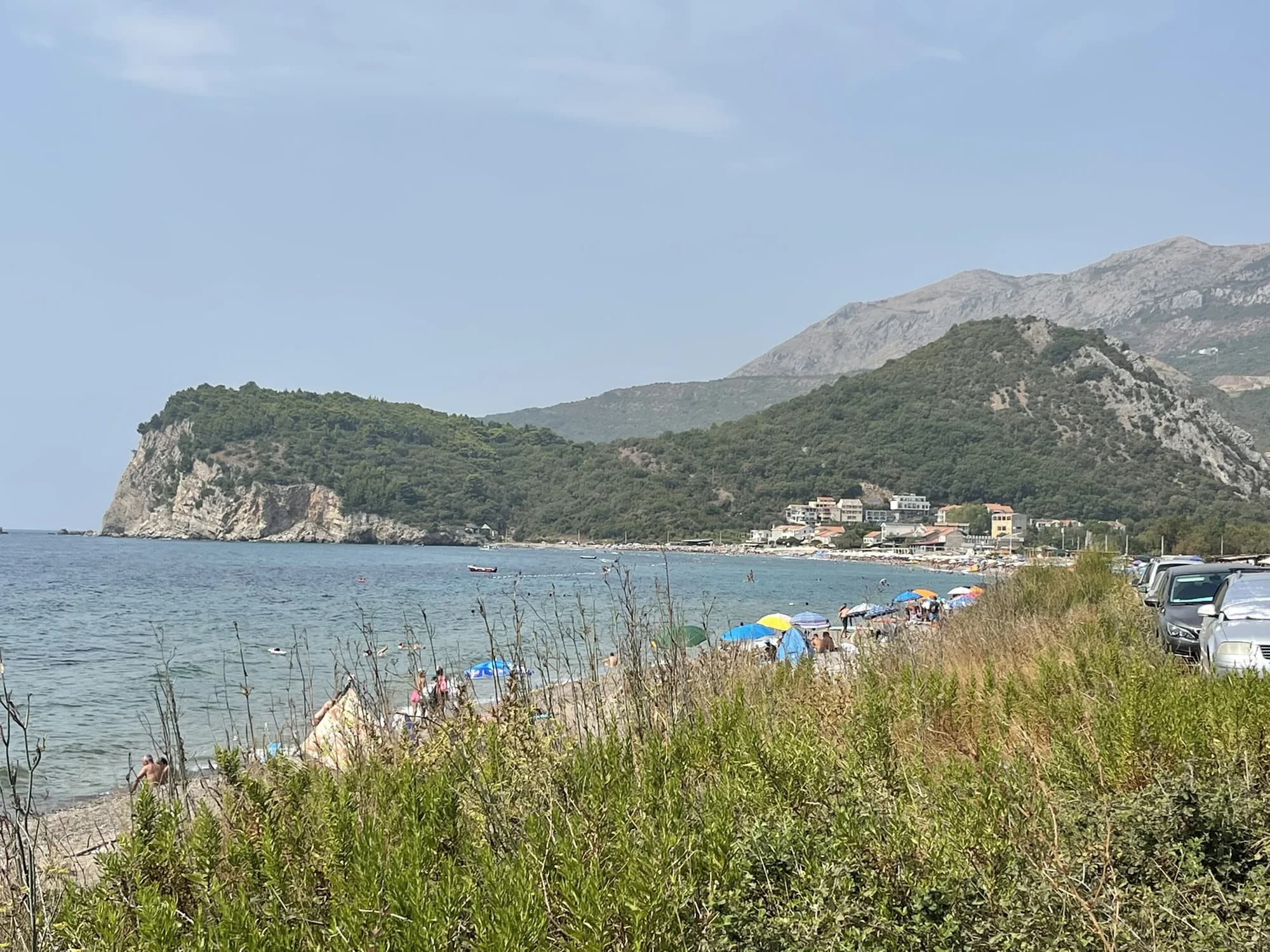
Buljarica
Der längste Strand der Budva-Riviera — 2.250 Meter Sand, Kies und Stein, dahinter ein geschütztes Feuchtgebiet, fast unbebaut.
- Untergrund
- Sand und feiner Kies
- Einstieg
- einstieg mäßig
- Charakter
- bewirtschaftete und freie Abschnitte
- Länge
- 2.2–2.5 km

Riviera von Herceg Novi
NjiviceKraljičina plaža
Montenegros letzter Strand nach Westen: Fels, Sand und Beton zum Baden unterhalb eines Weilers mit 102 Einwohnern, mit Prevlaka und Kroatien 4 km entfernt auf der anderen Seite des Wassers.
- Untergrund
- Fels
- Einstieg
- einstieg felsig
- Charakter
- bewirtschaftete und freie Abschnitte
- Länge
- 200 m
Riviera von Budva
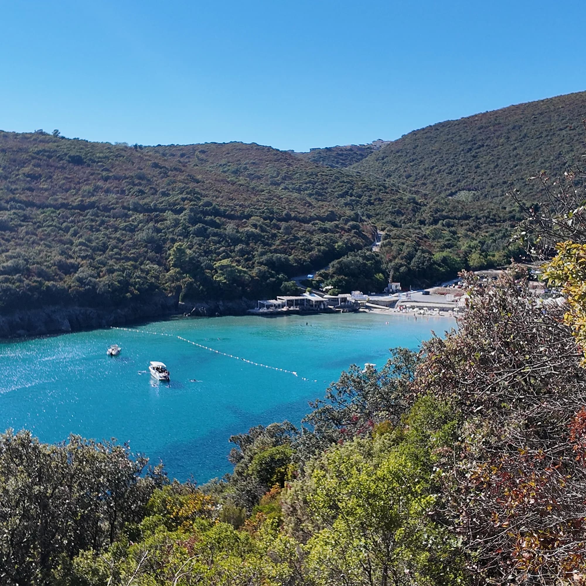
TrstenoPlaža Trsteno
Eine 150 Meter lange Sandbucht westlich von Jaz, in der ein Erwachsener noch weit draußen im klaren Wasser stehen kann, betrieben von einem einzigen Beach-Club und über eine schmale Zufahrt oder per Boot erreichbar.
- Untergrund
- Sand
- Einstieg
- einstieg flach
- Charakter
- bewirtschaftet
- Länge
- 150 m

Bucht von Kotor
Bajova KulaBajova kula
Ein 100 Meter langer Kiesstrand bei Dražin Vrt an der Straße Kotor–Risan, benannt nach dem darüber liegenden Turm von Bajo Pivljanin, mit Perast auf der anderen Seite der Bucht.
- Untergrund
- Kies
- Einstieg
- einstieg mäßig
- Charakter
- bewirtschaftet
- Länge
- 118 m

Bucht von Kotor
Orahovac
Vier Kiesbuchten zwischen Steinstegen, das kälteste und frischeste Meer der Bucht — 24 Promille Salzgehalt Ende Mai 2026 — und bei jeder offiziellen Probe ausgezeichnet.
- Untergrund
- Kies
- Einstieg
- einstieg mäßig
- Charakter
- wild
- Länge
- 150 m

Bucht von Kotor
Stoliv
Überhaupt kein Strand — Betonplattformen und Pontons an der Kapitänspromenade von Donji Stoliv, Perast gegenüber über ruhigem Wasser, mit den Kastanienwäldern des oberen Dorfes dahinter.
- Untergrund
- Betonplattformen
- Einstieg
- einstieg steil
- Charakter
- wild
- Länge
- 100 m

Bucht von Kotor
Risan
Kiesbuchten auf beiden Seiten des Hafens der ältesten Stadt an der Bucht, mit den Gipfeln des Orjen, die sich im ruhigen Wasser spiegeln, und einem römischen Mosaik des Schlafgottes 300 m vom Ufer entfernt.
- Untergrund
- Kies
- Einstieg
- einstieg mäßig
- Charakter
- wild
- Länge
- 200 m

Riviera von Herceg Novi
Rose
Ein Kiesstrand und ein aktiver Kai im Fischerdorf an der Spitze Lušticas, erreichbar mit der Fähre aus Herceg Novi statt über die Straße.
- Untergrund
- Kies
- Einstieg
- einstieg mäßig
- Charakter
- wild
- Länge
- 80–150 m

Bucht von Kotor
Morinj
Ein 165 Meter langer Streifen aus Sand und grauem Kies in der Ecke der Bucht, wo ein kalter Bach aus dem Karst tritt, mit zwei Campingplätzen dahinter und dem Mühlenrestaurant oberhalb der Straße.
- Untergrund
- Sand und feiner Kies
- Einstieg
- einstieg flach
- Charakter
- bewirtschaftete und freie Abschnitte
- Länge
- 165 m

Bucht von Kotor
Lipci
Ein Streifen aus Kies und flachen Felsen unterhalb der prähistorischen Hirsche von Lipci, erreichbar über einen schmalen Betonweg, mit klarem Wasser, das tief genug zum Springen ist, und sonst gar nichts.
- Untergrund
- Kies
- Einstieg
- einstieg felsig
- Charakter
- wild
- Länge
- 20–50 m

Bucht von Kotor
Ljuta
Eine Beton-Badeplattform an der Küstenstraße von Dobrota neben der Mündung eines 200 Meter langen Flusses, der mit 7 °C aus dem Berg kommt — das kälteste Bad in der Bucht.
- Untergrund
- Betonplattformen
- Einstieg
- einstieg steil
- Charakter
- wild
- Länge
- 10–30 m
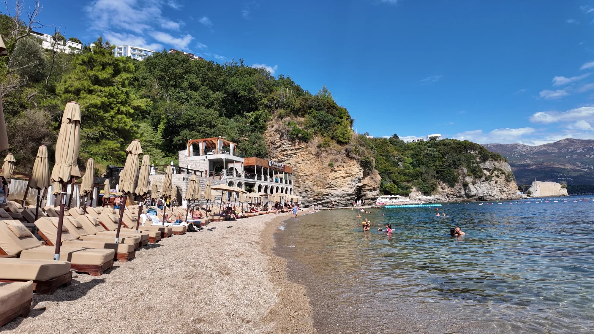
Riviera von Budva
Mogren IIMogren II
The farther of Budva’s two Mogren coves, through a tunnel in the rock, and the quieter one for it.
- Untergrund
- Sand
- Einstieg
- einstieg flach
- Charakter
- bewirtschaftete und freie Abschnitte
- Länge
- 170 m
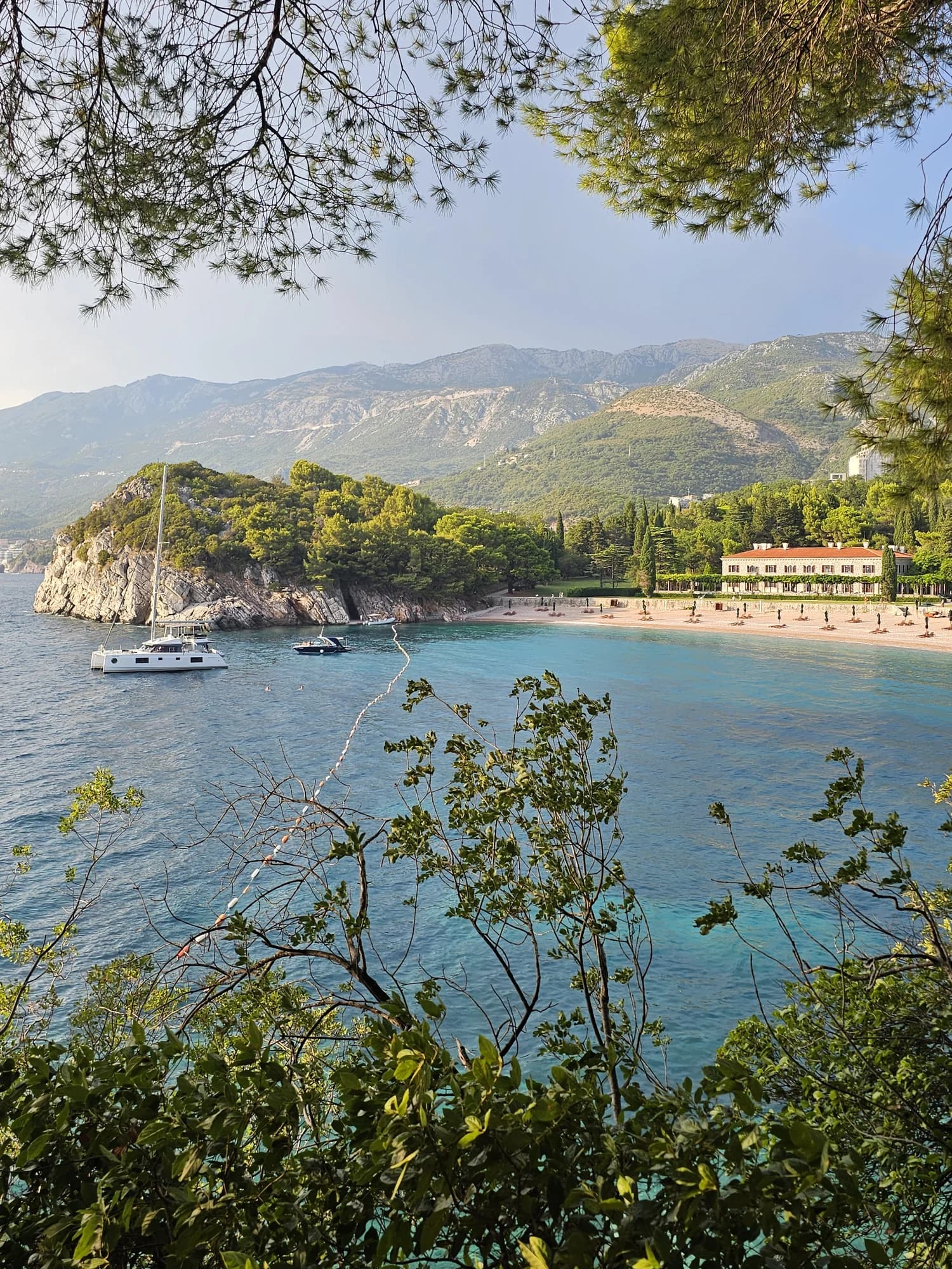
Riviera von Budva
Miločer BeachPlaža Miločer · Kraljeva plaža
A 280-metre strand of pale pink sand and pebble in front of Villa Miločer, backed by the old royal park and wrapped around a clear turquoise bay.
- Untergrund
- Sand und feiner Kies
- Einstieg
- einstieg flach
- Charakter
- bewirtschaftet
- Länge
- 280 m

Riviera von Budva
Drobni PijesakDrobni pijesak
Eine 250 Meter lange Bucht aus gelbweißem Sand und kleinen Kieseln unterhalb der Olivenhaine zwischen Sveti Stefan und Petrovac, mit einer Süßwasserquelle am Strand.
- Untergrund
- Sand und feiner Kies
- Einstieg
- einstieg mäßig
- Charakter
- bewirtschaftete und freie Abschnitte
- Länge
- 250 m
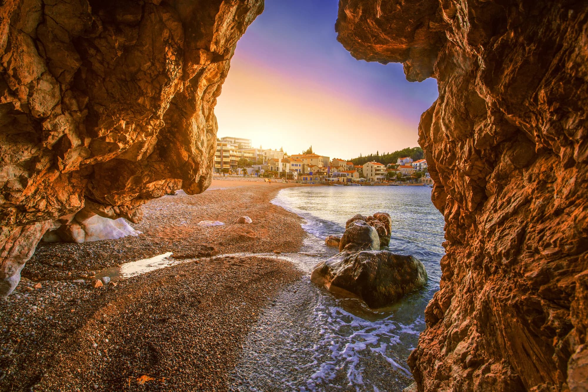
Riviera von Bar
Čanj
Ein 1,1–1,2 km langer Strand aus Sand, Kies und Steinen zwischen Petrovac und Sutomore, mit allen drei offiziellen Messpunkten ausgezeichnet im August 2026 und einer nur per Boot erreichbaren Bucht, Kraljičina plaža, hinter der Landzunge.
- Untergrund
- Sand und feiner Kies
- Einstieg
- einstieg mäßig
- Charakter
- bewirtschaftet
- Länge
- 1100–1200 m
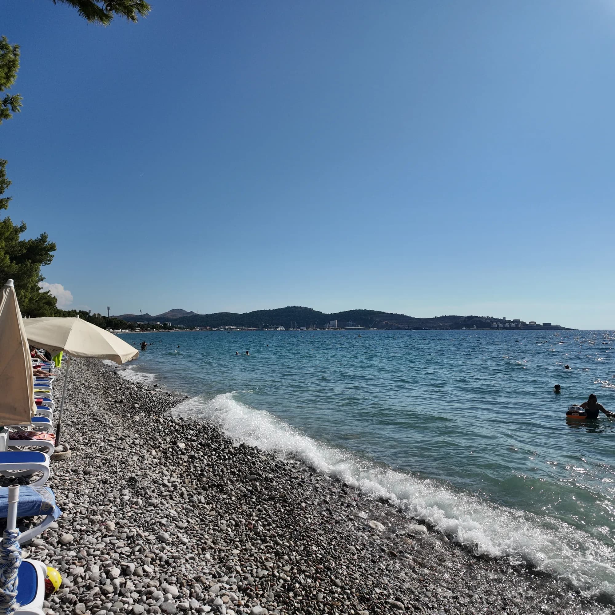
Riviera von Bar
Žukotrlica
Ein Kilometer Kies unter ausgewachsenen Aleppo-Kiefern am nördlichen Ende der Uferpromenade von Bar, der Beginn der 3,6 km langen Königspromenade und der Stadtstrand, den die Einheimischen nutzen.
- Untergrund
- Kies
- Einstieg
- einstieg mäßig
- Charakter
- bewirtschaftete und freie Abschnitte
- Länge
- 1000 m
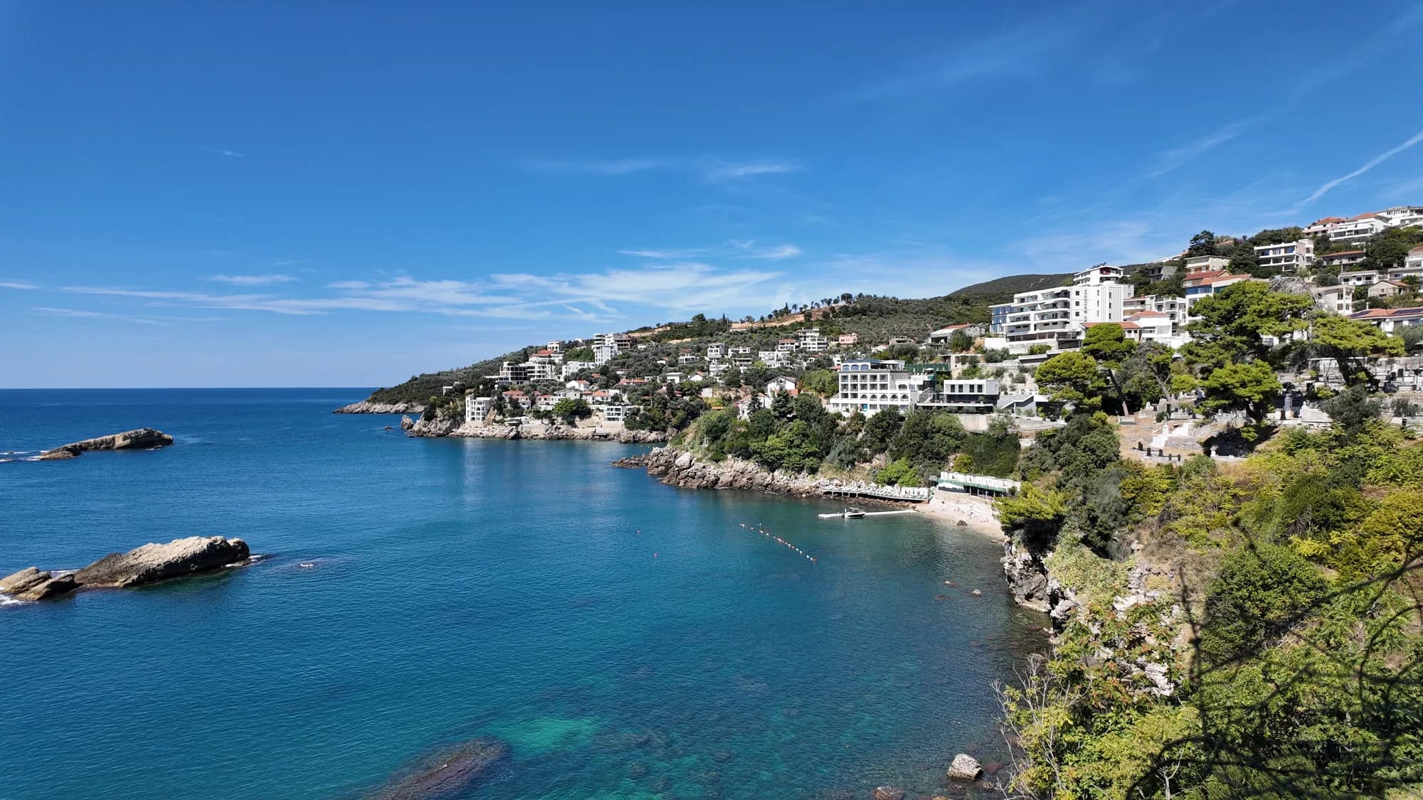
Riviera von Ulcinj
Women's BeachŽenska plaža
Eine abgeschirmte Bucht östlich von Ulcinj mit einer Schwefelquelle in den Untiefen, von Mai bis Oktober als reiner Frauenbadeplatz betrieben und besucht wegen einer Fruchtbarkeitstradition, die älter ist als jeder ihrer Betreiber.
- Untergrund
- Kies
- Einstieg
- einstieg felsig
- Charakter
- bewirtschaftet
- Länge
- 50–100 m