L'atlas des plages
Calmes, même en août
22 des 39 plages de l'atlas.

Riviera de Budva
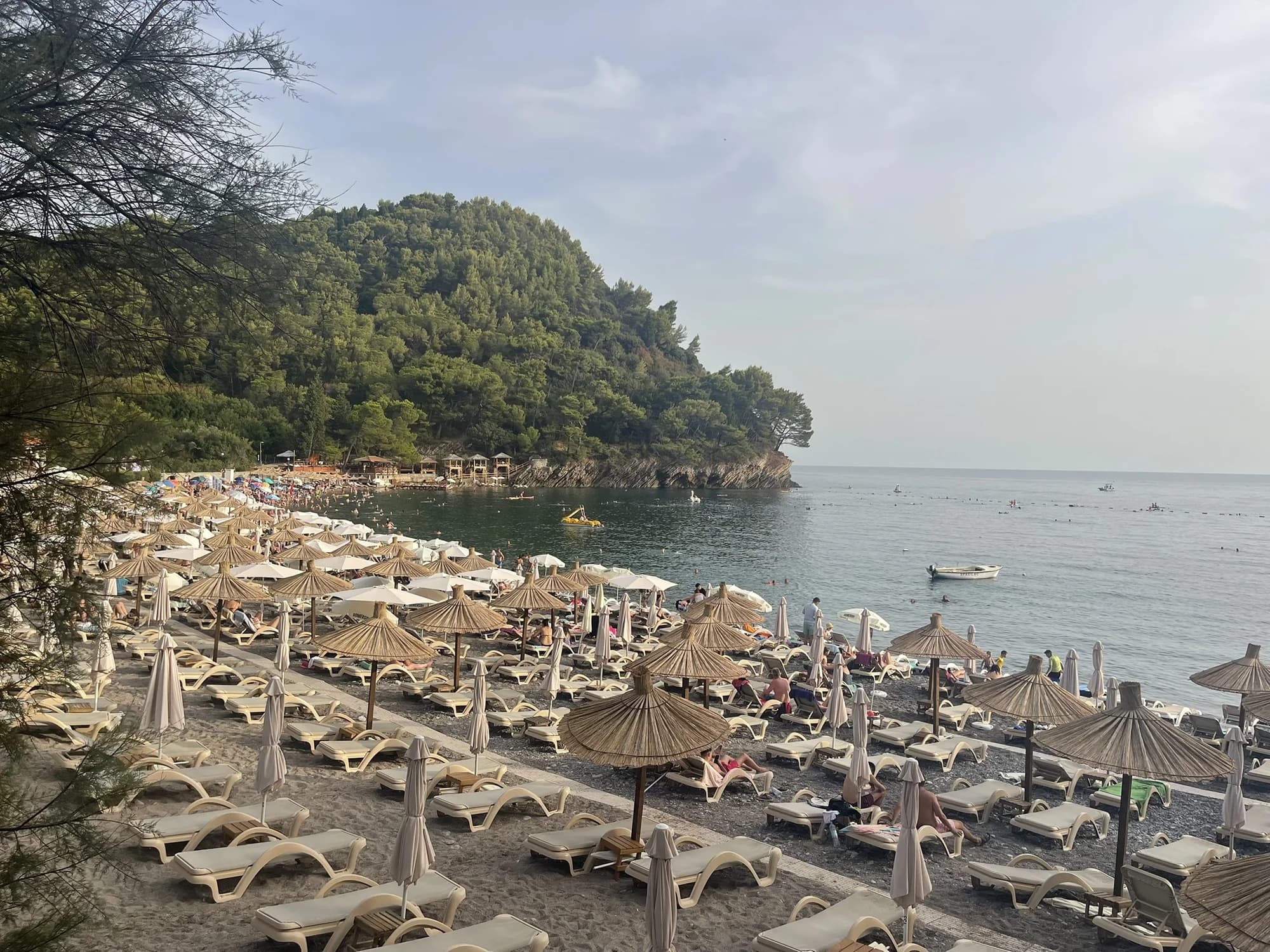
Queen's BeachKraljičina plaža
Une crique de sable et de galets clairs dans le parc de Miločer, nommée en l’honneur de la reine Marija dans les années 1930, et de nouveau réservée aux clients de l’Aman depuis juillet 2026.
- Surface
- sable et petits galets
- Entrée
- entrée douce
- Caractère
- aménagée
- Longueur
- 100–200 m
Riviera de Budva
Lučice
Une crique de 220 mètres de sable doré entre deux caps boisés de pins, à quinze minutes à pied de Petrovac, et site Pavillon Bleu en 2026.
- Surface
- sable et petits galets
- Entrée
- entrée douce
- Caractère
- aménagée
- Longueur
- 220–250 m

Riviera de Herceg Novi
Mirišta
La crique de galets de 200 mètres à dix minutes le long du sentier côtier depuis Žanjice, sous le fort d’Arza, avec des arbres au-dessus de l’arrière-plage et une fraction des bateaux.
- Surface
- galets
- Entrée
- entrée modérée
- Caractère
- parties aménagées et libres
- Longueur
- 200 m
Riviera d'Ulcinj
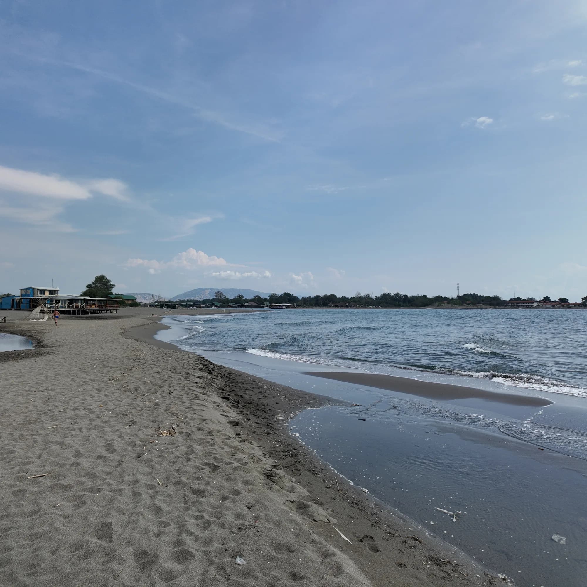
Ada Bojana
Une île triangulaire de sable fin à l’embouchure de la Bojana, environ 3 km de plage ouverte avec une section naturiste signalée, des écoles de kite et des restaurants de poisson sur pilotis au-dessus de la rivière.
- Surface
- sable fin
- Entrée
- entrée douce
- Caractère
- parties aménagées et libres
- Longueur
- 3 km

Riviera de Herceg Novi
Dobreč
Une crique de galets de 100 mètres sur le littoral extérieur de Luštica, sans aucune route : le bateau depuis Herceg Novi est le seul moyen d’y accéder et d’en repartir.
- Surface
- galets
- Entrée
- entrée modérée
- Caractère
- sauvage
- Longueur
- 100 m
Riviera de Budva
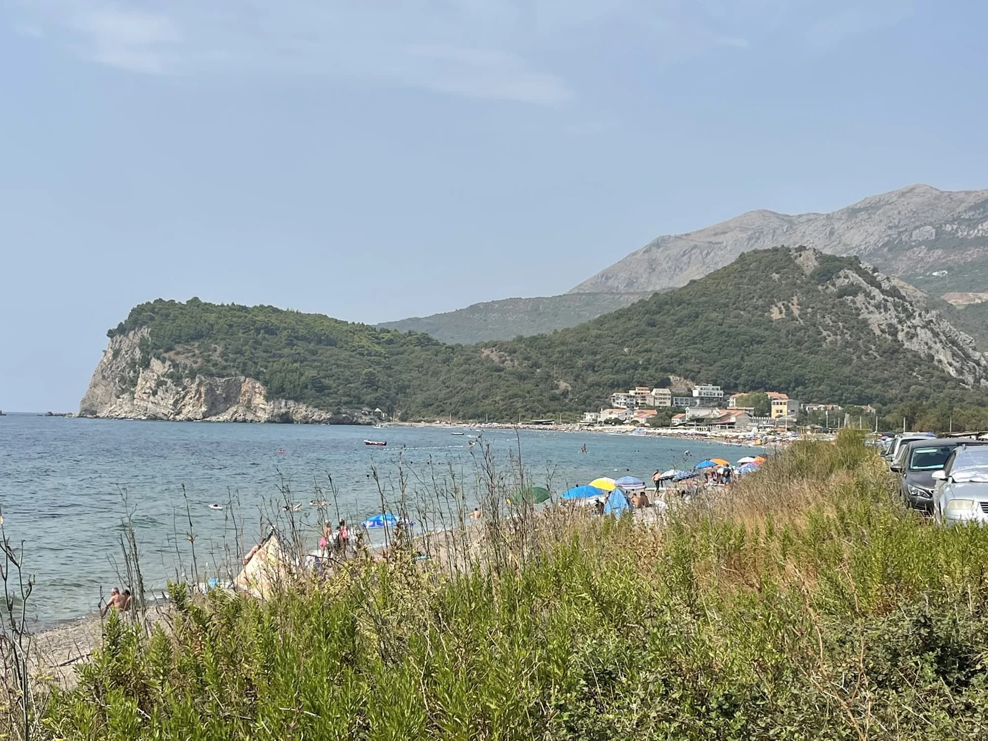
Buljarica
La plus longue plage de la riviera de Budva — 2 250 mètres de sable, de gravier et de pierres, adossés à une zone humide protégée, presque entièrement vierge de constructions.
- Surface
- sable et petits galets
- Entrée
- entrée modérée
- Caractère
- parties aménagées et libres
- Longueur
- 2.2–2.5 km

Riviera de Herceg Novi
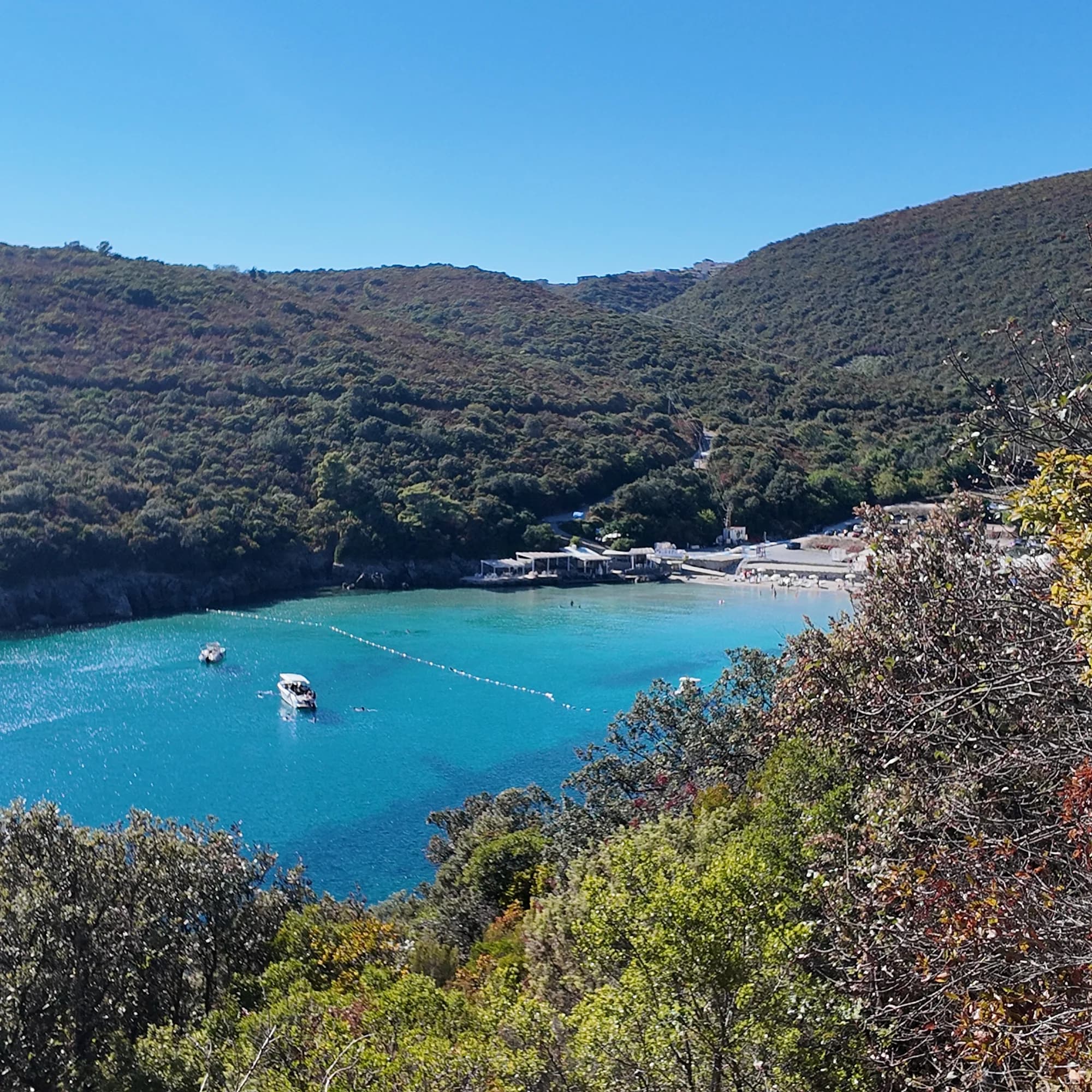
NjiviceKraljičina plaža
La dernière plage du Monténégro en allant vers l’ouest : de la roche, du sable et du béton pour se baigner, en contrebas d’un hameau de 102 habitants, avec Prevlaka et la Croatie à 4 km de l’autre côté de l’eau.
- Surface
- rocher
- Entrée
- entrée rocheuse
- Caractère
- parties aménagées et libres
- Longueur
- 200 m
Riviera de Budva
TrstenoPlaža Trsteno
Une crique de sable de 150 mètres à l’ouest de Jaz, où un adulte peut encore avoir pied loin du bord dans une eau claire, gérée par un seul beach-club et accessible par une route étroite ou par bateau.
- Surface
- sable
- Entrée
- entrée douce
- Caractère
- aménagée
- Longueur
- 150 m

Baie de Kotor
Bajova KulaBajova kula
Une rive de galets de 100 mètres à Dražin Vrt, sur la route Kotor–Risan, qui doit son nom à la tour de Bajo Pivljanin qui la domine, avec Perast de l’autre côté de l’eau.
- Surface
- galets
- Entrée
- entrée modérée
- Caractère
- aménagée
- Longueur
- 118 m

Baie de Kotor
Orahovac
Quatre criques de galets entre des jetées de pierre, la mer la plus froide et la plus douce de la baie — 24 parties pour mille de sel fin mai 2026 — et classée excellente à chaque prélèvement officiel.
- Surface
- galets
- Entrée
- entrée modérée
- Caractère
- sauvage
- Longueur
- 150 m

Baie de Kotor
Stoliv
Aucune plage du tout — des plateformes et des pontons en béton sur le front de mer des capitaines de Donji Stoliv, face à Perast de l’autre côté d’une eau plate, avec les châtaigneraies du village d’en haut à l’arrière.
- Surface
- plateformes en béton
- Entrée
- entrée abrupte
- Caractère
- sauvage
- Longueur
- 100 m

Baie de Kotor
Risan
Des criques de galets de part et d’autre du port de la plus ancienne ville de la baie, avec les sommets de l’Orjen se reflétant dans l’eau plate et une mosaïque romaine du dieu du sommeil à 300 m du rivage.
- Surface
- galets
- Entrée
- entrée modérée
- Caractère
- sauvage
- Longueur
- 200 m

Riviera de Herceg Novi
Rose
Un rivage de galets et un quai en activité dans le village de pêcheurs à la pointe de Luštica, accessible par le ferry depuis Herceg Novi plutôt que par la route.
- Surface
- galets
- Entrée
- entrée modérée
- Caractère
- sauvage
- Longueur
- 80–150 m

Baie de Kotor
Morinj
Une bande de 165 mètres de sable et de galets gris à l’angle de la baie, là où un ruisseau froid sort du karst, avec deux campings à l’arrière et le restaurant des moulins au-dessus de la route.
- Surface
- sable et petits galets
- Entrée
- entrée douce
- Caractère
- parties aménagées et libres
- Longueur
- 165 m

Baie de Kotor
Lipci
Une bande de galets et de rochers plats en contrebas des cerfs préhistoriques de Lipci, accessible par un étroit chemin en béton, avec une eau claire assez profonde pour y plonger, et rien d’autre du tout.
- Surface
- galets
- Entrée
- entrée rocheuse
- Caractère
- sauvage
- Longueur
- 20–50 m

Baie de Kotor
Ljuta
Une plateforme de baignade en béton sur la route littorale de Dobrota, à côté de l’embouchure d’une rivière de 200 mètres qui sort de la montagne à 7 °C — la baignade la plus froide de la baie.
- Surface
- plateformes en béton
- Entrée
- entrée abrupte
- Caractère
- sauvage
- Longueur
- 10–30 m
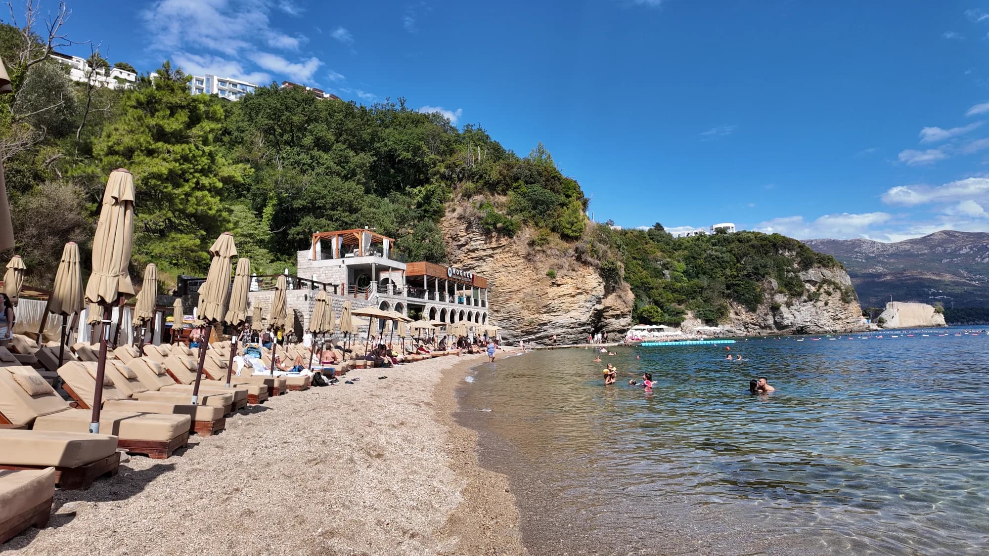
Riviera de Budva
Mogren IIMogren II
The farther of Budva’s two Mogren coves, through a tunnel in the rock, and the quieter one for it.
- Surface
- sable
- Entrée
- entrée douce
- Caractère
- parties aménagées et libres
- Longueur
- 170 m
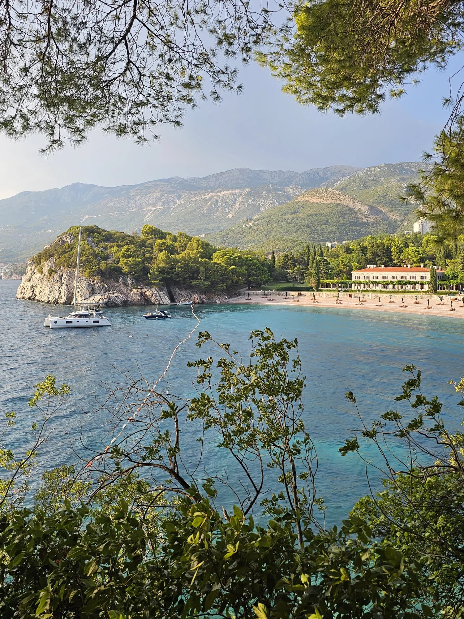
Riviera de Budva
Miločer BeachPlaža Miločer · Kraljeva plaža
A 280-metre strand of pale pink sand and pebble in front of Villa Miločer, backed by the old royal park and wrapped around a clear turquoise bay.
- Surface
- sable et petits galets
- Entrée
- entrée douce
- Caractère
- aménagée
- Longueur
- 280 m

Riviera de Budva
Drobni PijesakDrobni pijesak
Une crique de 250 mètres de sable blanc-jaune et de petits galets, en contrebas des oliveraies entre Sveti Stefan et Petrovac, avec une source d’eau douce sur la plage.
- Surface
- sable et petits galets
- Entrée
- entrée modérée
- Caractère
- parties aménagées et libres
- Longueur
- 250 m
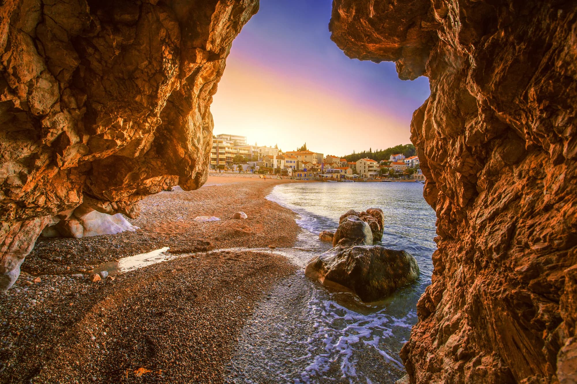
Riviera de Bar
Čanj
Une plage de 1,1 à 1,2 km de sable, de galets et de pierres entre Petrovac et Sutomore, avec ses trois points de contrôle officiels classés excellents en août 2026, et Kraljičina plaža, une crique accessible seulement par bateau, derrière le cap.
- Surface
- sable et petits galets
- Entrée
- entrée modérée
- Caractère
- aménagée
- Longueur
- 1100–1200 m
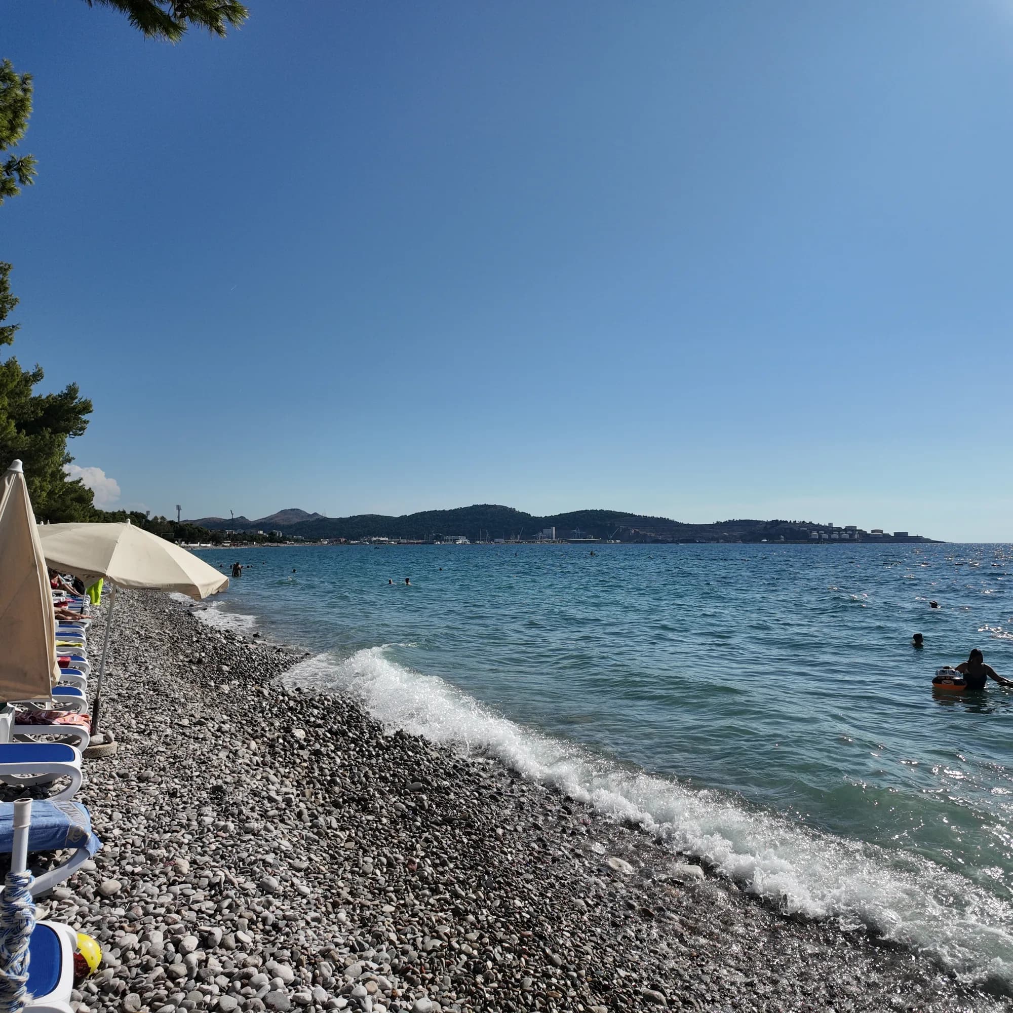
Riviera de Bar
Žukotrlica
Un kilomètre de galets sous des pins d’Alep matures, à l’extrémité nord du front de mer de Bar, le début de la promenade Royale de 3,6 km et la plage urbaine que fréquentent les habitants.
- Surface
- galets
- Entrée
- entrée modérée
- Caractère
- parties aménagées et libres
- Longueur
- 1000 m
Riviera d'Ulcinj
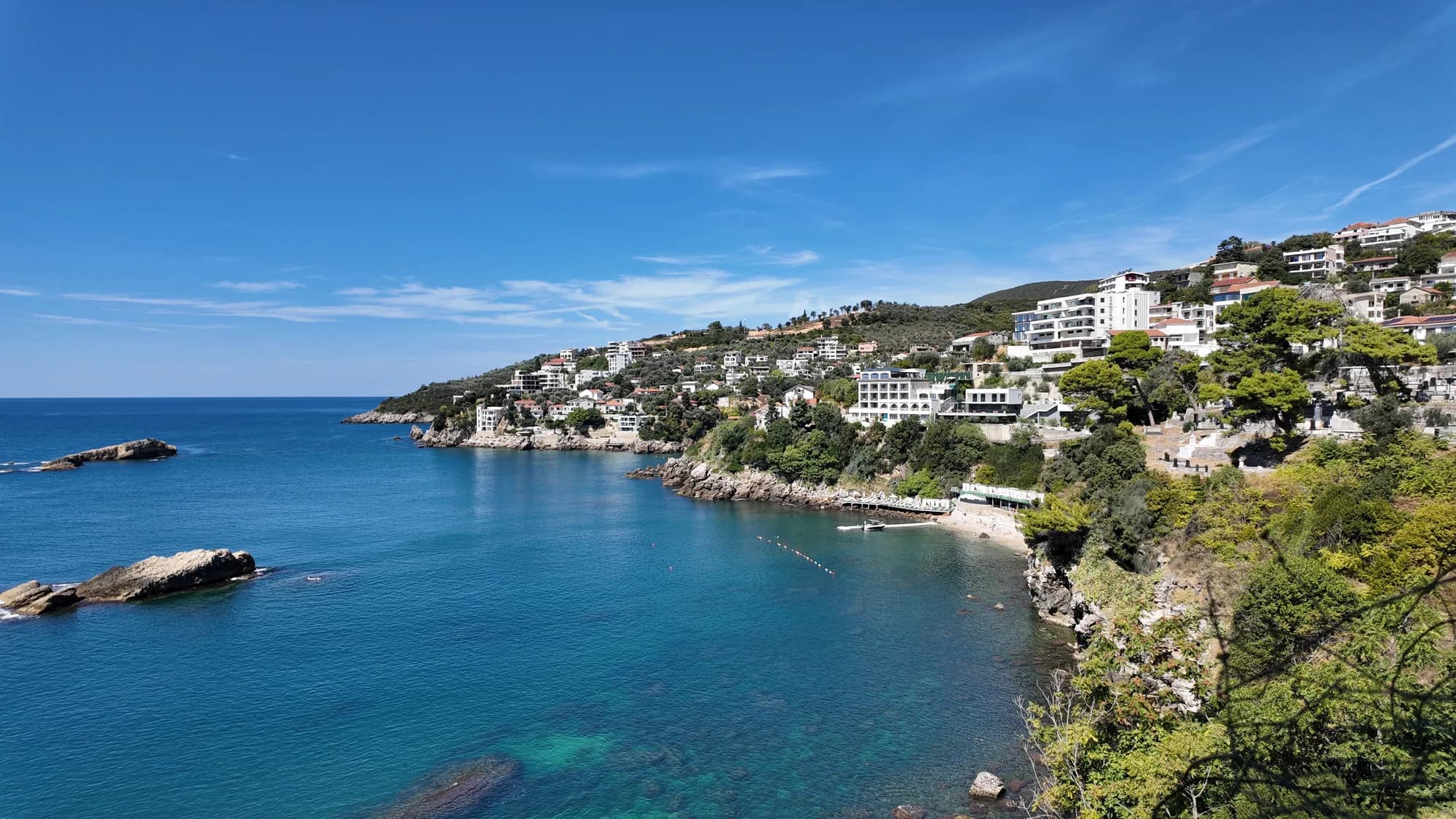
Women's BeachŽenska plaža
Une crique fermée à l’est d’Ulcinj, avec une source sulfureuse dans les hauts-fonds, exploitée comme espace de baignade réservé aux femmes de mai à octobre, et visitée pour une tradition de fertilité plus ancienne que n’importe lequel de ses exploitants.
- Surface
- galets
- Entrée
- entrée rocheuse
- Caractère
- aménagée
- Longueur
- 50–100 m