
Lipci
A strip of pebbles and flat rocks below the prehistoric deer of Lipci, reached by a narrow concrete path, with clear water deep enough to dive into and nothing else at all.
Our verdict
This is the "hidden beach" of the Lipci guide: no name, no map symbol, a few metres of pebbles and flat rock below the rock-art site, and water the guide calls crystal-clear and deep enough to dive into from the rocks. The village itself has no hotel, no konoba and no shop, so the beach is exactly as empty as that sounds. Combine it with the drawings above — the reason most people stop at Lipci — and with Morinj, 1.7 km on, for lunch.
- quiet
- swimming
- snorkelling
Lipci, in facts
The shore
Facilities
Access
Facts verified September 28, 2026 · Length: Not measured by any source and not mapped on OpenStreetMap; our Lipci guide describes "a strip of pebbles and a few flat rocks" — an order of magnitude, not a survey · 5 more still to check on the ground
Lipci in pictures
Map
Getting there
11 km
Herceg Novi
12 km
Tivat airport
12 km
Kotor
Straight-line distances — Montenegro's roads are mountain roads, so the drive is longer.
- By busStops with shelters on the M-1 shore road within 600 m (OpenStreetMap); route names not verified
- By carOn the M-1 between Risan (4.8 km) and Morinj (1.7 km); a small parking area near the rock-art path and a free lay-by on the shore road
- 10 min on footrough path — From the roadside parking near the rock-art path: a narrow concrete path and then rock down to the water
Today at Lipci
Which way the beach faces is computed from the OpenStreetMap coastline, so onshore and offshore mean this shore and not the region. Forecast by Open-Meteo
Water and awards
Nearest official station
Excellent
Latest official sample September 28, 2026: Excellent
The monitor has no sampling point at Lipci. This reading is from station Morinj 01, 1.3 km away at Morinj — the same water, but not this shore.
Sea 20.2 °C when the sample was taken
6 of 10 samples Excellent across the 2026 season
Official result from JP Morsko dobro, station Morinj 01
"Crystal-clear and deep enough for diving from the rocks" per our guide; around 25 °C by August; no Morsko Dobro station here
No award we can cite for this beach. Absence is information too.
Know before you swim
- The way down is a narrow concrete path and then bare rock — decent shoes, and not a route for small children or bad knees
- Diving from the rocks: check the depth yourself every time — nothing is marked and nobody is watching
- Boats pass through this part of the bay from time to time; the shore is sheltered but not buoyed
- No shade, no water, no facilities of any kind: carry in everything and carry it out
When the water is warm
Lipci was at its warmest, 25.8 °C, on August 31, 2026, and at its coldest, 16.8 °C, on May 25, 2026. Every point is a real sampling visit with the temperature read on the spot, not a monthly average copied from somewhere else.
Hollow points are the 4 samplings that came back below Excellent.
See all 10 samplings
| Sampled | Sea | Result |
|---|---|---|
| September 28, 2026 | 20.2 °C | Excellent |
| September 14, 2026 | 22.4 °C | Sufficient |
| August 31, 2026 | 25.8 °C | Excellent |
| August 17, 2026 | 24.8 °C | Good |
| August 3, 2026 | 23.1 °C | Excellent |
| July 23, 2026 | 22.0 °C | Sufficient |
| July 8, 2026 | 19.2 °C | Excellent |
| June 22, 2026 | 24.0 °C | Good |
| June 8, 2026 | 17.0 °C | Excellent |
| May 25, 2026 | 16.8 °C | Excellent |
Nearby beaches



Lipci and its neighbours
The same nine measures for the beaches you could reach the same day. Bold means it differs from this one.
| Measure | Lipcithis beach |  Risan3.3 km Risan3.3 km |  Stoliv5.1 km Stoliv5.1 km |  Bajova Kula6.4 km Bajova Kula6.4 km |
|---|---|---|---|---|
| Surface | pebble | pebble | concrete platforms — differs | pebble |
| Entry | rocky | moderate — differs | steep — differs | moderate — differs |
| Depth | deepens quickly | deepens quickly | deep at the edge — differs | deepens quickly |
| Shade | none | none | none | natural — differs |
| Character | wild | wild | wild | organised — differs |
| Length | 20–50 m | 200 m — differs | 100 m — differs | 118 m — differs |
| Latest water | —no official sampling point | Excellent — differs | Excellent — differs | Excellent — differs |
| Crowd | quiet | quiet | quiet | quiet |
| Getting there | by road | on foot — differs | by road | by road |
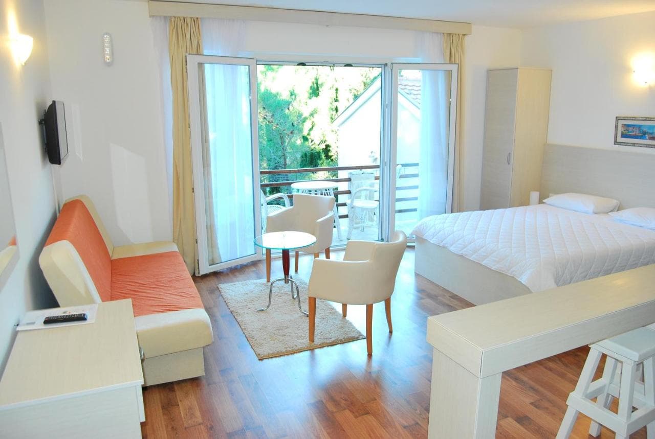
Stay near Lipci — Herceg Novi, 11 km away
All stays in Herceg Novi →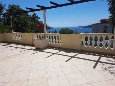


The full guide
Read the Lipci guide
Everything above is the short form. The guide has the sources, the sector codes, the sampling dates and the things that change within a season.
Questions
- Where is the hidden beach at Lipci?
- Below the rock-art site, down a narrow concrete path from the roadside parking on the M-1. OpenStreetMap does not map it; our guide describes a strip of pebbles and a few flat rocks for sunbathing.
- Is the water deep?
- The guide says deep enough for diving from the rocks, though the hub describes clear shallow water off the village shore — check the depth yourself before any jump. The water reaches about 25 °C by August.
- Where is the nearest food, shop or campsite?
- Morinj, 1.7 km west: a shop, two autocamps, a beach with a bar in season and the restaurant Ćatovića Mlini at the old mills. Risan, 4.8 km east, has supermarkets and cash machines.
Sources
- montenegro.com — Lipci guide (/cities/lipci/lipci-comprehensive-travel-guide)
- montenegro.com — Lipci hub (/cities/lipci) and its source notes (Overpass features around the village node, OSRM distances)
- OpenStreetMap — village node 717359007 (Nominatim); parking way 1527881742, node 2313528091, lay-by way 1262012912; no natural=beach mapped at Lipci