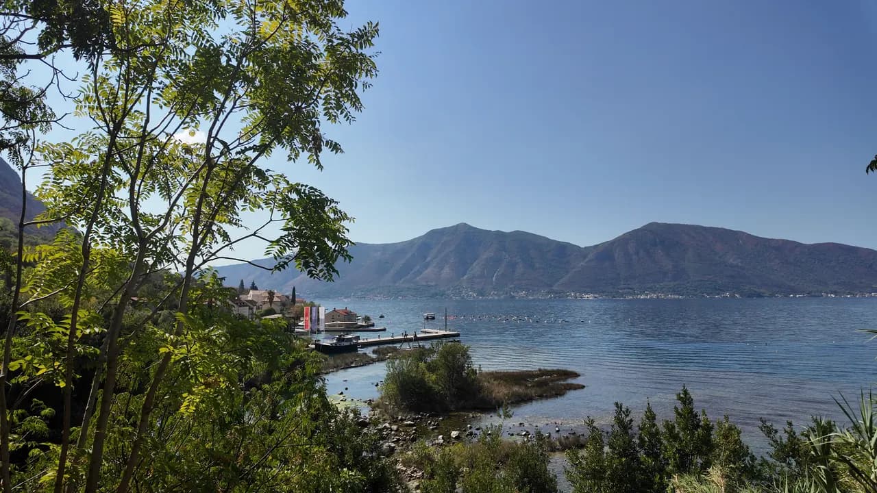
Ljuta
A concrete bathing platform on the Dobrota shore road beside the mouth of a 200-metre river that comes out of the mountain at 7 °C — the coldest swim in the bay.
Our verdict
Ljuta is a swim for people who like the shock of it: a concrete platform off the shore road, deep water straight away, and, 500 m north, the mouth of the Ljuta, one of the shortest rivers in Montenegro, which runs about 200 m from its karst spring to the sea at around 7 °C and chills the bay around it. Nothing is managed and nothing costs; the Blue Line bus stops at the door, and the old mills at the spring are the reason to stay for lunch.
- swimming
- quiet
Ljuta, in facts
The shore
Facilities
Access
Facts verified September 28, 2026 · Length: Not measured: OpenStreetMap maps the platform as a single node (10975260927, surface concrete); a concrete bathing platform of a few tens of metres — an order of magnitude, not a survey · 11 more still to check on the ground
Ljuta in pictures
Photographs and footage by Montenegro.com, free to reuse under CC BY 4.0. Ours were shot in September 2026.
Map
Getting there
6.2 km
Kotor
9.0 km
Tivat airport
19 km
Herceg Novi
Straight-line distances — Montenegro's roads are mountain roads, so the drive is longer.
- By busKotor local bus (Blue Line) — the Ljuta stop, with a shelter, on the shore road
- By car7 km from Kotor Old Town along the Dobrota shore road; there is no beach car park — park at Stari Mlini by the river, 500 m north
- 1 min on footflat — The platform is on the shore side of the M-1 at the Ljuta bus stop
Today at Ljuta
Which way the beach faces is computed from the OpenStreetMap coastline, so onshore and offshore mean this shore and not the region. Forecast by Open-Meteo
Water and awards
Nearest official station
Excellent
Latest official sample September 28, 2026: Excellent
The monitor has no sampling point at Ljuta. This reading is from station Orahovac 01, 1.2 km away at Orahovac — the same water, but not this shore.
Sea 20.4 °C when the sample was taken
10 of 10 samples Excellent across the 2026 season
Official result from JP Morsko dobro, station Orahovac 01
The coldest swim in the bay: the Ljuta river reaches the sea at about 7 °C 500 m north of the platform. No Morsko Dobro station at Ljuta
No award we can cite for this beach. Absence is information too.
Know before you swim
- The river runs into the sea at about 7 °C and the water near the mouth is noticeably colder than the rest of the bay — cold shock is real even in August; put a hand in first
- Entry is off a concrete platform into deep water: no beach, no gentle entry, no lifeguard
- The Jadranska magistrala (M-1) passes directly behind the platform, and the bus stop is on it
- Mussel-farm float lines lie offshore along this coast — stay clear of them
When the water is warm
Ljuta was at its warmest, 27.8 °C, on August 31, 2026, and at its coldest, 20.4 °C, on September 28, 2026. Every point is a real sampling visit with the temperature read on the spot, not a monthly average copied from somewhere else.
See all 10 samplings
| Sampled | Sea | Result |
|---|---|---|
| September 28, 2026 | 20.4 °C | Excellent |
| September 14, 2026 | 25.2 °C | Excellent |
| August 31, 2026 | 27.8 °C | Excellent |
| August 17, 2026 | 25.9 °C | Excellent |
| August 3, 2026 | 24.8 °C | Excellent |
| July 20, 2026 | 27.5 °C | Excellent |
| July 6, 2026 | 21.2 °C | Excellent |
| June 22, 2026 | 24.6 °C | Excellent |
| June 8, 2026 | 24.1 °C | Excellent |
| May 25, 2026 | 21.0 °C | Excellent |
Licensed as
The state leases this coast lot by lot. Ljuta is tendered as 3 lots covering about 162 m of shore, each with an official category.
| Category | Lots | Shore |
|---|---|---|
| Family bathing | 3 | 162 m |
About 900 m² in total. This is what has been licensed, not what we saw: the number of sunbeds, toilets and showers on a lot is fixed in the signed lease, which is not published. JP Morsko dobro tenders
Nearby beaches



Ljuta and its neighbours
The same nine measures for the beaches you could reach the same day. Bold means it differs from this one.
| Measure |  Ljutathis beach Ljutathis beach |  Orahovac1.2 km Orahovac1.2 km |  Stoliv4.5 km Stoliv4.5 km |  Lipci8.9 km Lipci8.9 km |
|---|---|---|---|---|
| Surface | concrete platforms | pebble — differs | concrete platforms | pebble — differs |
| Entry | steep | moderate — differs | steep | rocky — differs |
| Depth | deep at the edge | deepens quickly — differs | deep at the edge | deepens quickly — differs |
| Shade | none | natural — differs | none | none |
| Character | wild | wild | wild | wild |
| Length | 10–30 m | 150 m — differs | 100 m — differs | 20–50 m — differs |
| Latest water | —no official sampling point | Excellent — differs | Excellent — differs | —no official sampling point |
| Crowd | quiet | quiet | quiet | quiet |
| Getting there | by road | by road | by road | by road |
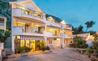
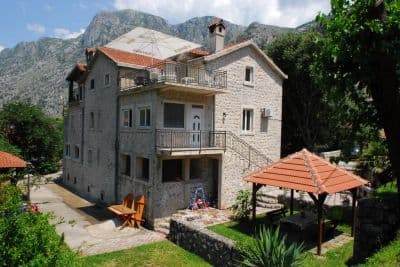
Stay near Ljuta — Kotor, 6.2 km away
All stays in Kotor →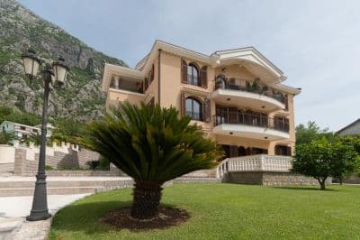

Questions
- Where do people swim at Ljuta?
- Off the concrete bathing platform on the shore side of the M-1 at the Ljuta bus stop, mapped by OpenStreetMap as "Ljuta Beach", and from the small gravel coves south of the village.
- How cold is the water?
- The Ljuta river reaches the sea at about 7 °C and the bay around the mouth is noticeably colder than elsewhere; the open bay reaches about 25 °C in August. The hub’s advice is simple: put a hand in the water first.
- Is there anywhere to park?
- Not at the platform. Park at Stari Mlini, the restaurant at the old mills on the river 500 m north, or come on the Blue Line bus from Kotor, 7 km away.
Sources
- montenegro.com — Ljuta hub (/cities/ljuta) and its source notes (OSM Ljuta Beach node, the Blue line stop, Stari Mlini, the river way and the mills’ listing)
- OpenStreetMap — node 10975260927 "Ljuta Beach" (surface=concrete), bus stop node 11171754614 "Ljuta" (Blue line, shelter), M-1 way 1097670961, river way 240236187
- montenegro.com — Orahovac hub (the Ljuta as the spring at the southern edge of Orahovac; Ljuta 1.2 km from Orahovac)