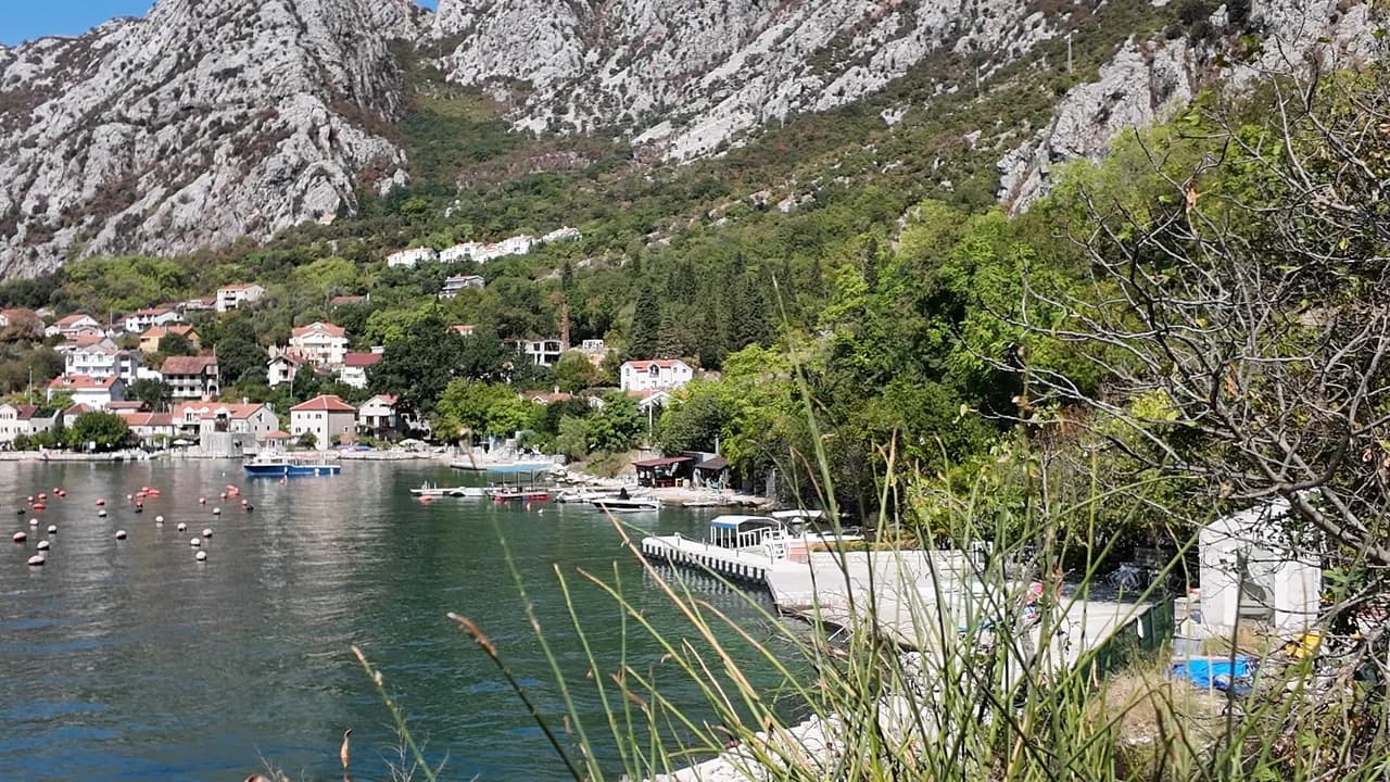
Orahovac
Four pebble coves between stone jetties, the coldest and freshest sea in the bay — 24 parts per thousand of salt in late May 2026 — and Excellent at every official sampling.
Our verdict
Orahovac has no beach in the resort sense: the municipal plan says so plainly, and what it has instead is a string of small pebble coves between the old stone jetties, concrete quays to swim from, and water that the springs keep colder and fresher than anywhere else in the bay. The Morsko Dobro station here returned Excellent at all eight samplings in 2026. Nothing is managed and nothing costs; a couple of bars open in season, the oyster farm sells from the shore road, and the Kotor bus stops at the door.
- swimming
- quiet
- photography
Orahovac, in facts
The shore
Facilities
Access
Facts verified September 28, 2026 · Length: Our 25 Best Beaches list; OpenStreetMap maps four separate coves of roughly 10, 45, 50 and 90 m between the stone jetties rather than one beach · 11 more still to check on the ground
Orahovac in pictures
Photographs and footage by Montenegro.com, free to reuse under CC BY 4.0. Ours were shot in September 2026.
Orahovac in motion
The mountain wall and the bay at Orahovac on a September morning
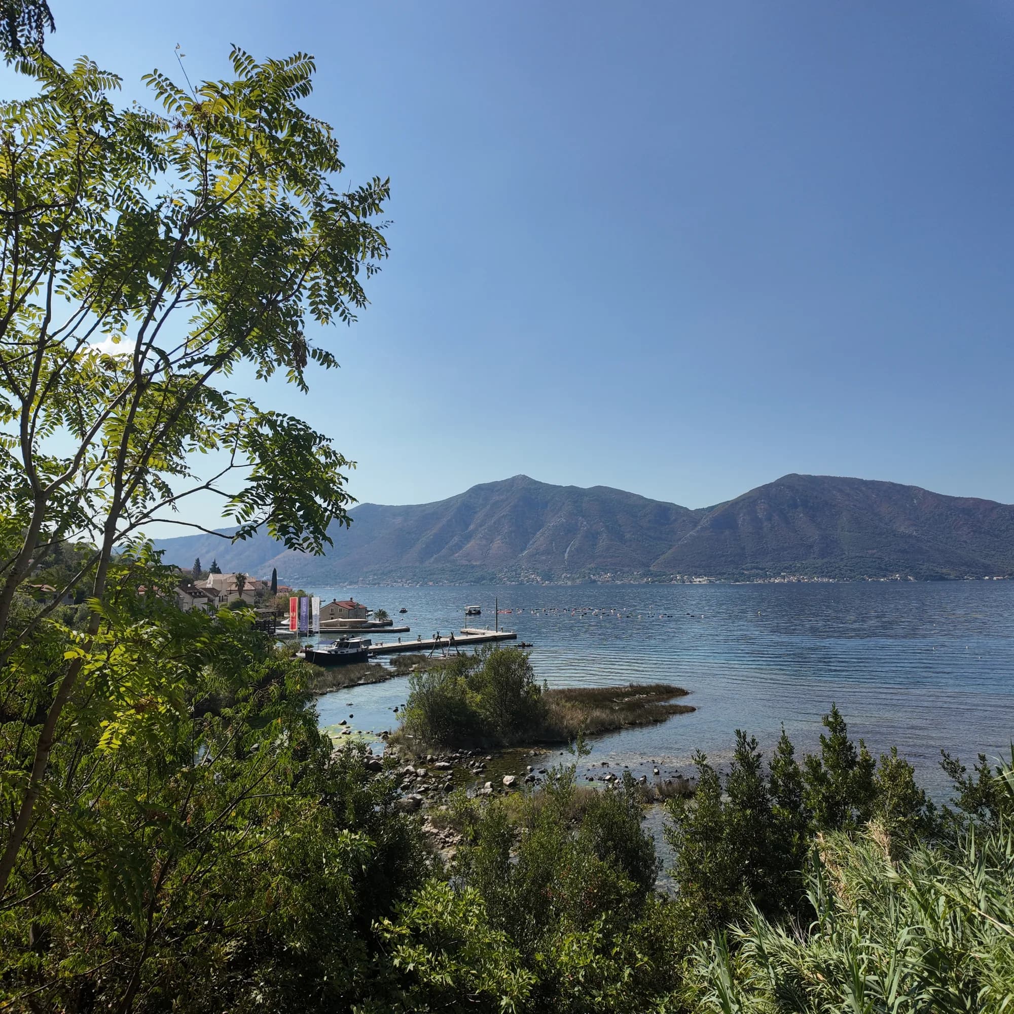
The stone house on its jetty and the concrete bathing quay
Boats at the Orahovac quay, the mussel lines beyond
Photographs and footage by Montenegro.com, free to reuse under CC BY 4.0. Ours were shot in September 2026.
Map
The shaded water is the official bathing zone for station Orahovac 01 — the stretch JP Morsko dobro actually samples, not an outline of the beach.
Getting there
7.3 km
Kotor
9.9 km
Tivat airport
19 km
Herceg Novi
Straight-line distances — Montenegro's roads are mountain roads, so the drive is longer.
- By busKotor local bus (Blue Line) — two Donji Orahovac stops with shelters on the shore road
- By car8.6 km from Kotor (about 15 minutes) on the shore road through Dobrota and Ljuta; parking is private or customers-only at the bars — arrive early in July and August, or take the bus
- 2 min on footwith steps — Down from the Donji Orahovac bus stop on the shore road to the coves between the jetties
Today at Orahovac
Which way the beach faces is computed from the OpenStreetMap coastline, so onshore and offshore mean this shore and not the region. Forecast by Open-Meteo
Water and awards
Excellent
Latest official sample September 28, 2026: Excellent
Sea 20.4 °C when the sample was taken
10 of 10 samples Excellent across the 2026 season
Official result from JP Morsko dobro, station Orahovac 01
Station Orahovac 01: eight of eight 2026 samplings Excellent; spring-fed and cold — 24.3 PSU on 25 May 2026 against 38 in the outer bay
- 8 of 8 samplings Excellent, 2026 season — station Orahovac 01
Know before you swim
- Mussel-farm float lines run across the bay off the village: do not swim through them or take shellfish from them
- The water is spring-cold — 24 parts per thousand of salt in late May and noticeably colder near the outlets even in summer; enter slowly
- The coves lie between stone jetties and a mandrać: boats manoeuvre close to swimmers and the stone edges are slick
- The M-1 shore road runs between the houses and the coves with no continuous pavement
When the water is warm
Orahovac was at its warmest, 27.8 °C, on August 31, 2026, and at its coldest, 20.4 °C, on September 28, 2026. Every point is a real sampling visit with the temperature read on the spot, not a monthly average copied from somewhere else.
See all 10 samplings
| Sampled | Sea | Result |
|---|---|---|
| September 28, 2026 | 20.4 °C | Excellent |
| September 14, 2026 | 25.2 °C | Excellent |
| August 31, 2026 | 27.8 °C | Excellent |
| August 17, 2026 | 25.9 °C | Excellent |
| August 3, 2026 | 24.8 °C | Excellent |
| July 20, 2026 | 27.5 °C | Excellent |
| July 6, 2026 | 21.2 °C | Excellent |
| June 22, 2026 | 24.6 °C | Excellent |
| June 8, 2026 | 24.1 °C | Excellent |
| May 25, 2026 | 21.0 °C | Excellent |
Season by season
Orahovac has been sampled 69 times since 2020: 61 of those readings Excellent, 8 below it.
How warm the water got, season by season. The average is of the July and August samplings only — a fixed window, so a year the inspectors happened to come early does not read as a cold one.
A handful of seasons is a record, not a trend: the spread here is what a few dated readings look like, not evidence of a sea warming or cooling. A hollow point marks a season that recorded a sampling below Excellent.
| Season | Samplings | Excellent | Below | Jul–Aug mean | Warmest |
|---|---|---|---|---|---|
| 2020 | 9 | 5 | 4 | 25.5 °C | 28.4 °C |
| 2021 | 10 | 10 | — | 25.6 °C | 27 °C |
| 2022 | 10 | 9 | 1 | 24.7 °C | 27 °C |
| 2023 | 10 | 7 | 3 | 25.7 °C | 26.6 °C |
| 2024 | 10 | 10 | — | 26.2 °C | 28.6 °C |
| 2025 | 10 | 10 | — | 24.6 °C | 25.9 °C |
| 2026in progress | 10 | 10 | — | 25.4 °C | 27.8 °C |
Licensed as
The state leases this coast lot by lot. Orahovac is tendered as 4 lots covering about 252 m of shore, each with an official category.
Also licensed here: a mooring platform in the water off the beach.
| Category | Lots | Shore |
|---|---|---|
| Family bathing | 3 | 173 m |
| Hotel beach | 1 | 79 m |
About 1,505 m² in total. This is what has been licensed, not what we saw: the number of sunbeds, toilets and showers on a lot is fixed in the signed lease, which is not published. JP Morsko dobro tenders
Nearby beaches
Orahovac and its neighbours
The same nine measures for the beaches you could reach the same day. Bold means it differs from this one.
| Measure | 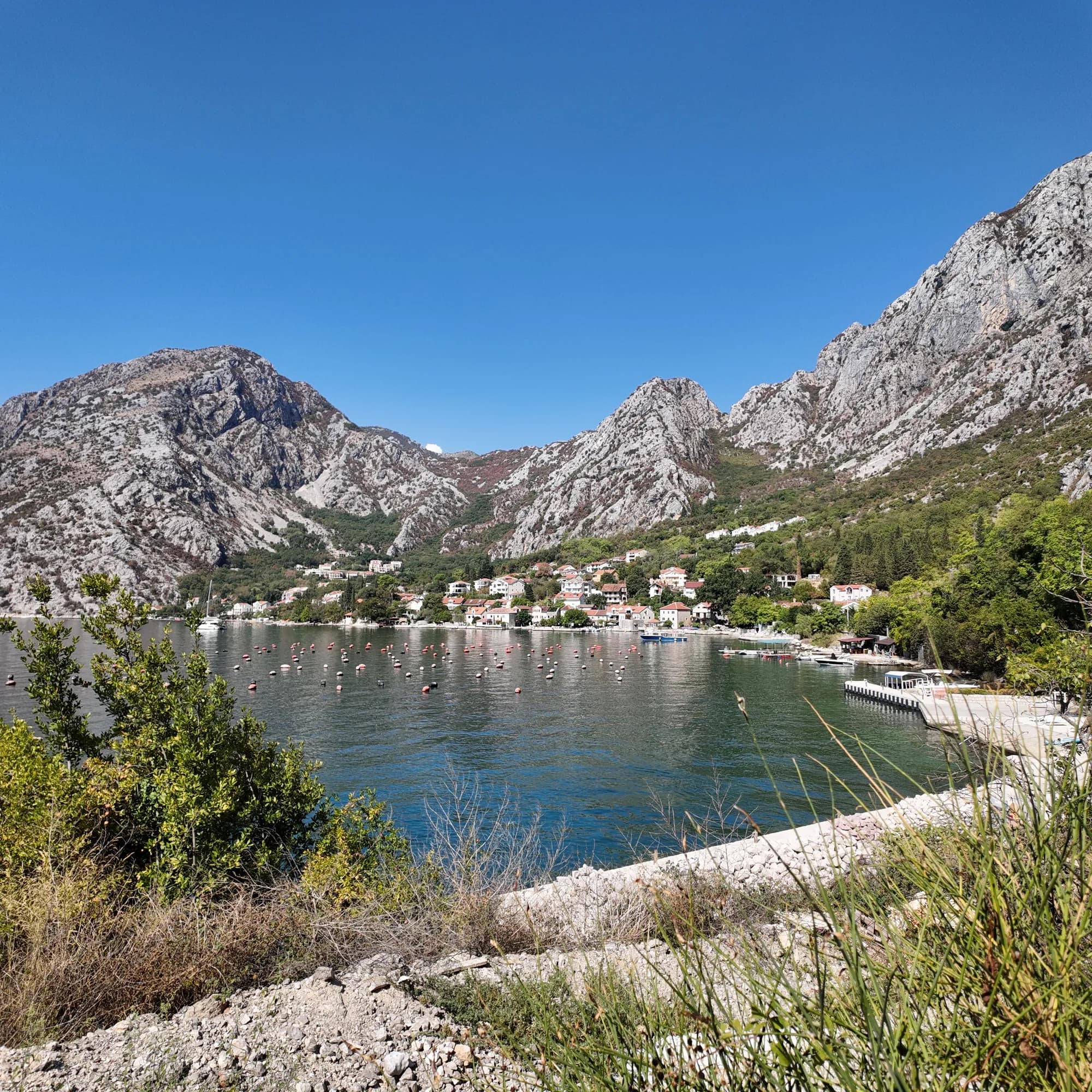 Orahovacthis beach | 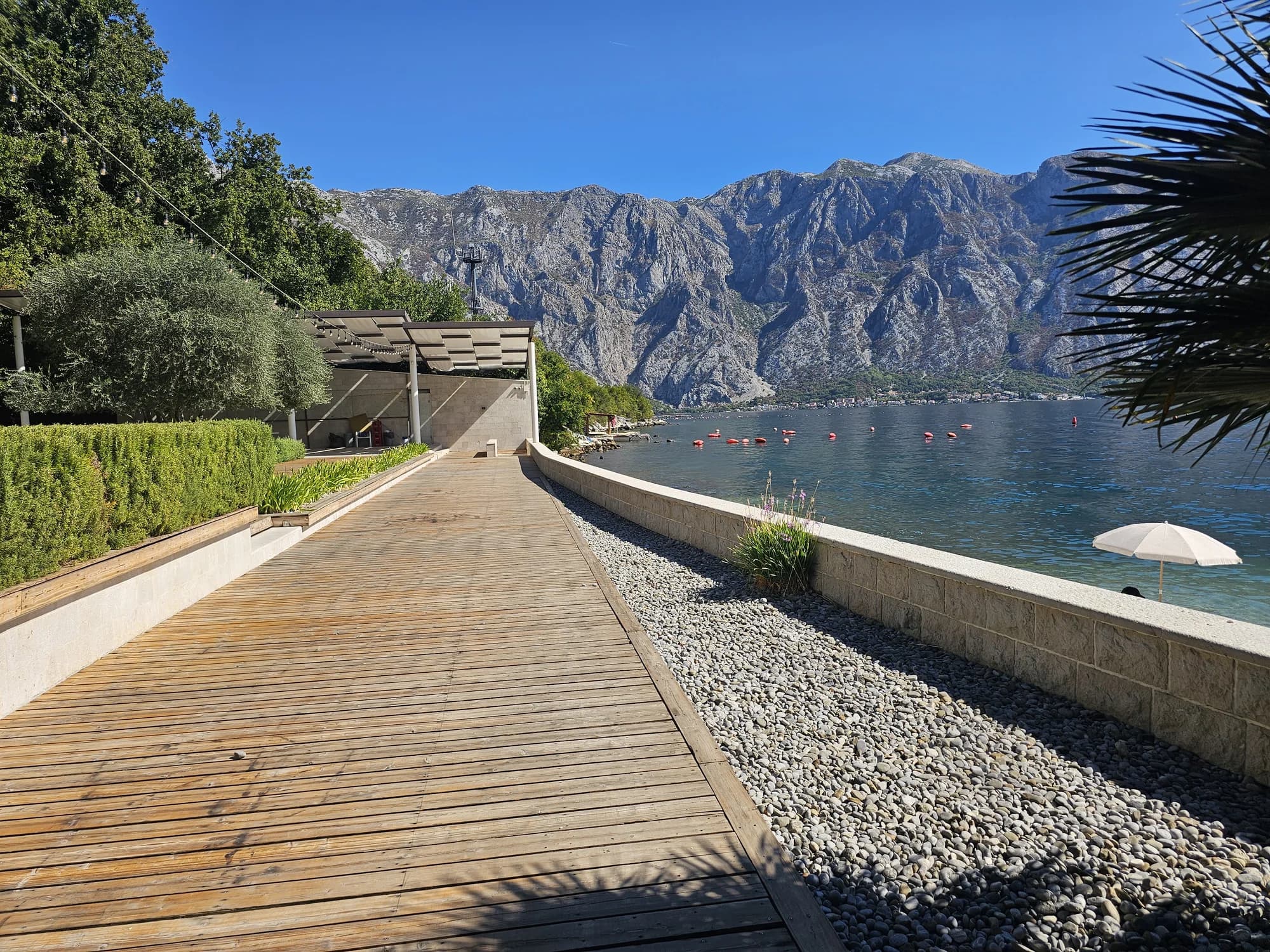 Bajova Kula2.0 km |  Risan6.1 km |  Lipci8.2 km |
|---|---|---|---|---|
| Surface | pebble | pebble | pebble | pebble |
| Entry | moderate | moderate | moderate | rocky — differs |
| Depth | deepens quickly | deepens quickly | deepens quickly | deepens quickly |
| Shade | natural | natural | none — differs | none — differs |
| Character | wild | organised — differs | wild | wild |
| Length | 150 m | 118 m | 200 m | 20–50 m — differs |
| Latest water | Excellent | Excellent | Excellent | —no official sampling point — differs |
| Crowd | quiet | quiet | quiet | quiet |
| Getting there | by road | by road | on foot — differs | by road |
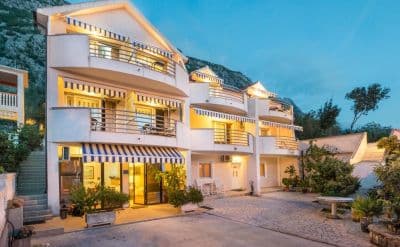
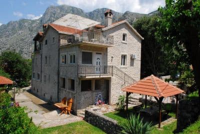
Stay near Orahovac — Kotor, 7.3 km away
All stays in Kotor →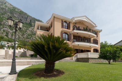

The full guide
Read the Orahovac guide
Everything above is the short form. The guide has the sources, the sector codes, the sampling dates and the things that change within a season.
Questions
- How cold is the water at Orahovac?
- Fresh springs — the Ljuta at the southern edge of the village and the Ercegovina above it — run straight into the bay. The monitoring station measured 24.3 PSU of salt on 25 May 2026 against 38.2 at Rose in the outer bay, rising to 37.3 by July; the sea here warms later and stays cooler near the outlets. Put a hand in first.
- Is there a long beach at Orahovac?
- No. The Kotor municipal plan records that there are no extensive beaches along this shore, only small pebble coves between the jetties and the mandrać. OpenStreetMap maps four of them, from about 10 m to about 90 m long.
- Can I get there by bus?
- Yes. Orahovac is on the Kotor local bus route towards Perast and Risan; the two Donji Orahovac stops on the shore road have shelters. Kotor is 8.6 km and about 15 minutes away.
- Can I swim out to the mussel farm?
- Do not swim through the float lines or take shellfish from them: the farm is a working one, and the oysters are sold from the farm restaurant on the shore road in season.
Sources
- montenegro.com — Orahovac hub (/cities/orahovac) and its source notes: Kotor municipal plan (Sl. list CG 11-9110, 2012), JP Morsko dobro monitoring station Orahovac 01 (id 74), OSM bus stops and parking
- montenegro.com — Orahovac guide (/cities/orahovac/orahovac-guide)
- Our "25 Best Beaches in Montenegro" list, entry 23
- OpenStreetMap — beach ways 370041867, 1417041470, 370041864, 1417041471; place node 777120389
- JP Morsko dobro bathing-water monitor (monitoring.morskodobro.me)