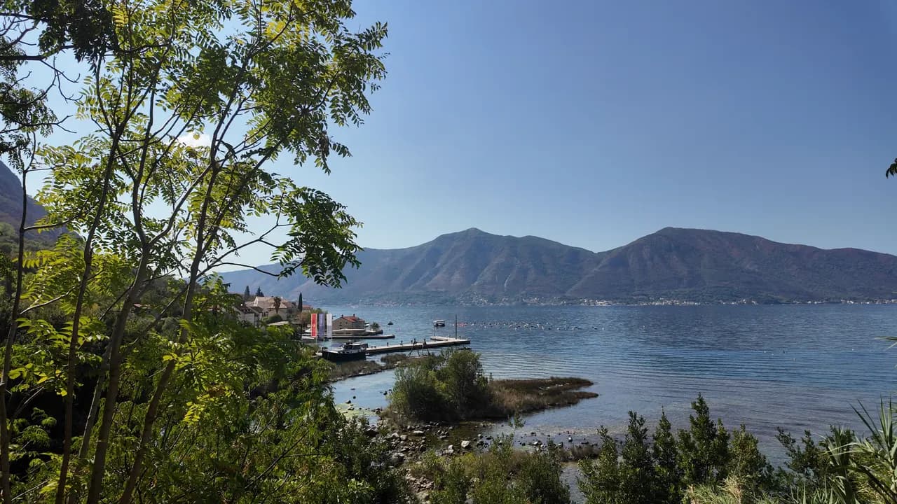
Ljuta
En betongbadplattform vid kustvägen i Dobrota intill mynningen av en 200 meter lång flod som kommer ut ur berget vid 7 °C — det kallaste badet i bukten.
Vårt omdöme
Ljuta är ett bad för dem som gillar chocken av det: en betongplattform vid kustvägen, djupt vatten direkt, och, 500 m norrut, mynningen av floden Ljuta, en av Montenegros kortaste floder, som rinner omkring 200 m från sin karstkälla till havet vid omkring 7 °C och kyler ner bukten runt omkring. Ingenting är skött och ingenting kostar; Blue Line-bussen stannar vid dörren, och de gamla kvarnarna vid källan är anledningen att stanna för lunch.
- simning
- lugn
Ljuta i fakta
Stranden
Faciliteter
Tillgänglighet
Fakta verifierade 28 september 2026 · Längd: Not measured: OpenStreetMap maps the platform as a single node (10975260927, surface concrete); a concrete bathing platform of a few tens of metres — an order of magnitude, not a survey · 11 uppgifter återstår att kontrollera på plats
Ljuta i bilder
Foto och film av Montenegro.com, fria att återanvända under CC BY 4.0. Våra är tagna i september 2026.
Karta
Hitta hit
6.2 km
Kotor
9.0 km
Tivat airport
19 km
Herceg Novi
Avstånd fågelvägen — Montenegros vägar är bergsvägar, så bilresan är längre.
- Med bussKotor local bus (Blue Line) — the Ljuta stop, with a shelter, on the shore road
- Med bil7 km from Kotor Old Town along the Dobrota shore road; there is no beach car park — park at Stari Mlini by the river, 500 m north
- 1 min till fotsplant — The platform is on the shore side of the M-1 at the Ljuta bus stop
I dag på Ljuta
Riktningen är beräknad från OpenStreetMaps kustlinje, så pålands- och frånlandsvind gäller just den här stranden och inte regionen. Prognos från Open-Meteo
Vatten och utmärkelser
Närmaste officiella mätstation
Utmärkt
Senaste officiella prov 28 september 2026: Utmärkt
Övervakningen har ingen provpunkt vid Ljuta. Detta resultat kommer från mätstationen Orahovac 01, 1.2 km bort vid Orahovac — samma vatten, men inte denna strand.
Havet 20.4 °C när provet togs
10 av 10 prover utmärkta under säsongen 2026
Officiellt resultat från JP Morsko dobro, mätstation Orahovac 01
Det kallaste badet i bukten: floden Ljuta når havet vid omkring 7 °C 500 m norr om plattformen. Ingen Morsko Dobro-station vid Ljuta
Ingen utmärkelse vi kan belägga för den här stranden. Även frånvaron är information.
Bra att veta innan du badar
- Floden rinner ut i havet vid omkring 7 °C och vattnet nära mynningen är märkbart kallare än resten av bukten — köldchock är verklig även i augusti; doppa handen först
- Insteget är från en betongplattform ner i djupt vatten: ingen strand, inget behagligt insteg, ingen livräddare
- Jadranska magistrala (M-1) går direkt bakom plattformen, och busshållplatsen ligger på den
- Flottörlinor från musselodlingar ligger utanför kusten längs den här sträckan — håll dig undan dem
När vattnet är varmt
Ljuta var varmast, 27.8 °C, den 31 augusti 2026, och kallast, 20.4 °C, den 28 september 2026. Varje punkt är ett verkligt provtagningsbesök med temperaturen mätt på plats, inte ett månadsmedelvärde hämtat någon annanstans ifrån.
Visa alla 10 provtagningar
| Provtaget | Hav | Resultat |
|---|---|---|
| 28 september 2026 | 20.4 °C | Utmärkt |
| 14 september 2026 | 25.2 °C | Utmärkt |
| 31 augusti 2026 | 27.8 °C | Utmärkt |
| 17 augusti 2026 | 25.9 °C | Utmärkt |
| 3 augusti 2026 | 24.8 °C | Utmärkt |
| 20 juli 2026 | 27.5 °C | Utmärkt |
| 6 juli 2026 | 21.2 °C | Utmärkt |
| 22 juni 2026 | 24.6 °C | Utmärkt |
| 8 juni 2026 | 24.1 °C | Utmärkt |
| 25 maj 2026 | 21.0 °C | Utmärkt |
Officiellt resultat från JP Morsko dobro, mätstation Orahovac 01
Upplåten som
Staten arrenderar ut kusten lott för lott. Ljuta är utlyst som 3 lotter på omkring 162 m strandlinje, var och en med en officiell kategori.
| Kategori | Lotter | Strandlinje |
|---|---|---|
| Familjebad | 3 | 162 m |
Sammanlagt omkring 900 m². Det här är vad som upplåtits, inte vad vi sett: antalet solsängar, toaletter och duschar per lott fastställs i det tecknade avtalet, som inte offentliggörs. Upphandlingar från JP Morsko dobro
Stränder i närheten



Ljuta och grannstränderna
Samma nio mått för stränderna du hinner samma dag. Fet stil betyder att det skiljer sig från den här.
| Mått |  Ljutaden här stranden Ljutaden här stranden |  Orahovac1.2 km Orahovac1.2 km |  Stoliv4.5 km Stoliv4.5 km |  Lipci8.9 km Lipci8.9 km |
|---|---|---|---|---|
| Underlag | betongplattformar | klappersten — skiljer sig | betongplattformar | klappersten — skiljer sig |
| Nedgång i vattnet | brant | måttlig — skiljer sig | brant | stenig — skiljer sig |
| Djup | djupt från kanten | blir snabbt djupt — skiljer sig | djupt från kanten | blir snabbt djupt — skiljer sig |
| Skugga | ingen | naturlig — skiljer sig | ingen | ingen |
| Karaktär | vild | vild | vild | vild |
| Längd | 10–30 m | 150 m — skiljer sig | 100 m — skiljer sig | 20–50 m — skiljer sig |
| Senaste provet | —ingen officiell mätpunkt | Utmärkt — skiljer sig | Utmärkt — skiljer sig | —ingen officiell mätpunkt |
| Trängsel | lugn | lugn | lugn | lugn |
| Ta dig dit | med bil | med bil | med bil | med bil |
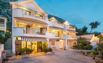
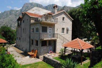
Bo nära Ljuta — Kotor, 6.2 km bort
Alla boenden i Kotor →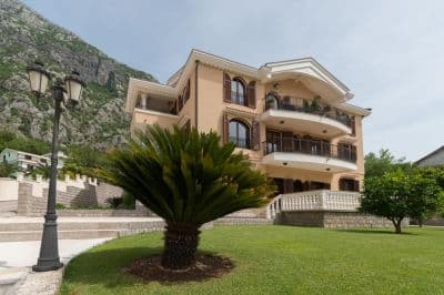

Frågor
- Var badar man vid Ljuta?
- Från betongbadplattformen på strandsidan av M-1 vid busshållplatsen Ljuta, kartlagd av OpenStreetMap som "Ljuta Beach", och från de små grusvikarna söder om byn.
- Hur kallt är vattnet?
- Floden Ljuta når havet vid omkring 7 °C och bukten runt mynningen är märkbart kallare än på andra ställen; den öppna bukten når omkring 25 °C i augusti. Översiktssidans råd är enkelt: doppa handen i vattnet först.
- Finns det någonstans att parkera?
- Inte vid plattformen. Parkera vid Stari Mlini, restaurangen vid de gamla kvarnarna vid floden 500 m norrut, eller kom med Blue Line-bussen från Kotor, 7 km bort.
Källor
- montenegro.com — Ljuta hub (/cities/ljuta) and its source notes (OSM Ljuta Beach node, the Blue line stop, Stari Mlini, the river way and the mills’ listing)
- OpenStreetMap — node 10975260927 "Ljuta Beach" (surface=concrete), bus stop node 11171754614 "Ljuta" (Blue line, shelter), M-1 way 1097670961, river way 240236187
- montenegro.com — Orahovac hub (the Ljuta as the spring at the southern edge of Orahovac; Ljuta 1.2 km from Orahovac)