
Lipci
Traka šljunka i ravnih stijena ispod praistorijskih jelena iz Lipaca, do koje se stiže uskom betonskom stazom, sa bistrom vodom dovoljno dubokom za skokove i ničim drugim.
Naša ocjena
Ovo je „skrivena plaža“ iz vodiča za Lipce: bez imena, bez oznake na mapi, tek nekoliko metara šljunka i ravnog kamena ispod nalazišta stijenske umjetnosti, i vodom koju vodič opisuje kao kristalno čistu i dovoljno duboku za skokove sa stijena. Samo selo nema hotel, ni konobu, ni prodavnicu, pa je plaža tačno onoliko pusta koliko to zvuči. Kombinujte je sa crtežima iznad — razlog zbog kojeg većina ljudi i staje u Lipcima — i sa Morinjem, 1,7 km dalje, za ručak.
- mir
- plivanje
- snorkeling
Lipci u činjenicama
Obala
Sadržaji
Pristup
Činjenice provjerene 28. septembar 2026. · Dužina: Not measured by any source and not mapped on OpenStreetMap; our Lipci guide describes "a strip of pebbles and a few flat rocks" — an order of magnitude, not a survey · Još 5 podataka treba provjeriti na licu mjesta
Lipci u slikama
Mapa
Kako doći
11 km
Herceg Novi
12 km
Tivat airport
12 km
Kotor
Rastojanja vazdušnom linijom — crnogorski putevi su planinski, pa je vožnja duža.
- AutobusomStops with shelters on the M-1 shore road within 600 m (OpenStreetMap); route names not verified
- AutomOn the M-1 between Risan (4.8 km) and Morinj (1.7 km); a small parking area near the rock-art path and a free lay-by on the shore road
- 10 min pješkeneravna staza — From the roadside parking near the rock-art path: a narrow concrete path and then rock down to the water
Danas na plaži Lipci
Orijentacija je izračunata iz OpenStreetMap linije obale, pa se „prema obali“ i „s kopna“ odnose na ovu obalu, a ne na region. Prognoza: Open-Meteo
Voda i priznanja
Najbliža zvanična mjerna stanica
Odlična
Posljednji zvanični uzorak 28. septembar 2026.: Odlična
Monitoring nema mjerno mjesto na plaži Lipci. Ovaj rezultat je sa stanice Morinj 01, 1.3 km dalje, na lokaciji Morinj — isto more, ali ne i ova obala.
More 20.2 °C u trenutku uzorkovanja
6 od 10 uzoraka ocijenjeno odlično u sezoni 2026
Zvanični rezultat JP Morsko dobro, mjerna stanica Morinj 01
„Kristalno bistra i dovoljno duboka za skokove sa stijena“ prema našem vodiču; oko 25 °C do avgusta; ovdje nema stanice Morskog Dobra
Nema priznanja koje možemo navesti za ovu plažu. I to je informacija.
Znajte prije kupanja
- Silazak je uska betonska staza, a zatim goli kamen — potrebna je solidna obuća, ovo nije ruta za malu djecu ili loša koljena
- Skokovi sa stijena: svaki put sami provjerite dubinu — ništa nije obilježeno i niko ne motri
- Čamci povremeno prolaze ovim dijelom zaliva; obala je zaklonjena, ali nije omeđena bovama
- Nema hlada, nema vode, nema nikakvih sadržaja: sve što donesete, i iznesite
Kad je more toplo
Najtoplije je bilo 25.8 °C, 31. avgust 2026., a najhladnije 16.8 °C, 25. maj 2026.. Svaka tačka je stvarni izlazak na teren, sa temperaturom izmjerenom na licu mjesta, a ne mjesečni prosjek prepisan sa strane.
Šuplje tačke su 4 uzorkovanja koja nijesu ocijenjena kao odlična.
Prikaži svih 10 uzorkovanja
| Uzorkovano | More | Ocjena |
|---|---|---|
| 28. septembar 2026. | 20.2 °C | Odlična |
| 14. septembar 2026. | 22.4 °C | Zadovoljavajuća |
| 31. avgust 2026. | 25.8 °C | Odlična |
| 17. avgust 2026. | 24.8 °C | Dobra |
| 3. avgust 2026. | 23.1 °C | Odlična |
| 23. jul 2026. | 22.0 °C | Zadovoljavajuća |
| 8. jul 2026. | 19.2 °C | Odlična |
| 22. jun 2026. | 24.0 °C | Dobra |
| 8. jun 2026. | 17.0 °C | Odlična |
| 25. maj 2026. | 16.8 °C | Odlična |
Plaže u blizini



Lipci i susjedne plaže
Istih devet podataka za plaže do kojih možete stići istog dana. Podebljano znači da se razlikuje od ove.
| Podatak | Lipciova plaža |  Risan3.3 km Risan3.3 km |  Stoliv5.1 km Stoliv5.1 km |  Bajova Kula6.4 km Bajova Kula6.4 km |
|---|---|---|---|---|
| Podloga | šljunak | šljunak | betonski platoi — razlikuje se | šljunak |
| Ulazak u more | kamenit | umjeren — razlikuje se | strm — razlikuje se | umjeren — razlikuje se |
| Dubina | brzo postaje duboko | brzo postaje duboko | duboko odmah uz obalu — razlikuje se | brzo postaje duboko |
| Hlad | nema | nema | nema | prirodni — razlikuje se |
| Karakter | divlja | divlja | divlja | uređena — razlikuje se |
| Dužina | 20–50 m | 200 m — razlikuje se | 100 m — razlikuje se | 118 m — razlikuje se |
| Posljednji uzorak | —nema zvaničnog mjernog mjesta | Odlična — razlikuje se | Odlična — razlikuje se | Odlična — razlikuje se |
| Gužva | mir | mir | mir | mir |
| Kako doći | automobilom | pješke — razlikuje se | automobilom | automobilom |
Smještaj blizu plaže Lipci — Herceg Novi, 11 km dalje
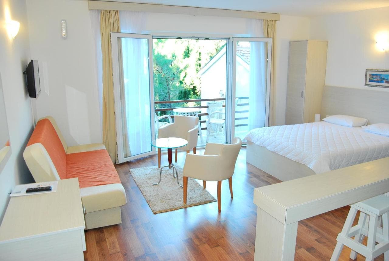
Sav smještaj u mjestu Herceg Novi →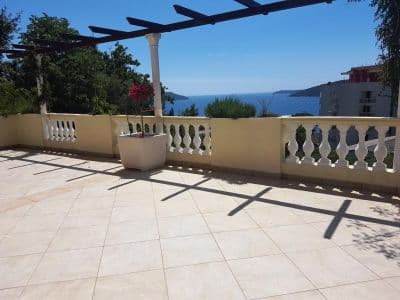


Puni vodič
Pročitajte vodič za plažu Lipci
Sve gore navedeno je kratka verzija. Vodič sadrži izvore, šifre sektora, datume uzorkovanja i ono što se mijenja tokom sezone.
Pitanja
- Gdje je skrivena plaža u Lipcima?
- Ispod nalazišta stijenske umjetnosti, niz usku betonsku stazu od parkinga uz put na magistrali M-1. OpenStreetMap je ne mapira; naš vodič opisuje traku šljunka i nekoliko ravnih stijena za sunčanje.
- Da li je voda duboka?
- Vodič kaže da je dovoljno duboka za skokove sa stijena, dok centralna stranica opisuje bistru plitku vodu uz obalu sela — dubinu provjerite sami prije bilo kakvog skoka. Voda do avgusta dostigne oko 25 °C.
- Gdje je najbliža hrana, prodavnica ili kamp?
- Morinj, 1,7 km zapadno: prodavnica, dva autokampa, plaža sa barom u sezoni i restoran Ćatovića Mlini kod starih vodenica. Risan, 4,8 km istočno, ima supermarkete i bankomate.
Izvori
- montenegro.com — Lipci guide (/cities/lipci/lipci-comprehensive-travel-guide)
- montenegro.com — Lipci hub (/cities/lipci) and its source notes (Overpass features around the village node, OSRM distances)
- OpenStreetMap — village node 717359007 (Nominatim); parking way 1527881742, node 2313528091, lay-by way 1262012912; no natural=beach mapped at Lipci