L'atlante delle spiagge
Ciottoli e roccia
16 delle 39 spiagge dell'atlante.

Riviera di Herceg Novi
Žanjiceuvala Žanjic
Una baia di ciottoli bianchi di 300 metri vicino alla punta di Luštica, a venti minuti in barca da Herceg Novi e punto di partenza per la Grotta Azzurra.
- Fondo
- ciottoli
- Ingresso
- ingresso moderato
- Carattere
- attrezzata
- Lunghezza
- 300 m

Riviera di Herceg Novi
Mirišta
La cala di ciottoli di 200 metri a dieci minuti lungo il sentiero costiero da Žanjice, sotto il forte di Arza, con alberi sul retro della spiaggia e una frazione delle barche.
- Fondo
- ciottoli
- Ingresso
- ingresso moderato
- Carattere
- tratti attrezzati e liberi
- Lunghezza
- 200 m

Riviera di Herceg Novi
Dobreč
Una cala di ciottoli di 100 metri sulla costa esterna di Luštica senza alcuna strada di accesso: la barca da Herceg Novi è l'unico modo per arrivarci e per andarsene.
- Fondo
- ciottoli
- Ingresso
- ingresso moderato
- Carattere
- selvaggia
- Lunghezza
- 100 m

Riviera di Herceg Novi
NjiviceKraljičina plaža
L'ultima spiaggia del Montenegro andando verso ovest: roccia, sabbia e cemento da cui fare il bagno sotto una frazione di 102 abitanti, con Prevlaka e la Croazia a 4 km al di là dell'acqua.
- Fondo
- roccia
- Ingresso
- ingresso roccioso
- Carattere
- tratti attrezzati e liberi
- Lunghezza
- 200 m

Riviera di Herceg Novi
Savina
L'arenile di ciottoli e cemento di 200 metri sulla passeggiata Pet Danica sotto il monastero di Savina, a venti minuti a piedi a est della città vecchia di Herceg Novi.
- Fondo
- ciottoli
- Ingresso
- ingresso moderato
- Carattere
- tratti attrezzati e liberi
- Lunghezza
- 200 m

Bocche di Cattaro
Bajova KulaBajova kula
Un arenile di ciottoli di 100 metri a Dražin Vrt sulla strada Kotor–Risan, che prende il nome dalla torre di Bajo Pivljanin sopra di esso, con Perast di fronte, al di là dell'acqua.
- Fondo
- ciottoli
- Ingresso
- ingresso moderato
- Carattere
- attrezzata
- Lunghezza
- 118 m

Bocche di Cattaro
Orahovac
Quattro cale di ciottoli tra moli di pietra, il mare più freddo e fresco della baia — 24 parti per mille di sale a fine maggio 2026 — ed Eccellente in ogni campionamento ufficiale.
- Fondo
- ciottoli
- Ingresso
- ingresso moderato
- Carattere
- selvaggia
- Lunghezza
- 150 m

Bocche di Cattaro
Stoliv
Nessuna spiaggia affatto — piattaforme di cemento e pontili sul lungomare dei capitani di Donji Stoliv, rivolto verso Perast al di là dell'acqua piatta, con i boschi di castagni del villaggio superiore alle spalle.
- Fondo
- piattaforme di cemento
- Ingresso
- ingresso ripido
- Carattere
- selvaggia
- Lunghezza
- 100 m

Bocche di Cattaro
Risan
Cale di ciottoli su entrambi i lati del porto della città più antica della baia, con le cime dell'Orjen riflesse nell'acqua piatta e un mosaico romano del dio del sonno a 300 m dall'arenile.
- Fondo
- ciottoli
- Ingresso
- ingresso moderato
- Carattere
- selvaggia
- Lunghezza
- 200 m

Riviera di Herceg Novi
Rose
Un arenile di ciottoli e una banchina attiva nel villaggio di pescatori alla punta di Luštica, raggiungibile con il traghetto da Herceg Novi più che su strada.
- Fondo
- ciottoli
- Ingresso
- ingresso moderato
- Carattere
- selvaggia
- Lunghezza
- 80–150 m

Riviera di Herceg Novi
Meljine BeachPlaža Lazure
A compact 30-metre public pebble beach beside Lazure marina, with clear buoyed water and the mountains of the inner bay rising behind it.
- Fondo
- ciottoli
- Ingresso
- ingresso dolce
- Carattere
- attrezzata
- Lunghezza
- 30 m

Bocche di Cattaro
Lipci
Una striscia di ciottoli e rocce piatte sotto i cervi preistorici di Lipci, raggiungibile con uno stretto sentiero di cemento, con acqua limpida abbastanza profonda per i tuffi e nient'altro.
- Fondo
- ciottoli
- Ingresso
- ingresso roccioso
- Carattere
- selvaggia
- Lunghezza
- 20–50 m

Bocche di Cattaro
Ljuta
Una piattaforma di cemento per il bagno sulla strada costiera di Dobrota accanto alla foce di un fiume di 200 metri che esce dalla montagna a 7 °C — il bagno più freddo della baia.
- Fondo
- piattaforme di cemento
- Ingresso
- ingresso ripido
- Carattere
- selvaggia
- Lunghezza
- 10–30 m
Riviera di Bar
Žukotrlica
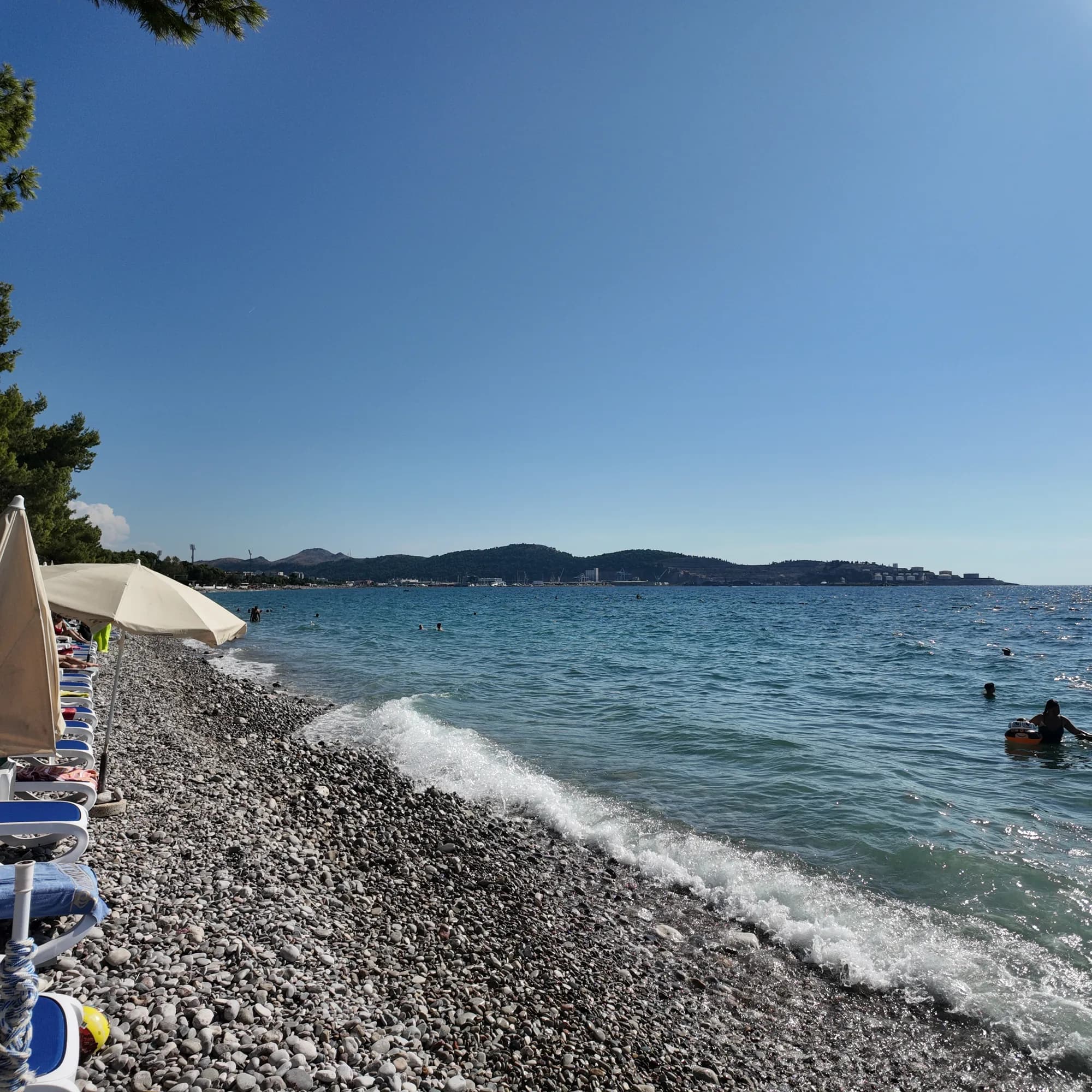
Un chilometro di ciottoli sotto pini d'Aleppo maturi all'estremità settentrionale del lungomare di Bar, l'inizio della Passeggiata del Re di 3,6 km e la spiaggia cittadina usata dai locali.
- Fondo
- ciottoli
- Ingresso
- ingresso moderato
- Carattere
- tratti attrezzati e liberi
- Lunghezza
- 1000 m
Riviera di Bar
Veliki PijesakVeliki pijesak, Dobra Voda
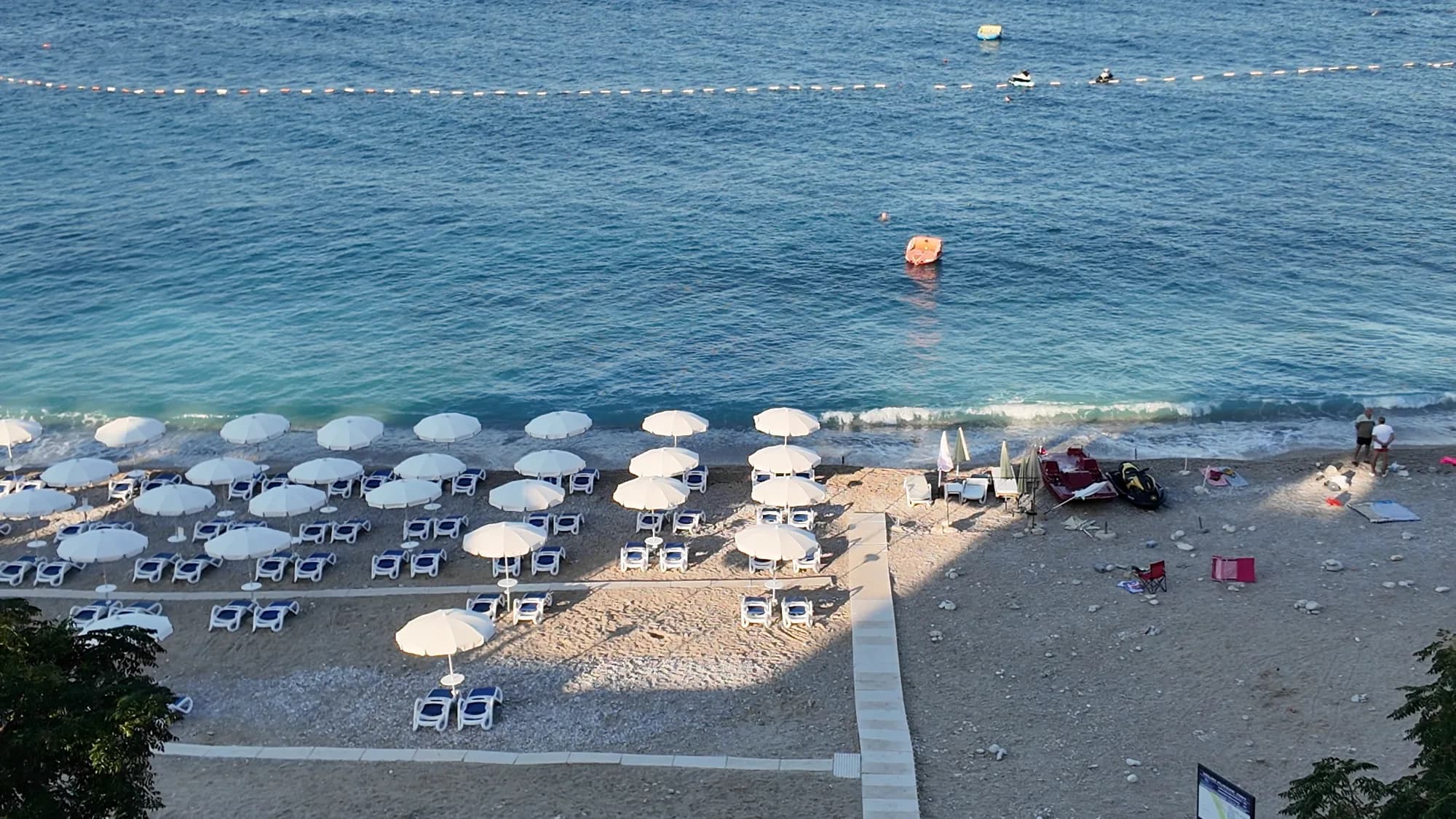
Un arco di 380–480 m di ghiaia con tratti sabbiosi, un isolotto a 23 m dalla riva e un tramonto che cade sul mare aperto in ogni mese dell'anno.
- Fondo
- ciottoli
- Ingresso
- ingresso moderato
- Carattere
- attrezzata
- Lunghezza
- 380–480 m
Riviera di Ulcinj
Women's BeachŽenska plaža
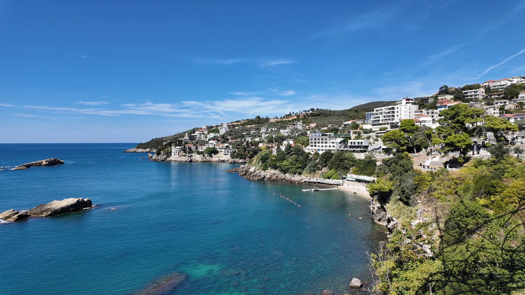
Una cala schermata a est di Ulcinj con una sorgente sulfurea nei bassifondi, gestita come area balneare riservata alle donne da maggio a ottobre e visitata per una tradizione di fertilità più antica di qualsiasi suo gestore.
- Fondo
- ciottoli
- Ingresso
- ingresso roccioso
- Carattere
- attrezzata
- Lunghezza
- 50–100 m