.webp&w=2048&q=75)
Morinj is where the Bay of Kotor stops behaving like a dry Mediterranean coast. Freshwater rises beneath the mountains, crosses a green alluvial field and reaches the sea through a web of short streams. Stone bridges, mill buildings, terraced plots and scattered churches record how generations adapted to that abundance of water. The village is small, but its landscape explains an entire way of living around the bay.
Most visitors encounter Morinj on the coastal road between Risan and the Kamenari ferry. It can seem like a brief patch of shade and water glimpsed between larger destinations. A slower visit reveals something more consequential: a settlement whose natural systems and built heritage still read as one composition. This guide focuses on that relationship, while our complete Morinj travel guide covers the broader accommodation and trip-planning picture.
.webp&w=1080&q=75)
The village that water built
An official study of cultural properties in Kotor municipality describes Morinj's greatest value as the quality of a landscape formed through centuries of interaction between people and nature. The study records many freshwater springs feeding a short river through Morinjsko Polje, or Morinj Field, with mills constructed along its course. That evidence matters because it moves the village beyond picturesque description: water determined where people built, worked, crossed and cultivated.
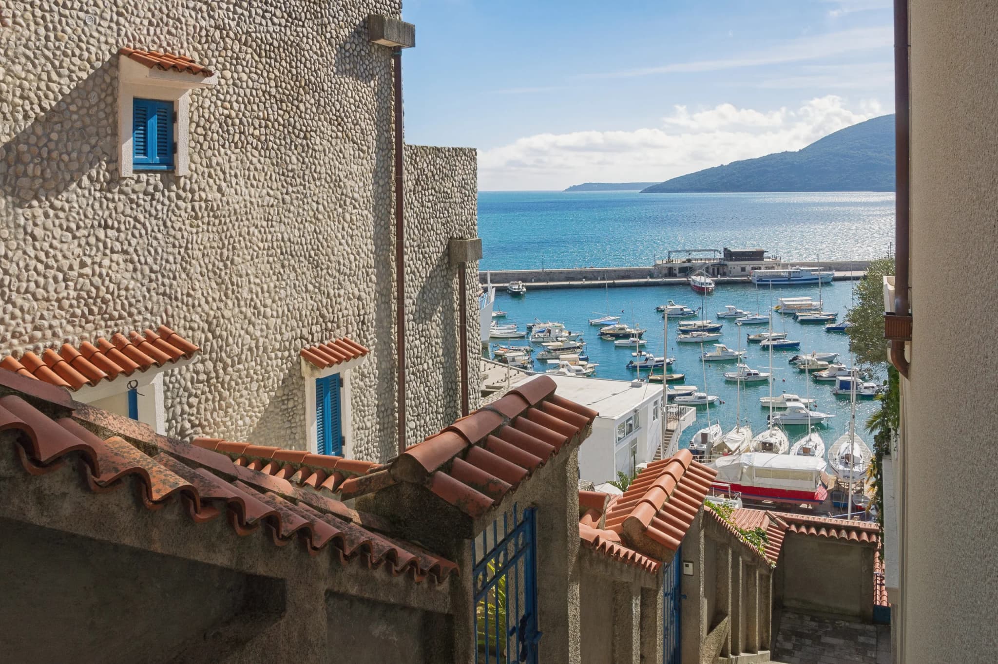
The contrast with the rockier shores of the bay is immediate. Reeds and water-loving plants gather around channels. Poplars and dense garden vegetation interrupt the usual sequence of stone walls and exposed slopes. Behind the lower settlement, Gornji Morinj rises through hamlets and terraced parcels supported by dry-stone walls. The heritage study notes roads paved in stone, arched bridges over streams, and yards organized around the terrain rather than imposed upon it.
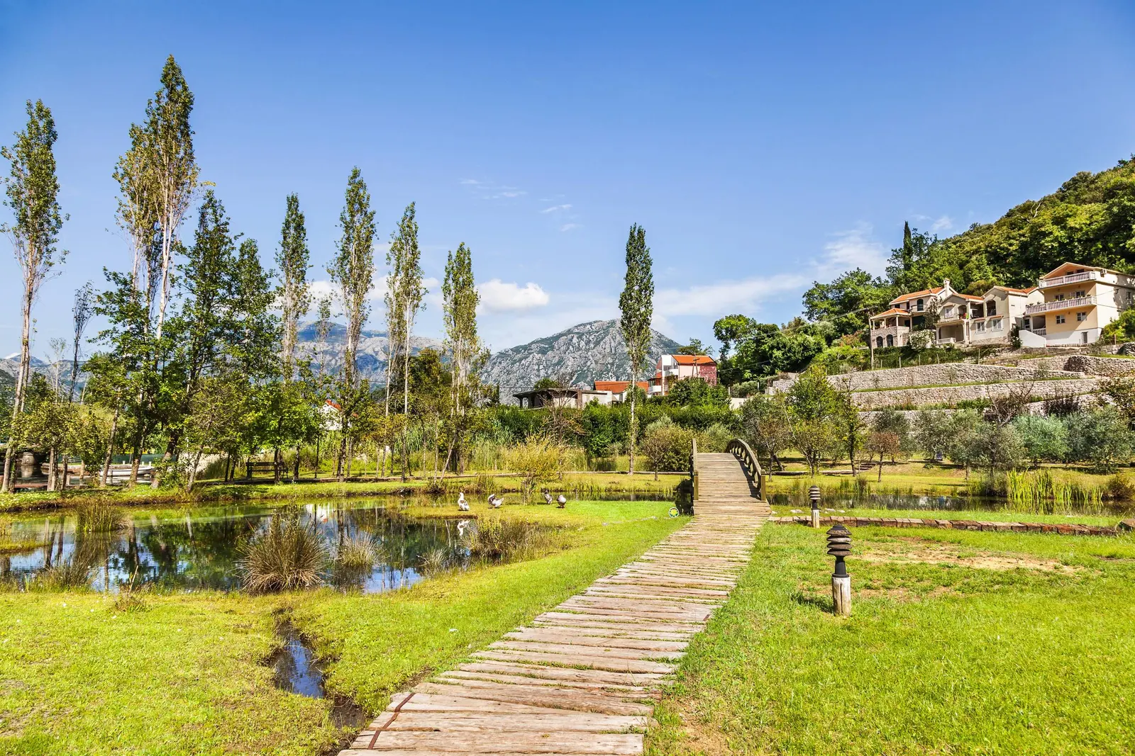
Why the mills belong to a larger system
Morinj's mills were working infrastructure, not decorative follies. Water power connected the mountain catchment to grain and olive processing, while paths and bridges connected upper hamlets with the shore. Some commercial accounts give an exact historical total for the mills, but the authoritative heritage material reviewed for this article confirms the system without establishing that number in its settlement summary. The defensible conclusion is that milling was a defining local activity; the precise peak count needs stronger archival support.
One adapted mill complex survives as a prominent hospitality business. Its own history says the family mills operated for more than two centuries, processing grain and olives. That is useful site-specific testimony, but it should not stand in for the history of every mill in Morinj. Read the surviving structures as parts of a productive waterscape: channels, thresholds, retaining walls, work buildings and domestic spaces were interdependent.
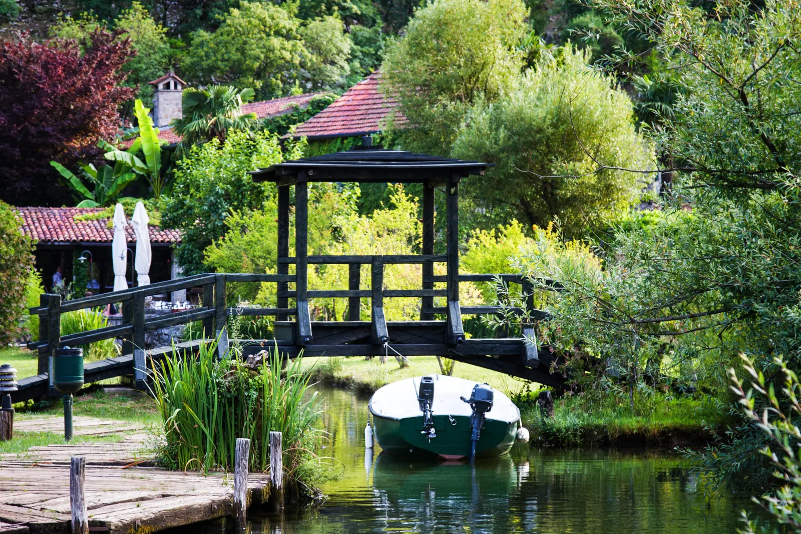
Morinj inside the Kotor cultural landscape
The Natural and Culturo-Historical Region of Kotor was inscribed on the World Heritage List in 1979. UNESCO defines its significance through the relationship between fortified and open settlements, palaces, churches, terraced slopes, roads and the sea. A 2012 ICOMOS evaluation explicitly listed Morinj among the settlements covered by the property's mapped historic landscape. That does not mean every house is a museum or every later building is individually protected. It means the settlement contributes to a cultural landscape whose value depends on relationships and views as much as individual monuments.
This distinction is important for travelers and developers alike. UNESCO's 2014 decision called for controlled development in Morinj, Kostanjica and Glavati and requested heritage-impact assessment. In 2021, the committee again referred specifically to a proposed Morinj accommodation complex and asked that alternatives avoiding harm to Outstanding Universal Value be considered. These are not abstract planning disputes. A large building, altered shoreline or lost terrace can weaken the spatial logic that makes the bay legible.

A field guide to Morinj's heritage
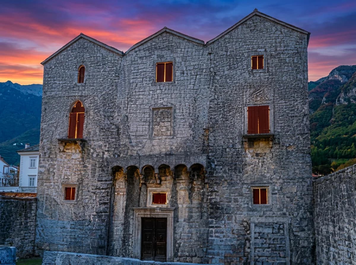
The state heritage study lists four cultural properties in Morinj: the Church of St Petka in Bunovići; the building associated with the first school in the vernacular at Svrčak; the house of Duke Toma Milinović in Donji Morinj; and the Čardak of St Petar, a tower. It separately identifies potential properties and ensembles, including mills, Svrčak, the Pjaca and its residential street, the Vojvodići complex with two mills, and several churches.
Two cautions follow. First, an inventory is not an opening-hours list. Some places are religious buildings, private property, ruins or working premises; admire them from public routes unless access is clearly offered. Second, “potential cultural property” records professional heritage value but does not mean the same thing as a final statutory designation. The difference should remain visible in any responsible visitor guide.
| Layer | Evidence in the heritage study | What to notice responsibly |
|---|---|---|
| Water | Springs, a short river, channels and mill sites | Flow paths, ponds and the relationship between buildings and streams |
| Movement | Stone roads and arched bridges | Use public lanes; do not enter private yards for photographs |
| Agriculture | Terraced parcels, dry-stone walls and small fields | Look uphill from lower Morinj to read the historic land pattern |
| Architecture | Rural houses, summer residences, churches, mills and defensive forms | Compare materials and scale rather than expecting one uniform style |
| Heritage status | Four cultural properties and eight potential properties or ensembles | Do not assume every recorded place is publicly accessible |
Donji Morinj and Gornji Morinj
Lower and upper Morinj are one spatial system but offer different experiences. Donji Morinj holds the coastal road, waterfront, wet field and most obvious visitor services. Gornji Morinj extends into hamlets including Bunovići, Bakoči, Dragomanovići, Lučići, Bekani and Svrčak, according to the heritage study. There, traditional parcels follow slopes, streams and roads. It is a dispersed inhabited landscape, not a signed attraction trail.
A demographic snapshot helps explain the scale. MONSTAT's 2011 census counted 222 residents, 84 households and 242 dwellings in Donji Morinj. The published cells for tiny Gornji Morinj were suppressed under statistical-confidentiality rules. These figures are historical evidence, not a current headcount, but they show why visitor pressure and second-home development can have an outsized effect on a small resident community.
Swimming, food and seasonal reality
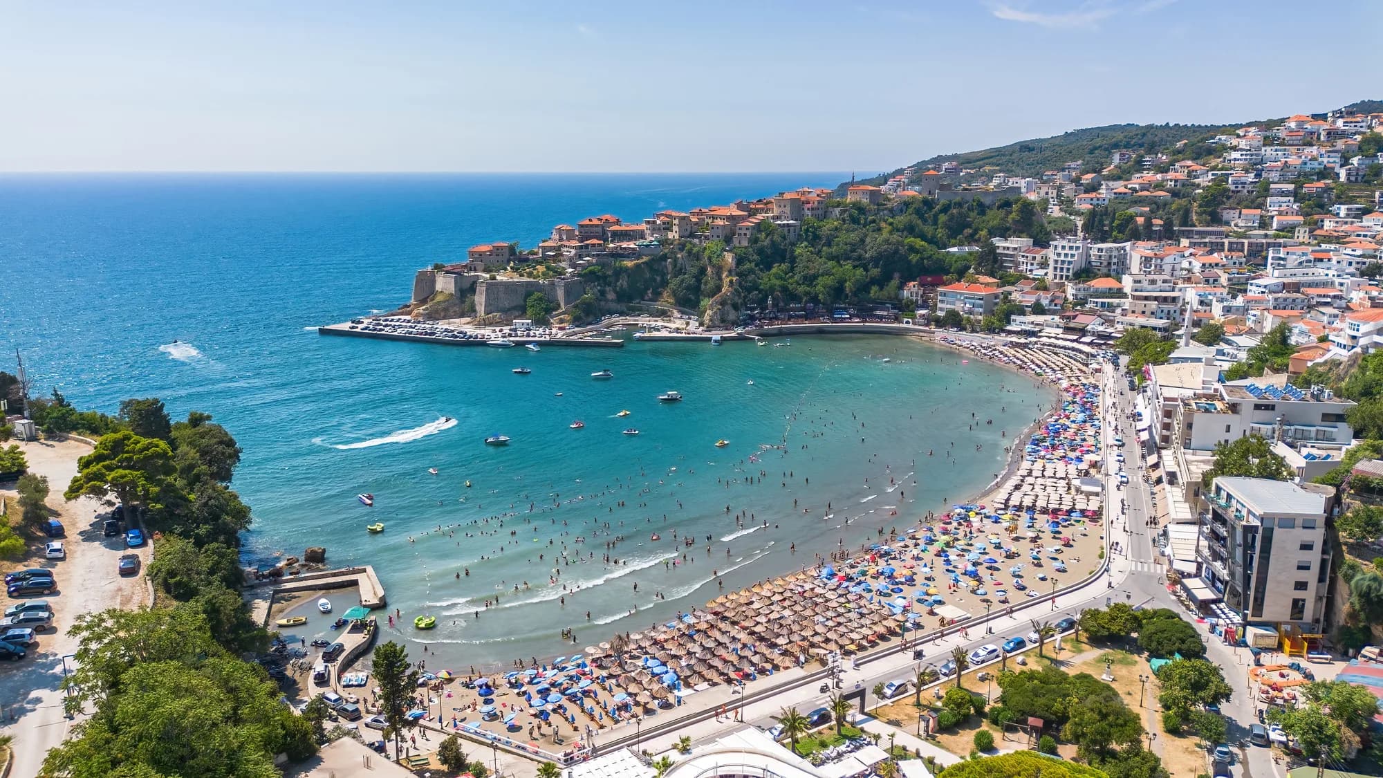
Morinj's waterfront is attractive precisely because cold freshwater reaches the bay here. That can make the sea feel cooler close to the outflows than at more exposed beaches. The shore is relatively small, and its character changes with water level, weather, seasonal services and the number of parked cars. Arrive early in summer, keep access lanes clear and do not promise yourself an empty beach based on an off-season photograph.
The village's reputation for food is anchored in the same mill landscape. If dining is your priority, book directly with the business and verify current opening days rather than relying on an old guide. Our dedicated Morinj practical overview and the feature on the Kamenari–Morinj shore provide complementary context. The broader lesson is that Morinj's hospitality makes most sense when it retains the water, vegetation and modest building scale that created the setting.
Nearby places: choose by contrast
Morinj works well as a quiet base because several very different bay settlements are close enough for half-day trips. Risan offers deeper archaeological history and a broader waterfront; start with our Risan guide. Perast concentrates baroque architecture and boat traffic into a compact shoreline; our Perast guide explains how to visit without treating it as a quick photo stop. Kotor supplies the fortified urban climax; use the complete Kotor guide to plan around crowds and heat.
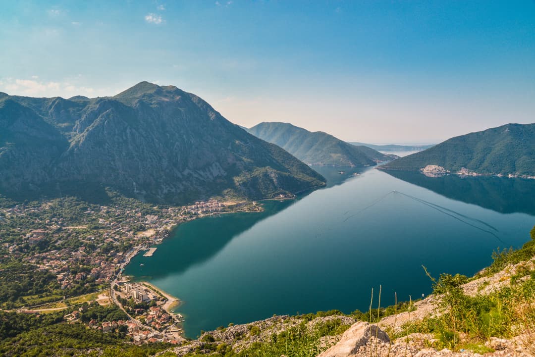
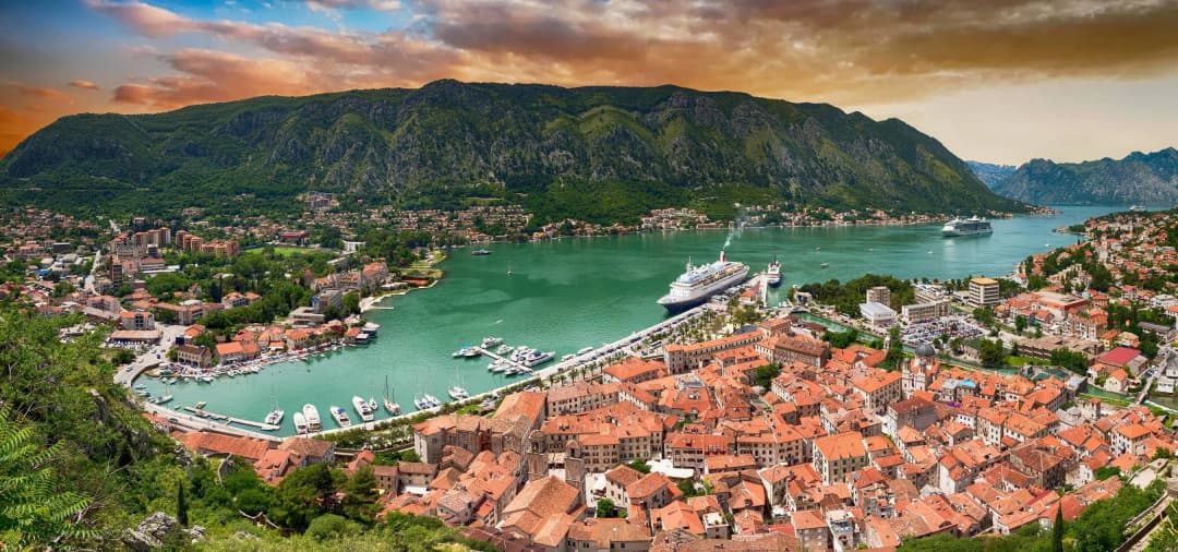
Practical planning: getting there and moving carefully
Morinj lies on the bay road between Risan and Kamenari. Driving gives the most flexibility, but the coastal carriageway is narrow in places and summer congestion can make short distances slow. Park only in marked or clearly permitted areas; never block household access, bus stops or the lanes beside water channels. If arriving by bus, use the Municipality of Kotor's transport page to find the latest dated operator schedule and confirm that the service stops in Morinj. Do not assume a timetable copied from a previous summer remains valid.
Most of lower Morinj can be understood on foot, but surfaces may be uneven, wet or shared with vehicles. Wear shoes with grip around streams and old stone. Upper-hamlet exploration requires more time and sensitivity: routes can be steep, signage limited and property boundaries unclear. Ask locally before following an unsigned lane, carry water and return before dark. Mobile navigation is useful for orientation but should not be treated as permission to cross private land.
A low-impact half-day plan
Begin in the morning with a slow walk through the freshwater landscape, using public paths to observe bridges, channels and the relationship between stone buildings and water. Continue to the shore before midday, then eat locally or travel a few minutes to Risan. If conditions are calm, finish with a swim; if the beach is crowded, use the afternoon for the bay's cultural circuit instead. The objective is not to collect every church or mill as a sight, but to understand the system connecting them.
Frequently asked questions
Is Morinj part of the UNESCO World Heritage landscape?
Yes, UNESCO and ICOMOS documentation explicitly includes Morinj in the Kotor cultural landscape and later World Heritage decisions discuss development there. That status protects the value of the wider settlement-and-landscape relationship; it does not mean every building is individually listed or open to visitors.
Can I visit the old watermills?
You can see elements of Morinj's mill landscape from public areas, and one adapted complex operates as a hospitality venue. Other buildings may be private, fragile or inaccessible. Do not enter a mill, garden or channel without clear permission, even if an online map marks it as an attraction.
Is Morinj a good base without a car?
It can be, if you verify current bus services and are comfortable planning around limited frequencies. A car makes upper hamlets and multiple bay stops easier, but parking and traffic reduce that advantage in peak season. For a short stay centered on walking, swimming and food, the lower village is manageable.
How long should I spend in Morinj?
A half day is enough to read the water landscape, walk the shore and have a meal. One or two nights suit travelers who want a quieter base for Risan, Perast and Kotor. Longer stays work best for people content with a small settlement and limited nightlife.
Sources and reporting method
This article was rebuilt from institutional and primary-source material accessed on 26 August 2026. World Heritage boundaries, values and conservation concerns were checked against the UNESCO property record, the 2012 ICOMOS evaluation, the committee's 2014 Morinj decision and its 2021 follow-up. Settlement form, mills and the heritage inventory come from the Kotor cultural-property study lodged with UNESCO. The historical population benchmark comes from MONSTAT's 2011 settlement tables. Practical context was checked with the Municipality of Kotor, the Tourism Organisation of Kotor, Montenegro's national tourism organization and the official history of Ćatovića Mlini. Exact mill totals, current population, fixed transport times and universal public access were omitted because the available evidence did not support durable claims.