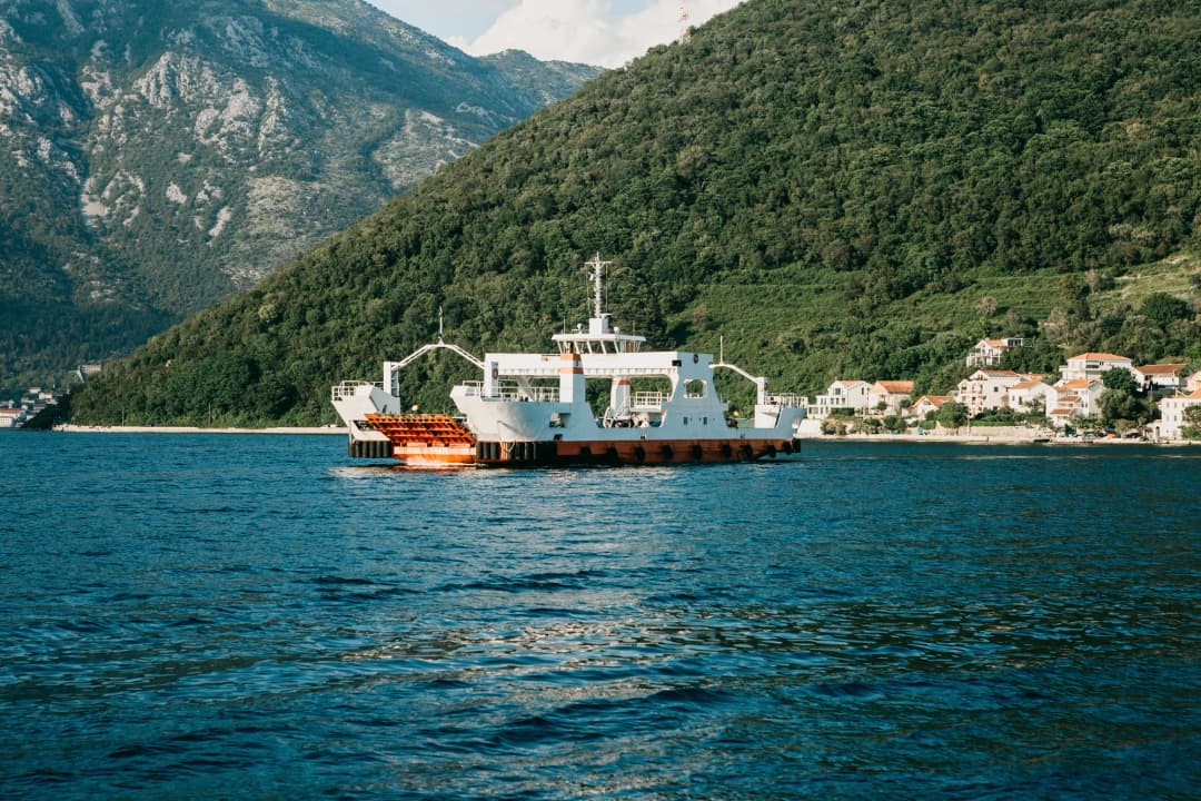
Kamenari and Morinj sit on the same northern shore of Boka, but they answer different travel questions. Kamenari is a transport hinge at the Verige Strait: cross to Lepetane or continue around the inner bay. Morinj is a water-made settlement where karst springs, short streams, bridges and former mills explain the landscape. This guide treats them as a paired journey without pretending that a ferry timetable, a road queue or access to a historic building is permanent.
Kamenari and Morinj at a glance
| Question | Evidence-backed answer | Live check |
|---|---|---|
| What is Kamenari for? | Northern terminal of the vehicle-and-passenger ferry across Verige | Operating notice, queue and vehicle class |
| What is Morinj known for? | Karst water, the Protivnik stream and a historic mill landscape | Public access, opening and water level |
| How narrow is Verige? | Approximately 350 metres in peer-reviewed geomorphology | Marine traffic and weather |
| Is all of Boka UNESCO-listed? | No; the inscription is a defined 14,600-hectare property | Property and buffer-zone maps |
| Can I swim nearby? | There are named bathing sites around the bay | Exact sampling point, date, flags and local conditions |
| System | Key figure | Character |
|---|---|---|
| Verige | ≈350 m | Narrow marine gateway |
| Kamenari | Crossing | Live operating decision |
| Morinj | Fresh water | Streams + mill history |
| Note | — | Geometry is stable; transport, access and water conditions are not. |
Source: sciencedirect.com, trajekt.me, hrcak.srce.hr
Verige: the bay’s narrow hinge
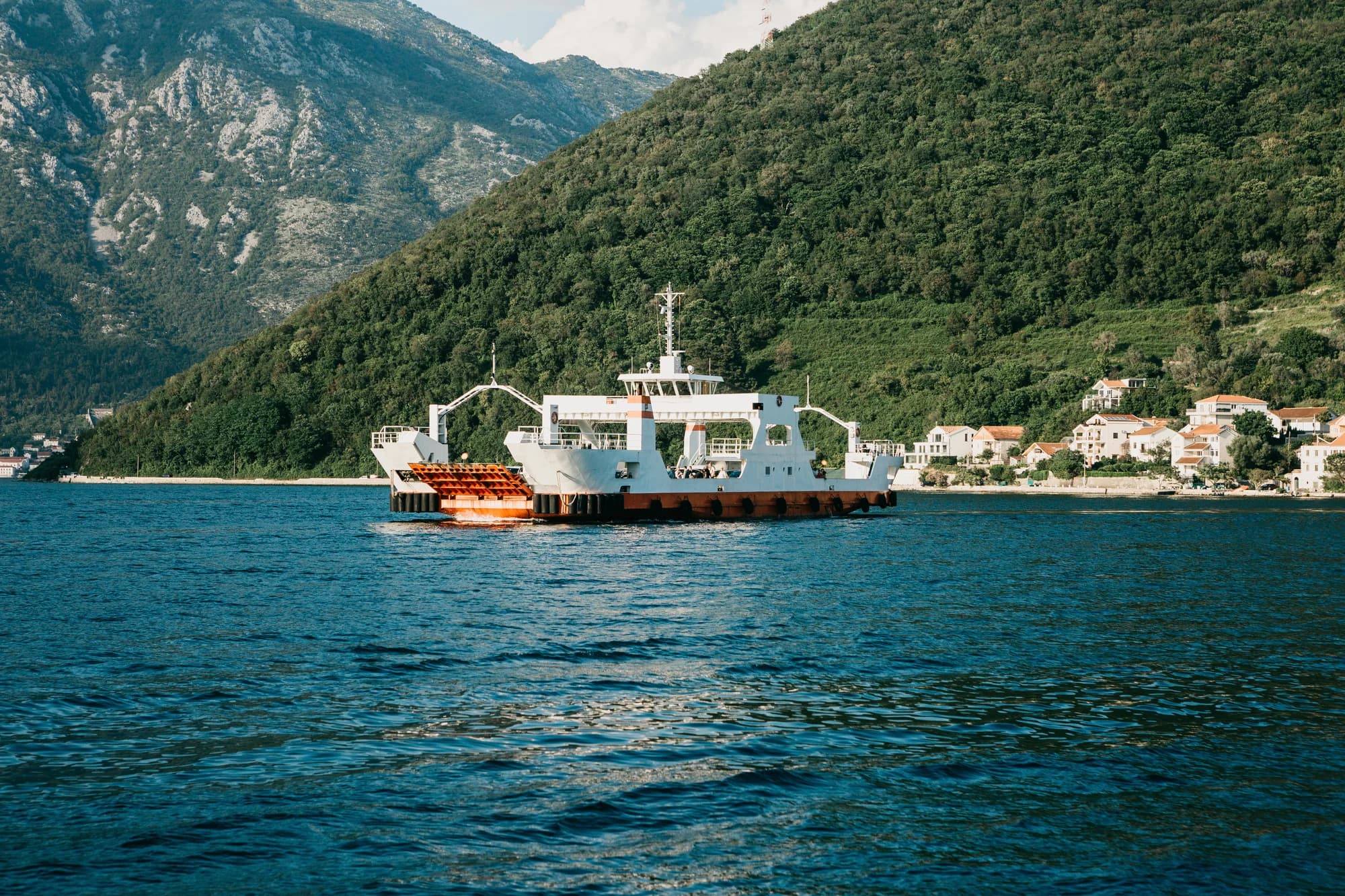
Boka is frequently marketed as a fjord. The more defensible geological description is a ria: a drowned river-valley system whose modern form reflects sea-level change, erosion, sedimentation and tectonics rather than glacial carving. A peer-reviewed seabed study divides it into three main basins linked by two narrow passages and gives both Kumbor and Verige as approximately 350 metres wide. Verige connects the inner Morinj–Risan–Kotor basin with the Tivat basin.
That geometry is not merely scenic. A narrow exchange controls water movement, concentrates navigation and turns both shores into strategic viewpoints. It also makes new infrastructure visually consequential. UNESCO has repeatedly examined proposals for a bridge here; its current conservation work frames transport as part of a larger cumulative-development problem, not a single engineering calculation. The 2025 advisory mission calls the World Heritage property exceptionally fragile and links sustainable tourism management to protection of its Outstanding Universal Value.
| Stage | Detail |
|---|---|
| Outer basin | Open approach |
| Central basin | Leads inward |
| Verige | ≈350 m passage |
| Inner basin | Two branches |
| System | A ria system with steep shores, karst inputs and constrained passages |
Source: sciencedirect.com
The UNESCO boundary is precise
The World Heritage inscription does not cover every shore commonly called the Bay of Kotor. UNESCO defines the Natural and Culturo-Historical Region of Kotor as a 14,600-hectare property encompassing the best-preserved inner southeastern part of the bay, with a separate 36,491-hectare buffer zone. The distinction matters at Verige and Morinj because views, settlement patterns and development outside the most famous old-town core still affect the larger cultural landscape.
A 2018 UNESCO/ICOMOS mission described the coast west from Verige toward Morinj as a tree-covered cliff slope with terraces and domestic-scale buildings becoming more evident where the land eases. It also documented development pressure along that shore. That is why “empty hillside” is a poor reading: apparently open land can be part of the setting whose scale, vegetation and visual continuity carry heritage value. The current inner-bay day guide helps place the better-known monuments in this wider landscape.
Kamenari ferry: what the 2026 operator actually publishes
The operator’s 2026 summer plan applies from 4 May through 14 October and says departures run every 15–20 minutes continuously through day and night. The published winter plan applies from 15 October 2025 through 3 May 2026: every 20 minutes from 06:00 to midnight, then Kamenari at the full hour and Lepetane at half past. These are scheduled patterns, not promises of immediate boarding. Vehicle queues, loading, maintenance, weather and temporary controls can extend the real journey.
The official price page is similarly specific about some categories but should not be stretched beyond what it says. It lists pedestrians, cyclists, people with disabilities and named emergency/public-service vehicles as free; it also publishes a €3 concession for residents of Tivat and Herceg Novi. Visitors with a car, motorcycle, van or trailer should select the correct class in the operator’s current price list or online purchase flow. Do not infer a visitor fare from the resident line.
| Item | Detail |
|---|---|
| Published for summer 2026 | 15–20 min |
| Pattern | Continuous day + night pattern |
| Check before joining | Vehicle class + live price |
| Check before joining | Queue + operating notice |
| Check before joining | Weather + road conditions |
| Note | Frequency describes departures; it does not describe your total wait. |
Source: trajekt.me
Cross or continue around the shore?
The ferry is useful when the next purpose lies on the opposite shore. Continuing by road is useful when the inner-bay landscape is the purpose. Neither option is universally faster: the comparison changes with the queue, road congestion, planned stops and exact destination. The M1 corridor is a working residential and regional road; a 2026 government consultation even treats the Meljine–Kamenari section as a strategic road-noise corridor. That is a reminder that this is not a quiet scenic lane reserved for visitors.
If continuing, design a small number of deliberate stops. Use the Roman mosaics evidence guide for the inner-bay archaeological visit and the rock-art guide before considering a roadside stop. Each has different access conditions. The opposite-shore guide is the right context after crossing. Navigation apps estimate movement; they do not establish legal parking or pedestrian safety.
| Purpose | Action | Check |
|---|---|---|
| Opposite shore is next | Check ferry | Queue • class • operation |
| Inner shore is the trip | Continue | Stops • parking • daylight |
Montenegro.com editorial framework—not an operator travel-time promise.
Morinj: why fresh water is the real subject
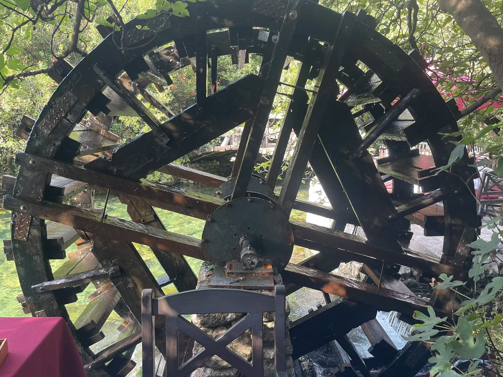
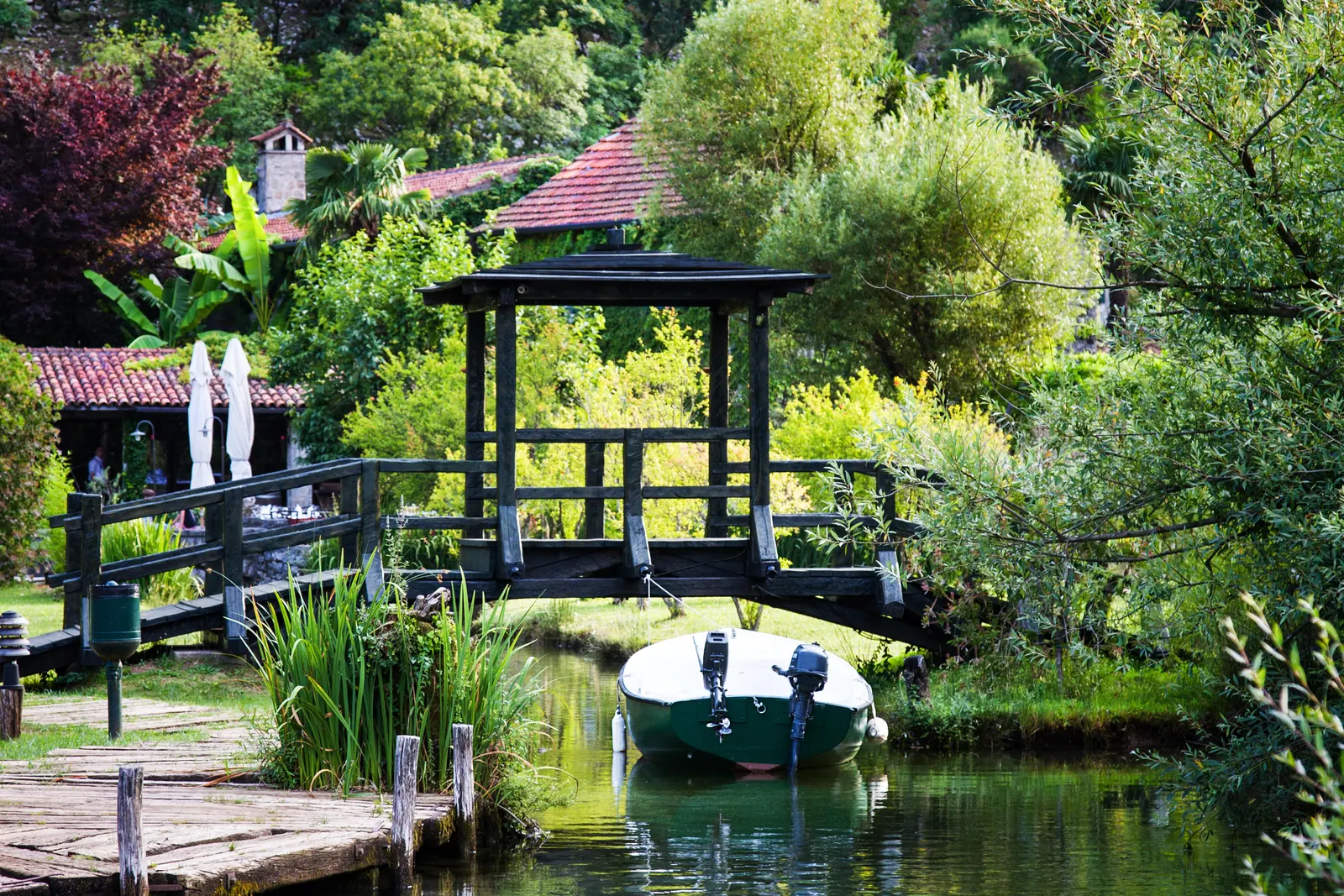
Morinj makes sense from the slope down. Carbonate rock stores and redirects rainfall; springs emerge where geology and relief allow; short channels carry that water to the sea. A detailed geographic study names the Protivnik stream, records several strong springs at the mountain foot and notes mills near the mouth. It says three mills had water throughout the year and were among Boka’s busiest. This supports the historic relationship between flow and milling—it does not mean three public working mills await visitors today.
Fresh water also changes the visual and ecological feel of the shore. Vegetation gathers around channels, bridges cross surprisingly small distances, and seawater near discharge points can feel different after rain. The coastal-mountain guide explains the broader rainfall and karst context without turning an extreme climate statistic into a daily forecast. Water level, clarity and flow vary; never enter a channel or private property because an old photograph suggests access.
| Step | Stage |
|---|---|
| 1 | Karst slope |
| 2 | Springs |
| 3 | Short stream |
| 4 | Historic mill use |
| 5 | Bay |
Source: hrcak.srce.hr
How to read the mills without inventing access
A former mill can now be a ruin, home, restaurant, storage building or restored structure. Its legal access and opening hours are separate from its historic function. Read exterior relationships first: the channel supplying water, the fall that created power, the building position and the route from mill to shore. Ask permission before entering a courtyard, crossing a gate or photographing people at work. If a business occupies a historic structure, its booking and opening information comes from that operator—not from the age of the building.
The dedicated fresh-water village article goes deeper into this landscape. For this paired route, the essential point is restraint: a short stop can explain a great deal if it follows existing public space. More movement does not necessarily reveal more history.
Swimming and shoreline checks
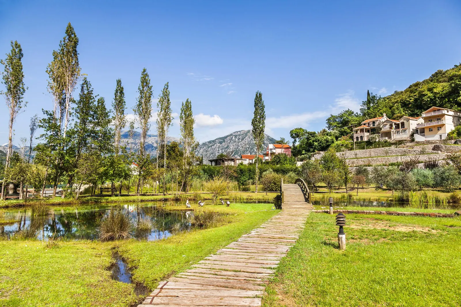
A calm inner bay is not automatically a safe or suitable swimming site. The Montenegrin Coastal Zone publishes beach-level bathing-water results by municipality, beach, season and sample. Find the exact named point and newest result. Then check local signs, visibility, marine traffic, weather, water entry and the presence of a usable public exit. Freshwater discharge can alter temperature and clarity close to shore, especially after rain.
Do not generalise one sampling result to an entire settlement or carry last season’s rating into 2026. Sampling answers a defined microbiological question at a time and place; it does not certify depth, current, access, lifeguards, parking or accessibility. If no exact current result can be identified, treat that uncertainty as a reason to choose a monitored site elsewhere.
| Check | Focus | What to confirm |
|---|---|---|
| 1 | Point | Exact beach |
| 2 | Date | Newest sample |
| 3 | Site | Flags + exit |
| 4 | Boats | Traffic space |
| 5 | Water now | A sample does not certify currents, depth, access, lifeguards or weather. |
Source: monitoring.morskodobro.me, hrcak.srce.hr
Practical half-day structure
Start by deciding whether the ferry or the northern shore is the principal purpose. If the shore wins, use one water-landscape stop and one documented heritage stop, leaving slack for safe parking and walking. If the ferry wins, cross first and treat Morinj as a separate outing rather than an improvised turnaround in traffic. The National Tourism Organisation’s Sea and Heights route map is useful for regional orientation, but a promotional map cannot confirm today’s roadworks, parking or opening.
- Before departure: open the official ferry schedule, current price class, road notices and weather.
- At Kamenari: observe the queue before committing; never block an access lane to take a photograph.
- At Morinj: use an established public stopping place and read channels and bridges from public space.
- Before swimming: match the exact beach to the newest monitoring result and reassess on site.
- Before leaving: check the next route rather than assuming the earlier queue or road condition still applies.
| Block | Focus |
|---|---|
| Decide | Cross or shore |
| Read water | Public space |
| One record | Evidence first |
| Keep slack | Queue + access |
Montenegro.com editorial framework—not a timed operator itinerary.
Frequently asked questions
Is the Kamenari ferry running all night in summer 2026?
The official summer plan says departures run continuously day and night every 15–20 minutes from 4 May through 14 October 2026. Check the operator on the day for disruption or maintenance.
How much is the ferry?
Price depends on category. The official page identifies free categories and a €3 local-resident concession, but visitors should select the current vehicle class rather than copying that concession.
Is Verige 300 metres wide?
Peer-reviewed sources give approximately 340–350 metres at the narrow passage. This guide uses approximately 350 metres rather than repeating the inherited rounded claim.
Is Boka really a fjord?
No in geological terms. It is a ria system. “Fjord” survives as tourism shorthand but implies a glacial origin the seabed research does not support.
Are Morinj’s old mills open to visitors?
Historic evidence confirms a mill landscape, not universal present-day access. Buildings can be private, adapted or closed. Use current operator information and ask permission.
Can I park beside any stream or viewpoint?
No. Use a marked or clearly lawful public place and keep carriageways, ferry approaches, gates and pedestrian routes clear. A map pin does not establish parking rights.