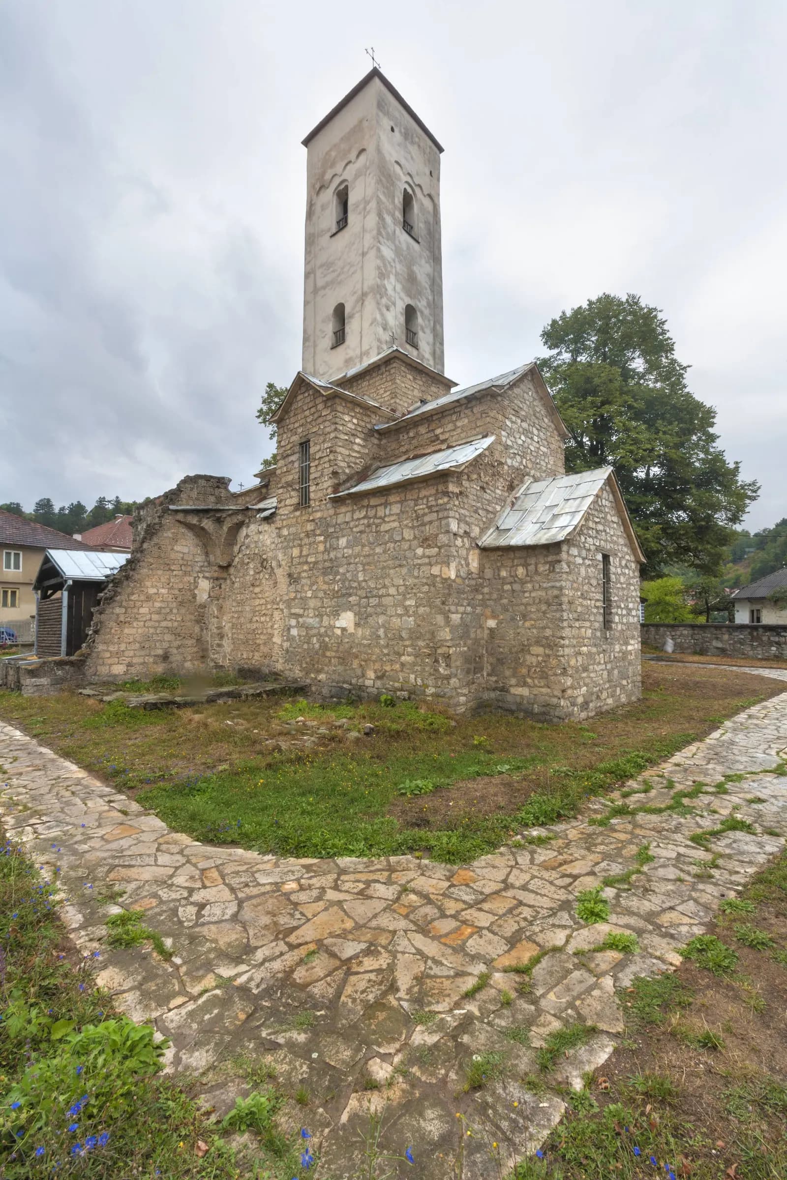
Trgovački grad doline Lima: crkva iz 12. vijeka za koju je naručeno Miroslavljevo jevanđelje i stanica na pruzi Beograd–Bar na kojoj se pečate pasoši.
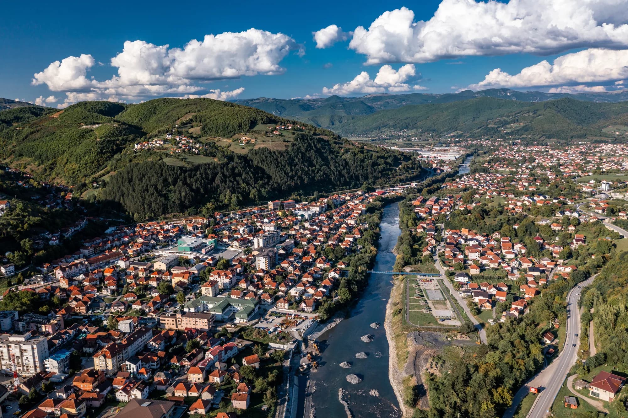
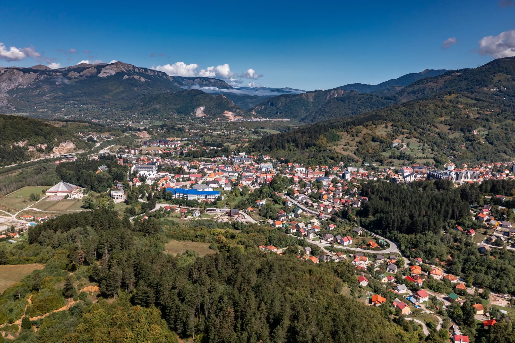
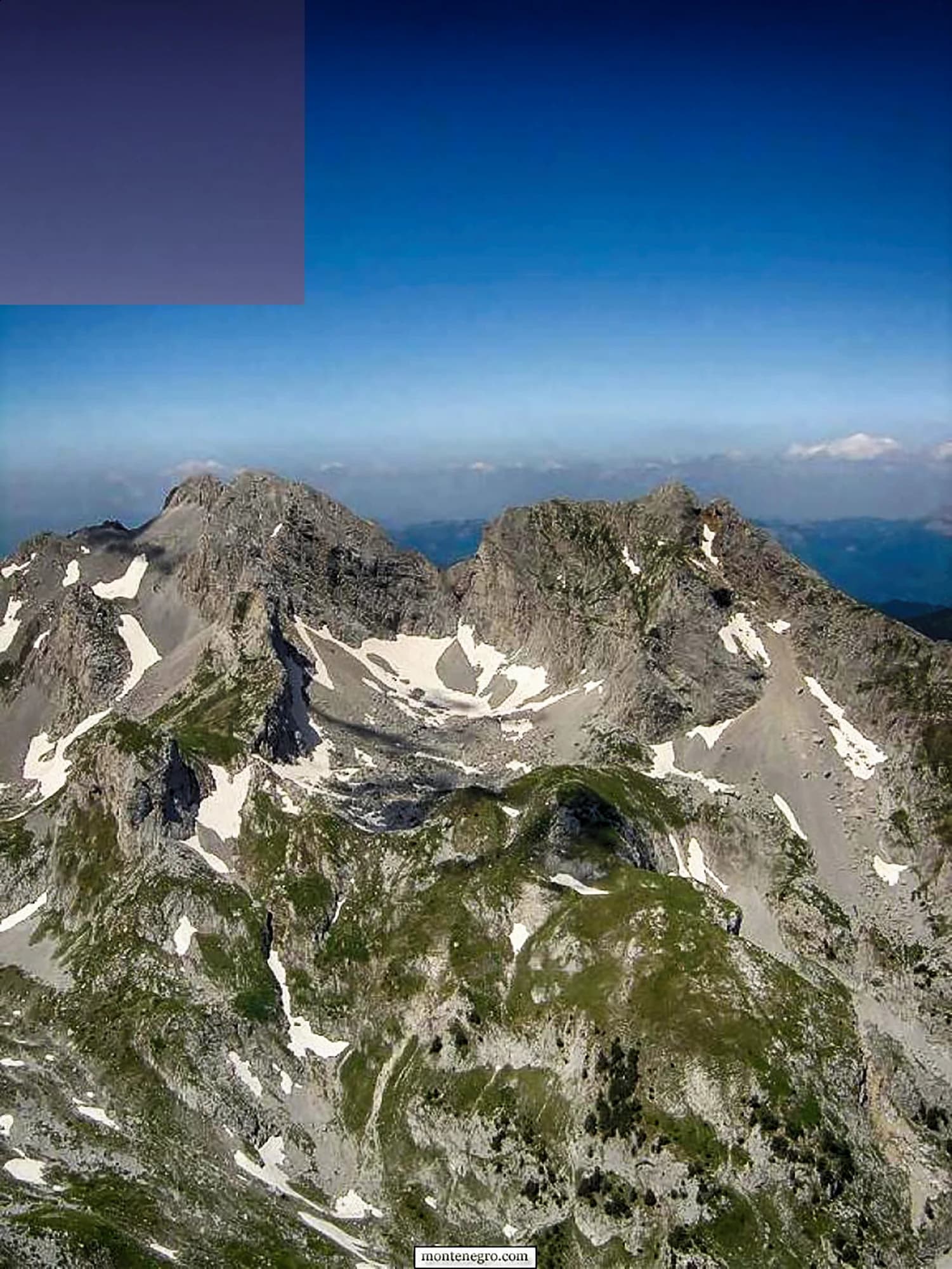
Bijelo Polje je sjevernocrnogorski grad na rijeci Lim, poznat po bogatom multietničkom nasljeđu i srednjovjekovnim spomenicima. Crkva Svetog Petra, iz 12. vijeka, među najstarijima je u zemlji i sadrži ostatke ranih fresaka. Grad služi kao praktična kapija ka planinskom masivu Bjelasica i njegovim aktivnostima u prirodi. Sa živom čaršijskom četvrti koja odražava vjekove osmanskog i slovenskog kulturnog prožimanja, Bijelo Polje nagrađuje putnike koji istražuju manje posjećenu unutrašnjost Crne Gore.
Prizori: Bijelo Polje
Boravak u gradu Bijelo Polje
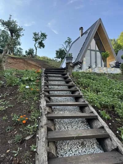
1 smještaj u gradu Bijelo Polje
Zemlja po opštinama
Broj stanovnika opština, popis 2023.
Četvrta opština po veličini u Crnoj Gori i daleko najveća na sjeveru — Berane, Pljevlja i Rožaje imaju između 23.000 i 25.000 stanovnika svaka.
MONSTAT, popis 2023, nivo opština
Grad ili selo
Udio stanovnika svake opštine koji žive u glavnom gradu, 2023.
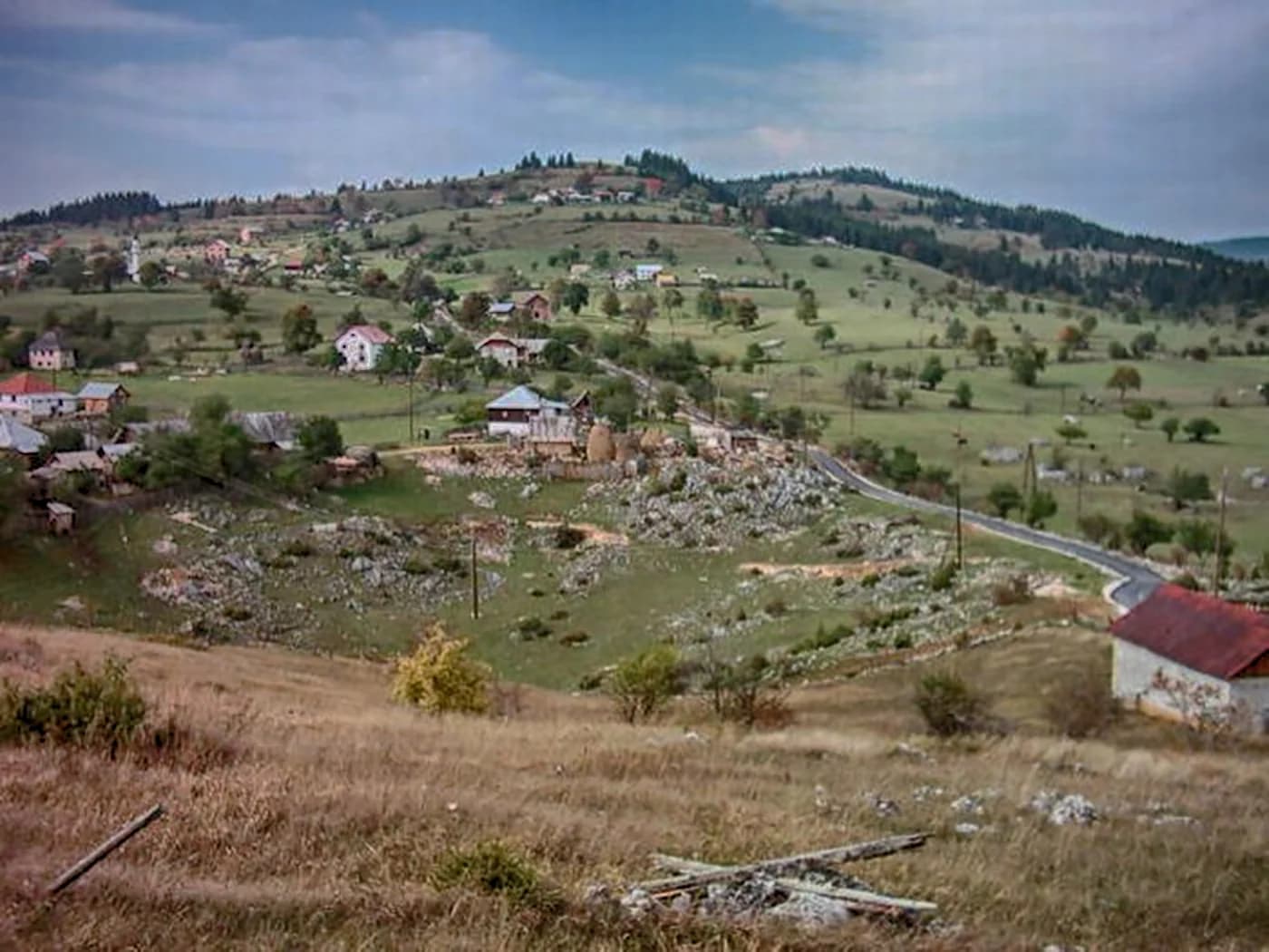
Sedmoro od desetoro ljudi ovdje živi van grada — najmanji gradski udio od svih velikih opština u zemlji.
MONSTAT, popis 2023, nivo opština i naselja
Ko posjećuje Crnu Goru
Udio noćenja stranih gostiju, 2025.
MONSTAT · 2025
Ko živi ovdje
Popis stanovništva, opština Bijelo Polje
Linija prikazuje opštinu: 50.284 stanovnika 2003, 38.662 u 2023 — za dvadeset godina otišla je gotovo četvrtina. U gradu ih živi 11.635, što Bijelo Polje čini četvrtom opštinom po veličini u Crnoj Gori i najmanje urbanom među velikima.
Nemanjići, Osmanlije, Jugoslavija
Četiri i po vijeka zabilježenog života grad je proveo kao Akova, osmanska pijaca na dubrovačkom karavanskom putu. Širine su u razmjeri.
Crkva se pretpostavlja oko 1190; Jevanđelje naručeno 1180, prepisano 1186–1190; Osmanlije zauzimaju Bihor 1455; džamija 1691–1912; pruga 28. maja 1976.
Dan na Limu
Radni grad i vozovi koji u njemu staju
00:00voz Lovćen sa spavaćim kolima za Beograd staje u 00:10, onaj za Bar u 03:44
08:00pijaca: sir i povrće iz doline
12:00dnevni voz za sjever, samo ljeti, polazi u 12:52
15:00Sveti Petar i Nikoljac — dvije srednjovjekovne crkve, obje blizu centra
17:00ljetnji dnevni voz na jug za Podgoricu i Bar, 17:40
20:00korzo glavnom ulicom; na 578 m veče se brzo rashladi
1912
U međuvremenu — 1912
Godina kada je Akova postala Bijelo Polje
Bijelo Polje,Prvi balkanski rat počinje 9. oktobra 1912. Istočni odred crnogorske vojske, pod brigadirom Jankom Vukotićem i stacioniran oko Kolašina, Žabljaka i Andrijevice, za manje od mjesec dana zauzima Mojkovac, grad na Limu i Berane. Osmanska Akova nestaje nakon četiri i po vijeka.
St Peter’s —crkva koja je od 1691. služila kao džamija vraća se pravoslavnoj parohiji. Ponovno osveštanje obnovljenog broda zakazano je za Petrovdan 1923; ktitorska ploča, premještena pod Osmanlijama, ponovo stoji iznad zapadnih vrata.
The Sanjak —oblast kojom se od 1865. upravljalo iz Novog Pazara, a poslije 1902. iz Sjenice, dijeli se između Srbije i Crne Gore. Granica se ustaljuje na Dobrakovu, četrnaest kilometara sjeverno od grada, gdje i danas prolazi.
The Atlantic:Titanik je potonuo tog aprila. Hiljadu devetsto dvanaesta stigla je na Lim u oktobru.
Today —osmansko ime opstaje u gradskom planinarskom i speleološkom klubu Akovo, čiji članovi vode četvoročasovne ture u pećinu Đalovića.
Glasovi
“Izrađeno za crkvu Svetog Petra po Miroslavljevom nalogu: 362 pergamentne stranice, oko trista minijatura i inicijala u zlatu, jedan od najstarijih sačuvanih rukopisa srpske redakcije crkvenoslovenskog jezika.”
Miroslavljevo jevanđelje
UNESCO ga je 2005. upisao u registar Pamćenje svijeta. Knjiga je dospjela u Hilandar, zatim 1896. kralju Aleksandru, a danas je u Narodnom muzeju u Beogradu; prema Wikipediji, samo prepisivanje, 1186–1190, obavljeno je u Kotoru, a ne ovdje.
Bijelo Polje: uporedite sve hotele
Pretražite hiljade hotela i apartmana sa aktuelnim cijenama.
Bijelo Polje leži na Limu na sjeveru Crne Gore, blizu granice sa Srbijom, oko 100 km od Podgorice putem. Jedan je od većih sjevernih gradova i stanica na pruzi Beograd–Bar, pa je lako dostupan i bez auta.
Šta znači ime grada?
Bijelo polje. Uobičajeno objašnjenje su bijele rade koje su nekad prekrivale livade uz Lim, a ime se prvi put pominje u 14. vijeku. Dolina je i danas obradiva, široka i zelena, s brdima s obje strane.
Šta je crkva Svetog Petra?
Crkva iz 12. vijeka na rubu grada, i razlog zbog kojeg se Bijelo Polje pominje u svakoj istoriji književnosti: ovdje je osamdesetih godina 12. vijeka za kneza Miroslava napisano Miroslavljevo jevanđelje, najstariji sačuvani ćirilični rukopis ovog prostora.
Gdje se danas nalazi Miroslavljevo jevanđelje?
U Narodnom muzeju u Beogradu, a ne u Bijelom Polju. UNESCO ga je 2005. uvrstio u registar Pamćenje svijeta. Crkva u kojoj je nastalo i dalje stoji, a grad čuva faksimil.
Šta se može raditi oko Bijelog Polja?
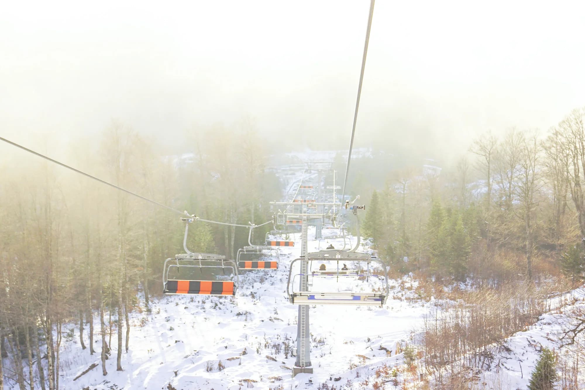
Istočno je Đalovića klisura sa svojim pećinskim sistemom, jednim od najdužih na Balkanu i još uvijek neistraženim do kraja. Na jugu je Bjelasica za šetnju i skijanje, a sam Lim koristi se za rafting i ribolov.
Vrijedi li se zaustaviti u Bijelom Polju?
Prije svega zbog crkve Svetog Petra, i kao praktičan predah na putu ili pruzi prema sjeveru. To je radni grad mješovitog stanovništva, a ne turističko odredište, i najbolje ide kao pola dana uz Đalovića klisuru ili Bjelasicu.
Ima li aerodrom u Bijelom Polju?
Ne — najbliži je aerodrom Podgorica (TGD), 114 km putem.
Bijelo Polje – Mojkovac: koliko je kilometara?
23,3 km putem, oko 40 min vožnje.
Koliko je bezbjedno u Bijelom Polju?
Britansko Ministarstvo inostranih poslova (FCDO) nema upozorenje protiv putovanja u Crnu Goru; svoje smjernice je posljednji put revidiralo 13. avgusta 2026. To je njihova procjena države u cjelini, ne naša i ne ocjena o ovom gradu, pa je pročitajte sami prije puta. Broj za hitne slučajeve u Crnoj Gori je 112.
Bijelo Polje kroz godinu
julPetrovdan — 12. jul, hramovna slava Svetih Petra i Pavla — dan određen za ponovno osveštanje obnovljene crkve 1923.
sepRatkovićeve večeri poezije — festival poezije, koji traje od 1973, otvara se 3. septembra, na rođendan Rista Ratkovića; 56. izdanje održano je 3–5. septembra 2026, sa 46 knjiga prijavljenih za njegovu nagradu
Lokalni tanjir
Riblja čorba
Ispod grada Bistrica se uliva u Lim, na mjestu koje svi zovu Ušće. Opština tamo održava Dane riblje čorbe: riblja čorba, pečena i dimljena riječna riba i narodna muzika na obali.